GR70: The Stevenson Trail, 272 km Through the Cévennes
The GR70 Stevenson Trail in twelve stages, from the volcanic plateau above Le Puy to the chestnut valleys of the Cévennes, and the two days that actually hurt.

Ajda
Published September 8, 2026
Edited September 15, 2026
20 min read
Quick links
In September 1878 Robert Louis Stevenson left Le Monastier-sur-Gazeille with a donkey called Modestine and twelve days of supplies, heading south into the Cévennes with no plan beyond walking and writing. He was 27, recently heartbroken, and looking for something he could not name.
What he found, and wrote up as Travels with a Donkey in the Cévennes, was a country of volcanic plateau, chestnut forest and stone villages left largely alone for centuries. That book helped invent the travel memoir, and the route it describes is now the GR70, known in France as the Chemin de Stevenson.
It runs 272 kilometres from Le Puy-en-Velay to Alès across four departments, the Haute-Loire, the Ardèche, the Lozère and the Gard, though most walkers finish at Saint-Jean-du-Gard on the edge of the Cévennes National Park. It is not the most spectacular trail in France and it does not try to be.
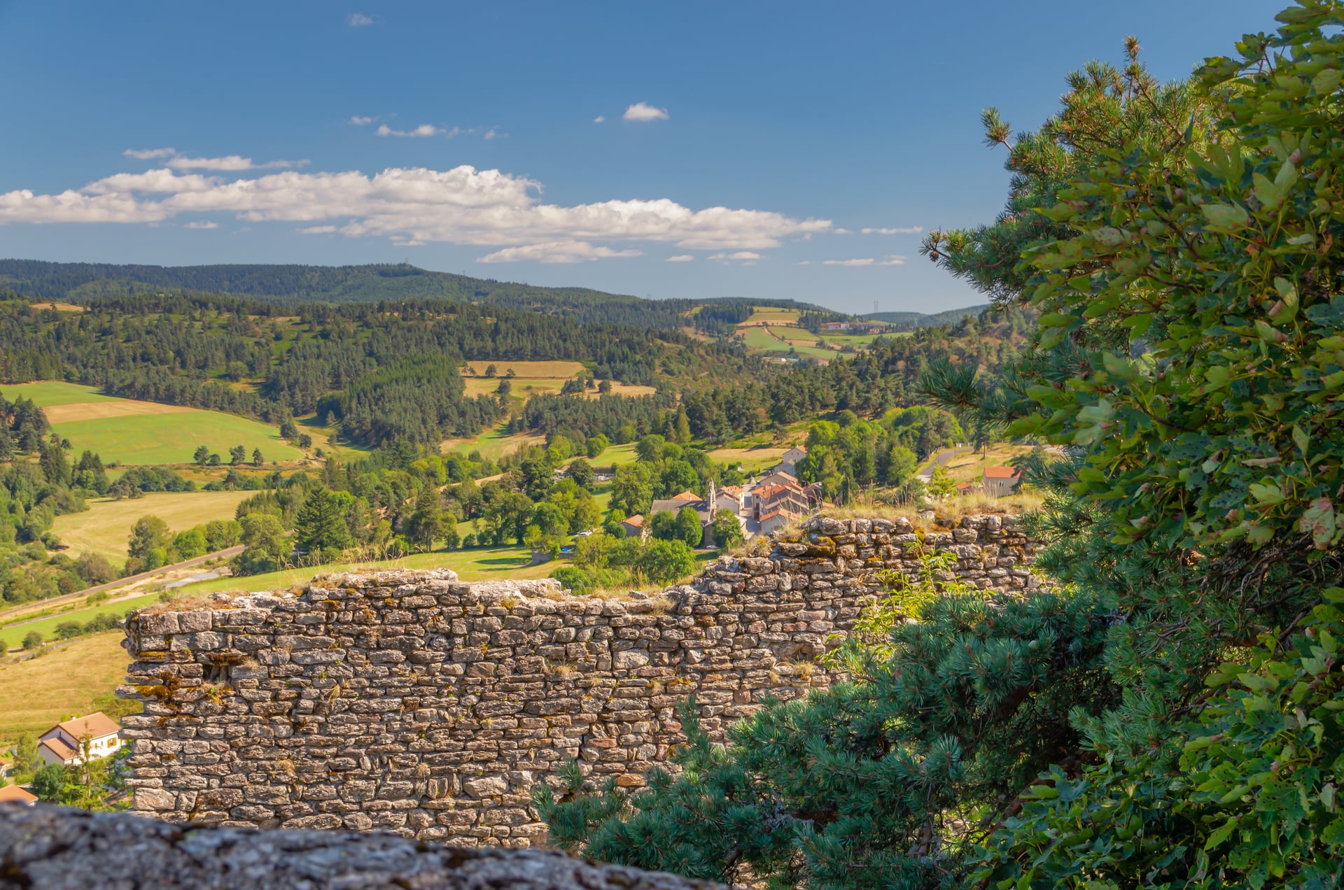
What it offers instead is rarer: long stretches with nobody on them, rolling ground that rewards sustained effort, and a story running underneath every stage. As multi day hiking goes it is unusually sociable, because you sleep in villages rather than huts.
If you are still choosing a region, our guide to hiking in France covers all six of the country's big routes. Grades here follow our hiking difficulty guide, and this one is graded on stamina rather than on skill.
The GR70 Route in Four Sections
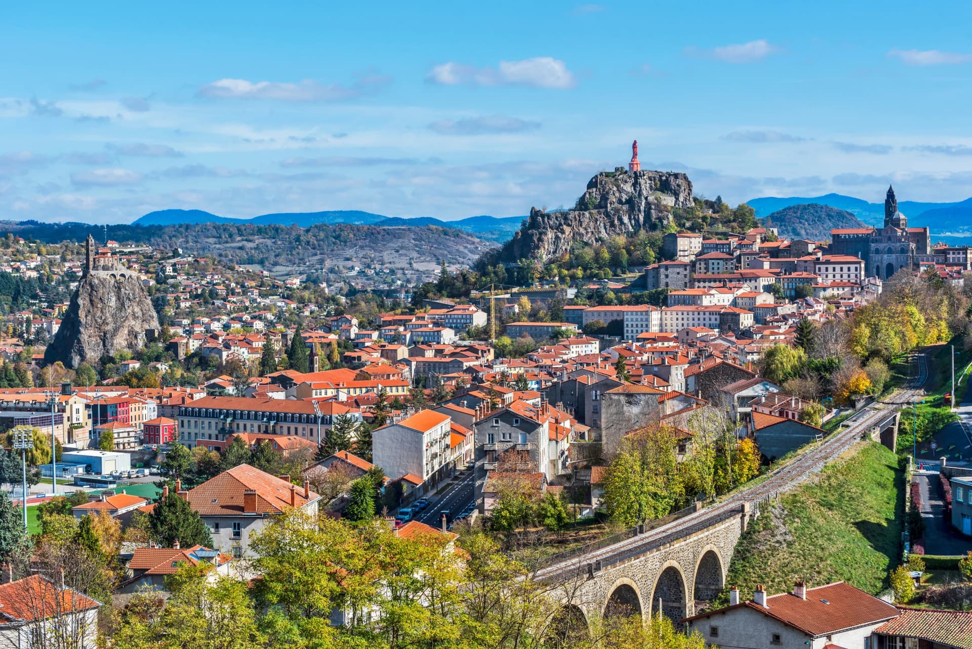
The trail runs south from Le Puy-en-Velay to Saint-Jean-du-Gard, with a possible extension to Alès. Most walkers start in Le Puy and spend a day on the town's volcanic landscape, the cathedral and the Saint-Michel d'Aiguilhe chapel before joining the route proper at Le Monastier-sur-Gazeille.
Le Monastier is where Stevenson actually set out, and it is where the GR70 officially begins. Starting from Le Puy adds a day and a half of walking, which almost everyone now does, because the town is worth the detour and the transport connections are better there. It also gives you a gentle first day rather than a cold start onto the plateau.
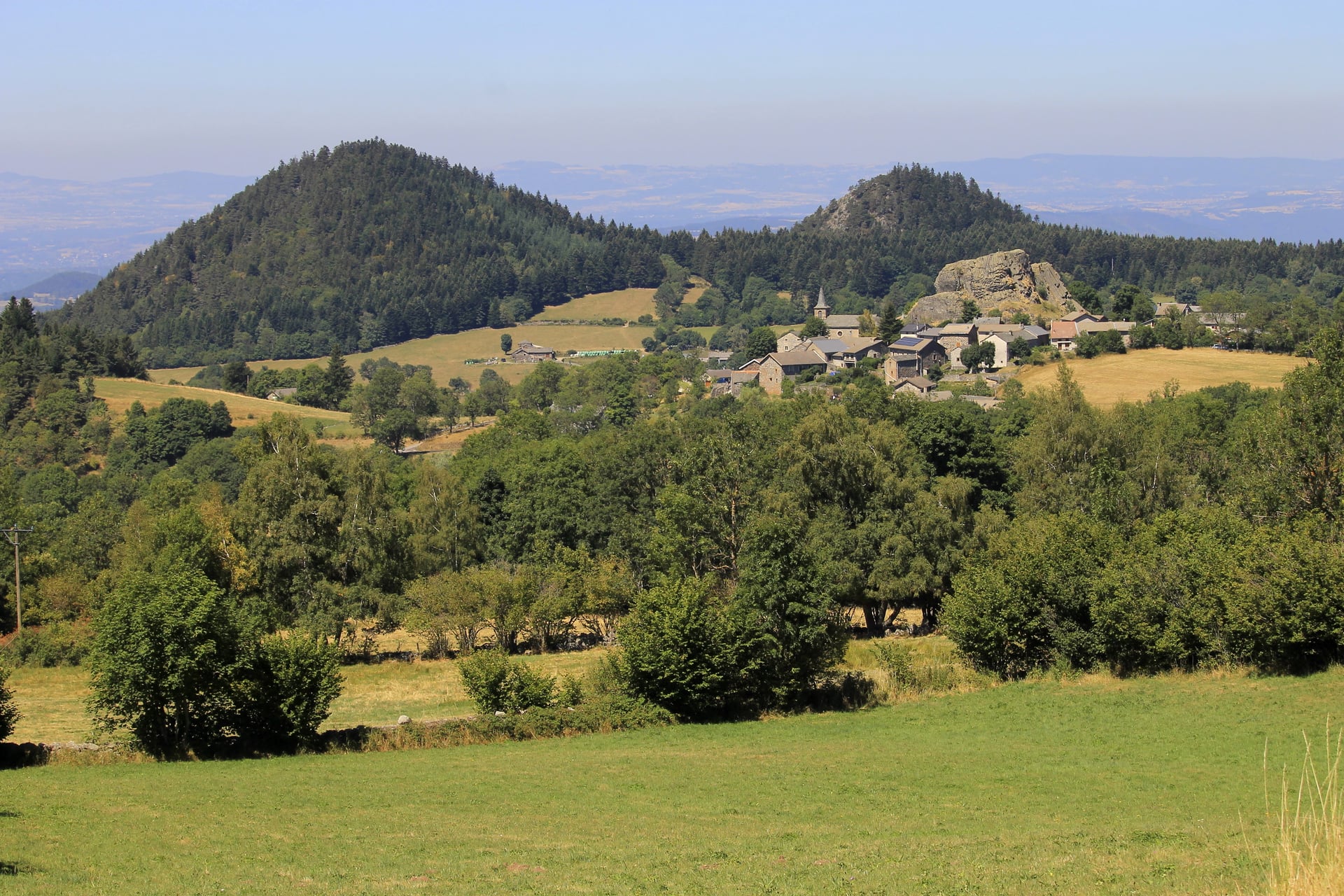
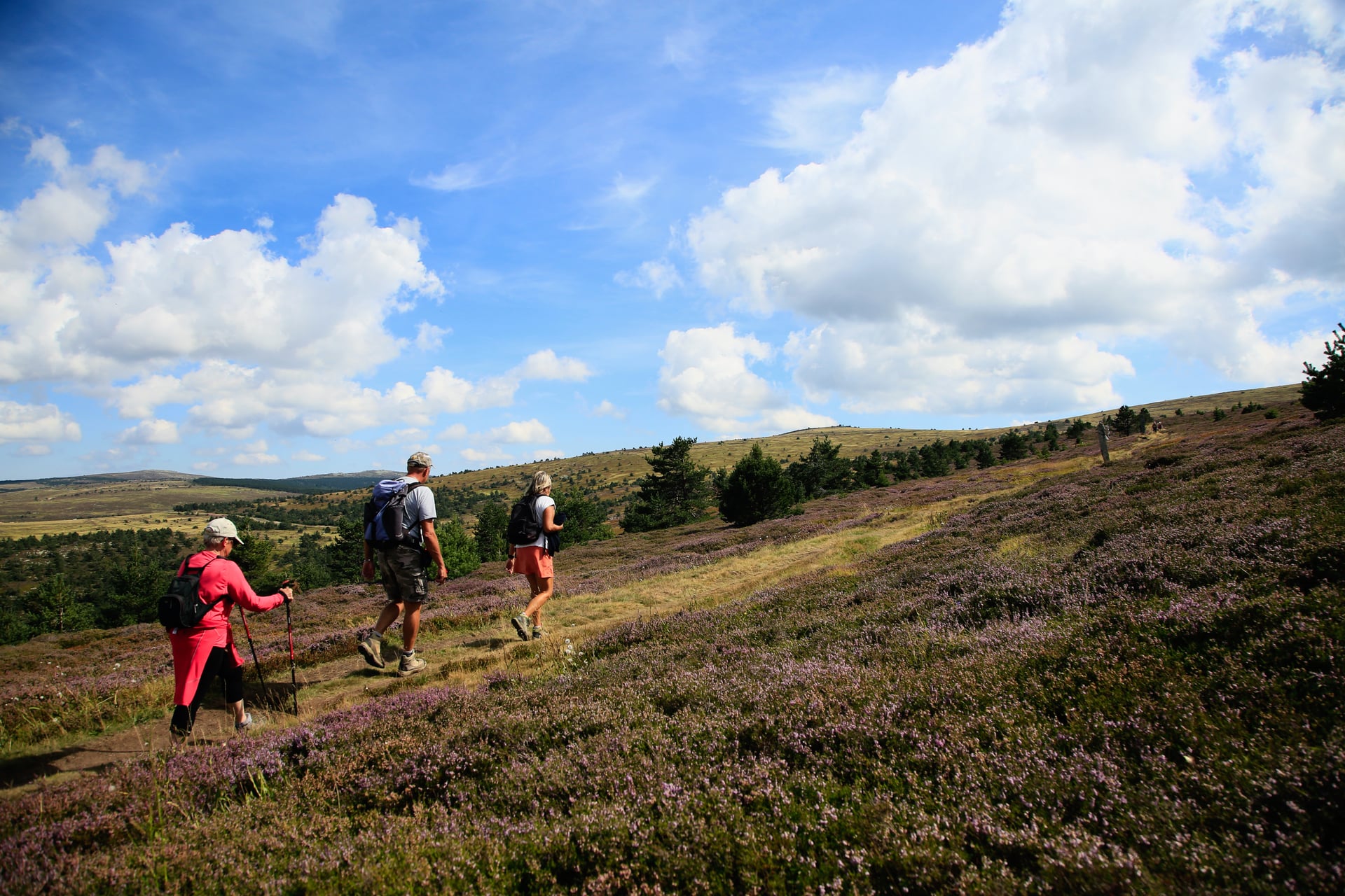
The ground changes character four times over the route. The first section, Le Puy to Langogne, crosses the volcanic highlands of the Haute-Loire: open moorland, old lava flows and the occasional medieval village standing up out of the plateau.
It is exposed country and a little austere, particularly early in the season before the broom and the gorse come into flower. The wind has nothing to break it up there, which is the first thing walkers notice and the last thing they expect from central France. Cévennes hiking has a reputation for shade and chestnuts, and none of that arrives for another week.
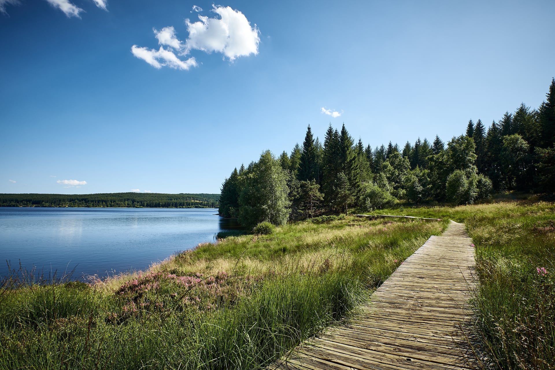
From Langogne south to La Bastide-Puylaurent the route follows the upper Allier through pine forest and peat bog, with the Margeride hills off to the east. This middle stretch is quieter and far more enclosed than the opening days.
It is also the emptiest part of the trail. You can walk for hours alone, which is either the whole point of the GR70 or a long way from the nearest coffee, depending on the kind of walker you are. The Margeride is where people either settle into the route or start counting days.
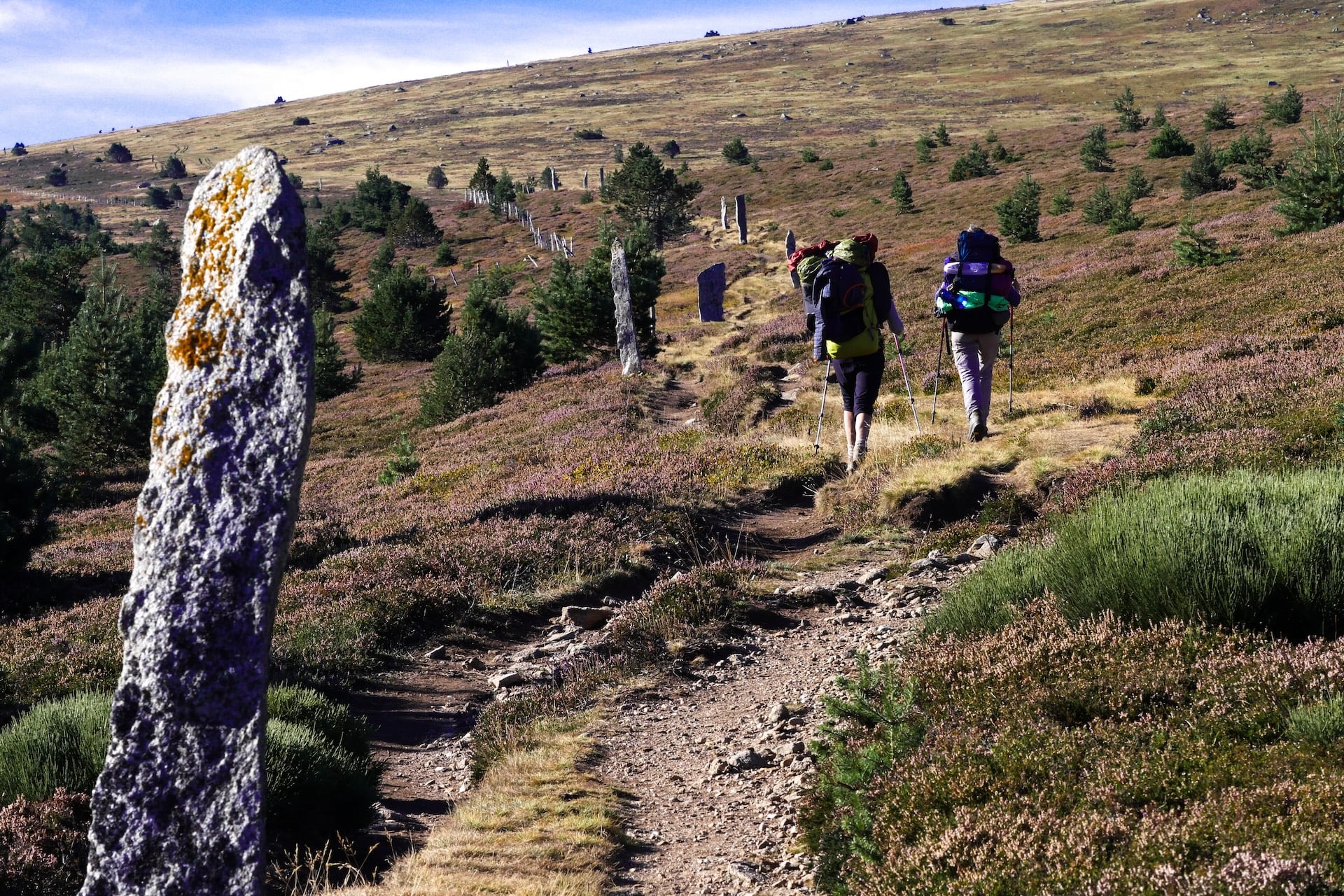
Then comes the crossing that defines the route. Mont Lozère is the high point at 1,699 metres at the Finiels summit, and the stage from Le Bleymard to Pont-de-Montvert climbs through open moor scattered with granite megaliths before breaking onto the summit plateau.
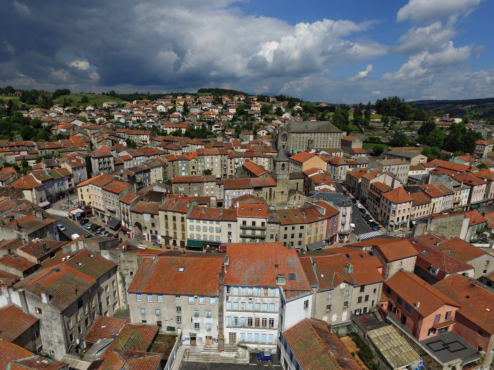
The descent off the far side is the memorable part. It drops more than 800 metres into the Tarn valley and lands you in Pont-de-Montvert, which is one of the better arrivals on any French long-distance path. The village sits where three valleys meet, and you can see the whole day's work behind you from the bridge.
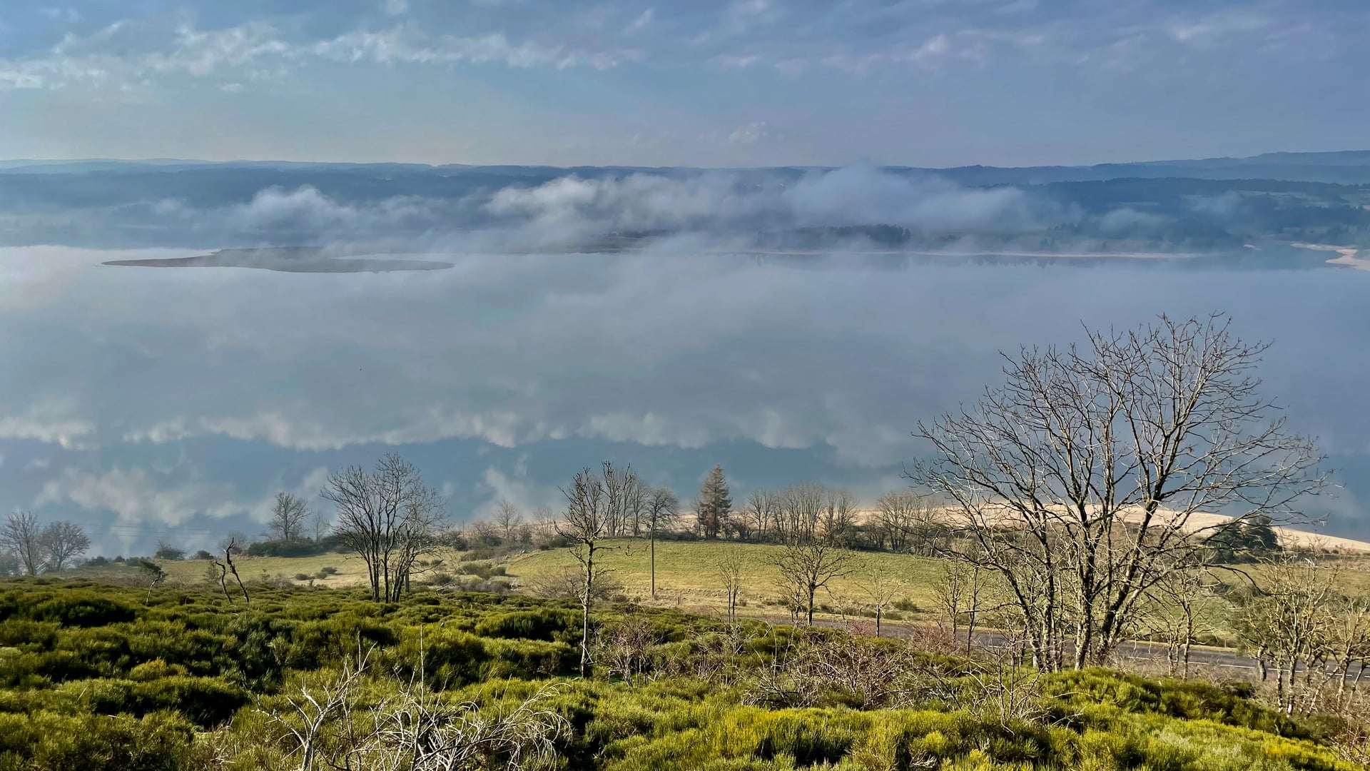
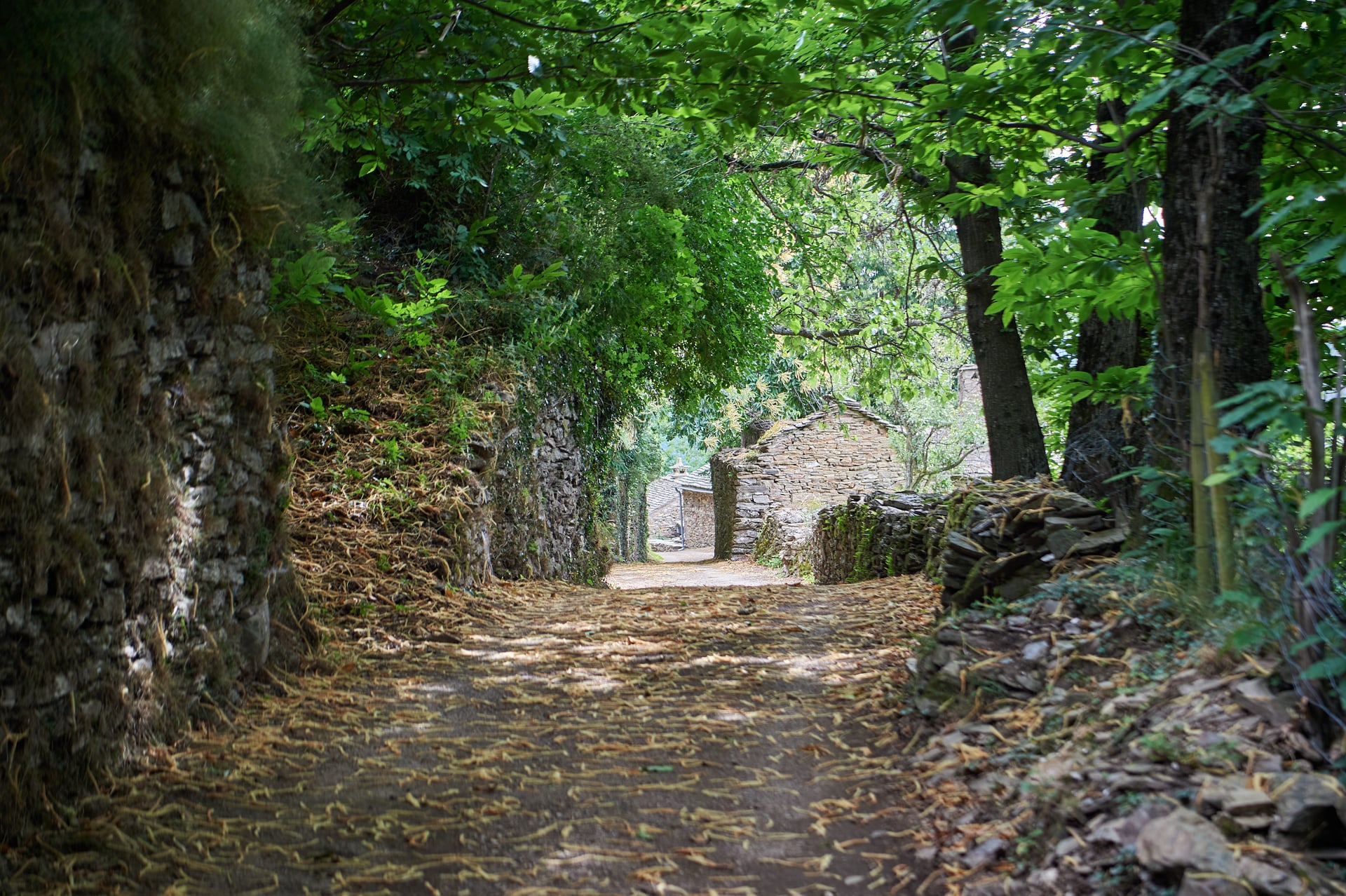
The last section through the Cévennes National Park is the most varied stretch of all. Chestnut forest replaces moorland, the villages turn Mediterranean, and the paths narrow into old mule tracks running between dry-stone walls.
The air changes with them. By Saint-Jean-du-Gard you are breathing something warmer and more fragrant than anything on the plateau you left a week earlier, and the trail has moved you south without announcing it.
Stevenson Trail Stage by Stage
The itinerary below is our own, and it is worth saying where the numbers come from. The distances and daily ascents are the ones we walk, and the day numbering follows the tour: Day 1 is the arrival in Le Puy and Day 14 the departure from Saint-Jean-du-Gard, which leaves twelve walking stages in between.
Independent walkers move these splits around constantly, based on fitness, weather and what beds are free. Daily distances run from 12 kilometres to 28.5, and the ascent is concentrated in the middle and the final third rather than spread evenly.
Day 2, Le Puy to Le Monastier-sur-Gazeille: 19.8 km, 609 m of ascent, climbing out of Le Puy across the Velay plateau to the town where Stevenson began
Day 3, Le Monastier to Le Bouchet-Saint-Nicolas: 23.7 km, 780 m, the biggest climb of the first half, across the plateau above the Gazeille valley
Day 4, Le Bouchet to Langogne: 28.5 km, 390 m, the longest stage on the route, descending the volcanic plateau to the Allier
Day 5, Langogne to Cheylard-l'Évêque: 16 km, 400 m, a short sheltered day through the Margeride oak and beech
Day 6, Cheylard-l'Évêque to La Bastide-Puylaurent: 19 km, 400 m, pine forest and high moor along the upper Allier
Day 7, La Bastide to Chasseradès: 12 km, 362 m, the shortest day, on old mule tracks through wooded glens
Day 8, Chasseradès to Le Bleymard: 17 km, 467 m, across the northern slopes of Mont Lozère with the Cévennes ridge in view
Day 9, Le Bleymard to Pont-de-Montvert: 20 km, 651 m up and 837 m down, over the Finiels summit and steeply into the Tarn valley
Day 10, Pont-de-Montvert to Florac: 25 km, 1,203 m, the hardest stage by ascent, out through gorges and down the Tarn
Day 11, Florac to Cassagnas: 19 km, 309 m, into the national park proper and up onto the Cévennes watershed
Day 12, Cassagnas to Saint-Étienne-Vallée-Française: 22 km, 531 m, a long descent through chestnut forest towards the Gard
Day 13, Saint-Étienne to Saint-Jean-du-Gard: 13 km, 591 m, a short last stage down the Gardon through olive groves and terraces
Those twelve stages come to about 6,700 metres of ascent across roughly 235 kilometres of walking. Published totals for the GR70 vary between about 220 and 276 kilometres depending where you start and stop, so compare the endpoints rather than the headline number when you are looking at operators.
Two of the stops deserve a night rather than a bed. Langogne is the biggest town on the first half, with shops and a cash machine, and it is the right place to resupply before the emptier middle section. Florac sits at the gate of the national park, has the park's own visitor centre, and is the obvious place for a rest day if your schedule has one in it.
How Hard Is the GR70
The GR70 is a harder route than it looks, and it gets underestimated because it has no altitude. The technical demand is modest, with no scrambling, no fixed ropes and nothing exposed, so the difficulty is all accumulation rather than skill.
Twelve consecutive walking days at 12 to 28.5 kilometres, with about 6,700 metres of climbing in total, asks for a real base of fitness. Our own tour is graded fitness 5 out of 5 against technical 3 out of 5, and that gap between the two numbers is the whole story of this trail.
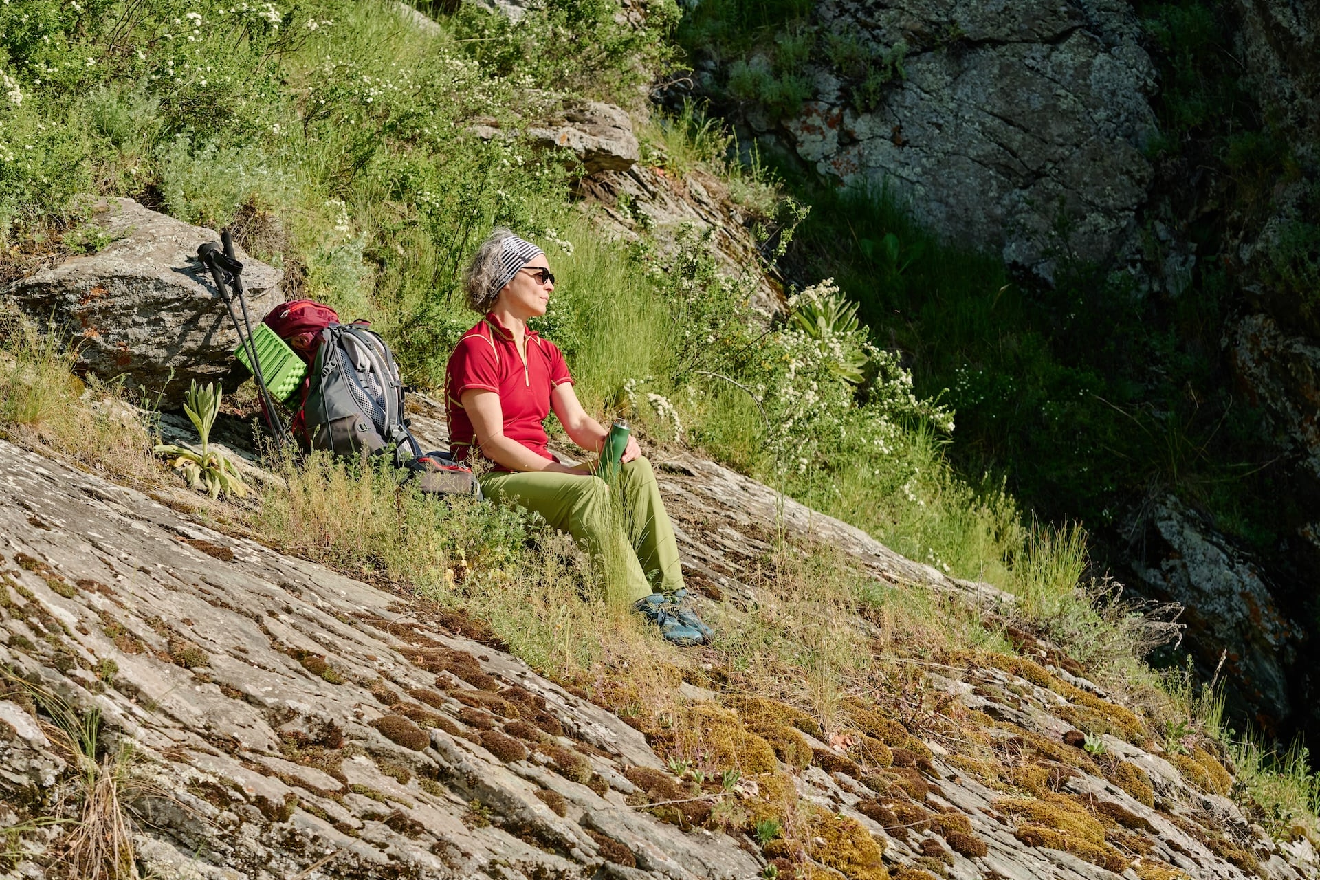
Underfoot it is kind. Wide tracks, old mule routes and maintained forest paths, with none of the boulder work or slab crossing that makes the GR20 a different sport. Two stages still demand respect, and awkwardly they arrive back to back.
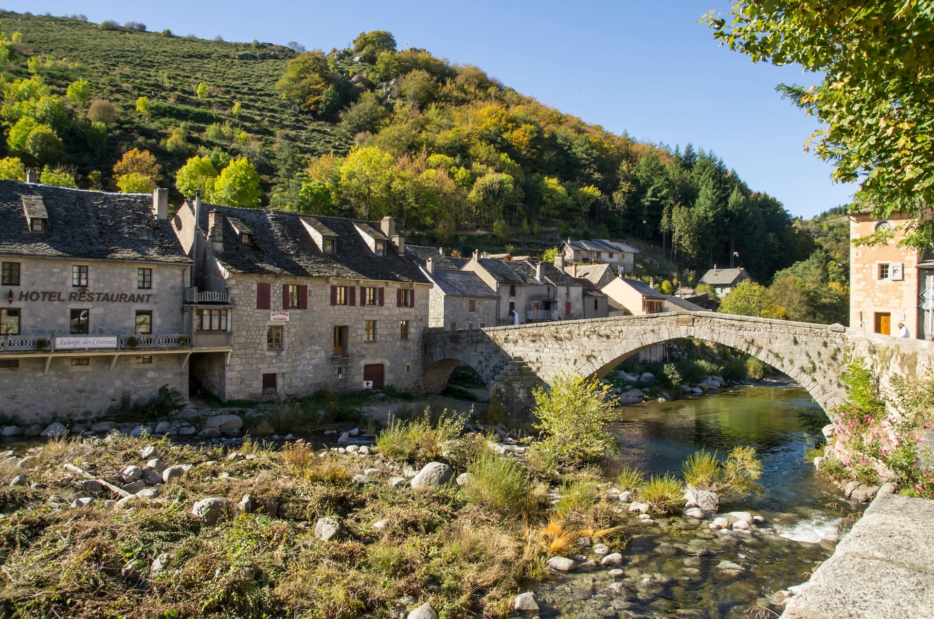
The Mont Lozère crossing on day nine is fully exposed above the treeline, weather-sensitive, and it finishes with an 837 metre descent on steep and often loose ground. The next day, Pont-de-Montvert to Florac, is the hardest by raw ascent at 1,203 metres and one of the longest in the second half.
Anyone who has walked a longer Camino variant or a similar inn-to-inn route in moderate terrain will find this a step up rather than a different sport. Build to regular 20 kilometre days over varied ground in the months before you fly, and include some back-to-back days so the second morning is not a surprise.
Pay particular attention to descending. Downhill technique is what saves knees here, because the Lozère drop and the day-twelve descent into the Gardon valley both give away close to a thousand metres, and that is where undertrained walkers come unstuck.
Best Time to Hike the GR70
May and early June are excellent. The moorland is in flower, beds are available without months of notice, the days are long and the light is exceptional. Mornings are cold at altitude and spring storms are a real risk, but the trail is quiet.
Late June through August is peak season. It is the busiest stretch, prices are highest, and the lower Cévennes can reach 35 degrees, which changes the walking rather than just making it warm. The Mont Lozère plateau stays cooler than the valleys throughout.
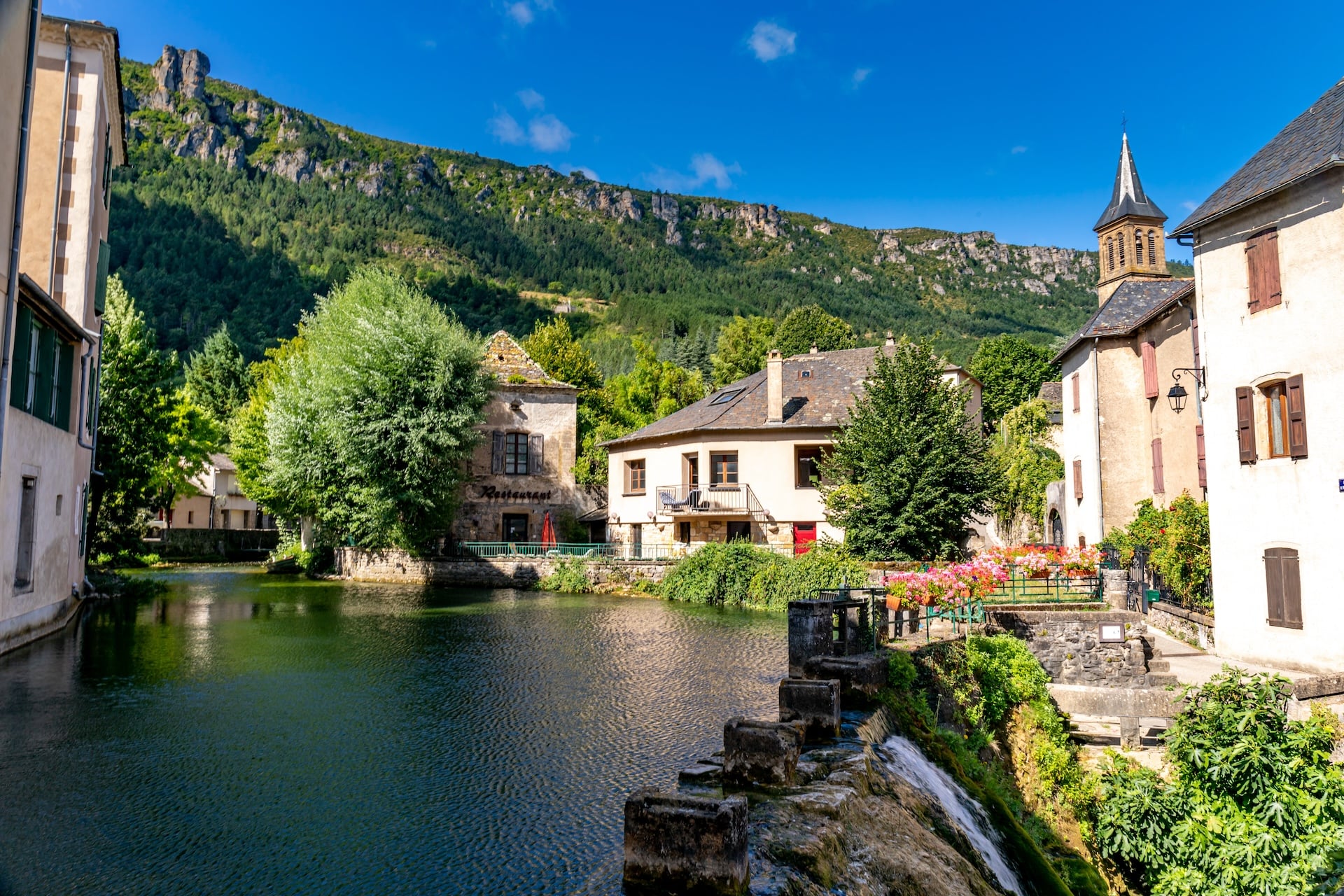
Heat is manageable if you restructure the day. Start early, climb before eleven, and plan to be at your bed by early afternoon rather than pushing on through the worst of it. The valley stages are the ones that bake, and the shade only really arrives once you are into the chestnuts.
September is arguably the best month of the year here. The crowds have gone, the chestnut forests are starting to turn, the temperatures are moderate, and whatever beds are left are markedly easier to get than they are in July.
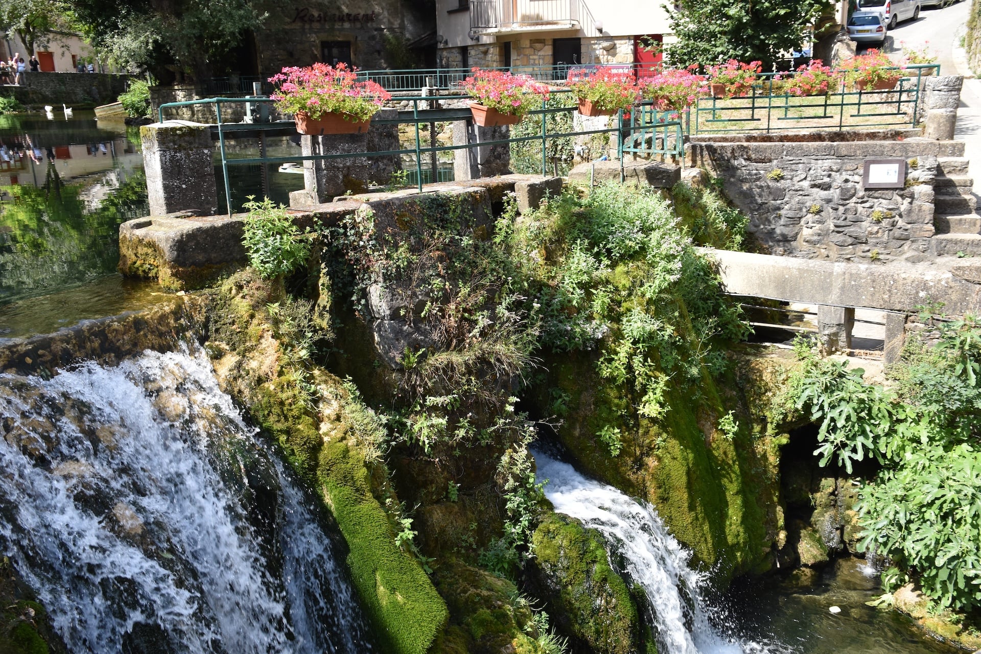
October works but is marginal. Some gîtes and chambres d'hôtes shut from the middle of the month and the high stages can be cold and wet, though the Cévennes in autumn colour is worth the gamble if you can be flexible.
Avoid November to April. Accommodation closes, waymarking is hard to follow under snow on the plateau, and Mont Lozère in bad conditions is hostile ground rather than merely unpleasant.
GR70 Gîtes and Accommodation
For a route this remote the GR70 is unusually well served. The options are gîtes d'étape, which are shared dormitory places aimed at walkers, chambres d'hôtes with private rooms, small hotels and campsites, and the quality range across them is wide.
A gîte in Chasseradès is a completely different proposition from a chambre d'hôte in Florac. Neither is worse, but knowing which you have booked matters more on this trail than on a route where every night is a standardised mountain hut.

Booking ahead is not optional from May to September. The route has grown steadily more popular, and the better places at the key stops fill a long way out, particularly Le Monastier, La Bastide-Puylaurent, Pont-de-Montvert and Saint-Jean-du-Gard.
The mistake people make is leaving it until a few weeks before they fly. For a July or August start, the best-reviewed places can be gone by March, which is earlier than most walkers expect for a route with no huts to compete over.
The simplest approach is to book the whole itinerary before you travel, or to have an operator do it for you. That also gets the luggage moved between stops, which over twelve consecutive walking days makes more difference than any single piece of kit.
What to Pack for the GR70
Luggage transfer changes this packing list more than the terrain does. On an inn-to-inn walk you carry a day pack rather than a full load, so the question is what you need between breakfast and your bed rather than what you can live off for a fortnight. The heavy decisions are footwear and water, and everything else fits around them.
Trail shoes are enough here. The GR70 runs on forest track, old mule paths and open moorland, with none of the rock that makes a stiff boot worth carrying, so a supportive trail shoe with a firm sole handles the whole route. The one argument for something heavier is ankle support on the long descents, and that is a personal call rather than something the trail demands.
Poles are the item people regret leaving at home. The route gives away 837 metres coming off Mont Lozère, another 1,567 on the long day down into Florac and 950 more on the drop towards the Gard, so the descents take more out of you than the climbs. Anyone with knees worth protecting should arrive with a pair rather than look for them in Florac.
Water needs carrying rather than finding. The trail association tells walkers to keep a litre and a half on them at all times, there is no official network of marked water points along the GR70, and Lozère runs drought restrictions through most summers. Fill at your accommodation before you leave in the morning and treat the open crossing of the Sommet de Finiels as a stretch with nothing on it.
Then the weather layer and the sun, which are doing different jobs at each end of the trail. Mont Lozère is fully exposed above the treeline and spring storms build fast on the plateau, so a shell that holds sustained rain earns its place even in June. In the lower Cévennes the same pack wants a sun hat and high-factor cream instead, because the chestnut shade only arrives in the last three days.
Two things that are not clothing. Parts of the route carry no mobile signal at all, which the trail association prints as a warning, so download your maps, GPX track and accommodation list before you start rather than trusting a phone in the Margeride. And bring cash: there is no cash machine between Langogne and Le Bleymard, and card acceptance at the smaller gîtes is a question to ask when you book rather than an assumption.
Getting to the Stevenson Trail
The GR70 is point to point, so you arrive at one end and leave from the other, and the transport needs thinking about before the walking does. Most people fly into Lyon, two and a half to three hours from Le Puy-en-Velay by train, changing at Saint-Étienne.
The alternative is Montpellier, roughly two and a half hours from Saint-Jean-du-Gard by bus and train, which suits anyone wanting to fly home from the finish. From Paris, take a TGV from Gare de Lyon to Saint-Étienne Châteaucreux and change onto the TER for Le Puy-en-Velay, which runs four and a half to six hours in total.
At the finish, Saint-Jean-du-Gard has a bus to Nîmes in about an hour and a half, and Nîmes has trains to Paris, Lyon, Montpellier and Marseille. Build in a half-day buffer before any onward flight.
That buffer is a real recommendation rather than caution for its own sake. The connections out of Saint-Jean-du-Gard work, but they are not reliably punctual, and it is a poor place to be watching a clock after twelve days of walking. Losing a morning here is a nuisance, and losing a flight is a different kind of problem.
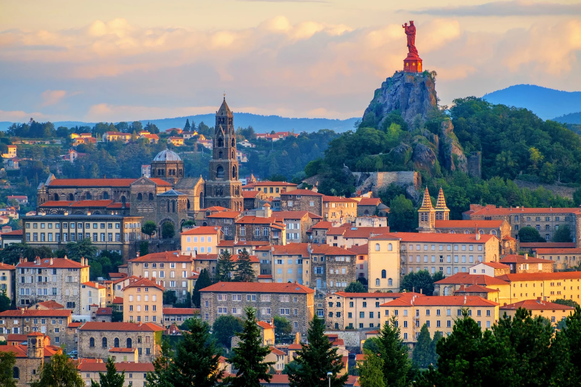
Arrive at Le Puy-en-Velay the day before you start. The old town sits between two volcanic pinnacles, one topped by a chapel and the other by a statue, and it is one of the strangest town centres in France, which is a better way to begin than stepping off a train onto the trail.
GR70 Maps and Waymarking
The GR70 carries the standard red and white GR blazes the whole way, maintained by the Fédération Française de la Randonnée Pédestre, which also publishes the official topo-guide for the route. On the ground the waymarking is good and route-finding is rarely the problem.
The exception is the Mont Lozère plateau. Above the treeline in cloud there is little to follow and few landmarks to check yourself against, so carry a downloaded GPX track as backup rather than relying on paint on rock.
The Cévennes National Park has its own rules inside the protected zone, mainly around camping and fires, and the park's own site is where to check them before you go rather than after you have pitched.
Book self-guided and the navigation arrives handled: route notes, a digital guidebook, GPX files for every stage and a support line. On a waymarked route through inhabited valleys that is reassurance more than necessity, which is exactly how it should feel.
Food and Water on the GR70
The GR70 is walked through inhabited country, which makes eating easier here than on a mountain route and sets a different trap. Most nights end in a village with somewhere to eat, but the villages are small and several of them have no shop at all, so the planning is about knowing which stops can feed you and which cannot.
Langogne, Florac and Le Pont-de-Montvert carry everything, with Le Monastier-sur-Gazeille, Le Bleymard and Saint-Jean-du-Gard close behind. Chasseradès, La Bastide-Puylaurent, Le Bouchet-Saint-Nicolas and Saint-Étienne-Vallée-Française each keep a village shop that covers a resupply without covering a craving. Cheylard-l'Évêque and Cassagnas have neither grocery nor bakery, and Cassagnas is served only by a bread depot at the old railway station.
The gap worth planning around is Langogne to La Bastide-Puylaurent. That is roughly 43 kilometres and two full walking days with no grocery in between, taking in Cheylard-l'Évêque and Luc, and the only supply point on it is the Trappist abbey at Notre-Dame-des-Neiges, which sells honey and abbey produce rather than food for a pack. Buy at Langogne, and buy for two days.
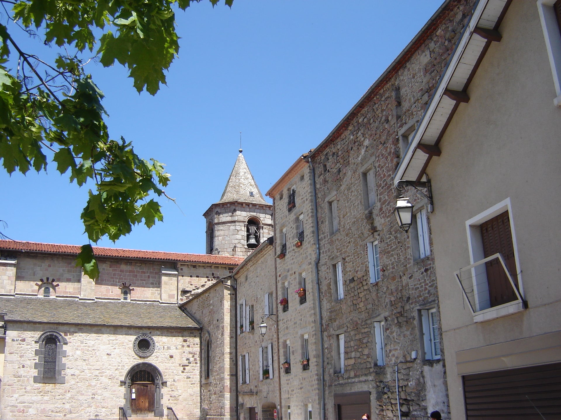
Half board is the normal arrangement along the whole trail, and it is more than a convenience. A table d'hôtes may serve dinner only to walkers sleeping there, so in a village with no restaurant, arriving without a booked evening meal can leave you with nothing at all. Book the bed and the dinner together and treat that as the rule rather than the cautious option.
Ask for the next day's picnic when you book the night. The panier repas is a standard item along this route rather than a favour, ordered the evening before, and it is what covers the stages with no shop on them. Worth asking for at the same time is an early breakfast, because some hosts will serve before eight, and that is the difference between crossing Mont Lozère in the morning and crossing it in the afternoon weather.
Rural opening hours catch more walkers than closures do. Village shops here commonly shut from half past twelve until four, which is close to when you arrive, and the smallest of them keep to a season rather than a year. Where a weekly market falls it is worth building the day around it: Le Puy on Saturday, Florac on Thursday and Saint-Jean-du-Gard on Tuesday.
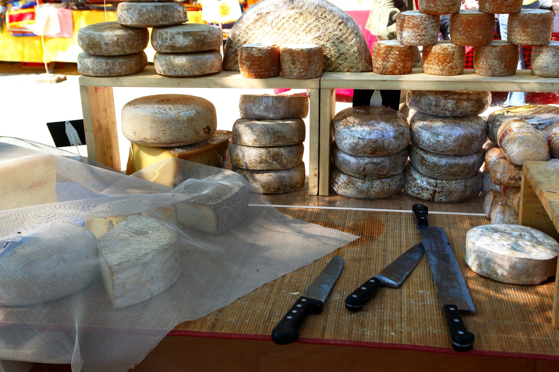
What you eat is one of the better arguments for walking this way. The first days cross the country of the green Puy lentil, the first vegetable in France to win a protected designation, and the southern half runs through Pélardon goat cheese, Cévennes chestnuts and Cévennes honey, each protected in its own right. The chestnut here was the bread tree, dried in the stone clèdes whose ruins still stand in the woods above the valleys.
Permits, Donkeys and History
No permit is needed to walk the GR70. It is a public footpath the whole way, and the only regulated ground is inside the Cévennes National Park, where camping and fires are restricted rather than the walking.
You can still do it with a donkey. Several outfits in Le Monastier-sur-Gazeille hire them out with panniers, and it remains a popular way to walk the route with children. The donkey carries the bags and sets a pace slower than yours.
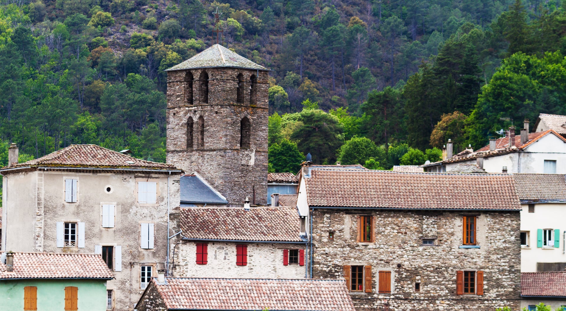
The trail is part of a Council of Europe Cultural Route, the Stevenson network certified in 2015, and it is worth reading the book before you go rather than after. Stevenson's own walk took twelve days and about 220 kilometres from Le Monastier to Saint-Jean-du-Gard, and Modestine was bought at the start and sold at the finish.
The Cévennes has a harder history than the scenery suggests. This was Camisard country, where Protestant rebels fought a guerrilla war against the crown in the early 1700s, and the villages remember it in a way that makes the emptiness of the hills read differently.
Frequently Asked Questions
Planning Your GR70 Hike
The Stevenson Trail is the kind of route that stays with you rather than the kind you tick off. What you take home is less a list of stages than the long climb onto Mont Lozère, the drop into Pont-de-Montvert and the smell of woodsmoke in Florac on an autumn evening.
It is also a straightforward trip to organise badly, because it is point to point, the beds book out early and the two hard days land together. Our own itinerary handles the beds and the bag transfer over the twelve stages. If you would like help with the dates or the logistics at either end, get in touch and we will work through it with you.

About this author
Ajda is our travel advisor, raised in a village surrounded by mountain peaks. Hiking entered her life early on and remains her favorite way to reconnect with nature.














































.jpg&w=828&q=75)
