Via Dinarica: The Ultimate Hikers’ Guide
Seven countries, one waymarked spine down the Dinaric Alps — the Via Dinarica's White, Blue, and Green trails explained, plus all you need to plan the hike.

Suzana
Published September 20, 2026
Edited September 20, 2026
9 min read
Quick links
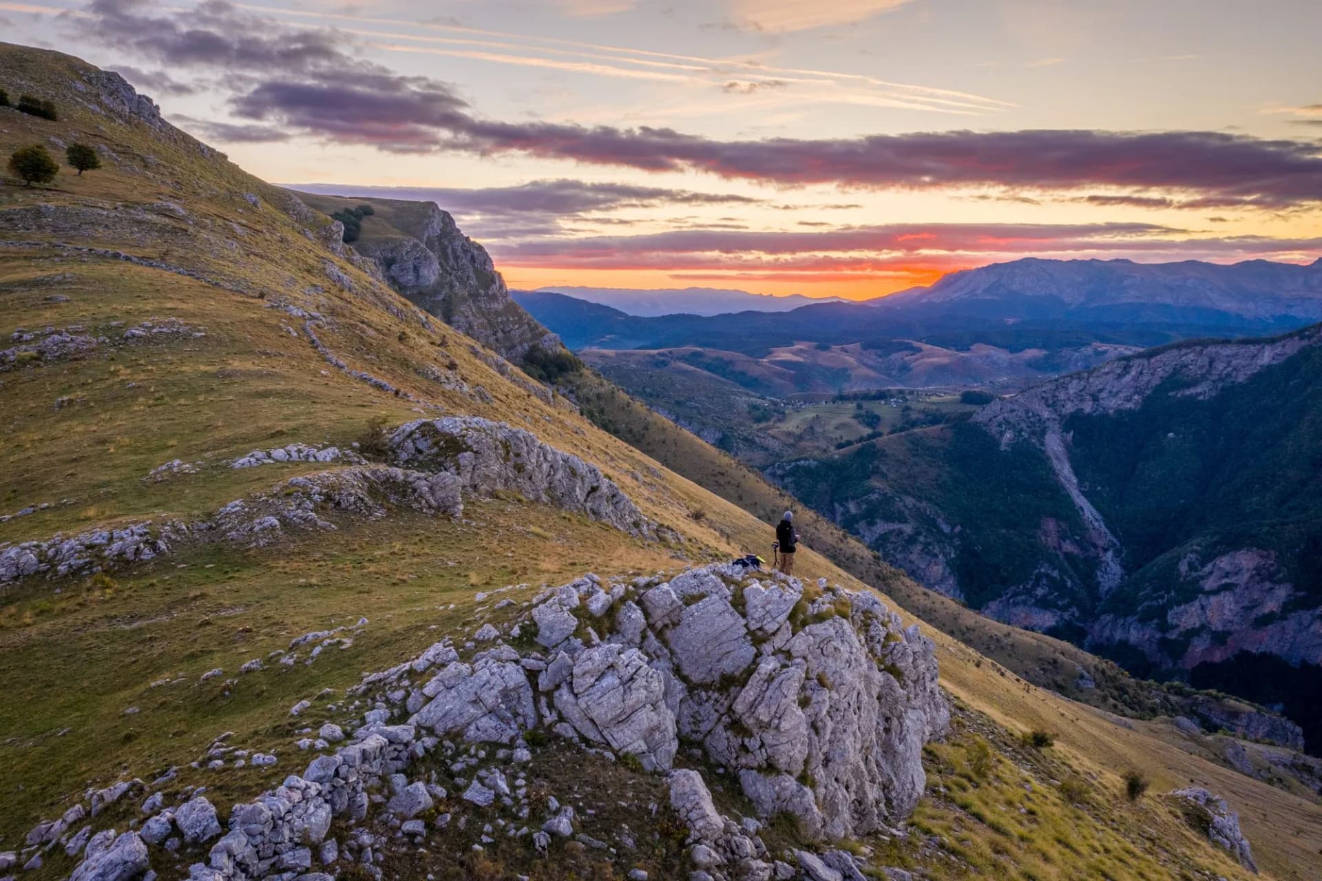
One of Europe's great long-distance trails barely existed a generation ago. The Via Dinarica's main trail was stitched together and formally launched in 2010, threading together shepherd paths, old military tracks, and forgotten mountain routes into a single corridor running the length of the Western Balkans. This is exactly why it still feels like a frontier: no queues or cable cars, and long stretches where the only company is a shepherd and his flock.
Stretching roughly 2,000 kilometers from Slovenia to Albania, the Via Dinarica isn't one path but three — a White, a Blue, and a Green trail, each following a different grain of the same mountain range. For most people “Via Dinarica” means the White Trail, but the full picture is worth knowing before you plan.
Here, we do our best to cover what the three trails are, the best sections country by country, how long and how hard the hike really is, and how to tackle it — whether you've got two months or two weeks.
Via Dinarica at a Glance
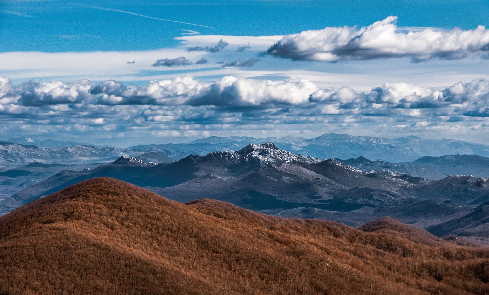
Overall: ~2,000 km of routes down the Dinaric Alps, Slovenia to North Macedonia · three colour-coded trails · launched around 2010 with support from UNDP, USAID, and regional partners.
White Trail — the main hiking route
Length: 1,261 km / 783 miles
Countries: Slovenia, Croatia, Bosnia and Herzegovina, Montenegro, Kosovo, Albania
Full thru-hike: roughly 45–60 days
High point: Maja Jezercë, 2,694 m (Prokletije, Albania)
Character: remote and non-technical, but long, wild, and lightly waymarked
Blue Trail — the coastal line (still under development)
Region: the Adriatic coast and its karst hinterland
Character: lower, rockier peaks, sea views, and a longer walking season than the high route
Status: not yet fully mapped or waymarked end to end; published distances vary by source
Green Trail — the forest line (still under development)
Region: the lower, conifer-forested inland ranges
Character: gentler terrain, developed mainly as a mountain-biking network
Status: a growing, still-unfinished network of routes rather than one set, waymarked line
Which of the Three Trails?
The colours aren't difficulty grades but parallel corridors, and when people say “the Via Dinarica” they almost always mean the White Trail — the high mountain route detailed above. It's also the only one that's fully established: the coastal Blue Trail and forested Green Trail are still under development, not yet mapped or waymarked end to end, so treat them as works in progress rather than finished routes. The rest of this guide follows the White Trail.
Why Hike the Via Dinarica?
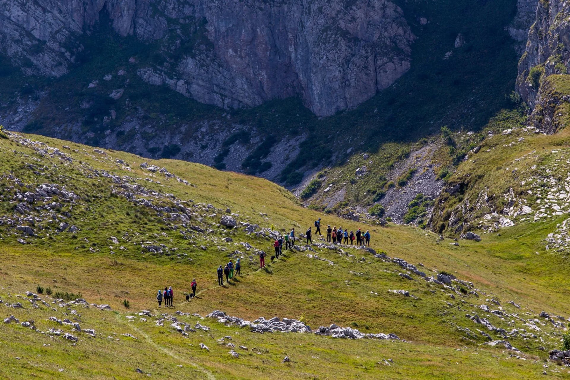
The appeal isn't a single famous summit — it's the sheer sweep of a trail that carries you through several Balkan countries, four alphabets, and a mosaic of cultures without ever leaving the mountains.
Because it's so new and so little-known, it's genuinely uncrowded in a way the Alps and the Camino haven't been for decades. You can walk for days meeting only shepherds, hut wardens, and the occasional fellow thru-hiker, and the sense of discovery is real rather than marketed.
It's also a trail of constant change. One week you're on bare limestone above 2,000 meters; the next you're crossing high summer pastures dotted with wooden shepherd huts, or descending into a valley where lunch is homemade cheese and a shot of rakija. Not every long-distance route packs this much variety — of landscape, language, and food — into a single continuous line.
The Best Sections, Country by Country
Almost nobody walks the whole thing in one go. The good news is the White Trail breaks cleanly into country-sized chunks, each a satisfying trip on its own. Here's what each stretch is known for.
The trail's northern start eases you in through Slovenia's karst country before hitting Croatia's Velebit — a long, dramatic limestone range that includes Paklenica National Park, with its gorges and big-wall scenery above the Adriatic. Well-marked and well-served, this is the trail at its most approachable.
Widely rated the most rewarding section, Bosnia's 334 km cross the Sutjeska, Zelengora, Prenj, and Čvrsnica massifs — a blend of high peaks, glacial lakes, and living highland culture that's hard to match. See our Bosnia hiking guide for the detail on this stretch.
Home to the trail's scenic climax: Durmitor National Park, a UNESCO-listed massif of black lakes and sharp peaks crowned by Bobotov Kuk (2,523 m), one of the highest points on the whole route. Montenegro packs the most vertical drama into the fewest days.
The wild finish runs through the Prokletije — the Accursed Mountains shared with the Peaks of the Balkans trail — and finishes in the Valbona valley beneath Maja Jezercë, the highest ground on the whole route. This is the most remote, least-developed country on the route, and for many the most adventurous.
Distance, Duration & Difficulty
Be honest with yourself about time and fitness before committing — the Via Dinarica is a serious undertaking.
The full White Trail is 45 stages and 1,261 km, with close to 50,000 meters of cumulative ascent — the height of Everest from sea level, five and a half times over.
It takes most thru-hikers 45–60 days, walking day after day with 800–1,200 m of ascent, on rough, rocky, and sometimes trackless ground. There's no technical climbing or scrambling on the main route, but the daily grind, the remoteness, and the navigation demands make it far harder than the mileage alone suggests.
You don't need mountaineering skills, but you do need real endurance, comfort with consecutive long mountain days, and solid self-sufficiency. If your experience is mostly day hikes and gentle terrain, start with a single country section — which is what most people do anyway.
When to Go
The high sections keep a short season, and it dictates the whole plan.
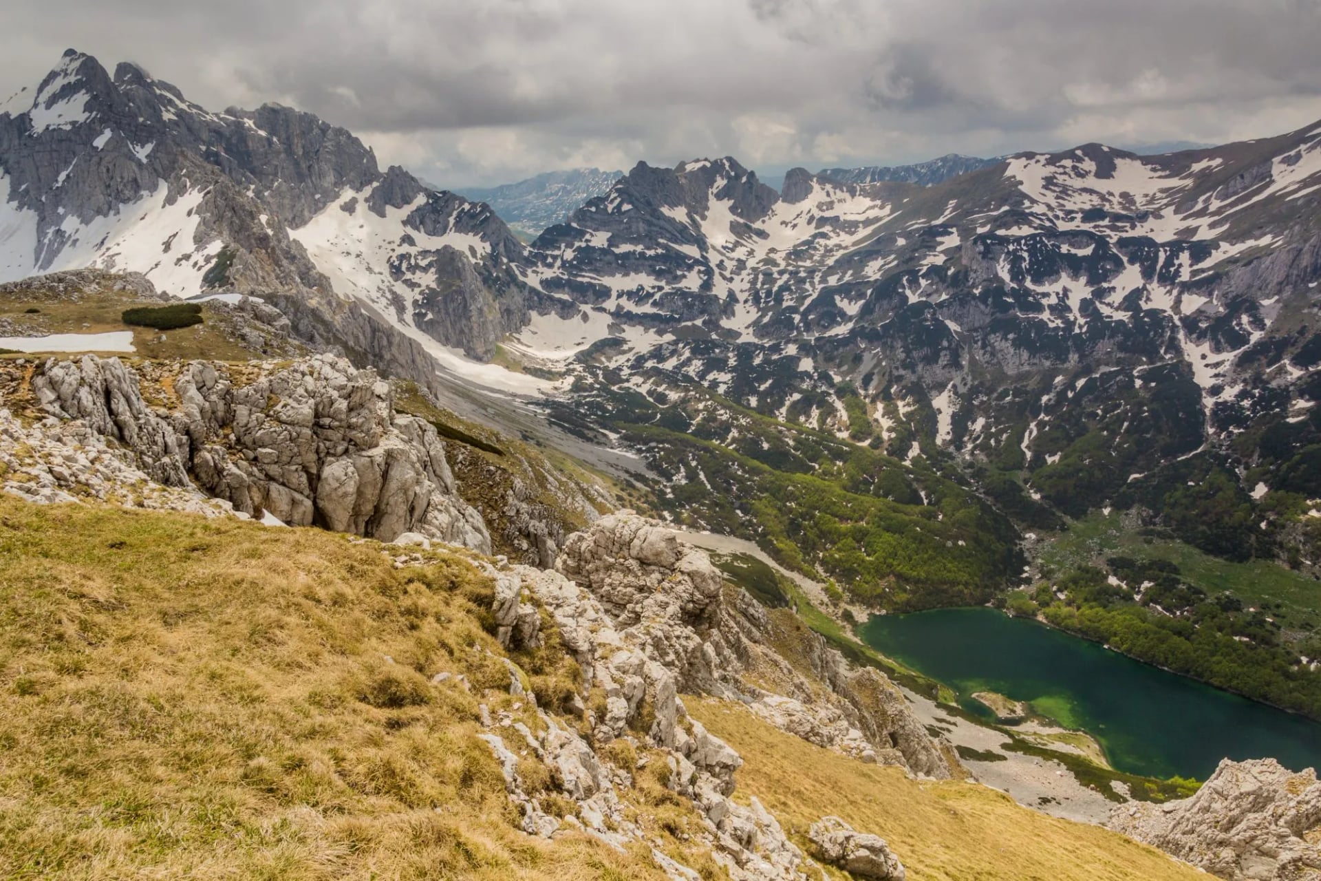
For the White Trail's high country, the window is roughly late June to late September, when the snow has cleared the passes and the mountain huts and shepherd settlements are staffed and open. July and August bring the most stable weather but also afternoon storms over the high ridges — start early and watch the sky. The lower, coastal Blue Trail has a much longer season and is walkable well into spring and autumn, when the high mountains are already under snow.
Accommodation & Resupply
One of the trail's quiet joys is that you rarely need to camp. The White Trail is supported by a chain of mountain huts, shepherd settlements, and village guesthouses, roughly a day apart on the main sections, and where they thin out, rural households take hikers in. Standards are simple and cheap, and meals — usually included — lean on hearty, home-cooked mountain food.
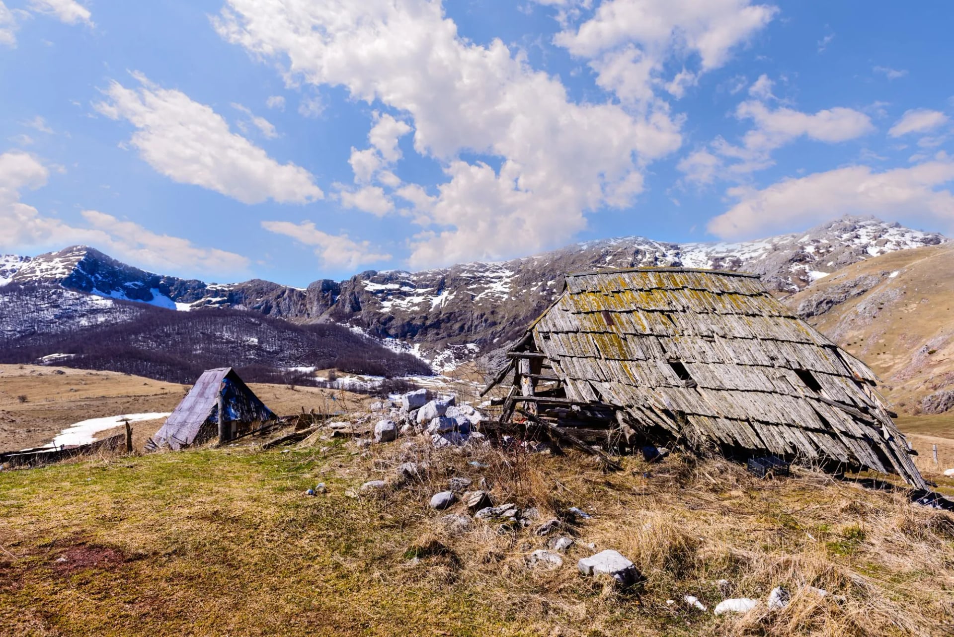
That said, this isn't the fully-oiled machine of the Alps. Some stages are long and services sparse, so resupply and water planning matter: carry enough food for gaps between villages, and don't assume every hut has space or a shop nearby. This is truer the further south you go.
Planning & Logistics: Borders, Cash & Navigation
A few things set the Via Dinarica apart from a single-country trek, and they're worth sorting early.
Border crossings
The White Trail crosses between as many as seven countries, mostly at official points — but the southern Prokletije section shared with the Peaks of the Balkans requires cross-border permits where you sleep in border zones across Albania, Montenegro, and Kosovo. Apply about four weeks ahead, and carry your passport with you on the trail, not in a bag back in town.
Cash and currencies
You'll pass through several currencies (euro in Slovenia, Croatia, Montenegro and Kosovo, convertible marks in Bosnia, and the lek in Albania), and much of the mountain economy is cash-only with no ATMs for days. Carry enough in small notes, and top up in every town.
Navigation
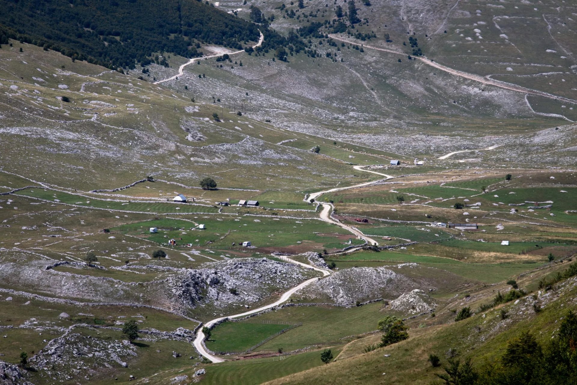
Waymarking is present — including dedicated Via Dinarica markers and the red-and-white Balkan blazes — but it's inconsistent and fades on high pasture and in forest. A downloaded GPS track, the official viadinarica.com route data, offline maps, and a power bank are essential, not optional. Don't rely on signs alone.
Safety on the Trail
The Via Dinarica is safe for prepared hikers, with the ordinary wild-mountain rules carrying extra weight because help is far away. Mountain rescue is limited and slow, phone signal is patchy, and weather turns fast — so carry warm and waterproof layers year-round, start early, and take insurance that covers mountain trekking and evacuation.
Two region-specific notes: in parts of Bosnia and Croatia, landmines from the 1990s still lie off-trail in a few marked areas, so never leave established paths there; and you'll meet livestock-guarding dogs on the pastures, best handled by giving the flock room and letting the shepherd call them off. Neither should deter you — both are easily managed by staying on the marked route.
The Whole Trail, or One Great Section?
Here's the practical truth: very few people have two months free to walk 1,261 km. Most hikers pick one country's section — and if you're choosing just one, Bosnia's is widely considered the most rewarding first taste of the Via Dinarica, combining the trail's best mix of high peaks, culture, and accessibility.
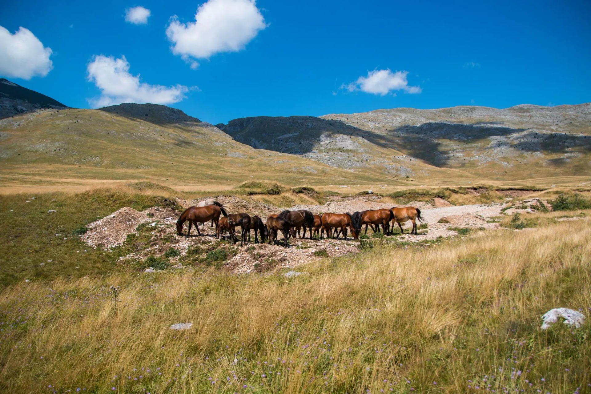
That's exactly the trip we've built. Our self-guided Via Dinarica: Highlights of Bosnia and Herzegovina covers the standout stretch without the logistics of stringing together the full route — accommodation, GPS navigation, and support all handled, so you just walk.
For how our trips run, see Self-Guided Tours Explained and the Hiking Difficulty Guide. Planning to link sections across borders? Browse our Croatia, Montenegro, Slovenia, and Albania hikes.

About this author
Suzana is our travel advisor and a hiker who believes the best trails aren't just about the summits. She loves spotting alpine plants, watching wildlife, and the laughs, chats, and snack breaks that make every trail worth walking.












































.jpg&w=828&q=75)





















