Hiking in Georgia: The Best Trails and Treks by Region
From the Greater Caucasus to Borjomi's forests and the Lagodekhi border — where to walk in the country of Georgia, and when each region opens.

Ajda
Published September 30, 2026
Edited September 30, 2026
12 min read
Don't want to read all this?
We've planned 2,000+ hiking trips. Send your dates, fitness and group size — we'll map the route and book every night.



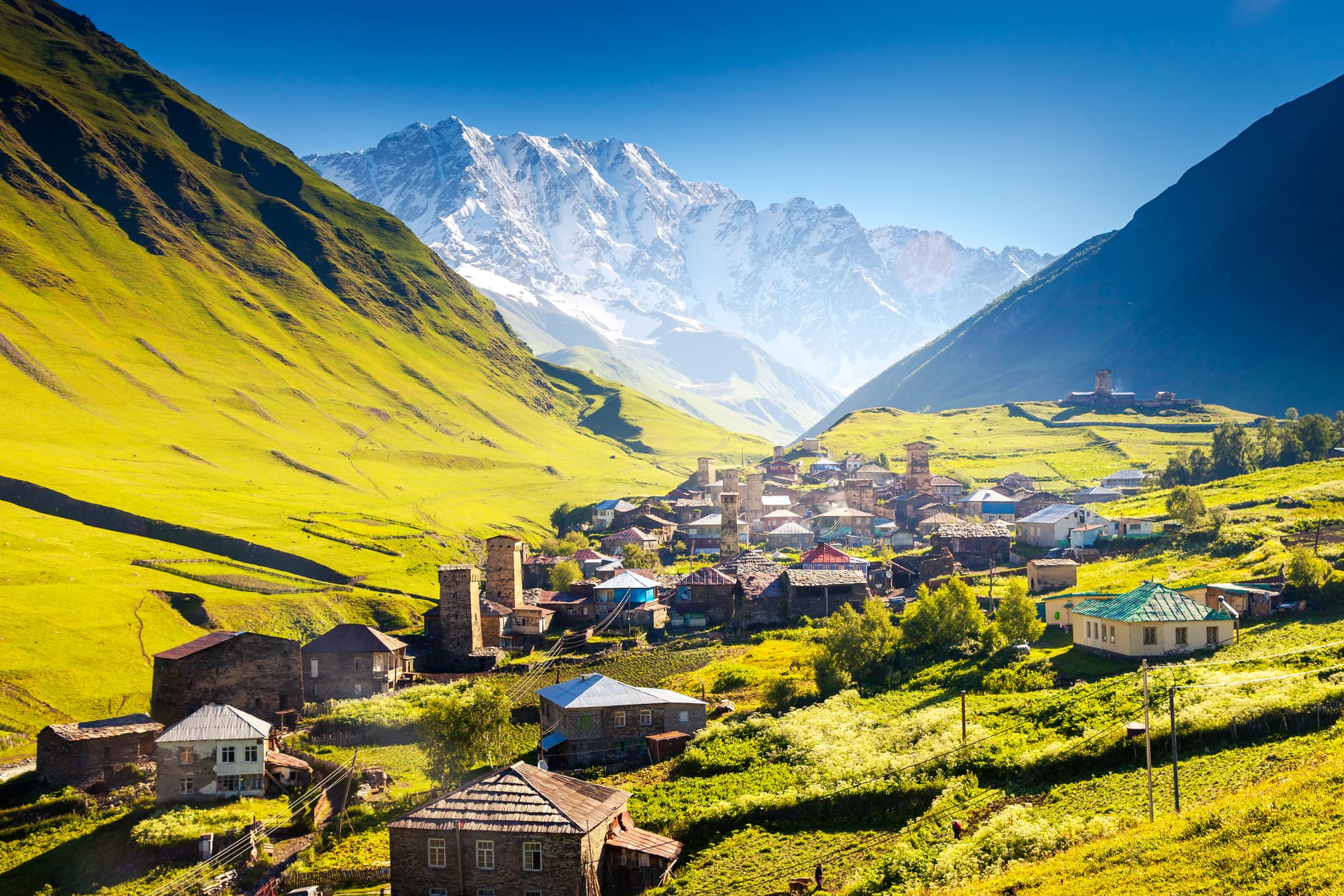
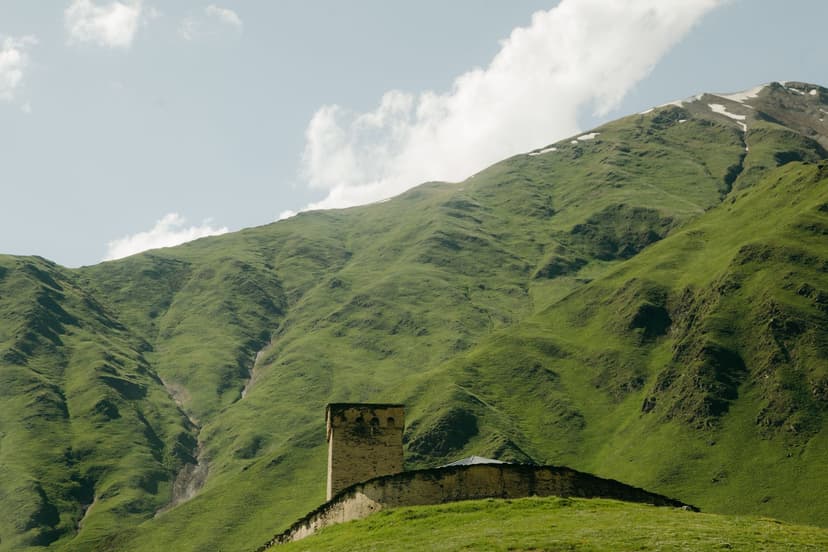
Georgia sits at the seam where Europe meets Asia, a small country wedged between the Black and Caspian seas with the Greater Caucasus range walling off its northern edge. Those mountains carry most of the walking. They run higher than the Alps, they hold villages that have kept their medieval stone towers for a thousand years, and you can walk among them for a fraction of what the same week costs in Chamonix or Zermatt.
The short answer to “is it worth it?” is yes, emphatically — the trekking here rivals anything in Western Europe, and the Mestia–Ushguli traverse through Svaneti is one of the great multi-day walks on the continent. The catch is not the walking. It is getting to the trailheads, carrying enough cash, and timing your trip to the narrow window when the high passes are clear.
The basics:
Where: the Greater Caucasus in the north, the Lesser Caucasus around Borjomi, and the forests of the east and the Black Sea coast.
Signature trek: the four-day Mestia–Ushguli traverse through Svaneti.
Difficulty: moderate in the Caucasus, gentler in Borjomi; long days and a river crossing, but no technical climbing.
Season: late June to mid-September for the high passes; April to November lower down.
Where Georgia's Trails Are
Georgia's walking divides four ways, and only one of them is the range that gets written about. The Greater Caucasus runs the length of the northern border and carries most of the trekking, split between Svaneti in the west, Kazbegi in the middle, and Tusheti and Khevsureti in the far east. Almost every route on the standard itineraries is in one of those three.
The Lesser Caucasus sits in the south-west, and Borjomi-Kharagauli National Park is its center — 104,099 hectares, over 1.5 percent of the country, with twelve marked trails and tourist shelters to sleep in. It is lower, greener, and walkable for months longer than the passes up north, which makes it the obvious answer when the high season is closed or fully booked.
The eastern end gives you Lagodekhi, where a three-day trek climbs to a lake sitting on the Russian border, and the Black Sea side adds Adjara's rainforest — wet, green, and walkable in spring while everything else is still under snow. Neither will fill a fortnight on its own, but either turns a Caucasus trip into a broader one.
Georgia's Best Treks at a Glance
Ten routes cover almost everything a first-time visitor wants, from a half-day valley walk to a nine-day traverse. The table below sets them side by side so you can match a walk to your fitness and the days you have, and the region column tells you which part of the country each one sits in.
Route | Region | Days | Distance | Difficulty |
|---|---|---|---|---|
Mestia–Ushguli | Svaneti | 4 | ~52 km | Moderate–hard |
Transcaucasian Trail, Upper Svaneti | Svaneti | 7–9 | 140 km | Hard |
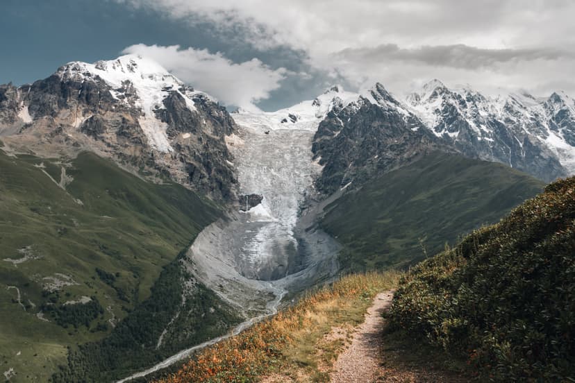
Shkhara Glacier | Svaneti | 1 | 16 km | Easy |
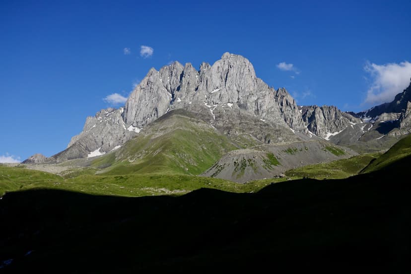
Chaukhi Pass (Juta–Roshka) | Khevi | 1 | 18 km | Hard |
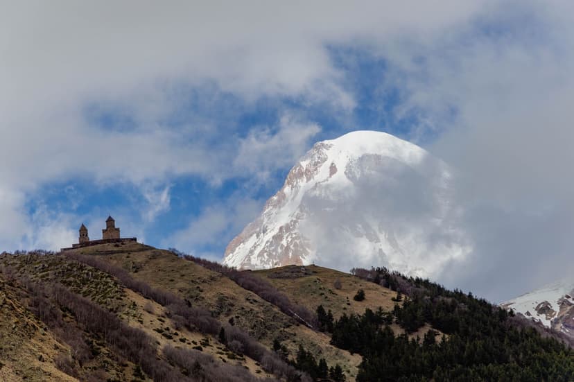
Gergeti Glacier | Kazbegi | 1 | 22 km | Hard |
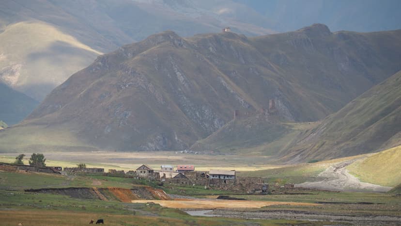
Truso Valley | Kazbegi | 1 | 22 km | Easy |
Tusheti (Atsunta) | Tusheti | 4–6 | varies | Hard |
Panorama Trail | Borjomi-Kharagauli | 2 | 31 km | Moderate |
St Andrew's Trail | Borjomi-Kharagauli | 4–5 | 54 km | Moderate |
Black Rock Lake | Lagodekhi | 3 | 38 km | Moderate–hard |
The Caucasus Is the Core
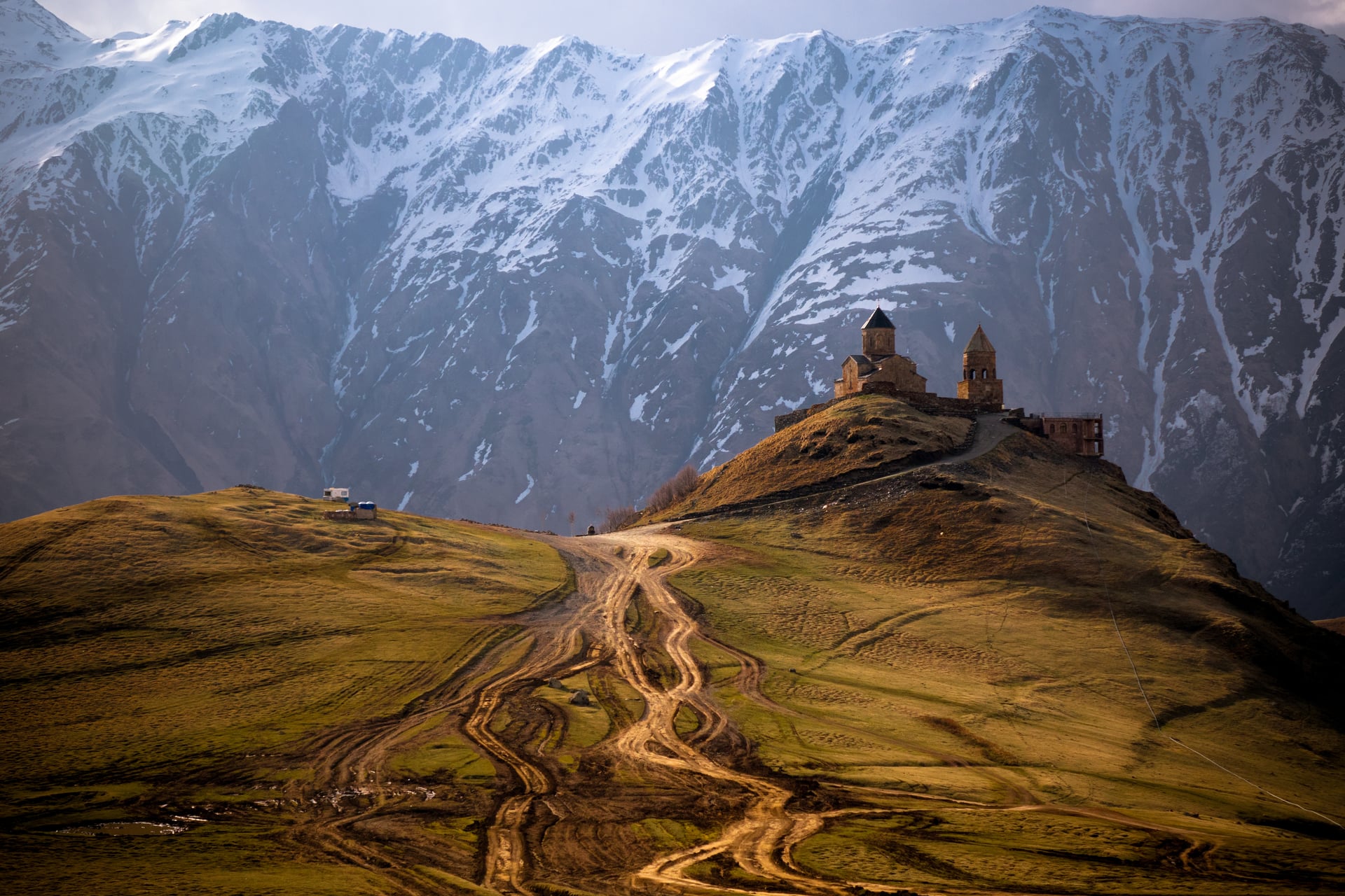
Most of Georgia's walking is in this one range, and the comparison that keeps coming up is with the Alps. It holds. The Greater Caucasus is a bigger, younger, wilder range: Georgia's highest peak, Shkhara, tops out at 5,193 meters, and Mount Kazbek reaches 5,047. What the Alps have that Georgia does not is a century of tourism infrastructure — cog railways, cable cars, waymarked networks polished to a shine. In Svaneti and Tusheti you walk instead through working pastoral country, past shepherds moving flocks to summer grazing and villages where the defensive towers were built to survive blood feuds, not to sell postcards.
Price is the other reason. A guesthouse bed with a home-cooked dinner and breakfast costs a fraction of the equivalent night in the Alps, and a full day's private transfer costs less than a single cable-car ticket in the western Alps. That gap changes how you travel. You can afford to hire a horse to carry your pack, take the guesthouse dinner every night, and build in spare days for weather without watching the budget drain away.
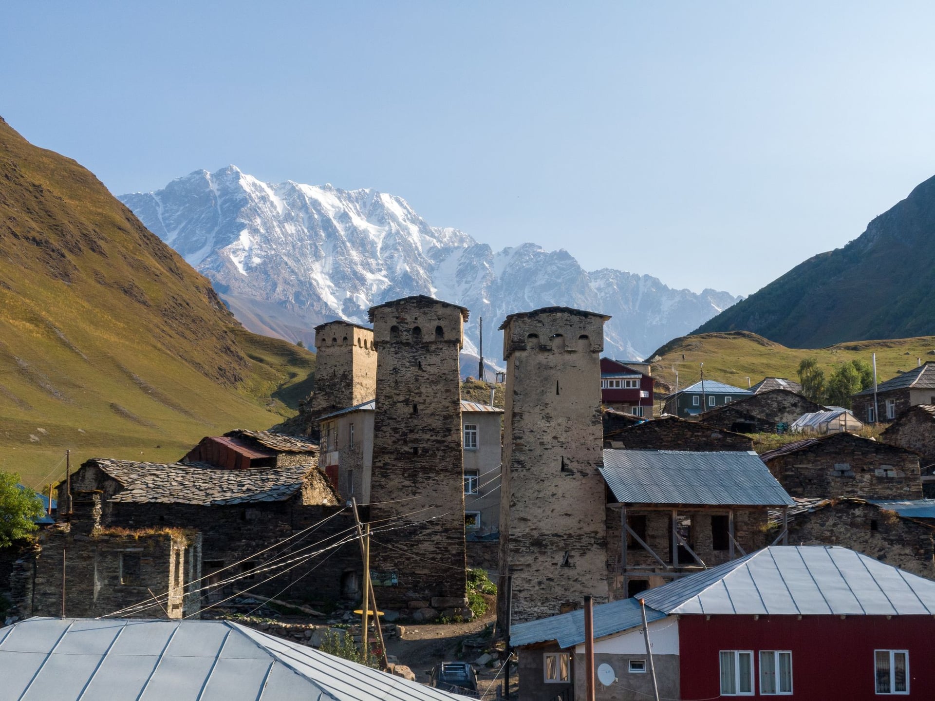
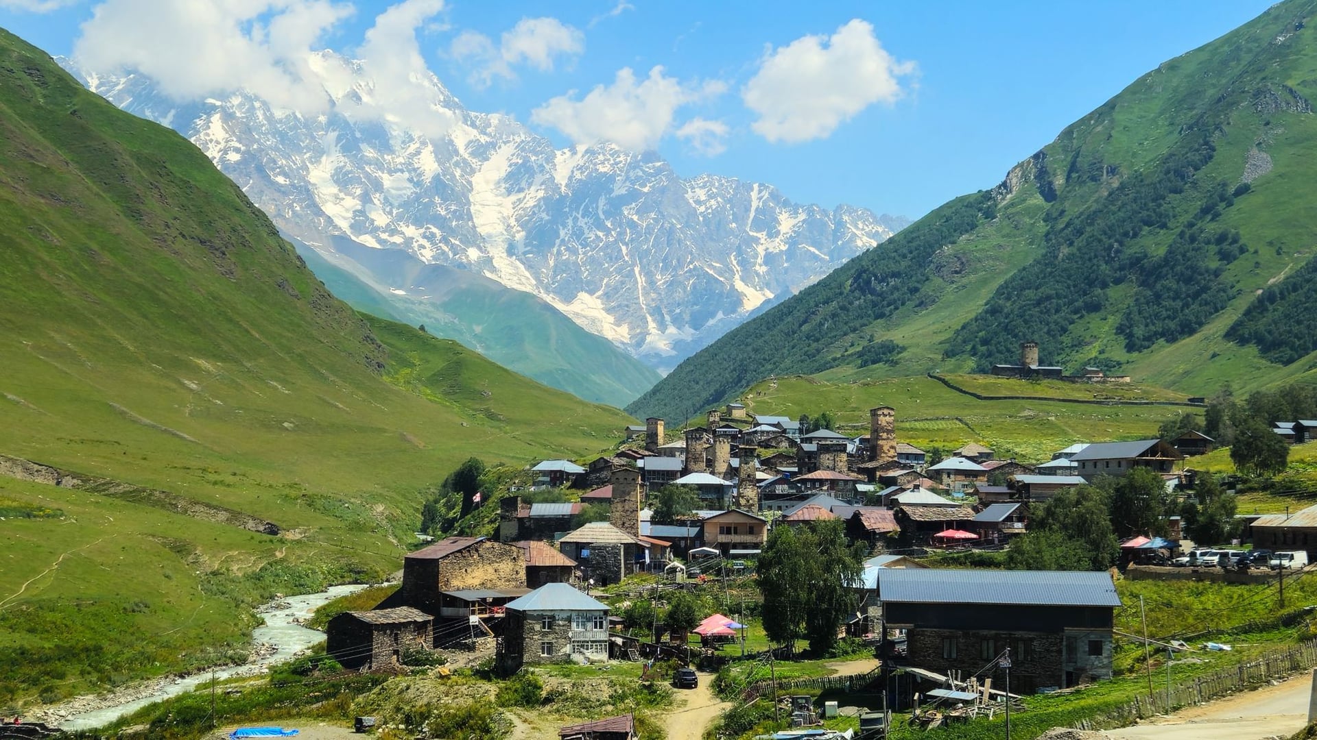
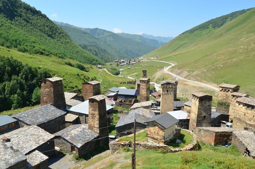
The trails themselves reward the effort. You gain ridges that put Shkhara and Janga, both above 5,000 meters, in a single sweep, drop into valleys where the only sound is a river and cowbells, and finish in Ushguli, one of Europe's highest permanently inhabited settlements at around 2,100 meters, where the towers cluster under Shkhara's north wall.
The Best Caucasus Trails
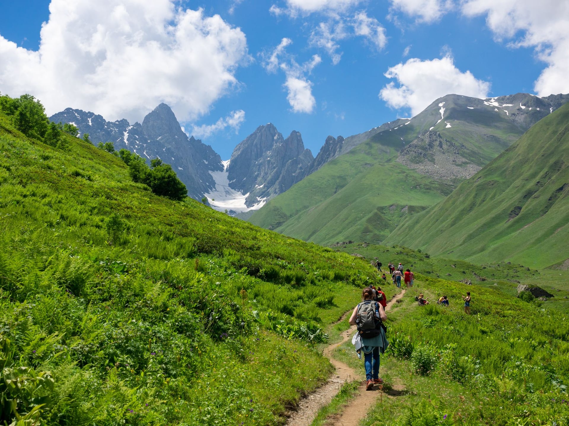
Georgia's Caucasus trekking clusters in three high regions plus a scatter of superb day hikes. These are the routes worth planning a trip around.
The Mestia–Ushguli traverse is the multi-day headline. Four days and roughly 52 kilometers carry you east through Upper Svaneti, village to village, sleeping in guesthouses each night rather than tents. Daily stages run 10 to 15 kilometers with steady ascents rather than brutal ones, and the reward builds toward day four, when the trail rounds a shoulder and Shkhara fills the horizon the whole way into Ushguli. One caution shapes the whole walk: the third day includes a river crossing that turns dangerous after rain or in the afternoon melt, and hiring a local horse to ford it is money well spent.
If four days is not enough, the Transcaucasian Trail's Upper Svaneti section is the long version of the same country. It runs 140 kilometers from Chuberi in the Nenskra valley to Ushguli, crossing five major mountain passes in seven to nine days, blazed red-and-white and yellow-and-white the whole way. It asks for real hill fitness and a tolerance for remote camping, and it is the closest thing Georgia has to a thru-hike.
The day hikes near Kazbegi are the other must-do, and you can base yourself in Stepantsminda for all of them. Below are the trails and places most worth your time in this part of the country.
Beyond the Caucasus
Two regions outside the big range are worth days of their own, and both run far longer seasons than the passes. Neither appears on the standard Georgia trekking itinerary, which is most of their appeal.
Borjomi-Kharagauli is the Lesser Caucasus in one park, and it is the only part of the country that offers anything like a marked, self-contained trail network. It covers 104,099 hectares — over 1.5 percent of Georgia — across three regions, with twelve marked trails, tourist shelters instead of guesthouses, and a high point of 2,642 meters on Sametskhvario. The two-day, 31-kilometer Panorama Trail is the one to walk first: a ridge route that puts the Lesser and the Greater Caucasus in view at the same time and loops back to where it started. The 54-kilometer St Andrew's Trail is the long one, four or five days point to point through beech forest and alpine meadow. You register at the visitor center before you set off, and you can rent camping gear there if you did not bring it.
Lagodekhi, in the far east of Kakheti, has one great trek and it is worth the detour. Three days and 38 kilometers climb from the visitor center to Black Rock Lake at 2,865 meters, with 2,531 meters of ascent spread across the way up and the Georgian–Russian border running straight through the water at the top. Hut and camping fees are paid in advance at the visitor center, and the border guards check passports on the second day, so carry yours where you can reach it.
How Challenging Is Hiking in Georgia?
Georgia grades its trails park by park rather than nationally. Routes on the Agency of Protected Areas list carry a single spec line: length, days or hours, whether horses and bikes are allowed, and a difficulty word. Borjomi’s Panorama trail reads 34 km, 2 days, pedestrian and horse riding, difficulty: hard. The scale has three bands, though the English wording drifts between parks — easy, average and hard in most of them, difficult in place of hard in Tusheti.
The spread is lopsided. Across Borjomi, Lagodekhi and Tusheti, one listed trail is graded easy, most are average, and a few are hard. And hard here tends to mean long and remote rather than steep or exposed: Borjomi’s three hard trails are all multi-day forest routes, not scrambles. Outside the protected areas nothing is graded and little is waymarked — the red-and-white blazes on the Transcaucasian Trail through Svaneti are the exception. Our hiking difficulty guide explains how we rate the same routes.
If the trekking above is more than you want, our twelve-day Great Caucasus Discovery is a gentler cultural route through southern Georgia and on into Armenia — Tbilisi, the Kakheti vineyards and Vardzia, then Gyumri, Yerevan and Lake Sevan — rated 1/5 for fitness and 1/5 for technical difficulty, with transport, accommodation and timing all arranged. It goes nowhere near Svaneti, Kazbegi or Tusheti, so take it as a different trip from the walks on this page rather than a packaged version of them.
When to Go
The trekking season is short and worth respecting. The high passes — Chaukhi, the upper Mestia–Ushguli stages, Atsunta in Tusheti — hold snow into June and can close again by mid-October. Late June through mid-September is the reliable window for anything above 3,000 meters, with July and August the busiest and hottest on the exposed sections.
The shoulders reward flexibility. Late May and early June open the lower valleys, the wildflowers peak, and the crowds have not arrived, though the top passes may still be blocked. September is many walkers' favorite: stable weather, thinning crowds, and the first gold coming into the birch. By late October the mountain roads to Tusheti and upper Svaneti begin to close for winter, and the high season is effectively over.
Away from the passes the year runs much longer. Borjomi-Kharagauli walks from spring through autumn and takes snowshoes in winter, and Lagodekhi and the Black Sea side open earlier in spring than anything in the north. If your dates are fixed and they fall outside the Caucasus window, that is where to look rather than giving up on the trip.
Getting Around
This is where the planning gets hard. The mountains are not close to anything. Mestia lies the better part of a day from Tbilisi, and the marshrutka minibuses that serve the routes are cheap, cramped, and slow — a genuine adventure rather than a transfer. For the long mountain runs, a fixed-price private car booked through one of the Georgian transfer platforms costs little more and spares you both the discomfort and the safety worries.
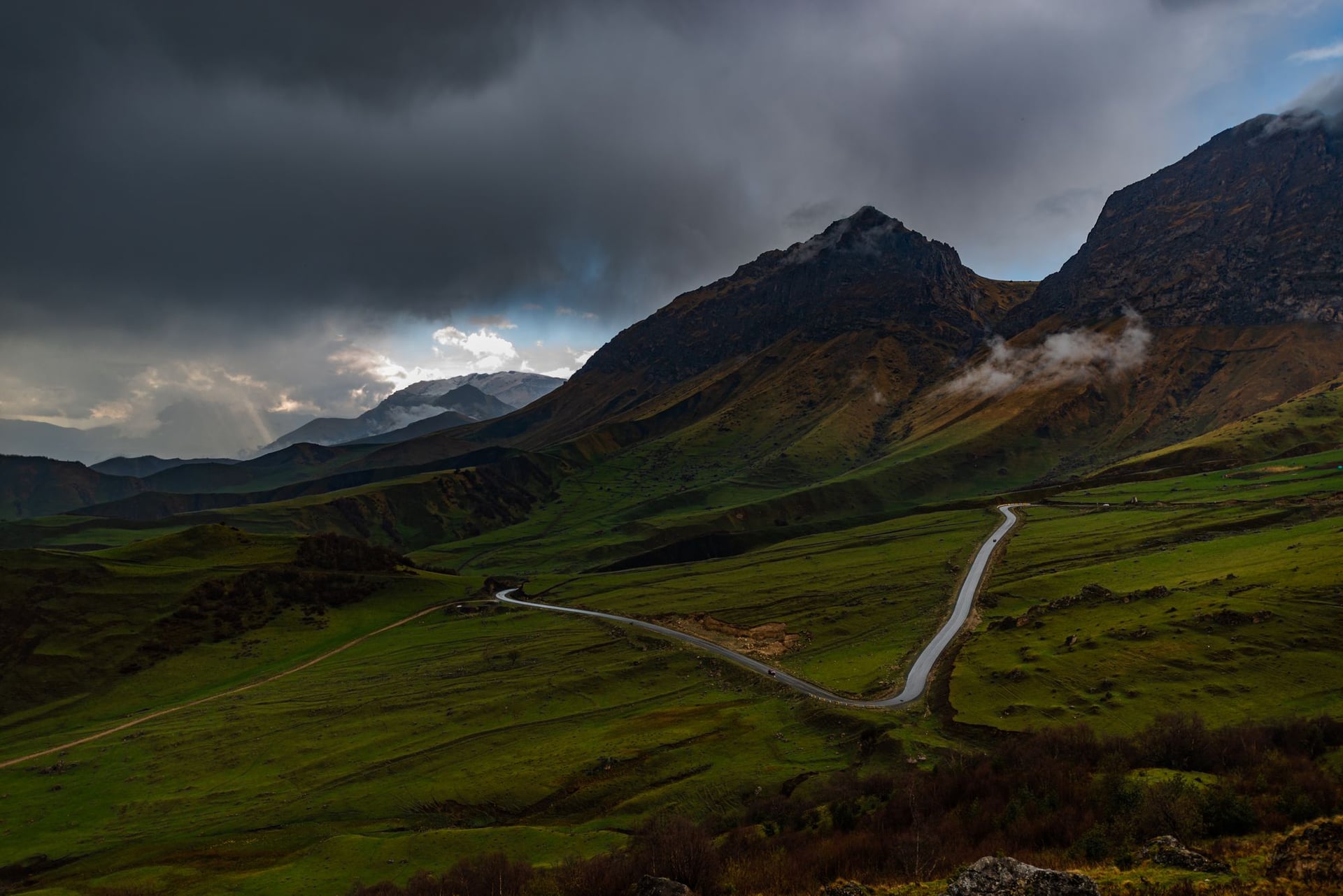
Those worries are real and worth stating plainly. Mountain roads here are narrow, often unsurfaced and poorly maintained, and overtaking on blind bends is common. Avoid driving these routes after dark, choose a driver over a bargain, and give yourself more time than any map suggests. The road to Tusheti over the Abano Pass is unsurfaced, exposed and subject to rockfall, and it should be attempted only in good weather, by daylight, with a driver who knows it.
Guides, Cash and Border Zones
Three practical points separate a smooth trip from a stressful one.
First, cash is king in the mountains. ATMs are everywhere in Tbilisi and reliable in Mestia, but once you leave town for the trail there are none. Guesthouses, horse hire, and village shops take Georgian lari in cash only, so withdraw enough to cover your whole trek before you set off, plus a buffer for a weather delay.
Second, the shepherd dogs. The Caucasian flocks are guarded by large livestock dogs that take their job seriously, and meeting one on the trail unsettles first-timers more than the terrain does. The rule is simple: do not run, do not make eye contact, keep walking calmly past the flock, and let the dog escort you off its patch. It is defending sheep, not hunting you.
Third, some of the best valleys run close to sensitive borders. Truso ends near Russia, Black Rock Lake in Lagodekhi sits directly on the line, and parts of Tusheti and Khevsureti brush frontier zones, so carry your passport on every hike and respect any restriction on how far up a valley you may go. Entry to Georgia itself is visa-free for most nationalities for a full year, and the country's official tourism board keeps the current rules and regional updates in one place.
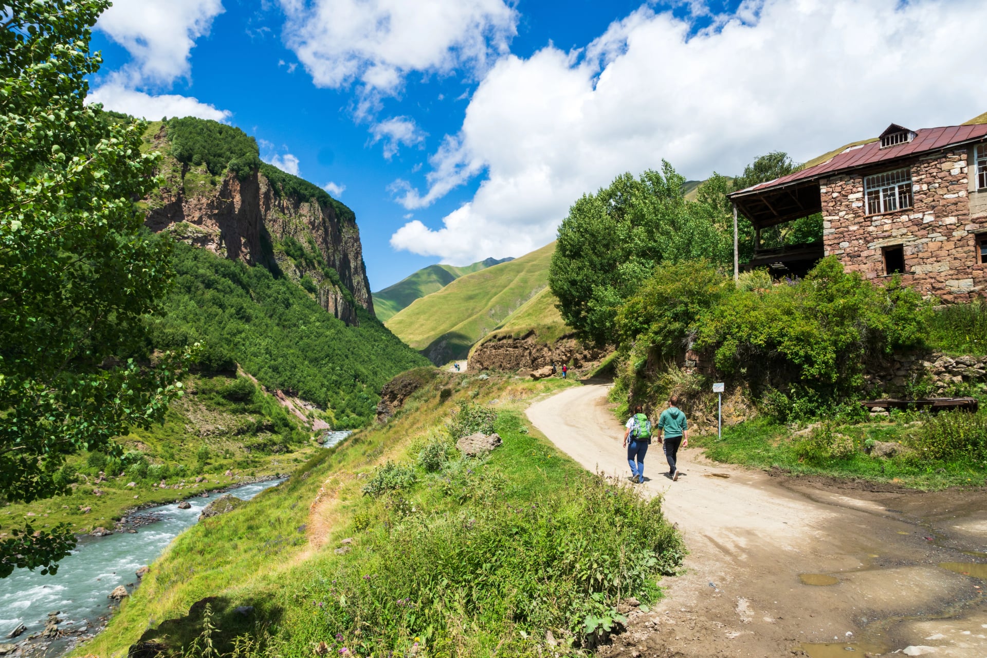
On guiding, you can walk the main routes independently — none of the classic trails demand technical skills — but navigation is unreliable, signage is thin, and little English is spoken in the villages, so many walkers want more support than a paper map.
The other catch is beds: guesthouses rarely take online bookings and fill up fast on the popular Svaneti stages in July and August, which strands independent hikers who assumed they could just turn up.
The middle path most of our travelers take is self-guided — we book the guesthouses and transfers and load the route onto your phone, and you walk it at your own pace with no guide alongside.
Ready to start planning? Browse the full range on our Georgia hiking page, or take the two-minute quiz to find the tour that matches your fitness and your dates.

About this author
Ajda is our travel advisor, raised in a village surrounded by mountain peaks. Hiking entered her life early on and remains her favorite way to reconnect with nature.










.jpg&w=828&q=75)




















































.jpg&w=828&q=75)























