Levadas: A Guide to Madeira's Water Trails
The 500-year-old irrigation channels that double as Madeira's most-walked trails: here is what they are, which to walk, and how to handle the tunnels and cliffs.

Ajda
Published September 29, 2026
Edited September 29, 2026
10 min read
Don't want to read all this?
We've planned 2,000+ hiking trips. Send your dates, fitness and group size — we'll map the route and book every night.



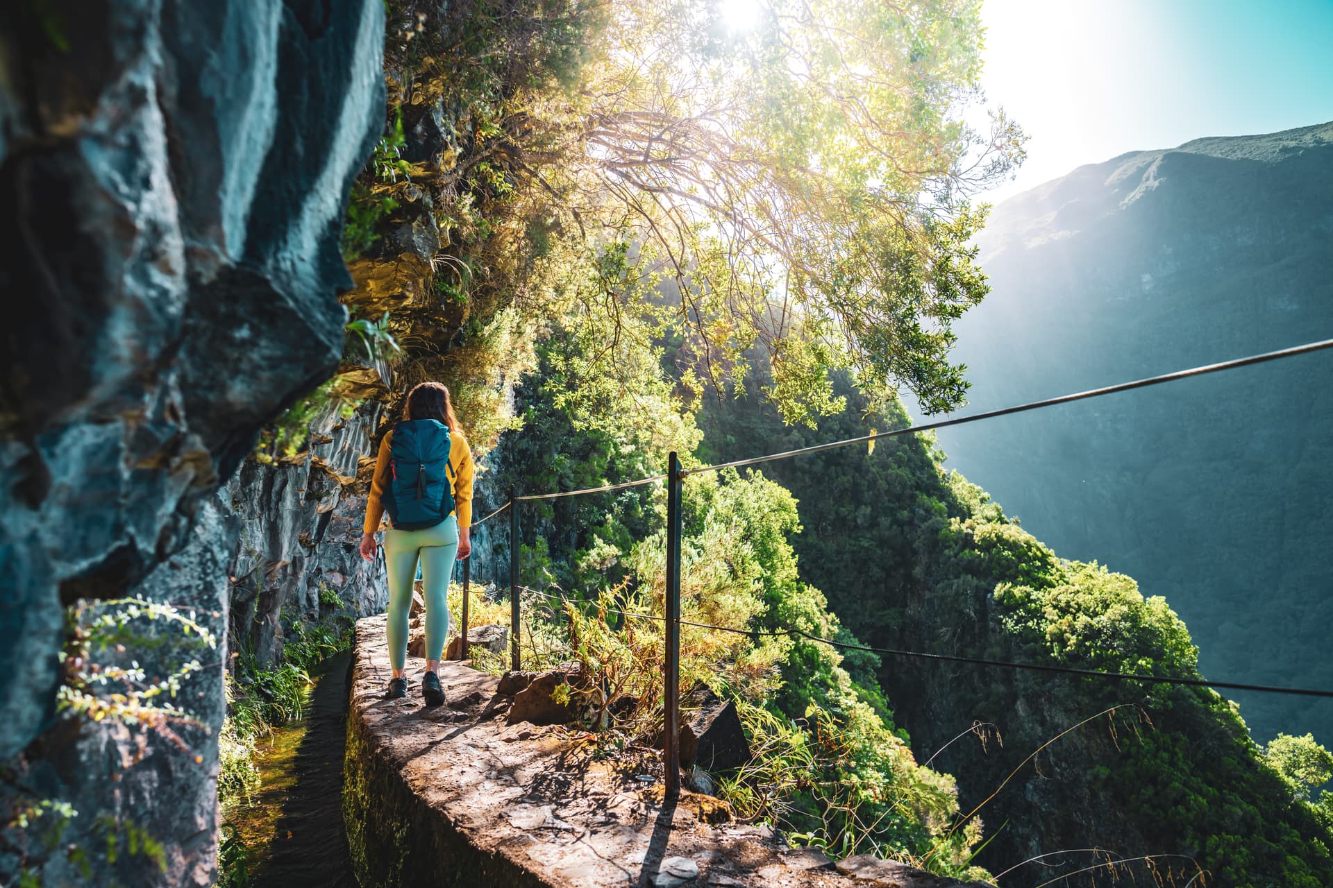
Walk any trail on Madeira for more than an hour and you'll end up beside one — a channel of clear water, maybe half a metre wide, running along a hillside contour with a footpath cut alongside it. That's a levada. There are 2,000 kilometers of them across the island, most cut between the 15th and 20th centuries to move water from the wet north to the dry south.
Walking one isn't like scaling a mountain. The trails that accompany levadas run nearly flat, follow ravines and cliffs, and have their own rhythm — water at your feet, dark tunnels, and unexpected views. Before you book the ticket though, note that the classified "PR" levadas now need a SIMplifica reservation.
Quick facts:
What: Hand-cut irrigation channels with maintenance paths that double as walking trails.
Length: About 2,000 km of channels total; classified walking routes range from 3 km to 20 km.
Difficulty: Almost always flat, but often long, exposed to cliff drops, and tunnel-heavy.
When: Year-round; October and April are peak, winter sees more weather-related closures.

The Anatomy of a Levada
A levada is a hand-cut water channel. The first ones were dug in the 1460s, within a couple of generations of settlement, when Portuguese colonists realized the wet north-west of the island had more water than the dry south-east and someone would have to move it downhill. Five and a half centuries later, the network spans more than 2,000 kilometers and still delivers water for drinking, farming, and hydroelectric power to virtually every parish on the island.
Most of the older levadas were cut into vertical cliff faces by workers suspended on ropes from the top — the only way to install a contour-following channel across the ravines that fold Madeira's terrain. The maintenance paths beside them were originally for the levadeiros, the workers who inspect and clean the channels. They now double as the walking network, and the two uses coexist: on any given day you'll pass shovels, tools, and occasionally a levadeiro clearing debris out of the water.
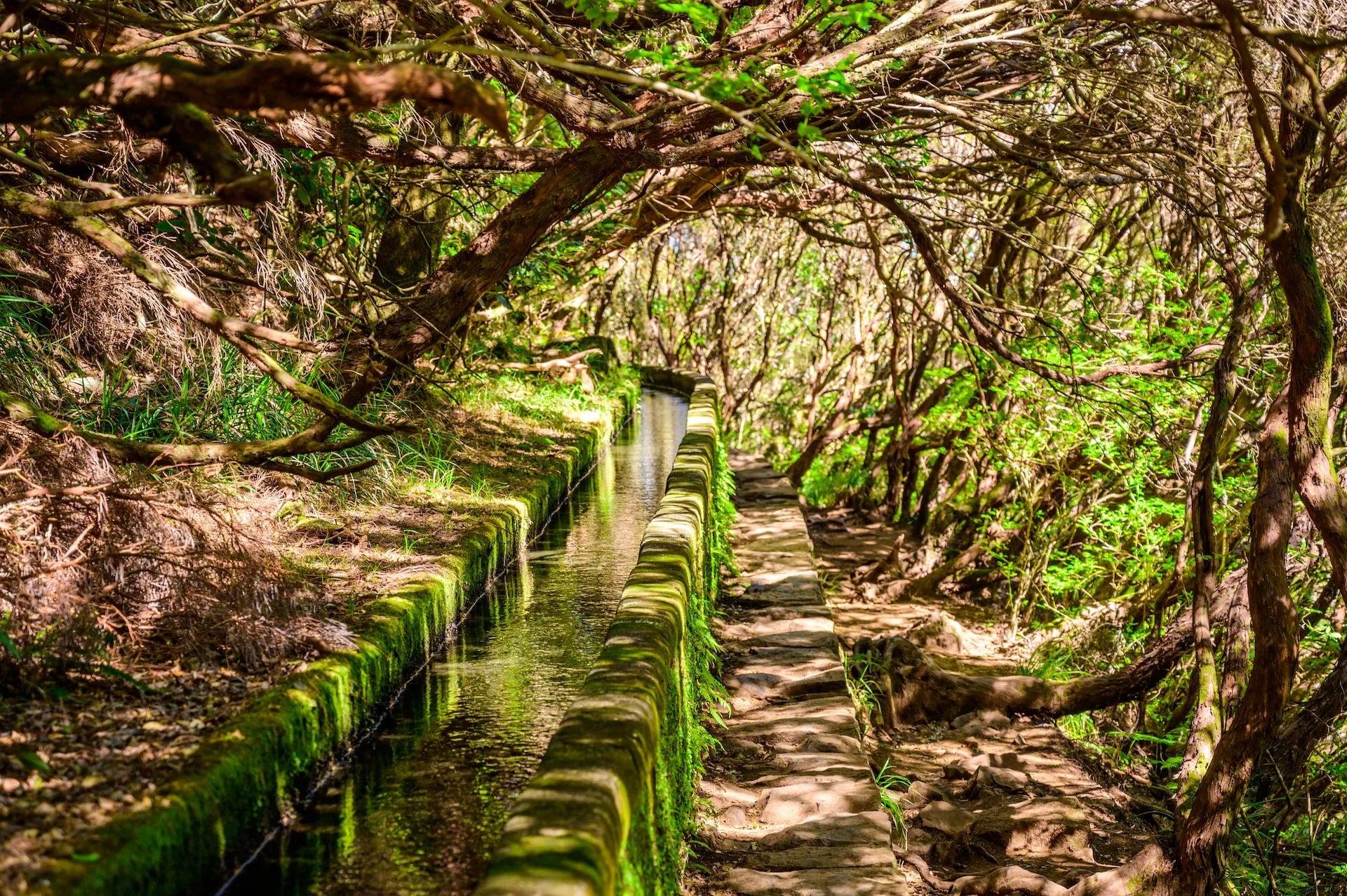
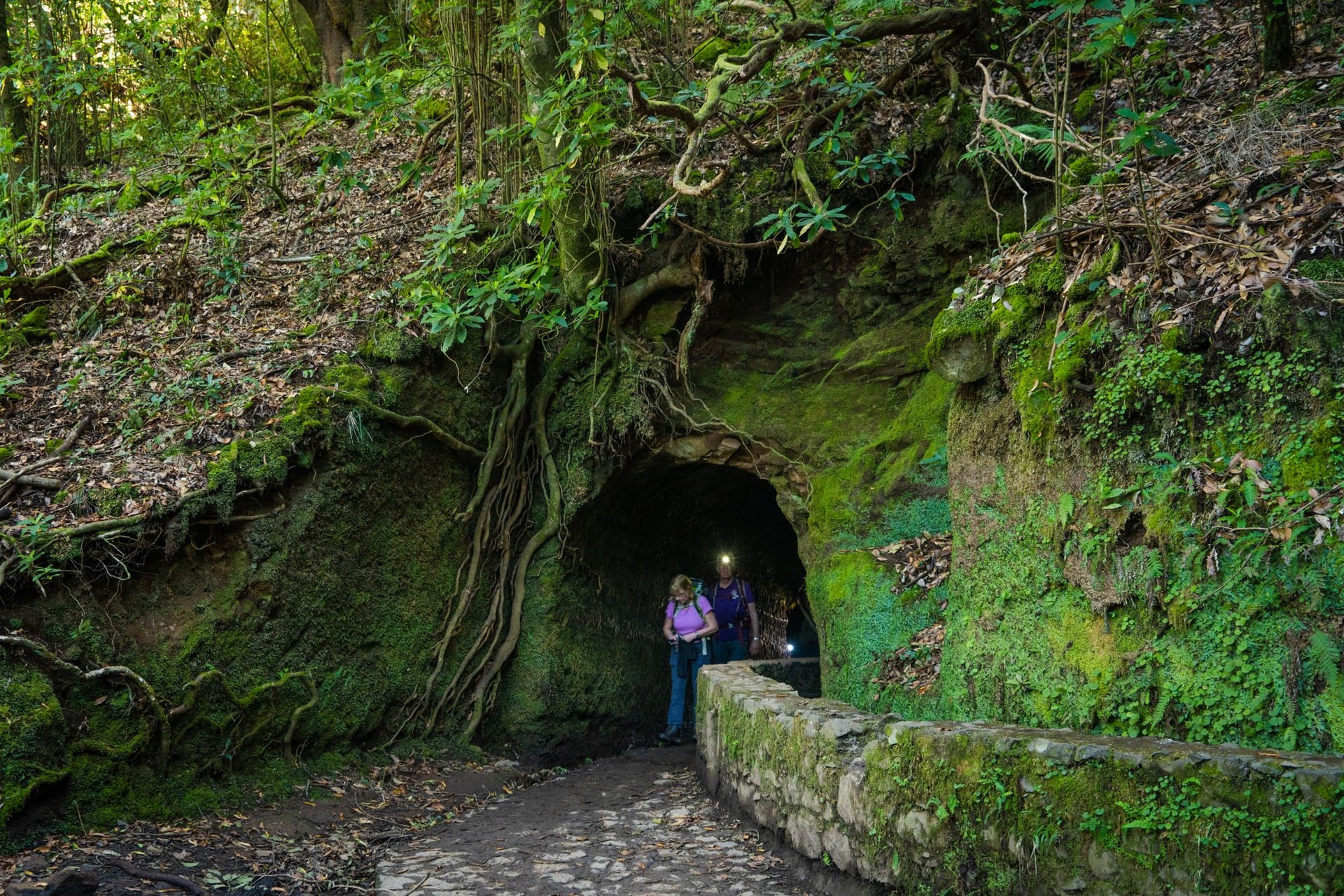
The channels are typically 30–60 cm wide, 20–40 cm deep, and lined in stone or concrete depending on the century they were cut. Water runs continuously in most of them; some route through tunnels blasted or dug through mountain shoulders. The longest tunnel on PR9's Levada do Caldeirão Verde runs about 200 meters in near-total darkness, and there are four of them on that walk alone.
Levada or Vereda?
Madeira has two kinds of walking trail and the names tell you which you are on. A levada follows a water channel, so the path is flat, narrow and contour-hugging. A vereda is an old footpath — a route people walked to get somewhere before the roads, which means it climbs, descends and behaves like ordinary hillwalking.
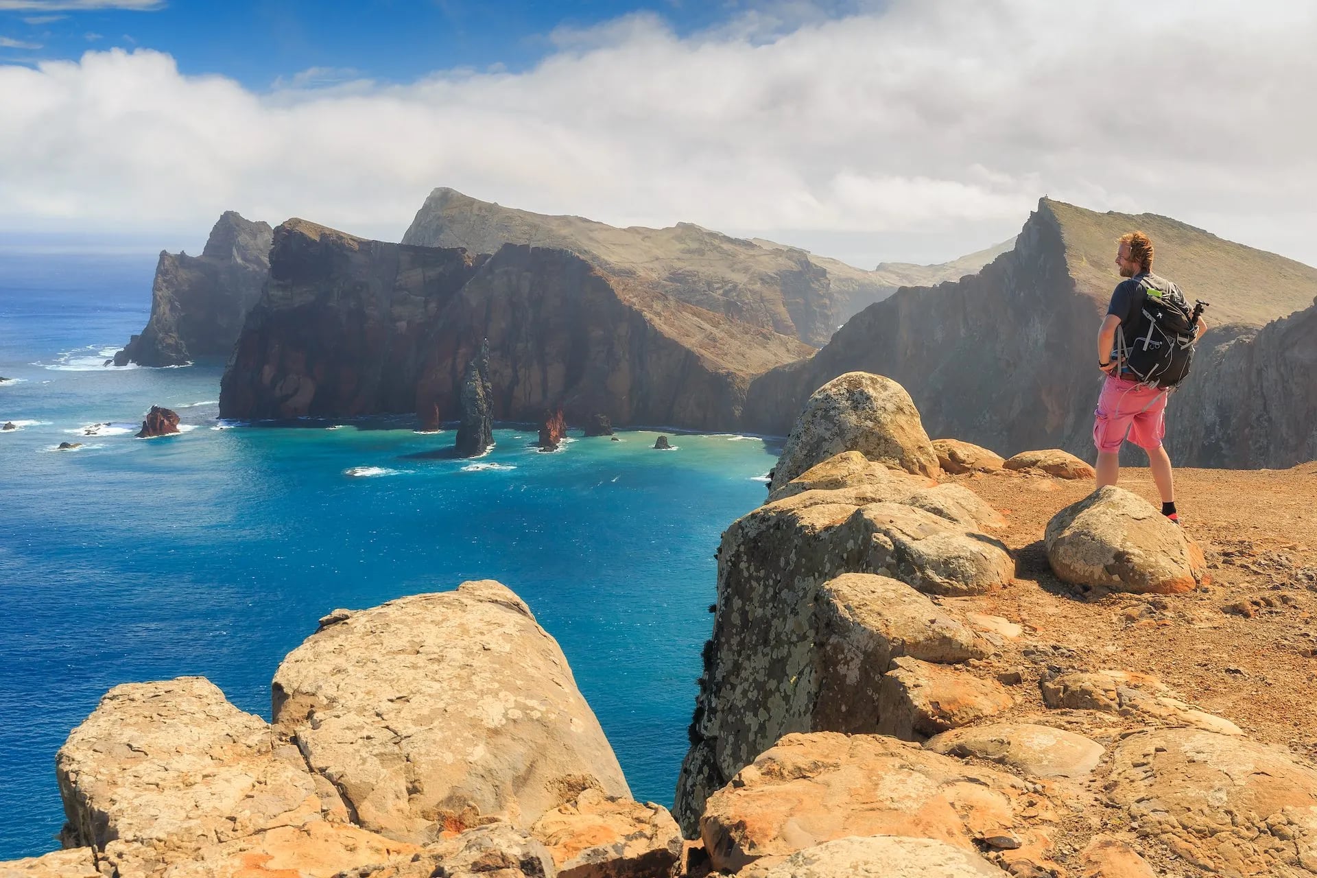
The distinction matters when you book. PR11 to Balcões and PR6 to the 25 Fontes are levada walks and stay level. PR1 over Pico do Areeiro and PR8 along Ponta de São Lourenço are veredas, with real ascent and no channel beside you. Several classified routes mix the two, running a levada out and a vereda back.
Can You Drink the Water?
No. The channel beside you is untreated irrigation supply on its way to farms, reservoirs and hydroelectric intakes, and it collects leaf litter, soil and whatever the levadeiros have not cleared yet. Carry what you need — there are no refill points on most routes, and the village fountains are at the trailheads rather than along the path.
The Rhythm of a Levada Walk
Levada walking is unlike any other kind of hiking. The trails are almost entirely flat — a consequence of the channels needing to follow contour lines — and the daily distances tend to be longer as a result. A 15 km levada walk is normal; the same distance on a mountain trail would break most walkers' will.
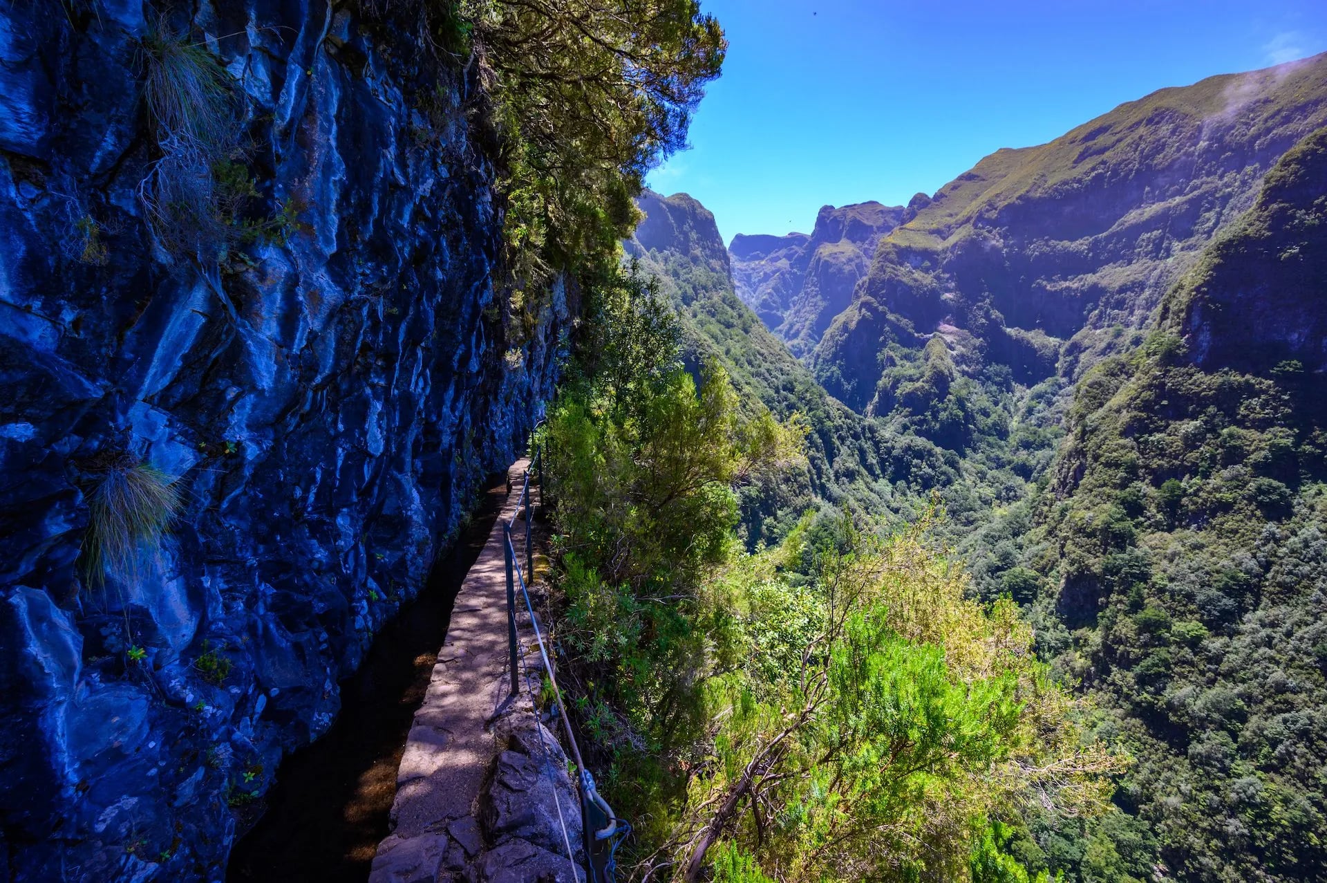
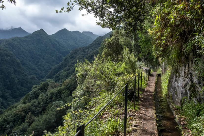
What replaces the vertical is the horizontal. The path is often 40–70 cm wide, cut into a slope or cliff, with the channel of running water on one side and sometimes nothing on the other. You walk in single file, hear water for hours, and round corners into unexpected valleys.
The tunnels are the part that surprises people. Some are short — 20 meters, lit by the entrance and exit — and you're through before you've had time to worry. Others run 500 meters or more through rock, with water dripping from the ceiling, ankle-deep puddles, and no light except your headlamp. The floor is often wet, sometimes slippery, and occasionally you have to duck. It isn't dangerous if you're prepared; it's genuinely fun once you accept the routine. But no walker who's been through the Caldeirão Verde tunnel forgets it.
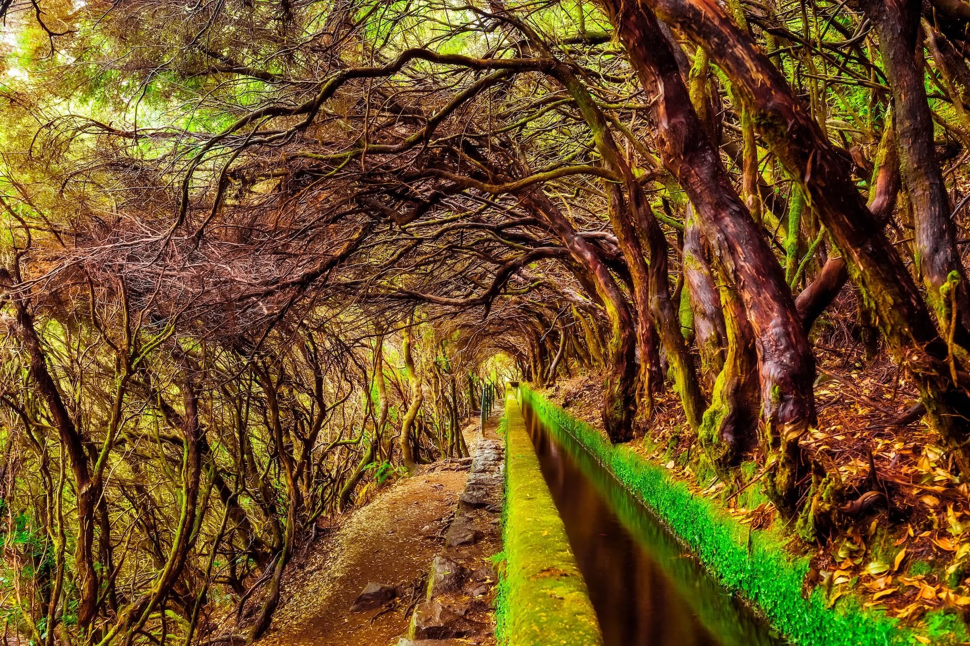
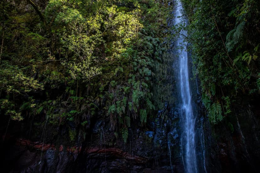
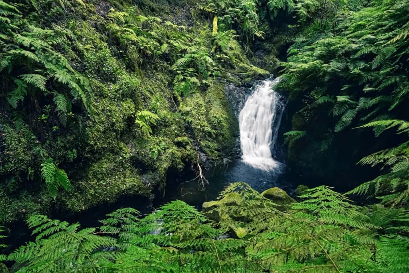
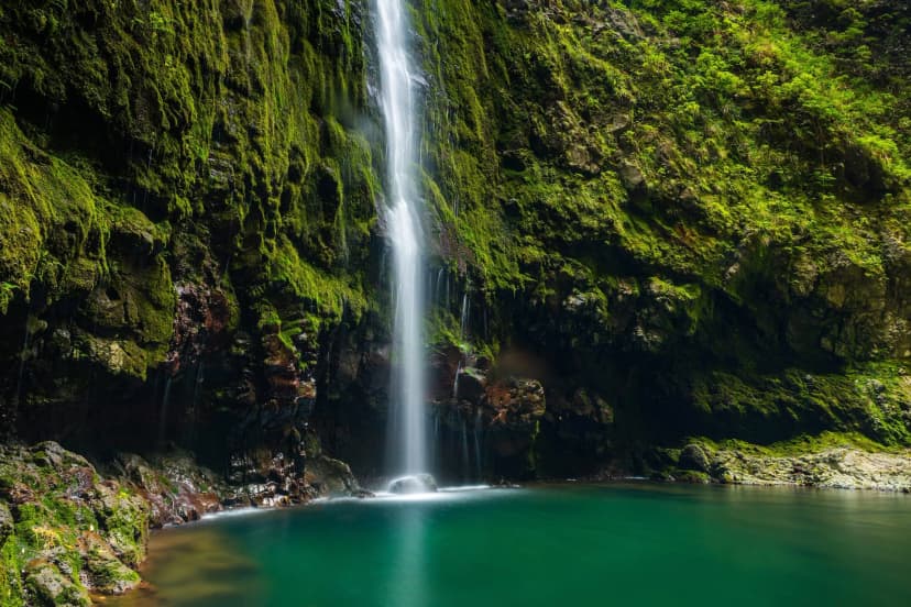
The other consistent feature is the ecosystem the levadas run through. On the north side, the trails cross UNESCO-listed Laurisilva — the ancient laurel forest that once covered most of southern Europe and now survives mainly here. On the south side, the same channels pass through eucalyptus plantations, terraced farmland, and banana groves. The change from one to the other is often inside a single kilometer.
7 Best Levada Walks
Not every levada is worth planning a day around, and the classified PR network filters most of the noise — though two of the seven below sit outside it, with no slot to book. The seven below are the ones we consistently recommend — six of them appear on one or both of our Madeira weeks, and they run from a level hour above Ribeiro Frio to a full tunnel day at Caldeirão Verde:
Each of these runs €4.50 per person via SIMplifica (except when a tour operator with an IFCN protocol handles it — then the operator absorbs the fee and the booking). If you'd rather not spend a week juggling entry-time slots for each classified trail, a tour package rolls all the reservations into one line item:
For walkers focused on the eastern side — Caldeirão Verde, the Ribeiro Frio–Balcões walk, and the Achada do Teixeira access to Pico Ruivo — the Eastern Madeira week weights the itinerary toward that half of the island and the levadas that live there.
Between the two, the itineraries cover every major classified levada worth building a Madeira week around, and all reservations are handled before you arrive.
Tunnels, Cliffs, and Water
Three practical realities separate levada walking from ordinary hillside walking. Get them right before you set out and no classified levada walk is truly dangerous.
The channel goes through the hill and so do you, often with water underfoot and a low wet ceiling
Most of the longer levadas include at least one tunnel section, and PR9's Caldeirão Verde has four. Bring a good headlamp — don't just rely on your phone torch — with fresh batteries or a full charge. The tunnels are often wet, and floor puddles can hide low points ankle-deep.
Ceilings are usually 1.7–1.9 meters, so anyone taller spends the tunnels ducked. Some tunnels have side channels where water runs down the wall; expect drips on your head. No lighting infrastructure is installed in any of them.
The channel goes through the hill and so do you, often with water underfoot and a low wet ceiling
A wire, a low wall, or nothing at all: PR11 to Balcões has none of this and is a good first gauge
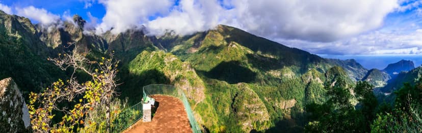
Levada paths are typically 40–70 cm wide, and many run along vertical drops of 20–100 meters with either a low stone wall or nothing at all between the path and the fall. Walkers with vertigo find sections of PR6 and PR9 uncomfortable; the short PR11 to Balcões has none of this and is a good gauge of how you'll feel on the others.
Slip risk is manageable in dry conditions but serious on wet days — the paths are usually stone or compacted dirt that gets slick after rain. Trekking poles help more than they do on mountain routes.
A wire, a low wall, or nothing at all: PR11 to Balcões has none of this and is a good first gauge
The exposed cliff sections shut first in bad weather, and the tunnels are the last part to close
The channels themselves run water year-round in most of Madeira, but the paths beside them can flood after heavy rain. Some routes close on short notice — check the IFCN status page or the SIMplifica portal on the morning of your walk in winter.
The tunnels are the last part of a route to close in bad weather; the exposed cliff sections shut first. If you've booked a slot and the trail closes, SIMplifica refunds automatically to the card used.
The exposed cliff sections shut first in bad weather, and the tunnels are the last part to close
Prepare For the Trail
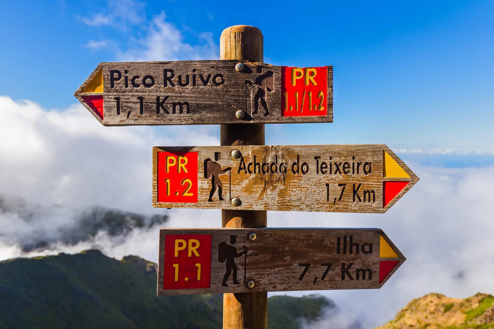
Reservations for classified PR levadas go through SIMplifica, the Regional Government's booking platform. Rules and current fees are maintained by IFCN, the regional forest and nature authority; the standard fee is €4.50 per person, in advance, for a 30-minute entry-time slot, and PR1 (which is not a levada) is the only trail with a higher price. Non-classified levadas are free and reservation-free, but they're less signposted and often less obviously safe — the classified network is the one to start with.
Best season
The season for levada walking is close to year-round.
October and April are optimal months, with mild temperatures, minimal cloud, and open levada systems throughout.
Summer (July–August) works because the tunnels are cool and the shaded Laurisilva sections dodge the heat, though the ridge views at the top of some walks disappear into cloud by mid-morning.
Winter (December–February) sees more closures after storms, but the walks that stay open are pleasant in 15–18 °C daytime temperatures.
What to pack
Gear that isn't obvious to first-timers:
A solid headlamp with fresh batteries or a full charge — phone torches drain your battery in a 500 m tunnel and free up neither of your hands
Waterproof boots or shoes with proper tread
A light rain shell year-round; Laurisilva gets its mood from a light drizzle every few hours
Trekking poles for anyone with knee issues on the longer walks
A dry bag for the camera on any tunnel walk — the ceiling dripping can be more than expected
For more general context on where the levadas sit in the wider Madeira trail network, see our Madeira hiking guide which covers the mountain PRs, coastal peninsulas, and Laurisilva walks alongside the water trails.
Ready to Walk the Levadas?
Booking a Madeira week around the levadas means booking your SIMplifica slots the moment they open — the popular trails for peak-season weekends sell out days ahead. If you'd rather not track that yourself, that's what our itineraries handle:
Every SIMplifica reservation booked and paid in advance
Vetted rural hotel and quinta accommodation
GPS files and route notes for every levada on your week
Daily trailhead transfers, so you never drive to a walk you've been on since 6 a.m.
24/7 on-trip support in English and Portuguese
Our full range of Madeira walking tours covers the classic levada PRs featured above along with the mountain routes; a mixed week gets the ridges and the water trails without the logistical overhead.

About this author
Ajda is our travel advisor, raised in a village surrounded by mountain peaks. Hiking entered her life early on and remains her favorite way to reconnect with nature.







.jpg&w=828&q=75)





















































.jpg&w=828&q=75)























