The Via Transilvanica: Walking Romania Village to Village
Our guide to walking the 1,400 km waymarked trail across Romania linking fortified Saxon churches, medieval towns, and mountain villages.

Ajda
Published September 29, 2026
Edited September 29, 2026
10 min read
Quick links
Don't want to read all this?
We've planned 2,000+ hiking trips. Send your dates, fitness and group size — we'll map the route and book every night.



The Via Transilvanica is Romania's newest long-distance trail. Completed in 2022, the 1,400 km main route runs the diagonal length of the country from Putna in Bukovina to the Danube at Drobeta-Turnu Severin, and extensions added since 2025 have taken the waymarked network past 1,600 km. It's a cultural trail, not an alpine one. Every kilometer is marked by a hand-carved andesite milestone, making the route one of the largest open-air sculpture exhibits in the world.
Most walkers focus on one stretch rather than the full 60-day traverse. The Saxon-heartland Terra Saxonum section is the most-walked, and the trail was designed exactly for this pattern.
The basics:
Where: Romania, from Putna in the north down through Transylvania to the Danube.
What: a 1,400 km waymarked walking trail, completed in 2022, across seven historical regions, with a 1,600 km network once the newer extensions are counted.
Difficulty: 1/5 technical, 1/5–4/5 fitness depending on stretch and length. Never crosses 1,500 meters.
When: April to October, with May–June and September the best months.
What Is the Via Transilvanica?
The trail was built by the Tășuleasa Social Foundation, a Romanian NGO originally focused on environmental education, and was opened progressively from 2018 before its formal completion in October 2022. The purpose behind the project was practical: to preserve the cultural heritage of rural Transylvania — particularly the Saxon villages that lost most of their population to German emigration after 1990 — and to give small mountain and Saxon communities a walking-tourism economy.
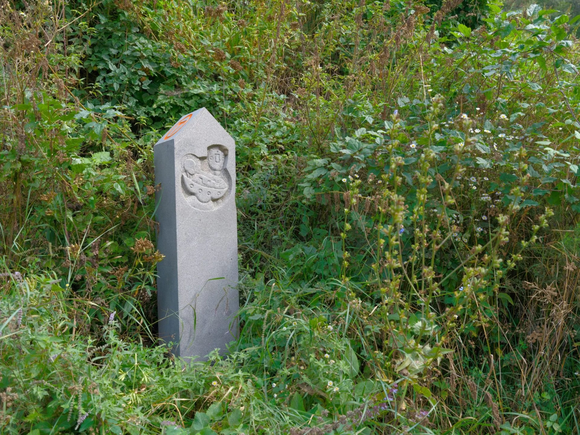
What sets the Via Transilvanica apart from other European long-distance trails is the milestone stone system. The full route is marked at every kilometer by a small hand-carved andesite borne — more than a thousand of them, no two alike, cut by the sculptors of an ongoing public-art project called the Andesite Sculpture Symposium. Walking the trail becomes as much a photo project as a physical one.
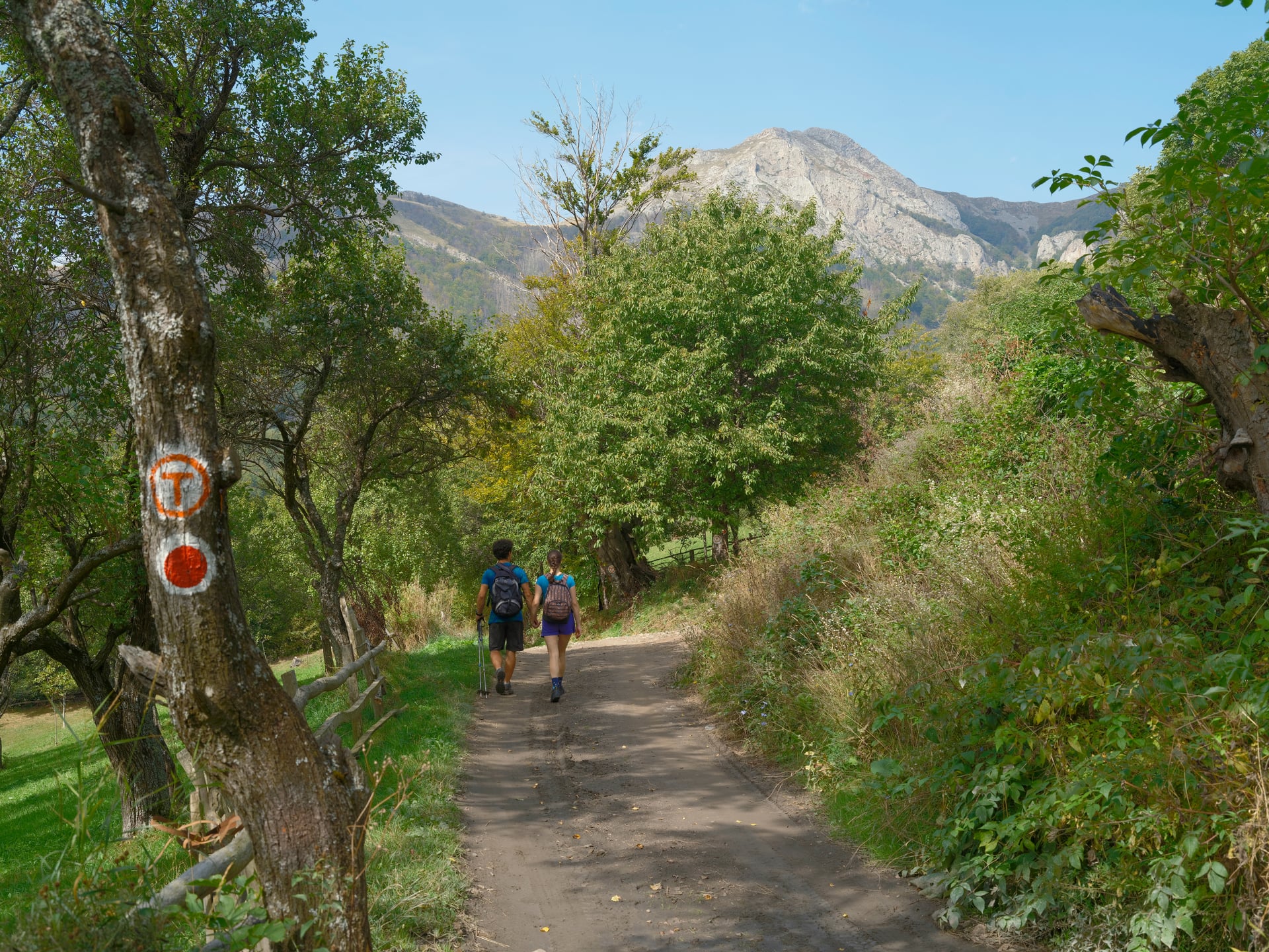
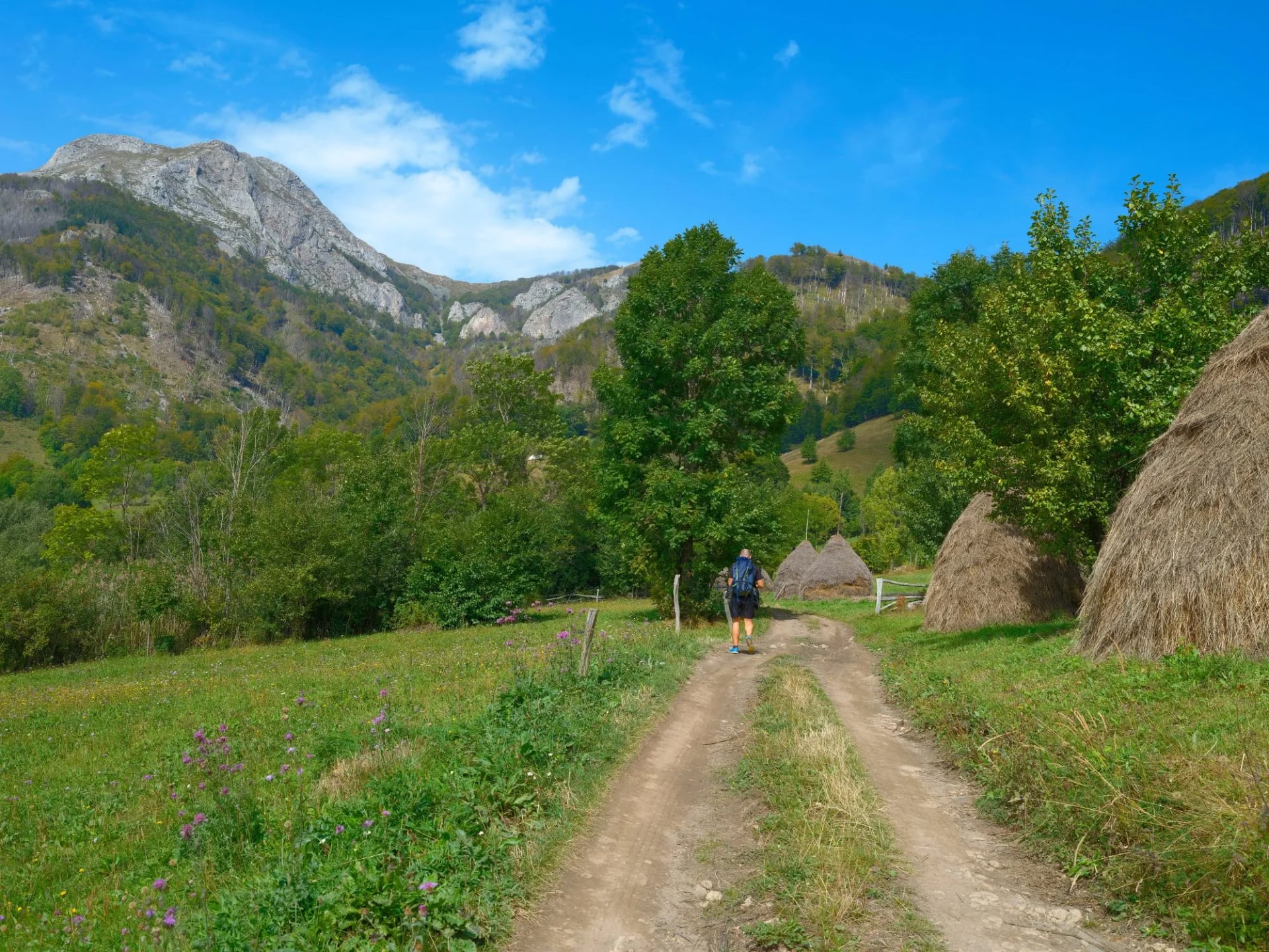
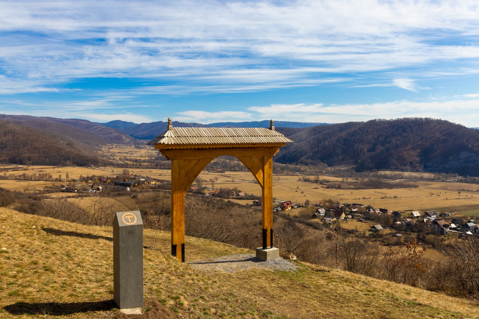
The path itself follows a mix of shepherd tracks, medieval Saxon roads, farm paths, and short road sections through villages. It's waymarked in both directions with an orange T logo on trees, poles, and stones, and never asks for scrambling or technical walking. The maximum stage is around 20 km; most are 15 to 18.
The 7 Regions You Walk Through
The 1,400 km is divided into seven sub-regions from north to south, each with a distinct character and its own local names for landmarks along the way.
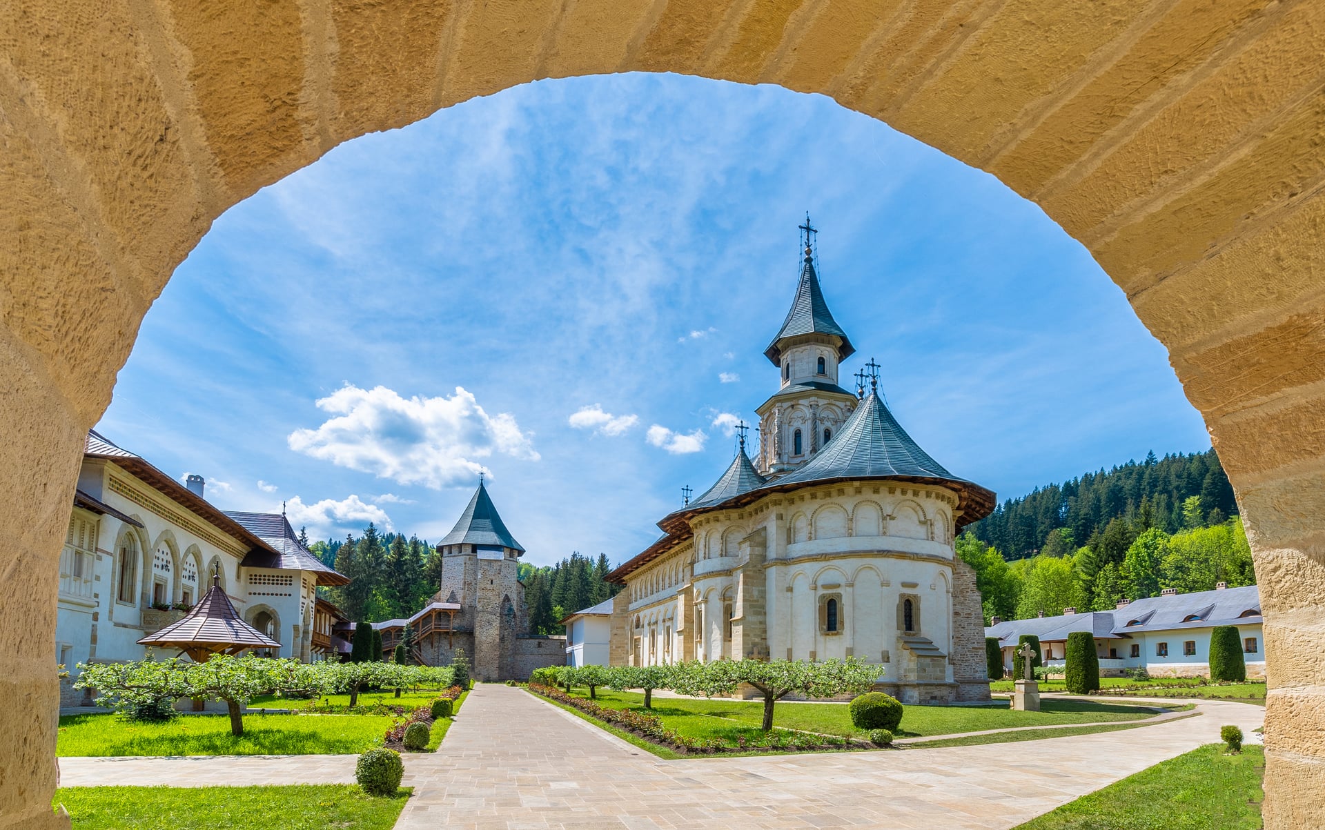
Bukovina at the northern end is monastery country — home to the UNESCO-listed Painted Monasteries of Voroneț, Sucevița, and Moldovița, with the trailhead itself at Putna Monastery near the Ukrainian border. It's the greenest, most forested stretch, and the coolest in summer.
The Highlands (Ținutul de Sus) is the second region heading south, 210 km through Bistrița-Năsăud county and the forested hills around Tășuleasa Social's base camp — the least-walked stretch of the north.
Terra Siculorum, the Szekler Land, is the ethnic Hungarian heart of Transylvania. Language, cuisine, folk architecture, and dialect all shift here — small villages sit among rolling farmland and mixed forest.
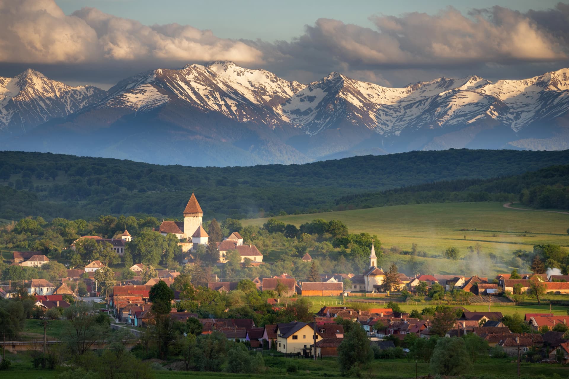
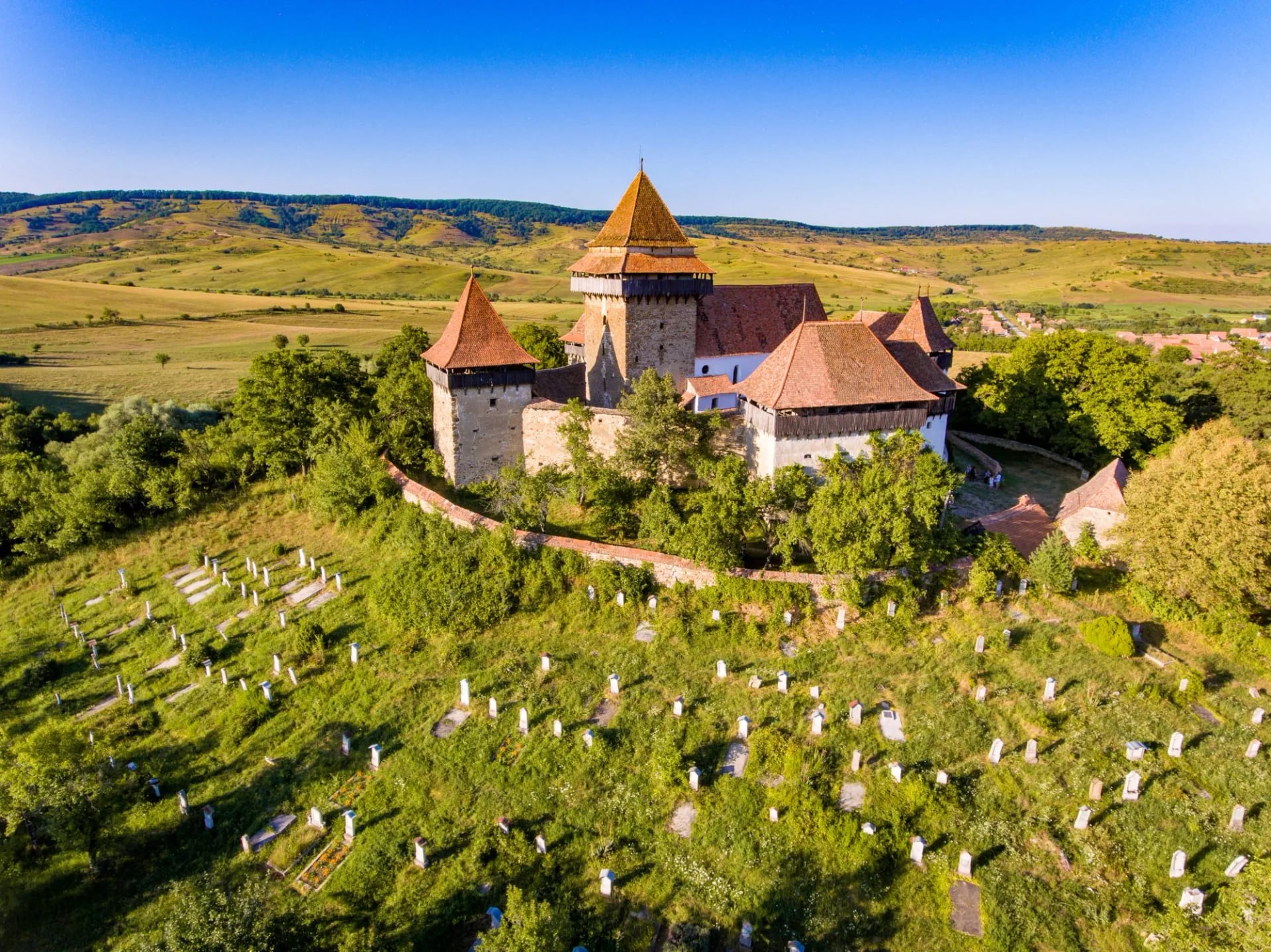
Terra Saxonum is the section most first-time walkers pick, and the reason the trail is famous. It threads the fortified-church country of central Transylvania, including several of the seven UNESCO-listed Saxon villages.
Terra Dacica covers the Orăștie Mountains and the ruins of the ancient Dacian capital at Sarmizegetusa Regia, a UNESCO World Heritage site. This is the most archaeologically dense stretch of the trail.
Terra Banatica, in the west, is the least-walked and most solitary section — small villages, mixed Serbian and Romani communities, and rolling foothills leading toward the Danube.
Terra Romana, at the southern end, follows the north bank of the Danube through ancient Roman country to the finish at Drobeta-Turnu Severin.
Region lengths run from 143 km in Terra Romana to 295 km in Terra Dacica, split into seven to sixteen stages each. A new eighth region, Terra Borza Teutonica, opened in 2025 — 187 km through eighteen communities in Brașov county — and it is the first of several planned extensions beyond the original diagonal.
Terra Saxonum: The Saxon Heartland
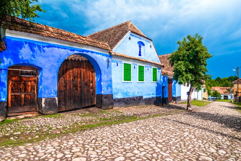
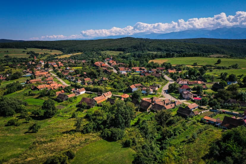
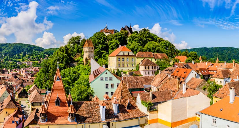
Terra Saxonum is the section most walkers choose if they only have one week for the trail, and it gives the Via Transilvanica most of its identity. It runs 210 km in eleven stages through southern Transylvania, from Archita in the east through Sighișoara and on across Sibiu county to Micăsasa, threading a landscape of fortified-church villages that Saxon colonists built between the 12th and 15th centuries.
The Saxons — originally from the Rhineland — were invited to the region by the Hungarian kings, granted land in exchange for defending the borderlands. What they built were villages with a single church at the center of each, ringed in walls tall enough to shelter the whole population from Ottoman and Tatar raids. The system worked for eight hundred years. After 1990, most of the Saxon population emigrated to Germany, but the churches, walls, and traditional houses stayed — and the trail now walks between them.
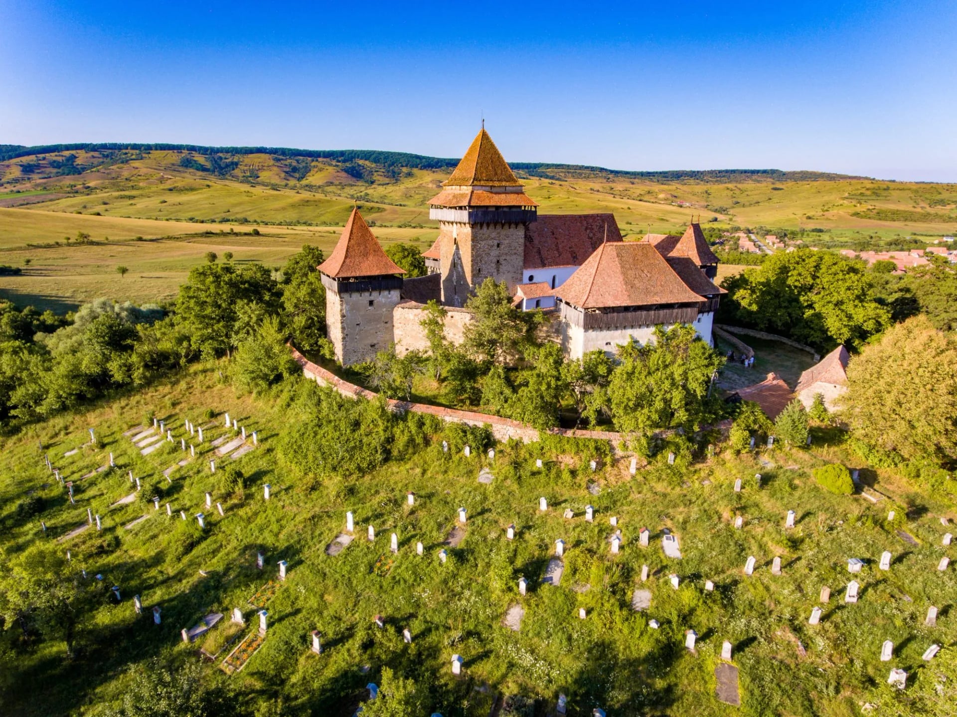
Four villages along this stretch worth planning around:
Between these named stops, the trail passes through smaller Saxon settlements — Bunești, Crit, Șaeș, Copșa Mare — each with its own fortified church and its own rhythm. The route was designed specifically to string them together at a walker's pace: no stage exceeds 20 km, and most end at a village guesthouse.
Our eight-day tour covers this stretch inn-to-inn, starting from Sibiu and finishing at Viscri, with Biertan, Mălâncrav, Criș, Sighișoara, Saschiz and Criț in between.
When to Walk
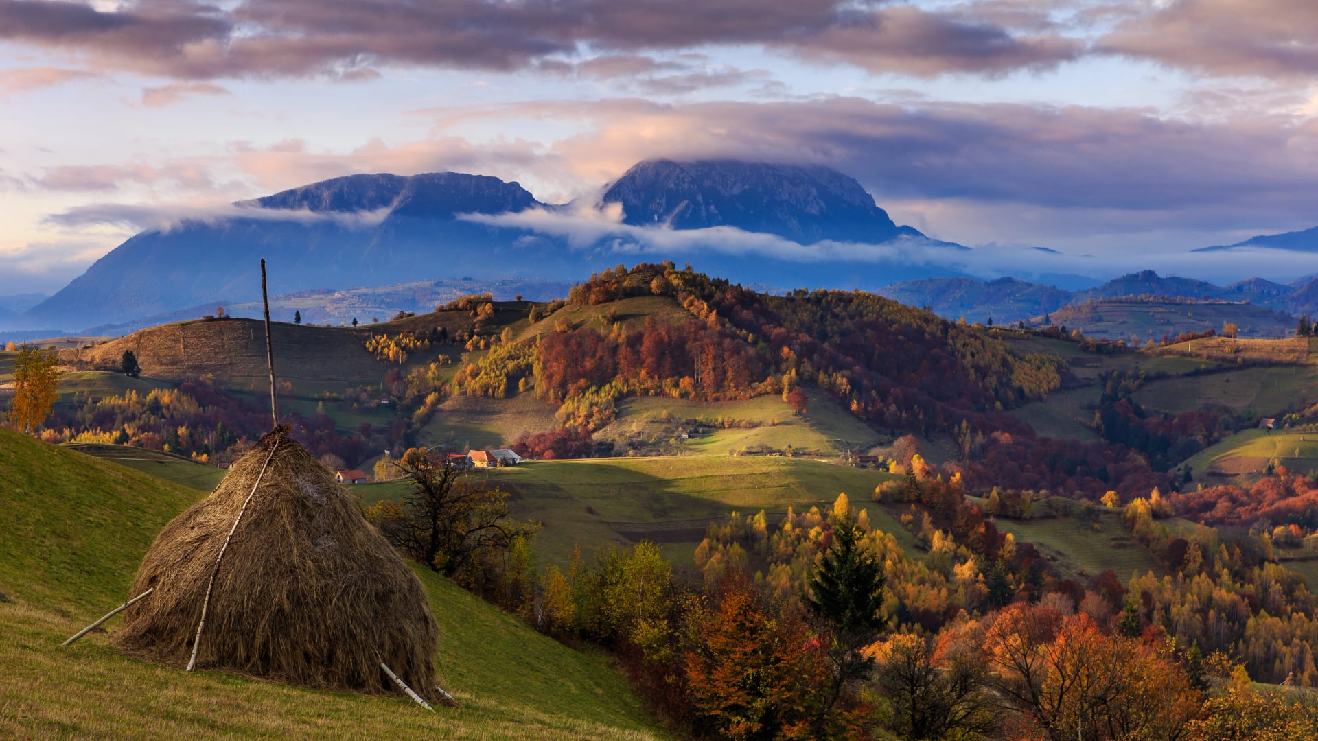
The Via Transilvanica has a longer usable season than most Romanian trails because it stays below 1,500 meters for its entire length. The reliable window is April to October, with the shoulder months on either side being the best.
April–May
The best months for the Terra Saxonum stretch. Wildflowers peak in the meadows, temperatures sit in the high teens, and rain is usually manageable. Book accommodation early — this is high season.
June
Warm and long-day, still comfortable for walking. Bukovina at its greenest.
July–August
Hot on the Saxon plateau, regularly above 30°C in the afternoons. The northern and mountain regions stay cooler. Start early or plan short stages.
September
The best all-round month. The harvest is on in the villages, the trails are quieter, and the light softens through the beech forests.
October
Still walkable everywhere except the highest passes in Bukovina. Autumn colors are at their peak; expect the first cool nights.
November–March
Off-season. Most village guesthouses close, and cold and snow make the walking impractical.
For accurate forecasts, the Romanian National Meteorological Administration (ANM) publishes location-specific forecasts down to village level.
The Experience of the Trail
Waymarking
The Via Transilvanica has one of the best-documented waymarking systems on any European long-distance trail. Every kilometer is marked by an orange T logo painted on trees, walls, or poles, plus a hand-carved andesite milestone that carries the kilometer number. Signage at road crossings is clear in both directions, and getting lost on a well-worn stretch is unusual.
The milestone artistry
Each of the 1,400+ stones is a small sculpture, hand-carved by a different artist as part of an ongoing public-art project the trail's founders commissioned. No two are alike. Some are dedicated to Romanian cultural figures, others to national parks, others to abstract themes — photographing them at each stop has become a tradition among through-walkers, and many walkers build daily pauses around specific stones.
Direction of travel and section jumps
The trail is fully bidirectional but the kilometer numbering runs north-to-south from Putna at km 0 to Drobeta-Turnu Severin at km 1,400. Most walkers travel that direction. The trail wasn't designed as an unbroken traverse for most walkers — moving between sections by train between Cluj-Napoca, Sighișoara, Alba Iulia, or Suceava is normal, and the route's own website lists section start-points reachable by rail.
Trail passport
Walkers can carry a Via Transilvanica passport that gets stamped at partner guesthouses and key stops along the route, similar in spirit to the Camino de Santiago's Pilgrim's Credencial. It's not required for booking, but many walkers pick one up at Putna, Sighișoara, or the Tășuleasa base camp in Bistrița Năsăud to record their progress.
Trail ethos
The Via Transilvanica was built to bring walkers into rural villages and to support the local economies that receive them. Every night on the trail is a village guesthouse night, and every meal is a village meal — there's no camping infrastructure and no wilderness-hiking intent to the route. Plan the walking style accordingly.
Cash on the trail
The Saxon and rural villages along the route are cash-only, and the Romanian leu is the currency. ATMs are in Sighișoara, Alba Iulia, Deva, and the larger county towns; between them, plan on carrying enough lei for two or three days of accommodation and meals.
For more information on general safety and preparation for hiking in Romania, see our Romania hiking guide. All the country-wide precautions apply on the trail.
Getting to the Trail
The trail crosses Romania diagonally, so where you start depends on which region you have picked rather than on a single gateway.
Flying in
Cluj-Napoca, Sibiu, Târgu Mureș and Bucharest all connect to western Europe. Suceava serves the northern end near Putna, and Timișoara the south-west. For a Terra Saxonum week, Sibiu and Târgu Mureș are the closest, with Cluj-Napoca the best served.
By rail
Sighișoara, Alba Iulia, Cluj-Napoca and Suceava sit on the main lines and are the usual points for joining or leaving the trail. Moving between sections this way is normal rather than a compromise, and the route's own website lists which section start-points are reachable by train.
The last miles
Most village trailheads are not on a railway. Guesthouses along the route will usually arrange a transfer from the nearest town if you ask when you book, and on a supported week those transfers are built in.
Choosing Your Via Transilvanica Walk
For most first-time walkers, the choice is between the Saxon-heartland Terra Saxonum week and something longer — either two connected regions, or the full-length attempt.
Our eight-day Castle Chronicles itinerary covers the Terra Saxonum stretch inn-to-inn, starting from Sibiu and finishing at Viscri, with six walking days of 10 to 17.5 km that suit walkers new to Romania.
It is self-guided — accommodation, luggage transfers between villages, a digital guidebook with the T-logo waymarking notes, and phone or WhatsApp support are all handled for you. For a different experience of Transylvania, our Transylvania Secrets Hike may be the right choice for you. If you're weighing the trail against Romania's alpine ranges, our Romania walking guide covers the country's four main hiking regions.
Have more questions? Get in touch with our team — we'll help match a stretch of the trail to your dates, fitness, and what you're after.

About this author
Ajda is our travel advisor, raised in a village surrounded by mountain peaks. Hiking entered her life early on and remains her favorite way to reconnect with nature.







.jpg&w=828&q=75)





















































.jpg&w=828&q=75)























