W Trek Patagonia: Know Before You Go
The W is four walking days through three valleys, and the park will not let you start it without a bed booked for every night.

Ajda
Published October 2, 2026
Edited October 2, 2026
14 min read
Quick links
Don't want to read all this?
We've planned 2,000+ hiking trips. Send your dates, fitness and group size — we'll map the route and book every night.



Quick Links
In numbers · Why the W · Day by day · How hard it is · Which direction · Booking · Where you sleep · The O instead · Months that work · Know before you arrive · Our trek · FAQ
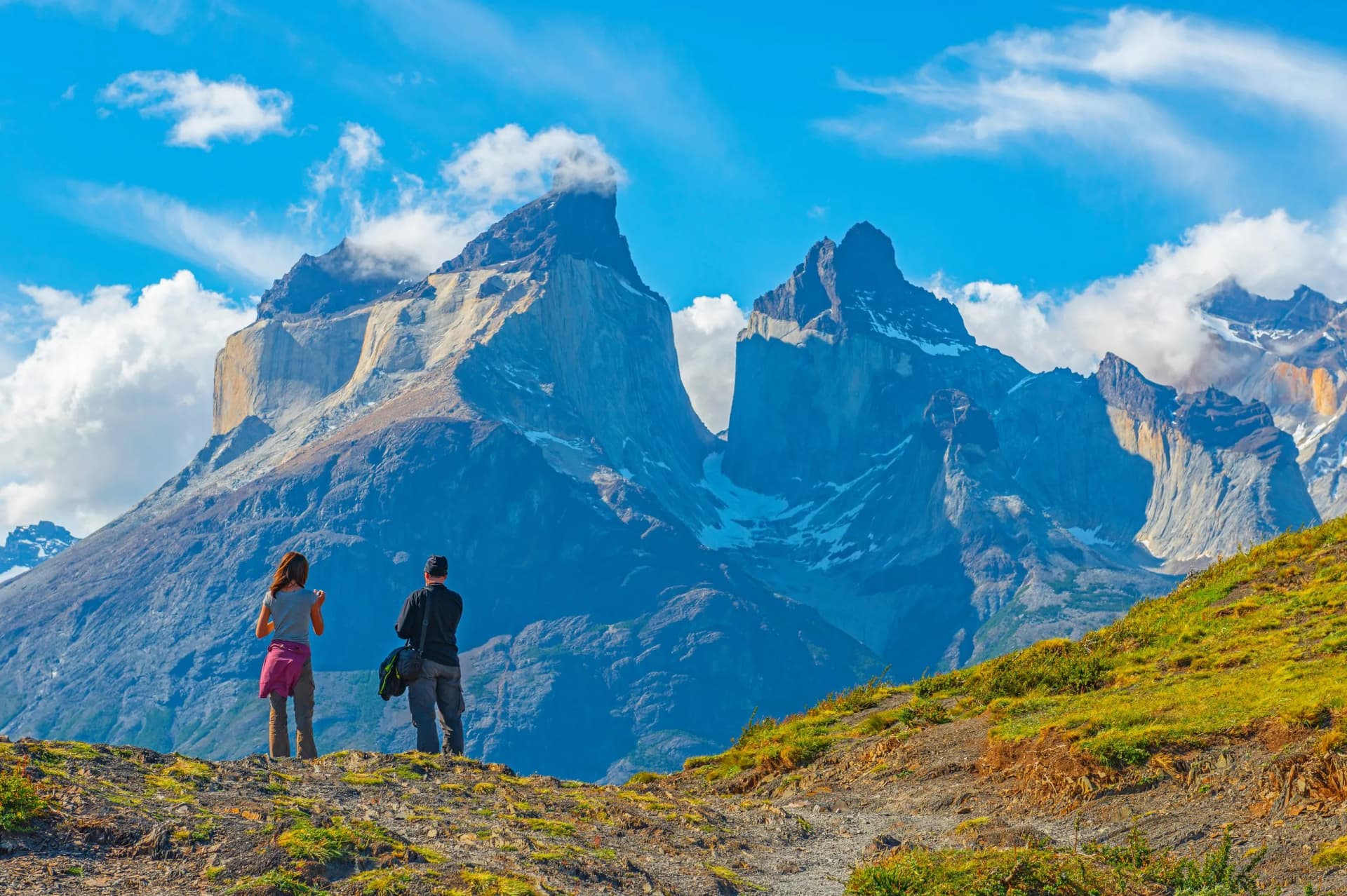
The W trek is a four-day walk through three valleys on the southern side of the Paine massif, inside Torres del Paine National Park in Chilean Patagonia. The route traces a rough letter W across the map, which is where the name came from. The park's own figure for it is three to five days.
Published figures for the W vary widely, because most of them describe one person's particular week rather than a measured route. Elevation totals in circulation range from about 8,000 to 13,000 feet. A range that wide is not something you can plan against.
This page carries the figures our own trips are built on, day by day, and the park rules that decide whether you get onto the trail at all.
The W Trek in Numbers
Length: 67 km (42 miles), summed from our published stages
Elevation gain: about 2,570 m (8,430 ft), against 2,650 m (8,690 ft) of descent
Duration: 3 to 5 days of walking, 7 days door to door on our own trip
Best time: September to April
Difficulty: moderate, 3 of 5 for fitness and 3 of 5 for technical ground
Route: Torre Central to Grey, point to point, walked east to west
Hardest day: the towers, 20 km (12 miles) with 1,150 m (3,770 ft) of climb
Booking: every night reserved in advance, with no daily cap on the route
The duration is the park's own figure and the distances are the published stages of our itinerary, rather than a guidebook estimate. The row to act on first is the booking, because the beds run out long before the season does.
The map
Why It Is Called the W
The park sits in the Magallanes region at the southern end of Chile, close to the Argentine border and a long way from anywhere else, in the stretch of Patagonia shared between Chile and Argentina. Punta Arenas is the airport and Puerto Natales is the last town before the park gate.
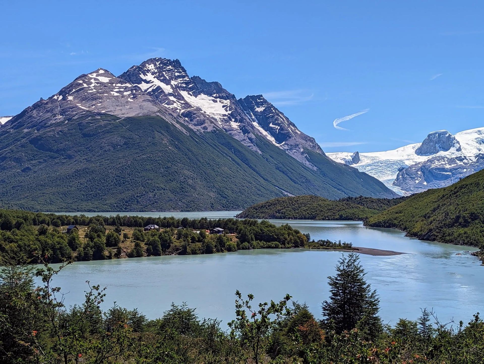
Three valleys run north off the shore of Lake Nordenskjold, and the W is those three valleys joined by the trail that runs along the water between them. The eastern arm climbs the Ascencio valley to the towers themselves, the middle arm goes up the French Valley, and the western arm ends at the face of Grey Glacier. The three arms and the shore between them draw a W.
The shape matters for a reason nobody mentions until you are standing at a bus stop. This is a point-to-point route, not a loop, so you finish a long way from where you began and the transport at each end is a separate problem to solve.
Names vary more than they should. Some operators sell it as the W circuit Torres del Paine, which is a contradiction given it does not close on itself, and park signage uses sector names rather than a letter. A signpost will point to Paine Grande, never to the W.
W Trek Patagonia, Day by Day
These are the published stages from our own W trek itinerary, one line per walking day, with the ascent and the descent for each of them rather than a single total lifted from a guidebook:
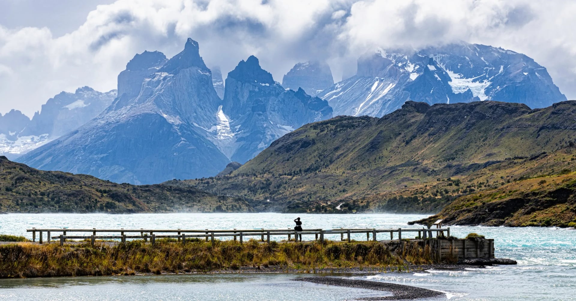
The towers day is the hardest on the route, at 20 km with 1,150 m of climb and the same again coming down, out and back from Torre Central
Nordenskjold shore to Los Cuernos is the day your legs recover, 12 km with 270 m of ascent and 320 m of descent
French Valley is the long one, 24 km with 820 m up and 860 m down, finishing on the shore of Lake Pehoe at Paine Grande
Grey Glacier closes the walking short and nearly flat, 11 km with 330 m of climb and 320 m of descent
That totals 67 km with about 2,570 m of ascent and 2,650 m of descent across four days. Every night on the route is spent near lake level, which is why those two totals sit so close together and why there is no single high pass to cross.
A single figure for the whole route tells you nothing about which day will hurt. Most of the week is gentler than people expect, and one day of it is not.
How Hard the W Really Is
We rate the trip 3 of 5 for fitness and 3 of 5 for technical ground, which puts it a full step below the O circuit on fitness. Nothing on the W needs a rope, a helmet or any scrambling, and in season the trail is boots and poles from end to end.
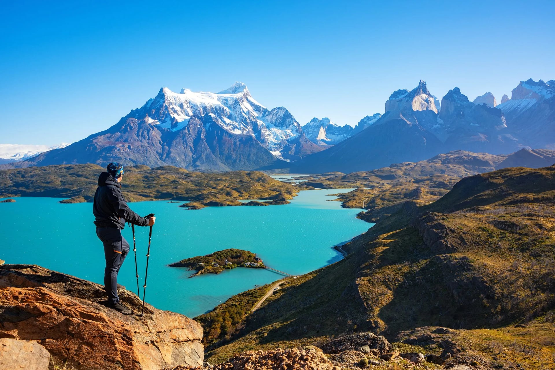
The difficulty is concentrated almost entirely in one day. The climb to the towers viewpoint is 1,150 m of ascent and an identical descent inside a single day, and the last stretch is a boulder field that people consistently underestimate because it looks close. The park puts the towers round trip at eight hours, which is the honest measure of it.
Descent is what ends most weeks early here, not climbing. You lose 2,650 m over four days and almost half of that comes down in one afternoon off the towers, so poles matter more on this route than fitness does. If you are training for it, train the downhills.
Then there is the wind, which is the variable no training plan covers. It is strongest in December and January, it arrives across open lake shore with nothing to break it, and it turns an easy 12 km day into a long one. Wind, not gradient, is what makes a short day feel long.
Which Direction to Walk
The W can be walked either way, and almost every guide presents this as a matter of taste. It is not. Direction decides where the 1,150 m day lands in your week, and that is the single biggest choice you make about how the trek feels.
Our own W trek itinerary runs east to west, starting at Torre Central and finishing at Grey. The hardest day comes first, on fresh legs, and each following day is shorter and flatter than the one before it.
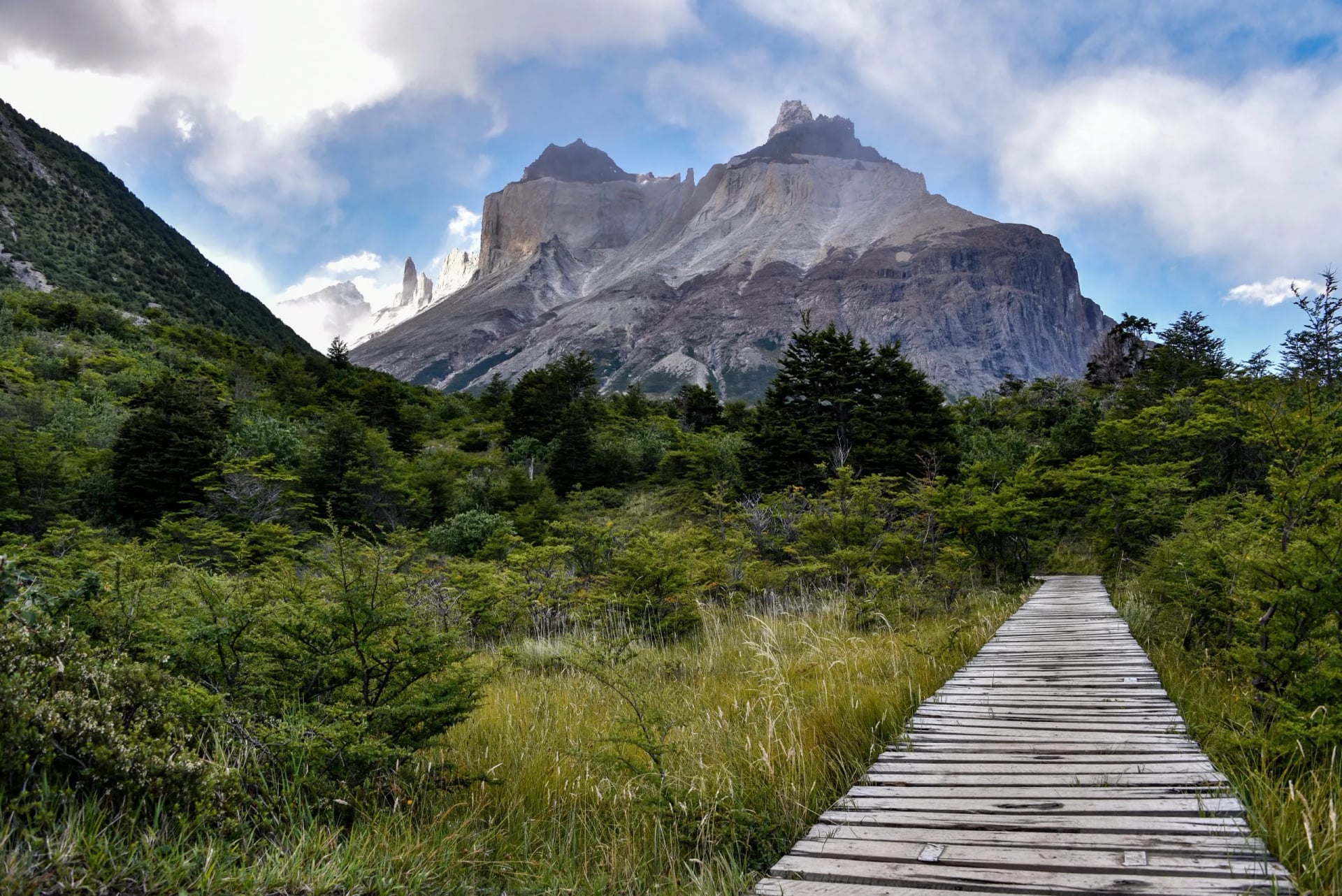
Walking west to east reverses that, so you build into the towers day with three days of trail behind you and finish on the route's highest point. Plenty of people prefer it, and the argument for it is real: you reach the towers already used to the daily distances. The argument against is that you reach them tired.
There is a practical consequence too. Finishing in the west means leaving by water rather than by road, and our trip includes a one-way boat on Lake Grey to get out. A boat exit is a fixed departure time, not a trail you can walk slowly.
Booking Is the Hard Part
The terrain is not what stops people walking the W. The booking is. The park is explicit that anyone doing the W or the Macizo Paine circuit must reserve their accommodation in advance, and there is no walk-up option and no wild camping fallback.
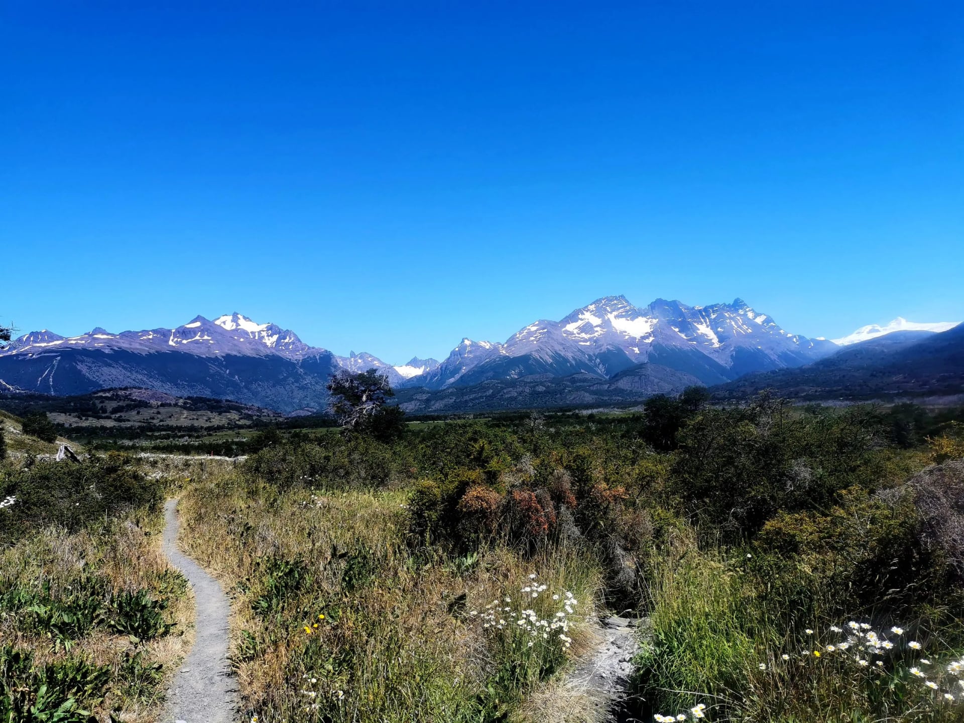
The awkward part is that the beds are not sold in one place. Two concessionaires split the route between them, Las Torres Patagonia and Vertice Patagonia, and both have to agree on your dates or the chain breaks on one missing night. Park entry is then a separate transaction again, bought online before you arrive.
There is one exemption worth knowing, because it is the source of most of the confusion online. The reservation rule does not apply to people entering for the day, such as the Base Torres walk, nor to the campsites on the roadside. A day walk to the towers needs no reservation at all, which is why you will read that the park is open access.
One more thing to clear up. After the November 2025 storm on the far side of the massif, CONAF set a maximum of 100 people a day on the O circuit, along with one-way walking and mandatory registration. That cap applies to the O circuit and not to the W. The W's constraint is bed availability, which bites earlier in the year than any cap would.
This is the part of the W that goes wrong most often, and it goes wrong months before anyone starts walking. Our W trek trip exists largely to take it off your hands, because the beds and the park ticket are bought before you fly.
Where You Sleep
The W trek refugios are the reason this route suits people who would not consider a remote trek. These are staffed buildings with bunk rooms, hot showers, a dining room and a kitchen, not shelters. You carry a day pack, not a full expedition load.
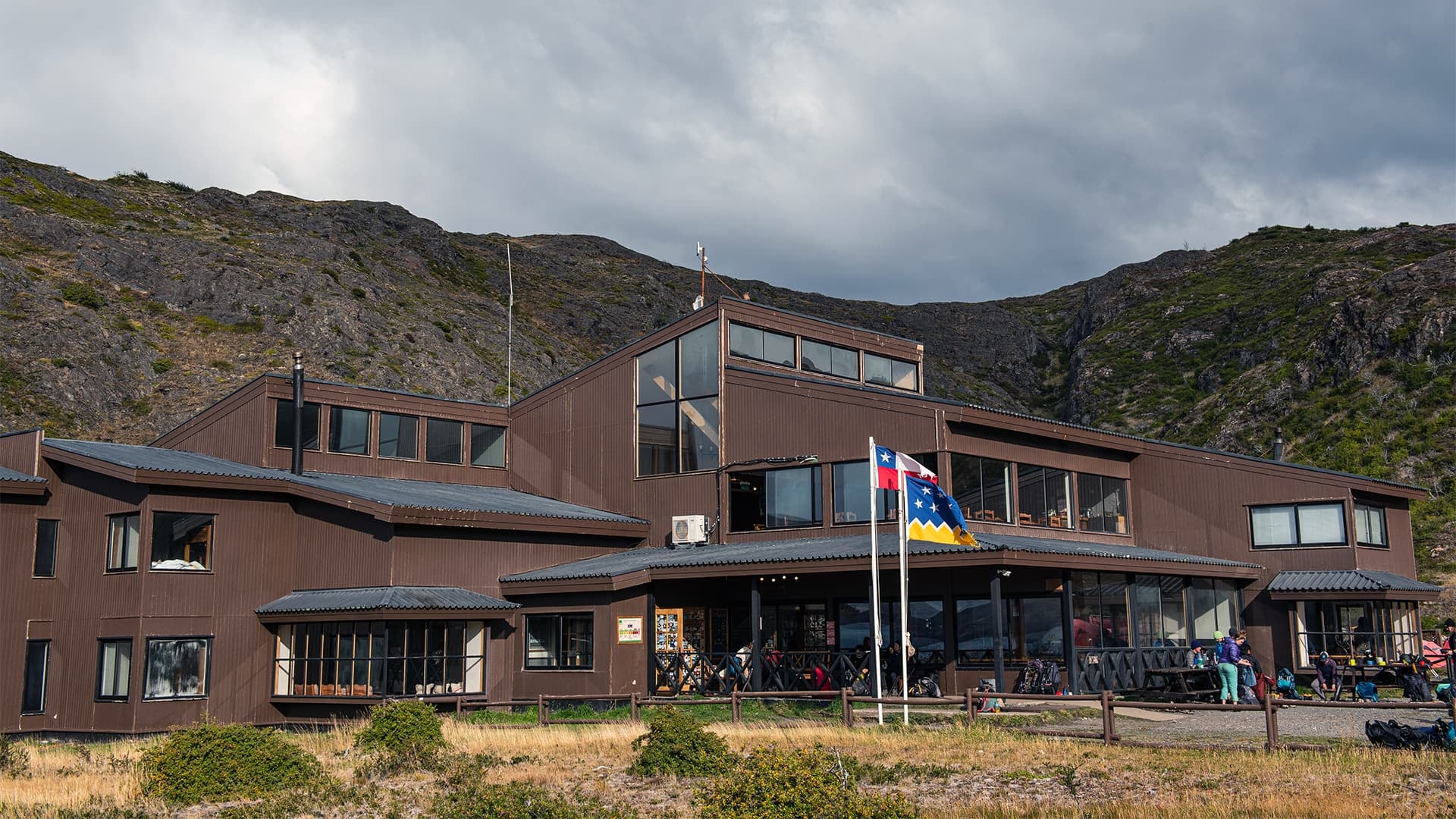
Most refuges also run a campsite alongside, and the price ladder runs from your own tent on a platform, through a pre-pitched tent with a mattress, to a bed indoors with meals included. The catch is that the cheaper tiers go just as fast as the beds. Camping does not rescue a late booking.
Our trip uses four of them in sequence: Torre Central below the towers, Los Cuernos on the Nordenskjold shore, Paine Grande on Lake Pehoe, and Camp Grey at the western end. Full board matters more than comfort here, because carrying four days of food would change the walking entirely.
Should You Do the O Instead
The O trek vs W trek question is worth ten minutes before you book, because the two trips are less similar than the map suggests. The O is the complete lap of the massif and its southern half is this exact route, walked as one line. The O adds a remote northern section the W never touches.
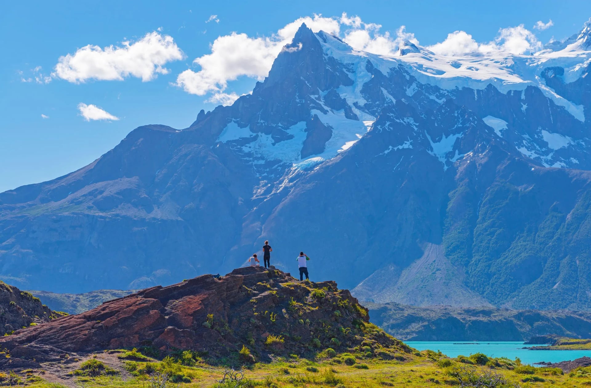
The numbers split cleanly. The W is four walking days, 67 km and about 2,570 m of ascent. The O circuit is seven walking days, 135 km and roughly 5,700 m, with a 1,200 m pass in the middle of it. The O is not a harder W, it is the W with three remote days bolted on the front.
Take the W if you have a week rather than a fortnight, if this is a first multi-day trek, or if a cooked dinner at the end of every stage is part of why you are going. Season decides it for a lot of people anyway, because the W's walkable window is months longer than the O's.
Months That Actually Work
Our own trips run from September through to April, which is a wider window than the O circuit gets, and the refuges along the route open and close on roughly that pattern each year. The exact dates are set by the concessionaires rather than fixed by the calendar, so a September or April departure is worth confirming before flights.
Inside the season the trade is wind against daylight. December and January bring the longest days and the fiercest wind, while the shoulder months are calmer and far quieter at the cost of shorter days and colder nights. Patagonia earns its reputation for weather that turns fast, in any month you pick.
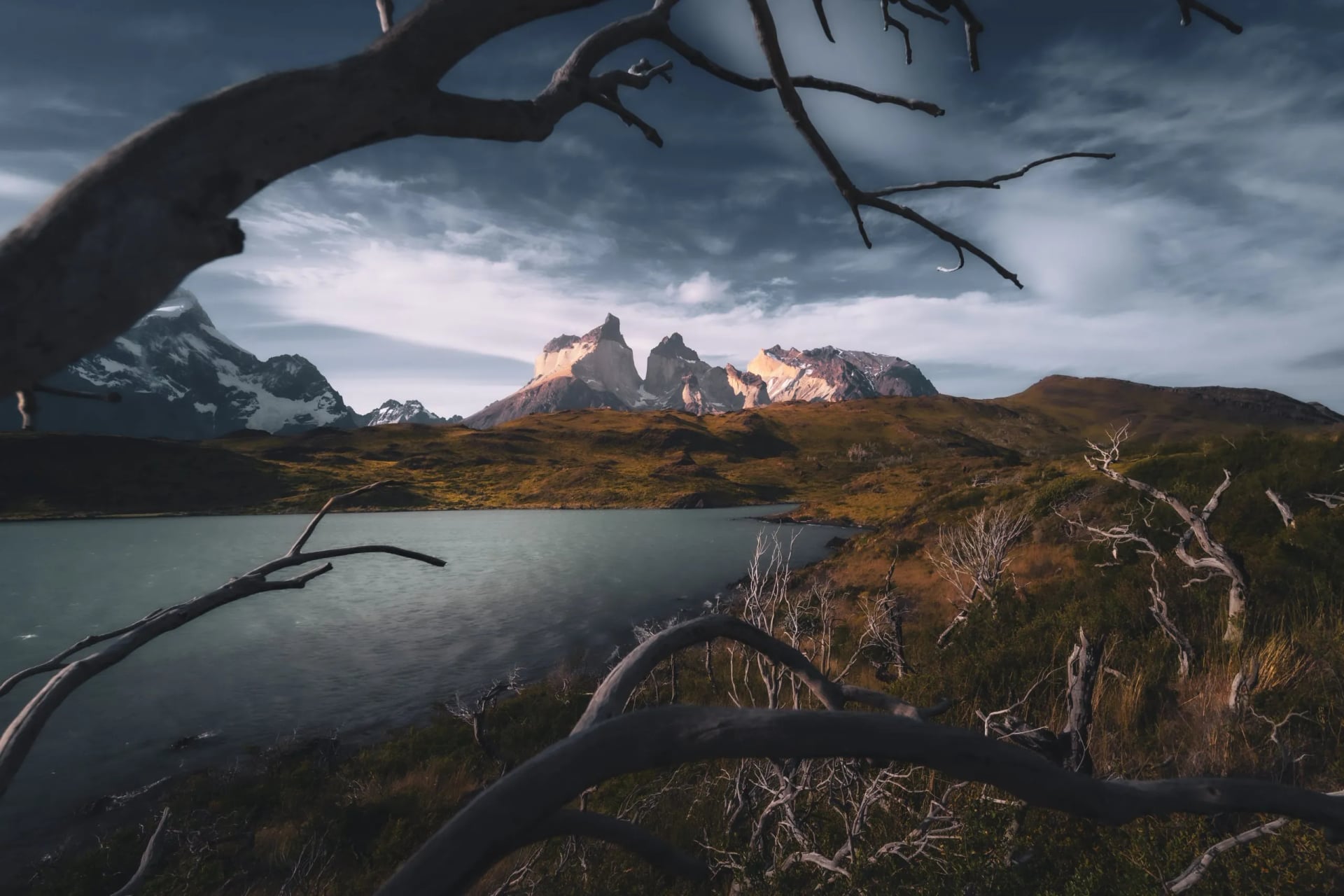
Outside it, the park does not simply close. The Base Torres walk stays open through winter with real conditions attached: the park sets a 09:00 entry deadline and a 15:00 exit, requires an accredited guide, and expects micro-crampons and poles on trails carrying 20 to 30 cm of snow or more. In winter the towers walk is guided or it does not happen.
Know Before You Arrive
Registration is compulsory. You must register on arrival at every ranger station you pass. It is the mechanism that tells anyone to look for you, not a formality.
Buy park entry before you fly. Tickets come from CONAF's ticket platform online rather than at the gate. Carry the confirmation on paper as well as on your phone.
There is no signal on the interior trails. No mobile and no internet, for the whole route. A printed W trek map earns its place in the lid of the pack, and a downloaded GPS track earns its place on the phone.

Stay on the marked path. The park states plainly that almost every fatal accident happens off the authorized trails, and that leaving them is dangerous rather than adventurous. The rest of the mountain safety basics apply here as they do anywhere.
Do not cross a river above knee height. Meltwater rises through the afternoon, so a crossing that looked fine in the morning is a different proposition at four o'clock.
Water, money and language. Stream water on the route is generally drinkable, so weight goes into layers rather than liters. Spanish is the working language of the park and its staff, English is widely spoken in Puerto Natales, and cash is worth carrying for the refuges, because there is no signal on the interior trails to fall back on.
Our W Trek
Our version is self-guided and hut-to-hut, with the beds reserved, the park entry bought and the route loaded onto your phone before you arrive. The full trip list carries current dates. The figures below are our published ones, not estimates.
Patagonia W Trek Tour
Days: 7 days, 6 nights, Puerto Natales to Puerto Natales
Walking: 4 days, 67 km, about 2,570 m of ascent
Hardest day: 20 km and 1,150 m to the towers viewpoint
Direction: east to west, finishing at Grey
Season: September to April
Fitness: 3 of 5, technical 3 of 5
Two nights sit in a hotel in Puerto Natales at either end, and the four walking nights are spent in the refuges on the route. What people book as the Torres del Paine W trek is really this: four days of walking wrapped in two days of logistics, and the logistics are the part worth handing over.
Frequently Asked Questions
How difficult is the W trek in Patagonia?
Moderate, with one hard day in it. Nothing is technical and no equipment beyond boots and poles is needed in season, but the towers day asks for 1,150 m of ascent and the same in descent, and the park allows eight hours for it. We rate the trip 3 of 5 for fitness.
How long is the W trek?
The park's own figure for the W route is three to five days of walking. Our trip runs seven days door to door from Puerto Natales, of which four are walking days covering 67 km.
Is the W trek worth the money?
It is the one route in the park that reaches all three of its signature sights, the towers, the French Valley and Grey Glacier, in a single week. You are paying for beds and food carried in, which is what makes four days at this standard possible without a full pack.
Where is Patagonia's W trek?
In Torres del Paine National Park, in the Magallanes region of southern Chile, near the Argentine border. Fly to Punta Arenas, then travel on to Puerto Natales, which is the last town before the park gate.
Can you walk the W trek self guided?
Yes, and in season that is how most people do it. A guide is only compulsory in the winter period. What is compulsory all year is having every night reserved before you enter the park, which is the part most worth handing to someone else.

About this author
Ajda is our travel advisor, raised in a village surrounded by mountain peaks. Hiking entered her life early on and remains her favorite way to reconnect with nature.













.jpg&w=828&q=75)




















































.jpg&w=828&q=75)























