GR11 Trail: Hiking the Full Length of the Spanish Pyrenees
The GR11 runs sea to sea across the Spanish Pyrenees, 824 km and 40,000 metres of climbing. Which section to walk, when to go, and how the hut booking works.

Suzana
Published September 21, 2026
Edited September 23, 2026
25 min read
Quick links
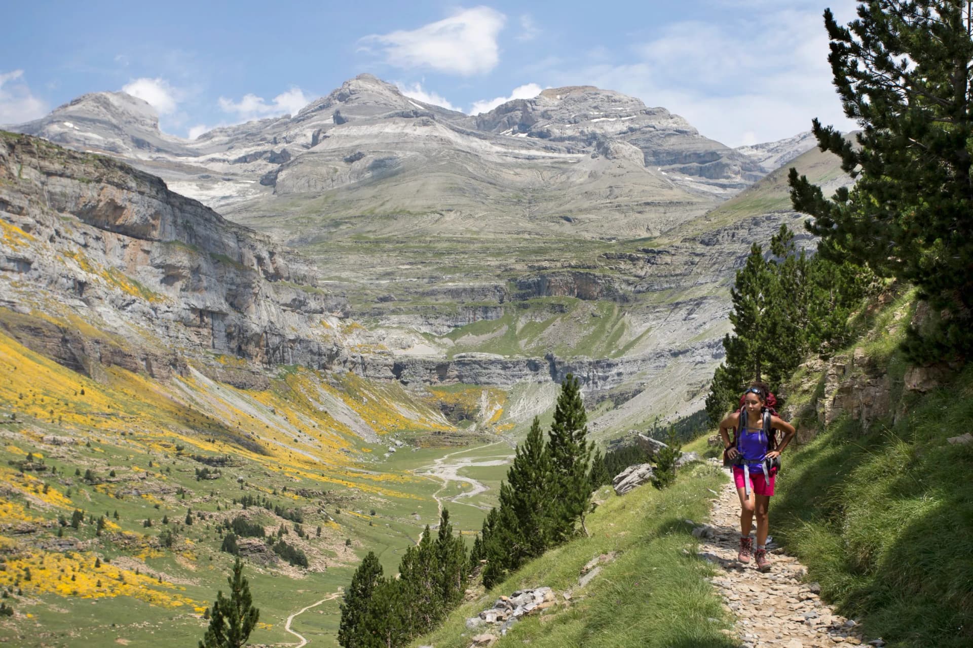
Somewhere above the Refugio de Respomuso, about two hours into the climb, the grass runs out and the path turns to scree. The last fifty metres to the Collado de Tebarray tilt to roughly forty degrees, there is a cable bolted into the rock, and the snow here can last into mid-August. On the far side, the bulk of the Vignemale sits on the skyline ahead. This is stage fourteen of forty-six, and it is a fair summary of what the GR11 trail asks of you.
The GR11, or La Senda Pirenaica, runs the length of the Spanish Pyrenees from the Bay of Biscay to the Mediterranean. It is the southern sibling of the French GR10, the lower-altitude alternative to the Haute Randonnée Pyrénéenne, and the quieter of the two waymarked traverses. The GR11 also has a reputation for being harder than people expect, longer than the guidebooks agree on, and thinner on villages than its French counterpart.
Our wider guide to hiking in the Pyrenees sets all three alongside the shorter circuits and day walks, and our guide to hiking in Spain places the range among the country's other walking regions.
This guide covers what the route actually consists of, section by section, how long it takes, where you sleep and how the booking works, and the specific things that catch people out on the Spanish side. It is the hardest of the long walks we run in Spain, and the one that repays the most planning.
How Long Is the GR11 Trail?
Search for the length of the GR11 and you will get 800 km, 820 km, 840 km and 850 km, along with stage counts of 43, 46 and 47 and durations from 40 days to eight weeks. This is not sloppiness. It is four separate variables, and knowing which one you are looking at makes the rest of your planning coherent.
Where the trail starts. Cicerone's guidebook begins at Irún, an inland town on the Bidasoa. Spanish sources begin at Cabo Higuer, the actual headland, and treat Cabo Higuer to Irún via Hondarribia as a 9.2 km prologue. That alone moves the total.
Which variants you count. The GR11 carries a family of officially waymarked alternatives: GR11.1, GR11.2, GR11.3, GR11.4, GR11.5, GR11.9, GR11.18 and others. Some are shortcuts, some are higher and harder, and some are historic. A former variant ran up the Canal de Izas, and an older Aguas Tuertas to Candanchú stage has since been de-homologated. Cicerone folds several in as lettered stages, which is part of why it reaches 47 where Spanish stage tables reach 46.
Which stage table you use. Adding up the 46 standard stages published by Travesía Pirenaica gives 824.4 km and roughly 40,300 m of ascent. Cicerone's round figure is 850 km. Editorial Alpina's map set splits the route into 43 stages. All three describe the same trail.
How fast you walk. Forty-six stages does not mean forty-six days. Most people take rest days, and several stages are short enough to combine.
For planning purposes: budget six to seven weeks for the full traverse, treat 820 to 850 km as the honest range, and expect around 40,000 m of climbing. That last number is the one that matters. Cicerone rates the GR11 at the upper end of walking difficulty, on passes it describes as reaching about 2,700 m over rough, steep ground.
The Route, Section by Section
The GR11 is not one landscape. It crosses four jurisdictions and three climatic zones, and the difference between its first week and its third is the difference between two different holidays. The section figures below are calculated from the published standard stages.
Basque Country and Navarre
Stages: 1 to 7
Route: Cabo Higuer to Isaba
Distance: 156.6 km
Ascent: 5,940 m
The trail starts at a lighthouse on the Atlantic and spends its first week in green, humid, low country. Beech and oak woods, farm tracks, stone bridges, and villages close enough together that you sleep in one most nights. Stage 1 is the longest on the whole route at 31.6 km and stage 2 is close behind at 29.6 km, but the passes are low and the walking is honest rather than technical.
Two things surprise people here. The humidity is Atlantic, not Mediterranean, so waterproofs earn their place in the first week rather than the third. And the place names arrive in pairs, Bera and Vera de Bidasoa, Burguete and Auritz, Ochagavía and Otsagabia, because Basque and Spanish names are both in official use. Signposts may carry either.
The Western Valleys
Stages: 8 to 11
Route: Isaba to Candanchú
Distance: 59.8 km
Ascent: 3,410 m
A short, steep transition into Aragón, and the point where the trail commits to the mountains. Stage 8 is a gentle 11.2 km, and stage 9 immediately follows it with 1,170 m of climbing to the high pastures of Aguas Tuertas. Zuriza and Lizara give you staffed refuges rather than village hotels for the first time.
This is limestone country, riddled and drained, and it is also the corridor where wildfire risk bites hardest in a dry summer. Aragonese authorities have cancelled mountain events in the Hecho and Ansó valleys outright when the municipal fire alert goes red.
Aragón's High Heart
Stages: 12 to 22
Route: Candanchú to Conangles
Distance: 194.6 km
Ascent: 10,900 m
This is the GR11 that people come for, and it is where the route earns its grade. Eleven stages carry nearly 11,000 m of ascent, and the trail spends most of it above the treeline.
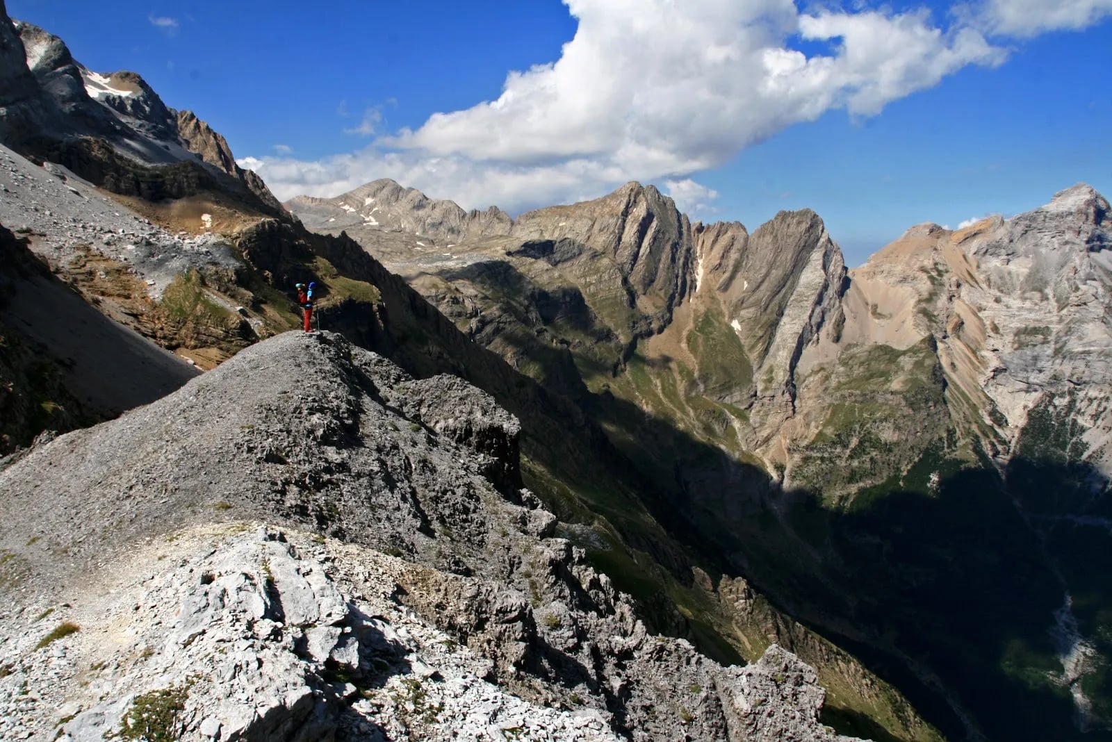
Stage 14 crosses the Collado de Tebarray at 2,771 m, reached over scree and old snow with a fixed cable on the final pitch. On the far side the path skirts the Ibón de Tebarray, crosses the Cuello de l'Infierno at 2,721 m beneath the 3,082 m Picos del Infierno, and drops past the Ibones Azules towards Bachimaña. At 2,212 m there is a signed junction where the GR-T 24 transversal links the GR11 to the GR10 over the Puerto de Marcadau, which is the neatest bail-out or crossover point on the route.
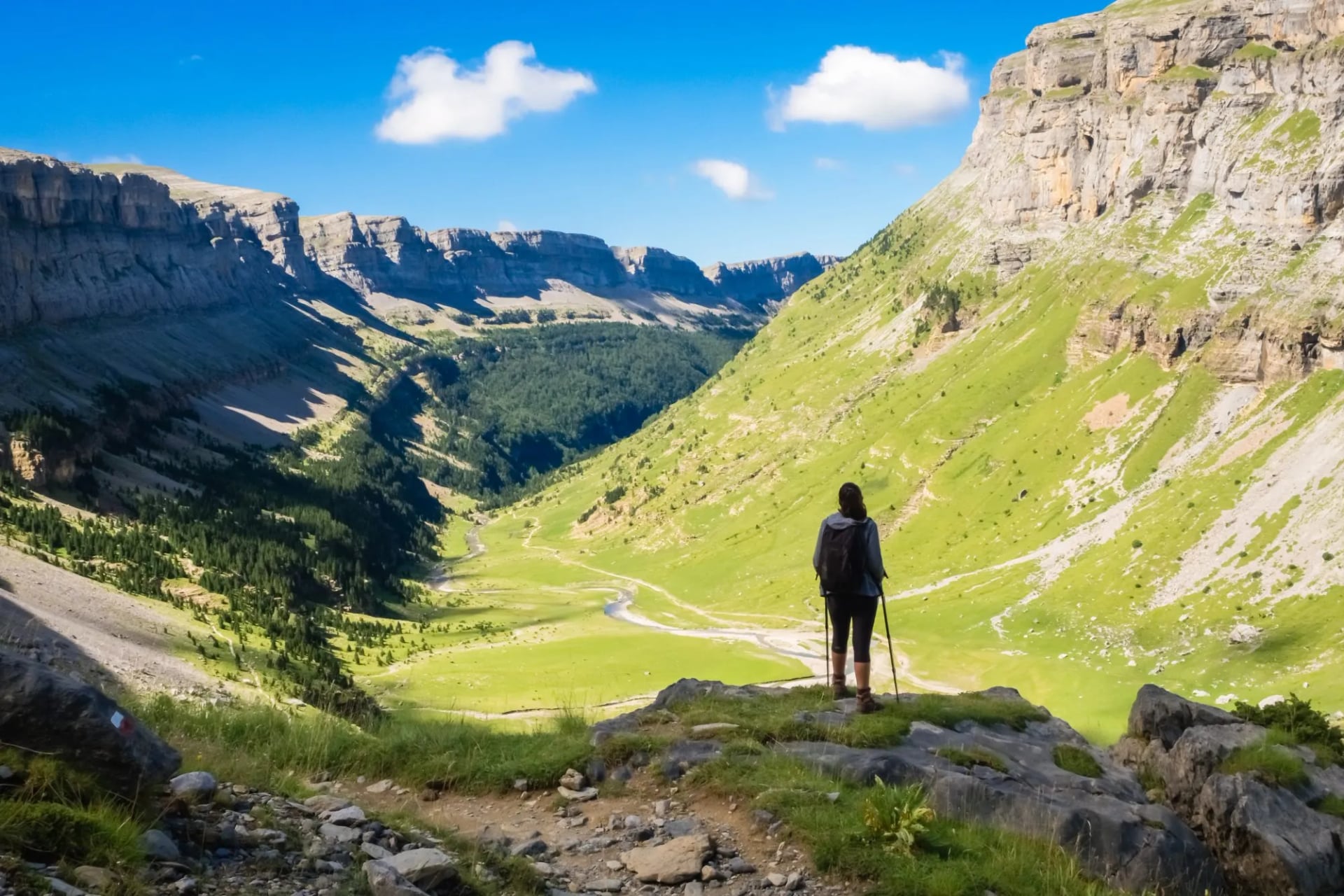
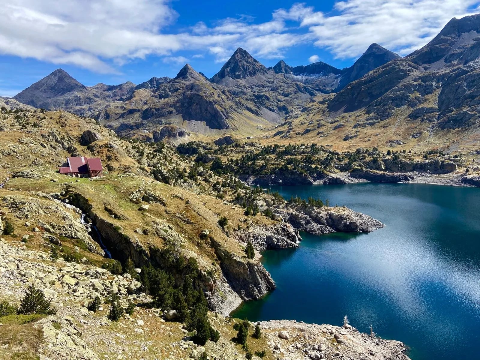
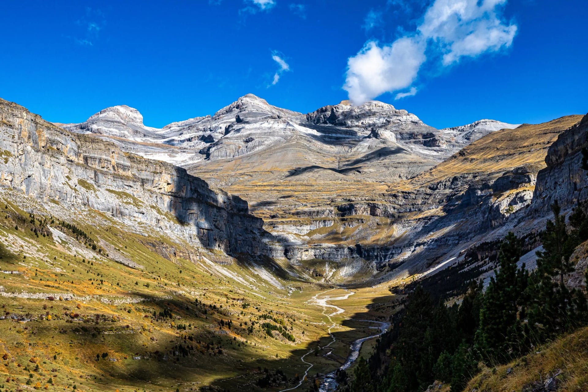
Stage 16 climbs to the Refugio de Góriz below Monte Perdido; stage 17 drops 1,863 m from Góriz to Pineta, the biggest descent anywhere in Aragón. In between, the route passes through Ordesa y Monte Perdido National Park, where access rules and bivouac restrictions are tighter than anywhere else on the GR11. Further east the trail threads the Posets-Maladeta massif, and stage 21 climbs 1,500 m to the Cap de Llauset refuge, which sits directly on the route.
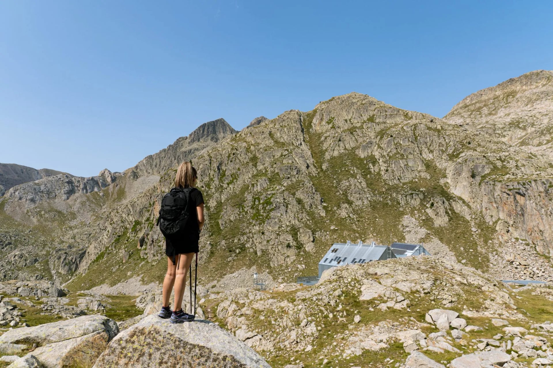
If you have one section in you rather than the whole trail, this is the one. Our GR11 Highlights itinerary covers exactly this stretch, hut to hut from Sallent de Gállego to Conangles, with the refuge bookings and transfers arranged.
Val d'Aran and Aigüestortes
Stages: 23 to 26
Route: Conangles to La Guingueta
Distance: 49.4 km
Ascent: 2,360 m
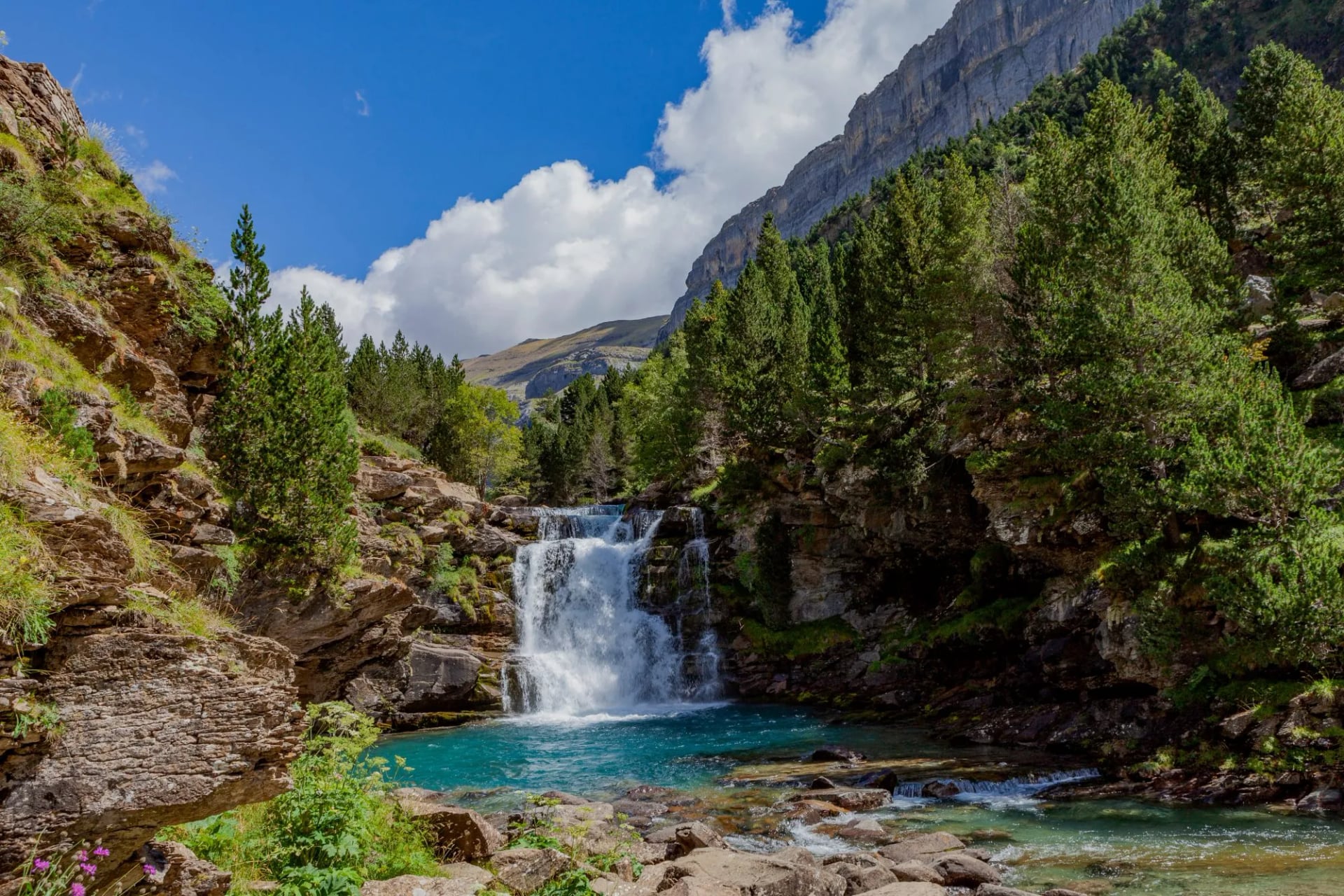
Four short stages, granite instead of limestone, and lakes everywhere. Stage 24 is the shortest on the route at 7.5 km. The trail runs Restanca to Colomèrs to Ernest Mallafré, which means it shares ground with the Aigüestortes hut circuit. If these names are familiar it is because they also appear on the Carros de Foc loop.
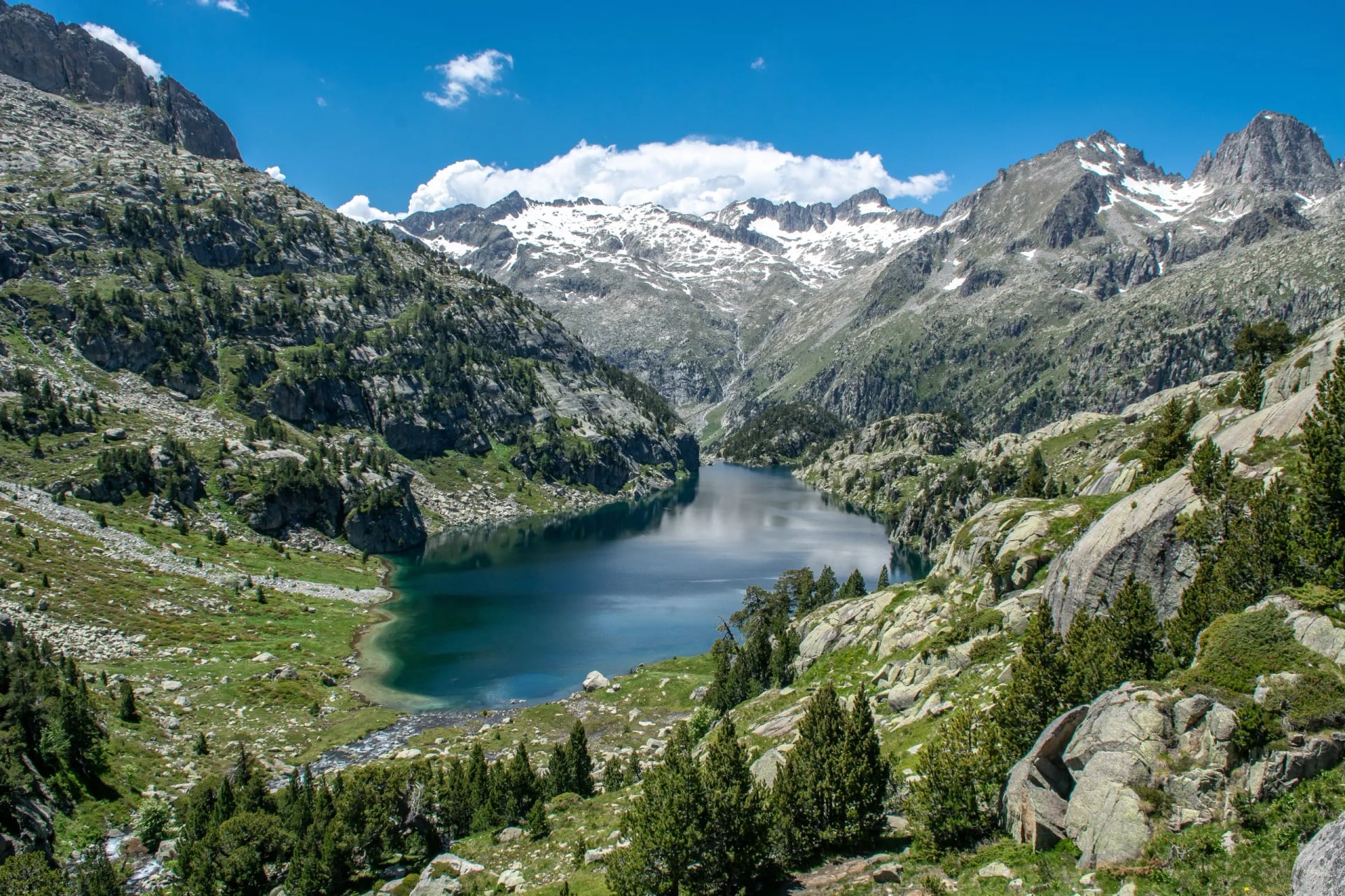
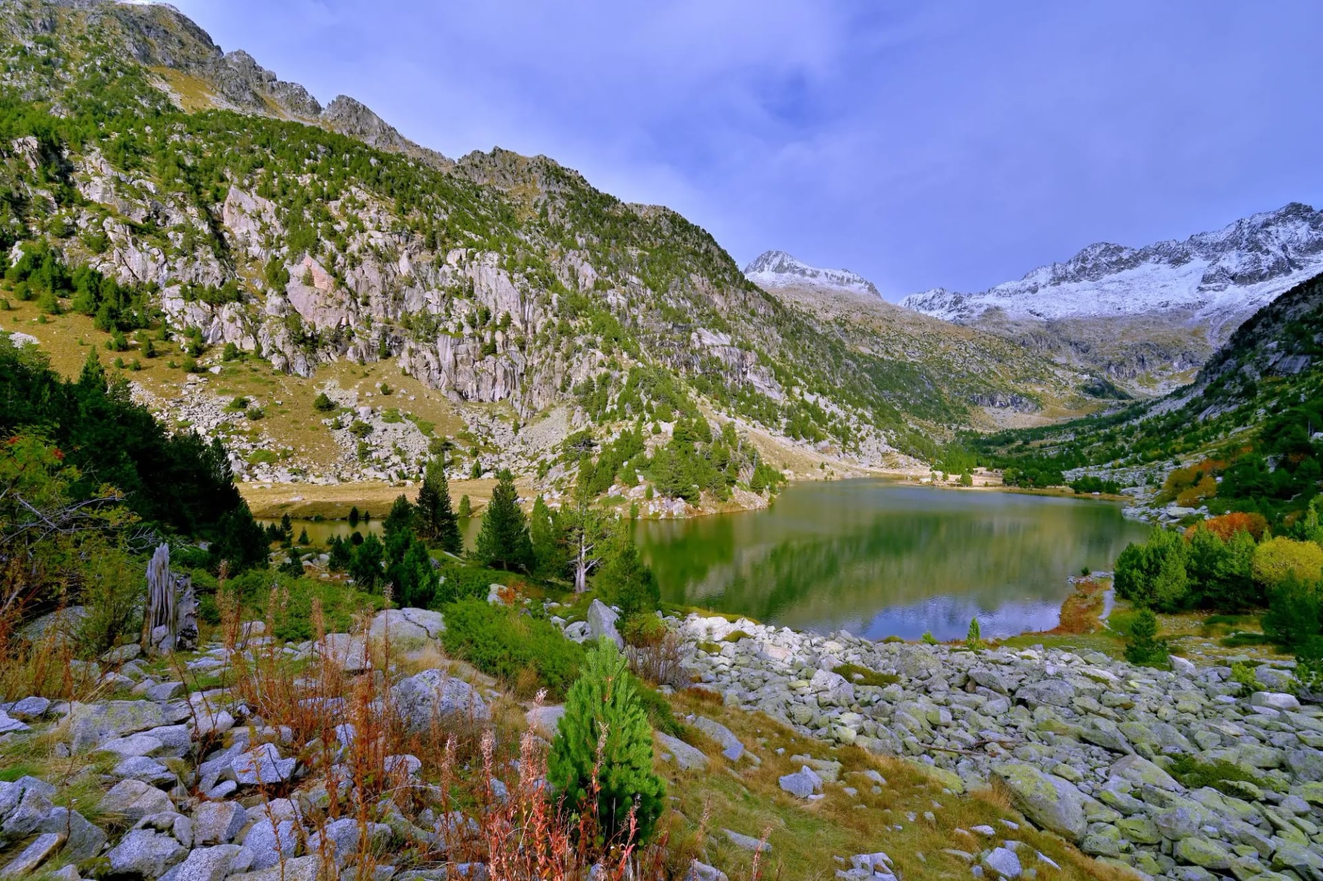
The catch is regulatory rather than physical. Inside Aigüestortes i Estany de Sant Maurici National Park and its peripheral protection zone, sleeping anywhere other than a refuge is not permitted. No camping, no bivouac, no exceptions. Plan these four stages around beds.
Pallars and Andorra
Stages: 27 to 35
Route: La Guingueta to Puigcerdà
Distance: 129.6 km
Ascent: 8,670 m
The forgotten section, and the one with the sharpest daily profiles: stage 27 climbs 1,290 m in 11.6 km, stage 30 climbs 1,345 m, and stage 31 loses 1,920 m, the biggest single descent on the whole trail. The trail crosses into Andorra over the Port de Baiau, spends three full stages there, and drops back into Catalonia on the way to Puigcerdà.
Andorra needs its own paragraph, because almost no English-language GR11 guide mentions it. Andorra is not in the European Union and not in the Schengen area. It uses the euro under a monetary agreement with the EU, so your money works, but EU roaming rules do not apply, and your phone will switch to international rates for several days unless you plan around it. The country packs a lot of high trail into very little ground, and there is more on its refuges and peaks in our guide to hiking in Andorra.
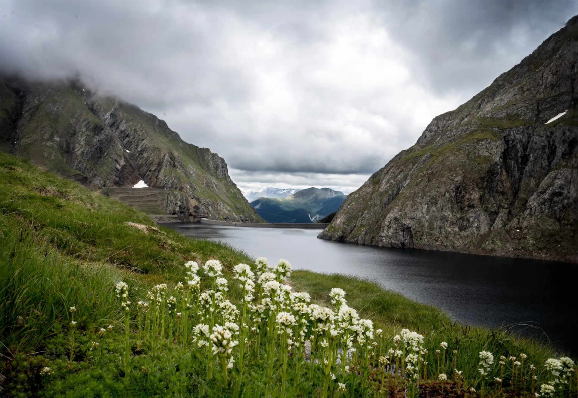
The Refugi de Baiau at 2,517 m is worth flagging too. Plenty of itineraries list it as a stage end. Its owner, the Catalan federation, classes it as an emergency refuge, gives it six bunks and nine places at a push, with nothing but mattresses, blankets and an emergency radio, and explicitly prohibits its use for leisure. You are meant to enter it only if you are hurt or sheltering from weather. Do not build an itinerary around a night there.
Cerdanya to the Mediterranean
Stages: 36 to 46
Route: Puigcerdà to Cap de Creus
Distance: 234.4 km
Ascent: 9,055 m
The longest section by distance, and the one people underestimate because it is downhill on the map. It is not. Stage 37 climbs 1,440 m to the sanctuary at Núria; stage 39 loses 1,670 m to Molló; stage 44 covers 31 km.
The character changes completely after Núria. Altitude falls away, the vegetation turns Mediterranean, the villages get older and closer together, and the last three stages run through the cork oak and vineyard country of the Empordà before finishing on the sea cliffs at Cap de Creus, where the range runs into the sea and the Camí de Ronda coastal paths begin. It is a long, hot, low-level finish rather than a high finale, and in high summer the heat is a real factor where the shade is not.
Which Section Should You Walk?
Almost nobody walks the GR11 in one go. The useful question is which fortnight or which week to walk, and the answer follows from the section figures above.
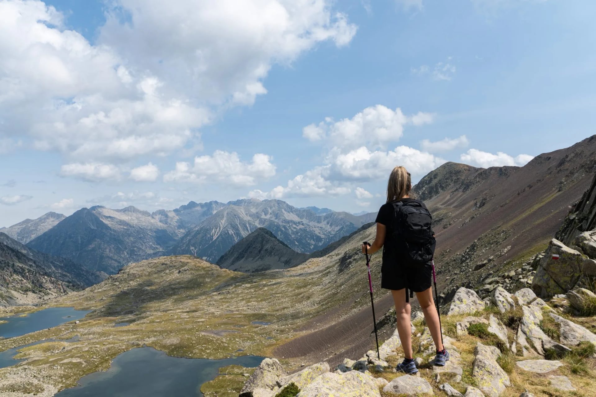
One week, first time in the Pyrenees: Val d'Aran and Aigüestortes, stages 23 to 26. Short days, dense refuge network, granite and lakes.
One week, wanting the classic high route: the Aragonese stretch around Ordesa, stages 15 to 18. This is the most photographed part of the trail and the most demanding to organise.
Two weeks, wanting the best of it: Candanchú to Conangles, stages 12 to 22. High, sustained, and the stretch our own itinerary picks up at Sallent de Gállego.
A fortnight without the altitude: Puigcerdà to Cap de Creus, stages 36 to 46, which works in late season when the high passes are already closing.
A gentle introduction: the Basque and Navarrese stages 1 to 7, walkable in spring and autumn when the central Pyrenees are out of season.
Getting to and from the GR11
The two ends of the GR11 are the easy part. San Sebastián Airport sits in Hondarribia itself, on the Bidasoa a few kilometres from Cabo Higuer, and Irún station four kilometres away carries RENFE and EuskoTren services on the Madrid line. Hendaye, five kilometres further and over the border, is the southern terminus of a French TGV line. Bilbao is the larger hub, about a hundred kilometres west.
The finish sits at the other end of the country. Cap de Creus is reached through Girona or Barcelona by way of Figueres, and the closing stages run through the Empordà rather than the mountains. The logistics at that end are coastal rather than alpine, which is one reason an eastern fortnight suits a late-season trip.
The middle of the range is where the planning happens. Canfranc-Estación is the railhead for the western Aragonese stages, on the line up from Zaragoza through Huesca, and it puts you a bus ride from Candanchú and the Tebarray country. At the eastern end of the high ground, Puigcerdà sits on the R3 line from Barcelona through Ripoll, which carries on over the border to Latour-de-Carol and into the French network. Between those two railheads there is no train at all.
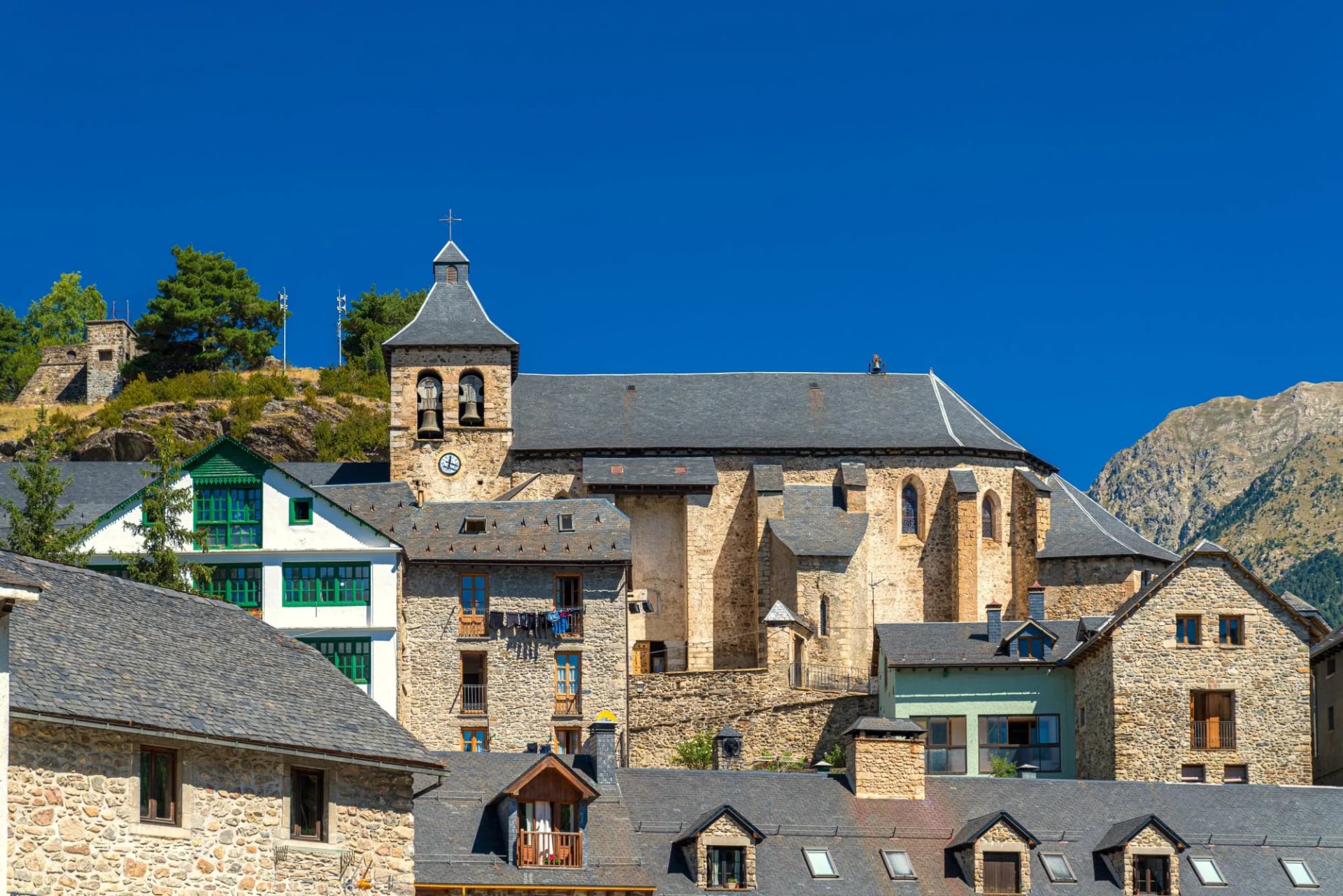
A section therefore ends where the bus runs rather than where the stage does. The valley towns that serve the high stages, Sallent de Gállego, Benasque, Vielha and Espot, all have a service down to a railhead or a city, and all of them are timetabled around the ski season rather than the walking one. That is part of why the Candanchú to Conangles fortnight works so well: both ends of it sit on a road with a bus, which is not true of every eleven-stage stretch you could pick.
Waymarking and Navigation
The GR11 is a homologated Sendero de Gran Recorrido, which in Spain means a route of more than 50 km, or one needing more than a day, that has been certified by the Spanish mountain federation, FEDME. The marks are two parallel bars, one red and one white, painted on rock, trees and posts. Two bars means carry on. Bars set at an angle mean the route turns. A red and white X means you have taken the wrong branch.
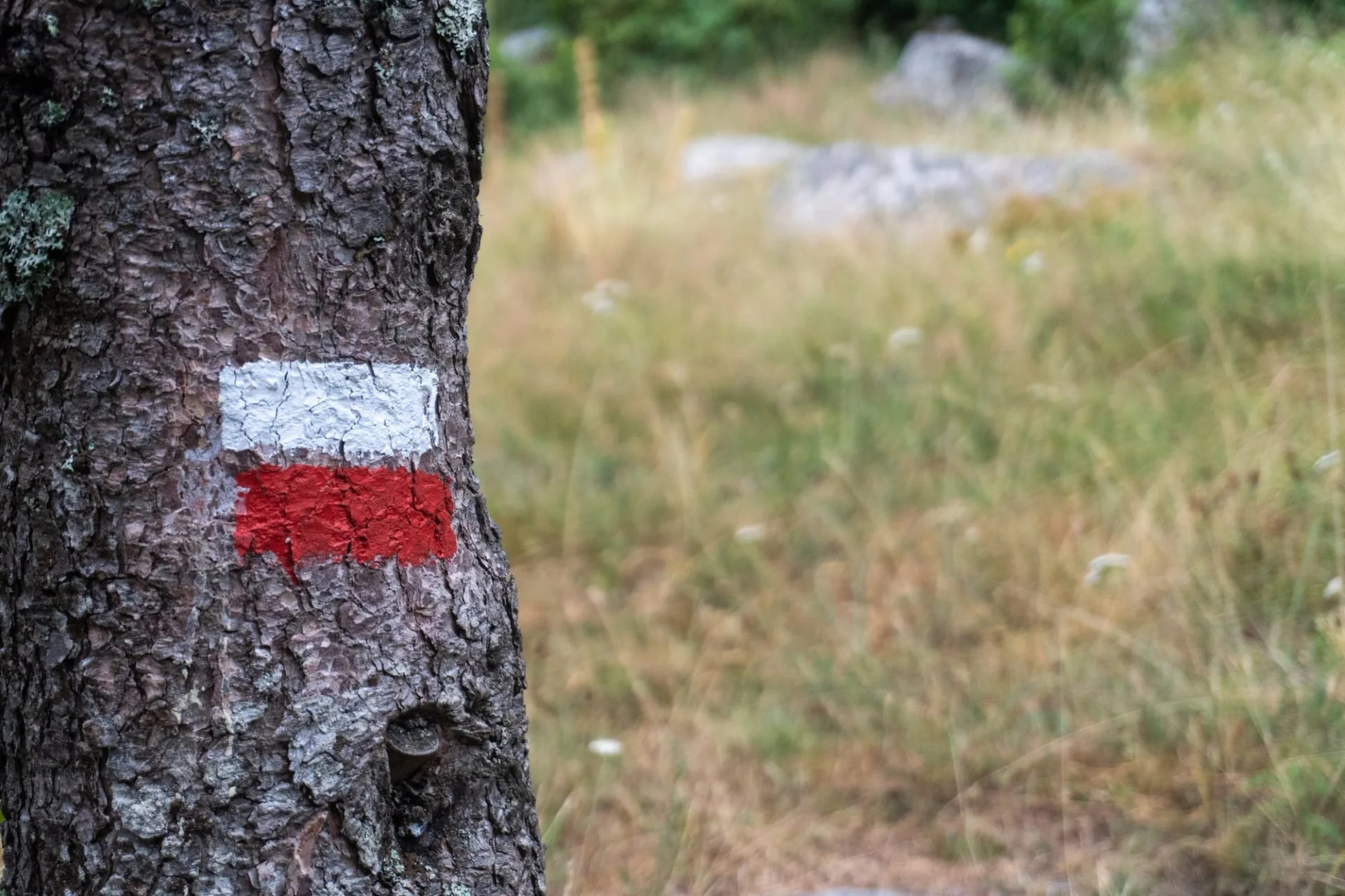
Who maintains those marks matters more than it sounds. FEDME registers the marking system, but responsibility falls to the regional federations of the Basque Country, Navarre, Aragón, Andorra and Catalonia, and the painting itself is largely done by mountain clubs and trained volunteers on assigned sections.
The practical rule from Spanish trail volunteers is simple and worth internalising: if you have been walking for a while and have not seen a mark, distrust the path. It is easy to miss a turn mid-conversation and continue straight for twenty minutes.
For paper, the decision that matters is scale, not publisher. A boxed set at 1:50,000 covers the whole route in around twenty sheets and is what most people carry end to end. Guidebook mapping usually sits nearer 1:100,000, which is enough to follow a described route and not enough on its own the moment you leave it.
Going finer is the trap. Full 1:25,000 cover for the GR11 means assembling most of the sheets along the spine of the range, and Spanish trail publishers make the point themselves: you would need a second rucksack to carry them all. Buy a 1:25,000 sheet only where it earns the weight, and the Valle de Tena, which takes in the Tebarray crossing, is the one worth the money. Several publishers cover it, so compare the print date and whether the paper is water-resistant before choosing.
Carry a GPX track as well. The published tracks are actively revised, so a file downloaded three years ago may not follow the line now on the ground.
GR11 Refuges and Booking
The GR11 alternates between staffed mountain refuges, village hostales and hotels, and a handful of unstaffed shelters. The general mechanics of Pyrenean huts, dormitories, half board, sleeping-bag liners, drying rooms and etiquette are covered in our guide to Pyrenees refuges, so this section deals only with what is specific to the Spanish side.
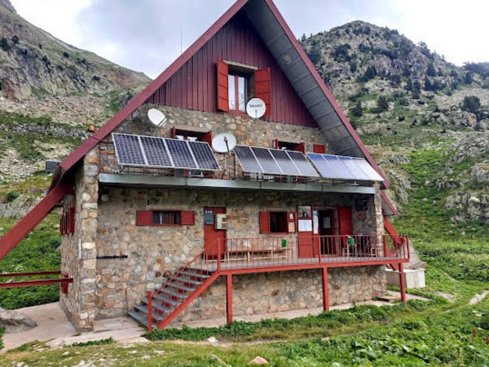
There is no single booking system. This is the biggest practical difference between the GR11 and a trail like the Tour du Mont Blanc, and the thing most English-language guides skip. The huts here belong to several different bodies: regional mountain federations, excursionist clubs, regional governments and individual valley authorities, and each group takes bookings through its own channel. Crossing from Aragón into Catalonia, and again into Andorra, means changing platforms and usually opening another account. The Aragonese chain is the most centralised of them; the huts inside the national parks are the most fragmented, with several booking only through their own sites.
The popular huts need planning months ahead. The high refuges below the big massifs fill first, and the busiest of them take reservations online only, keeping the telephone for cancellations and genuine last-minute cases. Where camping beside a hut is allowed at all, expect a capped number of places, advance booking, and permission only on nights when the beds inside are already taken. Very little is available on spec in high summer.
Closures are not only a winter problem either. Huts on this side of the range go offline for refurbishment, occasionally for most of a season, and come back at reduced capacity while the work finishes. Check the managing federation's notices and the hut's own booking page before you build an itinerary around one particular bed, and keep the neighbouring hut or valley in mind as a fallback.
The unstaffed shelters are shelters rather than accommodation, and the distinction matters. Several sit on or near the route, and they earn their place if a stage runs long or the weather turns. Expect bunks or mattresses and very little else. No warden, no meals, no water indoors, sometimes no emergency radio. They work if you are carrying a sleeping bag and food, and not otherwise.
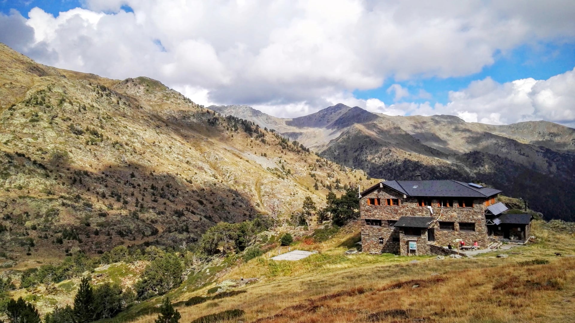
Carry cash, and ask about member rates. Card readers at altitude are unreliable and many huts prefer cash regardless. Spanish refuges also run reduced rates for members of the mountain federations, under a reciprocity arrangement whose membership has changed more than once. If you hold a federation or alpine club card, check what it currently entitles you to rather than relying on advice written a few seasons ago.
Food and Resupply on the GR11
Staffed refuges serve dinner and breakfast, and most will put up a packed lunch if you ask the night before. That covers the high stages, and it is why a GR11 pack is lighter than the elevation profile suggests. What the refuges cannot do is resupply you, so a stove and a food bag only earn their place on the stretches where you are sleeping outside.
Shops are a valley-town matter. Isaba, Candanchú, Sallent de Gállego, Bielsa, Benasque, Salardú, Espot, Encamp and Puigcerdà all have somewhere to buy food, and the gaps between them shape a self-catered itinerary more than the daily distances do. The longest carries fall in the central Aragonese stages, where the route stays high for days and the nearest shop is a descent and a bus ride away.
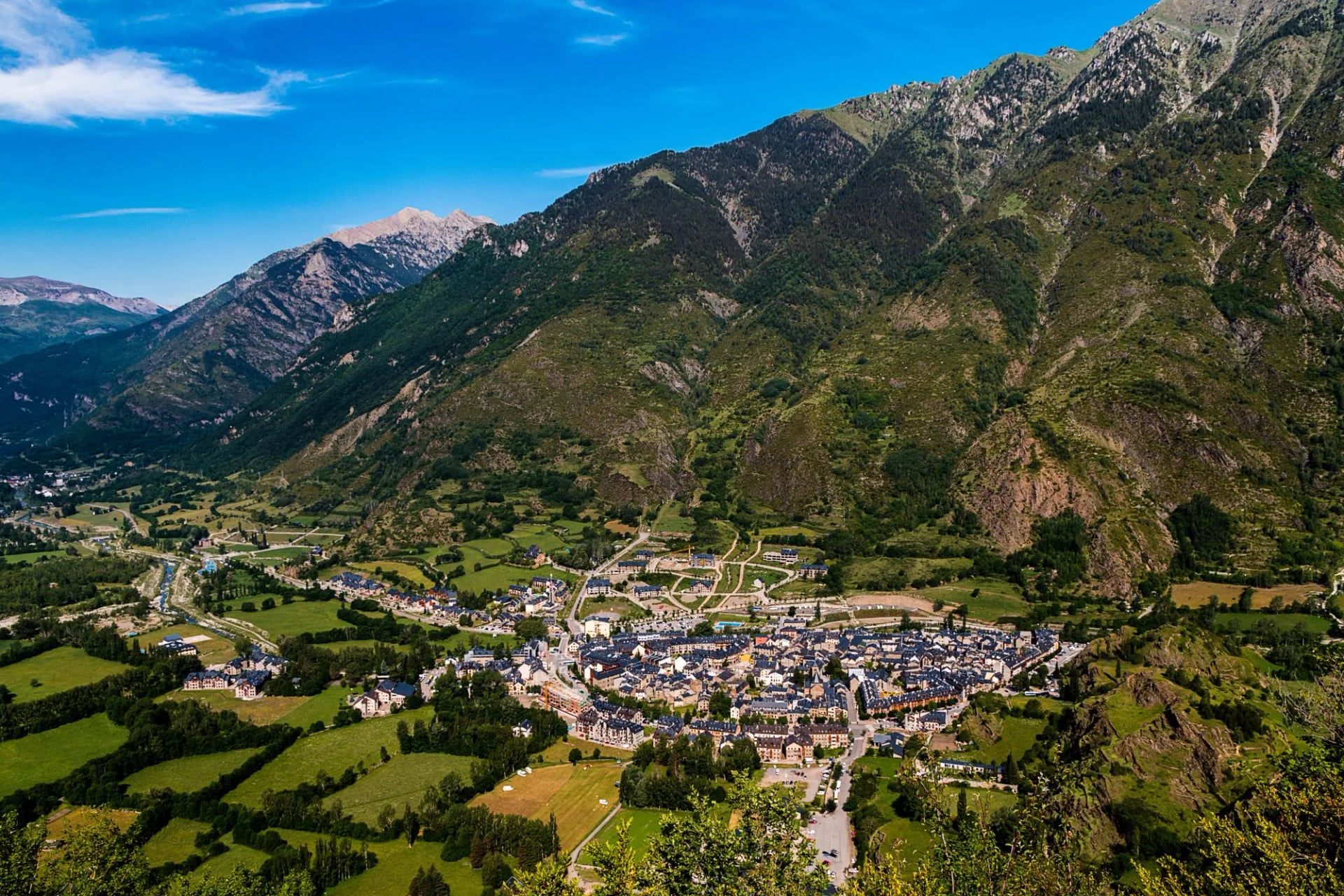
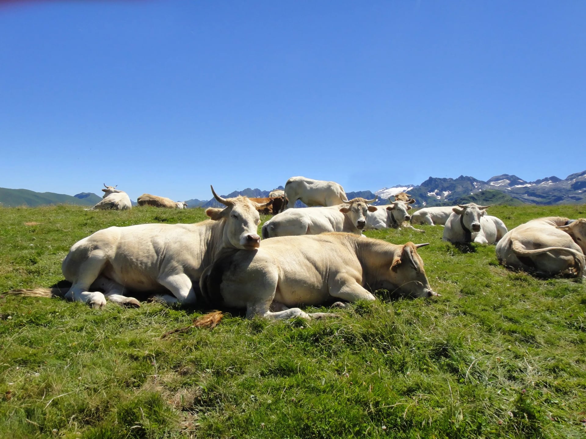
Tap water in Spain is regulated to EU drinking-water standards and monitored at the tap, so refill in villages and refuges. The high stages cross streams and glacial lakes regularly, and stage 14 has several. Livestock grazes much of the mid-altitude route, so treat or filter anything taken below the pastures, and expect the eastern, Mediterranean stages to be genuinely dry.
That last point is worth planning around. From Puigcerdà eastwards the altitude falls away and the streams go with it, and the closing stages cross cork oak and vineyard country in full sun. The villages come closer together on that half of the trail, which is the compensation, but the ground between them holds no water at all.
Wild Camping and Bivouacking
"Grey area" is the usual English-language answer, and it is wrong. The GR11 crosses four jurisdictions with genuinely different, mostly written-down rules, and two national parks where the rules are strict and enforced.
Ordesa y Monte Perdido
Bivouac and overnight camping are prohibited throughout the Ordesa sector. The single exception is the Góriz camping area, with limited capacity and compulsory advance booking. In the park's other three sectors, bivouac is permitted only above a stated altitude: 1,650 m in Añisclo at Fuenblanca, 1,800 m in Escuaín at La Ralla and 2,550 m in Pineta, above the Balcón de Pineta. Three nights maximum in any one sector.
The detail that catches people out is that a tent may only stand from an hour before sunset to an hour after sunrise, and must be down and packed outside that window. You may not dig drainage channels around a tent or build stone windbreaks, you may not bivouac close to the channels of rivers, streams and ravines, and tents may not exceed 1.5 m in height.
Aigüestortes i Estany de Sant Maurici
Sleeping outside a refuge is not permitted anywhere in the park or its peripheral protection zone.
Elsewhere on the Route
Outside the national parks, high bivouac is broadly tolerated on the classic pitch-late, leave-early basis, but the specifics are set regionally and locally, and Andorra sets its own. Check the managing authority for the section you are on rather than assuming a single national rule.
Best Time to Hike the GR11
The workable season on the high central stages is late June to late September, and July to mid-September for a continuous traverse. Guidebooks give June to October for the central Pyrenees and note that spring and autumn work at the Basque and Mediterranean ends, which is how the shoulder seasons are best used on this trail, by changing section rather than changing month.
What follows is about the GR11 specifically: what is passable, staffed and bookable in each month. For temperatures, rainfall and the wider seasonal picture across the range, our best time to hike the Pyrenees guide covers it properly.
January to March
Winter along the whole spine. The high cols are alpine propositions needing snow skills, avalanche judgement and the kit to match, and some approaches to the high refuges carry genuine avalanche risk. Walkable in these months only at the two ends, the low Basque stages, or the Empordà.
April and May
The extremities come good: green, quiet and fully walkable at both the Atlantic and Mediterranean ends. The centre is still shut, with snow deep on the cols and much of the refuge network not yet staffed. A continuous traverse is not on.
June
The month of most misjudged attempts. Valleys are clear and the flowers are out, but the high cols through Aragón often still hold snow, and an early-June crossing of the Collado de Tebarray is a mountaineering day rather than a walking one. It is usually late June before the through-route becomes viable.
July
The traverse opens properly. Huts are staffed, the passes are generally clear, and the days are long enough for the big Aragonese stages. This is also when the Aragonese valleys can reach extreme fire risk in a dry year.
August
Peak season and the hardest month to book. Refuges fill weeks or months ahead, national park access restrictions are at their tightest, and the low eastern stages get properly hot. Snow can still sit on the highest cols into mid-month.
September
The month experienced Pyrenean walkers choose. Settled weather, clear air, thinner trails, and the snow gone from the passes. The catch comes at the end of the month, as hut staffing winds down. Check closing dates before planning late-September nights high up.
October
Fine at both ends and increasingly marginal in the middle, where the first snow arrives on the high ground and huts shift to unstaffed winter use. A good month for the Empordà finish.
November and December
Winter again. Low-level or coastal stages only unless you are equipped for snow.
Two things to check before you fix dates, whatever the month. Refuge wardens publish route-condition reports, and these are the best guide to whether the high cols are clear in the fortnight before you travel. And the regional federations post notices on closures and fire alerts. In a dry summer these can shut access outright, so it is worth following the standing advice to stay away from any area near an active, stabilised or recently extinguished fire.
Safety and Mountain Rescue
Mountain rescue anywhere on the route, in Spain or Andorra, is reached on 112.
The risks that shape a GR11 itinerary are afternoon storms, snow lying late on the high passes, and heat on the eastern stages.
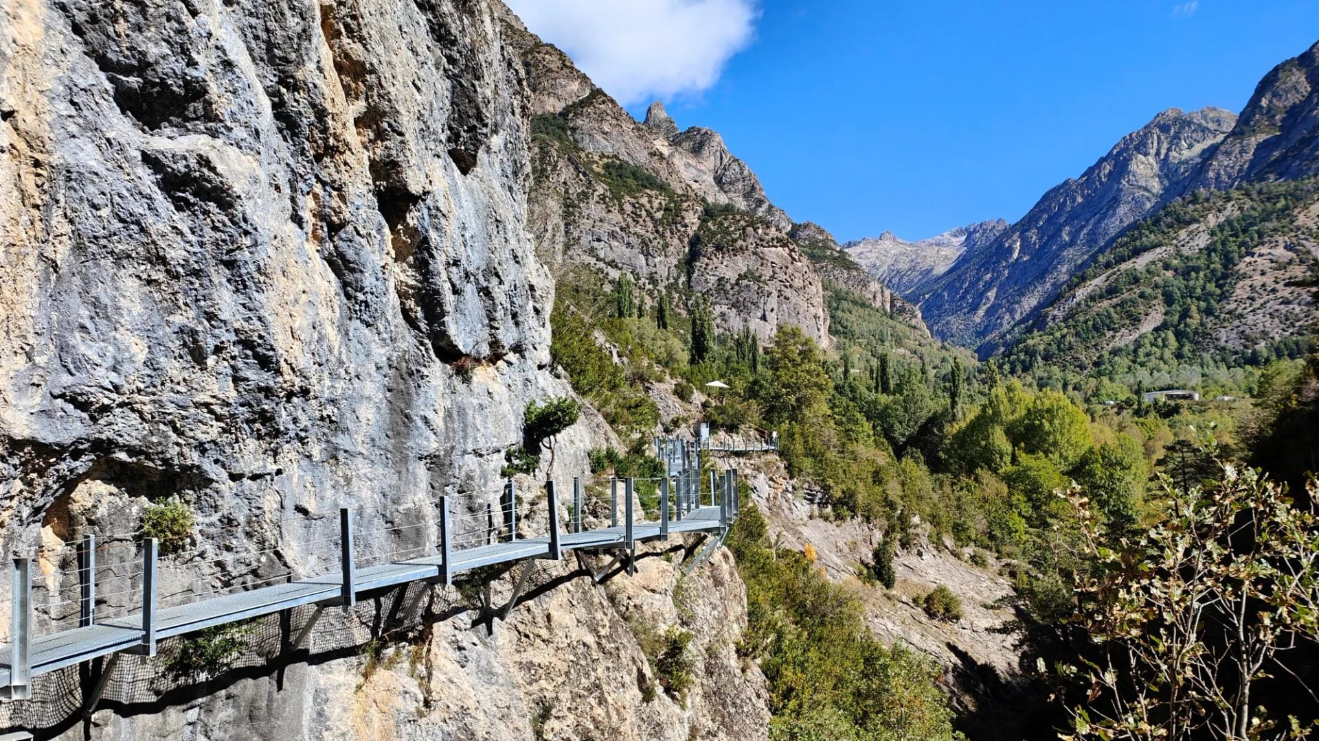
Afternoon thunderstorms are the classic Pyrenean hazard. The national park authority's own guidance for Ordesa is unusually direct: the weather can change very quickly, storms break violently with lightning, hail and rain heavy enough to flood watercourses, and the sheer height gain on these slopes can make even a short route punishing. Start early, most of the GR11's high cols are best crossed before midday, and get off ridges and passes when the build-up starts.
Snow and unstable ground persist on the Monte Perdido massif well into summer, with avalanche risk in season and slippery, unstable terrain after. The park's advice is to stay on the paths and not to walk at night. Several GR11 stages have fixed cables precisely because the ground demands them.
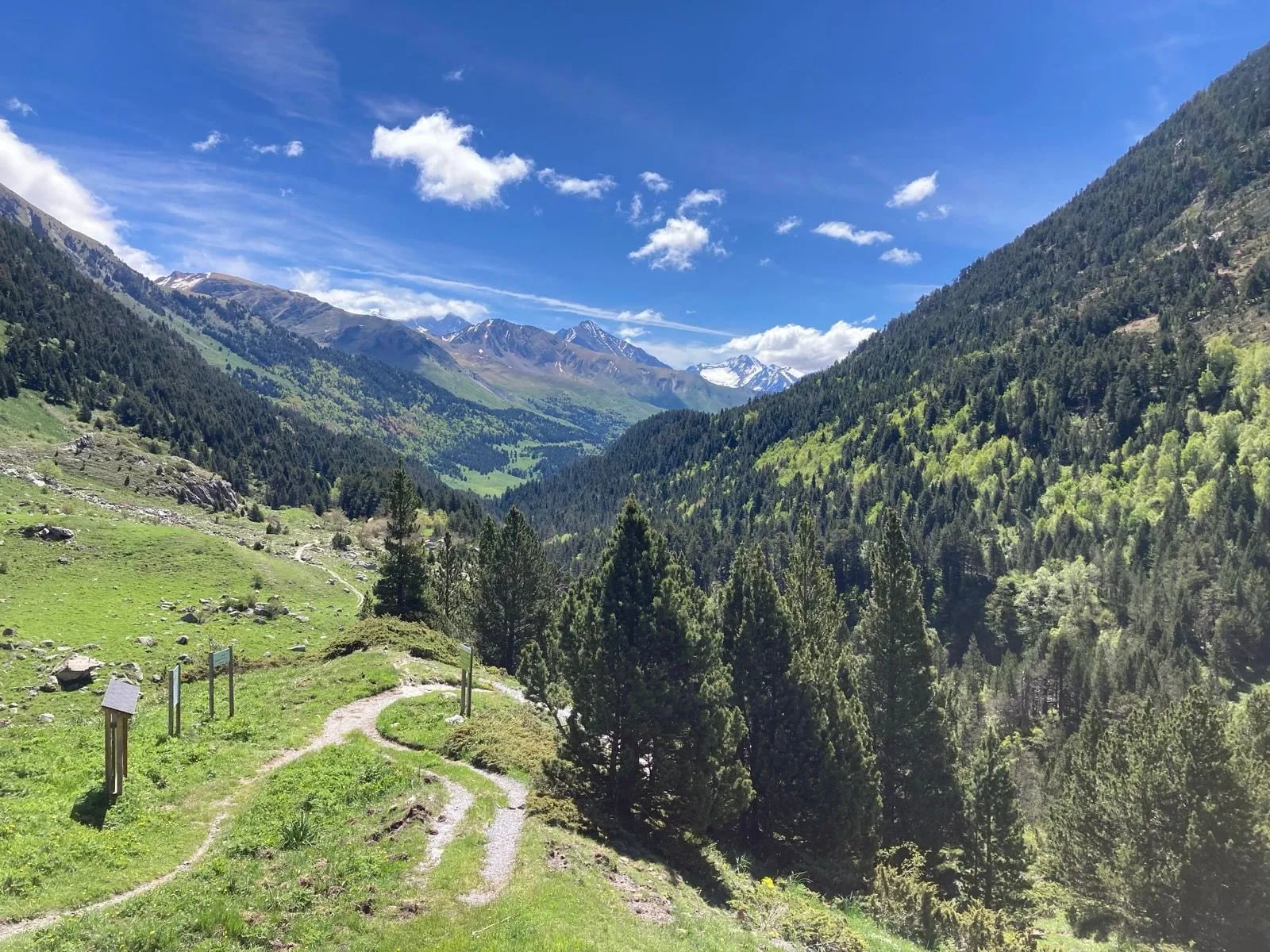
Insurance is worth getting right. A regional federation licence in Aragón carries a policy covering medical assistance, rehabilitation, travel, rescue, indemnity and civil liability, with a 24-hour Spanish assistance line. The detail that catches thru-hikers out is scope: the Spain-wide modality excludes activities using ropes, ice axe or crampons, and does not extend to Andorra. For a GR11 traverse, which crosses Andorra and may well need crampons at Tebarray, you need the modality that covers Spain, the French Pyrenees and Andorra. Our mountain safety guide covers the general ground.
What to Pack for the GR11
Most of a Pyrenean kit list is the same on any hut-to-hut week, and the general version sits in the refuges guide linked above. What changes on the GR11 is the length of the trail and the number of authorities it crosses. What follows is only the difference.
A sleeping-bag liner, always. Every staffed refuge on the route expects one.
Cash in euros. Four booking authorities, unreliable card readers at altitude, and no ATM above the valley towns.
A federation card if you hold one. Spanish refuges run reduced rates under a reciprocity arrangement, and the insurance modality matters more than the discount.
Water capacity for the east. The central stages cross streams and lakes constantly and the Mediterranean ones do not.
A GPX track and offline maps, with the 1:50,000 sheets for your section. The Valle de Tena sheet at 1:25,000 is the one that earns its weight.
An axe and crampons only if the cols say so. Refuge condition reports in the fortnight before you travel decide this, not the calendar.
Sun protection at altitude. The Spanish side is drier and sunnier than the French one, which is the trail's selling point and also its burn risk.
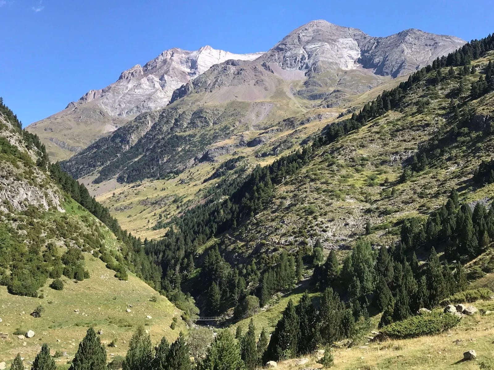
What you can leave behind depends on where you sleep. A tent is dead weight through Aigüestortes and the Ordesa sector, where you cannot use it, and genuinely useful on the open stages in between. Decide that before you pack rather than carrying one the length of the traverse.
Know Before You Go
Connectivity is patchy above the valleys and absent in most huts. Download offline maps before you start, and remember the Andorran roaming point above.
Cash is essential. ATMs are in the valley towns and not in the mountains, so draw what you need before you go up.
The language spoken is Spanish throughout, but signage and hut staff shift as you go: Basque in the west, Aragonese place names in the centre, Aranese in Val d'Aran, and Catalan from there eastwards and in Andorra. The quickest tell is the word for "and" in place names. Spanish gives Ordesa y Monte Perdido, Catalan gives Aigüestortes i Estany de Sant Maurici. English is not reliable in the smaller refuges.
Wildlife is better than the trail's reputation suggests. The parks the GR11 crosses list lizards, marmots and bearded vultures among their notable species, and the Pineta valley is known for lady's slipper orchid.
Etiquette in the parks is important. Open fires are prohibited, with an exception for gas stoves used for cooking and light on an authorised overnight stay. Dogs must be leashed where they are allowed at all, and megaphones, horns and whistles are banned outright, as is playing a radio or a speaker at a volume that disturbs other people. Take everything out with you.
The Quieter Way Across the Pyrenees
There is a reason the GR11 stays in the shade of the GR10. It is harder to organise, thinner on villages, split across four booking systems and two sets of park regulations, and it does not finish on a summit.
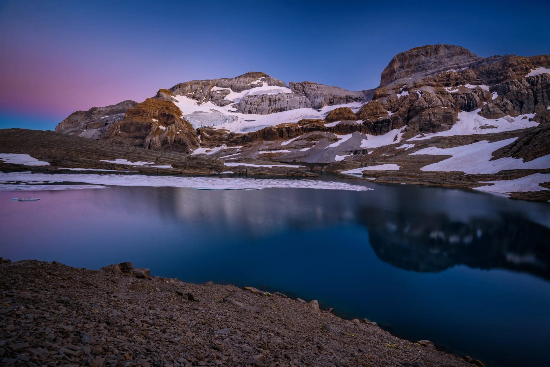
That is also the point. The Spanish side is drier, sunnier and emptier, and on the high Aragonese stages you can walk most of a day above the treeline without passing anyone.
If you would rather walk it than organise it, routes, refuges, transfers and the bookings that need making months ahead, get in touch and we will put the section that suits you into a workable itinerary.
Frequently Asked Questions

About this author
Suzana is our travel advisor and a hiker who believes the best trails aren't just about the summits. She loves spotting alpine plants, watching wildlife, and the laughs, chats, and snack breaks that make every trail worth walking.



















































.jpg&w=828&q=75)





















