O Circuit Torres del Paine: The Ultimate Guide
The O is the full lap of the Paine massif, and the park lets only 100 walkers a day onto it.

Ajda
Published October 1, 2026
Edited October 1, 2026
13 min read
Quick links
Don't want to read all this?
We've planned 2,000+ hiking trips. Send your dates, fitness and group size — we'll map the route and book every night.



The O circuit is the complete loop around the Paine massif in Chilean Patagonia. The park calls it the Circuito Macizo Paine. Everyone else calls it the O, after the shape it draws on a map, and its southern half is the W trek walked as one line.
The northern half is what you are paying the extra days for. Three days behind the massif on ground with no road access, no phone signal and one high pass to cross. The O asks for roughly twice the walking days the W does.
What this page gives you is the other half of the picture: the real figures, the park's minimum, and the rules that ration access.
O Circuit in Numbers
Length: 135 km (84 miles)
Elevation gain: about 5,700 m (18,700 ft), with nearly as much again in descent
Duration: 8 to 10 days, of which 7 are walking days
High point: John Gardner Pass, 1,241 m (4,070 ft)
Best time: November to March
Difficulty: strenuous, 4 of 5 for fitness and 3 of 5 for technical ground
Start and finish: Torres Central, walked counter-clockwise
Daily limit: 100 walkers on the circuit
The figure to act on first is the daily limit, because a capped circuit sells out long before an uncapped one.
What the O Circuit Actually Is
The route is a single closed loop, starting and finishing in the Torres sector on the park's eastern side. Its southern arm covers the same ground as the W trek, taking in the towers viewpoint, the French Valley and the shore of Lake Nordenskjöld. Its northern arm is the part only O walkers see.
The official name is worth knowing because signage, ranger stations and the park's own paperwork all use it. Park signs say Macizo Paine circuit, never "the O". A walker hunting for a letter on a signpost will not find one.
Direction is not a matter of preference. CONAF runs the circuit as one-way traffic, counter-clockwise. The loop now runs one way only.
You therefore walk the northern half first and finish on the W's ground. The logic is partly terrain and partly crowd control: from the Perros side the high pass climbs at a kinder gradient, and one flow of walkers on a narrow pass beats two.
That ordering has a consequence few people plan around. The quiet days come at the start and the busy ones at the end, so the circuit fills with day walkers as your legs empty out.
How Long the O Circuit Takes
The park's own answer is eight to ten days, and it publishes that as a recommendation rather than an outer limit. For comparison it puts the W at three to five.
Our own version runs to ten days from Punta Arenas back to Punta Arenas, of which seven are walking days. Ten days is the top of the park's own recommended range. The extra time is not spent on the trail: it buys a night in Punta Arenas at each end, plus a transfer day into the park through Puerto Natales.
Eight-day itineraries measure something different. They begin and end at the park gate, and they split the long opening stretch into two short days at Serón. An eight-day park itinerary and a ten-day trip can be the same walking.
Read what the days actually contain before you compare the numbers, because a day count on its own tells you nothing about the walking.
How Hard Each Day Is
Here is the climb and the distance for every stage:
Torres Central to Camp Dickson: 35 km, 940 m up, 890 m down
Dickson to Los Perros: 15 km, 730 m up, 160 m down
Los Perros to Camp Grey, over John Gardner Pass: 15 km, 670 m up, 1,400 m down
Grey to Paine Grande on Lake Pehoé: 15 km, 440 m up, 450 m down
Paine Grande to Refugio Los Cuernos, via the French Valley: 20 km, 1,060 m up, 930 m down
Los Cuernos to Torres Central: 15 km, 730 m up, 760 m down
The towers viewpoint and back: 20 km, 1,130 m up, 1,130 m down
That comes to 135 km with about 5,700 m of ascent and a near-identical amount of descent. The descent total is the figure that catches people out, because it is knees rather than lungs that end most O treks early.
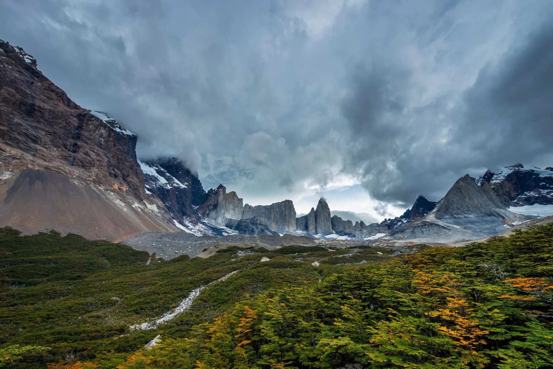
Two days stand out for different reasons. The opening 35 km is the longest single stretch on the circuit and it lands on your first day of walking, when the pack is heaviest and you have no read yet on what the weather does here.
The pass day looks modest at 15 km until you notice the 1,400 m of descent packed into its second half. Meanwhile the two biggest climbs, at 1,060 m and 1,130 m, both sit on the southern arm at the very end. The hardest ascents come last, not on the pass.
The Back Side and John Gardner Pass
The rules on this pass were written by one storm. On 17 November 2025 a blizzard caught walkers on the exposed ground between Los Perros and the pass, with gusts near 193 km/h against a morning forecast of 100. CONAF closed the circuit and reopened it three weeks later under the conditions below.
John Gardner Pass, at 1,241 m, is the high point of the circuit and the only place you cross the range rather than walk along it. The climb from Los Perros is not technical and needs nothing beyond boots and poles. About two kilometers of it are completely exposed, on bare ground, with nothing to shelter behind.
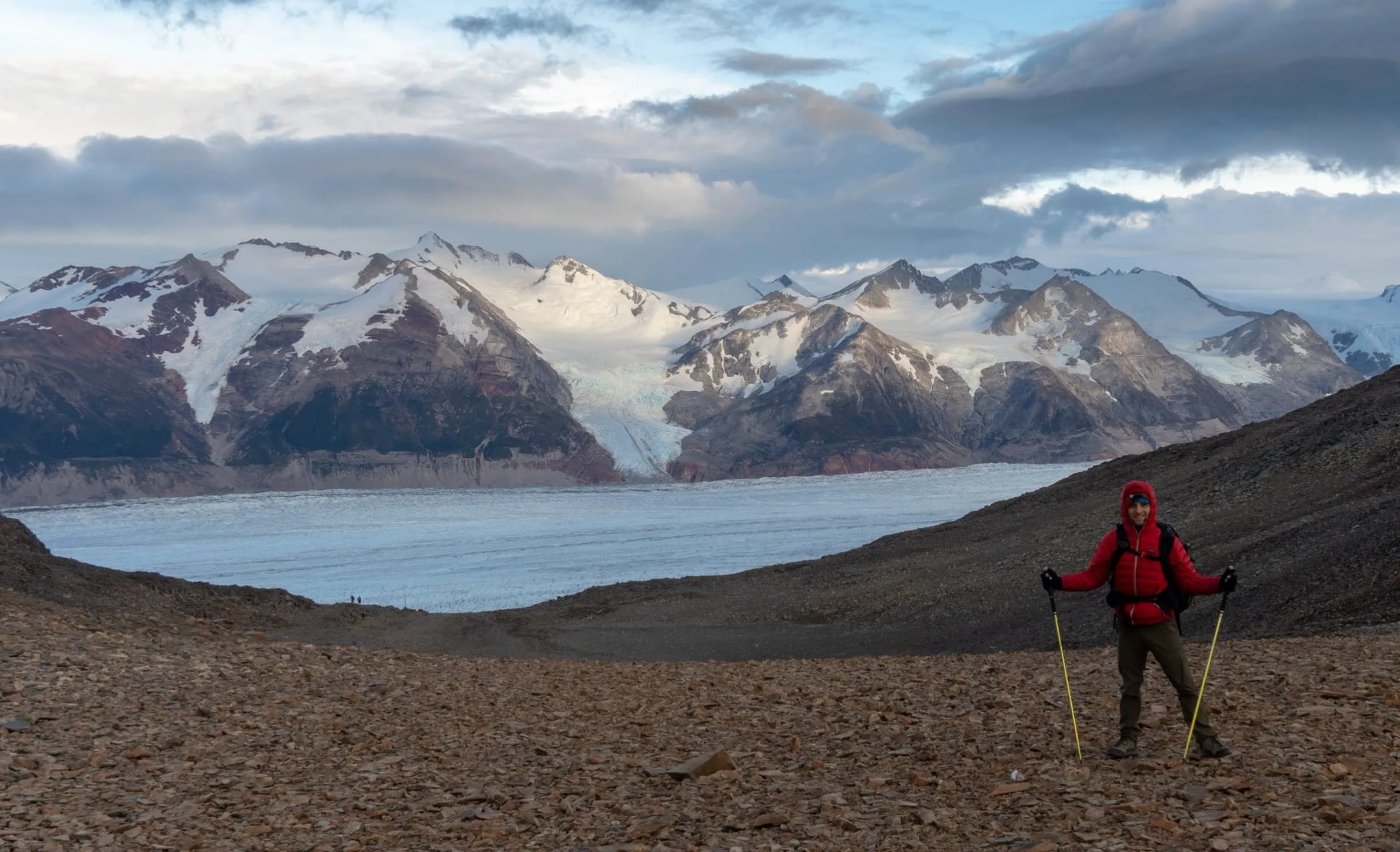
Rangers decide whether the pass goes. Registration at each ranger station on arrival is compulsory, and at the Perros and Paso camps you must also sign out before setting off, which is how anyone knows to look for you. The park is explicit that closing times apply on the W and the O, and that only a ranger can waive one.
Weather here routinely outruns its forecast, so treat the morning outlook as information rather than a verdict. A forecast is not a decision on this pass.
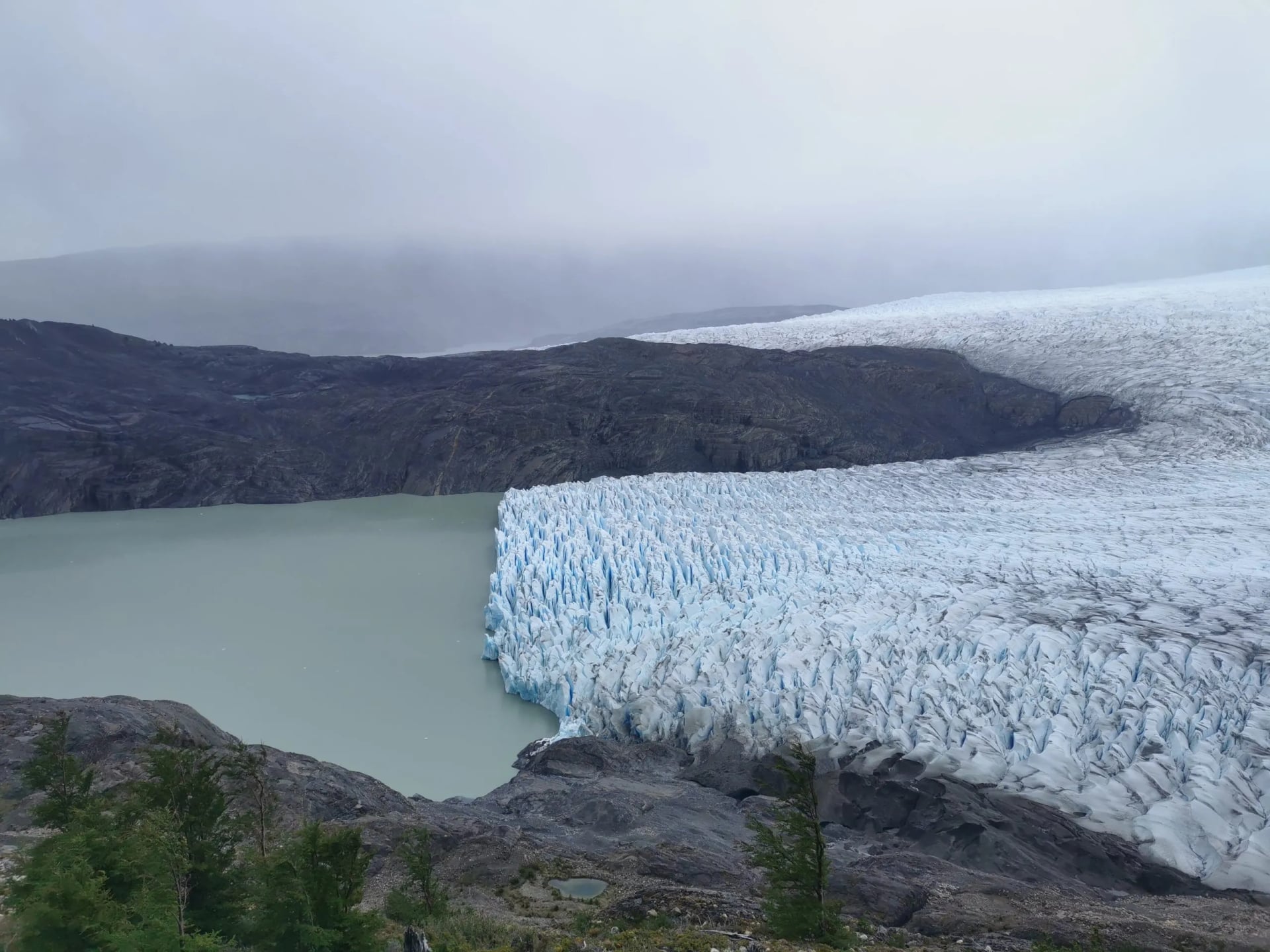
The park staffs it accordingly: two rangers posted in each of the exposed sectors at Dickson, Los Perros and the pass itself, and a cap on how many walkers are on the circuit at once. If a ranger turns you back at Los Perros, that is the system working rather than failing.
Plan for it in advance instead of arguing about it on the day. A spare day turns a closed pass into a lost day, and without one it can cost the whole trek.
O Trek vs W Trek: Which to Choose
Most people arriving at this page are really choosing between two routes, so here is the honest split. The W covers the three sights the park is famous for in four walking days and about 67 km, with roughly 2,570 m of ascent. The O covers those same sights and adds the northern half, at 135 km and about 5,700 m.
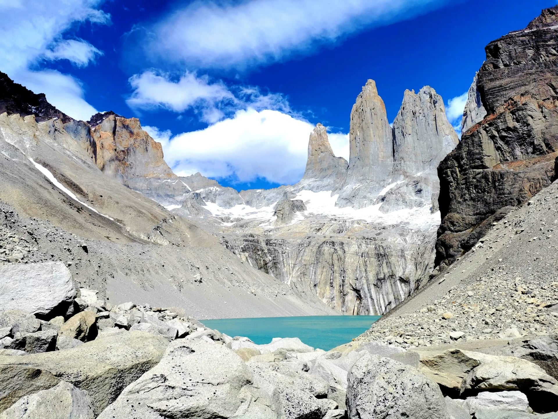
Take the W if you have a week, if this is your first multi-day trek, or if you want a bed and a cooked meal at the end of every stage. It is not a soft option. The towers day alone is an eight-hour round trip and it is the busiest path in the park.
Take the O if you have a fortnight and want the three days of near solitude the W cannot offer at any time of year. What people book as the Torres del Paine O trek is not a harder W, it is the W with a genuinely remote section on the front, and the northern camps are basic where the front refugios are comfortable.
Season is the tiebreaker people forget. The W's season is months longer than the O's, so if your dates are fixed in September, October or April the choice has already been made for you. Our W trek itinerary runs across that wider window.
Getting a Place on the Circuit
The single most useful fact about the O is that access is now rationed. CONAF has set a maximum of 100 people a day on the circuit, which is why the northern camps sell out months before the front-side ones do. Book the northern half first and work outwards.
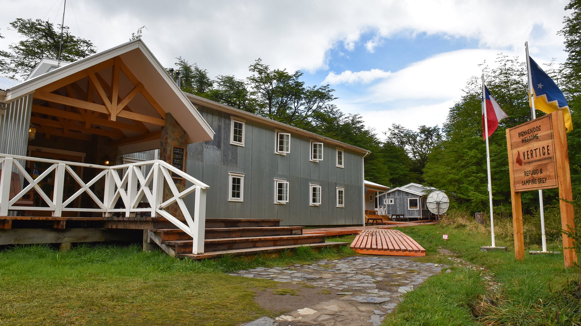
You cannot walk the O without accommodation reserved in advance. The park states that trekkers on the W and the Macizo Paine circuit must reserve their accommodation at the refuges and campsites inside the park, and the only exemptions are day walks and two roadside campsites. Wild camping is not a fallback, because the law governing the park forbids sleeping or eating anywhere not authorized for it.
The awkward part is that the beds are not in one place. Two concessionaires split the circuit between them, Las Torres Patagonia and Vértice Patagonia, while the free camps belong to CONAF. Three separate booking systems have to agree on your dates, and one missing night breaks the chain.
Park entry is a fourth transaction, bought at least 24 hours ahead through CONAF's ticket platform. Registration at the Coirón ranger station is then compulsory on the way in, so carry your confirmations on paper as well as on a phone. There is no signal to retrieve them once you are walking.
This is the part of the O that goes wrong most often, and it goes wrong months before anyone starts walking. Our O circuit trek exists largely to take it off your hands, because the beds and the park paperwork are booked before you fly.
When to Go
The O has a shorter season than the W, which is the detail most comparisons miss. The northern half and the pass are usually walkable from November to March, and the exact opening and closing dates are CONAF's call each year rather than a fixed calendar.
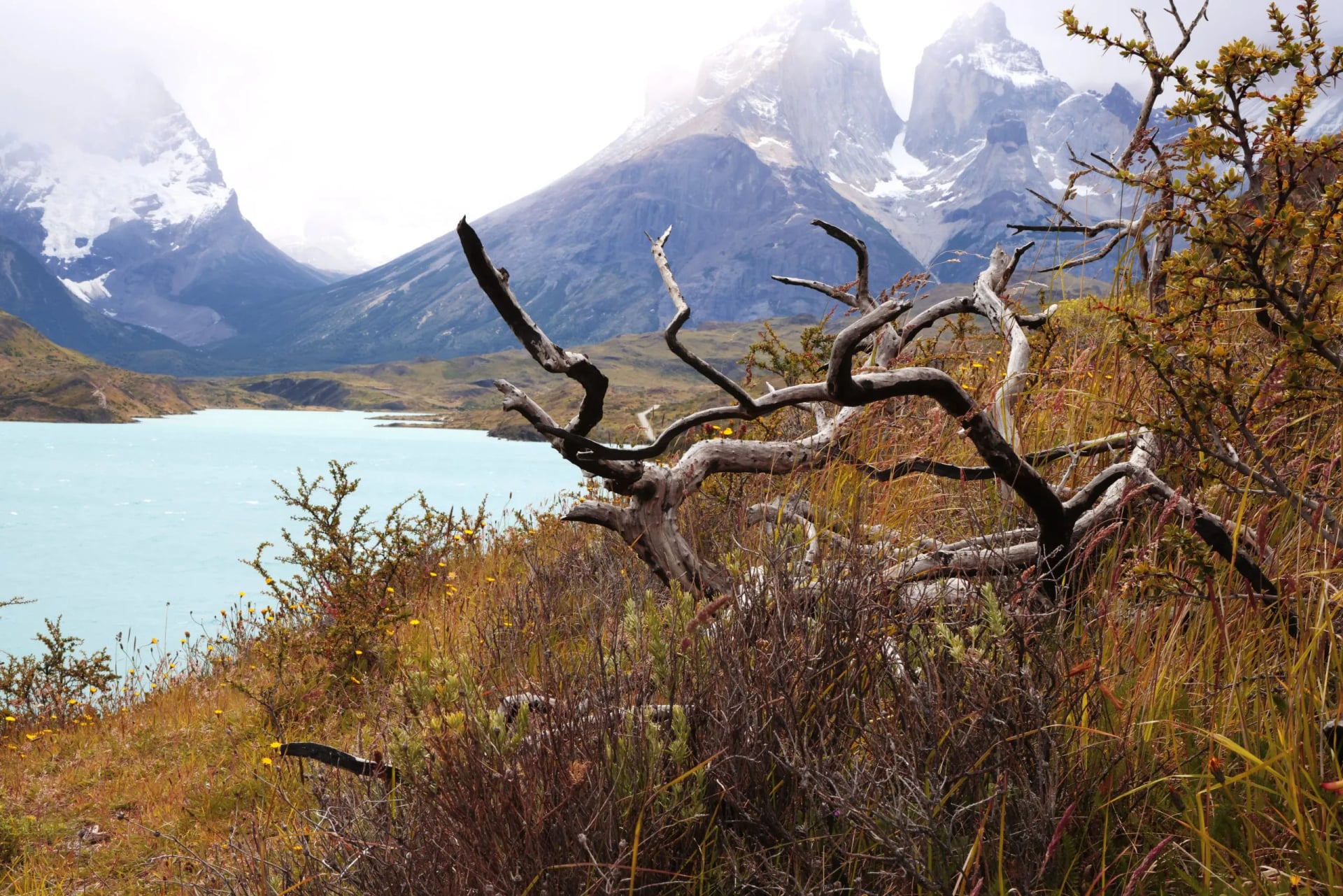
Outside that window the answer is simply no. The Macizo Paine circuit closes for the winter period, which starts in May. During it the W and the towers path stay open only with the required equipment and an early entry deadline, and these rules change from season to season, so check CONAF’s current notice before you book.
If you are reading this in the southern winter, you are planning for next season rather than this one. Reservations usually open between April and June, with the two concessionaires opening weeks apart rather than together, and the northern camps are the first to go.
Within the season the trade is wind against daylight. December and January give the longest days and the strongest wind. November and March are calmer and quieter, with the risk that the back section opens late or shuts early.
Know Before You Arrive
Registration and sign-out. Report at every ranger station you pass, and sign out at Perros and Paso before leaving. This is the search-and-rescue trigger, not a formality.
Fires and stoves. Lighting a fire anywhere in the park is a criminal offense, and portable stoves are legal only in the designated cooking areas inside authorized campsites. Check the rule for each camp when you book, because it differs between the concession camps and the free CONAF ones.
Water and rivers. Stream water on the circuit is generally drinkable, so the weight goes on layers rather than liters. The park warns that crossings turn dangerous once the water is above knee height, and meltwater rises through the afternoon.
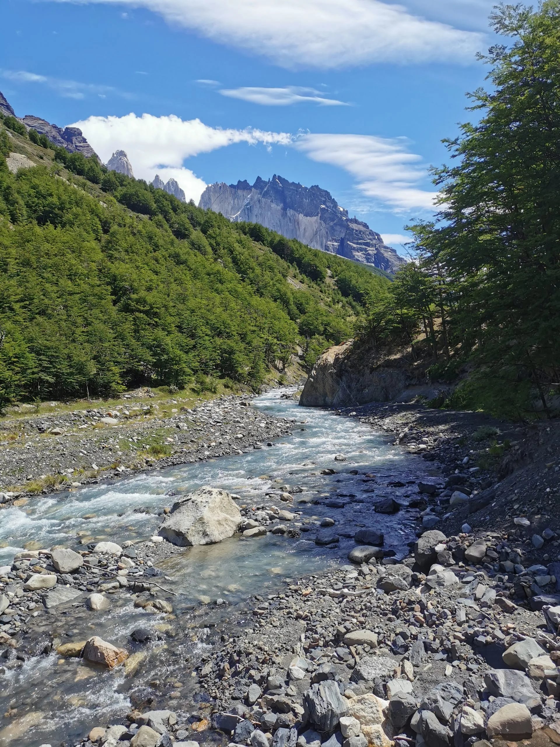
No signal, and no shortcuts. There is no mobile or internet coverage on the interior trails. The park also notes that most fatalities happen off the marked path, so a printed O circuit map earns its place in the lid of the pack. Read the park's current recommendations before you fly.
Getting there. Punta Arenas is the airport, Puerto Natales is the last town, and the park gate is a few hours beyond it. Buy park entry online in advance through CONAF's ticket platform rather than at the gate.
Our O Circuit Trek
Our version of the circuit is self-guided and hut-to-hut, with reserved beds, luggage moves where the route allows them, and the park paperwork done before you arrive. The full trip list carries current dates.
Torres del Paine O Circuit
Days: 10 days, 9 nights, Punta Arenas to Punta Arenas
Walking: 7 days, 135 km, about 5,700 m of ascent
Longest day: 35 km to Camp Dickson
High point: John Gardner Pass, 1,241 m
Season: November to March
Fitness: 4 of 5, technical 3 of 5
Nights run from a hotel in Punta Arenas through Refugio Torre Central, then the northern camps at Dickson and Los Perros, then Camp Grey, Vértice Paine Grande and Refugio Los Cuernos before the towers day. The northern camps sell out first, so this is a trip to commit to early rather than to decide on in spring.
Frequently Asked Questions
How difficult is the O trek in Patagonia?
Nothing on it is technical, and in season it needs no equipment beyond boots and poles. The difficulty is seven consecutive days, 5,700 m of climbing and the same again in descent, in weather that turns inside an hour. We rate it 4 of 5 for fitness, against 3 for the W.
How many days to do the O trek Patagonia?
The park's own figure is eight to ten days. Eight-day itineraries usually start and finish at the park gate, while ten-day trips include the travel days at either end. Allow ten days door to door, plus one spare in case the pass closes.
How difficult is the W trek in Patagonia?
Easier, but not easy. Four walking days, about 67 km and roughly 2,570 m of ascent, with a bed and a cooked meal at the end of each stage. The towers day is the one that hurts, at 20 km with over 1,100 m of climb.
Do you need crampons on the O circuit in December?
No. In December the pass is normally clear enough for boots and poles, and micro-crampons are a winter requirement on the trails that stay open outside the season. Poles matter more than crampons here, because of the long descent off the pass.
Can you walk the Torres del Paine O circuit self guided?
Yes, and that is how most people walk it in season. Guide requirements apply only in the winter period, when the circuit itself is shut anyway, and CONAF revises them season to season. What is compulsory all year is having every night booked before you enter, which is the part most worth handing to someone else.

About this author
Ajda is our travel advisor, raised in a village surrounded by mountain peaks. Hiking entered her life early on and remains her favorite way to reconnect with nature.












.jpg&w=828&q=75)




















































.jpg&w=828&q=75)























