Hiking in Bavaria: 7 Multi-Day Alpine Routes
Germany's highest peak, its only Alpine national park and Europe's densest hut network. Seven Bavaria routes with distance, ascent and season for each.

Jon
Published September 14, 2026
Edited September 16, 2026
23 min read
Quick links
South of Munich the motorway runs out of flat ground. Hop gardens give way to wooded foothills, and then, as if drawn with a line, the Bavarian Alps begin. One moment you are in the lowlands, the next you face a limestone wall rising to nearly 3,000 metres.
Proximity is the whole argument for Bavaria. Germany's highest peak, its only Alpine national park and one of the densest hut networks in the world all sit within three hours of an international airport. You can land at lunchtime and sleep at 1,900 metres the next night.
This guide covers seven multi-day routes across four regions: the Wetterstein massif above Garmisch-Partenkirchen, Berchtesgaden National Park, the lakes between Munich and the Alps, and the Allgäu in the west. If you are still choosing a country, our guide to hiking in Germany maps the whole picture. Our Black Forest guide covers the main non-alpine alternative.
The walking season runs from late May to mid-October, when the huts are open and the high passes are clear. Outside that window most of what follows is a different sport requiring different equipment. You can see the hiking tours we run in Germany alongside the routes below.
The 7 Best Hikes in Bavaria
Seven routes follow. Four of them we run as self-guided trips, and three are here because they are the obvious alternatives. You should know what those three involve before ruling them in or out.
They are ordered roughly by commitment, from the classic summit line to a trans-Alpine crossing that finishes in Italy. Distances run from 21 kilometres to about 75, and stage counts from three walking days to eight. A route is called demanding here when it is steep and sustained; where it needs a via ferrata kit or a head for heights, the entry says so plainly.
1. Zugspitze via the Reintal
Region: Wetterstein massif, Garmisch-Partenkirchen
Distance: 38 km
Stages: 3 walking days
Ascent: around 2,600 m
High point: 2,962 m
Season: July to September
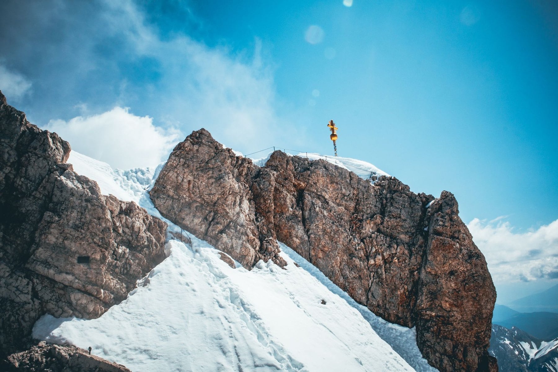
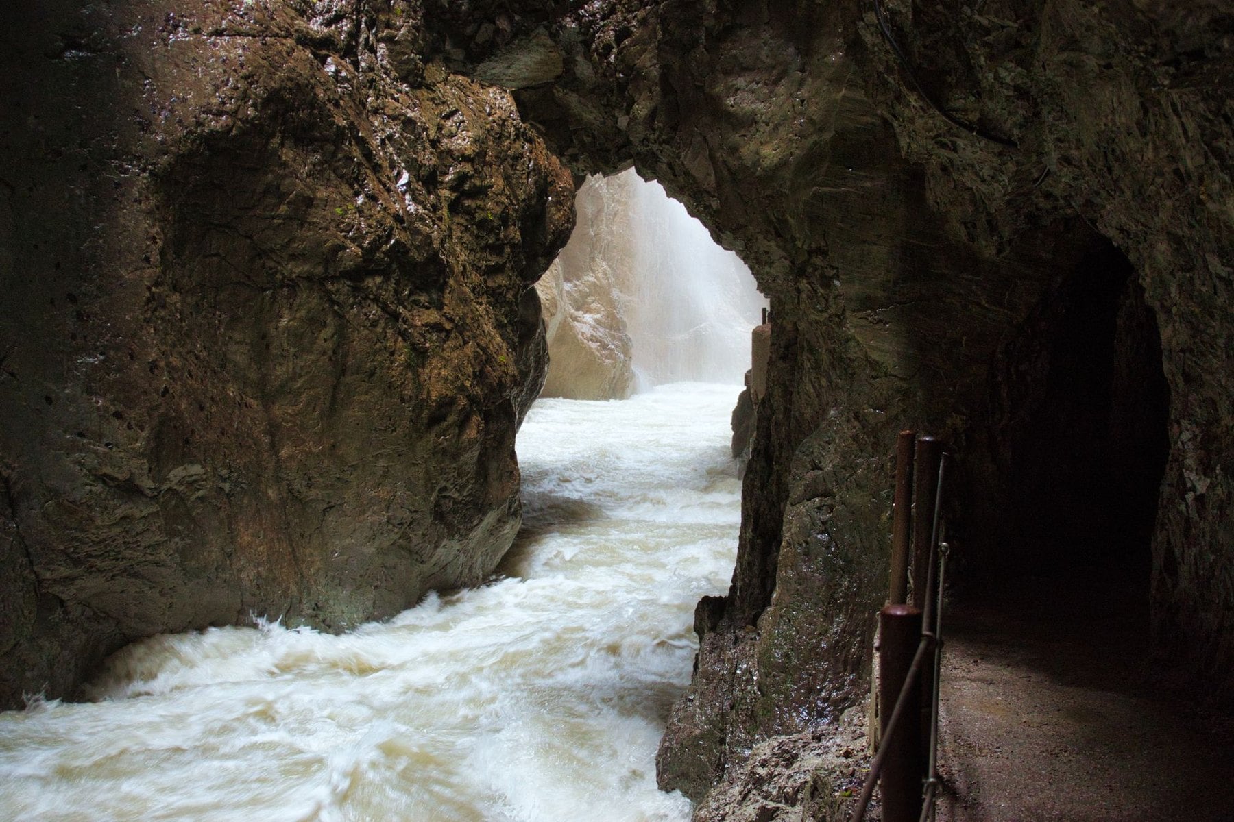
The Reintal is the classic non-technical line to Germany's highest peak, and it carries most of the traffic for that reason. From the edge of Garmisch the path enters the Partnach Gorge, 700 metres of limestone canyon where the walls close to arm's width. Beyond it the route opens into the long glacially carved Reintal valley, and the scale changes completely.
The first night is at the Reintalangerhütte at 1,371 metres, set on the valley floor among scree fans. The second day gains over 1,600 metres, climbing steeply out of the valley onto the upper mountain. It reaches the summit before dropping back to the Knorrhütte at 2,052 metres on the Zugspitzplatt, which means you sleep high after topping out rather than before.
The third day follows the trail down to Ehrwald in the Tyrol, on the Austrian side of the massif, and a short train ride returns you to Garmisch. The route needs no specialist mountaineering equipment at any point. It is still a long way up on day two, and the weather above 2,500 metres changes faster than most visitors expect.
The thing that catches people out is the descent. Most plan for the climb and forget that day three drops 1,500 metres to Ehrwald on tired legs. Trekking poles matter more going down than up here, and the Knorrhütte fills fast in August because everyone wants the same post-summit bed.
2. The Zugspitze Circuit
Region: Wetterstein and the Leutasch valley
Distance: 80 km
Stages: 5 walking days
Ascent: around 2,300 m
High point: around 1,500 m
Season: late May to mid-October
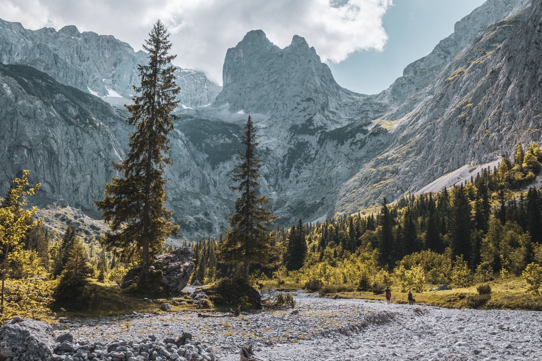
Not everyone wants the summit, and the Circuit is the answer for the people who do not. It loops the entire Wetterstein massif at its base, so you see the Zugspitze from every angle without ever standing on it. The walking is inn to inn on well-marked valley and forest paths, with a bed and a proper dinner at the end of every day.
The route runs from Garmisch-Partenkirchen to Mittenwald, crosses into Austria through the Leutasch valley, and comes back over the Hochfeldern Alm. Daily distances sit between 8 and 19 kilometres, which leaves afternoons free instead of swallowing them. The stages are short enough that a slow start costs you nothing.
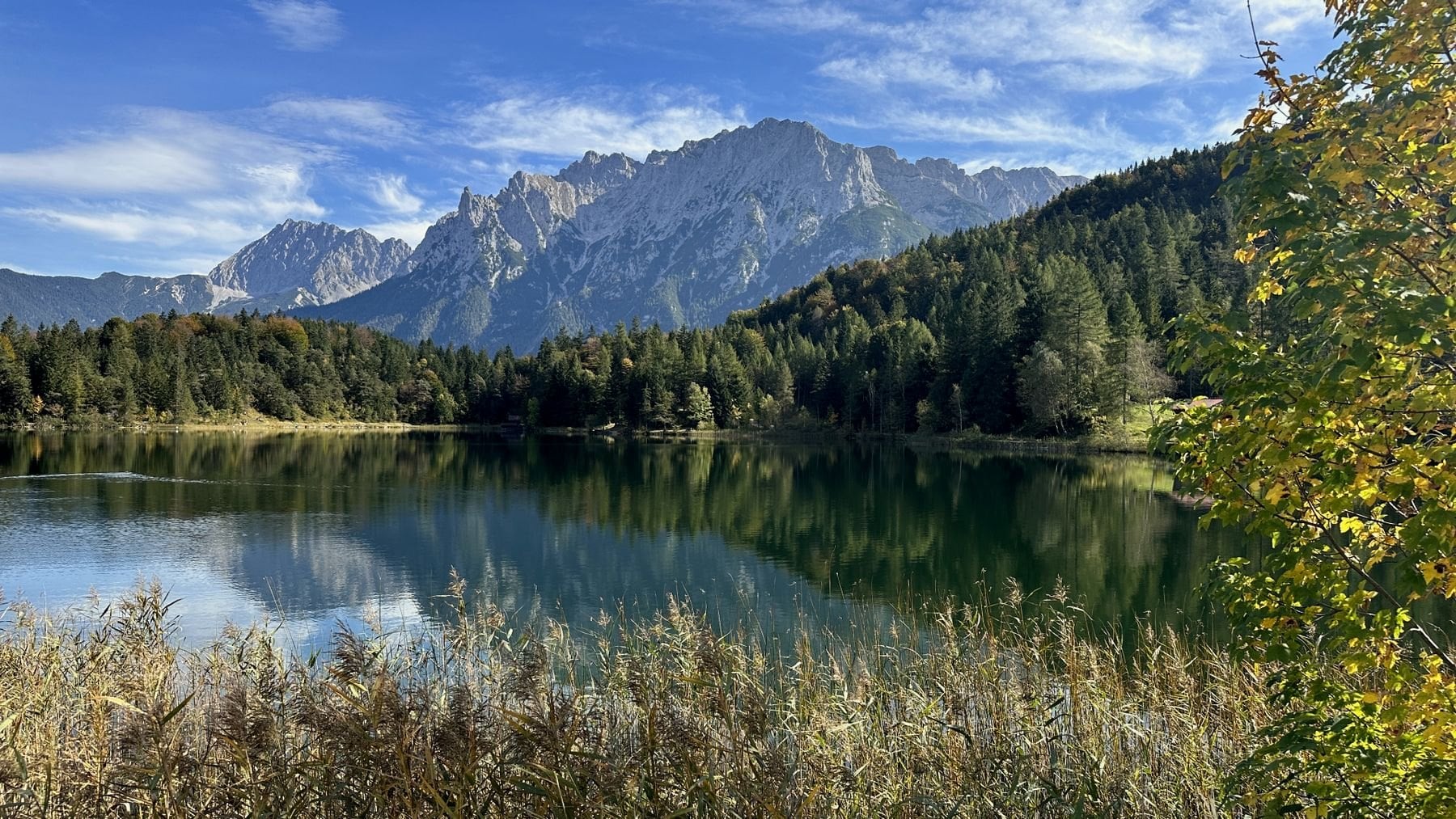
This is the right choice for walkers who want a week in serious mountains without exposure, cables or altitude. It also works in early June and late September, when the summit route is still a gamble on conditions. Nobody has to turn back from a valley path because of fresh snow on the plateau.
One practical note. The Circuit crosses into Austria and back, so the Bayern-Ticket does not cover the Leutasch section, and the return leg from the Austrian side needs its own ticket. It is a small cost, easily forgotten, and it surprises people at the barrier.
3. The Watzmann Circuit
Region: Berchtesgaden National Park
Distance: 36 km
Stages: 4 walking days
Ascent: around 3,200 m
High point: 2,713 m
Season: mid-June to early October
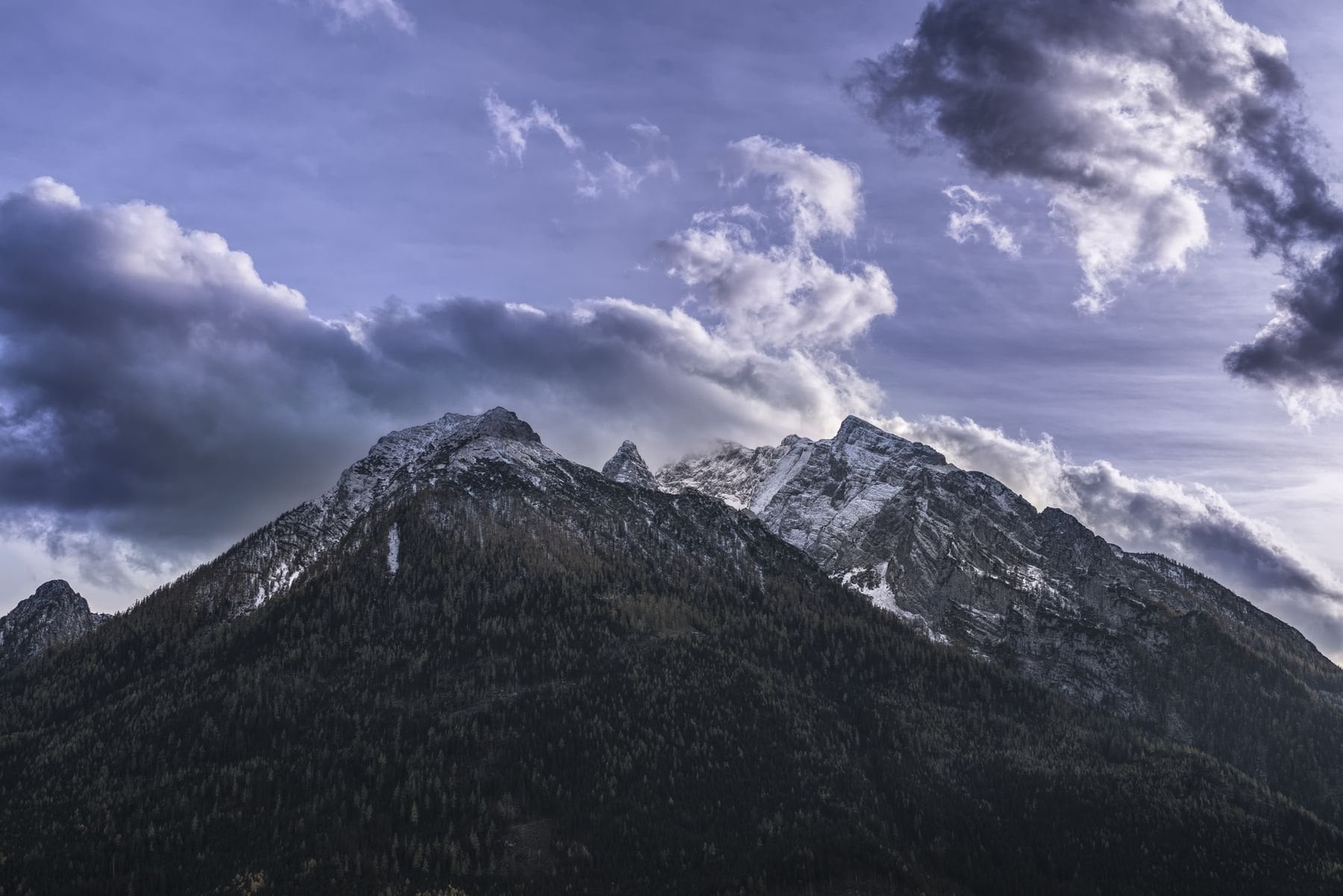
Germany's third-highest peak is the wildest thing in this guide. The Watzmann is unusual because the best route is not an out-and-back summit push but a circuit of the whole massif, starting and finishing at Königssee. Far fewer international walkers attempt it than the Zugspitze, and the difference in feel is immediate.
The climb from the lake shore gains 1,300 metres to the Watzmannhaus at 1,930 metres, with fixed cables, metal steps and ladders in the steepest rock. The following day is the crux: a traverse of the Watzmann peaks on near-vertical limestone with serious exposure the whole way. It finishes at the Wimbachgrieshütte, and there is no easy retreat once you have committed to the ridge.
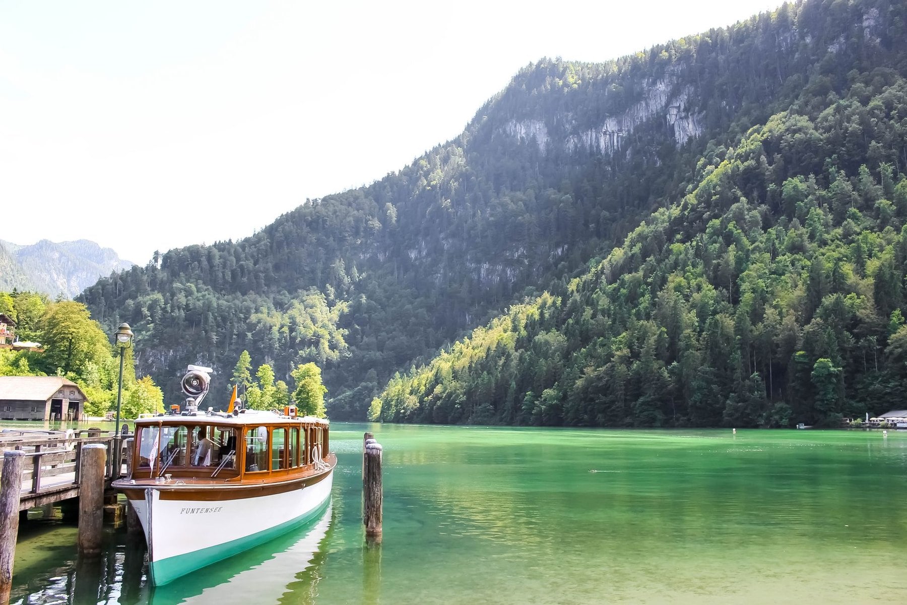
The circuit then crosses to the Kärlingerhaus and descends the Saugasse, a long zigzag that delivers you back to the lake. Only electric boats have been allowed on the Königssee since 1909, so the trip ends with a crossing in near silence. The via ferrata sections assume prior experience on fixed cables, and this is not the route to learn on.
Weather closes this route more often than any other here. The traverse is impassable in wet or icy conditions and the hut wardens will say so, which means a contingency day is not optional on the Watzmann. Build one in, and accept that the summit ridge is the part you may not get.
4. The Steinernes Meer
Region: Berchtesgaden National Park into Austria
Distance: 31 km
Stages: 3 walking days
Ascent: around 2,100 m
High point: 2,119 m at the Ingolstädter Haus
Season: July to September
The Steinernes Meer, the Sea of Stones, is the karst plateau forming the high roof of Berchtesgaden National Park. Its traverse is the most unusual route in this guide and the least forgiving in poor visibility. Nothing else here punishes a navigation error in the same way.
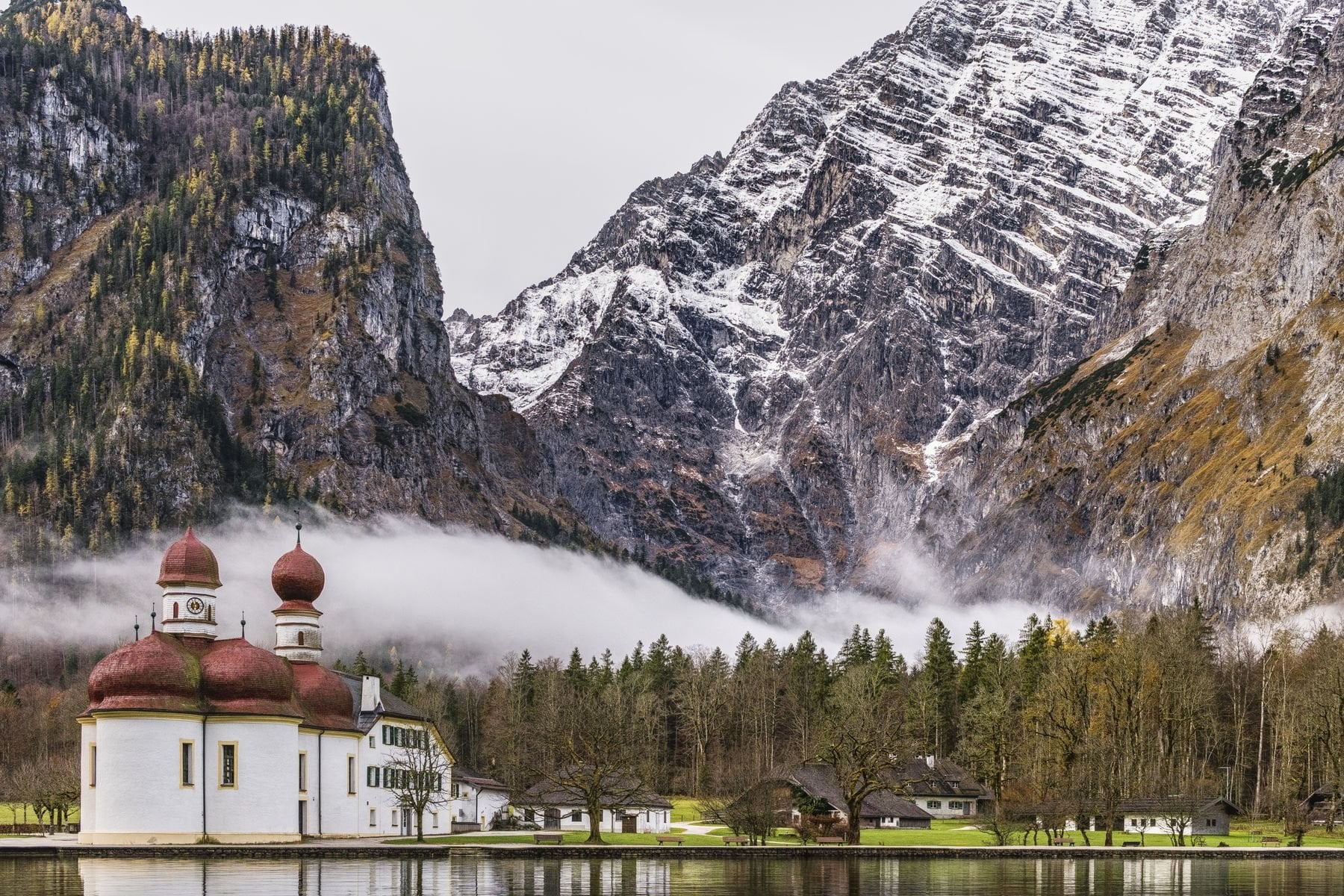
The approach is dramatic from the first hour. A boat crosses Königssee to St. Bartholomä, and then the path climbs 1,150 metres to the Kärlingerhaus at 1,638 metres. The hut sits above the Funtensee, a lake in a hollow of the plateau that holds the record for Germany's lowest measured temperature.
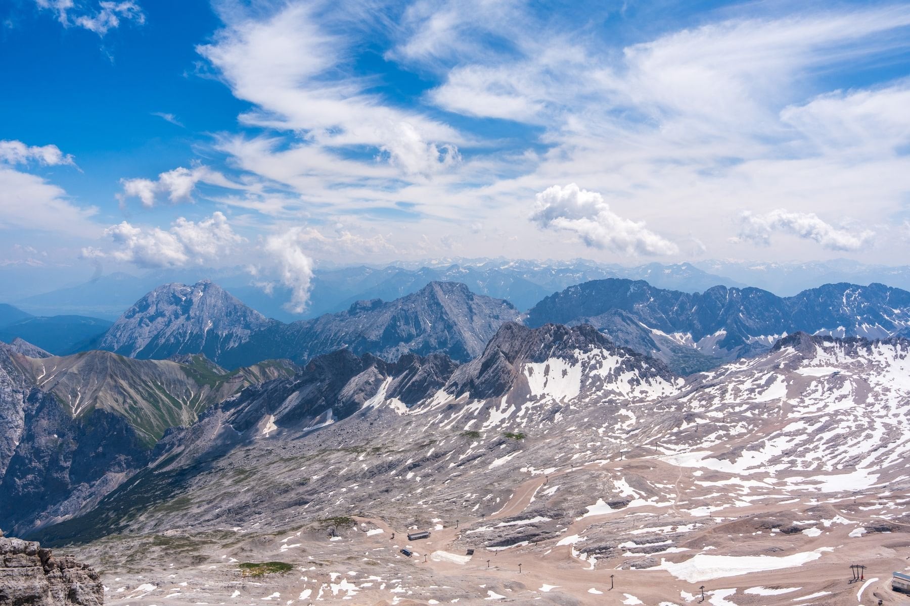
The second day defines the route. The trail dissolves into pale rock marked only by intermittent paint blazes, crossing to the Ingolstädter Haus by way of the Riemannhaus, and there is no obvious path underfoot. Carry a paper map and compass instead of trusting GPS, because the surface gives you nothing to follow. The third day descends the Hundstodgatterl, a rocky saddle with easy scrambling, and walks out through the Wimbach valley.
The Steinernes Meer is also the quietest route in this guide by a distance. You can cross the plateau on a weekday in July and see nobody between the two huts, which is rare anywhere in the German Alps. That solitude is the reward for carrying a compass and knowing how to use it.
5. Bad Tölz to Bayrischzell
Region: Tegernsee, Schliersee and the Bavarian lakes
Distance: 71 km
Stages: 6 walking days
Ascent: around 4,100 m
High point: 1,838 m on the Wendelstein
Season: May to October
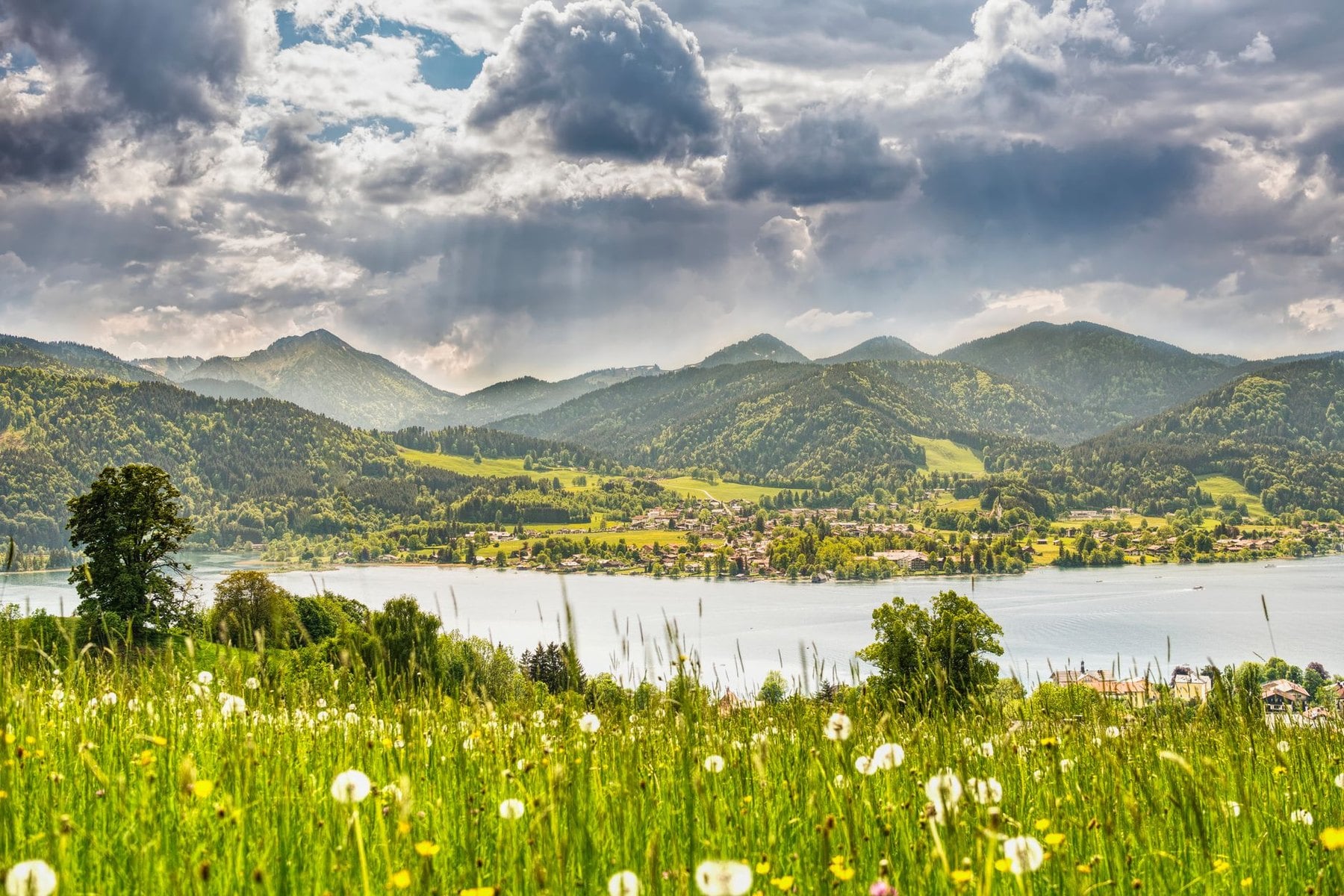
Between Munich and the high Alps lies a chain of lakes where the terrain is gentler and the scenery is unmistakably Bavarian. Wooded ridgelines stand above turquoise water, village inns put tables on sun terraces, and the summits pay for modest effort with a view across the whole Alpine chain. Nothing on this route asks for a head for heights.
The line threads from Bad Tölz to Bayrischzell along sections of the Via Alpina and the King-Maximilian path, an old royal hunting trail. It passes above three lakes and climbs to a run of viewpoints where the full chain is visible on a clear day. The Wendelstein carries Germany's oldest mountain observatory along with a network of cave tunnels beneath its plateau.
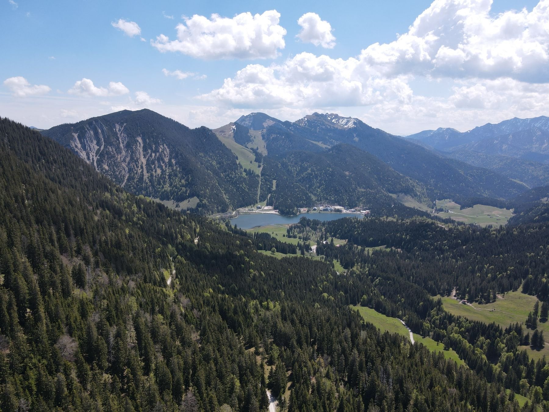
Daily distances run from 7 to 16 kilometres with comfortable inns at every stage end. This is the region for anyone new to multi-day walking in Bavaria, and for anyone who wants an Alpine landscape without cables or exposed ridges. It is also the easiest Bavarian route to reach from Munich, at a little over an hour by train.
The lakes fill with day visitors from Munich at weekends, particularly Tegernsee. Walking Monday to Friday changes the character of the whole route, and the inns are easier to book midweek too. The trains run all week, so there is little reason to take the busy days.
6. The Allgäu Höhenweg
Region: Allgäu Alps, from Oberstdorf
Distance: 60 km
Stages: 5 walking days
Ascent: around 3,700 m
High point: 2,651 m on the Hohes Licht
Season: July to mid-September
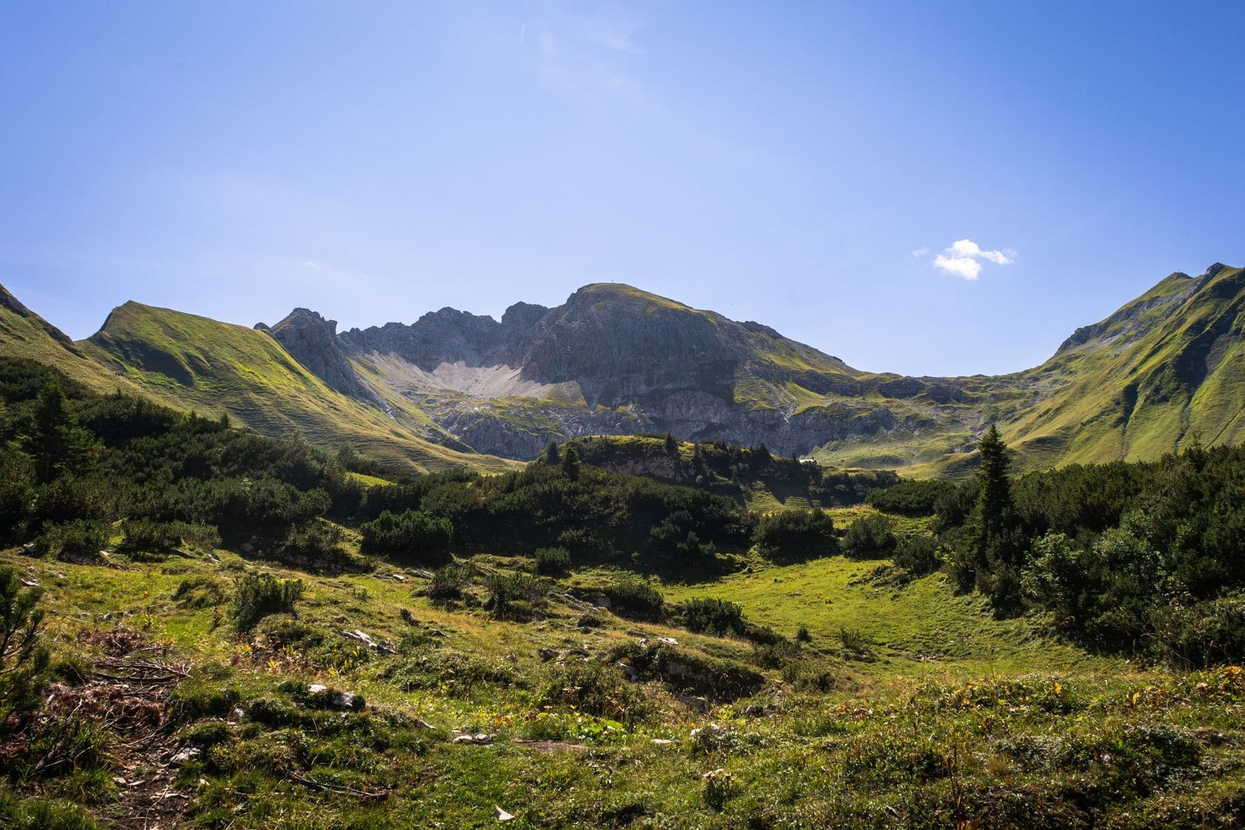
The Allgäu sits in the far west of Bavaria against the Austrian border. It is quieter than Berchtesgaden or Garmisch, draws fewer international visitors, and runs at noticeably lower trail density than any other region here. That last point is a real advantage when you are trying to book beds in August.
The Höhenweg is a high-level traverse of the main ridge, linking private and club huts through terrain that alternates between exposed ridgeline, high meadow and rocky scrambling. The views across the Allgäu valleys and into the Austrian Vorarlberg are more or less constant. The route stays high for days at a time, which is the appeal and also the commitment.
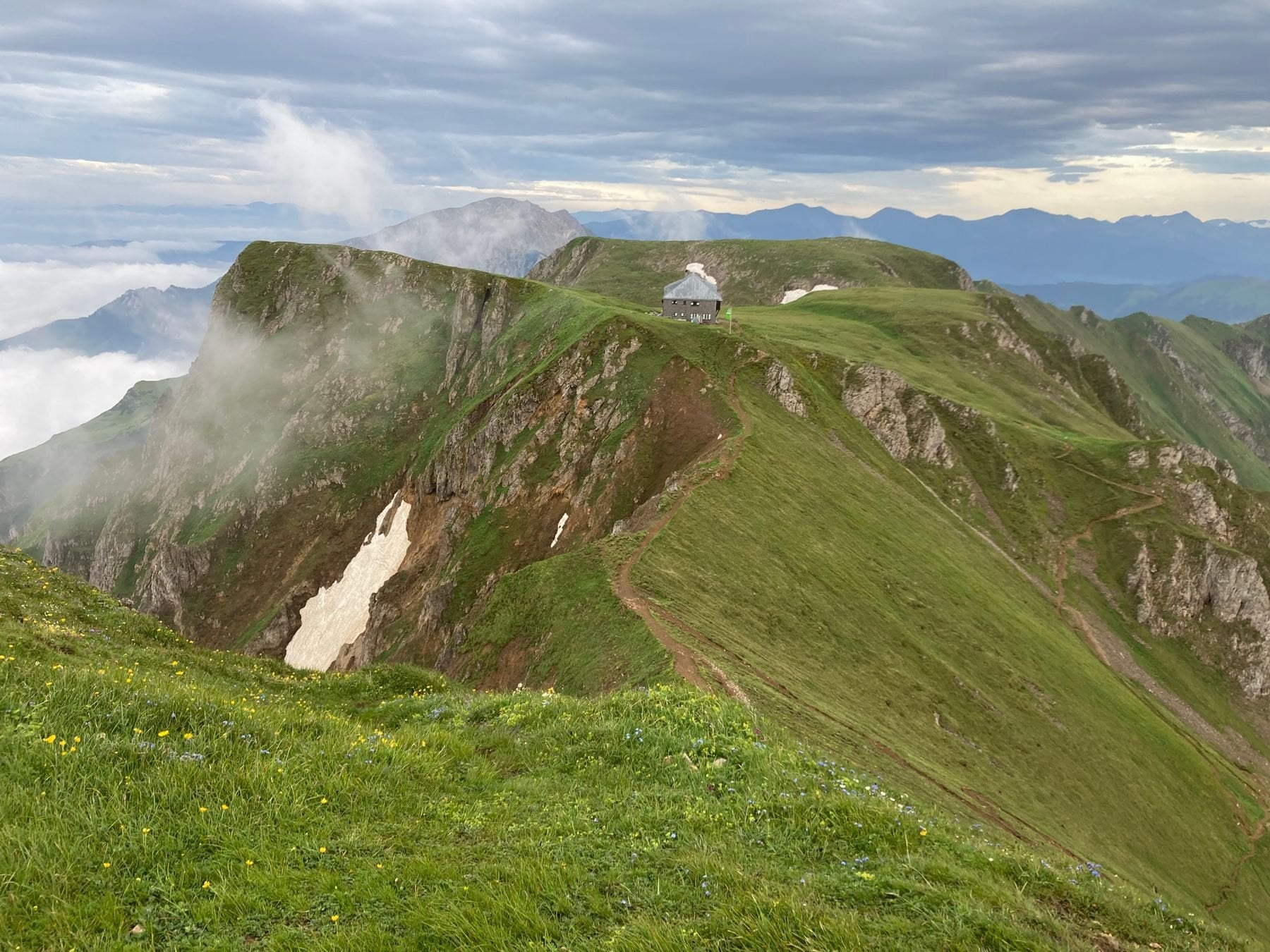
Above the tree line the blazes space out, and stretches of ridge carry no markings at all between signposts. Carry the relevant Kompass sheet and confirm every junction before committing to a direction. The route asks for real hut-to-hut navigation experience to walk independently, and it is not forgiving of a wrong turn at altitude.
Hut bookings are the real constraint on the Höhenweg. The huts are smaller than those on the Zugspitze approaches, and a full ridge traverse depends on every night in the chain being available. Book the whole sequence at once, because one missing bed can force a long descent and re-ascent to recover the line.
7. The E5 Alpine Crossing
Region: Oberstdorf to Merano, three countries
Distance: 71 km
Stages: 5 to 6 walking days
Ascent: around 4,650 m
High point: 2,759 m at the Braunschweiger Hütte
Season: mid-June to late September
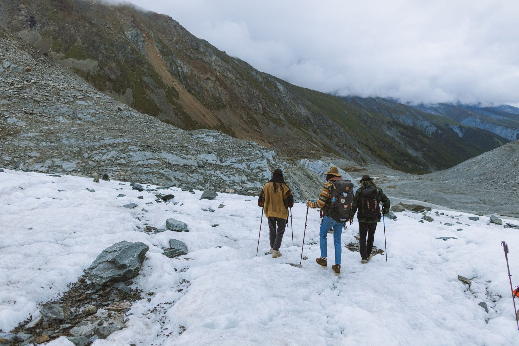
Oberstdorf is also the start of the most famous long-distance route in Germany. The E5 crosses the Alps from Bavaria into South Tyrol, and more than 13,000 walkers finish it each year. That makes it one of the busiest trans-Alpine crossings anywhere, which matters when you are planning hut bookings.
The route climbs south from the valley to the Kemptner Hütte at 1,846 metres on the first day and crosses the Mädelejoch into Austria on the second. It then ascends to the Braunschweiger Hütte, the high point of the entire crossing, and descends through Sölden. The Timmelsjoch at 2,474 metres takes it into Italy before the final drop to Merano.
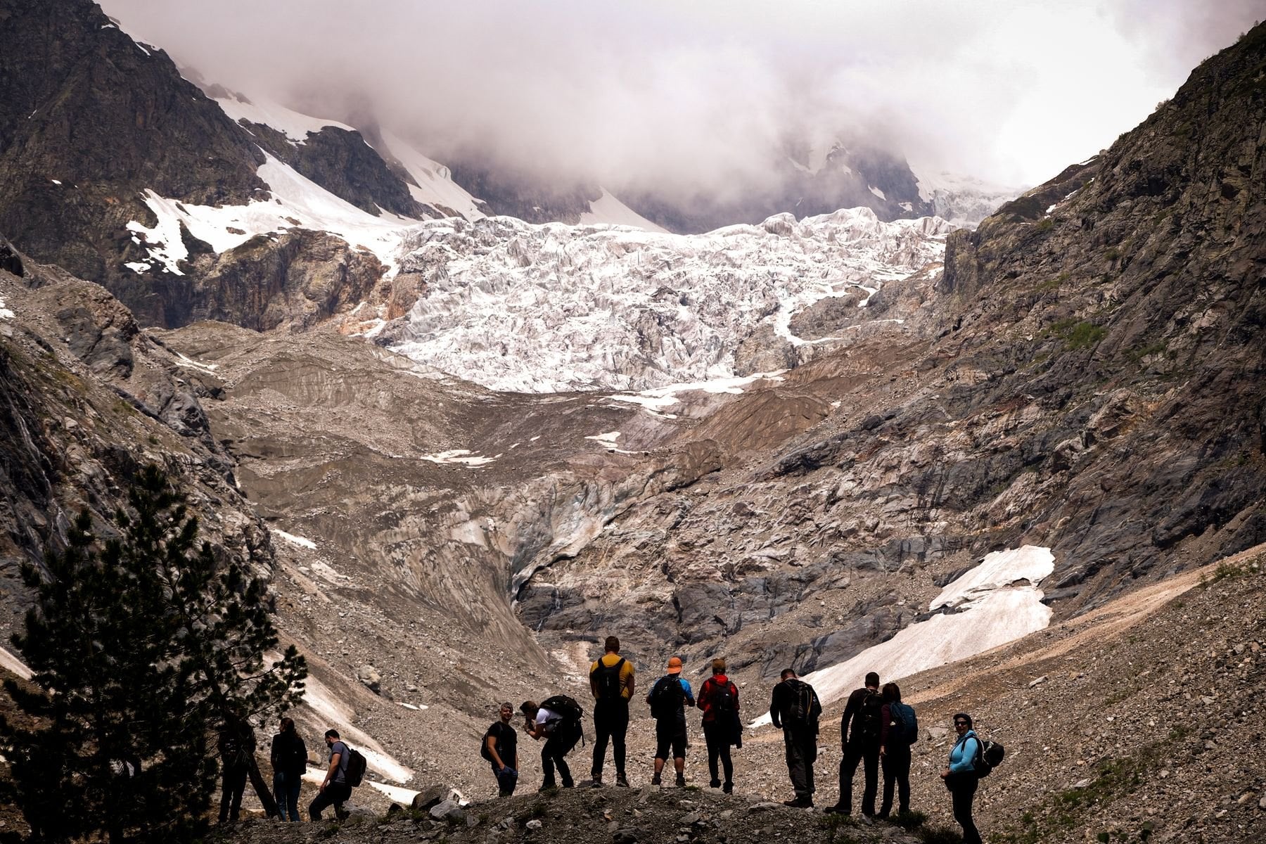
There are no via ferrata sections on the E5 and no glacier crossings. What it asks for is five to seven consecutive days at altitude with real daily ascent, day after day, with no rest stage built in. It is not the route for anyone whose multi-day walking has been at valley level, however fit they are on a single day.
The E5 has one structural problem worth knowing before you commit. Several operators bus walkers over the dullest sections, which is why completion figures look high, and independent walkers who refuse the transfer face longer days than the published stage list suggests. Decide which version you are walking before you book anything.
Waymarking and Terrain in Bavaria
Waymarks and Grades
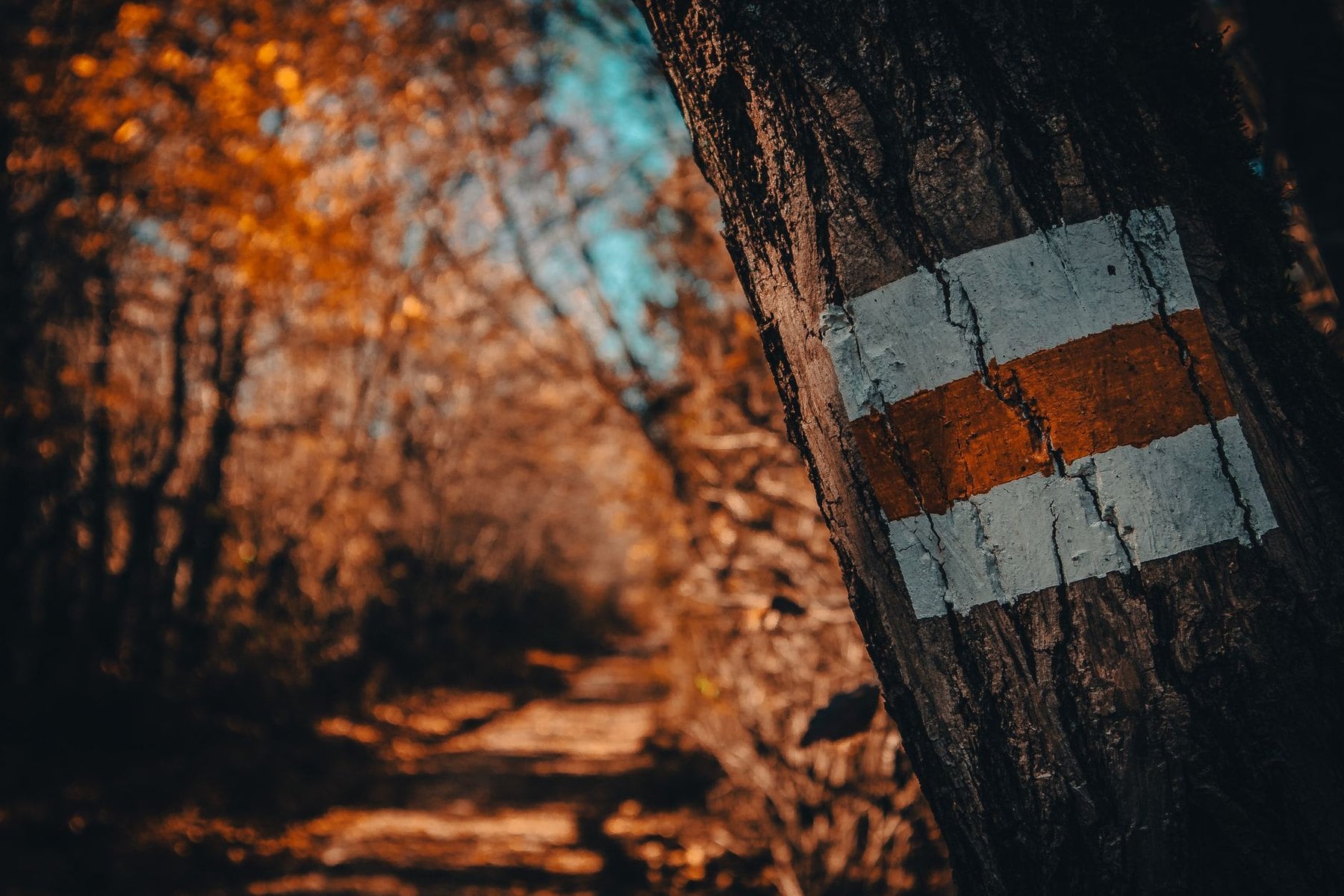
Bavarian trails carry red-white-red painted blazes that appear on every mountain path regardless of difficulty, so the blaze itself tells you nothing about what lies ahead. Germany has no single national standard and our guide to hiking in Germany sets out the regional systems. What matters in Bavaria is the yellow wooden signpost at each junction.
Those signposts give destination names, walking times in hours and a coloured dot for the grade. Blue marks easy mountain paths where good walking shoes are enough, red marks standard paths needing ankle support and care on steep ground, and black means scrambling, exposure or via ferrata. The colours are consistent across the whole range.
Walking times assume 300 metres of ascent per hour and 4 kilometres of flat distance per hour, at a fit pace with no stops. Add your own breaks before committing to a timetable. The posted figure is a measurement, not a prediction of how your day will actually go.
Rock, Scree and the Tree Line
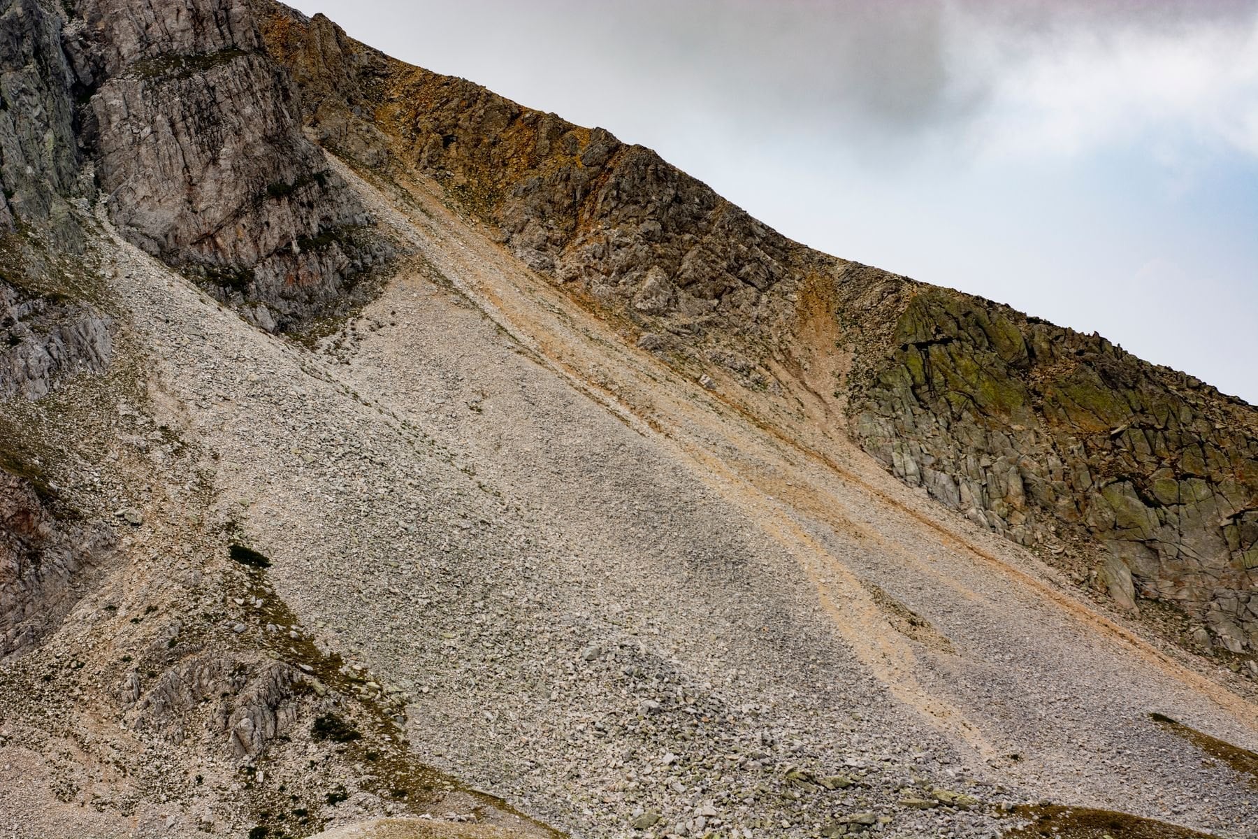
The underlying rock is limestone almost everywhere in the Bavarian Alps. It gives sharp, grippy footing on dry exposed routes and turns treacherous the moment it is wet. That single fact governs more day-to-day decisions here than altitude does.
The tree line sits at around 1,800 metres. Above it the trails become more exposed and route-finding depends entirely on blaze placement, so poor visibility changes the difficulty of a day and not only its pleasantness. Below it, cattle graze the mid-altitude meadows from June through September and churn the trail surface through their pasture zones.
Trail Culture and Etiquette
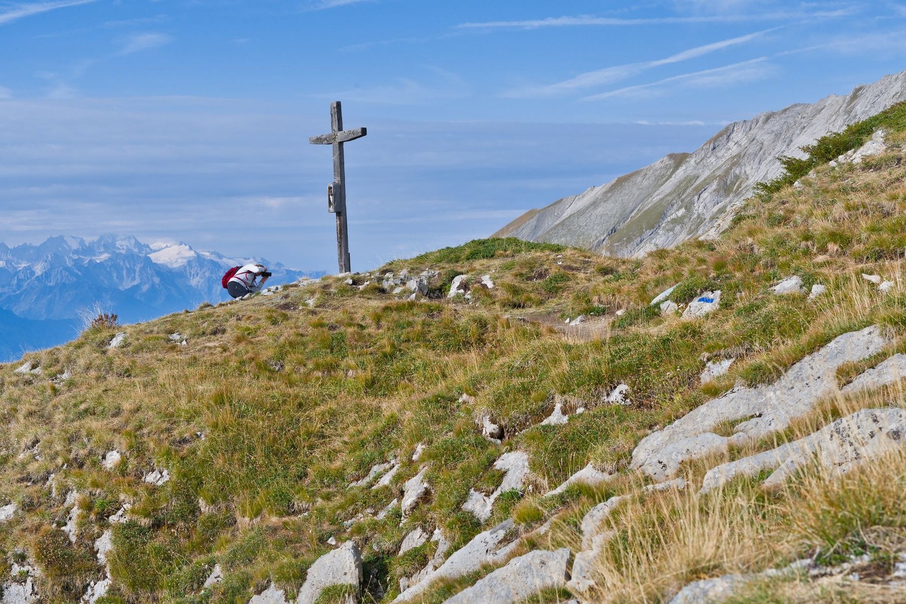
The standard greeting is Grüß Gott, offered to everyone you pass whether you know them or not. Not returning it reads as rude, not merely quiet. Uphill walkers have right of way, so step aside before a standoff develops on a narrow path.
The Brotzeit, a midday break for bread, cold cuts, cheese and something to drink, is the backbone of a day in these hills. Mountain huts exist largely to make it possible. Arriving to order only water without eating tends to be frowned on, and a flat rock with a view counts as a perfectly respectable alternative.
Two things reliably annoy people on a Bavarian path. Music from a portable speaker is not acceptable anywhere on the mountain, at any volume. Trekking poles need rubber tips fitted before you take them inside any hut, and wardens will say so if you forget.
Mountain Huts in Bavaria
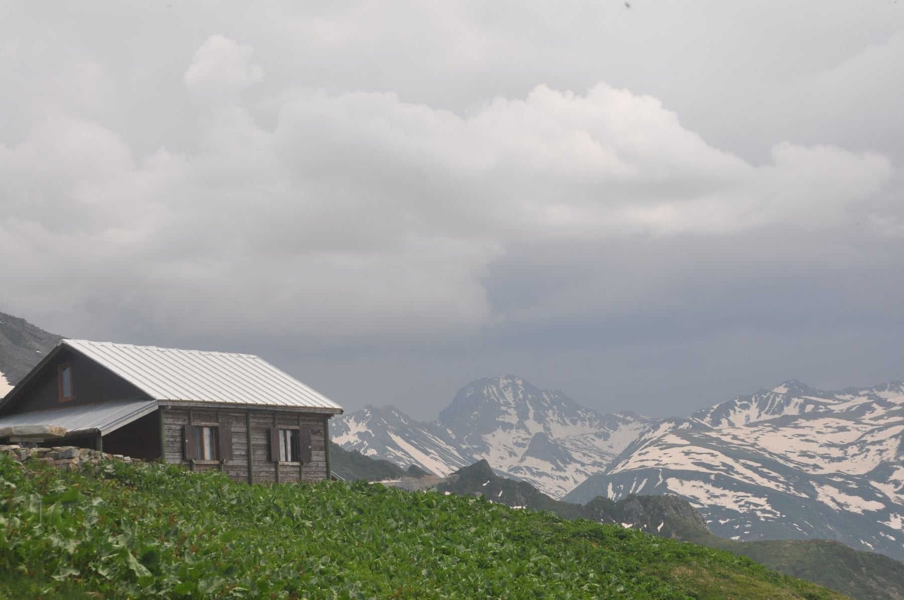
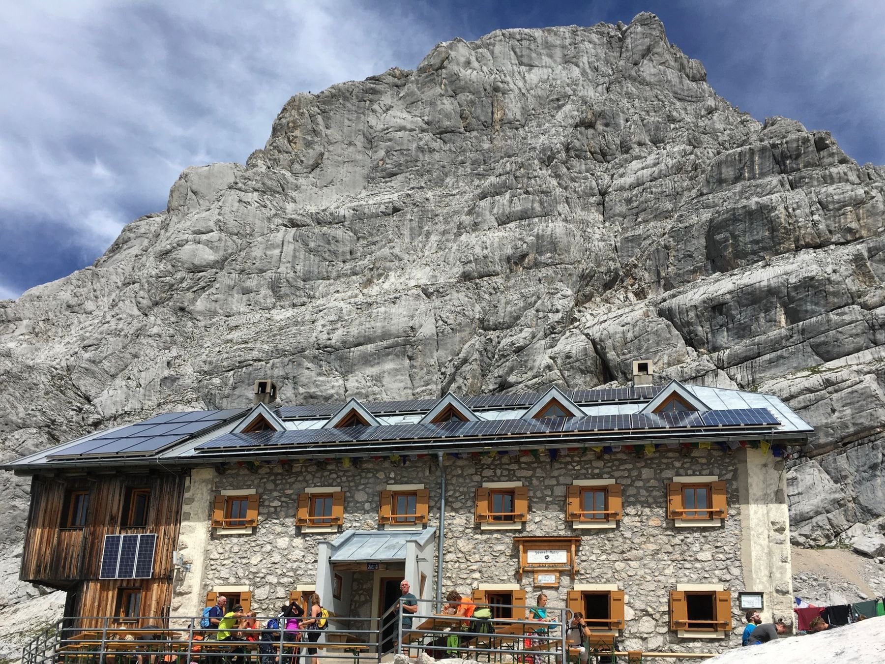
The Bavarian Alps carry one of the densest hut networks in Europe, most of it run by or affiliated with the German Alpine Club. Understanding the system changes the kind of hiking you can do, because it turns a demanding ascent into a multi-day journey. It opens terrain that would otherwise need a tent and the food to go in it.
In July and August the popular huts on the Zugspitze and Watzmann approaches fill four to eight weeks ahead. Do not arrive in mid-August without a reservation and expect a bed. September visits typically need two to three weeks' notice, and booking remains sensible even then.
Accommodation is dormitory-style unless you book one of the limited private rooms. Bring a sleeping bag liner, because it is compulsory everywhere and duvets are provided while linen is not. Earplugs matter more than most people expect in a room sleeping forty after a long day.

Meals are charged separately from the bed. The Bergsteigeressen, a subsidised hot plate every hut must offer, keeps the evening meal predictable, and full dinners are priced fairly by Alpine standards. Most huts operate in cash, so carry euros instead of relying on a card reader that may not connect.
The food is worth arriving hungry for. Weisswurst is eaten before noon with sweet mustard and a Brezel, Kaiserschmarrn comes with plum compote, and Käsespätzle arrives with fried onions and cheese. Bavarian beer is on tap almost everywhere, and every hut must offer a vegetarian option.
If tracking booking windows and coordinating transport sounds like a project in itself, a self-guided package removes all of it. We book the huts and inns months ahead, arrange luggage transfer between stages, and provide GPS routes with support throughout. Book a free call to talk through which route fits you.
Best Time to Hike in Bavaria
June can still hold snow on passes above 2,000 metres until mid-month after a heavy winter. The compensations are real, though. Wildflowers are at peak density through the month, the crowds are thin against August, and most huts have opened by the last week of May.
July and August bring the full network open and the longest days, along with the highest thunderstorm risk and peak demand on every major route. The Zugspitze and Watzmann huts fill weeks ahead. The first two weeks of July and the last two of August are noticeably quieter than the school-holiday peak between them.
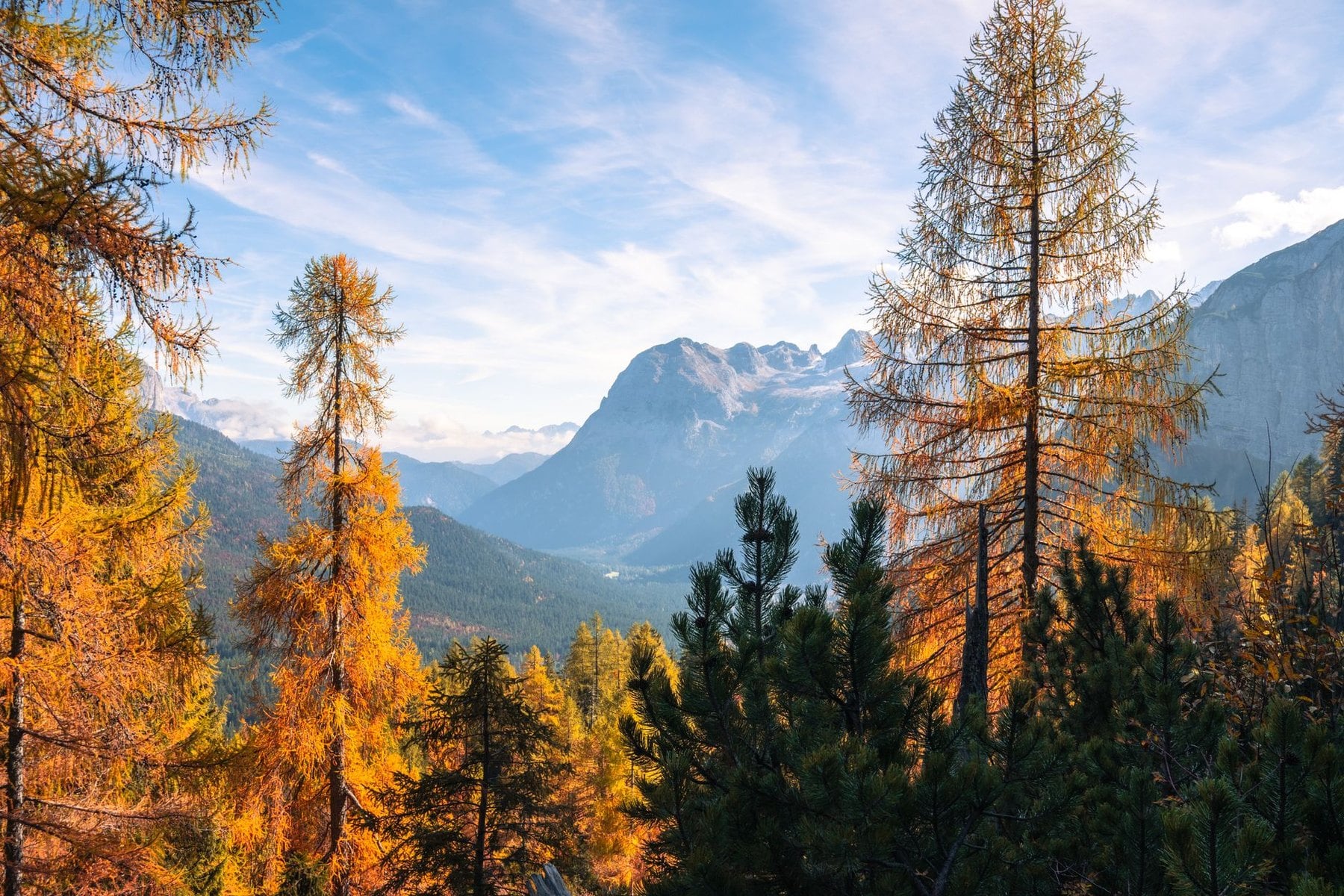
September is the best month in most years. Weather windows are more stable than August, valley temperatures sit around 15 to 20°C, and the trails empty once the school holidays end. The Allgäu meadows turn gold, the light improves for photographs, and most huts stay open to mid-October.
October still works on valley routes up to about 1,500 metres, particularly for autumn colour. Above 2,000 metres the risk climbs as early snow arrives and huts close through the month. Check individual closure dates at alpenverein.de before planning anything high in the second half of the season.
How Much Hiking in Bavaria Costs
Bavaria is not expensive to walk in, and the shape of the costs matters more than the totals. Four things drive the bill: beds, meals, transport and club membership, and on a 7-day hut route the beds dominate. Every one of them is published and set annually, so check the current rate instead of trusting a figure on a blog.
Hut nights are the largest variable, and a week on a hut route can mean six dormitory beds. The German Alpine Club publishes member and non-member rates on alpenverein.de alongside the cost of joining. Comparing the two before a multi-hut trip is worth the five minutes it takes, because the break-even point arrives sooner than people assume.
Meals sit separate from the bed, and the Bergsteigeressen keeps dinner predictable. Transport is the cheapest part of the trip. The Bayern-Ticket covers a day of unlimited regional travel across the whole state, and it is priced to reward groups, so the value per head improves with every extra person on it.
Entry to Berchtesgaden National Park is free, so no gate fees need budgeting. What remains is luggage transfer, priced per stage by the operator carrying the bags, and inn half-board on the valley routes. Both are quoted openly by the operator and by each house on its own site.
What to Pack for the Bavarian Alps
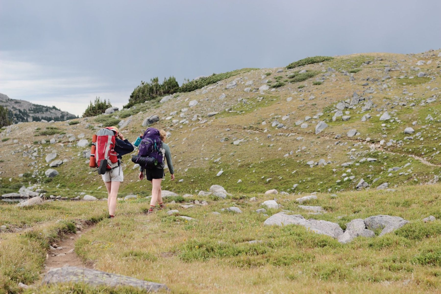
Footwear is the decision that matters most here. Limestone scree and wet rock both punish a soft sole, so the Alpine routes need a stiff boot with real tread and proper ankle support. Only the lake-district walking between Bad Tölz and Bayrischzell is forgiving enough for a lighter shoe.
Layers beat a single warm jacket every time. Dawn at hut altitude sits below 5°C in midsummer while the valley the same afternoon can reach 25°C. The gap between those two numbers is the whole packing problem, and a shell that actually keeps water out matters because afternoon storms are a planning assumption here.
A sleeping bag liner is compulsory in every German Alpine Club hut and there is no way around it. Add earplugs for a dormitory sleeping forty, a headtorch, and enough cash for the whole hut section. Bring twenties and fifties, because large notes cause problems at altitude.
Two small items pay for themselves. Fine-pointed tweezers deal with a tick inside the 24-hour window that matters, and rubber tips for trekking poles are required before entering any hut. For the Watzmann traverse, or anything with fixed cables, a via ferrata kit is not optional.
Getting to Bavaria
Munich Airport is the natural entry point. The S8 and S1 lines connect both terminals to the city centre in around 45 minutes, and from Munich every region in this guide is reachable by train. A car is unnecessary throughout and an active nuisance on a point-to-point route.
Garmisch-Partenkirchen is roughly 1 hour 20 minutes by direct regional train. The Reintal trailhead sits a short walk from the southern edge of town, so the first day can start without a taxi. Berchtesgaden takes about 2 hours 30 minutes with one connection, and its station is within half an hour's walk of the main park access points.
Bad Tölz is around 1 hour 10 minutes away and starts the lakes route. Oberstdorf is about 2 hours 45 minutes with one connection, and it serves as the gateway for both the Allgäu Höhenweg and the E5. Most valley stations have direct bus links into the mountains, and the Bayern-Fahrplan app carries current schedules.
Safety in the Bavarian Alps
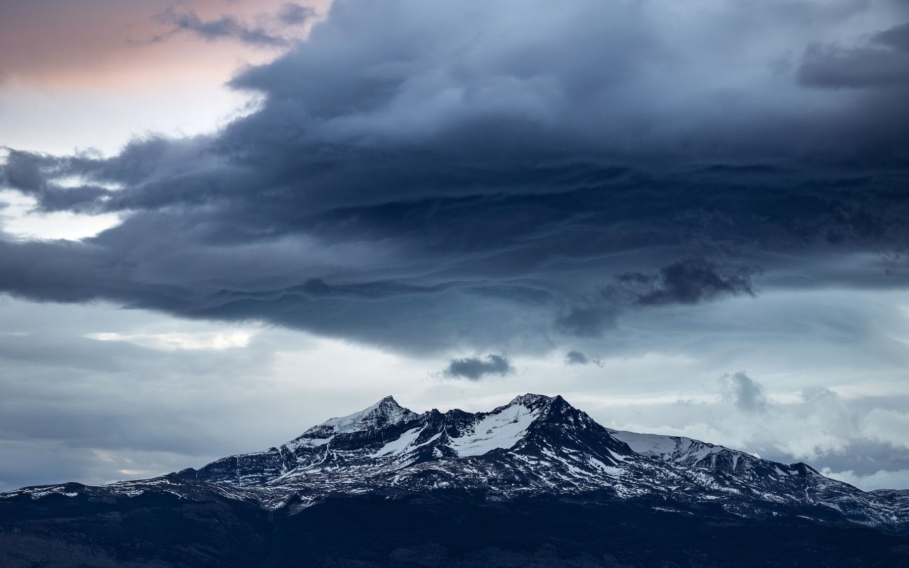
Summer afternoon thunderstorms are the single most consistent hazard here. In July and August convective cloud can build from a clear morning into a full lightning storm inside two to three hours, with the peak arriving between 14:00 and 16:00. The pattern repeats often enough to plan around.
Plan the ascent so you are off exposed ridges by noon on any day when the morning forecast shows convective development. The DWD publishes mountain-specific forecasts, and checking it the evening before matters more than checking it on the morning you walk. A hut is safe; a lone tree or a shallow overhang is not.
The other hazard particular to this range is the Föhn, a warm dry downslope wind arriving when moist air is driven over the Alps from the south. It can lift valley temperatures by 10 to 20°C within hours and push gusts past 150 km/h on exposed ridges. Its paradoxical marker is exceptional visibility, so unusually sharp views of the Alps from Munich are a warning rather than an invitation.
When the Föhn breaks down it usually brings a severe front with it, so a Föhn warning means staying off high exposed terrain entirely. The emergency number is 112 across Germany and the EU. Club members are covered for substantial rescue costs under the Alpine Safety Service, and non-members should arrange mountain rescue insurance before arriving.
Permits, Camping and Water
No permit is needed for any route in this guide, including everything inside Berchtesgaden National Park, and entry to the park is free. Wild camping is restricted to designated areas, and bivouacking on open mountain terrain is not permitted in most of the range. Overnight stays mean an authorised hut or valley accommodation.
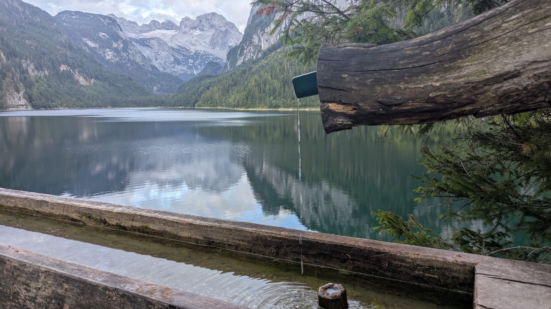
Tap water is safe throughout Bavaria including in the mountain resorts, and most hut spring supplies are tested by local authorities. Stream water above the cattle grazing zone at roughly 1,800 metres is generally fine. Below that the runoff risk is real enough to be worth a filter or a detour.
Valley towns and the major cable car summits have full mobile coverage. Gorges, steep valley sections and most remote terrain above 1,800 metres are patchy or dark, so download offline maps before leaving the valley. Carry a whistle as backup, because six blasts a minute is the international distress signal.
Frequently Asked Questions
Which Bavarian Route to Choose
Bavaria offers multi-day walking across a wider range of difficulty than almost any other Alpine region. It runs from inn-to-inn days through the Tegernsee lakes to a via ferrata circuit of a 2,713-metre peak. The infrastructure for self-guided touring is exceptional across all four regions: the huts, the trains and the signing.
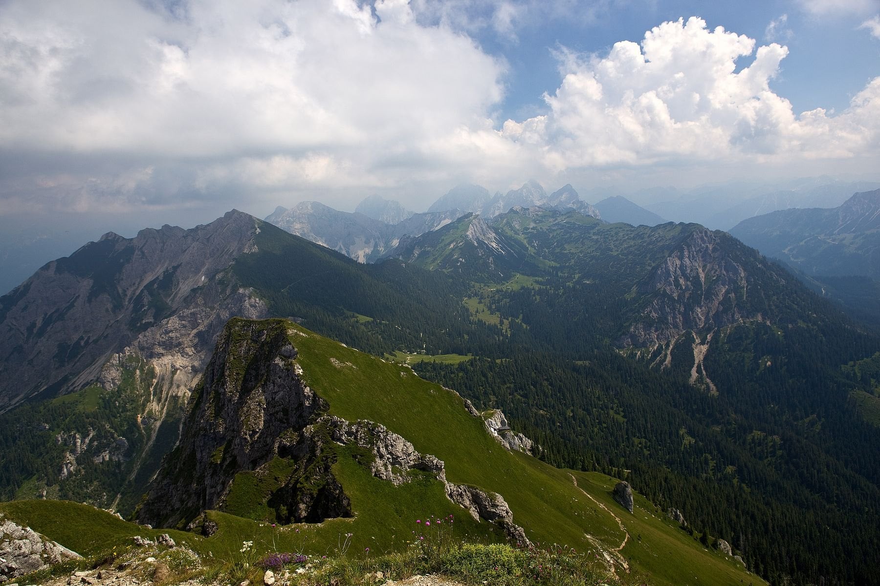
The hardest part of a Bavarian trip is rarely the walking. The difficulty lies in choosing between routes that look similar on paper and are nothing alike underfoot, because the Reintal and the Circuit start in the same town and demand completely different things of you. One is a summit push with a hut at 2,052 metres; the other is a week of valley inns.
If you are not sure which one matches your fitness, your season or the time you have, get in touch.

About this author
Jon is our travel advisor and an outdoor adventurer who is happiest on the move. While mountain biking is his personal passion, he thrives on crafting hiking adventures for others — planning routes and adding the little touches that turn a trip into a core memory.












































.jpg&w=828&q=75)