Hiking in Patagonia: The Ultimate Guide
Two countries, two systems and one very large wind. The hikes worth planning a trip around, and what Torres del Paine asks of you before you may walk it.

Anja
Published October 2, 2026
Edited October 2, 2026
17 min read
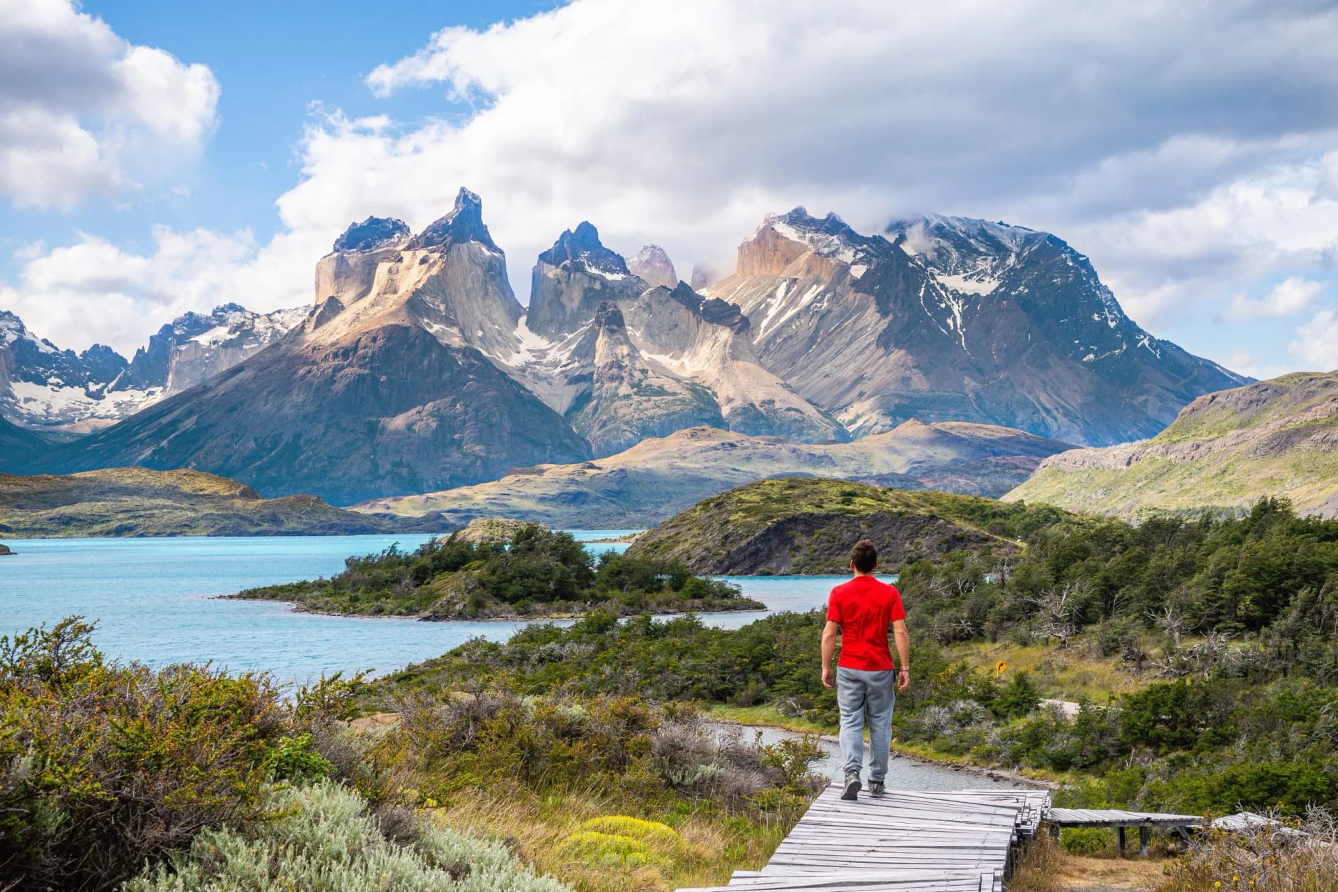
Quick links
Don't want to read all this?
We've planned 2,000+ hiking trips. Send your dates, fitness and group size — we'll map the route and book every night.



Patagonia is usually pictured as a single trail with a single famous view. It is a region shared by two countries, and Chile and Argentina run their mountains on opposite systems. On the Chilean side you cannot set foot on the main circuit without a confirmed bed or tent site for every night of the walk. On the Argentine side the trails to the most photographed peaks in South America start at the end of a village street.
That difference decides almost everything about a trip here: how far ahead you book, how much freedom you keep once you arrive, and what happens when the weather turns. The planning problem in Patagonia is availability, not navigation. The trails themselves are waymarked, walked by thousands of people a season, and almost never technical.
What is genuinely serious is the wind. This guide covers the hikes worth building a trip around, how the W and the O actually work, what the two countries ask of you, and the rules that were written by storms.
The Hikes Worth Building a Trip Around
Six walks carry most of the traffic in southern Patagonia. Three sit inside Torres del Paine in Chile and form the arms of the W. Two start from the Argentine village of El Chaltén. The sixth is not really a hike at all, and it is worth knowing that before you plan a day around it.
Distances below are round trips from the usual starting point. Where the figure comes from our own itineraries it is exact, because it is measured on the ground we walk. Everything else is marked with a tilde.
Mirador Las Torres
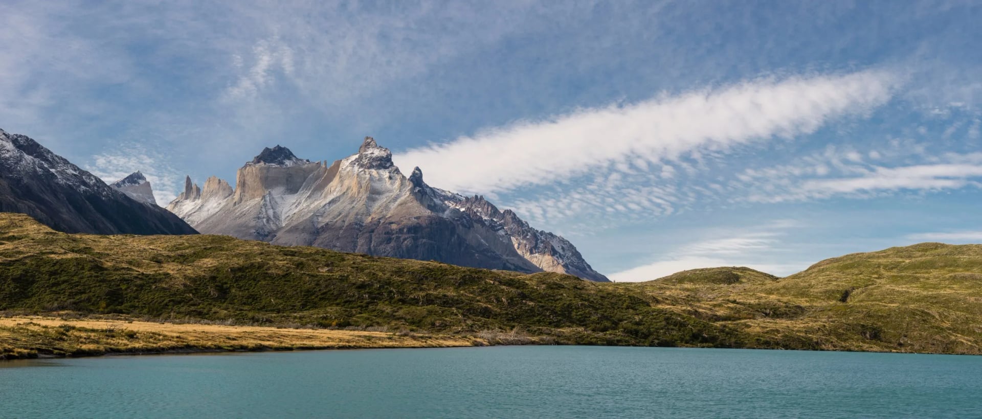
The three granite towers are the image that sells Patagonia, and reaching their base is a long day rather than a difficult one. Our own itinerary walks it as 20 km with over 1,100 m of ascent and the same in descent, from the Torre Central sector up through the Ascencio valley. The last 45 minutes climb a boulder slope that has no path so much as a line of markers between rocks. Only the final section feels like mountain ground.
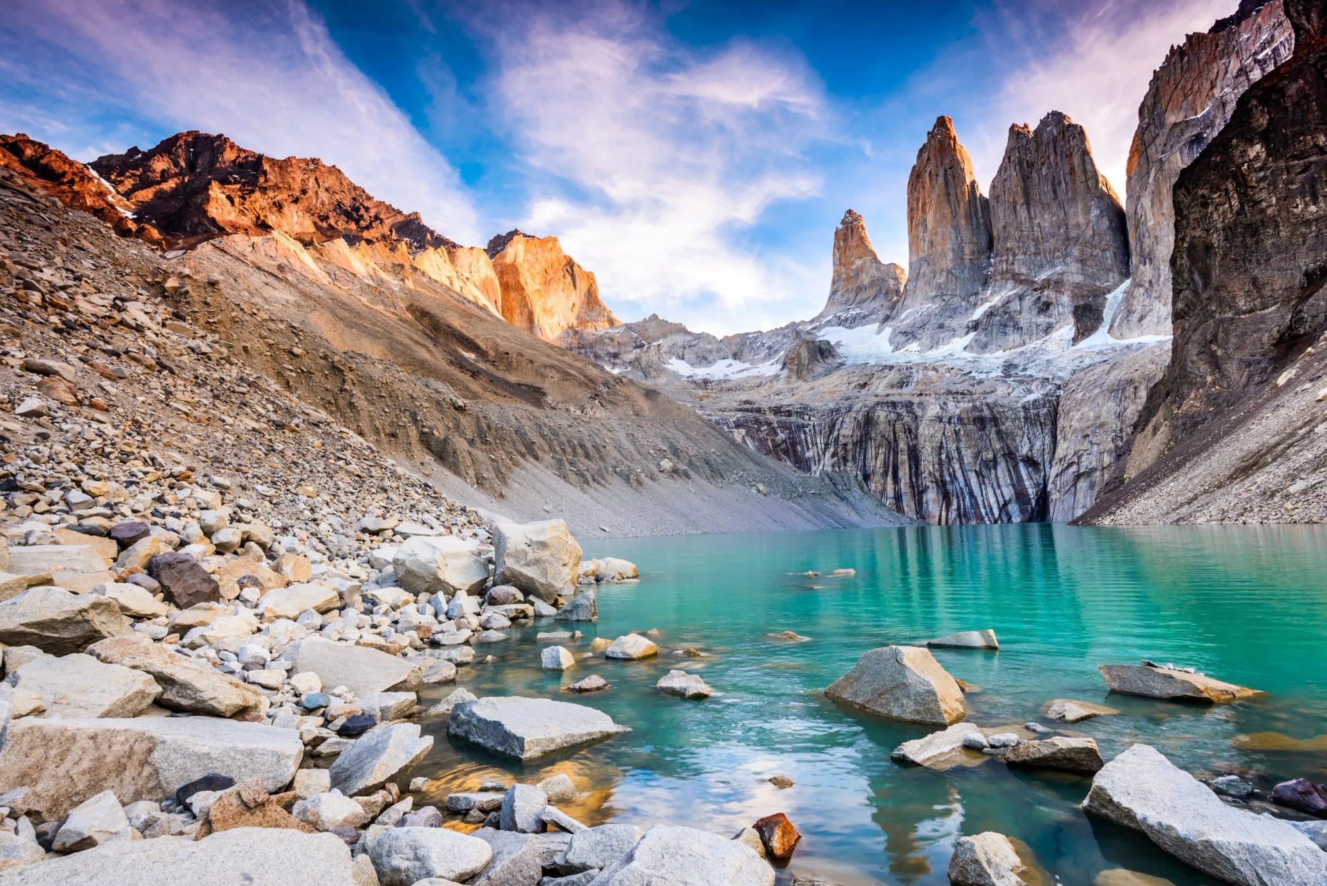
The lagoon at the top sits directly beneath the towers, which means the view is entirely at the mercy of cloud. Walkers staying at the refugio part way up the valley can start before dawn and be there for first light, when the granite turns orange for about twenty minutes. Anyone walking it from the park entrance in a single day arrives in the middle of the day, when the towers are most often covered.
The French Valley
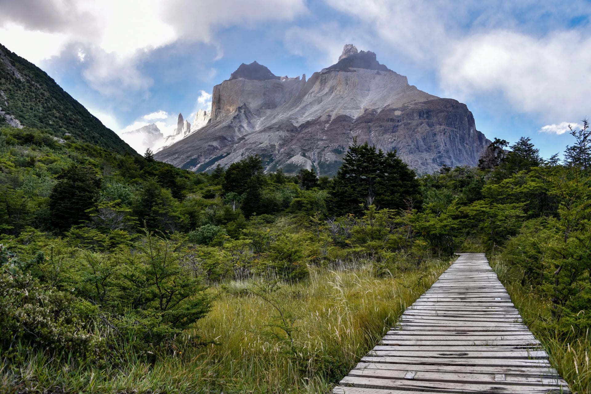
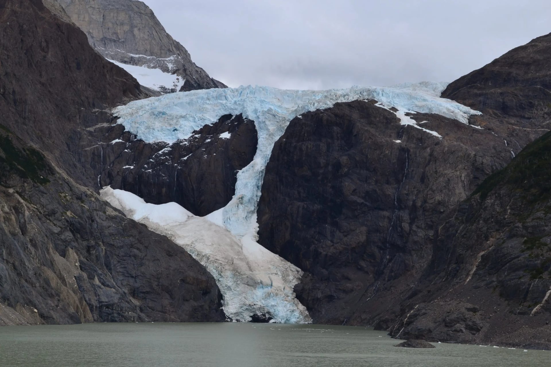
Cut into the center of the Paine massif, the French Valley is the middle arm of the W and the one that feels least like a viewpoint and most like standing inside the mountain. Our route covers 24 km with 820 m of ascent and 860 m of descent, the longest walking day on the W Trek. The valley opens into an amphitheatre of walls with a hanging glacier on one side.
That glacier is why people stop for longer here than anywhere else on the route. Ice breaks off the face through the day and the sound arrives several seconds after the movement, which catches out everyone the first time. Give the French Valley more time than the distance suggests.
Grey Glacier
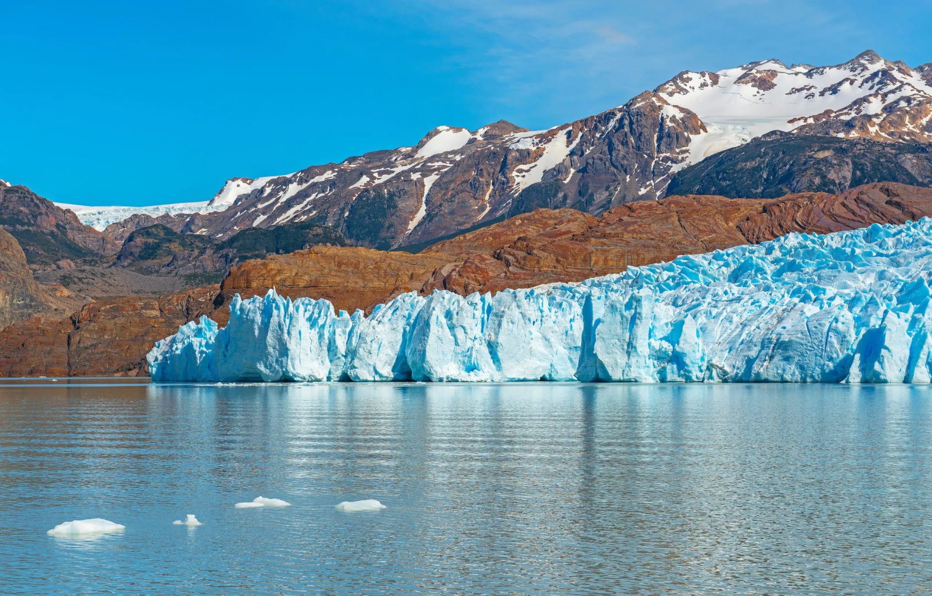
Grey is the arm of the W that touches the Southern Patagonian Ice Field, a body of ice covering roughly 12,000 square kilometers and the largest outside the polar regions. Our walking day to the glacier viewpoints is 11 km with 330 m of ascent, which makes it the gentlest day on the trek. The face of the glacier is several kilometers wide and calves icebergs into the lake below it. Grey is the easiest day and the biggest scale.
Most walkers see Grey twice, once on foot from the trail above the lake and once from the water on the way out. The boat crossing runs the length of the lake past the ice front, and it is included on our W Trek. Ice that has broken off drifts down the lake for days, so the shore at the far end is usually littered with blue fragments.
Laguna de los Tres
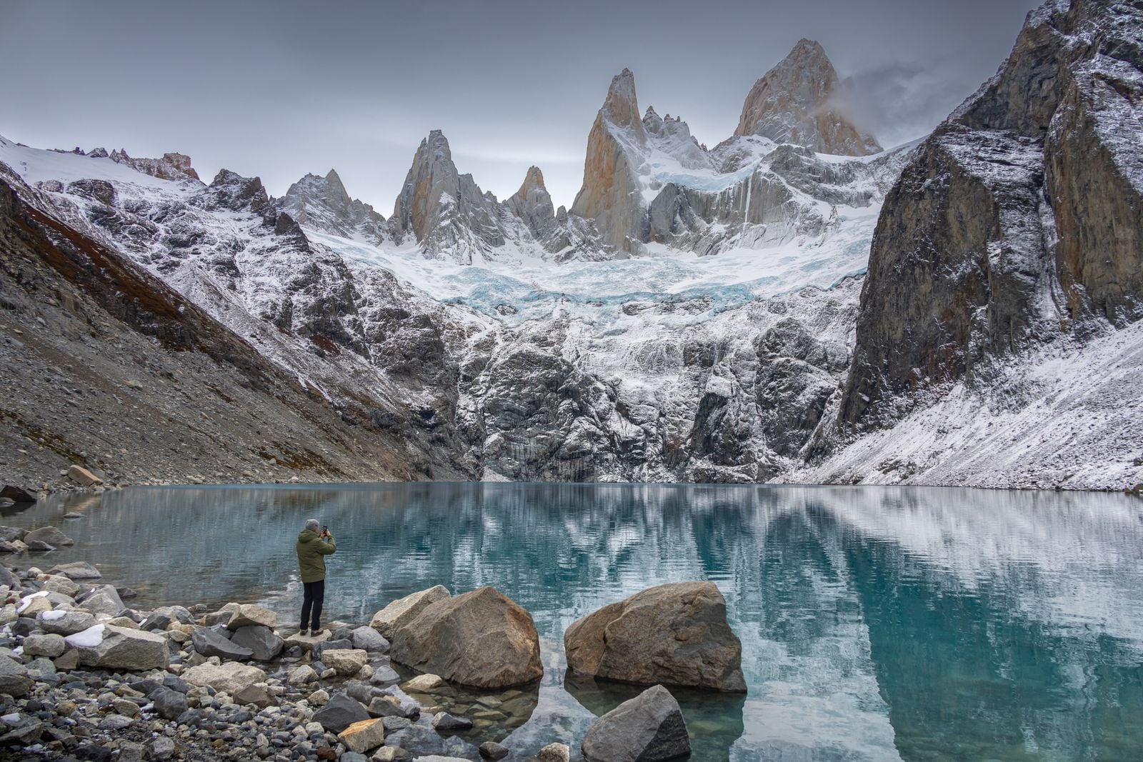
This is the Argentine equivalent of Las Torres, and the numbers are close: roughly 21 km round trip from El Chaltén with about 1,000 m of ascent, most of it in the final kilometre. The last section climbs a steep moraine slope that takes around an hour and is the only part anyone remembers as hard. At the top, Monte Fitz Roy stands directly across a glacial lagoon.
The important difference is at the start. The trailhead is a street corner in the village. There is no shuttle, no gate to queue at and no accommodation chain to have booked months earlier, which is why El Chaltén works so well for walkers who want to decide in the morning based on the sky.
Laguna Torre
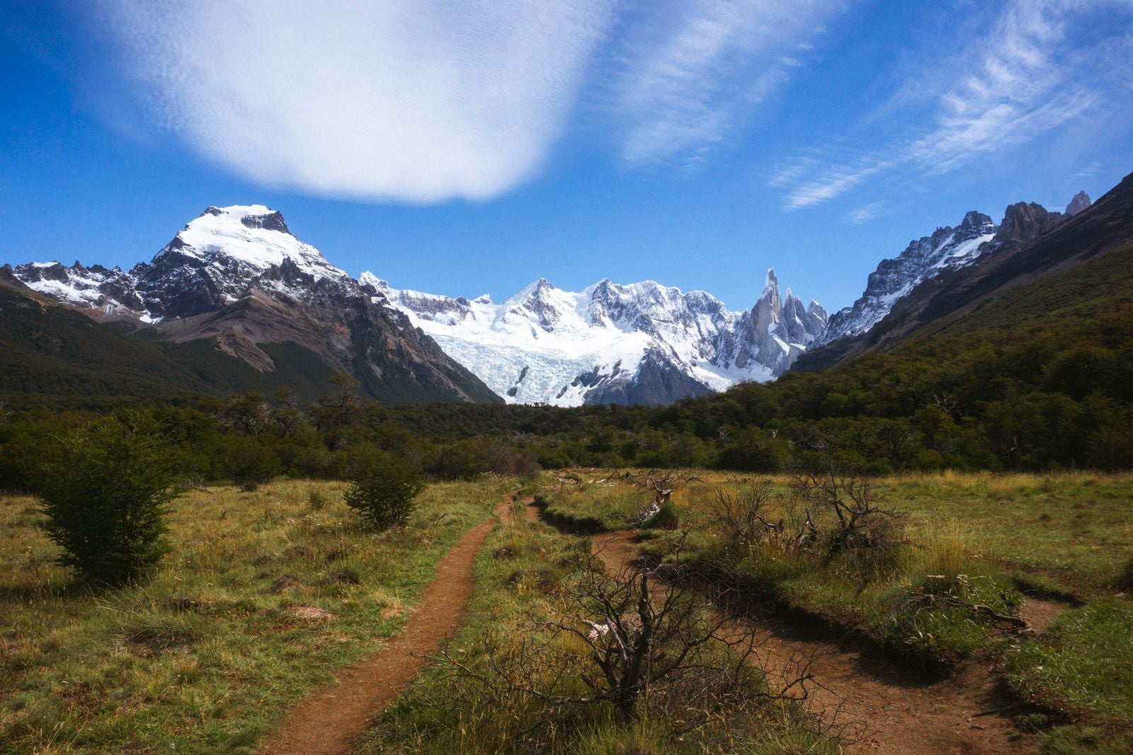
Shorter and far flatter than its neighbour, Laguna Torre runs roughly 18 km round trip with about 500 m of ascent, and it ends at a milky lake below Cerro Torre. It is the obvious first walk for anyone arriving in El Chaltén who wants to move after a long bus journey without committing to a full day of climbing. Most people take around five hours.
Cerro Torre is a slender granite spire with a mushroom of rime ice on its summit, and it is in cloud more often than not. Walkers who reach the lake and see nothing have plenty of company. The lake, the glacier feeding it and the icebergs on its surface are worth the walk on their own.
Perito Moreno Glacier
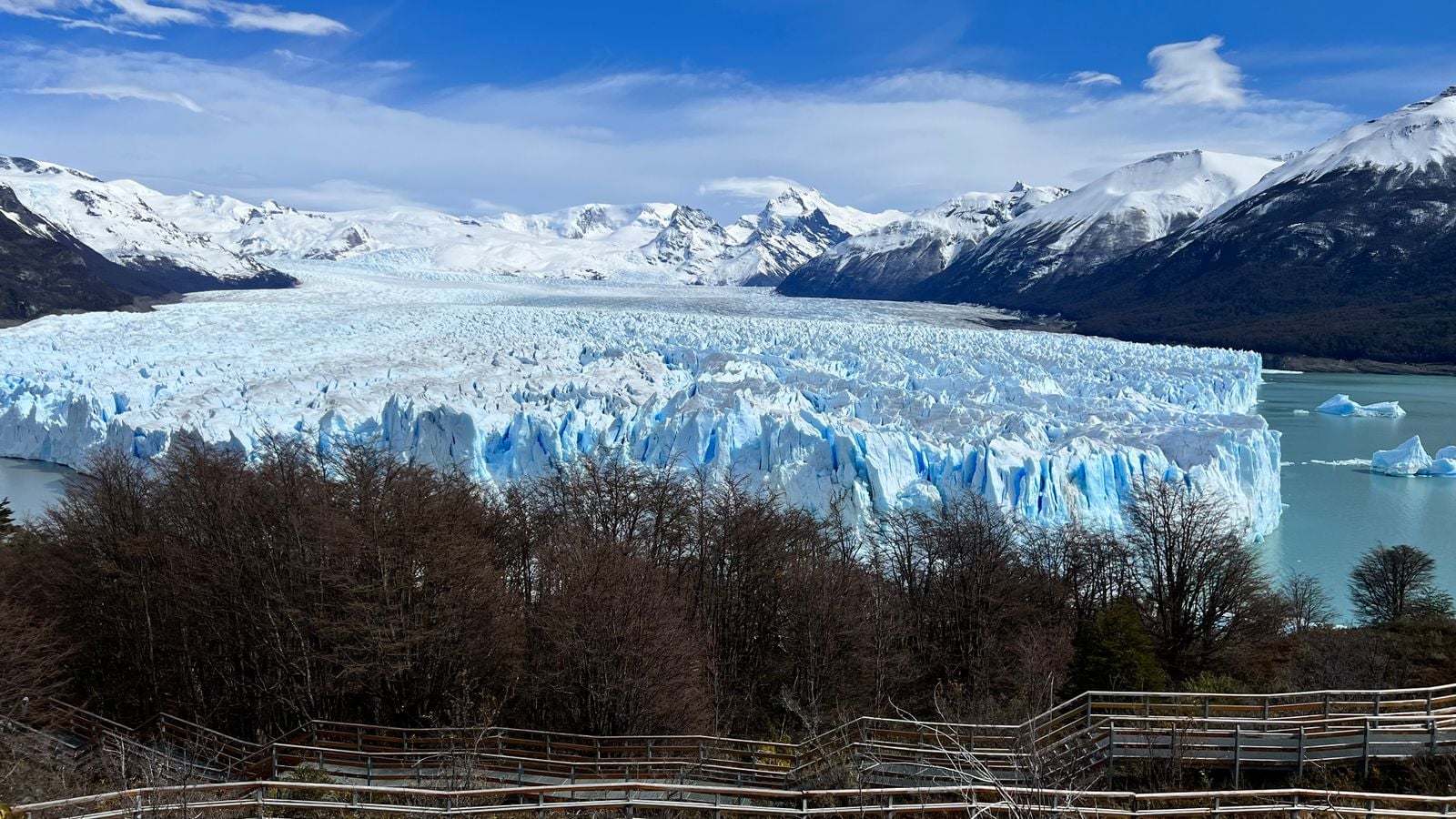
Perito Moreno is on almost every list of Patagonian hikes and it is not one. The site is a network of steel walkways descending the hillside opposite the ice front, totalling a few kilometers with about 180 m of height between the top and the lowest balcony. You can walk on the glacier itself, but only with a licensed operator and crampons they supply.
What makes it worth a day is the calving. The glacier front stands around 70 m above the water and pushes forward year round, so blocks the size of buildings drop off it while you watch. Treat Perito Moreno as a viewing day, not a walking day, and plan a real hike for the day either side.
The W and the O, Explained
Both routes are named for the shape they draw on a map of the Paine massif. The W runs up and back down three valleys along the southern face, which is why it looks like the letter. The O adds the entire back side of the massif to make a loop, with the W forming its bottom edge.
In practice the W is the introduction and the O is the commitment. Our W Trek covers four walking days inside a seven-day trip, with the longest at 24 km and the biggest climb over 1,100 m, and we grade it 3 out of 5 for both fitness and technical demand. Our O Circuit covers seven walking days inside ten, roughly 135 km in total, and is graded 4 out of 5 for fitness.
The back side changes the character of the trip rather than just its length. There are no road connections, no day walkers and no way to shorten a stage once you have started it, and the two campsites out there are small. The O is a committing route because leaving it early is difficult.
The other difference is the direction of travel. The O is walked counter-clockwise only, which means everyone crosses the high pass in the same direction on the same morning, and the season is shorter: our O Circuit runs November to March, while the W Trek runs September to April.
Chile or Argentina: Two Countries, Two Systems
The Chilean side is organized around Torres del Paine, a single park that concentrates the famous walking into one massif. Entry tickets are bought online by sector before you arrive, and every night inside the park has to be spent at a designated refugio or campsite that you have already reserved. Rangers check the chain of bookings at the entrance.
Argentina puts its best-known peaks above a village instead of inside a controlled circuit. El Chaltén sits at the northern end of Los Glaciares National Park, and the paths to Laguna de los Tres, Laguna Torre and half a dozen viewpoints leave directly from its streets. Walkers register at the park office on arrival and then choose their day each morning.
The two systems reward opposite planning styles. Chile suits anyone who wants the route settled before they fly and is happy to walk a fixed stage each day. Argentina suits anyone who would rather keep the itinerary loose and let the weather pick the walk, which in a place with this much cloud is a real advantage.
Most trips do both, and the practical link between them is the road from Puerto Natales to El Calafate and on to El Chaltén, with a border crossing in the middle. Allow a full travel day for it. Bus schedules thin out sharply outside the summer months.
What the Wind Actually Does
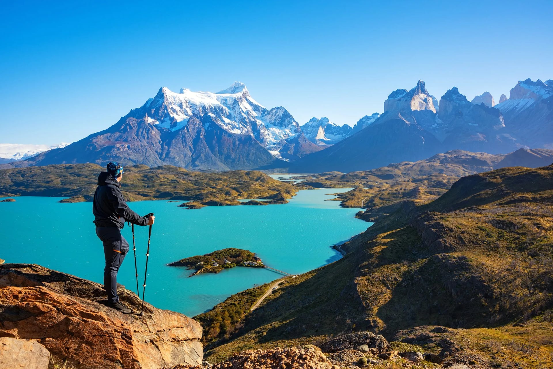
Southern Patagonia sits in the path of the westerlies with no landmass to slow them, and the wind is the reason the walking here is harder than the profiles suggest. On exposed ground it arrives in gusts strong enough to stop you mid-stride, and on lake shores it lifts spray off the water. Nothing about the terrain on the W or the O is technical. The weather is what makes it serious.
The rules on the O Circuit were written by one storm. On 17 November 2025 a blizzard caught walkers on the exposed stretch between Los Perros and Paso John Gardner, the 1,241 m saddle that is the high point of the loop. Gusts reached around 193 km/h, the temperature was near minus 5 °C, and five hikers died. Campsite staff that morning had forecast maximum winds of about 100 km/h.
CONAF, the Chilean forestry body that runs the park, closed the circuit and reopened it on 9 December 2025 under new conditions. The back side now takes a maximum of 100 people a day, travel is one-way only, registration at the Coirón ranger station is compulsory, and two rangers are posted to each of the high-risk sectors at Dickson, Los Perros and the pass itself.
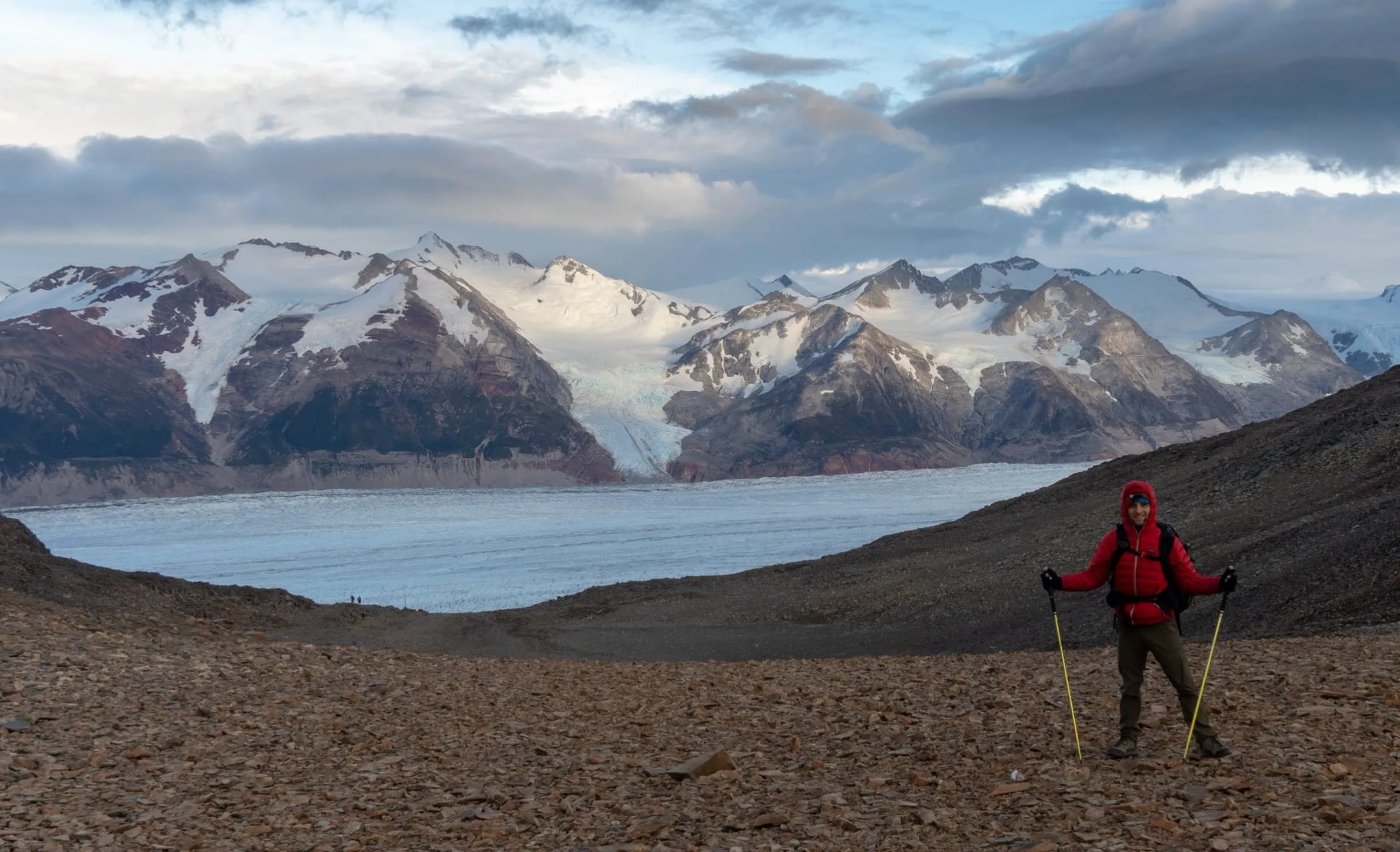
For anyone planning a trip, the practical consequences are simple. Cross the pass early, because the wind builds through the morning. Carry proper shell layers and gloves even on a forecast of sun, since the pass makes its own weather. A ranger holding you at a campsite is the forecast, because they are reading conditions you cannot see from below.
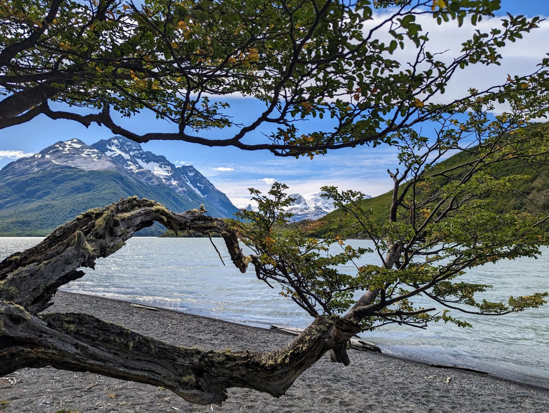
The wind also explains the shape of everything that grows here. Lenga trees on the exposed shores lean permanently downwind, and on the ridges they stay knee height whatever their age. It is a useful thing to notice on day one, because it tells you which way the weather comes from before you have felt it.
Where You Sleep, and Why You Book It First
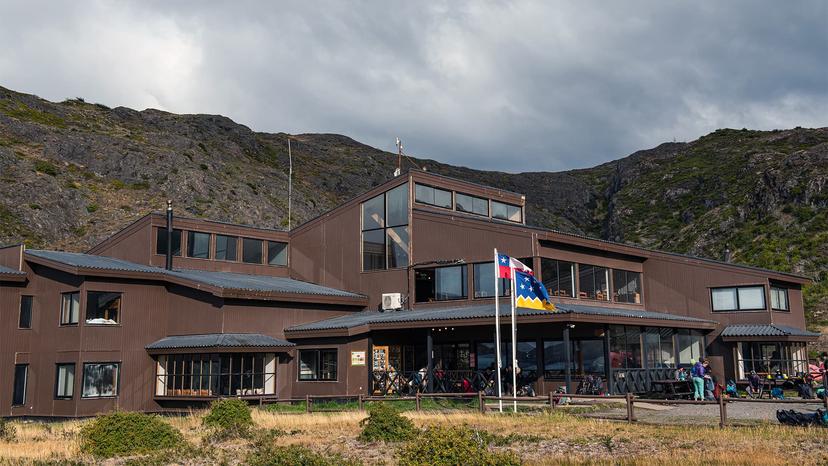
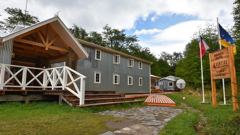
Inside Torres del Paine, wild camping is prohibited. Every night has to be spent at one of the designated sites along the route, and you must hold a reservation for each one before you are allowed to start walking. The sites are run by three different bodies: CONAF, which operates the free campsites, and two concession holders, Vértice and Las Torres, which run the rest.
This is the part that catches people out. Three separate booking systems have to line up on consecutive dates. A single full night in the middle of your chain breaks the whole itinerary, and by mid-season the January and February beds on the popular sections are long gone. Booking for the following season generally opens between April and June, with the two concessionaires opening weeks apart rather than together.
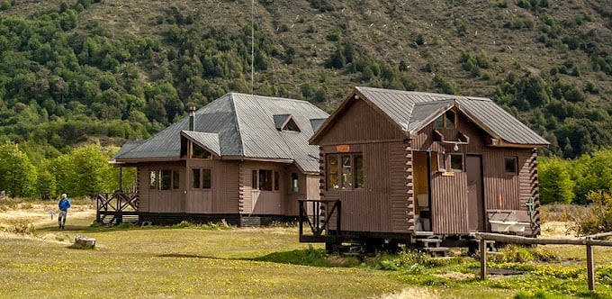
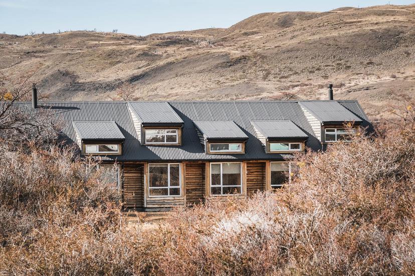
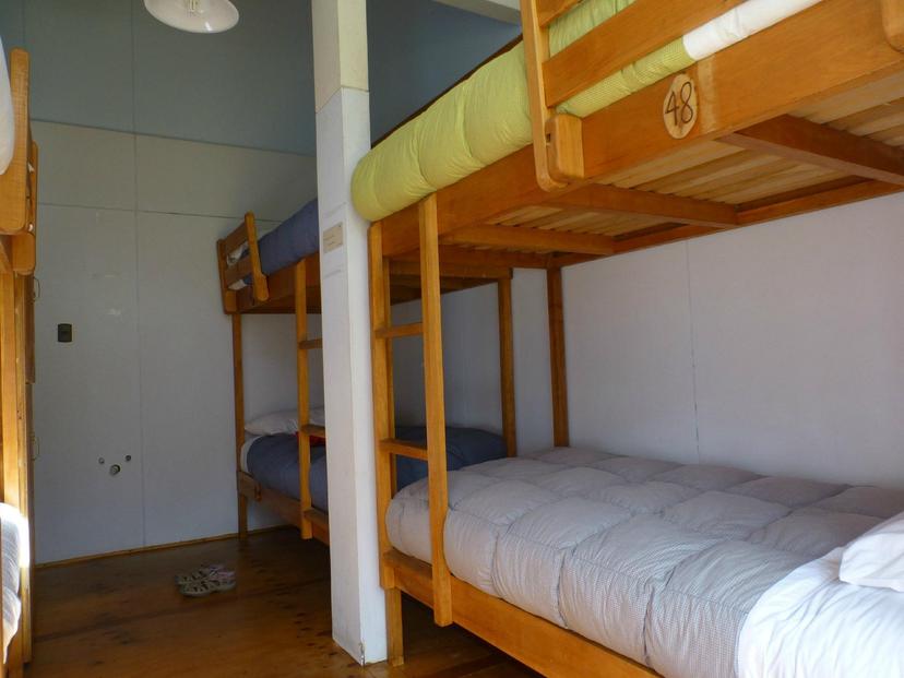
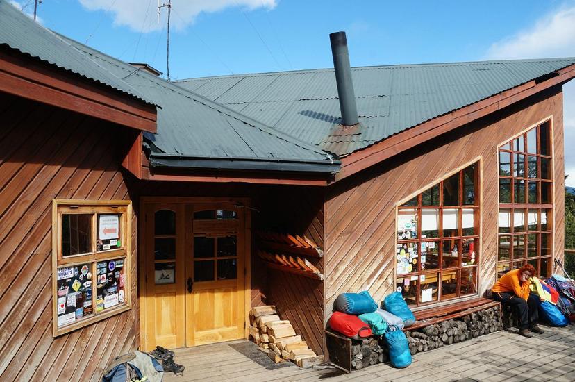
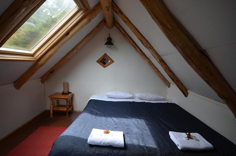
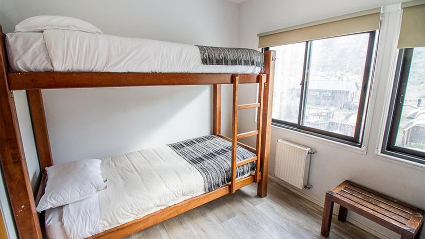
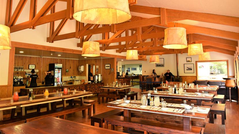
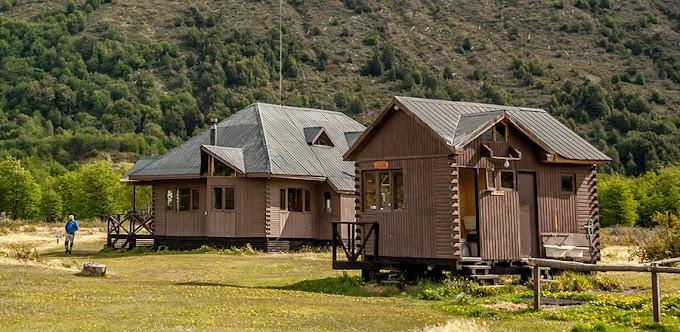
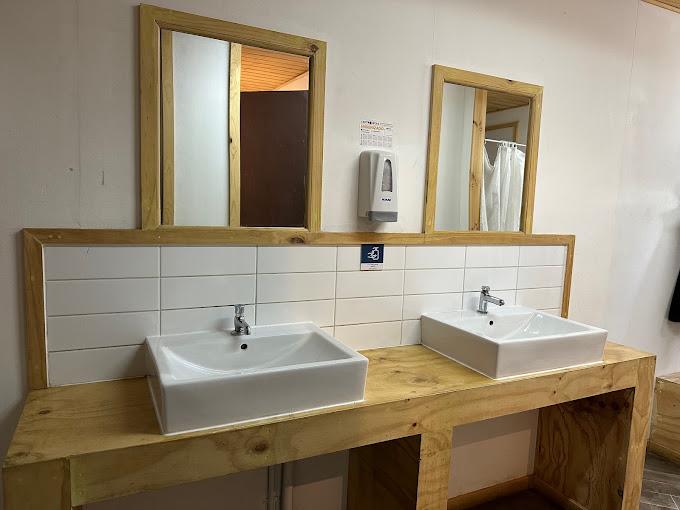
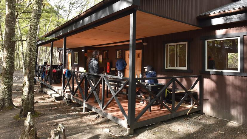
What you get varies more than the word refugio suggests. The larger sites have bunk rooms with bedding, hot showers, a shop and meals you can buy; the smaller ones on the back side have platform tents, cold showers and a shelter to cook in. All of them are open through the trekking season only, and all of them fill.
Best Time to Hike in Patagonia
The walking season in southern Patagonia runs from roughly September to April, and the months inside it are genuinely different rather than slightly different. Our W Trek operates September to April; our O Circuit, which crosses higher and more exposed ground, runs November to March only. Daylight is the quiet advantage of the southern summer: in December the light lasts past ten in the evening.
There is no month without wind, and the windiest stretch is the middle of summer. Trading some of the warmth for calmer air is the single best reason to walk in the shoulder months.
When to Walk
Peak season. Days run past ten in the evening, every service is open and the wind is at its strongest. Beds on the popular sections are booked six to twelve months ahead.
Autumn. The beech turns red and the wind eases as the crowds thin. Our W Trek runs to the end of April; the O Circuit closes at the end of March.
Spring. Quiet trails, fresh snow on the high ground and fewer services open. The W Trek starts in September, the O Circuit not until November because the pass holds snow.
Winter. The circuits close, daylight drops to around eight hours and the refugios shut. Only short walks near the park entrances stay open.
How Hard Is It, Really?
It depends on which Patagonia you mean. A day walk from El Chaltén to Laguna Torre is about 18 km on gentle ground and is within reach of anyone who walks regularly at home. The base of the towers, at roughly 20 km and over 1,100 m of climb, is a long day that rewards some training. The O Circuit asks for seven of those in a row while carrying what you need.
None of it is technical. There is no scrambling, no exposure that needs a head for heights and no altitude to speak of, since the high point of the O sits at 1,241 m. What tires people here is the hours, not the gradient. Stages regularly run eight to ten hours, and doing that on consecutive days in wind is a different proposition from doing it once.
Beginners do the W every season, and they do it comfortably when the trip is built with a refugio each night and a bag carried only for the day. The two things that catch out fit walkers are underestimating the last climb to the towers and packing for the forecast rather than for the place.
Planning Your Patagonia Trek
Tickets, Permits and Registration
Torres del Paine tickets are bought online in advance, by sector and by length of stay, and you show them together with your accommodation bookings at the park entrance. Walkers doing the O Circuit must also register in person at the Coirón ranger station, and the back side is capped at 100 people a day. Arriving without the paperwork is not a queue you can join on the morning, it is a refused entry.
Argentina asks for much less. Walkers heading out from El Chaltén register at the park office in the village, which takes a few minutes and gets you a current read on trail conditions from a ranger. Access arrangements on the northern trails have been changing in recent seasons, so confirm what is in force when you arrive rather than relying on a guide written two years ago.
Fire, Stoves and Where You May Camp
In 2011 a fire started by a visitor burned about 17,000 hectares of Torres del Paine, and the rules written after it are enforced rather than advertised. Open fires are banned under Chilean law. Camping stoves may be used only inside the designated cooking shelters at the campsites, never on the trail and never at a tent.
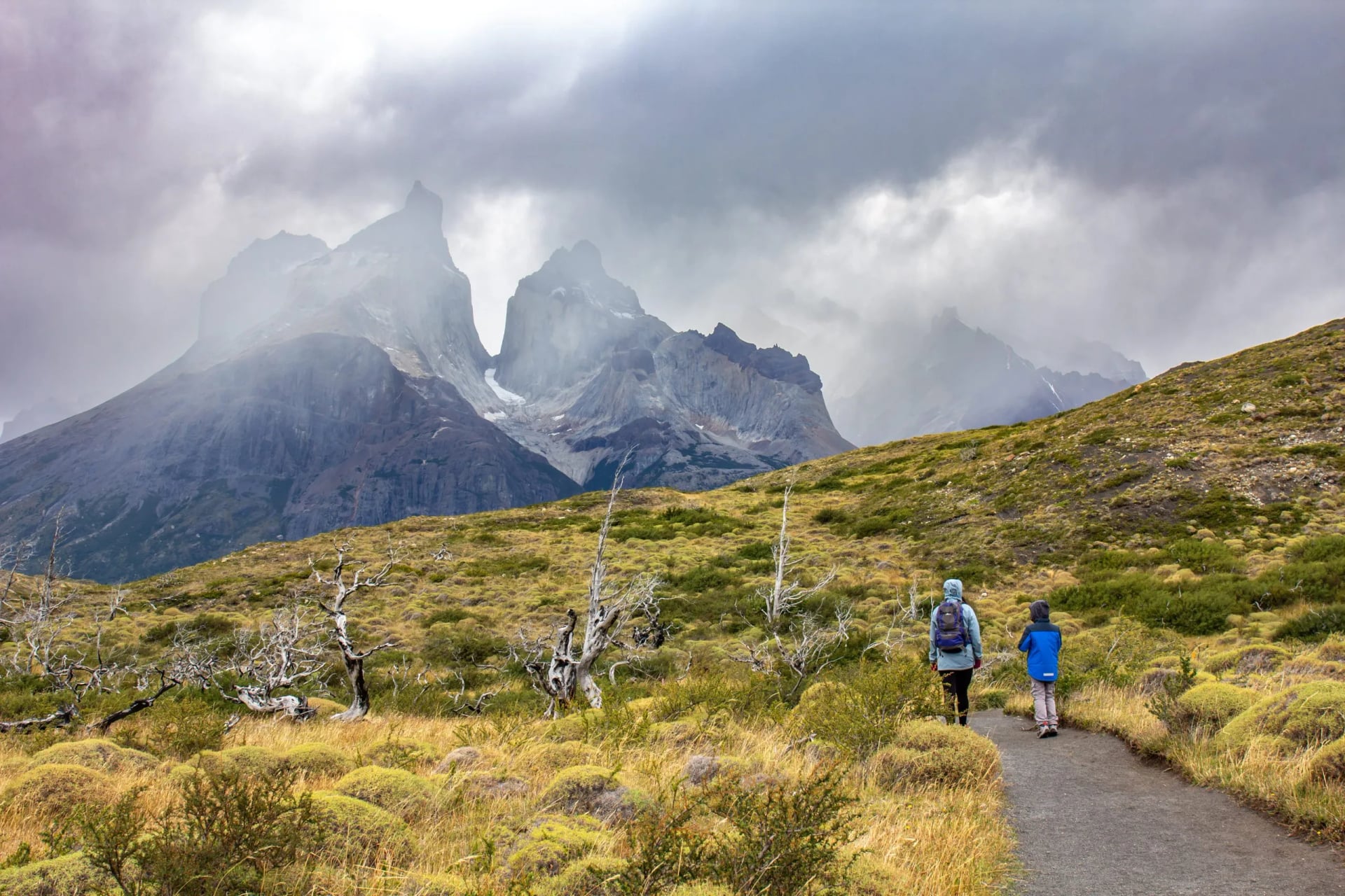
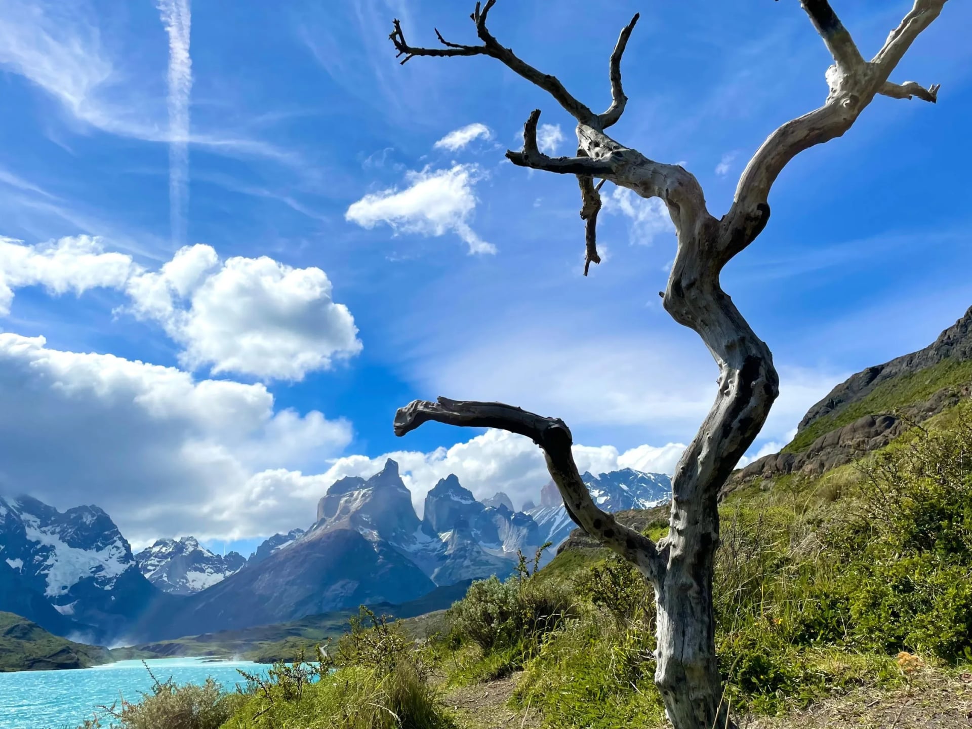
The bleached skeletons of lenga trees you walk past on the southern shore of Lake Pehoé are the 2011 burn, and they are the reason a rule that sounds fussy is treated as serious. Camping outside a designated site is prohibited anywhere in the park.
Getting There and Getting Around
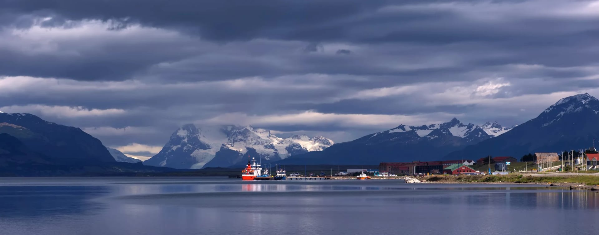
Most trips into Chilean Patagonia arrive through Punta Arenas and then take the road north to Puerto Natales, the staging town for the park and the start and finish of our W Trek. Our O Circuit begins and ends in Punta Arenas itself. Buses between the two towns run several times a day in season and thin out sharply outside it.
The Argentine side is reached through El Calafate, with a further three hours by road north to El Chaltén. Linking the two countries takes a full travel day on the Puerto Natales to El Calafate road, with a border crossing in the middle that closes early in the evening. Build a spare day into any itinerary that crosses the border before a flight.
Food, Water and What to Carry
Water on both circuits comes from streams and is generally drunk untreated by walkers and staff alike, though a filter costs almost nothing in weight. Meals can be bought at the larger sites if you reserve them along with your bed, and the campsite shops carry basics at a markup that reflects how they arrive. The back side of the O has the least of everything, so carry the days you need.
A windproof shell and warm gloves are not optional in any month of the season. Trekking poles earn their place on the descent from the towers and on the drop off the pass, which loses 1,400 m on our itinerary. Anyone camping rather than sleeping in bunk rooms needs a bag rated well below the overnight temperatures, which fall close to freezing on the back side even in midsummer.
Frequently Asked Questions
Frequently Asked Questions

About this author
Anja is our lead travel advisor and a lifelong hiker who has planned countless adventures across Europe. She prefers sunsets to sunrises — unless coffee is involved — and, ever since her first rock-climbing course, joins friends on climbing trips whenever she can.














.jpg&w=828&q=75)




















































.jpg&w=828&q=75)























