Hiking in the UK: 12 Best Trails by Landscape
The 12 best trails for hiking in the UK, grouped by the six landscapes they cross, with real distances, walking days and where every route starts.

Jon
Published August 11, 2026
Edited September 14, 2026
33 min read
Quick links
Britain is a island carrying a surprising amount of walking. Inside one week you can follow sea cliffs above Atlantic surf, cross a moor where nothing grows above knee height, climb a rock ridge into cloud, and finish along a river through water meadows. The distances between those landscapes are short. The differences between them are total.
Nothing here is high. Ben Nevis, the highest mountain in the United Kingdom, reaches 1,345 metres, and the summits of England and Wales fall lower still. What Britain has instead is age. The path network was walked for so long it was written into law, and the villages sit at the spacing a person covers in a day.
That produces a particular kind of trip. Hiking in the UK usually means walking from one settlement to the next with a daypack, sleeping in a pub, an inn or a guesthouse, and covering ground horizontally. The great British routes are lines drawn across the country instead of up it, and the crossing is the point of walking one.
Three countries share the island and they do not feel alike on foot, so where you start changes the walking more than the mileage does. Our destination pages for England and Scotland list what runs in each, and Wales is the third.
The shortlist comes first below: twelve routes with the distance, the number of days each usually takes and where it starts. After that come the six landscapes those routes cross, and everything you need to plan a week on one of them.
Quick Facts
Walking season: April to October, with May, early June and September the strongest months
Typical day: 12 to 22 kilometres on a waymarked long distance path
Highest point: Ben Nevis, 1,345 metres, in the Scottish Highlands
Waymarked networks: 17 National Trails in England and Wales, 29 Great Trails in Scotland
Where you sleep: inns, pubs with rooms, guesthouses and hostels, with no hut system
What you carry: a daypack, because luggage transfer by road is standard
Maps: Ordnance Survey Explorer sheets at 1:25,000
Money: pound sterling throughout, with cards accepted almost everywhere
The 12 Best Trails in the UK
These are the routes worth building a trip around, ordered from the wildest to the gentlest. Distances and start points come from the trail authorities, and the walking days are the duration those authorities suggest rather than a record attempt. Every one of them can be walked in sections, which is how most visitors with a week rather than a month actually do it.
1. Cape Wrath Trail
Distance: around 230 miles / 370 km
Walking days: 16 to 22
Start: Fort William, Highland
Landscape: Highland glen and moor
This is the hardest long walk in Britain and the only route here with no waymarking at all. The line runs north west from Fort William through Knoydart, Torridon and Assynt to the lighthouse at Cape Wrath, and there is no single official route, so the published distance moves with the variant you pick.
What makes it hard is not the climbing. Rivers are unbridged and rise fast after rain, the ground is pathless for long stretches, and resupply can sit four or five days apart. Navigation in cloud on that terrain is a real skill rather than a precaution.
It suits experienced backpackers carrying a tent and several days of food, and it is the wrong choice for a first British long walk. If the emptiness is the appeal but the self-sufficiency is not, the West Highland Way crosses the same kind of country with a bed and a cooked meal at the end of every day.
Go in May or early June, before the bracken is up and while the rivers are usually low enough to wade. Late summer brings midges to the glens in numbers that make camping miserable, and autumn brings spate rivers that can strand you for a day. Nobody should count on phone signal for any part of it.
2. West Highland Way
Distance: 96 miles / 154 km
Walking days: 7 to 8
Start: Milngavie, on the edge of Glasgow
Landscape: Highland glen and moor
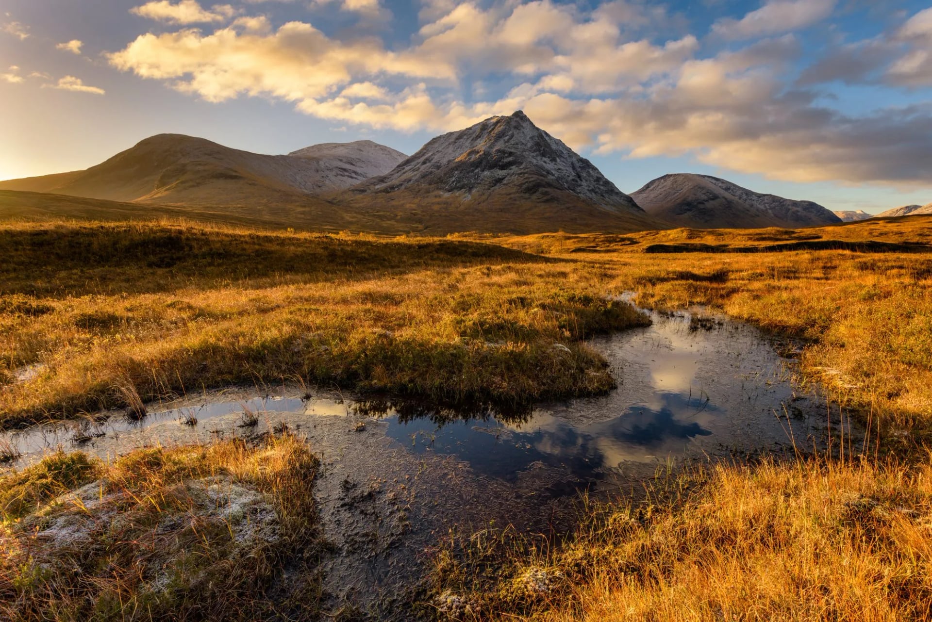
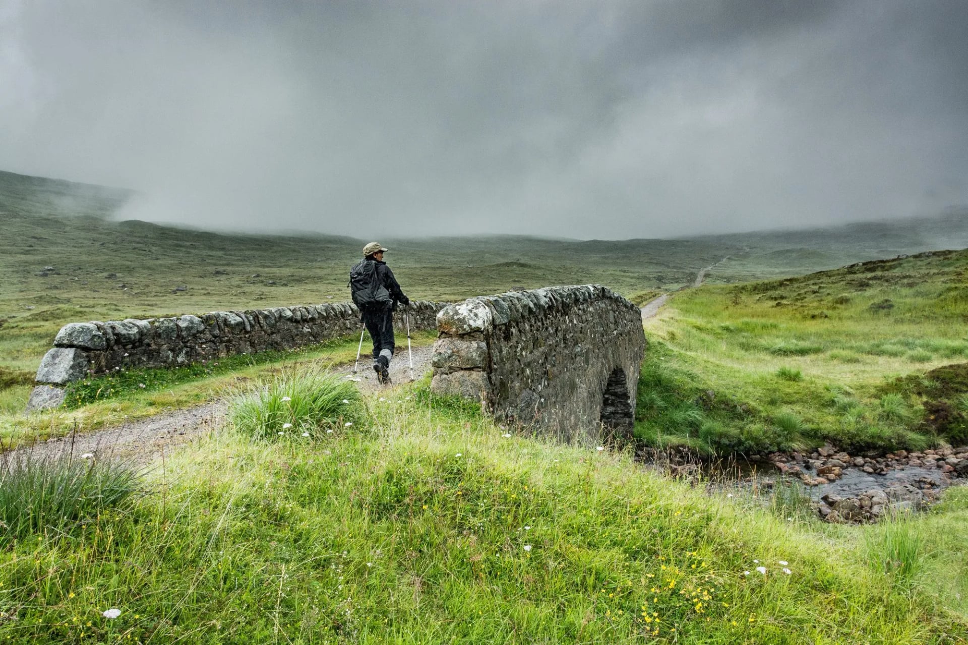
The West Highland Way is the route most visitors walk first, and it earns the position. It leaves the northern edge of Glasgow, runs up the east shore of Loch Lomond, crosses Rannoch Moor on an old military road and finishes under Ben Nevis at Fort William. The scenery improves every single day, which is rarer on a long trail than it sounds.
Underfoot it is straightforward, and the infrastructure is the best in Scotland: bunkhouses, hotels, bag transfer and a bus or train back from either end. The Loch Lomond shore is the awkward part, slow and rooty rather than steep, and it catches people who planned it as an easy second day.
Book accommodation early, because the villages along the route are small and the trail is busy from May onwards. Our West Highland Way trip walks it village to village with luggage moved ahead, which is what turns the week into a daypack week.
Walking north rather than south is the convention, and it puts the best of the route at the end. Four days covers Milngavie to Tyndrum if a full week is more than you have. The trail is busy from May onwards, which is pleasant on the path and hard on the accommodation.
3. Great Glen Way
Distance: 79 miles / 127 km
Walking days: 5 to 7
Start: Fort William, Highland
Landscape: Highland glen and moor
The Great Glen Way follows the geological fault that cuts Scotland in two, running from Fort William to Inverness along the Caledonian Canal and the shores of Loch Lochy, Loch Oich and Loch Ness. The canal towpaths do a good deal of the work, which makes it the gentlest of the Highland long routes.
Take the high route above Drumnadrochit where the trail offers the choice, because the view down Loch Ness from the forest edge is the best thing on the walk. Walking south west to north east keeps the prevailing wind behind you for most of the week.
Logistics are easier here than on any other Scottish trail, since Fort William and Inverness both have rail stations and the route never strays far from a road. That makes it a sensible first multi-day walk in Scotland, and a good one to shorten if the weather turns.
It shortens well. Fort William to Fort Augustus is three days, takes in the canal, Loch Lochy and Loch Oich, and leaves you on a bus route back. This is also the Highland route least affected by bad weather, because the low line through the glen stays walkable when the tops are closed in.
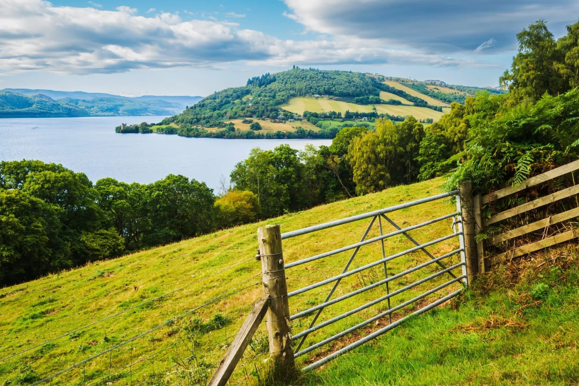
4. Coast to Coast Path
Distance: 190 miles / 306 km
Walking days: 12 to 15
Start: St Bees, Cumbria
Landscape: Fell, dale and gritstone moor
Alfred Wainwright drew this line across northern England in 1973, walkers followed it unofficially for half a century, and it was finally adopted as a National Trail in 2026. It crosses three national parks in sequence, the Lake District, the Yorkshire Dales and the North York Moors, so the country changes completely three times between the two coasts.
The Lakeland third at the start is the hard part, steep and properly mountainous, and it is where most people lose a day to weather. After that the Dales section is limestone and drystone wall, and the Moors section is heather, old railway bed and long views east to the sea.
Walk it west to east and the climbing is done while you are fresh, with the prevailing wind behind you. This is the route to pick if you want one walk that shows you the range of northern England rather than a single landscape done well.
Spring and early autumn are the better windows, since the Lakeland section is busiest in July and August and the bogs on the Nine Standards crossing are worst after long rain. Two weeks is the comfortable allowance. Taking only the Lakes and Dales thirds makes a strong nine day walk on its own.
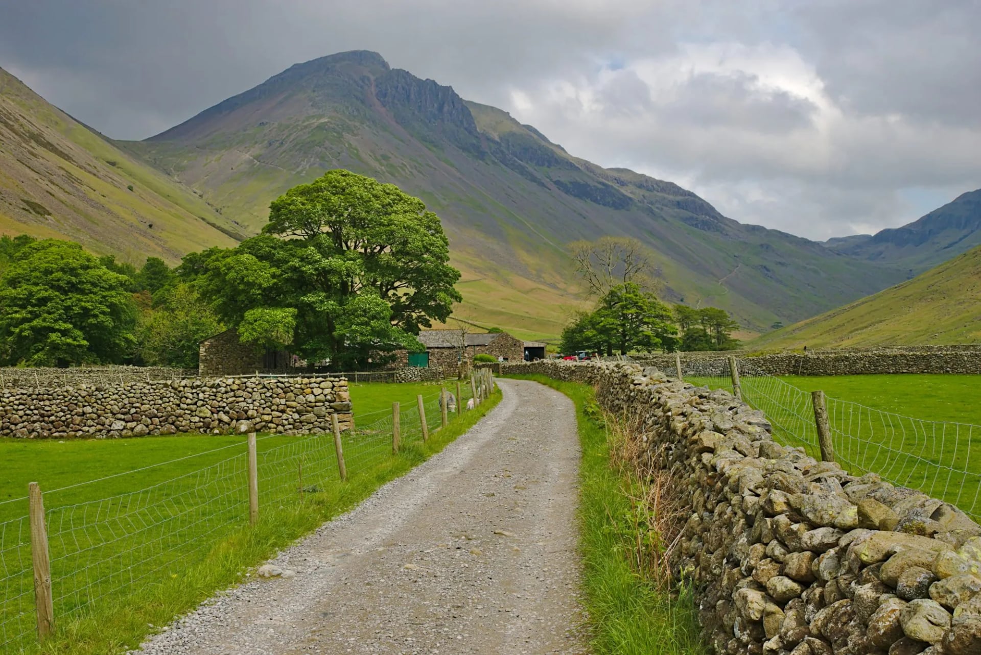
5. Pennine Way
Distance: 268 miles / 431 km
Walking days: 19
Start: Edale, Derbyshire
Landscape: Gritstone moor and limestone dale
Britain's first National Trail opened in 1965 and is still the hardest of the waymarked family. It runs the spine of northern England from the Peak District to the Cheviots by way of the Yorkshire Dales and Hadrian's Wall, and its reputation rests on peat rather than altitude.
The boggiest sections were eventually paved with flagstones lifted from demolished Lancashire and Yorkshire mills, so parts of the trail are walked on a mill floor. Where the flags run out, crossing a hagged plateau in mist is slow, filthy and disorienting work.
Nineteen days is the trail authority's own figure and it is not padded. Expect long gaps between villages in the northern half and weather arriving from the west with nothing to slow it down. Plenty of people walk it in two or three visits rather than one continuous push, and the Dales and Northumberland thirds are the best of it.
For the best of it without the commitment, walk Hadrian's Wall to Kirk Yetholm for the Cheviot finish, or Malham to Keld for the limestone. Late spring gives the driest peat and the longest days. Whatever you take, plan the resupply before the mileage, because that is what sets the stages.
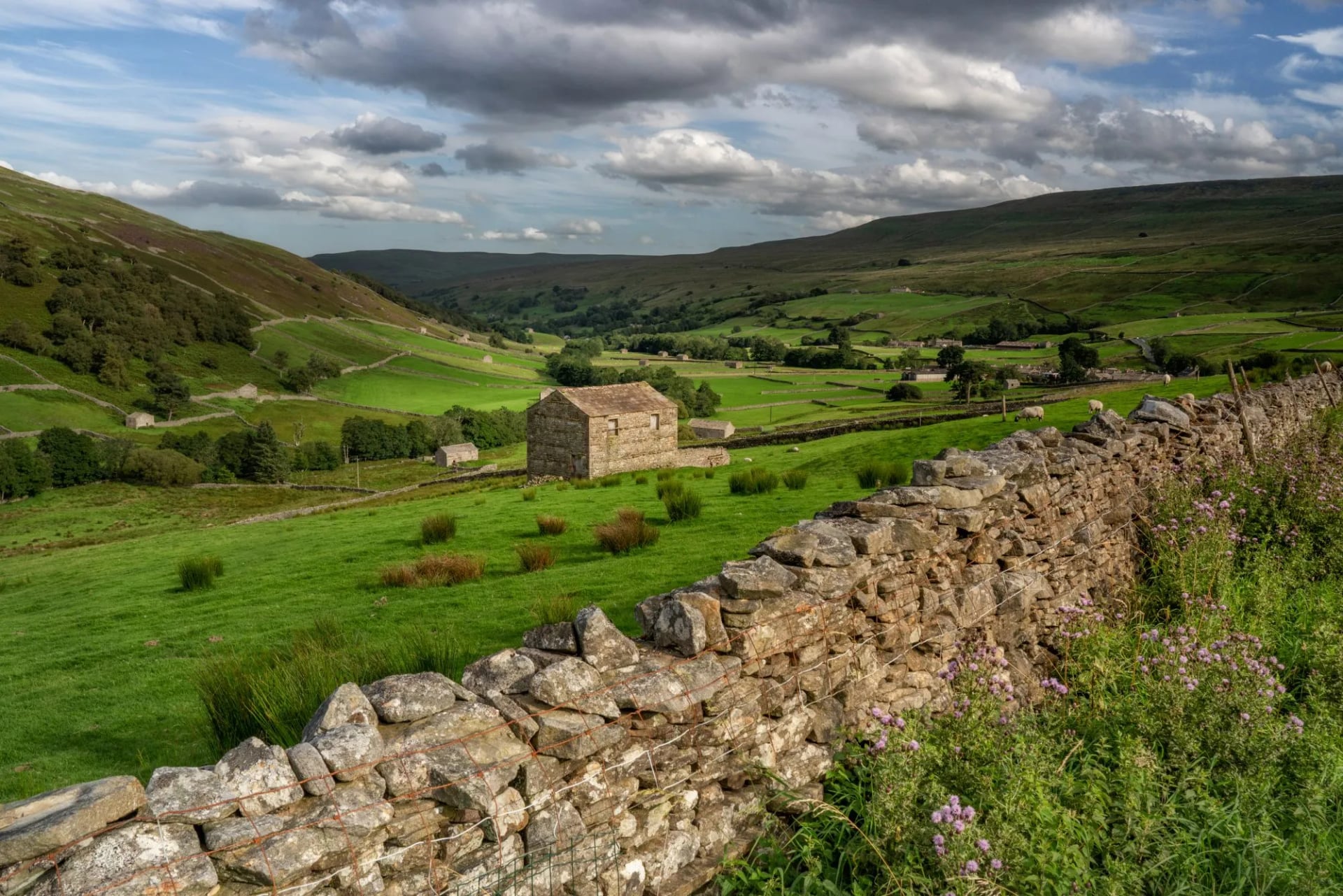
6. Herriot Way
Distance: 52 miles / 84 km
Walking days: 4
Start: Aysgarth, North Yorkshire
Landscape: Limestone dale
A circular route through Swaledale and Wensleydale with nights in Hawes, Keld and Reeth, and roughly 13 miles a day. It takes in Hardraw Force, Aysgarth Falls and the field barns above Keld, one barn to a field, built so hay and cattle could overwinter where they stood.
Being circular it needs no transport at either end, which is why it fits a long weekend better than anything else on this list. The walking is moderate, the villages sit close together, and the gap between a hard day and an easy one is small.
It is the best short introduction to the Yorkshire Dales, and it shares its wildest stretch with the Pennine Way above Keld without asking for the Pennine Way's commitment. Our Herriot Way trip walks it over four days with luggage moved between the villages.
It works in almost any month from April to October, which is unusual on this list. The dales hold their green late, the heather above Keld turns in August, and the route never climbs high enough for cloud to become a navigation problem. Reversing the circuit changes the walk more than you would expect.
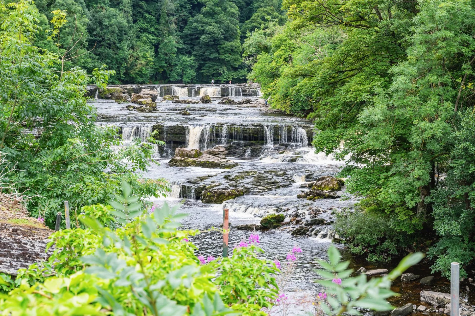
7. Pembrokeshire Coast Path
Distance: 186 miles / 299 km
Walking days: 12
Start: St Dogmaels, Pembrokeshire
Landscape: Sea cliff and coast path
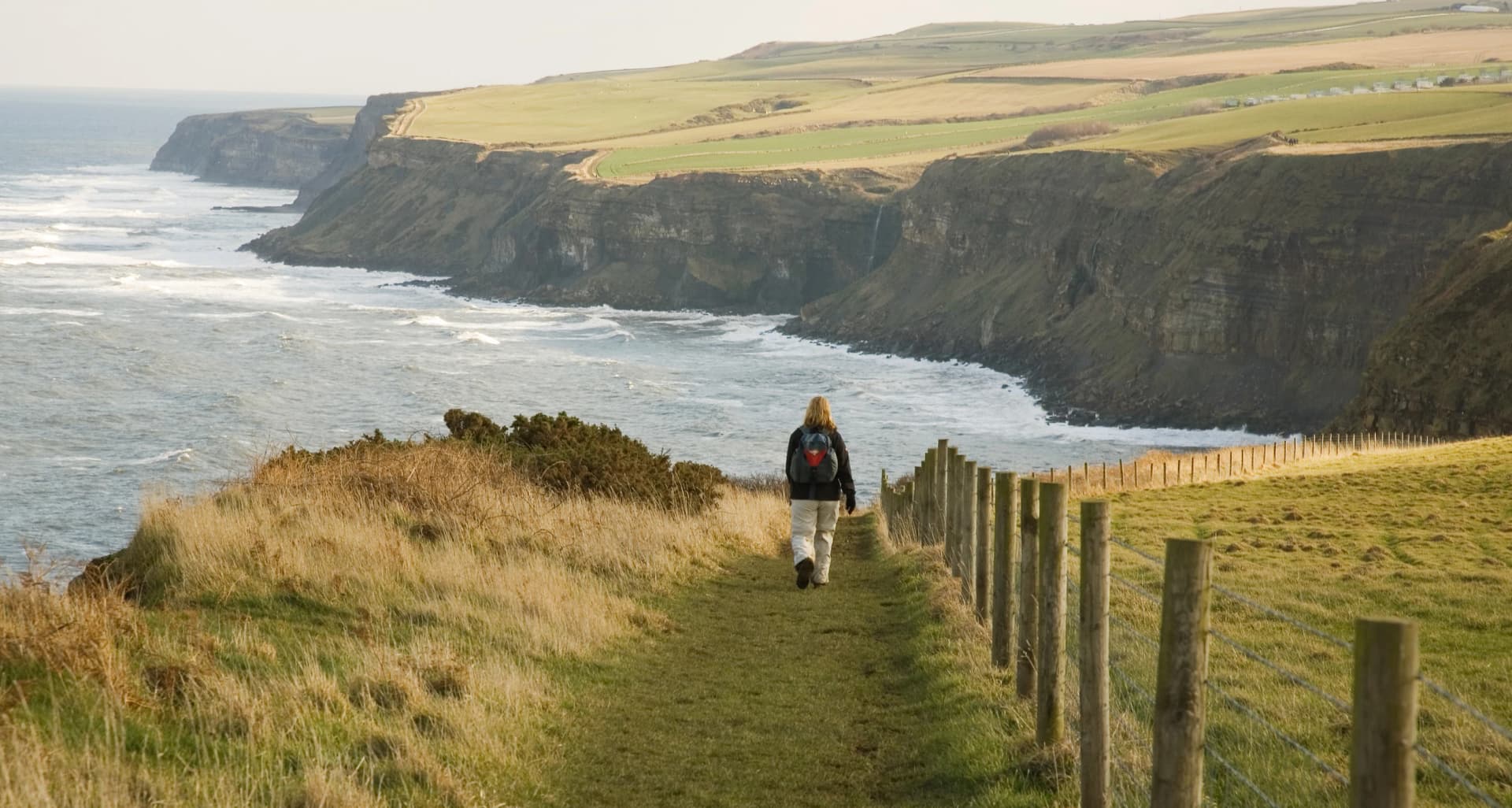
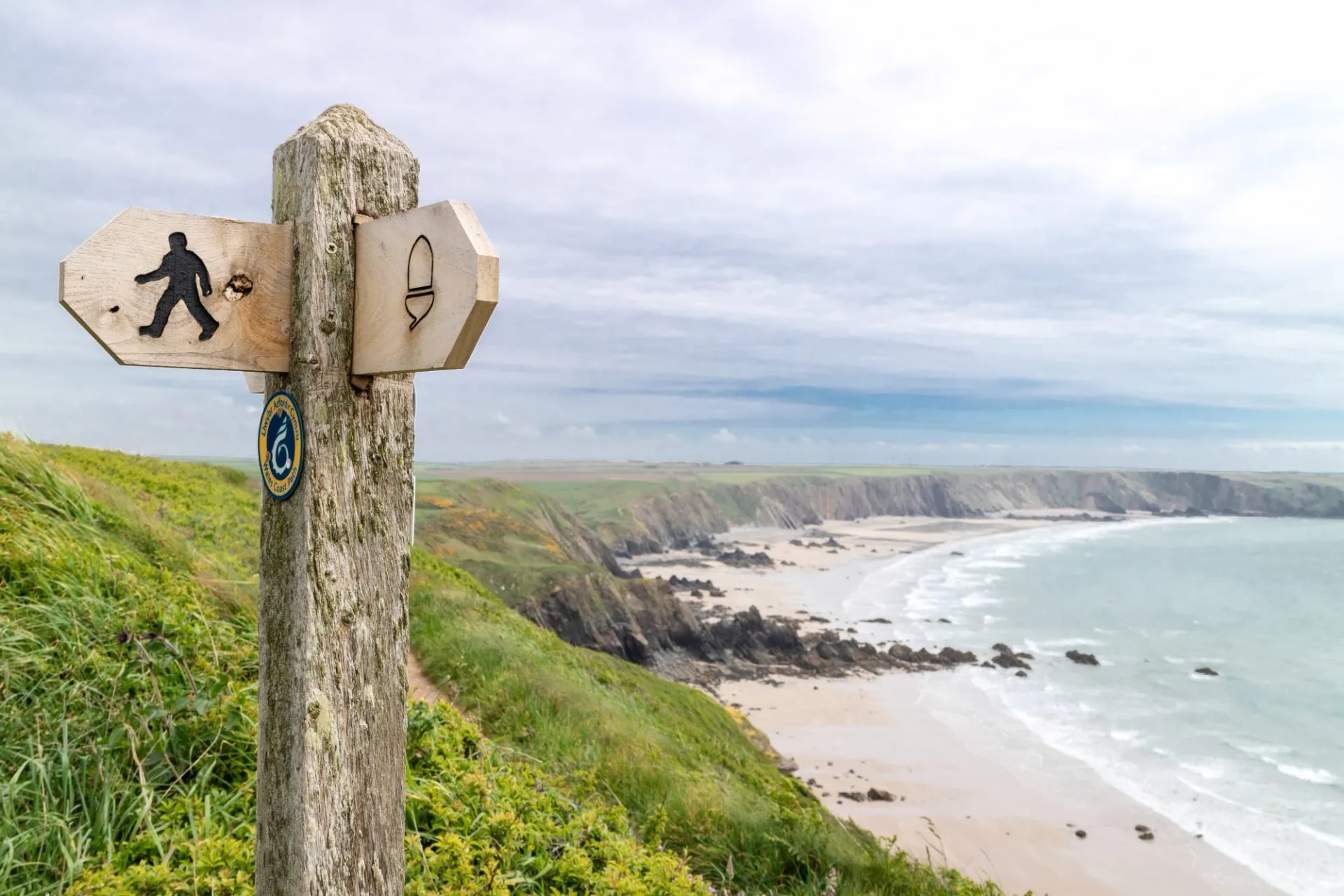
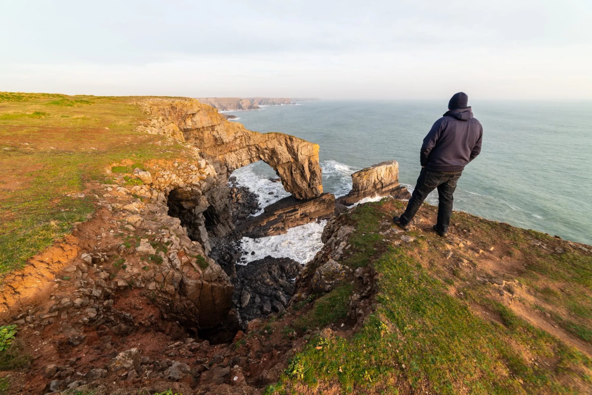
Britain's first coastal National Trail opened in 1970 and stays inside a national park for almost its entire length. It works around headlands, coves and Iron Age forts, and puffins and guillemots hold the sea stacks from April to July. The beaches empty completely the week the schools go back.
Coast paths look flat on a map and are not. There is no summit anywhere on this route and it still drops to sea level and climbs back out at every valley mouth, so the daily ascent rivals a week in the hills. Waterproofs and wind matter more here than boots do.
Twelve days covers the full line, but the trail splits neatly into halves. Our Pembrokeshire Coast Path South trip takes the southern section, which carries the cliffs, the castles and the best of the seabird colonies without the full fortnight.
Time it for the seabirds if you can, because that is the thing this coast does better than anywhere else in Britain. April to July puts puffins on Skomer and guillemots on the stacks, with boats running from Martin's Haven. September trades the birds for empty beaches and a warmer sea.
8. South West Coast Path
Distance: 630 miles / 1,014 km
Walking days: 52
Start: Minehead, Somerset
Landscape: Sea cliff and coast path
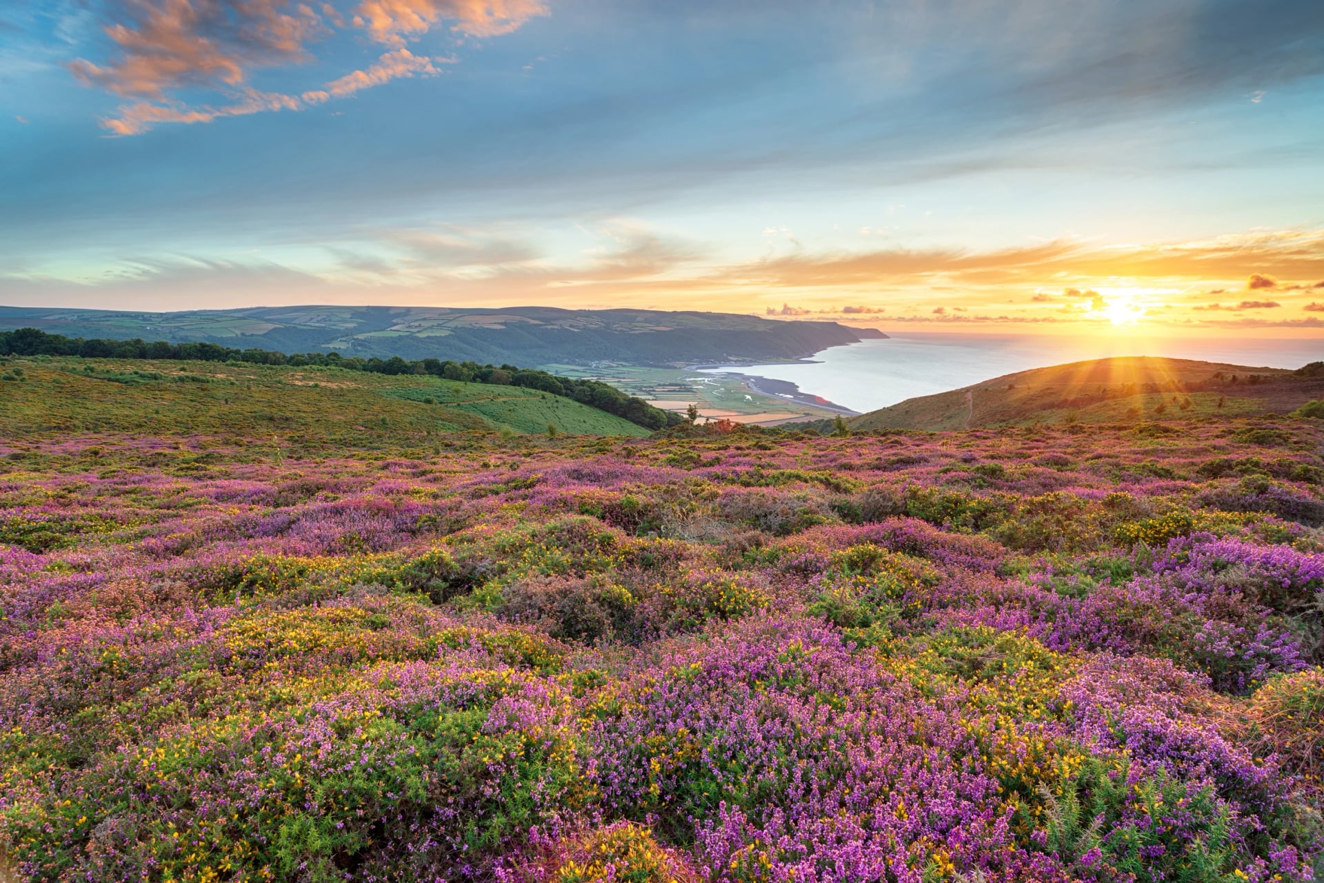
England's longest National Trail runs from Somerset around Devon and Cornwall to Poole Harbour in Dorset. The trail authority puts its total climb at over 115,000 feet, about four times the height of Everest, which is the figure that explains why a coastal week can out-climb a mountain week.
Almost nobody walks it in one go, and there is no reason to. Treat it as a supply of week-long sections instead: north Cornwall is the wildest, the south Devon estuaries are the prettiest, and the Jurassic Coast at the Dorset end carries the geology.
Ferries across the river mouths run on seasonal timetables, and they shape an itinerary more than the mileage does. Check the crossing you need before fixing the day you walk that section, because the detour around a closed ferry is usually a long one.
Pick your section by what you want rather than by what is convenient. The Hartland peninsula and the north Cornwall cliffs are the hardest walking and the emptiest, the south Devon estuaries are the gentlest, and the Dorset end carries the fossils. Spring avoids both the crowds and the high bracken.
9. Cotswold Way
Distance: 102 miles / 164 km
Walking days: 10
Start: Chipping Campden, Gloucestershire
Landscape: Limestone escarpment
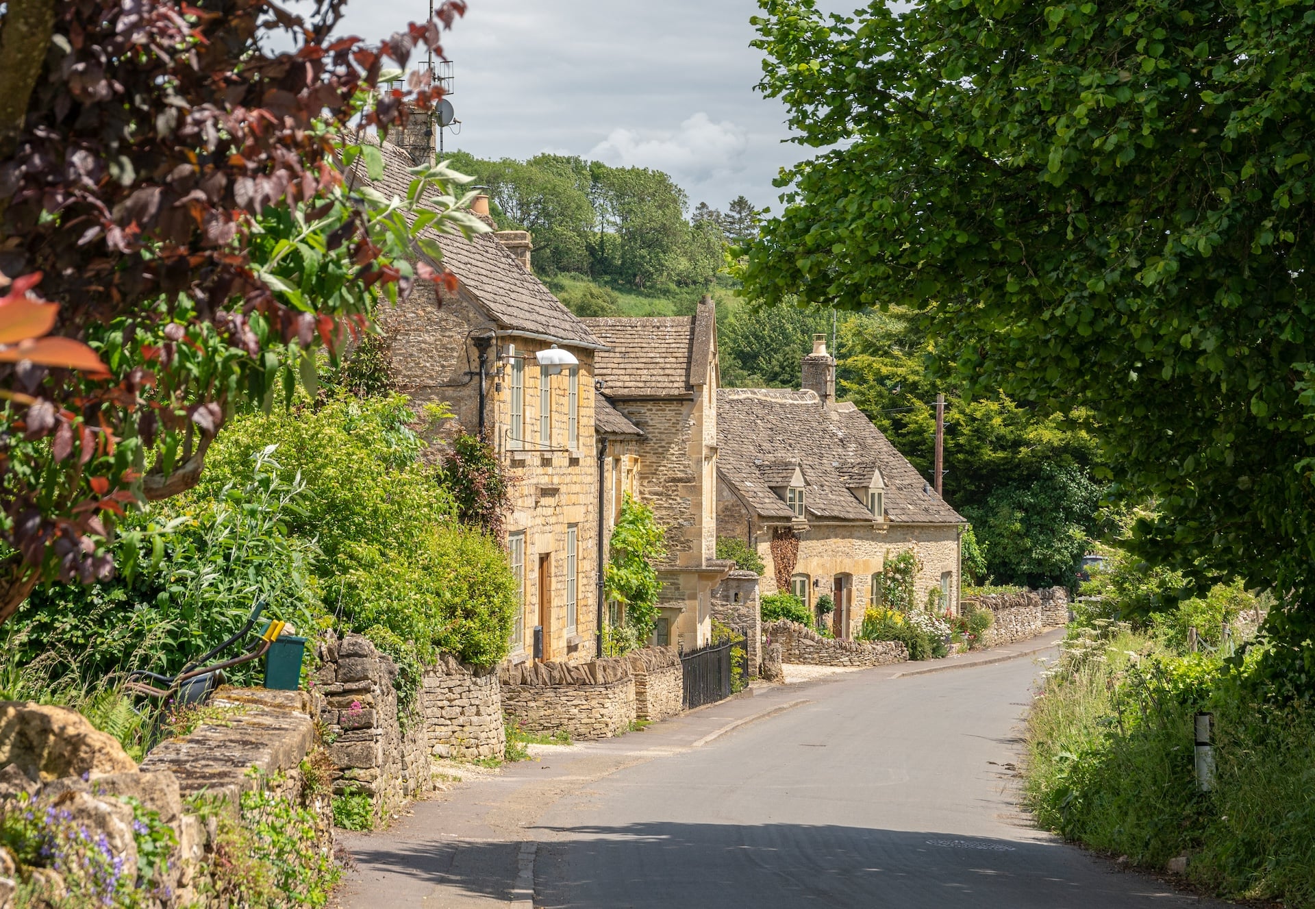
The Cotswold Way follows the western edge of the limestone hills from Chipping Campden to Bath, with the Severn Vale falling away on one side and honey coloured villages tucked into the other. The escarpment does the climbing and the views come with it, so the effort per mile is low for the reward.
Limestone and chalk drain fast, which is the practical point of the southern routes. This ground stays walkable in April and October when the northern moors are still saturated, and that alone widens the season by a couple of months at each end.
Villages come closer together here than anywhere else on this list, so the daily distance is a choice rather than a constraint. Our Cotswolds Highlights trip walks the best sections rather than the full line.
April, May, September and October are the months to take it, and the beech woods along the escarpment are the reason for the two autumn ones. Public transport along the line is better than on any other trail here, so a car free trip is easy to arrange. The northern half is the prettier.
10. South Downs Way
Distance: 100 miles / 160 km
Walking days: 9
Start: Winchester, Hampshire
Landscape: Chalk down
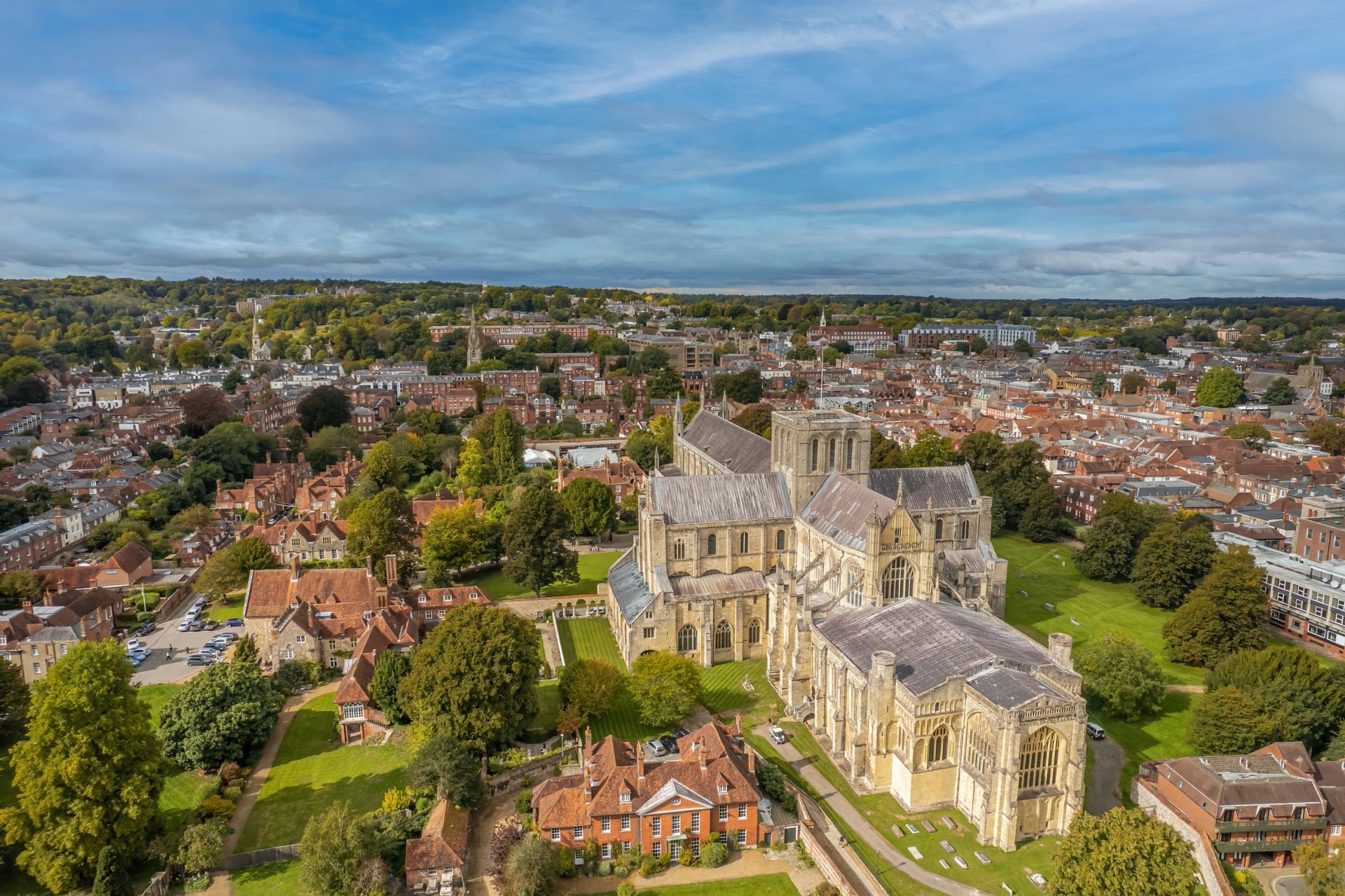
A chalk ridge from Winchester to the sea at Eastbourne, following droveways that were old before the Romans arrived. Chalk holds no water, so this is the driest long trail in Britain underfoot, walkable in months when the Pennines are a bog.
That same geology is the one practical catch. The ridge carries almost no streams and few taps, so fill up in the villages below the scarp rather than counting on finding water along the top. It is the only route here where running dry is a realistic mistake.
It finishes over the Seven Sisters cliffs, which is a better ending than most trails manage. London is close enough that this is the easiest of these routes to reach and to leave without a car, and the whole line is rideable as well as walkable.
This is the route to walk when the rest of Britain is wet, which in practice means March, April and October as much as high summer. The eastern half from Amberley to Eastbourne carries the best of the scenery and the cliff finish. Trains from London reach the trail at several points, so sections are simple.
11. Hadrian's Wall Path
Distance: 84 miles / 135 km
Walking days: 7
Start: Wallsend, Tyne and Wear
Landscape: Frontier and border country
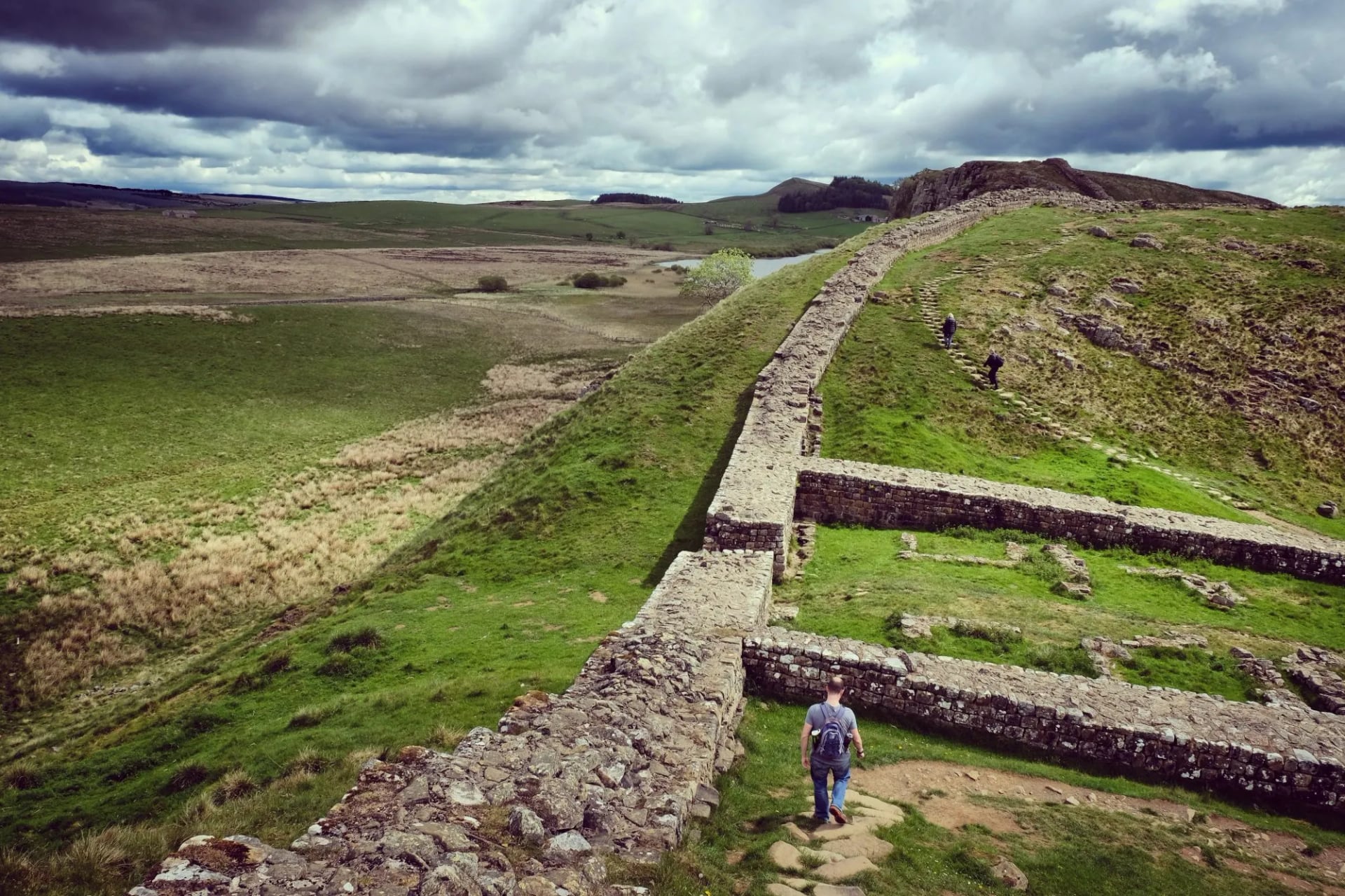
Coast to coast along the northern frontier of the Roman Empire, riding the crest of a dolerite escarpment called the Whin Sill through the central section. Milecastles came every Roman mile with two turrets between each pair, and the Vindolanda excavation beside the route has run since 1970.
It is not hard by British standards, and it rewards a slow pace because the interest sits beside the path rather than at the end of it. The Chollerford to Birdoswald section is the one that climbs, and it is also the one where the wall survives best.
Walking west to east keeps the prevailing wind behind you, which matters more than it sounds on an exposed ridge. Our Best of Hadrian's Wall Path trip takes the central section where the wall, the forts and the escarpment are all at their most complete.
May to September is the sensible window. The ground between Chollerford and Birdoswald churns in wet months, which is why the trail asks walkers to keep off the earthworks in winter. Four days covers the central section, and Vindolanda and Housesteads each deserve half a day rather than an hour.
12. Offa's Dyke Path
Distance: 177 miles / 285 km
Walking days: around 14
Start: Sedbury Cliffs, near Chepstow
Landscape: Frontier and border country
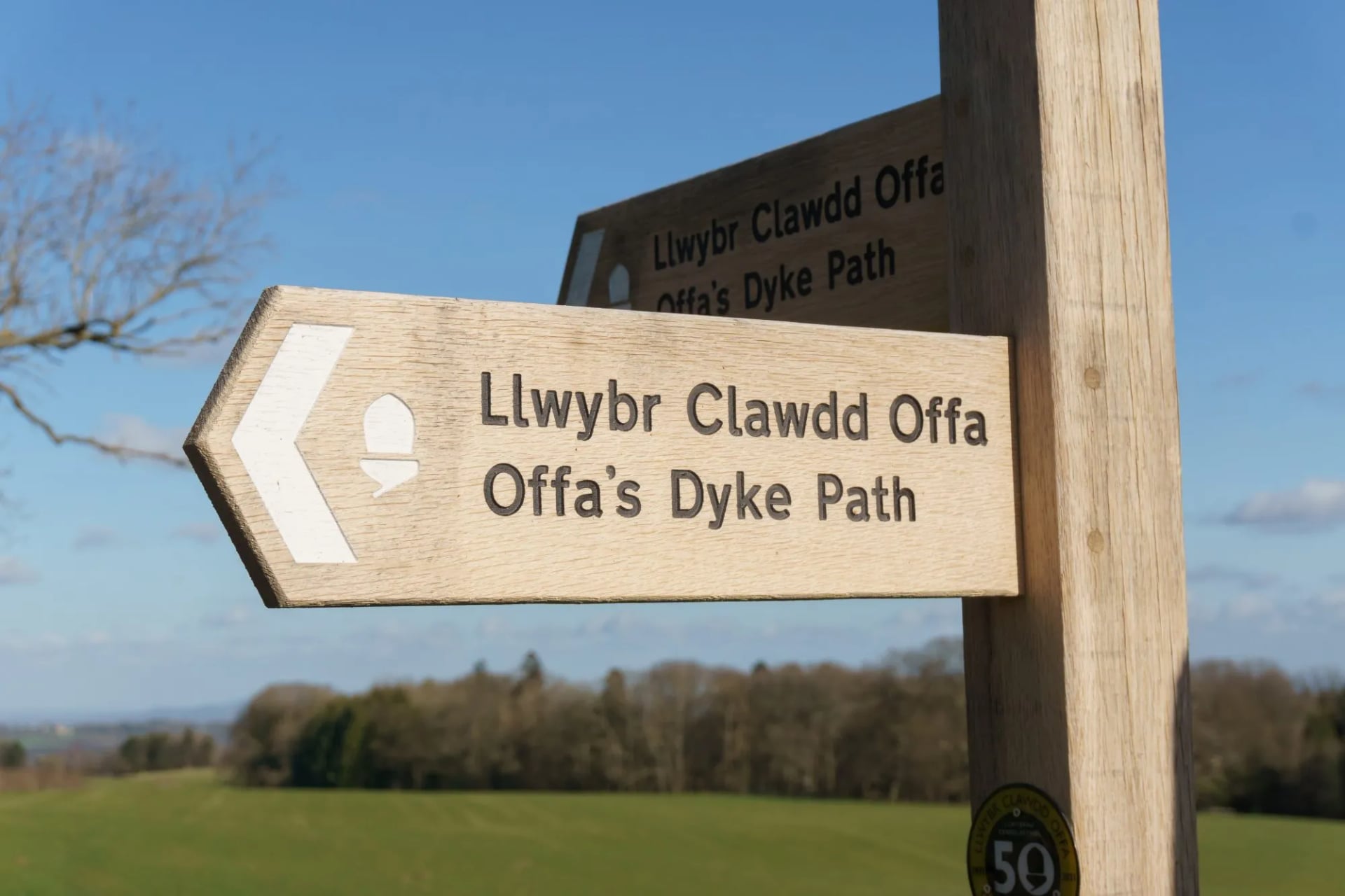
The path follows an earthwork thrown up in the eighth century by Offa, King of Mercia, and still roughly traces the England and Wales border, crossing it more than twenty times. It runs from the Severn estuary to the north Wales coast at Prestatyn, and the dyke itself is under your boots for much of the south.
Terrain alternates between rocky ridge and river valley, so the daily effort is less even than the mileage suggests. The Black Mountains, the Shropshire Hills and the Clwydian Range carry the climbing, and the Wye and Severn sections are close to flat.
It is quieter than any other National Trail of its length, which is the main argument for walking it. The Welsh half of the country it crosses is covered in more detail in our guide to hiking in Wales.
Walk it south to north and the climbing eases as the fortnight goes on. May and June are the best months, when the Black Mountains are clear and the border meadows are in flower. The Hay-on-Wye to Knighton section is the classic short take, two days through the best of the dyke.
The Six Walking Landscapes
British walking country divides along geology and latitude rather than along borders, and most of the types turn up in more than one place. Picking the landscape matters more than picking a famous name, because a week on the Pembrokeshire cliffs and a week on Rannoch Moor have very little in common.
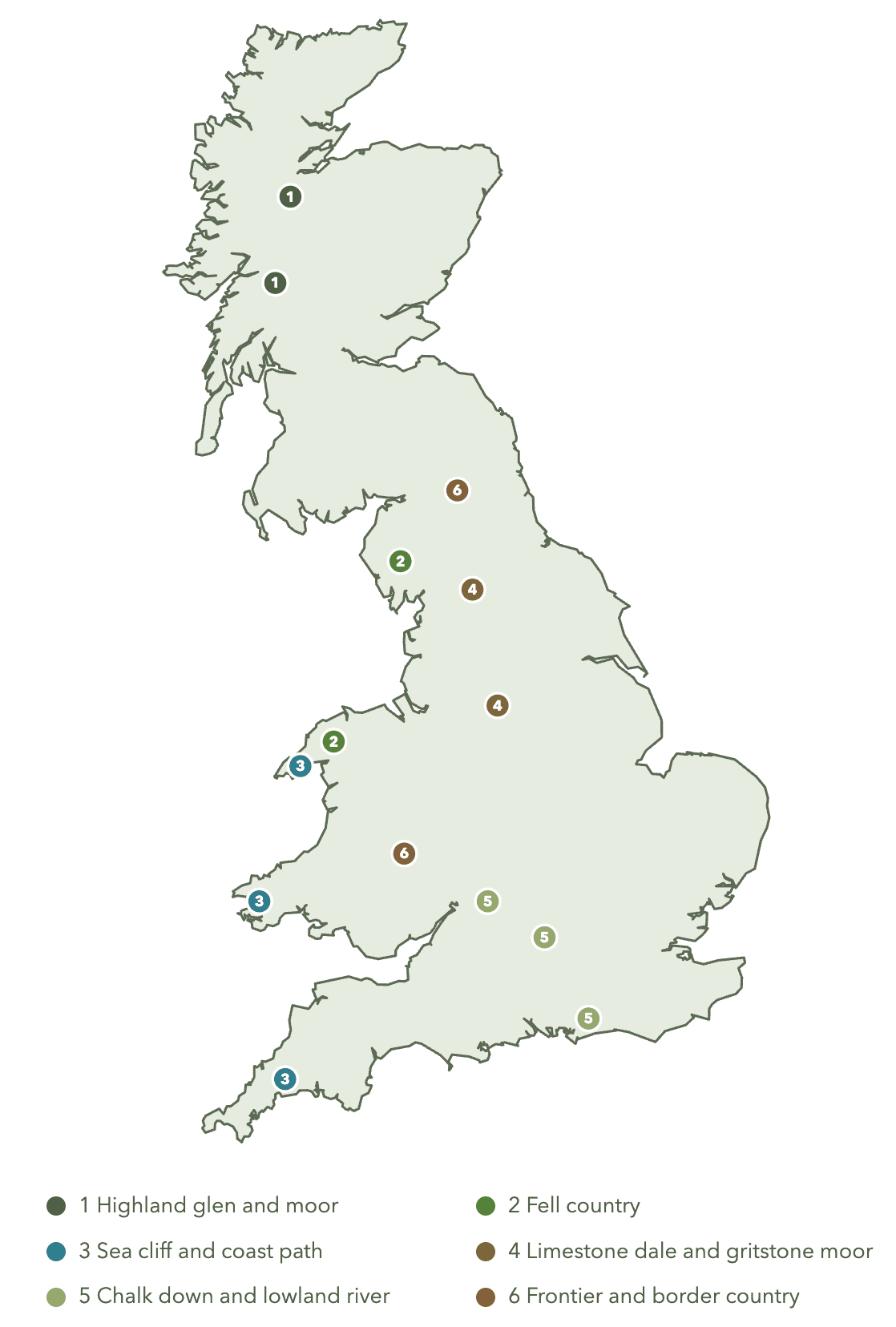
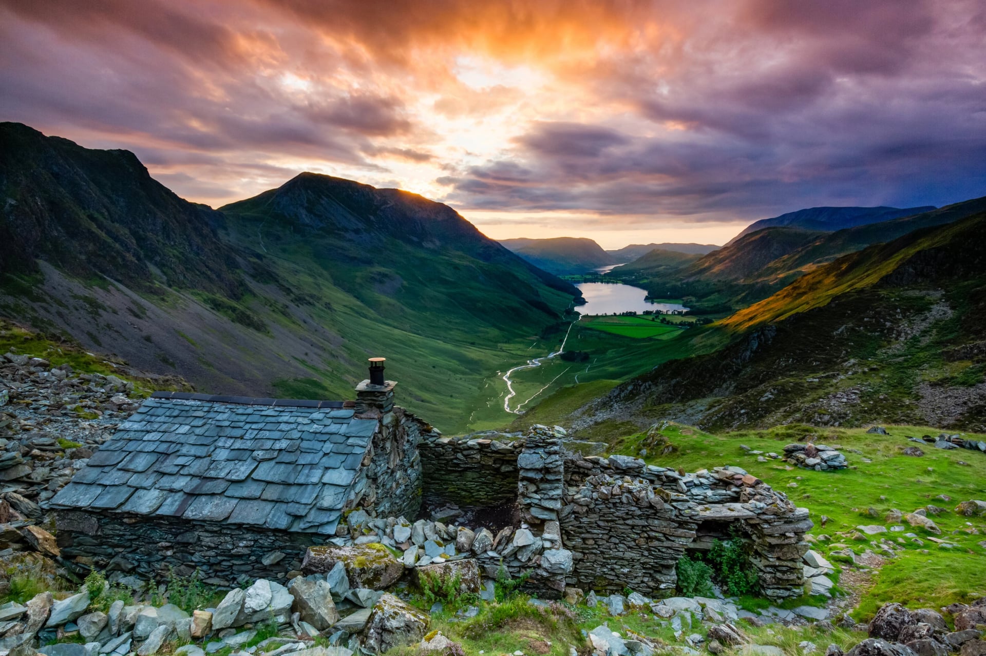
Highland glen and moor. The largest area of open, treeless, thinly populated ground in Britain, and the only part of the island where you can walk a full day and pass nothing built. Glaciers cut the glens into steep sided troughs, so the paths run along valley floors while the mountains stay above you.
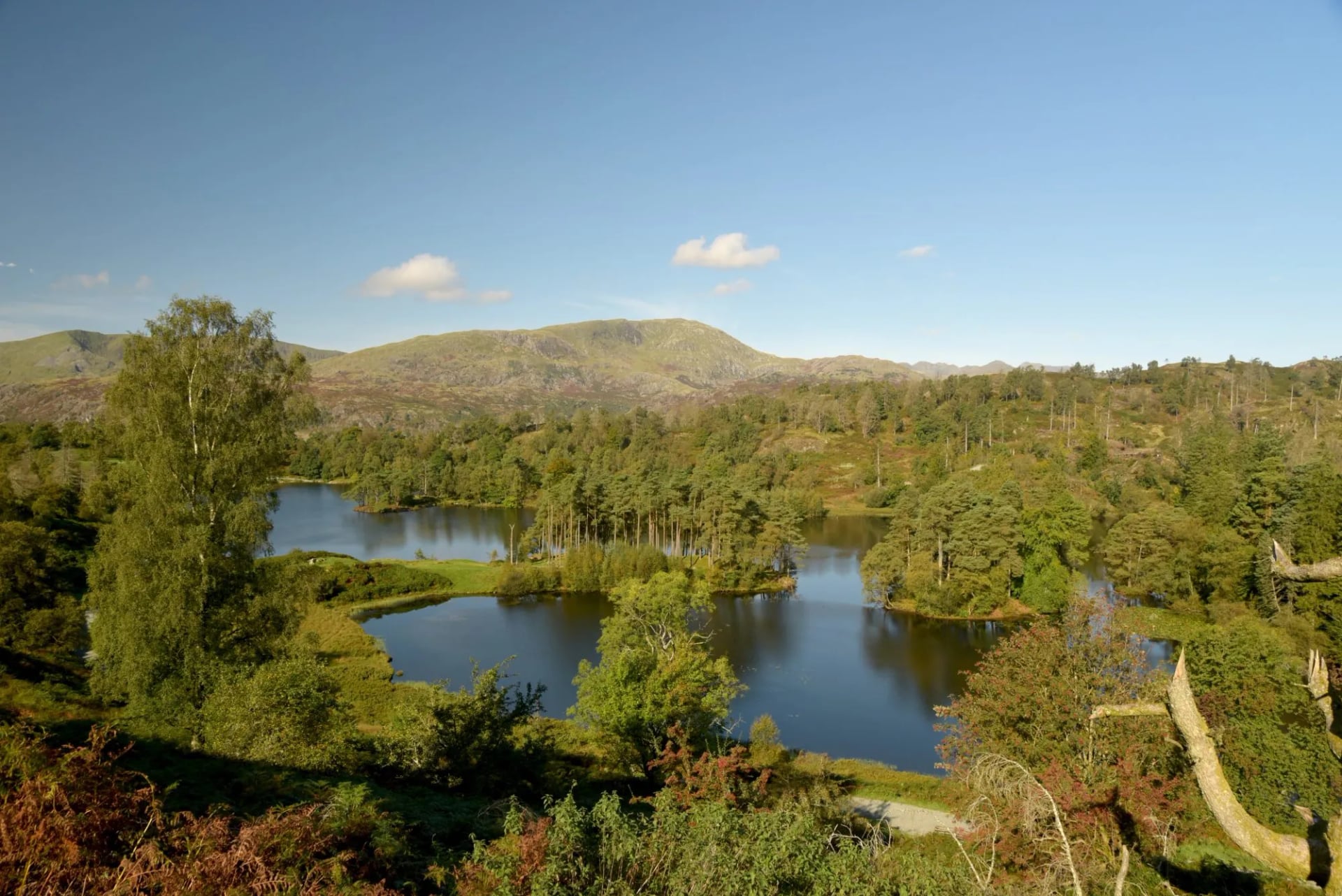
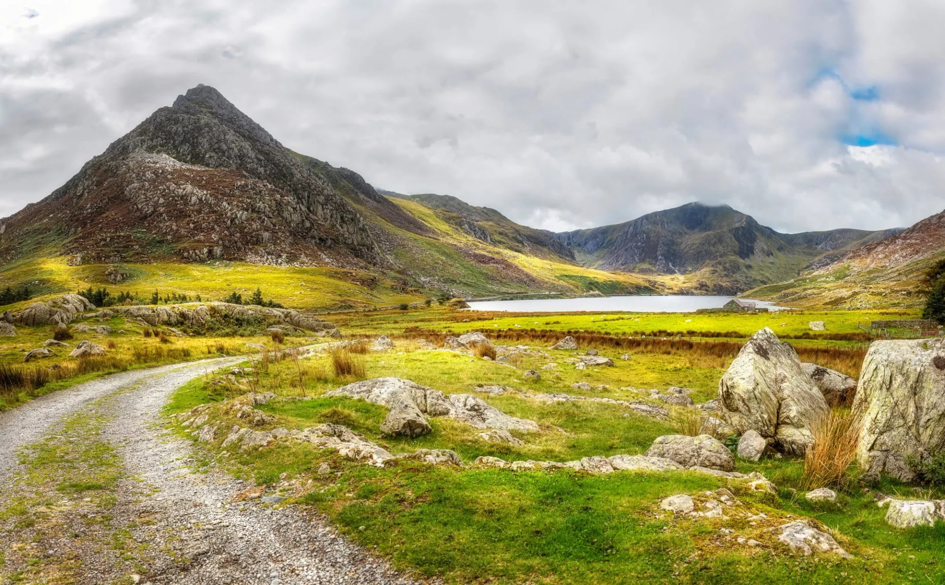
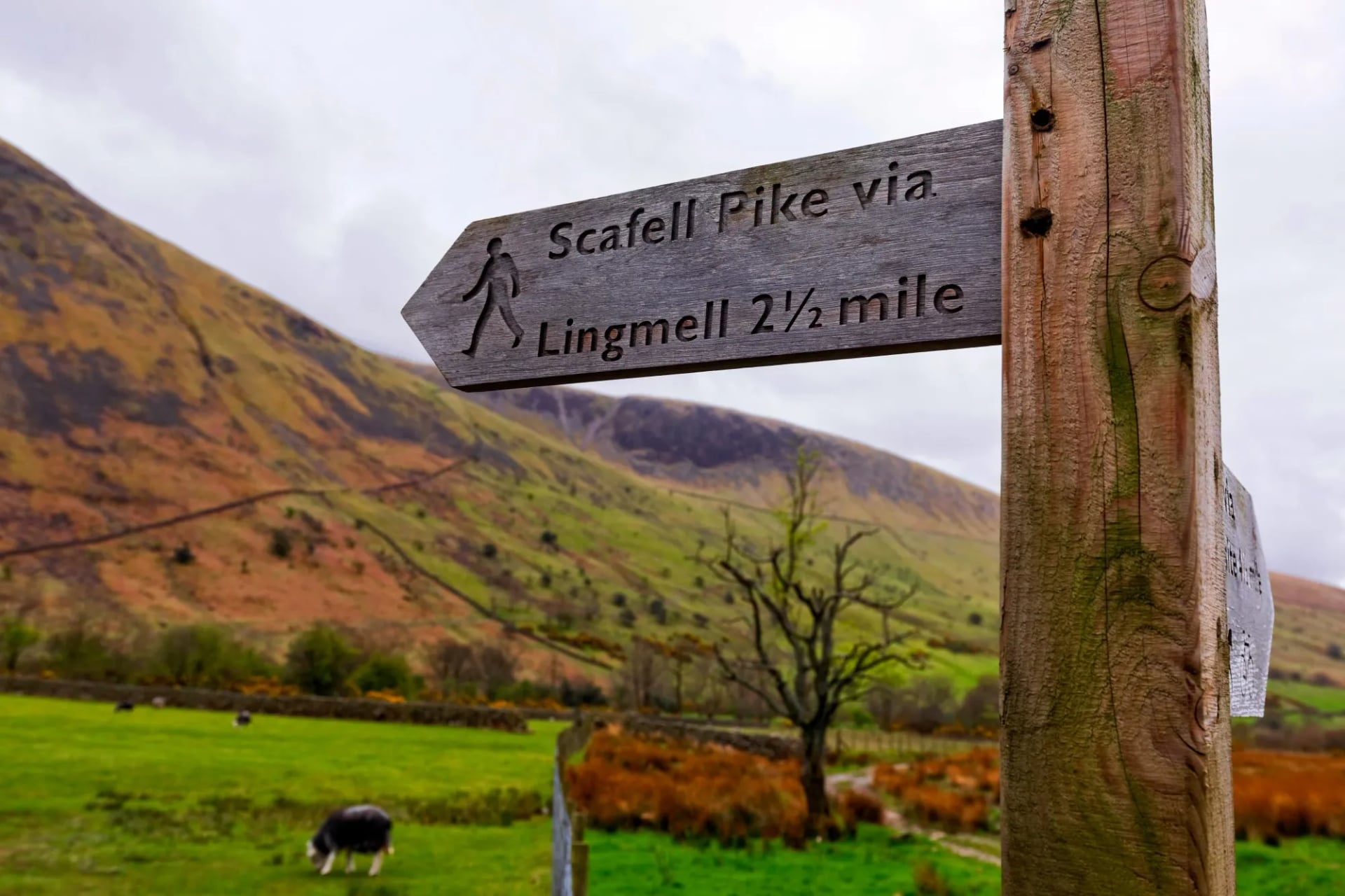
Fell country. Small mountains with the character of large ones. The Lake District and Eryri pack rock ridges, hanging valleys and tarns into an area you could drive across in an hour, and they deliver more ascent per mile than anywhere else in Britain. Scafell Pike tops England at 978 metres and Yr Wyddfa tops Wales at 1,085 metres, and neither number prepares you for the ground between them. Cloud sits on these summits for much of the year, so navigation here is a skill rather than a formality.
Sea cliff and coast path. Britain's coastline is long, deeply indented and almost entirely walkable, which has produced some of the biggest trails in Europe. There is no altitude and there is a great deal of climbing, because the path drops to sea level and hauls back out at every valley mouth.
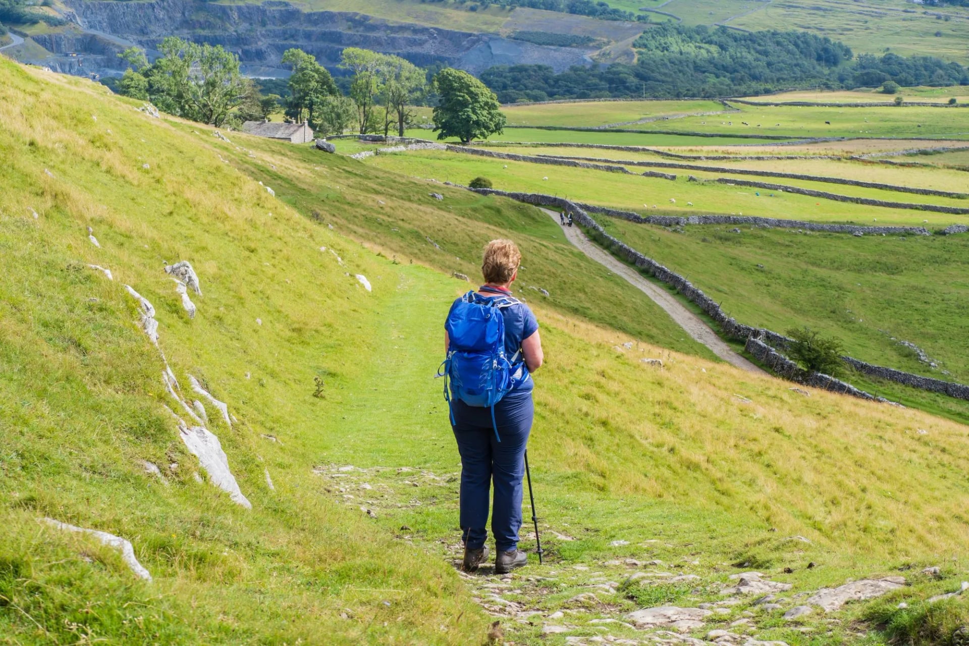
Limestone dale and gritstone moor. The Pennines carry two rock types that behave completely differently. Limestone gives the Yorkshire Dales their pale crags and the bare pavement above Malham Cove; gritstone gives the Peak District its dark edges and the peat that made the Pennine Way famous for mud.
Chalk down and lowland river. Southern England is built on chalk and limestone and walks completely differently from the north. Days are long in distance and easy in effort, and the ground stays dry when northern moorland is saturated.
Frontier and border country. Two trails follow the edges of former countries and put archaeology under your boots for a week. Neither is hard by British standards, and both reward a slower pace.
England, Scotland and Wales
Each of the three has its own walking culture, its own trail authority and its own law about where you may go. Northern Ireland sits outside this guide, on the island of Ireland with a separate network.
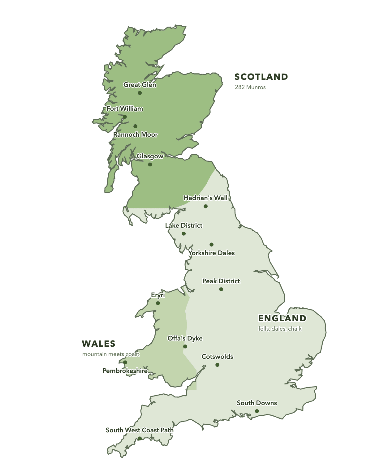
England has the densest path network and the most developed village to village infrastructure. Public footpaths thread through farmyards and across cricket fields, waymarked with a yellow arrow and defended in court when necessary. Ten national parks cover everything from Lakeland rock to South Downs chalk, and the walking assumes a pub near the end of the day.
Scotland holds around a third of Britain's land and a twelfth of its people, and almost all of that emptiness sits in the north and west. Fewer villages, longer gaps between them, and hills that hold snow into May. Sir Hugh Munro listed the peaks above 3,000 feet in 1891, the tally now stands at 282, and finishing them is a recognised life project.
Wales is the smallest and the most concentrated, with mountain and sea within an hour of each other almost everywhere and three national parks in the north, the south west and the south. Welsh place names describe the terrain they sit on, and the country has been reclaiming them: Snowdonia became Eryri in 2022 and the Brecon Beacons became Bannau Brycheiniog in 2023. Our guide to hiking in Wales covers it trail by trail.
The Ground Underfoot
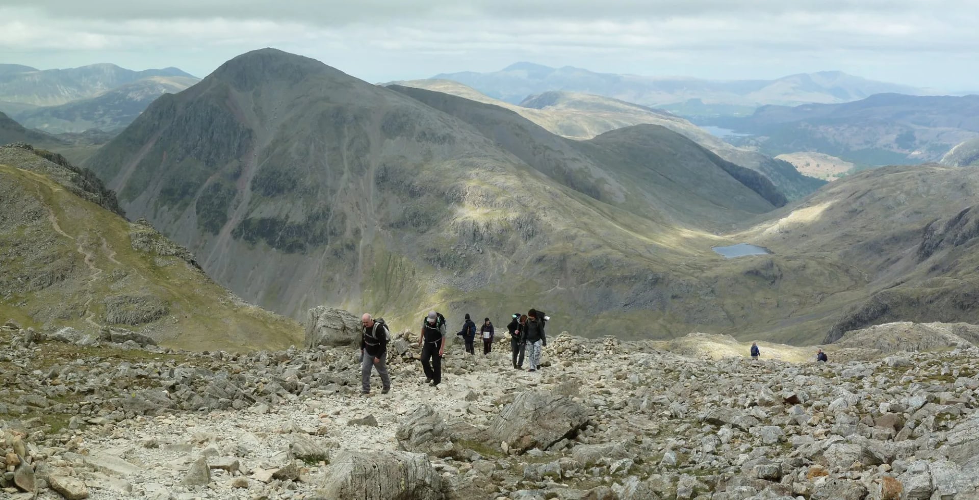
British terrain is particular, and it is the thing visitors most often misjudge. There is very little of the graded, engineered mountain path that the Alps and the Dolomites train walkers to expect. British paths are worn rather than built, and what you are walking on changes with the rock beneath it.
Bog is the defining British surface and the northern moors are largely made of it. Blanket peat forms where rain exceeds drainage, it can lie metres deep, and it holds water for weeks after the last shower. Where it erodes it splits into peat hags, islands of black peat separated by channels called groughs, and crossing a hagged plateau in mist is slow, filthy, disorienting work.
The other surfaces have their own habits. Tussock grass on wet moorland hides ankle deep holes between the clumps. Limestone pavement is a grid of flat blocks called clints split by deep fissures called grikes, and it is unwalkable in the dark. Scree on the fells moves under you, and bracken in late summer grows head high on Welsh and Lakeland hillsides and hides the path entirely.
Then there is the field furniture, which surprises people more than the terrain does. Because the paths cross farmland they cross field boundaries, and Britain has an elaborate vocabulary for getting over a wall without letting the sheep out: stiles, ladder stiles, squeeze stiles, kissing gates. A lowland walking day can involve fifty of them, and dogs, small children and heavy packs all slow down at every single one.
Where You Sleep
Britain never built an Alpine hut system, and the reason is simple: it never needed one. Continental refuges exist because the valleys sit a full day's walk apart with nothing in between. British valleys already had villages at that spacing, and the villages already had inns.
The default on a long distance path is the pub with rooms, the small hotel or the bed and breakfast. Dinner is downstairs, breakfast is cooked and enormous, and drying rooms are common on the walking routes. Booking ahead matters more than people expect, because a village on a National Trail may have four places to stay and a hundred walkers passing through in a day.
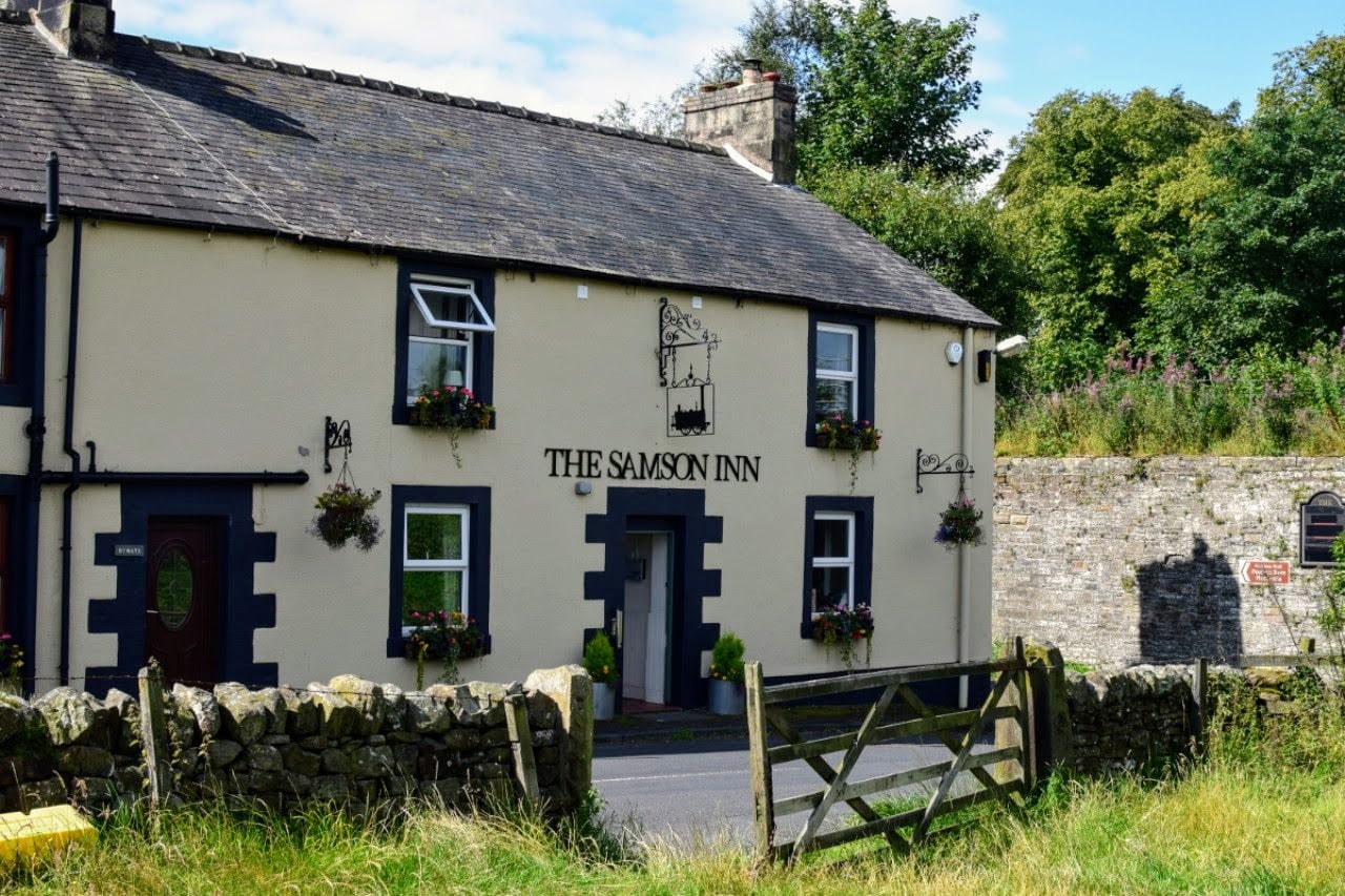
Below that sit the cheaper tiers. Youth hostels are open to all ages and often occupy the best sited buildings on a route. Bunkhouses and camping barns offer a bed, a kitchen and not much else, usually on a working farm, and campsites are plentiful in the national parks.
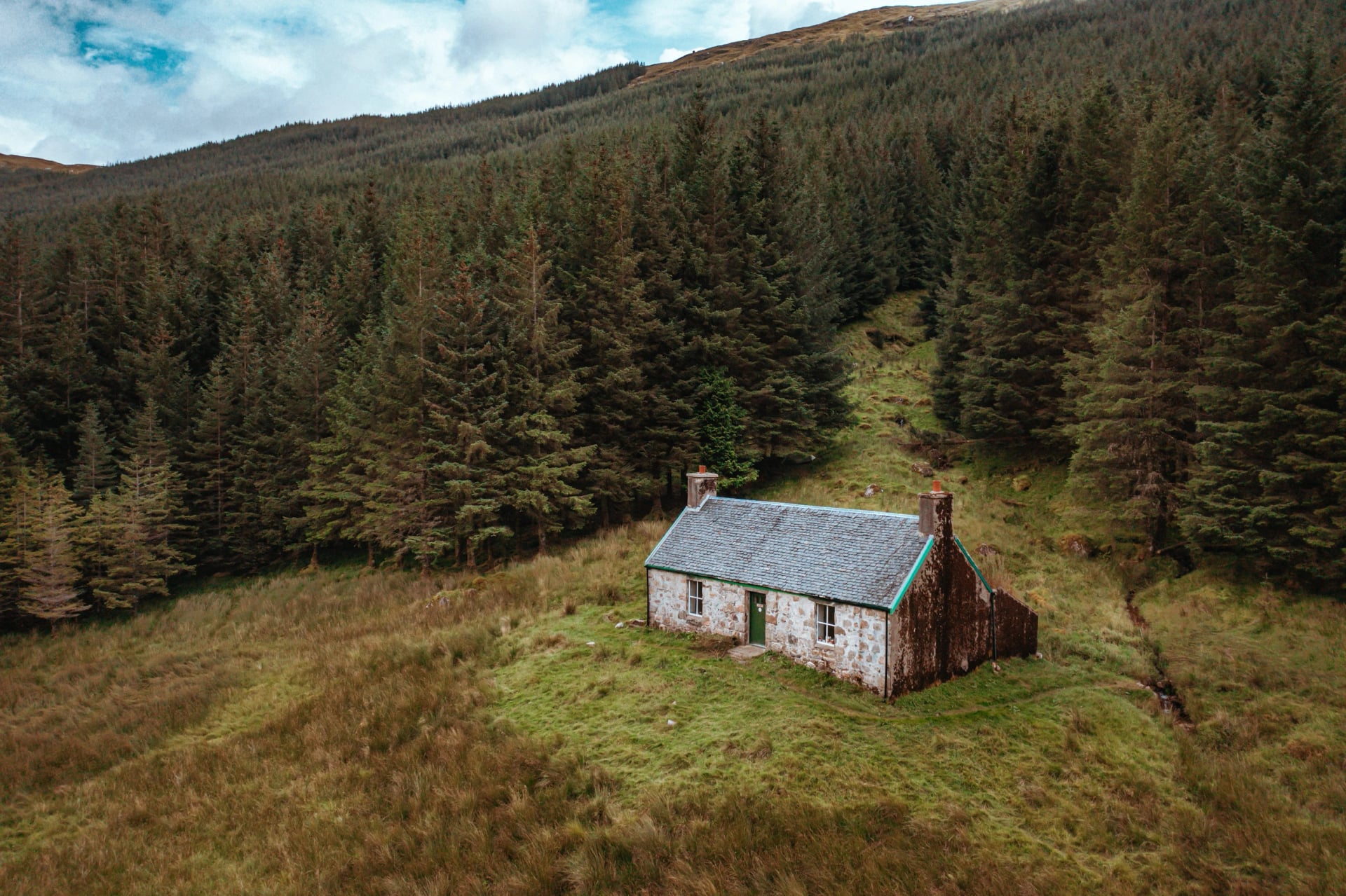
And then there are bothies, which have no real equivalent anywhere else. These are simple stone shelters, mostly former shepherds' or estate cottages, left permanently unlocked in remote country. The Mountain Bothies Association maintains 104 of them, 83 in Scotland, 12 in England and 9 in Wales, and they are free, cannot be booked, and belong to whoever reaches them first.
There is no warden, no electricity and usually no water supply. The Bothy Code carries the whole system: take your rubbish out, leave fuel for the next person, and do not stay more than a couple of nights. Treat a bothy as a bonus rather than a plan, because it may already be full when you arrive.
Midges, Ticks and Adders
Britain has no bears, no wolves and one venomous snake that almost nobody sees. What it has instead is a single insect capable of ending an otherwise perfect evening, and it deserves its own planning section.
The Highland midge is a biting fly about 1.4 millimetres long. Only the females bite, they hunt by carbon dioxide, and they arrive in numbers that turn still air grey. Midge season runs from late May to mid September and peaks through July and August, worst on the west coast and in the north west Highlands.
They are creatures of specific conditions, and that specificity is also the defence. Wind above roughly 10 miles per hour suppresses them almost entirely, and open ridges are usually clear while the sheltered glen below is not. Walking through the middle of the day is rarely a problem; stopping to camp beside a loch at seven in the evening is.
A head net weighs nothing and is worth carrying between June and August, and our guide to surviving midges on a hike covers the rest. May, early June and September avoid the worst of it entirely.
Ticks matter more, because the consequences last longer. They sit in long grass and bracken from spring to autumn, they are common across Scotland and present throughout Britain, and a minority carry Lyme disease. Check your legs, waist and hairline at the end of every walking day, carry a tick remover, and read our guide to avoiding ticks while hiking before you come.
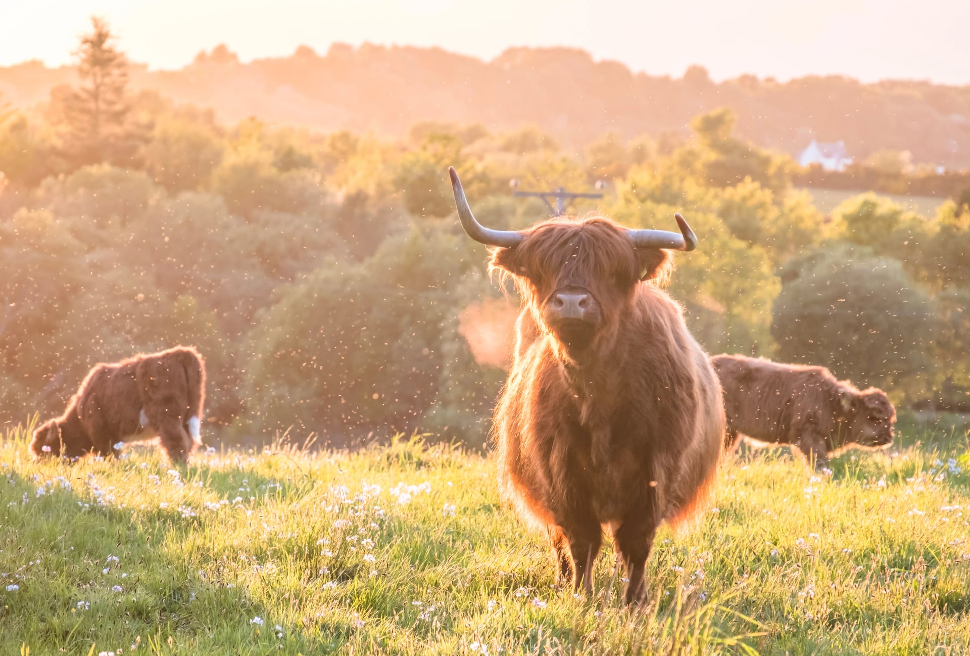
The rest is minor. Clegs, the British horsefly, bite hard in July on damp lowland ground. Adders live on heath and moor, are protected, and will leave if you give them the chance. Cattle are the one animal worth real caution: even when they look placid, do not approach them, and give cows with calves a wide berth.
How Hard Is UK Hiking?
British hills are low and British conditions are not. The Highlands sit at a latitude comparable with southern Alaska, Atlantic weather arrives with nothing to slow it down, and cloud on a 900 metre summit disorients exactly as well as cloud on a 3,000 metre one. Exposure and navigation cause the trouble here, not altitude, and there is no acclimatisation to think about at all.
A typical day on a long distance path covers 12 to 22 kilometres. Without a full pack that suits most people who can walk for six hours on consecutive days, and our hiking difficulty guide sets out how our fitness and technical ratings translate to real ground. If six hours a day is more than your legs currently do, our training guide for hikers is the place to start. The specific things that catch visitors out are worth listing.
Rain, then wind. Waterproofs matter more than boots on most British trails, and wind is what turns a wet day cold.
Cumulative ascent on the coast. A cliff path with no summit on it can still climb 700 metres in a day.
Cloud on the fells. Lake District and Eryri summits are in cloud for a large part of the year, and a compass bearing beats a phone in a whiteout.
Daylight. Northern Scotland gets around 18 hours in June and under 8 in late December, which rules out winter for most long routes.
Distance between resupply. Highland stages can run 25 kilometres with nothing open in between, so lunch has to leave with you in the morning.
What to Pack
British kit lists are shaped by one fact: it rains, and then the wind gets up. Buy the waterproof before you buy the boots, because a shell that wets out will ruin a week here faster than the wrong footwear will. A cheap jacket that packs small is worse than useless on an exposed ridge.
Footwear depends on the landscape rather than the season. Fell country and the Pennines reward a boot with ankle support and a stiff sole, because the ground is rock, bog and scree. Chalk, limestone and coast paths are comfortable in trail shoes, and plenty of people walk the southern trails in them all week.
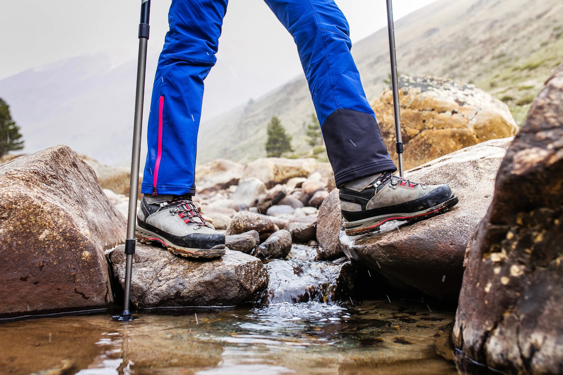
Waterproof jacket and overtrousers. Both, not one. Overtrousers are what make a wet moorland day survivable.
Midlayer and base layers. Synthetic or wool rather than cotton, because everything here eventually gets damp.
Gaiters. Worth the space on any northern moor, and close to essential on the Pennine Way.
Head net. Between June and August in Scotland. It weighs nothing and there is no substitute.
Map and compass. Ordnance Survey Explorer sheets, and the ability to take a bearing off them.
Daypack of 25 to 35 litres. That is the size a British walking day needs when luggage moves by road.
Hiking poles. They pay for themselves on steep coast path descents and on peat.
Water for the day. Taps are common in villages and rare on a chalk ridge.
Leave the heavy things at home. There is no need for crampons, a tent or several days of food on any waymarked route in this guide, and there is no altitude kit to think about. Our guide to extreme weather on the trail covers the days when the forecast turns properly bad.
When to Go
The season runs from roughly April to October, and the months inside it are not interchangeable. Which one suits you depends more on the landscape you have chosen than on temperature, because the north and the south come good at different times.
May and early June make the strongest all-round window. The ground has dried from winter, the days are near their longest, the hawthorn and bluebells are out, and the Scottish midges have not arrived in numbers. September is the month to take if you can travel outside the school holidays: bracken turns bronze, heather still shows on the moors, crowds thin and midge numbers collapse.
September carries one Scottish complication. Estates cull red deer from 1 July to 20 October for stags and from 21 October to 15 February for hinds, so on open hill ground in autumn it is worth checking the Heading for the Scottish Hills service before picking a line. Waymarked long distance routes are unaffected by stalking, so this applies to hill days rather than to the trails themselves.
One rule holds across every month. In Britain the day matters more than the season, and a June ridge can deliver sleet while a March valley delivers shirtsleeves. Pack for the worst version of the forecast whenever you come.
Guided or Self-Guided
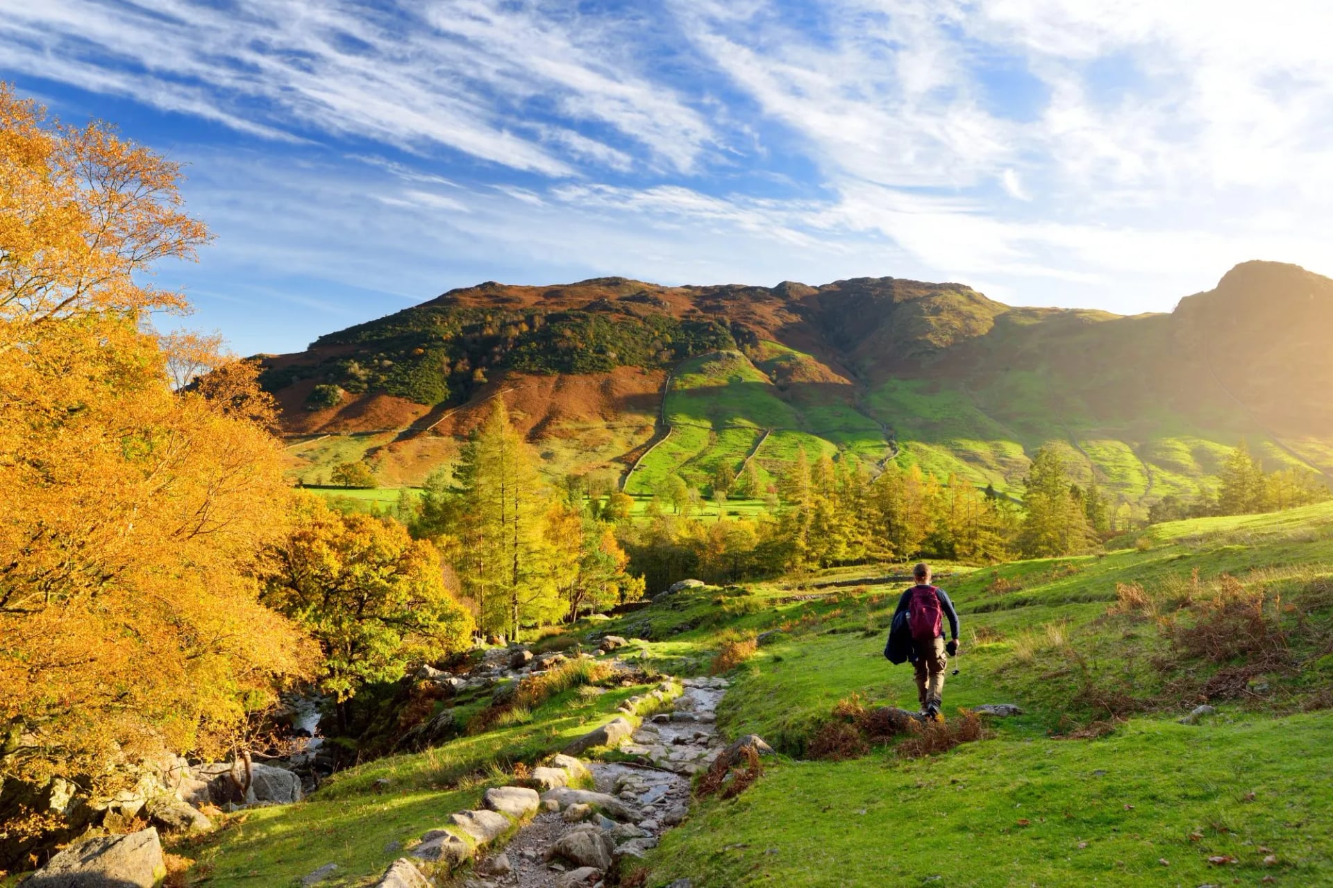
Most British walking holidays are self-guided, and the network is built for it. The waymarked trails are signed well enough that a map and basic map reading will get you from one village to the next, and the accommodation is the part that actually needs organising, not the route.
Self-guided suits anyone who wants to set their own pace, linger at a viewpoint or stop early when the weather turns. You walk alone or with your own group, the beds are booked in the right villages in the right order, and your bag is waiting when you arrive. That is how every trip in this guide is run.
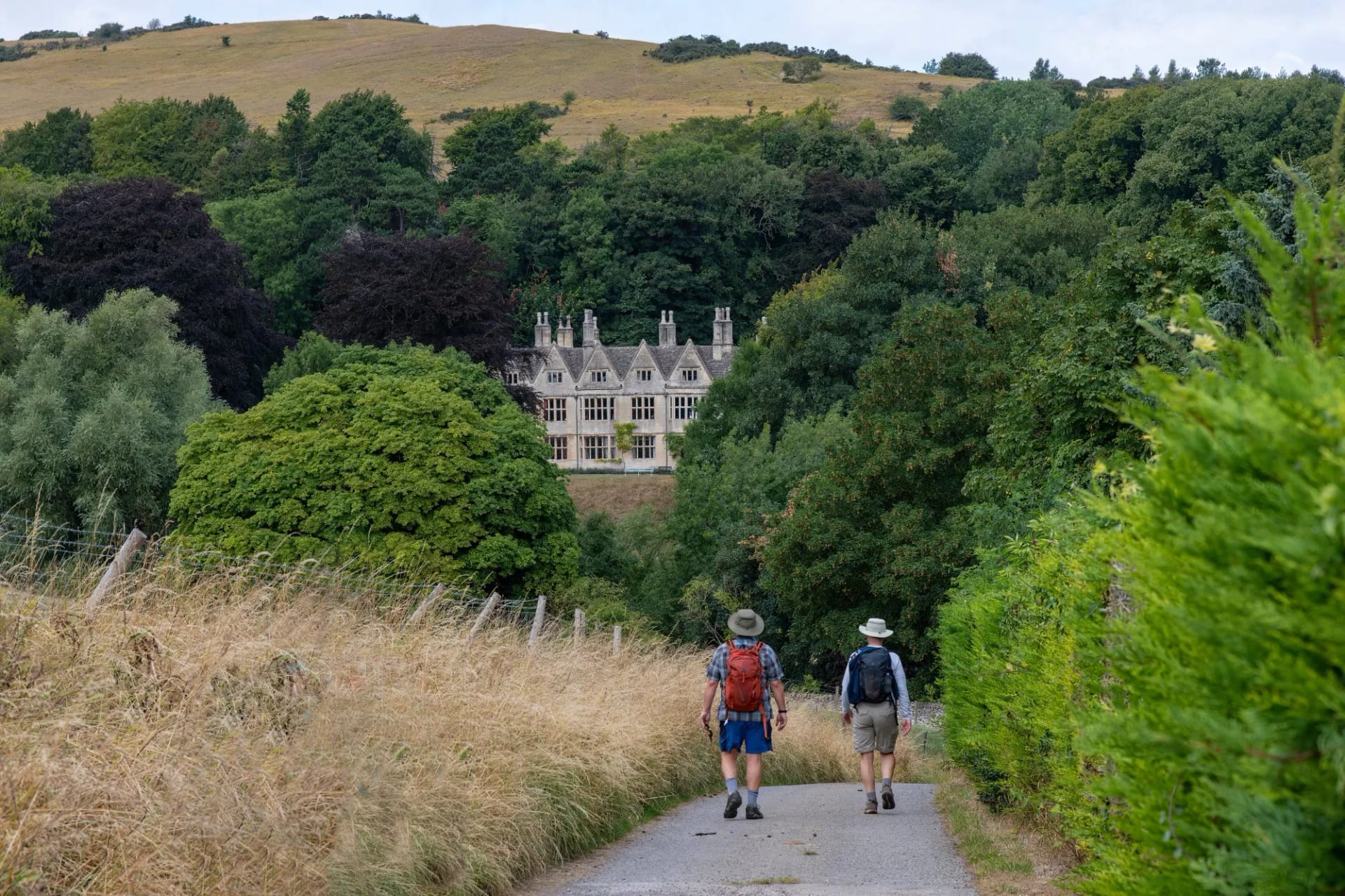
A guide earns their place off the waymarked network. Fell country in cloud, the Cape Wrath Trail, and any route where the path braids and vanishes are the cases where navigation stops being a formality. Our mountain safety guide sets out where that line falls.
The middle option is worth knowing about. Walking a waymarked trail self-guided while carrying a compass you can actually use covers almost every situation Britain produces, and a navigation course before you travel is a better investment than a guide for the whole week.
The Right to Walk
Britain looks like one jurisdiction on a map and behaves like two on the ground. This is worth understanding before you plan anything involving a tent or a route off the waymarked line, because the two systems start from opposite principles.
England and Wales attach the right to the path. Rights of way are recorded on definitive maps held by councils, the Ramblers estimate the network at around 140,000 miles, and off those recorded lines you have no automatic right to walk. The exception is open access land, created in 2000 over mountain, moor, heath, down and common, where you may roam freely on foot.
Ordnance Survey shades that access land pale yellow with an orange border, and reading that shading is the most useful map skill in England and Wales. Wild camping needs the landowner's permission, with Dartmoor the single exception after a Supreme Court judgment in 2025.
Scotland attaches the right to the land instead. The Land Reform (Scotland) Act 2003 gave the public a right of responsible access to most land and inland water, and the Scottish Outdoor Access Code sets out what responsible means. You may walk almost anywhere and wild camp almost anywhere, keeping it lightweight, in small numbers, for two or three nights at most, away from buildings and enclosed fields.
A few pressured areas around Loch Lomond carry seasonal byelaws, and they are signed on the ground. The felt difference is easy to describe: in England you follow a line somebody else drew, and in Scotland you choose your own. Neither right came free, and the ramblers who went to prison for trespassing on Kinder Scout in 1932 are still commemorated on the hill they walked up.
Know Before You Arrive
The practical layer is straightforward, and a handful of details still catch people out on a first visit. These are the ones that come up most often.
Maps. Ordnance Survey covers the country at 1:25,000 (Explorer) and 1:50,000 (Landranger). Explorer sheets show field boundaries and open access shading, and they are the ones to carry.
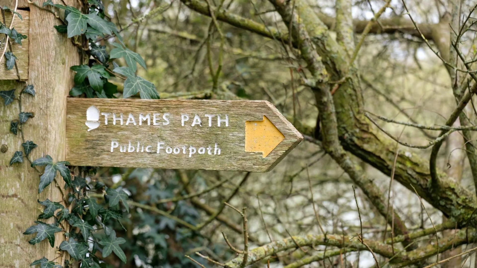
Waymarking. England and Wales have 17 National Trails marked with an acorn; Scotland has 29 Great Trails marked with a thistle. Beyond those families waymarking thins fast.
Trail signs. Our guide to trail markings around the world explains the acorn, the thistle and what the yellow and blue arrows on a footpath mean.
Money. Pound sterling throughout, including Scotland and Wales. Card payment is near universal, though remote bunkhouses and honesty boxes still want coins.
Water. Tap water is drinkable everywhere. Hill streams in Scotland are generally safe above grazing and habitation, and treatment is still the sensible call.
Getting there. Manchester serves the Lake District and the Dales, Newcastle serves Hadrian's Wall, Glasgow serves the West Highland Way, Bristol serves the Cotswolds, and Manchester or Liverpool serve north Wales.
Trains and buses. Rail reaches the start of most National Trails, and the West Highland Line to Fort William is worth the ticket on its own. Rural bus services thin out sharply on Sundays.
Dogs and livestock. Sheep and cattle graze most walking ground. Keep dogs on leads near stock, and leave cattle a wide berth when they have calves with them.
Emergencies. Dial 999 and ask for police, then mountain rescue. Mountain rescue in Britain is voluntary and free.
Frequently Asked Questions
What Our Tours Include
Every trip below is self-guided, which is the normal shape of a British walking holiday. You walk at your own pace with your own group, and the logistics are arranged in advance so that the only thing you carry each day is a daypack.
Accommodation. Nights in hotels, inns or guesthouses along the route, with breakfast included and a private room.
A digital guidebook. The itinerary, route instructions and the practical information for each stage.
GPS navigation. The route loaded into an app, which matters most where the waymarking thins.
Luggage transfer. Your bag moves by road between the overnight stops.
Tour design and support. The route is planned and booked for you, with help available while you walk.
Tourist tax is not included, and airport transfers, extra nights and hotel upgrades are available on request. Current prices and departure dates sit on each tour page.
Where to Start
Pick the landscape first and the route second. If you want big empty ground and one classic line, that is the Highlands. If you want history under your boots on moderate terrain, it is the Roman frontier. If you want gentle days with villages close together, it is the southern limestone.
Every landscape in this guide has routes running through it, and the full range is easiest to browse by country: England, Scotland and Wales.
Tell us how long you have and which of the six landscapes appeals, and we will put a route to it. Get in touch and we will take it from there.

About this author
Jon is our travel advisor and an outdoor adventurer who is happiest on the move. While mountain biking is his personal passion, he thrives on crafting hiking adventures for others — planning routes and adding the little touches that turn a trip into a core memory.











































.jpg&w=828&q=75)
