Black Forest Hiking: 4 Long-Distance Trails
Four long-distance trails from Pforzheim, seven gorges and a century-old ridge route. Black Forest hiking with real distance, ascent and season for each trail.

Jon
Published September 14, 2026
Edited October 15, 2026
19 min read
Quick links
Don't want to read all this?
We've planned 2,000+ hiking trips. Send your dates, fitness and group size — we'll map the route and book every night.



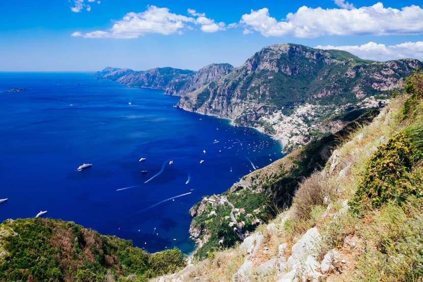
The Black Forest is not one landscape. It is 160 kilometres of ridge from Pforzheim to Basel, cut by gorges that drop 200 metres into rock and crossed by open moorland. Four long-distance trails run its length, the oldest walked since 1900.
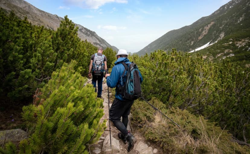
Walking here is quieter than the Alps and gentler on the body. It is also almost entirely ignored by international hikers, which is the point. The Gasthof network is dense, the waymarking consistent, and nothing on the four main trails needs equipment.
If you are still choosing where in Germany to walk, our guide to hiking in Germany maps the whole country. The Bavaria guide covers the alpine alternative, which is a different sport in most respects. Both sit alongside the tours we run across the country.
This guide covers the four routes in detail: what the terrain does underfoot, when to go, and how the accommodation works. It also covers what to sort before you arrive, because the planning here is far simpler than in the Alps. You can see the hiking tours we run in Germany alongside the trails below. The focus throughout is multi-day self-guided walking and not day trips from a base.
The 4 Best Black Forest Hikes
Four long-distance trails run north to south through the Black Forest. All of them start in Pforzheim, which makes the region unusually easy to plan around a single arrival point. All are maintained by the Schwarzwaldverein, the Black Forest Association, which has been doing the job for well over a century.
The choice between them is less about fitness and more about what kind of walking you want. One follows a ridge, one drops repeatedly into gorges, and two take gentler lines through quieter country. Distances run from 119 kilometres to 285, and stage counts from six days to fourteen.
1. Westweg: Pforzheim to Basel
Region: Pforzheim to Basel, the full range
Distance: 285 km
Stages: 12 to 14 walking days
Ascent: around 8,000 m
High point: 1,493 m on the Feldberg
Season: late April to late October
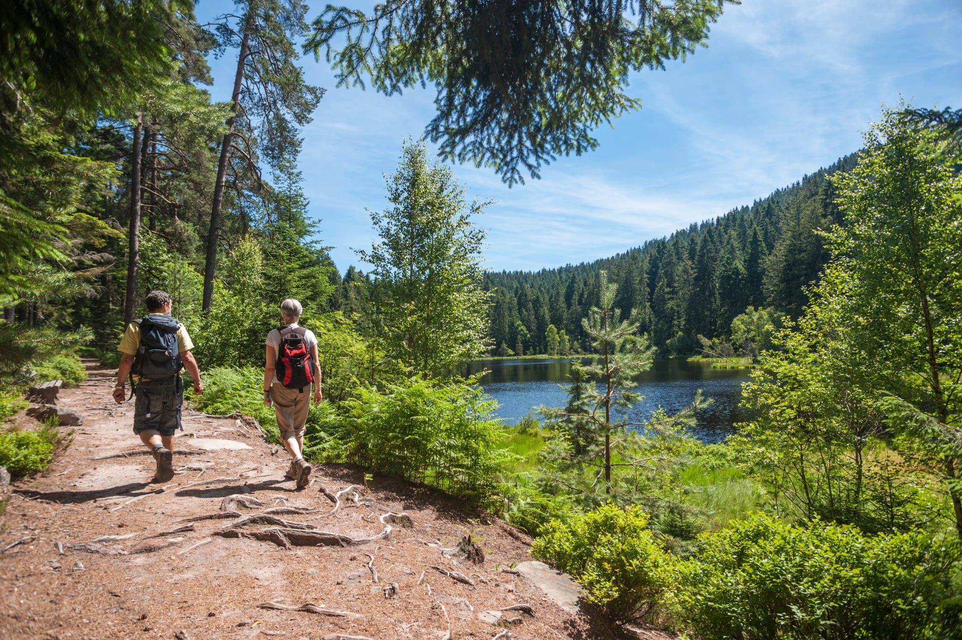
The Westweg is Germany's first long-distance hiking trail, established in 1900 by the Baden section of the Schwarzwaldverein. It runs the full length of the range from Pforzheim south to Basel, marked throughout with a red diamond on white. That symbol is one of the most recognisable trail markers in the country.
Most stages carry 600 to 900 metres of ascent, and six to seven hours of walking a day is normal. There are no technical demands anywhere on the route. It asks for solid general fitness sustained over nearly two weeks, which makes it a trail for experienced multi-day walkers and not first-timers.
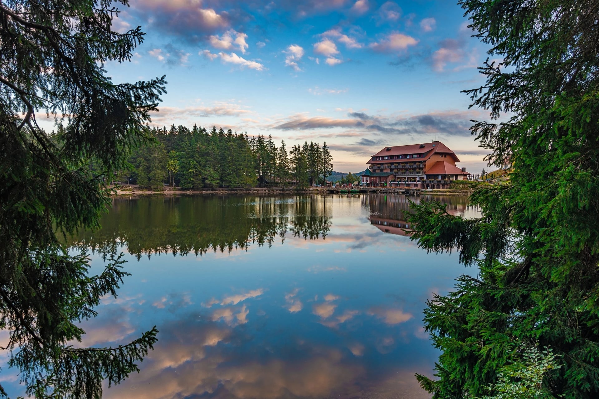
From Pforzheim the trail climbs through the Enz valley and across wide moorland to the Hornisgrinde, the highest point of the northern Black Forest. It drops to the Kinzig valley and climbs again past the Martinskapelle, the continental divide between the Rhine and the Danube. Rain falling on one roof there runs to two different seas, which is the kind of detail the Westweg trades in. The trail crosses the Mummelsee on the way, a dark circular lake at 1,036 metres that local stories insist is bottomless.
A route split near Titisee offers a choice. The western variant crosses the Belchen at 1,414 metres and faces across the Rhine to France; the eastern alternative is quieter, crossing the open farmland of the Dinkelberg. Both converge for the final approach to Basel, which has direct rail connections to Zürich, Frankfurt and Paris, making this the easiest German trail to finish and fly home from.
For those with less time, the southern section from the Kinzig valley through Titisee to Basel takes in both the Feldberg and the Belchen. It captures the most dramatic terrain on the route without committing you to a fortnight. It runs about five days and needs no backtracking, because the trains reach both ends of it.
One practical point about the Westweg. Stage ends are spaced for walkers doing the full route, so shortening a stage often means no bed at the halfway point. Check the accommodation map before planning a lighter day, because the gaps between villages are the constraint, not the distance.
2. Schluchtensteig Gorge Trail
Region: Southern Black Forest, Stühlingen to Wehr
Distance: 119 km
Stages: 6 walking days
Ascent: 3,180 m, with 3,290 m of descent
High point: 1,148 m at Krummenkreuz
Season: May to October
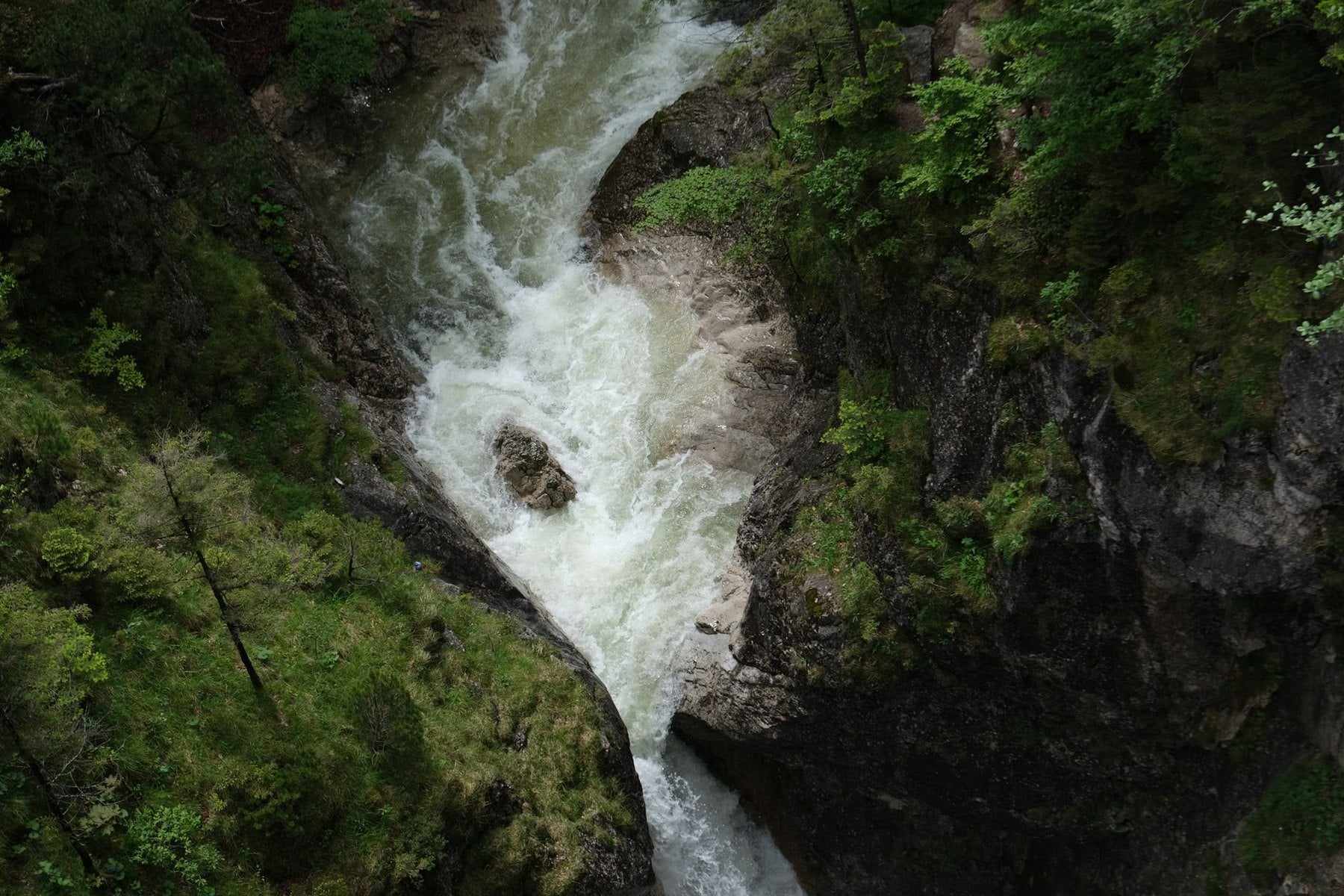
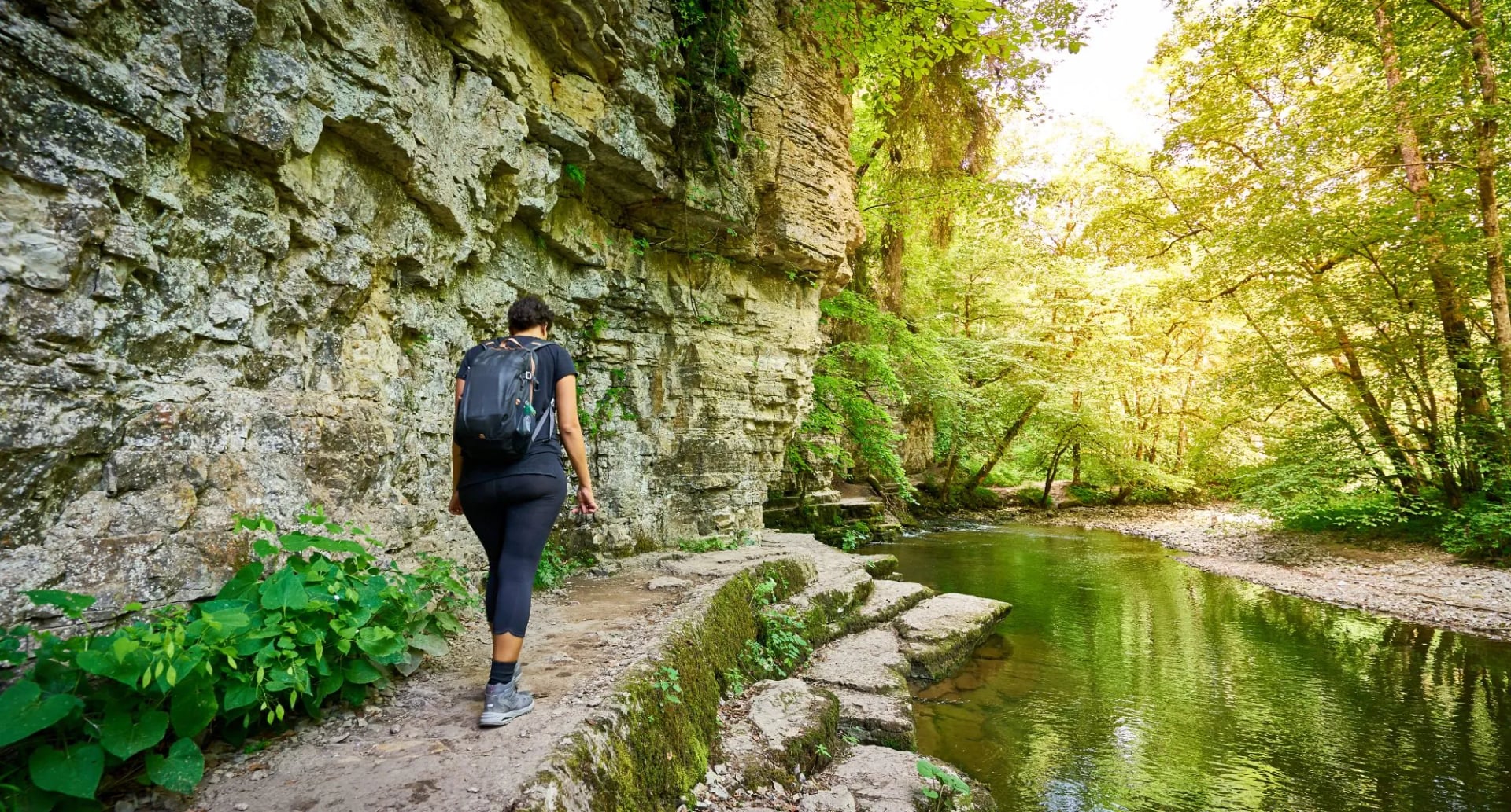
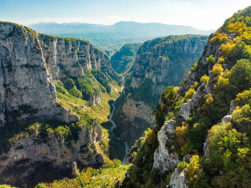
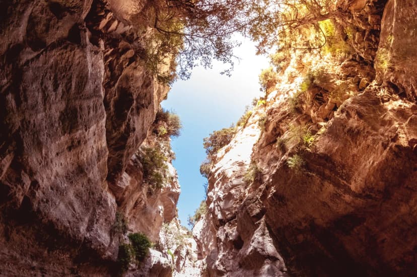
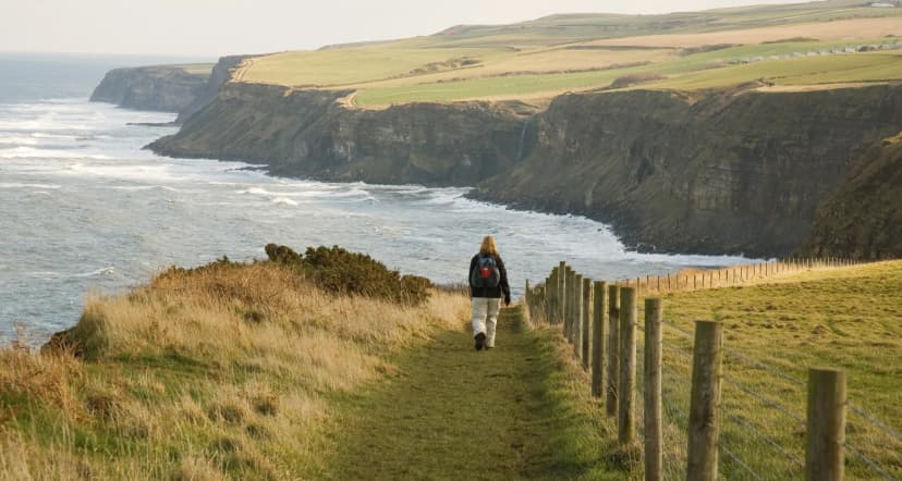
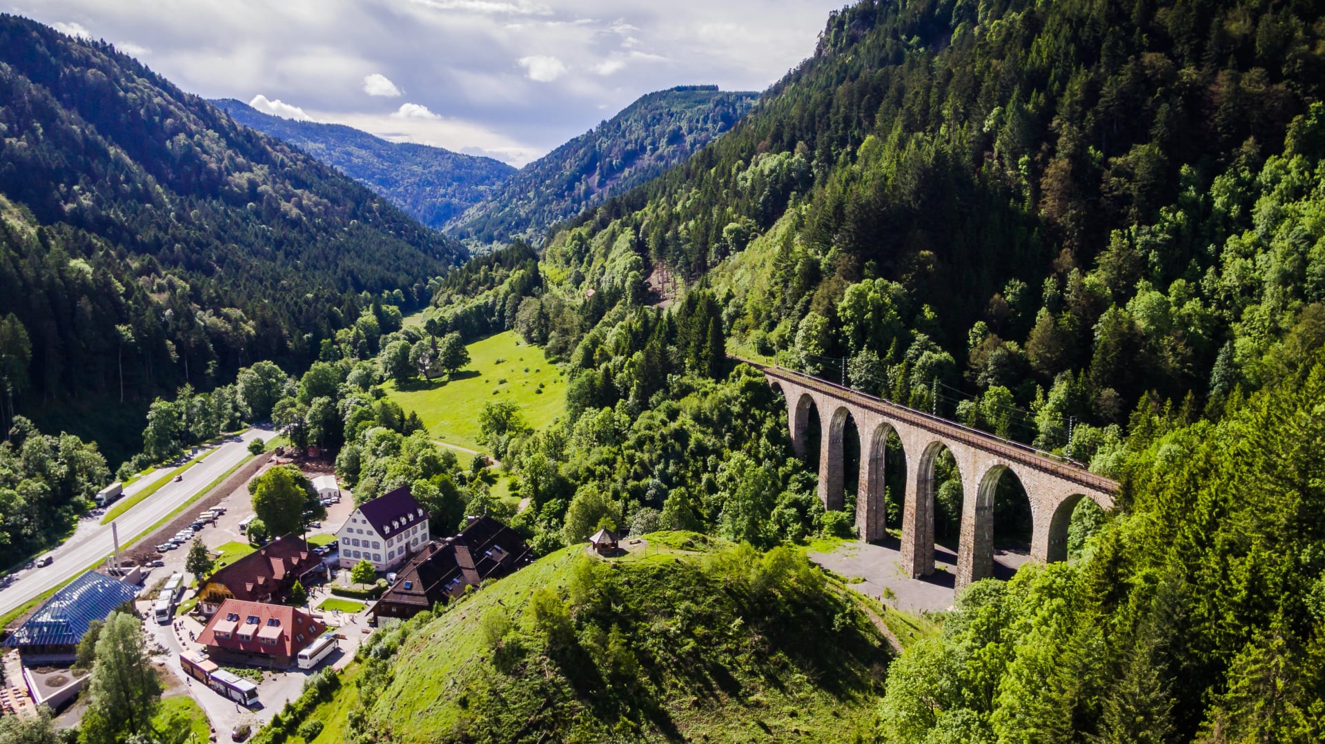
Where the Westweg follows a ridge, the Schluchtensteig drops repeatedly into gorges, seven of them across six stages. They include the Wutach, one of the wildest river canyons in Germany and the reason most people walk this trail at all. It packs the most concentrated scenery per kilometre anywhere in the range.
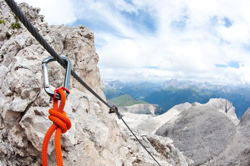
The trail demands good fitness and more technical confidence than any of the ridge routes. Gorge paths run over wet roots and exposed rock, with one near-vertical ladder and several wire-rope-secured ledges. Walkers should have previous multi-day hillwalking experience and be comfortable on uneven, slippery ground before starting.
After prolonged rain the Wutach and Wehra sections become significantly more slippery, and waterproof boots with real tread stop being optional. The German Hiking Association holds the trail to Quality Trail certification, which covers waymarking, surface and the density of accommodation along it. Certification also means the stage ends are checked for beds, so the published itinerary is reliable.
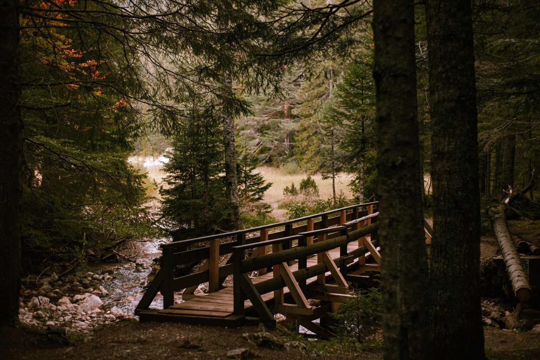
The Schluchtensteig is the one of the four we run ourselves, which is why its stages are broken out here and the other three are not. The six in order:
Stage 1, 19 km: Stühlingen along the Wutach, past the Sauschwänzlebahn heritage railway into the Wutachflühen, with the first panorama from the Buchberg viewpoint at 876 metres
Stage 2, 20.5 km: the Wutach Gorge at its most dramatic, the 8-metre ladder down into the Schleifenbach, and the ledge path above the river to Löffingen
Stage 3, 21 km: back into the gorge system past the Räuberschlössle ruins and the Stallegger bridge, then a steep climb to Fischbach
Stage 4, 18.5 km: Lake Schluchsee spread out below, the high point at Krummenkreuz, and a steep descent to the baroque dome of St. Blasien
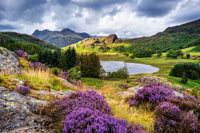
Stage 5, 17.3 km: the open Hotzenwald plateau, heather meadows and views to the Feldberg, then down into the Hohwehra gorge to Todtmoos
Stage 6, 20.3 km: the Wehra Gorge with walls closing 200 metres above the river, finishing in Wehr's castle park
Do not walk this route in winter. The gorge paths ice over in frost and the exposed ledges become dangerous, which is why the trail is officially closed from November to April. The bypass around the ladder does not solve the problem, because the ledges ice too.
The Schluchtensteig is also the one Black Forest trail where the season really matters. Walk it in May and the waterfalls are at full volume with the ledges still slick; walk it in late September and the water is low and the footing is at its best. Both are good trips, but they are not the same trip.
3. Mittelweg to Waldshut
Region: Pforzheim to Waldshut-Tiengen
Distance: 230 km
Stages: 9 walking days
Ascent: around 4,900 m
High point: 1,196 m on the Hochfirst
Season: late April to late October
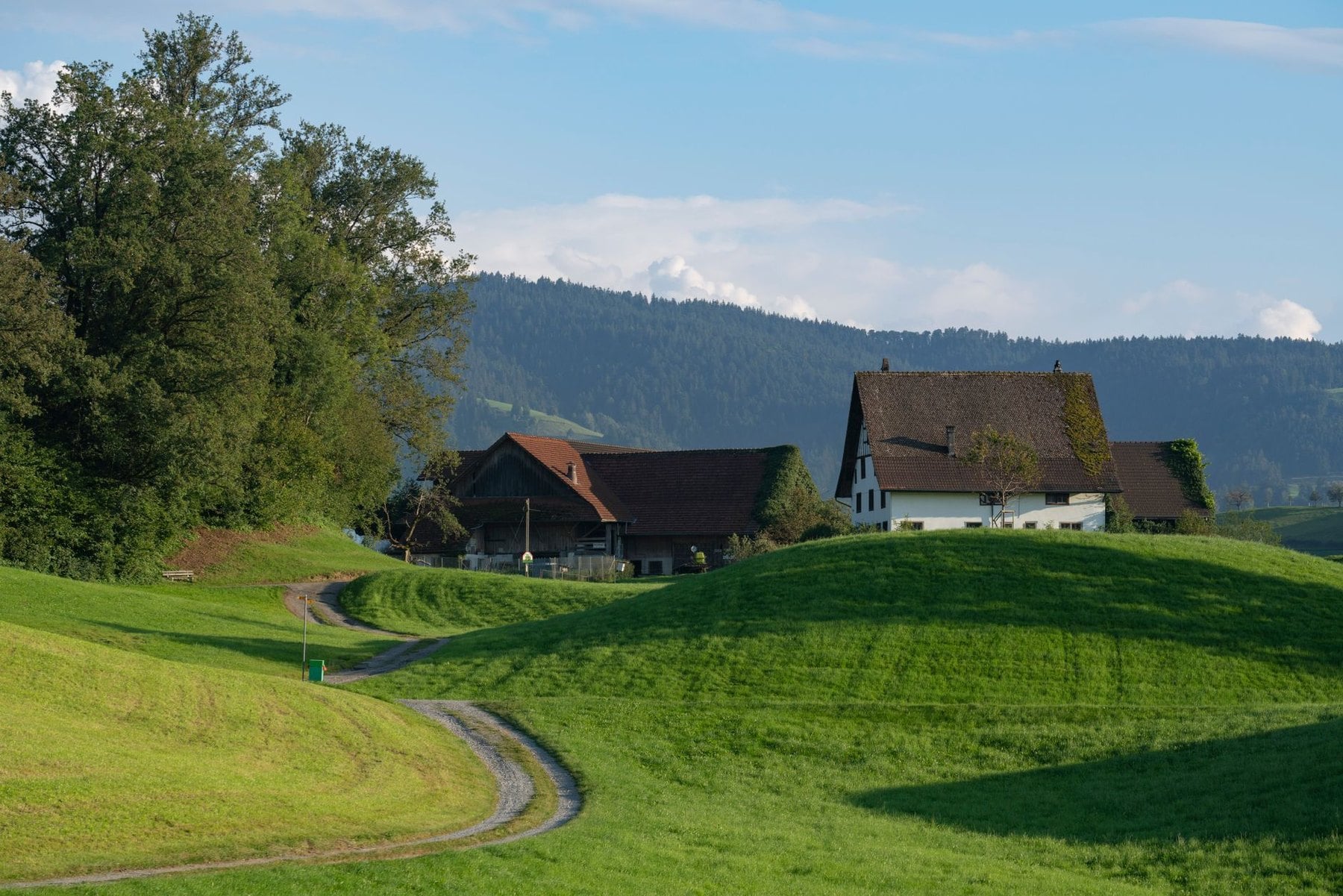
The Mittelweg is the most accessible of the ridge trails in fitness terms. At 230 kilometres over nine stages it follows a central line through the range from Pforzheim to Waldshut-Tiengen on the Swiss border, taking a middle course between the Westweg's high ridge and the Ostweg's eastern farmland. That middle line is why it sees the least traffic of the three ridge routes.
It was established in 1903 alongside the Ostweg, and it passes through a quieter and in places less-visited part of the forest than either of its neighbours. The villages are smaller and the walking sees fewer people even in August. Accommodation is correspondingly simpler, and booking a day ahead is usually enough.
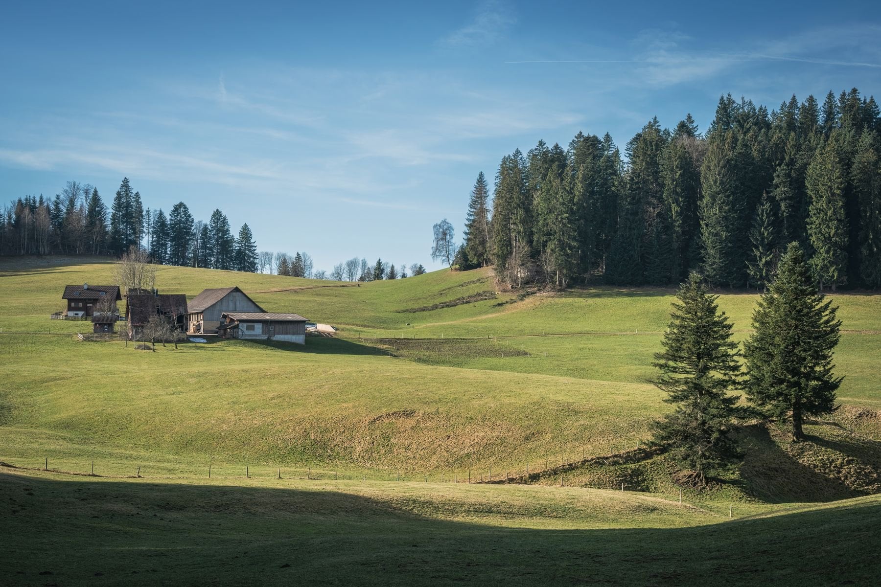
Moderate fitness is sufficient. Daily stages average shorter than the Westweg and the cumulative elevation is meaningfully lower, which makes this a reasonable first multi-week trail for walkers who are regularly active but have not committed to a long-distance route before. Nine stages is also short enough to fit a fortnight with rest days built in.
The Mittelweg suffers slightly from being neither one thing nor the other, and that is exactly why it stays quiet. It has no single famous feature to draw day visitors, so the people you meet are walking the whole line. For a first long trail that anonymity is an advantage, not a drawback.
4. Ostweg to Schaffhausen
Region: Pforzheim to Schaffhausen
Distance: 246 km
Stages: 12 walking days
Ascent: around 5,200 m
High point: 921 m on the Schwärzenkopf
Season: April to late October
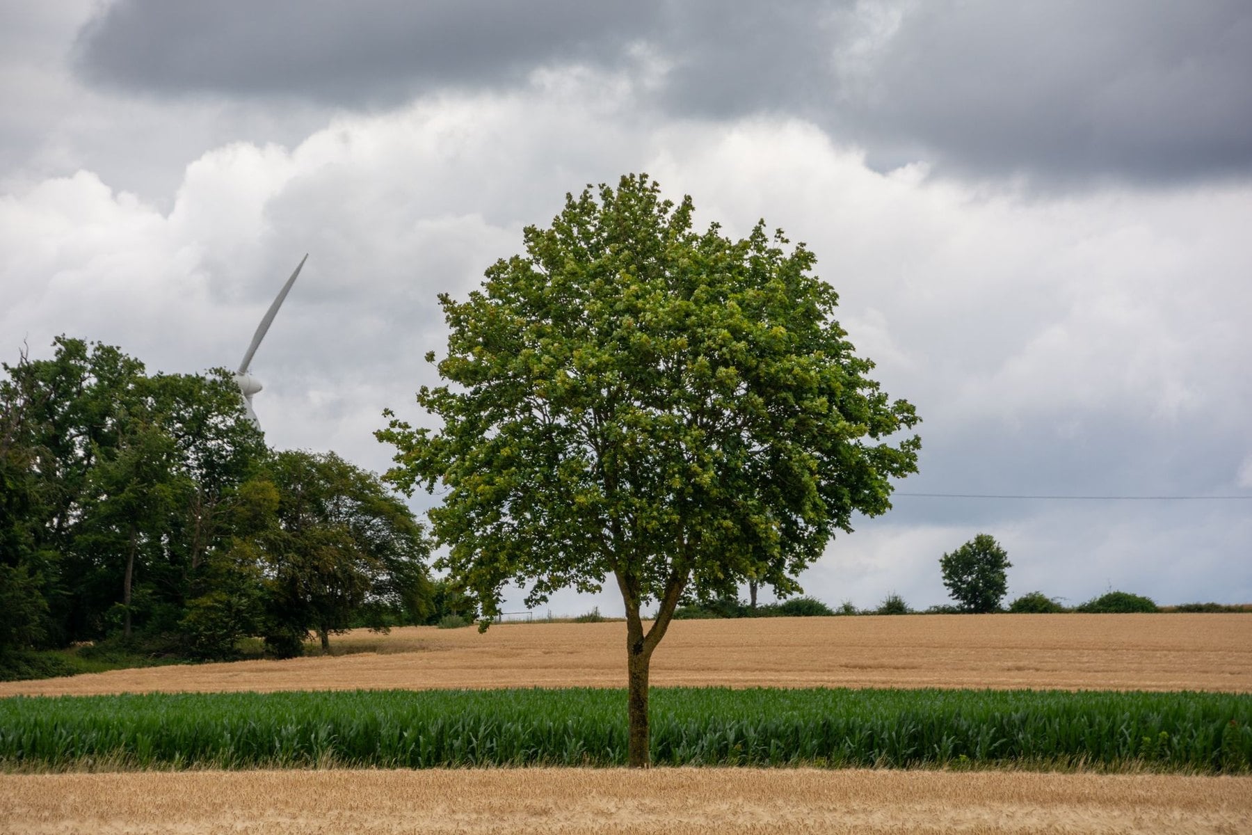
The Ostweg runs east of the central ridge from Pforzheim to Schaffhausen in Switzerland. Also established in 1903, it traverses the lower, more agricultural eastern fringe of the Black Forest, with more open farmland and fewer high-altitude passages than anything else here. The forest never disappears, but it thins into hedgerow and field for long stretches.
It is the least physically demanding of the four trails by a clear margin. Lower altitude, gentler gradients and more regular villages mean stages are rarely punishing, and there are no technical demands anywhere on the route. That makes it the obvious choice for a first multi-day walk.
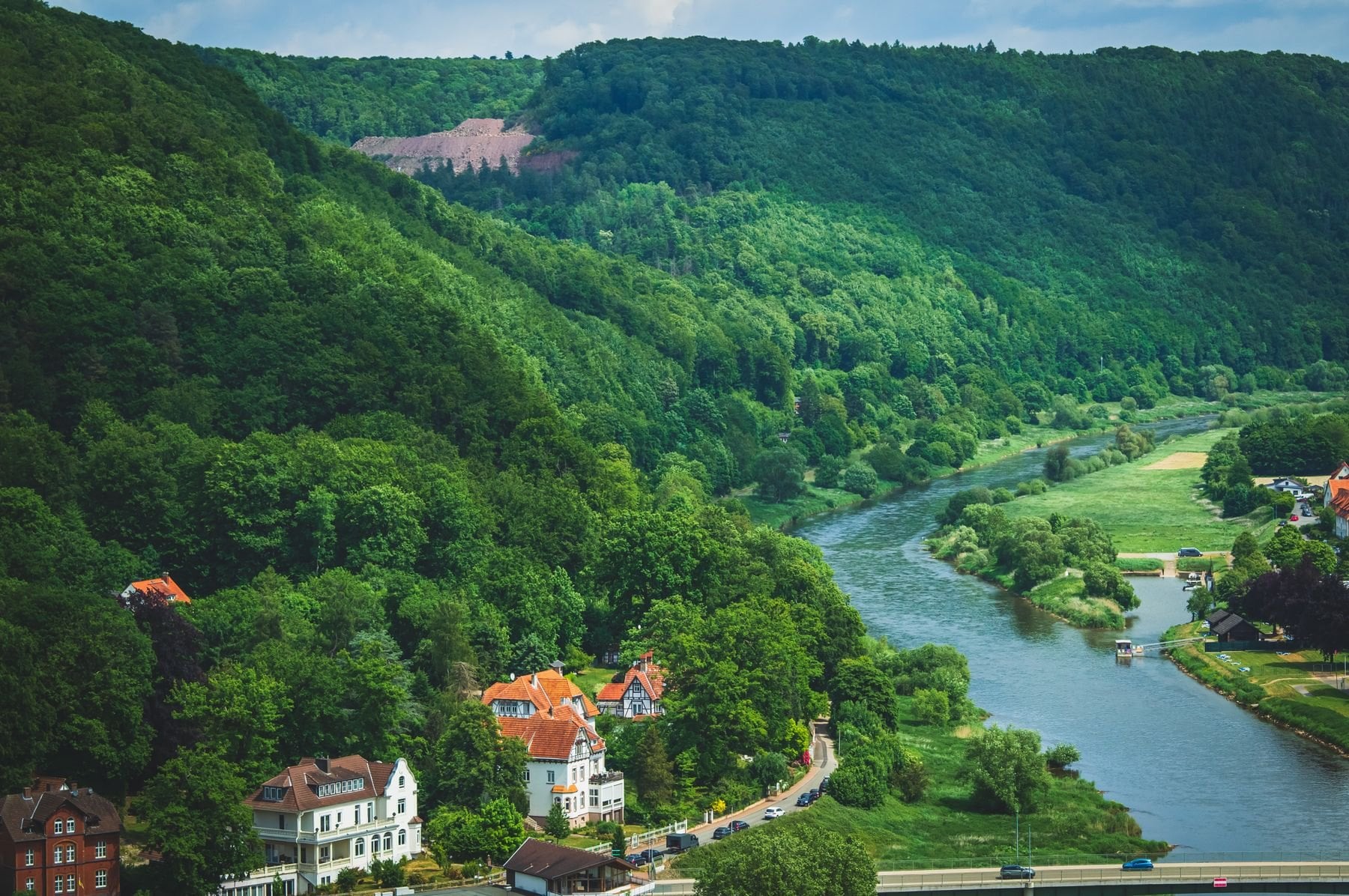
It is also the least dramatic scenically, and it would be dishonest to pretend otherwise. What it offers instead is a quieter, more pastoral character and very reliable accommodation in larger villages, which matters more than scenery to some walkers and not at all to others. Walkers who want a first long trail without a reason to abandon it tend to rate it highly.
The Ostweg ends in Schaffhausen, a short walk from the Rhine Falls, which makes for an unusually satisfying finish to a gentle trail. Trains from Schaffhausen reach Zürich in under an hour. Finishing at a real landmark is rarer on long-distance trails than it should be.
Waymarking and Terrain
Waymarking and Navigation
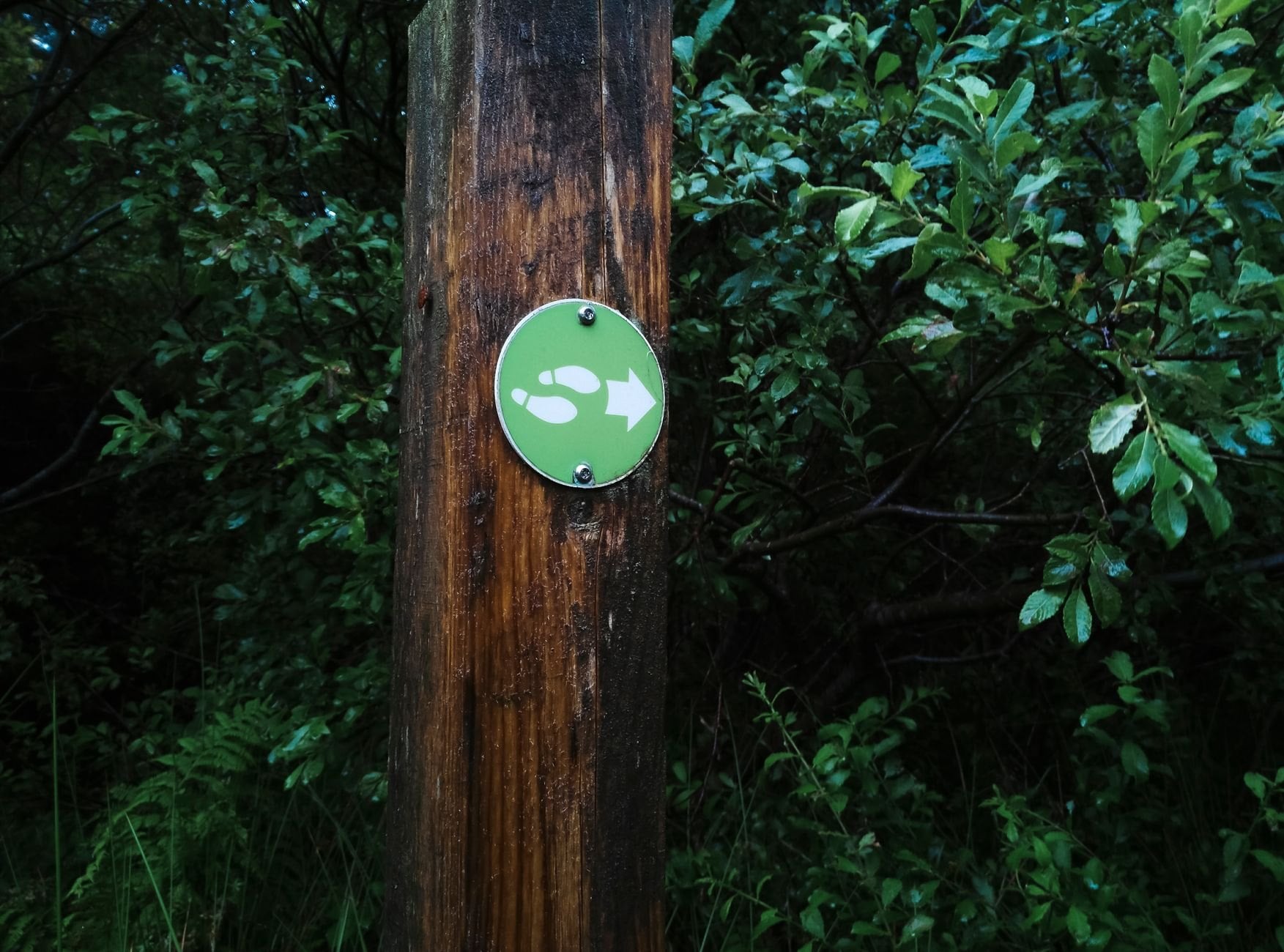
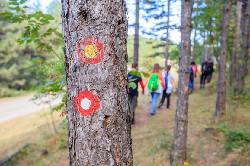
The Schwarzwaldverein maintains the whole network and the waymarking is consistent across it. The four long-distance trails use a coloured-diamond system: red for the Westweg, red-and-black for the Ostweg, red with a white bar for the Mittelweg, and green for the Schluchtensteig. Those four symbols are all you need to memorise before arriving, and they have not changed since 1903.
The general local trail network uses a yellow diamond and guides walkers between signed posts at junctions. As long as you follow the correct coloured symbol, navigation is reliable on all four routes in clear conditions. This is not terrain where people get lost on a waymarked path.
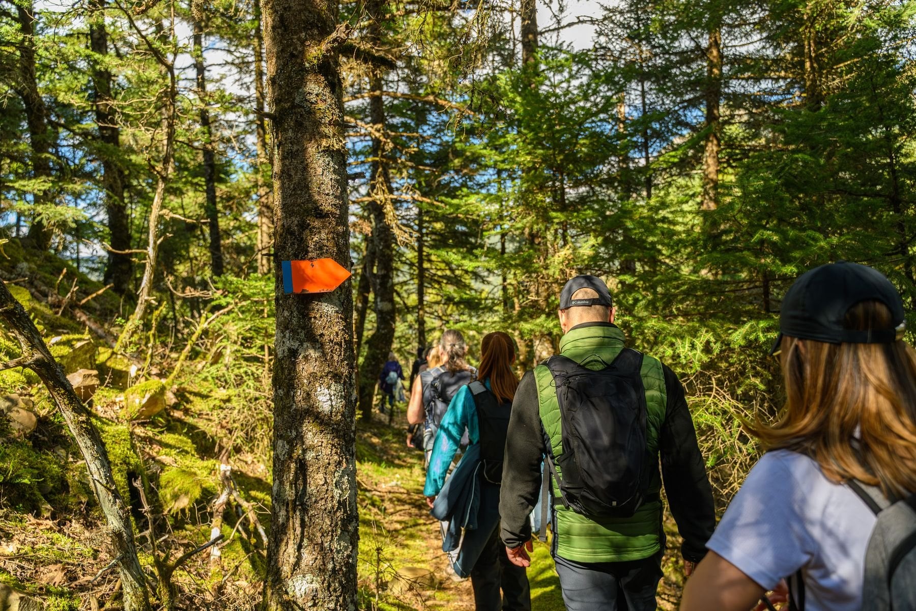
Komoot and Outdooractive both carry the long-distance routes with GPS tracks. On the main trails the signage is good enough that you will rarely consult a phone, but offline GPS earns its place in the gorges, where signal disappears and the light goes early under the canopy. Download the whole route rather than a single stage, because the gorges cross network boundaries.
Trail signage is in German only, including the emergency sector markers. Three words cover most situations: Unterkunft is accommodation, Gasthof is guesthouse, and gesperrt means closed, which is the one to recognise on a gorge path in spring. A gesperrt sign in the Wutach usually means the ledges are still iced or a bridge is out.
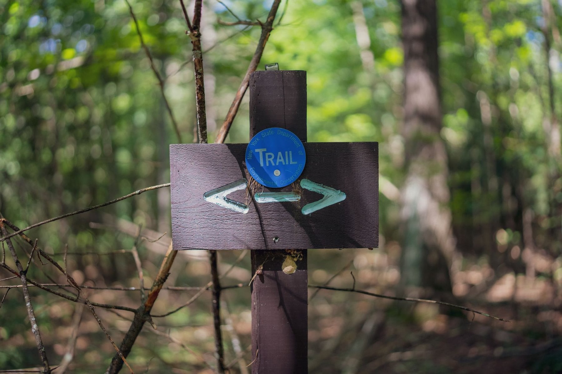
Most guesthouses in popular walking areas have some English, and the Schwarzwaldverein publishes route information in German.
Terrain and Difficulty
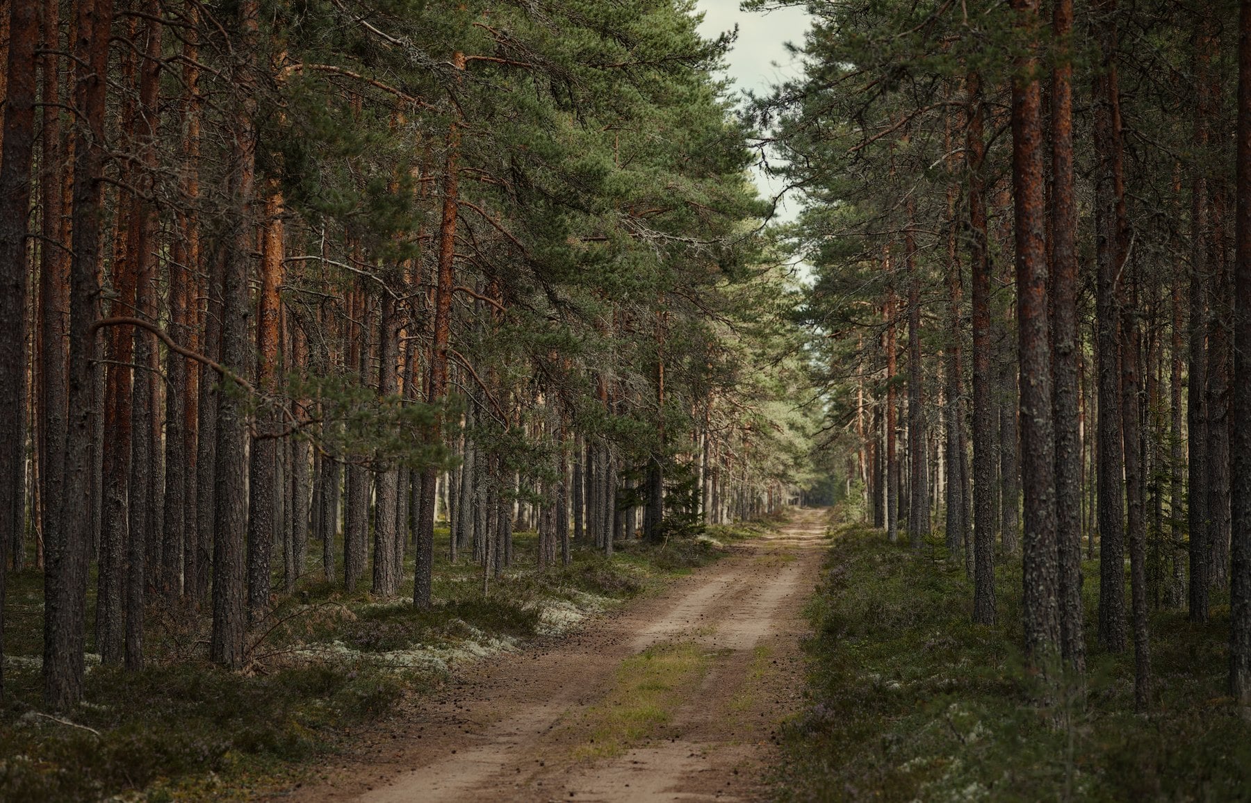
The Westweg moves between dense spruce forest, open moorland, rocky ridges and the vineyard-fringed southern slopes towards Basel. The surface is mostly forest track and natural trail, with paved stretches through villages and the occasional road crossing. Nothing on it needs more than an ankle-support boot.
The Schluchtensteig is a harder walk in every sense. Roots, wet rock and exposed ledges are standard through the gorge sections, and conditions deteriorate quickly after rain, not gradually. The difference between the two trails is not distance or ascent but what the ground does when it is wet.
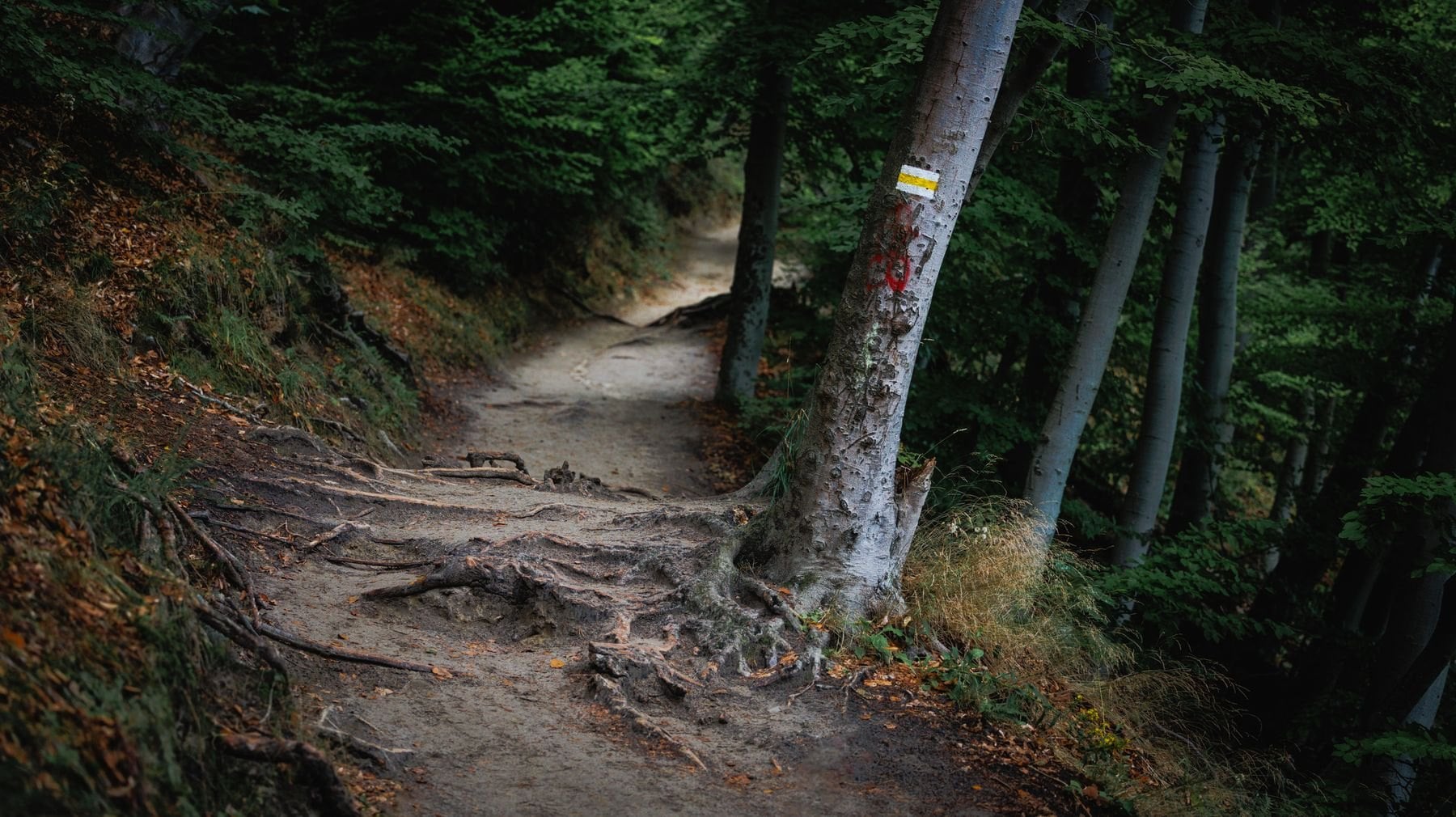
On any of the four, knee strain is a bigger issue than altitude. The climbs are sustained but never technical, and the descents are often steep and long. Walkers arriving from Alpine backgrounds may find the elevations modest, but the gorges are more committed terrain than most casual hikers expect from Germany.
Best Time to Hike
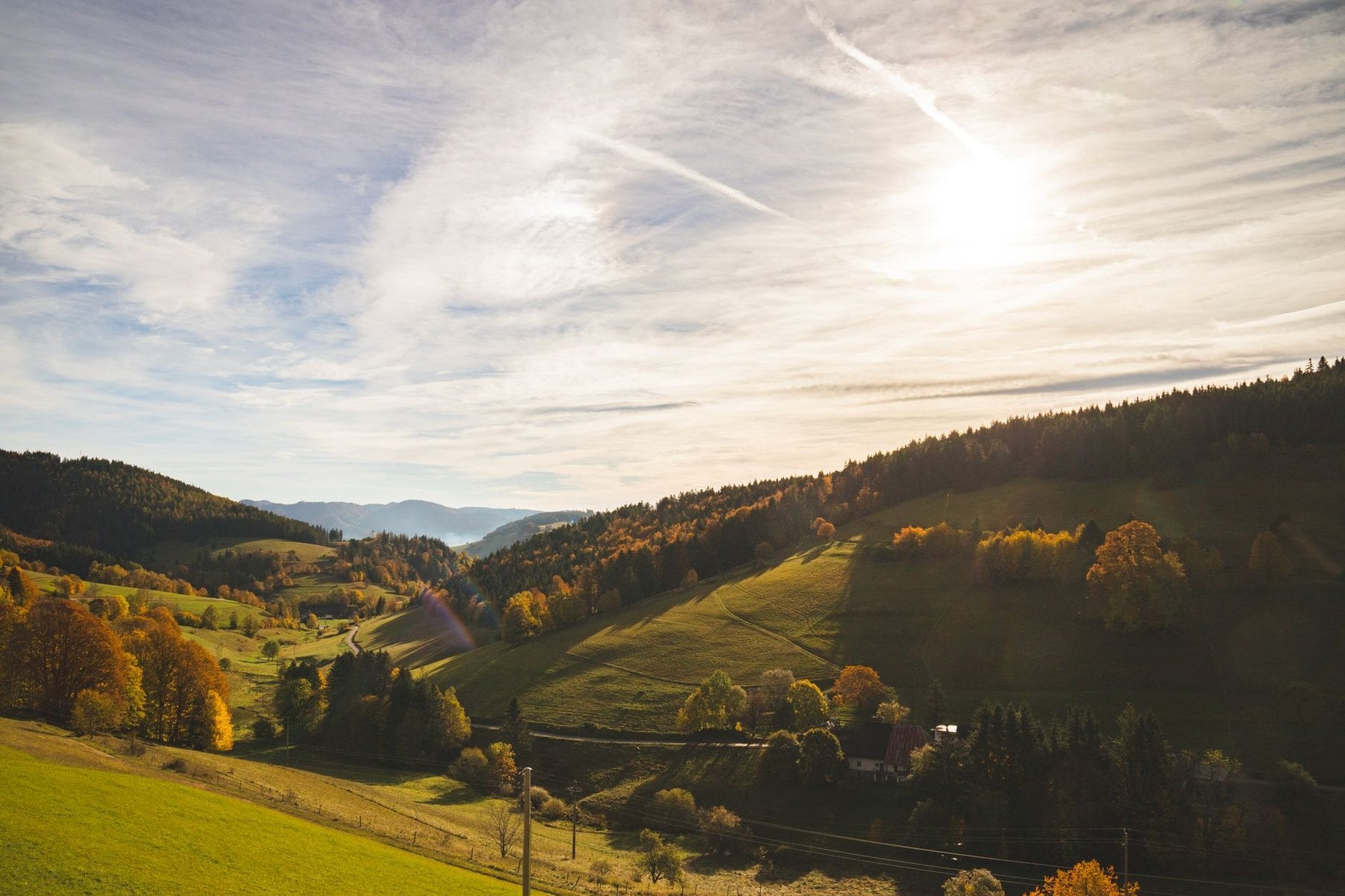
The main season runs from late April to late October, though the right window depends on the route. May and June bring wildflowers on the high plateau, running streams and waterfalls at their most dramatic. Paths can be wet and muddy after rain, and the Schluchtensteig opens officially at the beginning of May.
July and August are warm and reliably dry, with the best long views and the most daylight. The Titisee area and the Feldberg circuit get noticeably busy at weekends while the gorge trails stay quieter throughout. If you walk in high summer, start early, because open ridge stages on the Westweg get hot by midday.
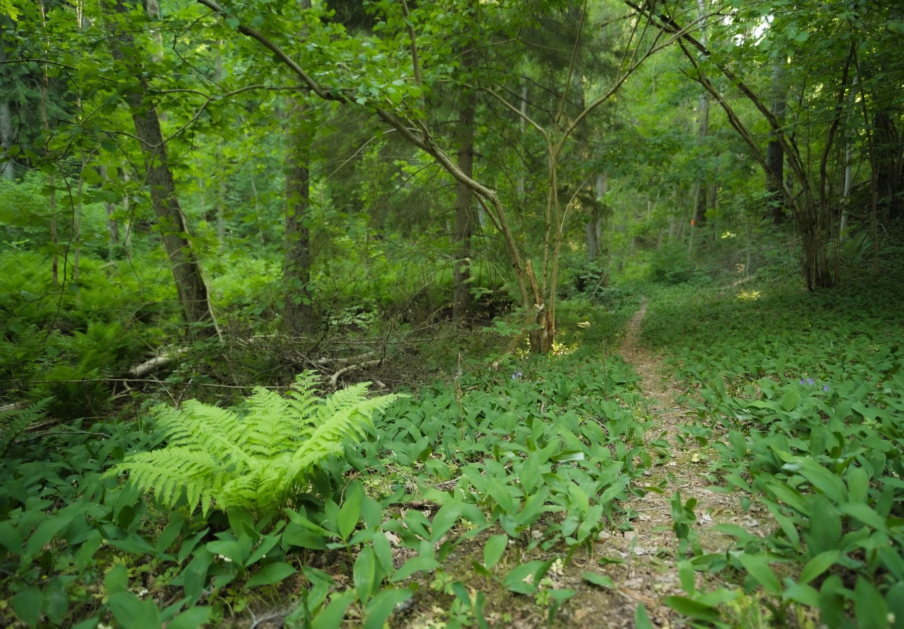
September and October are the best months for most walkers. Temperatures drop to comfortable levels, the deciduous sections turn colour along the lower valleys, and accommodation is easier to book. Crowds thin markedly after the first week of September, and early October gives the best combination of settled weather, colour and quiet.
November to April closes the Schluchtensteig officially, and for good reason. The Westweg ridge stays accessible in winter for experienced walkers with proper gear, though accommodation is very limited outside villages on the main road network. Winter walking here means planning around what is open rather than what is nearest.
Guesthouses in the Black Forest
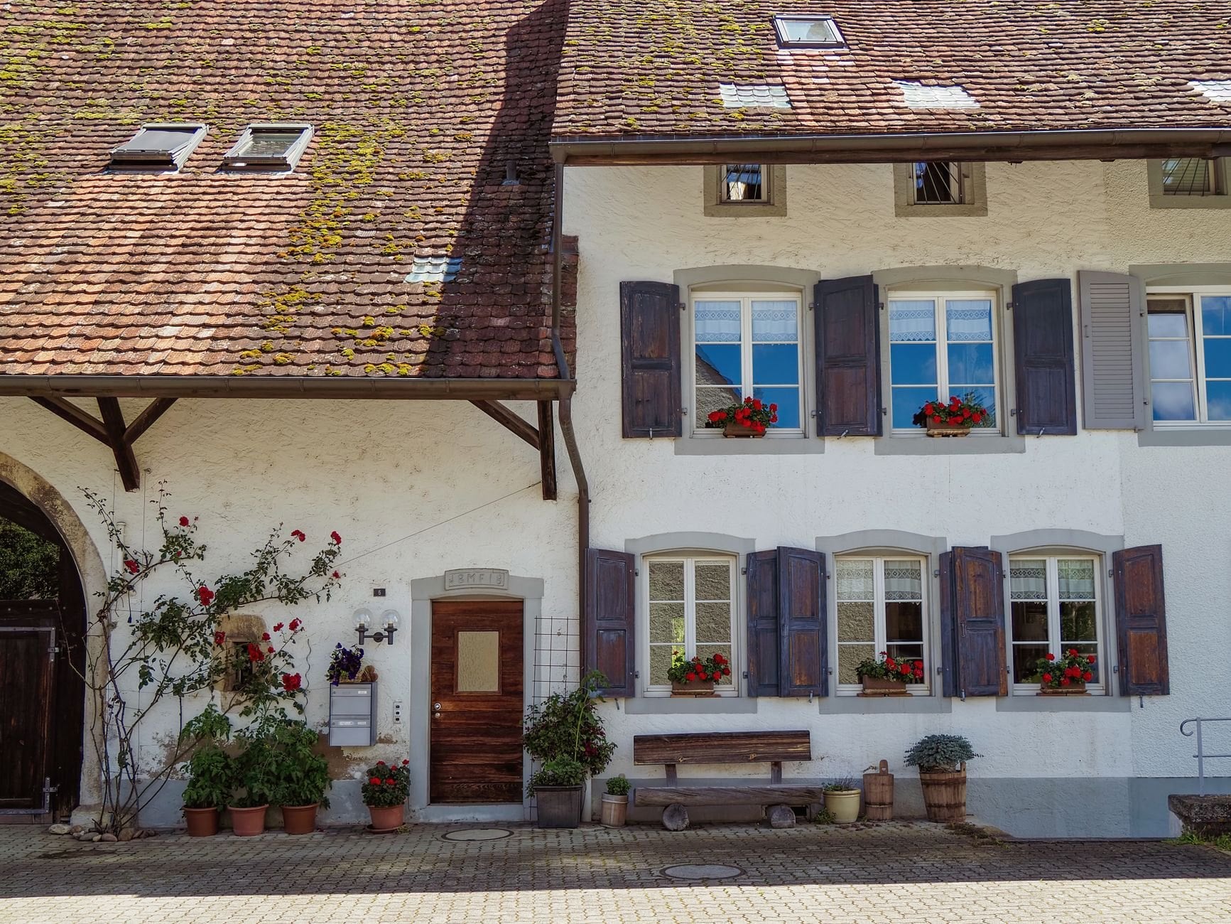
The Black Forest has a deeply rooted Gasthof tradition of small family-run guesthouses in villages that have been hosting walkers since the trails were laid out. On all four trails villages appear frequently enough that pre-booking two or three nights at a time is sufficient. You do not need to plan the whole itinerary months ahead.
Most Gasthöfe on the walking routes offer dinner, bed and breakfast packages suited to multi-day walkers, with packed lunches to order the night before. Many carry the Qualitätsgastgeber Wanderbares Deutschland mark, which commits them to drying rooms and early breakfasts along with luggage transport to the next stage. On a wet week in the gorges the drying room stops being a nicety.
There is no hut system here in the Alpine sense. The whole network relies on villages, so stage planning means confirming your end point has at least one guesthouse. On all four main trails that is true of every official stage stop, but St. Blasien and Todtmoos have few beds and are worth securing early.
The Schluchtensteig now also has trekking camps at several wild locations reachable only on foot, with tent pitches, a fireplace and a basic toilet block, bookable from May to October. Youth hostels cover several larger towns on the Westweg and Mittelweg, and Camping Schluchsee is the main formal campsite on the gorge route. Between them the region covers every budget without a hut network to depend on.
Booking pressure is far lower than the Alps. On the Mittelweg and Ostweg a day or two ahead is generally enough in most months. The Schluchtensteig fills faster in late August and September, and Titisee books up quickly in July and August, so those are the two places to plan around.
What to Pack
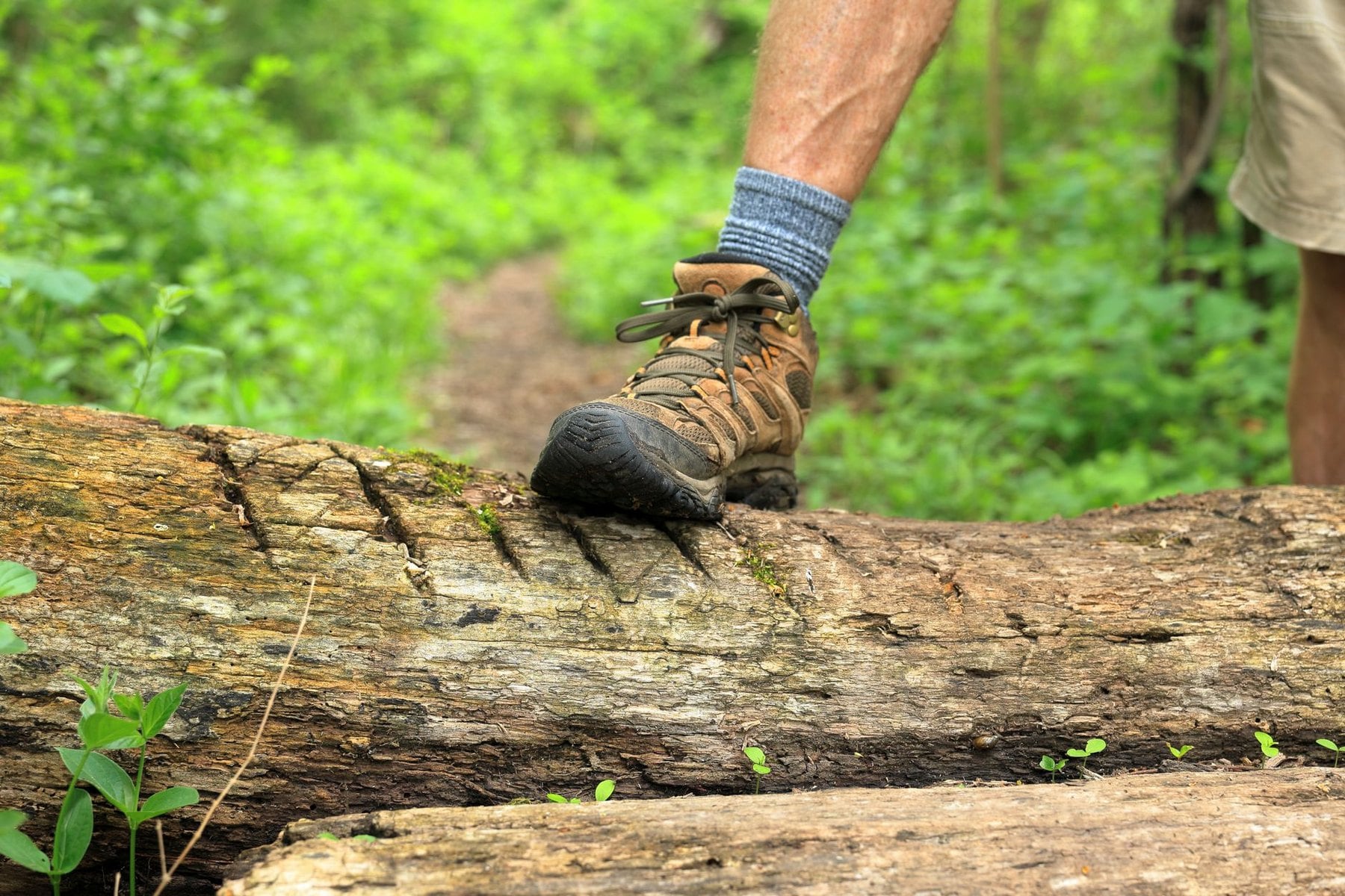
Footwear is the one decision that truly separates these trails. The Westweg, Mittelweg and Ostweg are comfortable in a standard ankle-support walking boot. The Schluchtensteig needs real tread and a waterproof upper, because wet roots and slick rock are the normal condition in the gorges, not the exception.
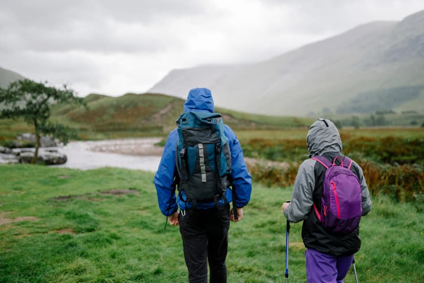
Rain gear matters more here than in the Alps, which surprises people. The forest holds moisture, the gorges stay damp for days after rain, and a shell that wets out ruins a stage in a way that a brief alpine shower does not. Gaiters are worth carrying for the gorge sections in spring.
There is no hut liner requirement anywhere in the Black Forest, because there are no huts. What replaces it is enough cash for two nights at a time, since several Gasthöfe and all the trekking camps are cash-only or strongly prefer it, and the nearest machine can be kilometres off route. Twenty and fifty euro notes are easier to spend than anything larger in a village Gasthof.
Add a headtorch for the gorges, where the canopy brings the light down early, and download offline maps before you start. Trekking poles earn their place on this terrain: the descents are long and the knees take the load, particularly on the Schluchtensteig's repeated drops into and out of the gorges. Six stages of that adds up in a way a single steep day does not.
Tap water is safe throughout the region. Stream water in the gorges usually looks clean but carries agricultural runoff risk on sections near farms, so carrying a filter or filling at accommodation is the safer approach on the Schluchtensteig in particular. Every stage end has tap water, so the filter is insurance and not a necessity.
Getting to the Black Forest
For the Westweg, Mittelweg and Ostweg the starting point is Pforzheim, reached directly from Karlsruhe in under 30 minutes on regional services. Karlsruhe sits on the main Frankfurt to Basel ICE line, with Frankfurt to Karlsruhe taking around an hour, so the trailhead is straightforward from any international arrival. Total travel time from Frankfurt airport to the start of the Westweg runs under three hours.
The Westweg ends in Basel, which has direct international connections to Zürich, Frankfurt and Paris, and onward to London by Eurostar. That makes it unusually convenient for a point-to-point trip, because you fly into one country and out of another without backtracking. No other German long-distance trail finishes at an international hub of that size.
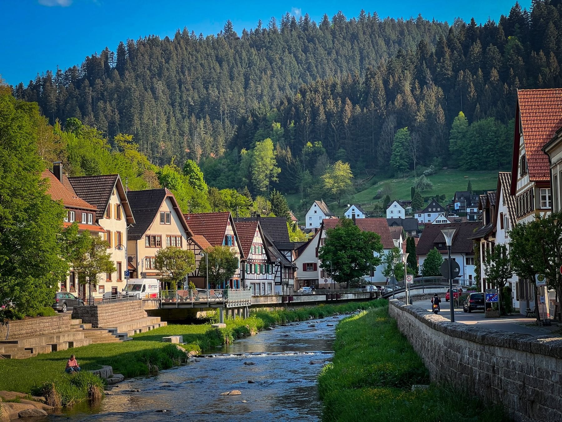
For the Schluchtensteig the start is Stühlingen, reached by rail and bus from Basel or via Stuttgart and Singen, and services on that corridor change periodically so check bahn.de before travelling. The finish at Wehr has regional rail to Basel and onward to Freiburg. Both ends therefore sit on the same network, which simplifies an open-jaw booking.
Freiburg is the main gateway for the southern Black Forest. ICE trains connect Frankfurt to Freiburg in about two and a half hours, and from there the Höllentalbahn runs up the Hell Valley gorge to Titisee in around 40 minutes, giving access to both the central Westweg and the Feldberg. That single line is the most useful piece of transport in the southern Black Forest.
Once you are there, local transport costs nothing. The KONUS guest card comes free with any overnight stay in the region, at any hotel, guesthouse or holiday apartment, and covers all regional trains and buses in the area.
Safety on the Trail
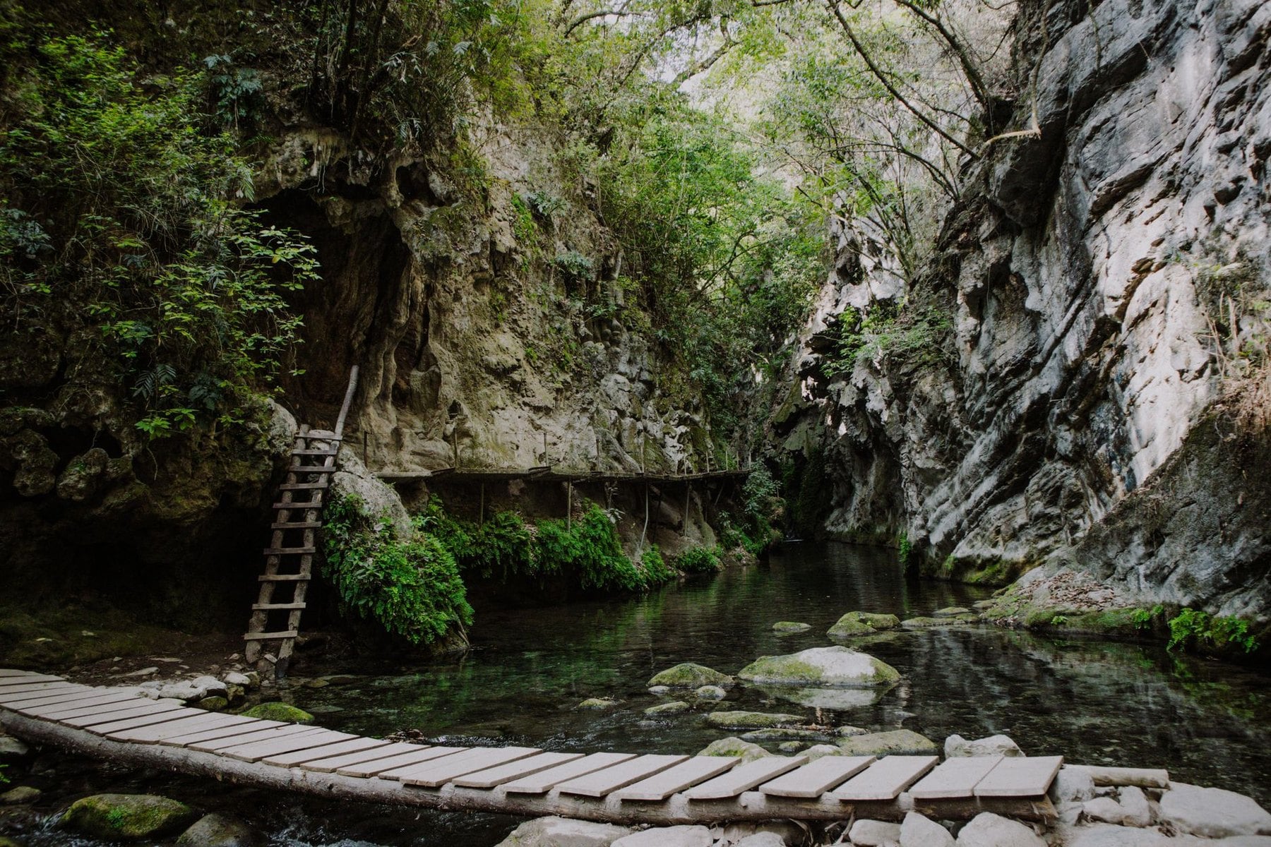
The Black Forest does not carry an Alpine safety profile. There are no glaciers, no serious altitude and the emergency infrastructure is well developed throughout. The gorge sections of the Schluchtensteig are the exception, and they deserve specific attention before you go.
After sustained rainfall the paths in the Wutach and Wehra gorges become slippery on wet roots and rock, and the gorges channel water fast. If heavy rain is forecast for your stage, consider delaying a day or taking the bypass, which exists for exactly this reason on the ladder section. Losing a day to weather costs less than a fall on wet rock two hours from a road.
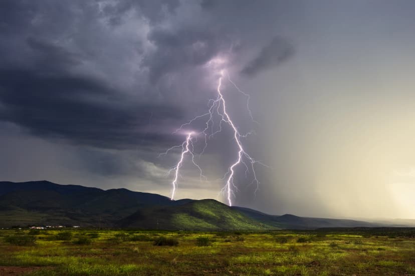
Falling deadwood is a real hazard in the protected forests, where naturally dying trees are left standing and become unstable over time. Walking in stormy conditions is discouraged here because of branches and not lightning, which inverts the alpine calculation. Check the forecast for wind rather than for storms before a gorge stage.
In Germany the emergency number is 112 and covers police, fire and ambulance. In the Wutach, Haslach and Wehra gorges the trail is divided into numbered emergency sectors marked on trail posts, so note your sector as you walk. Mobile signal is limited or absent deep in the gorges, and if you have no reception, dial 112 anyway because the phone will find the strongest available network.
Frequently Asked Questions
Which Trail to Choose
The Black Forest is old walking country. The Westweg has been walked since 1900, outlasted two world wars, was rerouted and refined across a century, and still fills Gasthöfe from Pforzheim to Basel every September. Very few trails anywhere in Europe can claim that kind of continuity.
There is a particular pleasure in walking trails that are properly used and properly maintained by an association of people who have been doing exactly that for more than 120 years. Nothing here is a marketing construction, and the difference shows in the signage and the beds. Nothing here is a marketing construction, and the difference shows in the signage and the beds. It is the quiet advantage of walking somewhere that was never designed for visitors.
If the Black Forest has been somewhere you meant to get to, get in touch whenever you are ready!

About this author
Jon is our travel advisor and an outdoor adventurer who is happiest on the move. While mountain biking is his personal passion, he thrives on crafting hiking adventures for others — planning routes and adding the little touches that turn a trip into a core memory.