Hiking in Italy by Region: The Ultimate Trail Guide
From the Dolomite spires to the Amalfi cliffs, Italy hides five great hiking regions and a handful of quieter ones. Here's where to walk in each.

Ajda
Published September 15, 2026
Edited September 15, 2026
14 min read
Quick links
Ask ten people what "hiking in Italy" means and eight will describe the Dolomites. The other two will name the Cinque Terre or Tuscany. Their peak hiking windows barely overlap: Dolomite refuges open in June, and by July the Amalfi Coast is already too hot to walk.
The most useful decision you'll make about a hiking trip to Italy is which region to commit to. Combining mountains and coastal cliffs in one week is the classic first-timer mistake. This guide takes them region by region — from the powerhouses to the ones better known for food than trails.
In short:
Six powerhouse hiking regions, plus a few quieter ones: the Dolomites, the Italian Alps, Liguria (with Cinque Terre), Tuscany, the Amalfi Coast, and Umbria's pilgrim paths — with Abruzzo, Sardinia, and Sicily's Etna worth a second visit
Season split: high alps June–September; coastal walks April–June and September–October; pilgrim paths and Tuscany March–November
Difficulty range: from the village amble of Cinque Terre (2/5) to the technical scramble of Alta Via 2 (5/5)
Trail marking: the Italian Alpine Club (CAI) network — red-white paint blazes with trail numbers — is used across the country
Best Hiking Regions
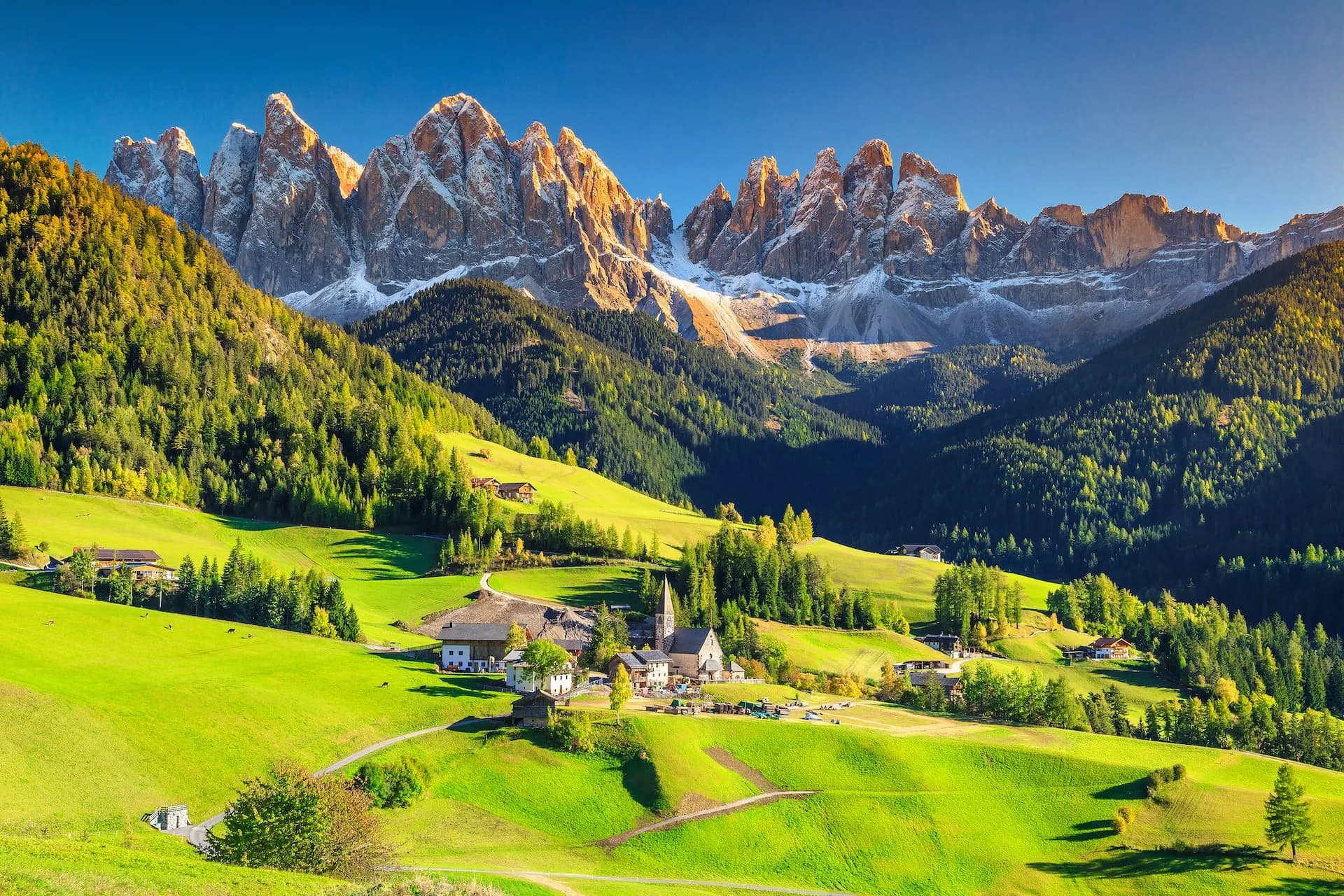
Italy is divided into twenty administrative regions on paper. On foot, only about half of them matter for those planning an active holiday — and only six deliver the country's finest walking: the Dolomites, the Italian Alps, Liguria (with Cinque Terre), Tuscany, the Amalfi Coast, and Umbria's pilgrim paths.
Below, we cover most hiking worthy areas in an honest breakdown so you can find it easier to choose the best one yourself.
The Dolomites
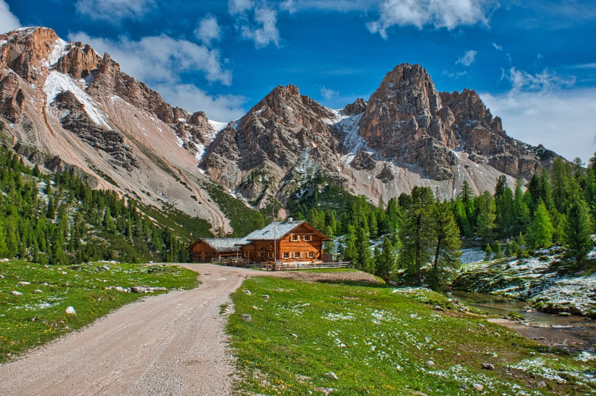
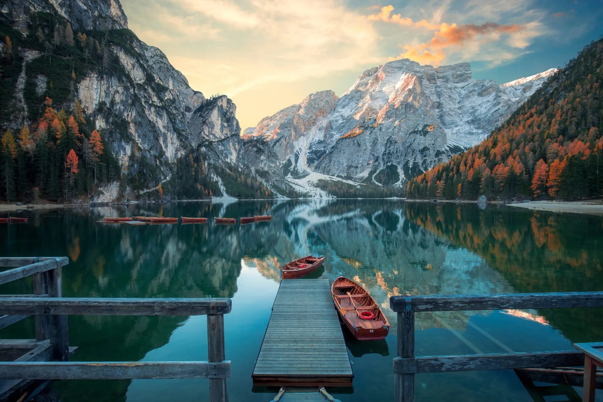
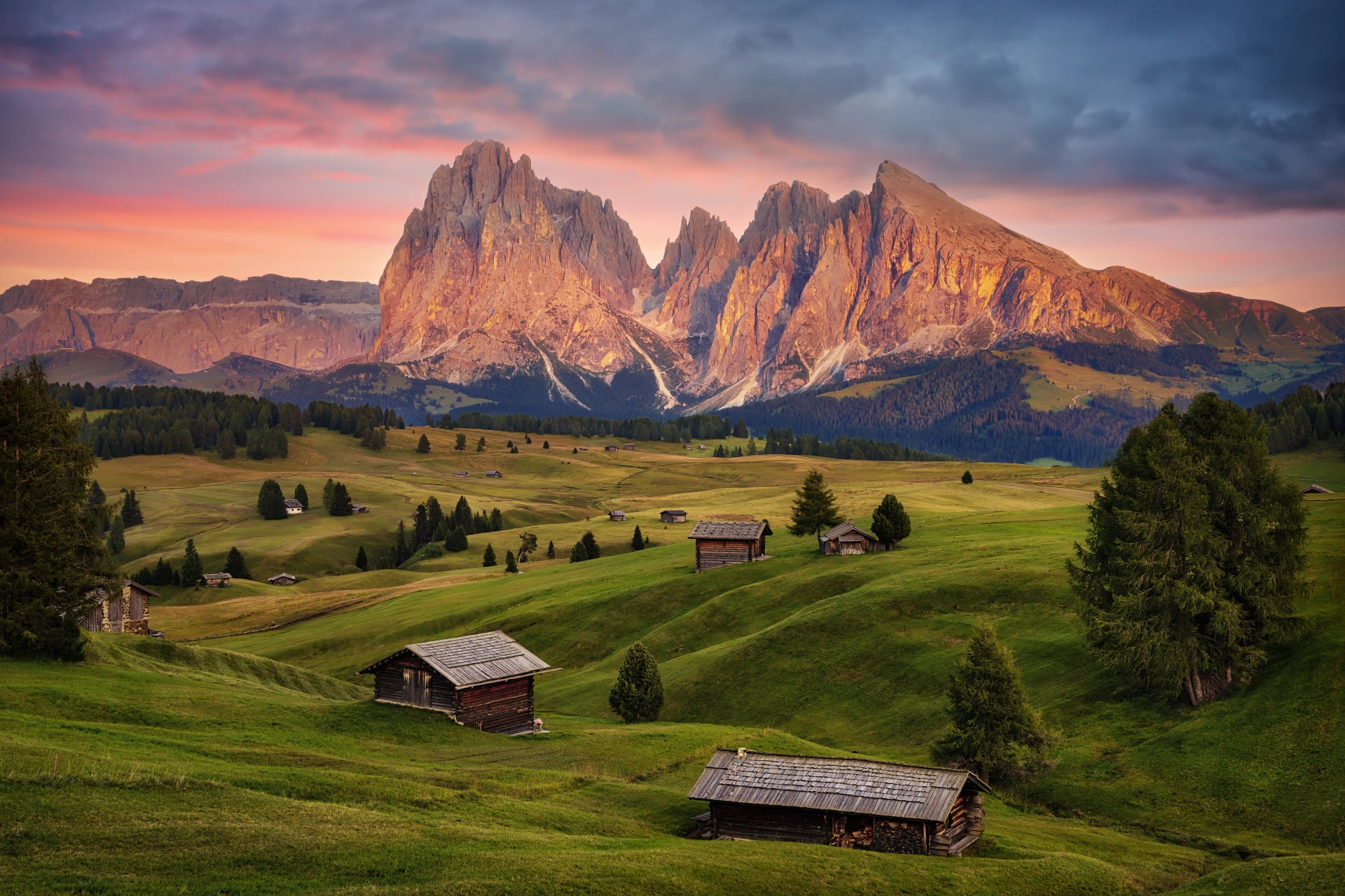
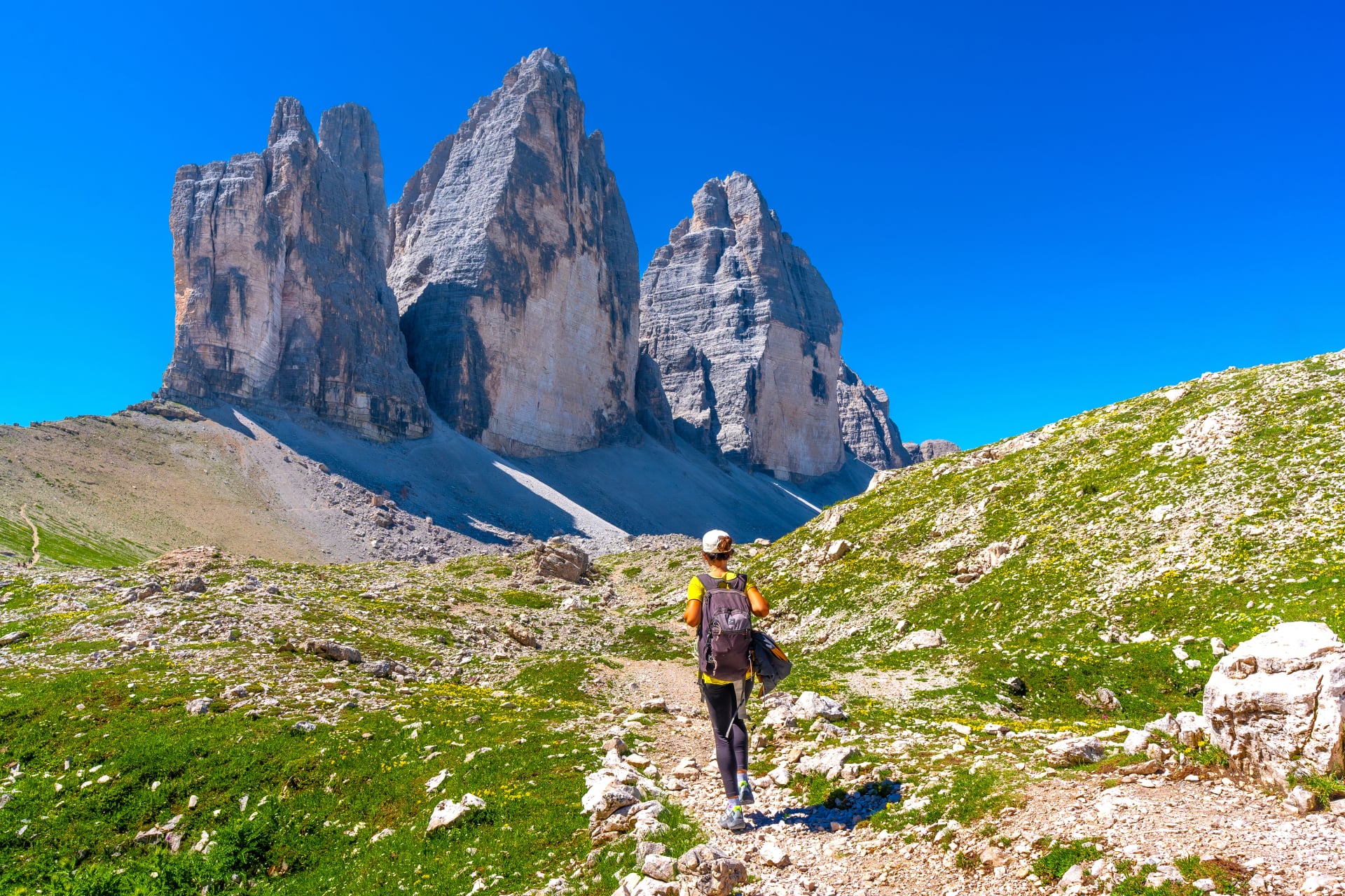
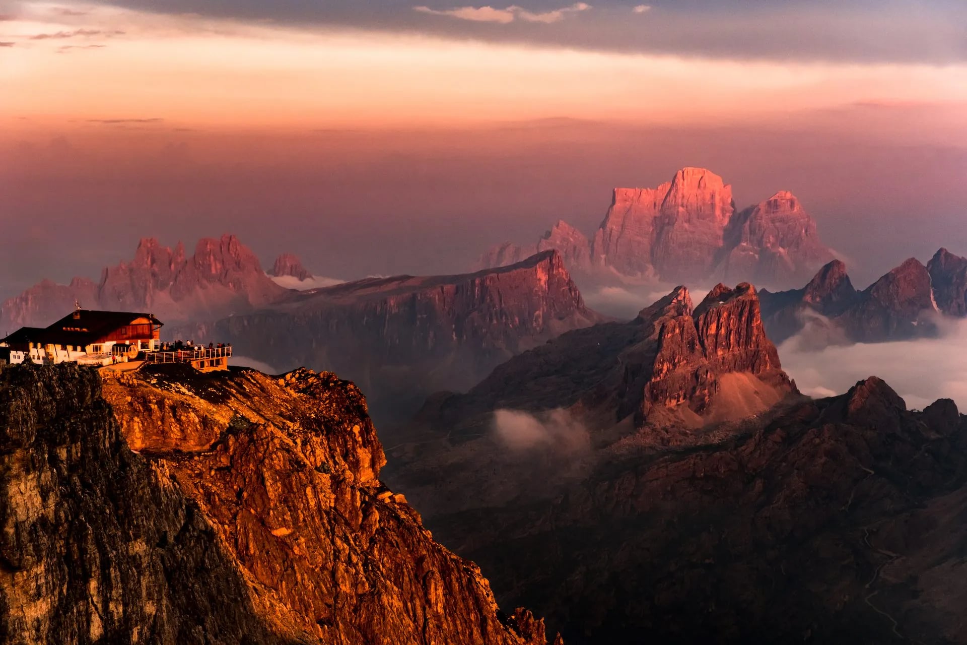
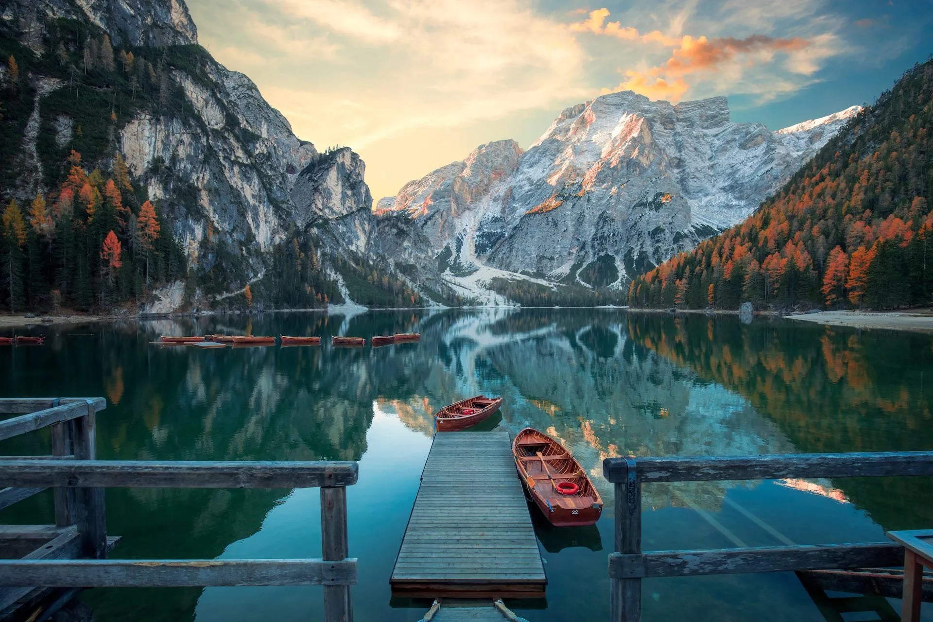
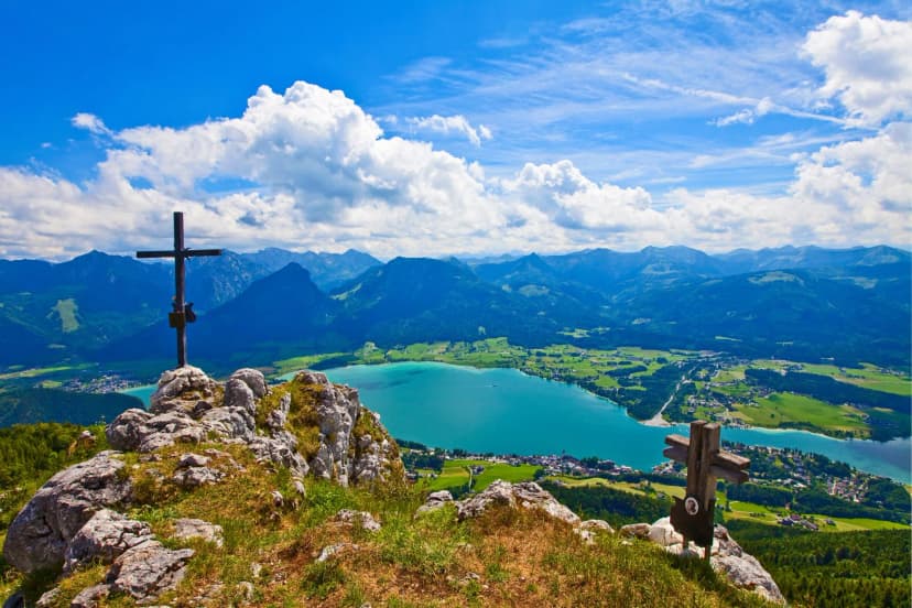
If you have only one hiking week in Italy, walk in the Dolomites. The UNESCO-listed limestone range in the northeast is Italy's undisputed hiking heartland. What sets it apart isn't just the vertical drama of the spires (Tre Cime, the Sella group, Marmolada) but the rifugio network: a hut every three to five hours of walking, hot food included, no tent required.
The two long-distance routes are Alta Via 1 (~120 km, 10 days, moderate) and Alta Via 2 (180 km, 13 days, harder, with via ferrata). Shorter itineraries around Cortina d'Ampezzo or Alta Badia give you the same views on a lighter body. The catch: rifugios book out — for July and August on Alta Via 1, start booking in January or February.
Our Dolomites walks range from a three-day taster to the full 10-day Alta Via 1, all self-guided with pre-booked huts.
If ten days feels like a lot, a compressed highlights version delivers the classic north-Dolomite sections in four.
The Italian Alps
West of the Dolomites, in the Aosta Valley and Piemonte, the mountains get bigger and more serious. The 4,808-metre summit of Mont Blanc straddles the French–Italian border, and the Tour du Mont Blanc (TMB) — an 11-day, 170-km circumnavigation — crosses into Italy for a spectacular stretch through Val Ferret.
Fitness matters more here than in the Dolomites — the days are longer, the passes higher, and the weather less forgiving. Late June through early September is the reliable window.
Our TMB self-guided trip handles the cross-border logistics and refuge bookings across all seven stages.
Liguria and Cinque Terre
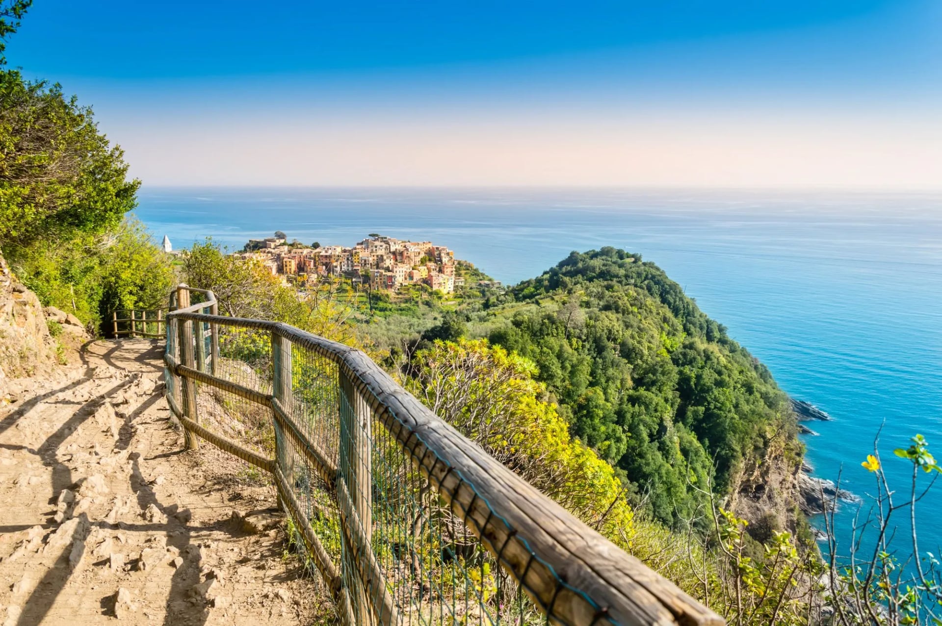
The five cliff villages of the Cinque Terre — Riomaggiore, Manarola, Corniglia, Vernazza, and Monterosso al Mare — sit on the Ligurian coast north of La Spezia, protected as a UNESCO site and national park. The signature walk is the Sentiero Azzurro (SVA), linking all five in about 12 km.
Fair warning on three counts: the SVA requires a Cinque Terre Card; the coastal sections between villages close in sections after storms and stay closed for years — the famous Via dell'Amore between Riomaggiore and Manarola only reopened in July 2024 after being shut since a 2012 landslide, and other stretches are still on the closure list — and the whole route is a moving conveyor belt of day-trippers between June and September.
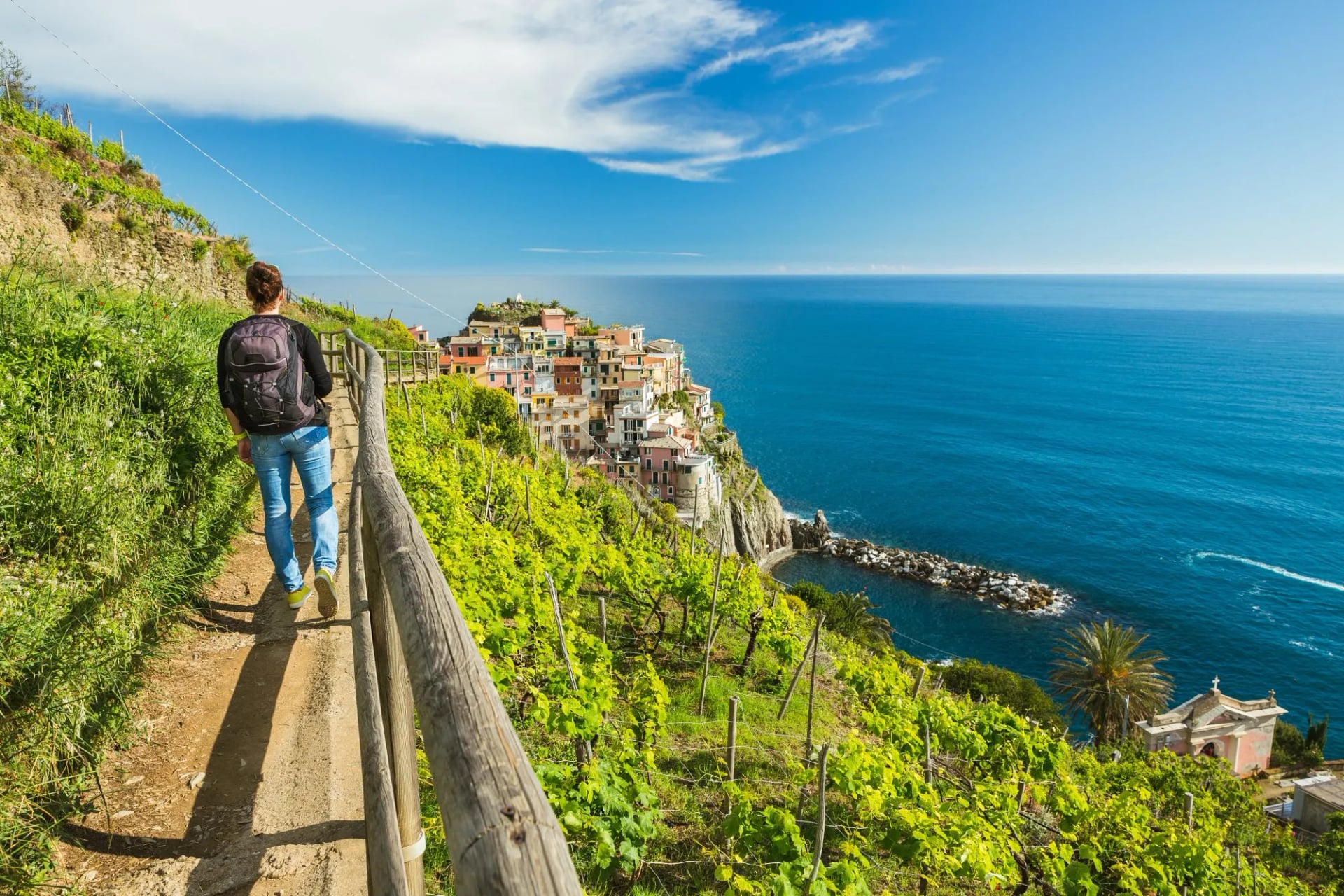
The trick to walking Liguria well is to spend nights in the villages so you're on the trails before the day-trip trains arrive, and to venture inland on the upper "sanctuary" routes above the towns, where the crowds thin to almost nothing within twenty minutes of the sea.
Tuscany
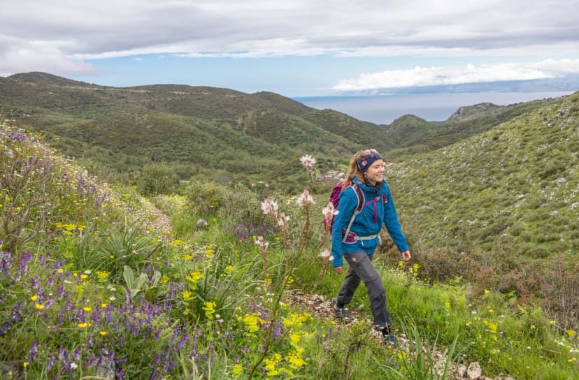
Tuscany walking is a different sport. You are not, in any meaningful sense, in the mountains — you are between them, on rolling hills of vineyard, olive grove, and cypress avenue, moving from one hilltop town to the next. Days are shorter (10–18 km), grades are gentler, and lunch matters.
The classic route runs Montepulciano to Siena through the Val d'Orcia — a UNESCO cultural landscape of Renaissance-postcard hills — with wine tastings along the way. Spring and autumn (into the vendemmia grape harvest) are the seasons this region is best seen in. Fitness demand is modest but not zero: 300–500 metres of ascent, plus the fatigue of walking three hours before an eight-course lunch.
Our Montepulciano-to-Siena walk covers the classic Val d'Orcia line with pre-booked agriturismi.
The Amalfi Coast
The Amalfi Coast south of Naples is the walking equivalent of a Michelin restaurant view: dramatic, unforgettable, and best consumed in shoulder season.
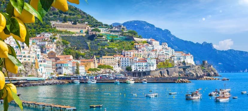
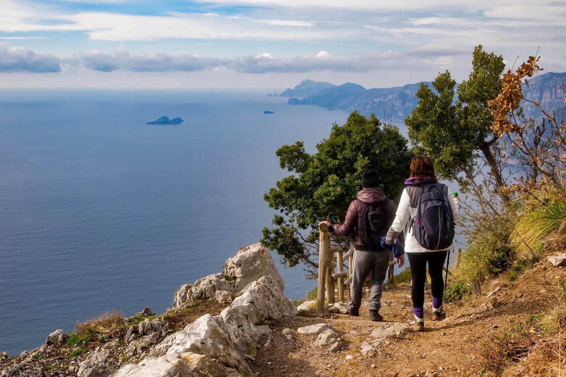
The signature route here is the Sentiero degli Dei — the Path of the Gods — an 8-km ridge trail from Bomerano to Nocelle, above Positano, with the Tyrrhenian Sea 500 meters below. The rest of the coast is a network of stone staircases connecting Amalfi, Ravello, Praiano, and dozens of villages up in the lemon groves.
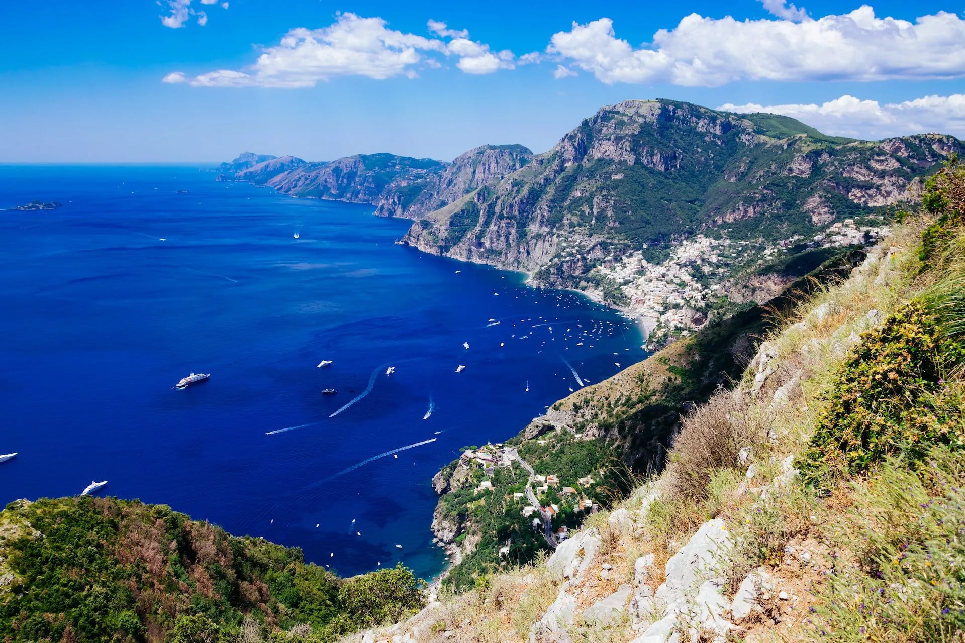
Two honest cautions. First, July and August are brutally hot on south-facing cliff paths, with temperatures routinely above 32°C and no shade — the coast is a spring and autumn destination not a peak-summer one. Second, everything on Amalfi involves stairs. Knees that don't love descent should factor this in.
Umbria, Sicily, and the Pilgrim Paths
The final Italian hiking country is a network of long-distance pilgrim routes crossing the middle and south of the peninsula. The most famous is the Via Francigena, the medieval pilgrim road from Canterbury to Rome, entering Italy at the Great St Bernard Pass and threading through Tuscany and Lazio.
The Way of Saint Francis links Assisi and Rome via the Umbrian hilltowns. In Sicily, the newly waymarked Magna Via Francigena crosses the island from Palermo to Agrigento — sun, ruins, and inland Sicily most visitors never see.
These routes reward walkers who care about history, small-town cooking, and daily rhythm more than about vertical drama. Grades are mostly moderate, hostels and ostelli are inexpensive, and the trails are open most of the year outside July–August (Sicily and Lazio) and January–February (higher stages).
Solid but Overshadowed
Not every Italian region worth walking sits in the top six. A handful more reward a second visit — routes that feel almost undiscovered by non-Italian hikers, largely because they lack the marketing weight of the Dolomites or Cinque Terre.
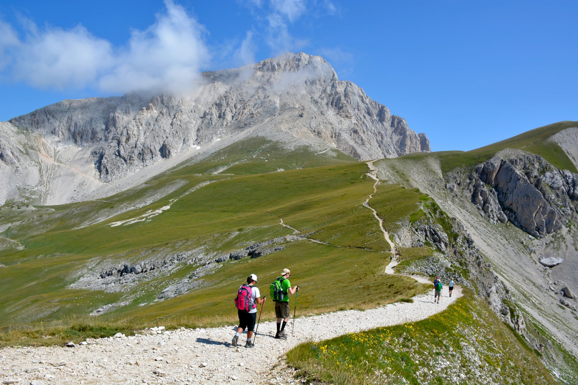
Abruzzo, east of Rome, holds Italy's finest Apennine walking in the Gran Sasso and Majella national parks. Marsican brown bears and Apennine wolves still live here. Infrastructure is decent, food is superb, prices are half of Tuscany's, and English is spottier.
Sardinia's Selvaggio Blu is a serious multi-day traverse of the wild eastern coast, with no waymarking and exposed limestone above the sea. It requires a guide or expert route-finding.
The Sibillini Mountains in Marche and the Julian Alps in Friuli-Venezia Giulia both offer real alpine walking without the Dolomite crowds — Marche for gentler grades, Friuli for sharper terrain.
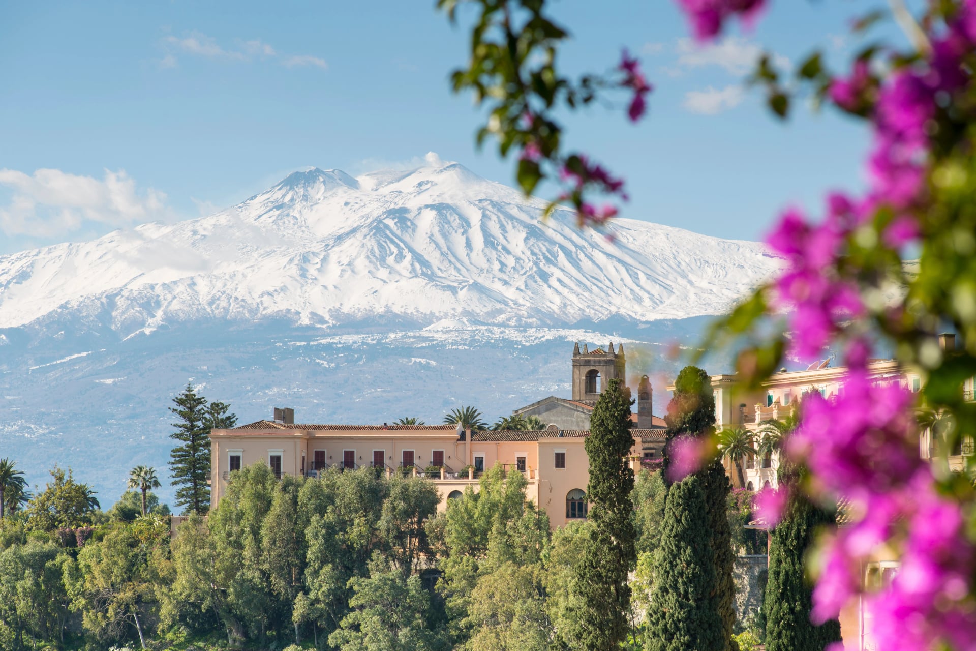
In Sicily, beyond the Magna Via Francigena, Mount Etna and the volcanic ridges of the Aeolian Islands offer walking that exists nowhere else in Europe: black lava sand underfoot, active fumaroles nearby, and the Mediterranean at every horizon.
Better Known for Other Things
Some Italian regions have very little hiking, or hiking that's genuinely secondary to their other draws. Naming them honestly saves a wasted flight.
Puglia and Basilicata in the south have some walking — the Gargano peninsula and Pollino national park are real — but waymarking, guesthouses, and English support are thin.
Molise barely appears on any hiking map.
Emilia-Romagna's Apennine foothills work for casual walkers, but the real draw is the kitchens of Bologna, Parma, and Modena.
Lombardy and Lazio outside their pilgrim and lake sections are better used as bases than as destinations in themselves.
None of this makes them less worth visiting — just the wrong starting point for a hiking week.
When to Go
Italy's hiking calendar shifts by region, so it's best to match the region to the month.
April to early June. Best for Cinque Terre, Tuscany, and the Amalfi Coast — wildflowers, mid-twenties temperatures, crowds not yet at full pitch. Too early for the Dolomites and TMB.
Late June to early September. Peak season in the Dolomites and Italian Alps: rifugios open, passes clear, huts booking months out. Also when the coasts are hottest — skip Amalfi and central Tuscany in August unless you enjoy 35°C at midday.
Mid-September to late October. Arguably the best window for the whole country. Dolomites and Alps stay hikeable through early October with fewer people; coasts and vineyards are golden-lit and quiet. Vendemmia hits Tuscany in September.
November to March. Off-season. High alps in winter mode; central-Italian pilgrim paths still walkable but with short days. Only far-south Sicily really works in winter.
How Hard It Gets
Italy's trails span the difficulty range across three variables: distance, elevation, and terrain.
The gentlest walking in the country is the flat coastal path on Cinque Terre's SVA and the paved lanes between Tuscan villages — 10 to 18 km with under 300 metres of ascent, no scrambling. This is where first-time European walkers should start.
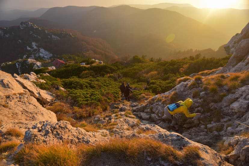
A step harder are moderate Dolomite routes: 12 to 18 km, 500 to 900 metres of ascent, well-marked paths with the odd cabled section. Alta Via 1 and the Alta Badia region fall here. You need to be comfortable on rocky terrain for six to seven hours and confident on your feet.
At the highest difficulty level sit the Alps proper — Tour du Mont Blanc and Alta Via 2 — where daily gains can hit 1,200 metres, days run eight to ten hours, and Alta Via 2 in particular has via ferrata sections requiring a helmet, harness, and cable-clipping experience. If you haven't used via ferrata gear before, book a guided variant, not a self-guided one.

Trekking poles are worth bringing for Dolomite descents, Amalfi staircases, and any Alta Via day — rent from a sportivo shop in Cortina, La Spezia, or Positano.
Our full hiking difficulty guide breaks the 1/5 to 5/5 scale down with concrete examples for both fitness and technical ratings, so you can match your fitness to a route.
The Rifugio System
The single feature that makes Italian mountain hiking better than most is the rifugio network — high-altitude huts, mostly operated by the Italian Alpine Club (CAI) or private families, that let you walk multi-day routes without a tent. In the Dolomites alone there are around 60 rifugios along the Alta Via routes.
Expect dormitory bunks with duvets, communal three-course dinners, cold-water bathrooms, paid coin-op showers if any, and slow Wi-Fi. Cost in 2026 runs €65–95 per person for half board. Bring a sleeping bag liner (huts provide the duvet, not fresh linen), earplugs, and euros in cash for extras.
Two rules catch people out:
First, book far ahead — for Alta Via routes in July and August, start in January.
Second, cancel properly if plans change; huts that get no-shows will chase you for the full charge.
Food on the Trail
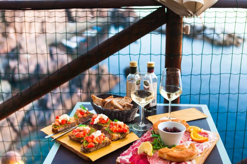
On an Italian hiking week, dinner is a regional event. Rifugio dinners come as fixed three-course half-board menus tied to the regional kitchen, not an à la carte order. Choosing where to walk in Italy means, in practice, choosing a week's worth of dinners. Four regional foods worth walking to find:
Getting Around
Italy's transport network is why hiking here is easier than most expect. The national rail operator, Trenitalia, plus the private high-speed lines (Italo), connect every major hiking gateway — Milan, Verona, Venice, La Spezia, Florence, Rome, Naples — with fast trains that take you door-to-door in a way that rental cars, in most cases, can't. The main Trenitalia timetable is in English and takes foreign cards.
Three gateway airports:
Venice (VCE) for the eastern Dolomites, onward to Cortina or Bolzano.
Milan (MXP/LIN) for the western Alps, Cinque Terre (via La Spezia), and Piemonte.
Naples (NAP) for the Amalfi Coast — an hour by ferry to Positano.

Rental cars help in Tuscany for hilltop villages off the rail lines, but every historic centre is a ZTL — a camera-enforced limited-traffic zone with fines arriving by mail months later. In the Dolomites and Cinque Terre, skip the car entirely — trains and shuttle buses cover everything you need.
The Fine Print
Italy is welcoming to walkers, but a few local rules catch first-timers out.
CAI trail marking
All waymarked paths use the Italian Alpine Club system — red and white paint blazes with a trail number inside. Learn to spot the number on your map and you won't get seriously lost. See our trail markings guide.
National park rules
Wild camping is prohibited inside Italy's national parks (Cinque Terre, Dolomiti Bellunesi, Gran Paradiso). Drones need a permit. Dogs are usually allowed on-leash but sometimes banned on the Sentiero degli Dei — check the park website first.
Cinque Terre trail card
Required for the coastal SVA, sold at village stations and trailhead machines — cheap for what it funds (storm-damage path repair).
Rifugio bookings
Book early, cancel honestly. Many rifugios now require credit-card guarantees and charge the full room rate for no-shows.
A note on mountain rescue
Italian mountain rescue is typically free in a genuine emergency — but not when the trouble comes from your feet. Authorities in the Dolomites, on the Amalfi Coast, and in Cinque Terre issue fines of up to €2,500 for hiking in unsuitable footwear (sandals, flip-flops, thin sneakers) on marked trails, and helicopter-rescue bills can run past €10,000 when the incident is judged preventable: a British hiker was fined over €14,000 in 2025 for an airlift from a closed Dolomite path. Wear proper hiking boots or trail shoes with real grip, and never step past a trail-closure sign.
Plan Your Italy Walk
The one tip that saves most first-time Italy hikers a wasted day: don't combine the mountains and the coast in a single week. Milan-to-Amalfi via the Dolomites looks fine on a map and becomes eight hours a day on trains in practice. Pick one region, go deep — come back for the next one.
We plan self-guided walking trips across every Italian hiking region above. When you book with us, we handle:
Every rifugio, hotel, or agriturismo on your route
Transfers between trailheads, airports, and stations
A digital guidebook with maps, GPS, and local insights
On-trip support by phone and WhatsApp
Prefer different routes? Browse the full Italy walking tours for more options. If you'd rather talk it through with a person, book a free call — twenty minutes with a planner who has walked the routes will save you a month of research.

About this author
Ajda is our travel advisor, raised in a village surrounded by mountain peaks. Hiking entered her life early on and remains her favorite way to reconnect with nature.














































.jpg&w=828&q=75)