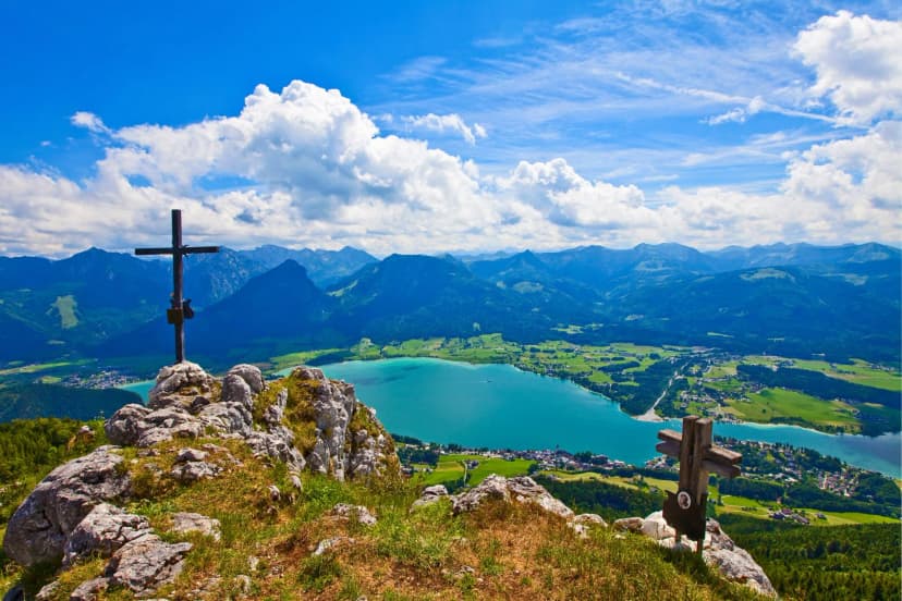
The Kerry Way Hike: Around Ireland's Longest Trail
The longest of Ireland's National Waymarked Trails runs 232 km around the Iveragh Peninsula. Nine stages with distance and walking time, plus season and safety.

Jon
Published September 17, 2026
Edited September 21, 2026
16 min read
Quick links
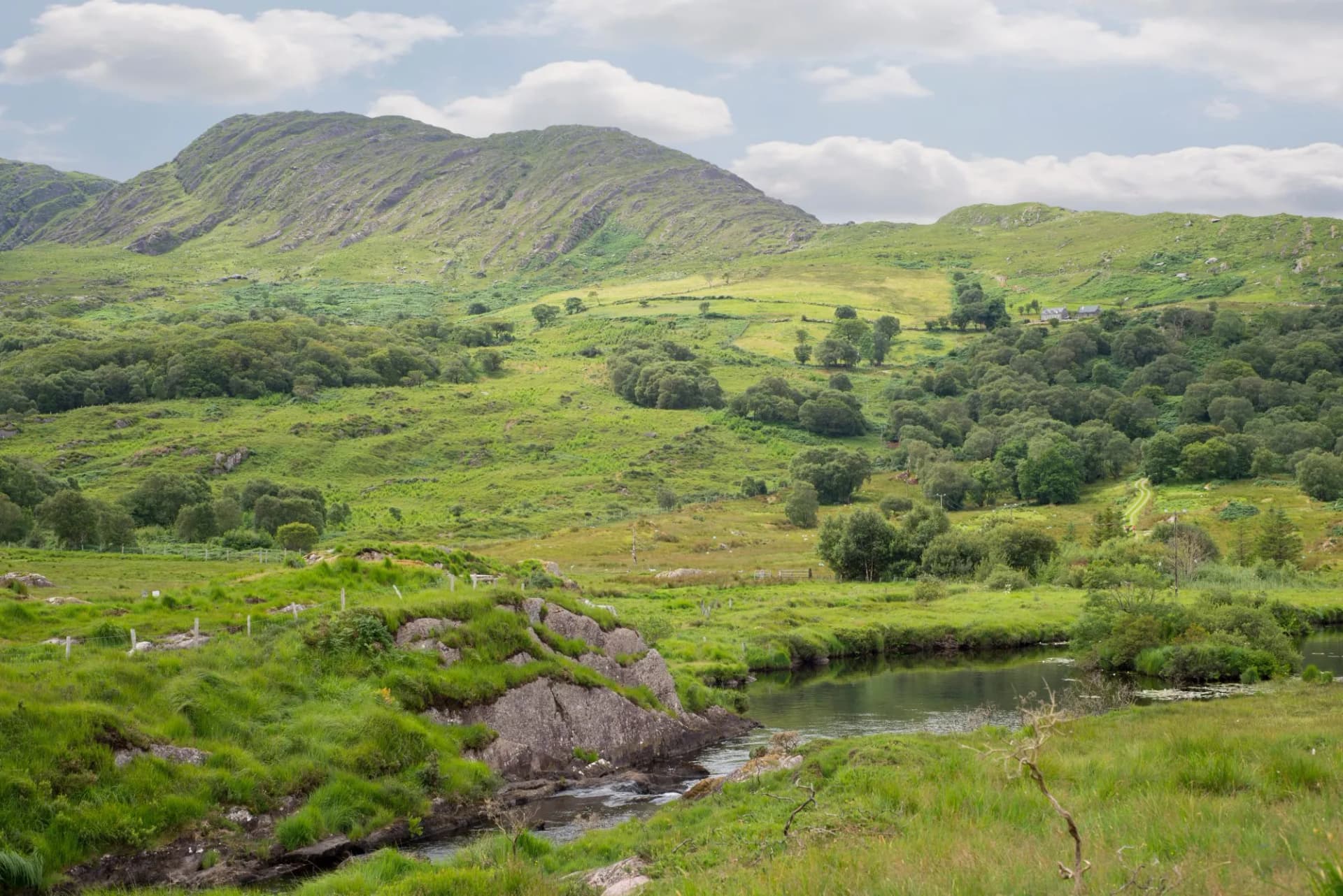
Few trails in Ireland change scenery as often as the Kerry Way. One loop takes you through lakeside woodland, a remote mountain valley beneath the country's highest peak, a stretch of Atlantic coast with the Skellig Islands out on the horizon, and small towns built around painted shopfronts rather than car parks. Walk far enough into it and the crowds thin out almost completely, something the road a few hundred metres below can never quite manage.
The Ring of Kerry is a road built for cars and coaches to circle the Iveragh Peninsula in a single day. Walk the same peninsula instead and it becomes an entirely different trip: slower, quieter, and shaped by weather and distance rather than a fixed itinerary. The Kerry Way covers that peninsula on foot at 232 kilometres, which makes it the longest of Ireland's National Waymarked Trails.
There is no scrambling anywhere on the route and no technical climbing. What it asks for instead is stamina over a long distance, sound navigation on the open ridges, and enough respect for Atlantic weather to know when to sit a bad day out.
This guide covers the route stage by stage, the terrain and waymarking, safety, and what to sort out before you book flights. If you are weighing the Kerry Way against Ireland's other long-distance trails, our guide to hiking in Ireland sets it alongside the Wicklow Way, the Dingle Way and the Beara Way. Our Ireland destination page covers the rest of what we run there.
If you have already walked the Wicklow Way, the Kerry Way is a different trip entirely: wetter underfoot, wilder in the middle stages, and built around a coastline rather than a mountain range.
Kerry Way Stages
Sport Ireland, which administers the National Waymarked Trails, lists the Kerry Way at 232.1 kilometres with 5,310 metres of climbing and grades it strenuous. Most stage descriptions, including the nine below, come out closer to 205 kilometres, and the gap is not a contradiction: Sport Ireland's figure counts the 11 kilometre spur into Cahersiveen and the longer of the two route splits at Waterville. Add both to the nine stages and you land back at 232.
The route is a loop from Killarney and is usually walked anti-clockwise, which is how it is signed. Nine stages is the standard division and most walkers spread them over nine to twelve days. The highest point is only 385 metres, so despite the distance this is not high mountain trekking, and a little over a third of the route runs on quiet tarmac lanes rather than open trail.
Our own Kerry Way Highlights tour walks stages four to seven, the southern coastal arc from Glenbeigh to Sneem, which is the best-loved stretch of the circuit and takes under a week rather than the full loop.
1. Killarney to Black Valley
Distance: 22 km
Walking time: 5 hours
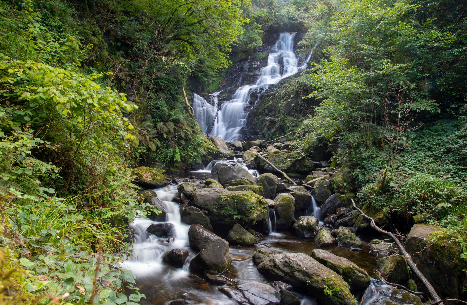
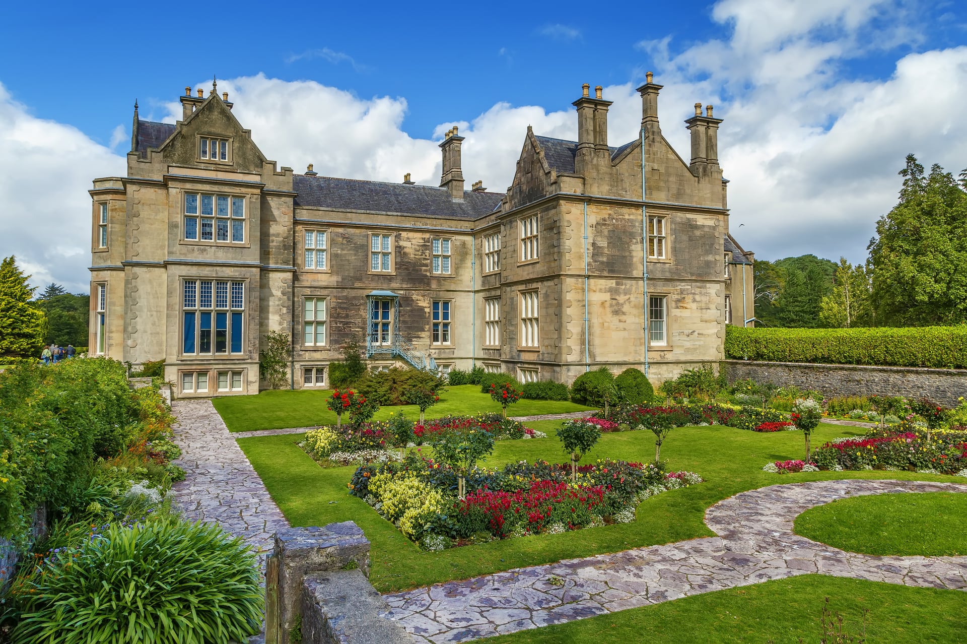
The trail leaves Killarney through Killarney National Park, passing Muckross House and the shores of Lough Leane before reaching Torc Waterfall, a stretch shared with the tour buses and day-trippers who go no further. Beyond it the old Kenmare road climbs away and the crowds stop almost at once.
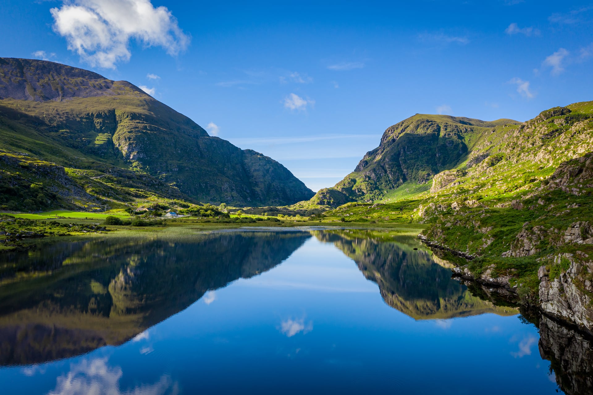
The stage finishes in the Black Valley, a sparsely populated glen tucked behind Moll's Gap that was one of the last places in mainland Ireland connected to the electricity network, in 1976. There is a hostel and a scatter of houses and no shop at all, which makes it the one stage to arrive at with food already in the pack.
2. Black Valley to Glencar
Distance: 23 km
Walking time: 6 to 7 hours
The valley sits directly beneath MacGillycuddy's Reeks, and Carrauntoohil, at 1,038.6 metres Ireland's highest peak, is visible from the trail without the route ever climbing it. Walkers who want the summit have to leave the Kerry Way for a separate detour and come back to it.
Beyond the Black Valley the trail crosses Cummeenduff Glen and the Lack Road into open, boggy country around Lough Acoose before dropping to the village of Glencar. Sources disagree about where the route's 385 metre high point actually falls, some putting it here on the Lack Road and others at Windy Gap further round, so treat the figure as the ceiling rather than a landmark.
3. Glencar to Glenbeigh
Distance: 18 km
Walking time: 4 hours
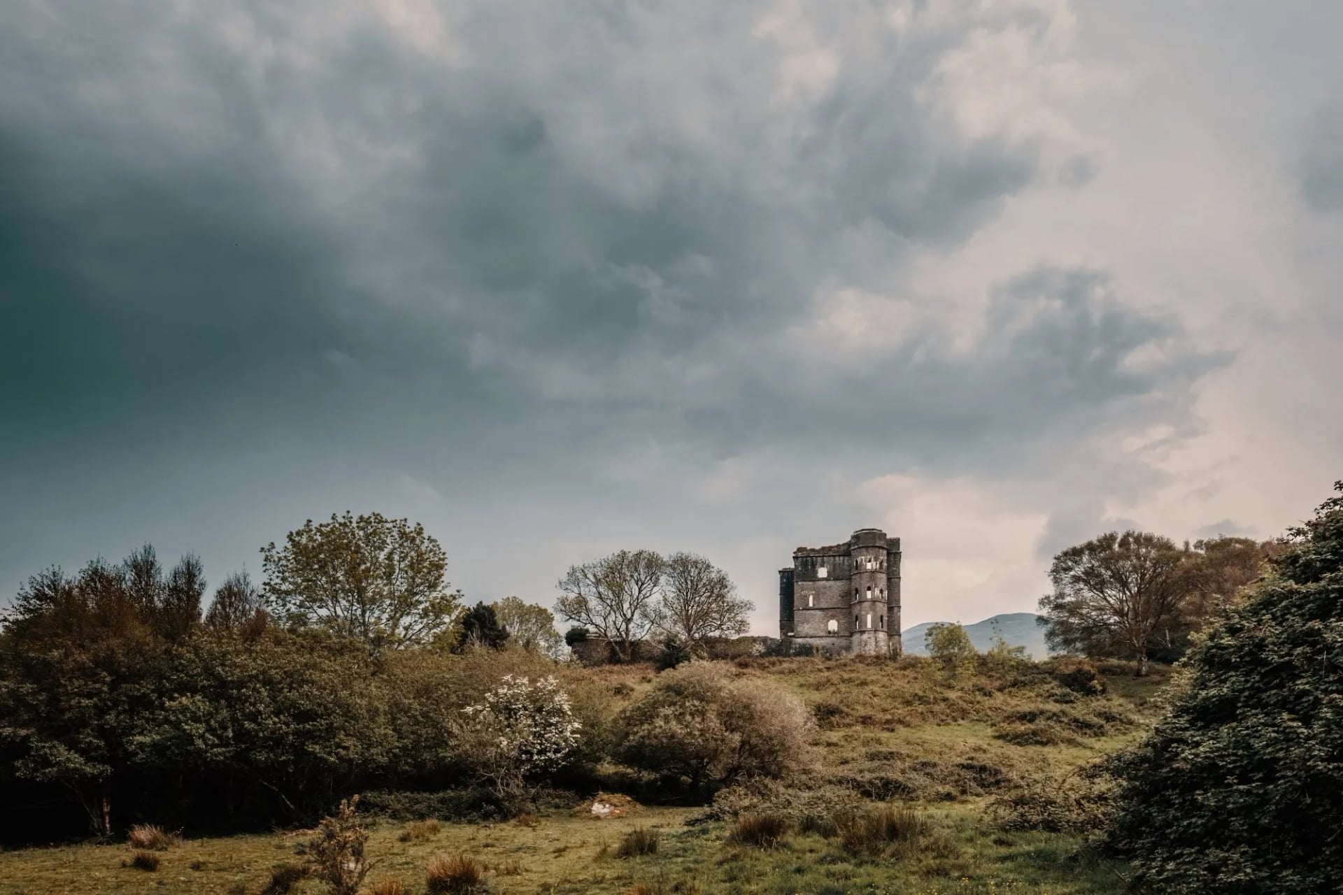
A short stage after two long ones. The trail follows the Caragh River and circles Seefin Mountain, with a choice between a shorter line over Windy Gap or a longer one above Lough Caragh with views out over Dingle Bay.
Glenbeigh at the end is where our own tour starts walking, and it is the point at which the Kerry Way stops being a mountain trail and becomes a coastal one.
4. Glenbeigh to Cahersiveen
Distance: 28 km
Walking time: 5 to 7 hours
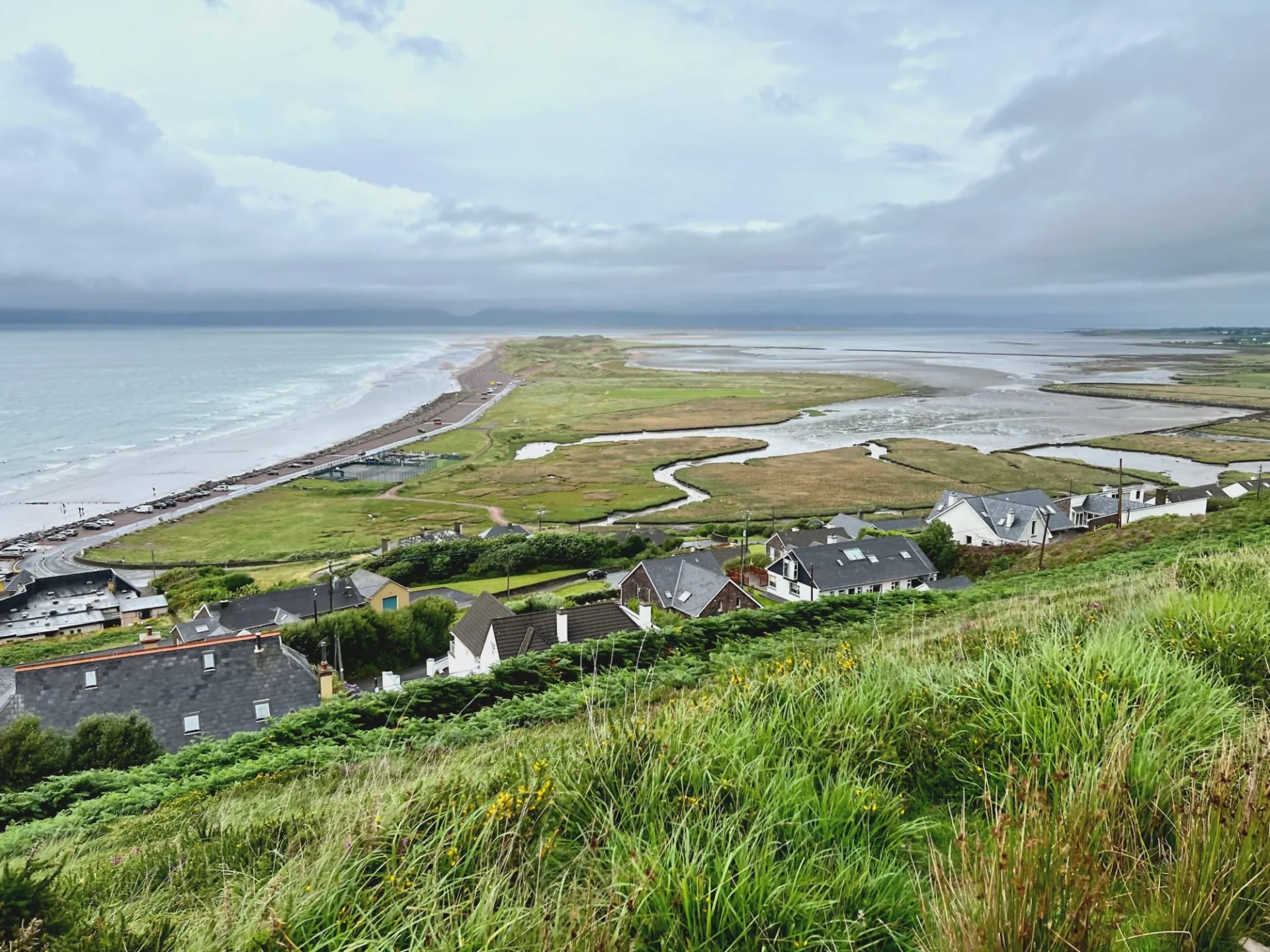
This is widely reckoned the toughest single day on the route: long, exposed, and boggy underfoot in a way no amount of forward planning avoids. The trail climbs above Rossbeigh onto the moorland flank of Drung Hill with long views north over Dingle Bay, then turns inland across valley farms and quiet lanes.
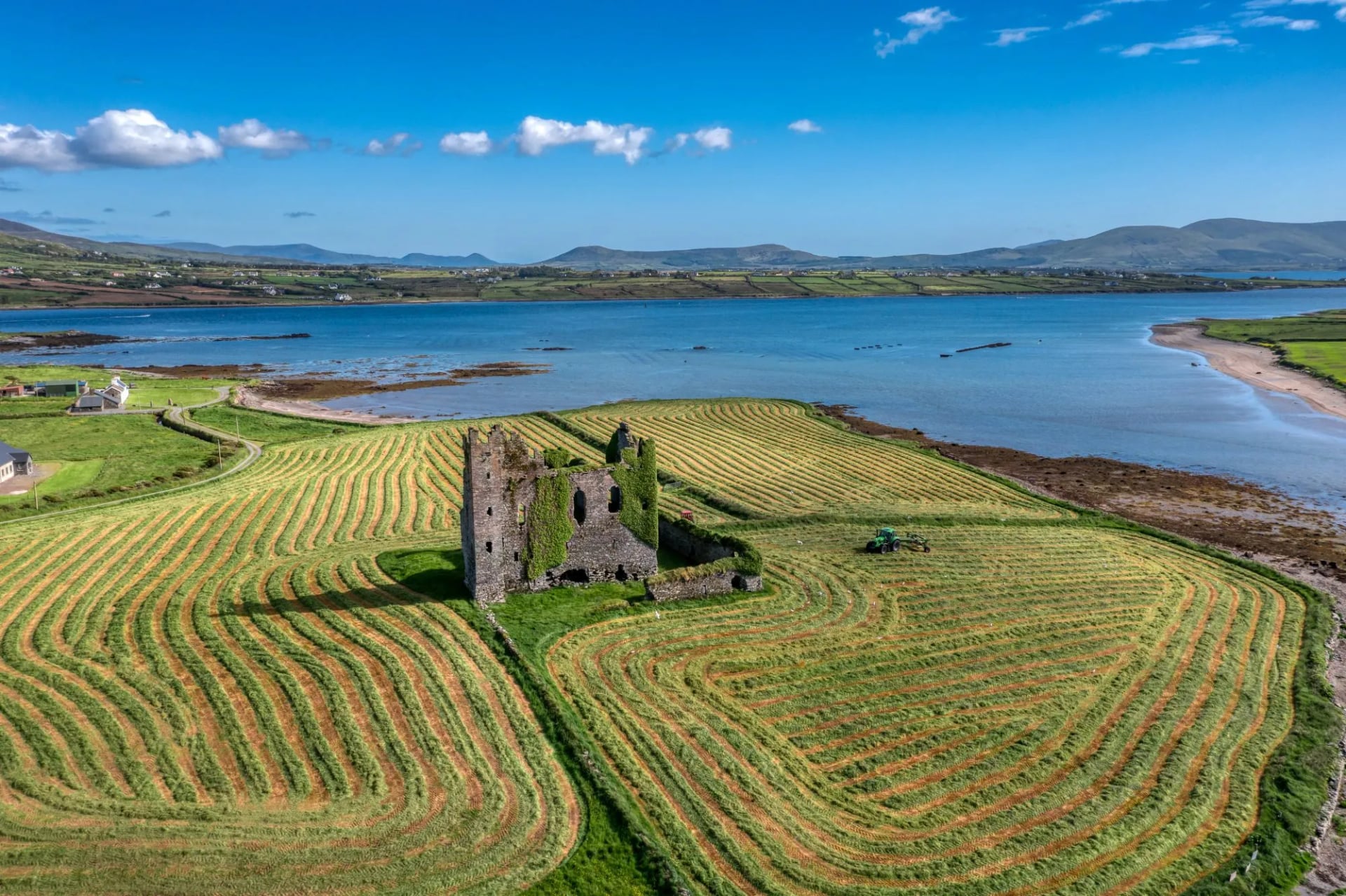
An 11 kilometre spur runs from Foilmore into Cahersiveen, the main market town of the peninsula, and plenty of walkers take a taxi rather than add it to an already long day. It is the single biggest reason published distances for the trail disagree with each other.
5. Cahersiveen to Waterville
Distance: 29 km
Walking time: 5 to 7 hours
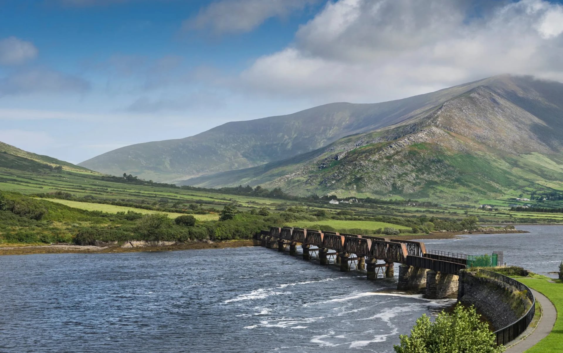
The longest stage of the nine. The route climbs steeply out of Cahersiveen over the Beentee ridge onto open upland with views in both directions, then drops gradually toward the coast and follows the shore of Ballinskelligs Bay into Waterville.
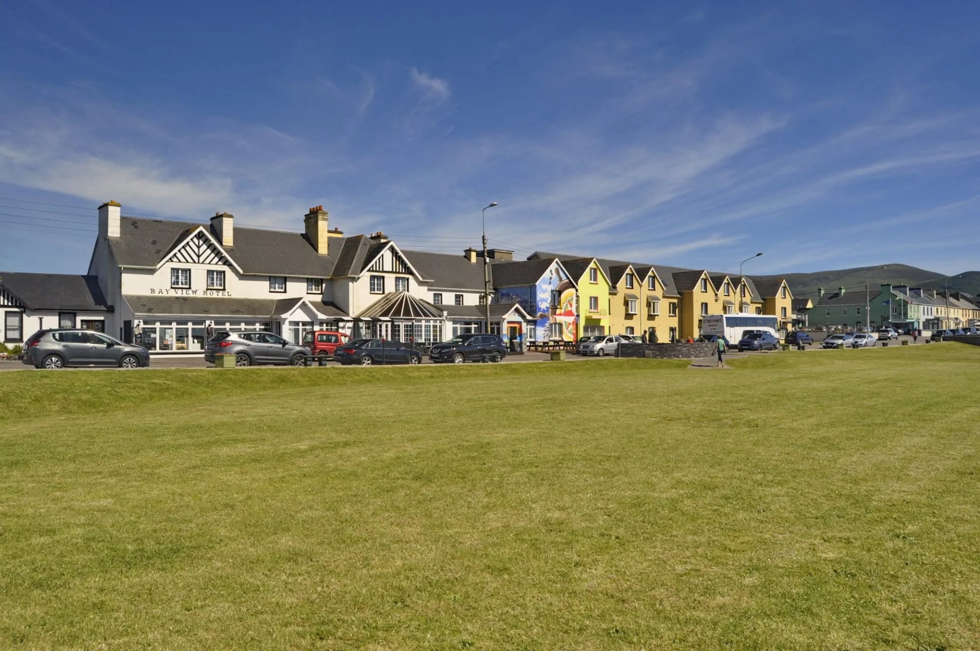
Waterville is a quiet seaside village with a long association with Charlie Chaplin, who holidayed there for years and has a statue on the front. After two of the hardest days on the trail it is a good place to lose an evening.
6. Waterville to Caherdaniel
Distance: 13 km on the coastal route
Walking time: 2 to 3 hours
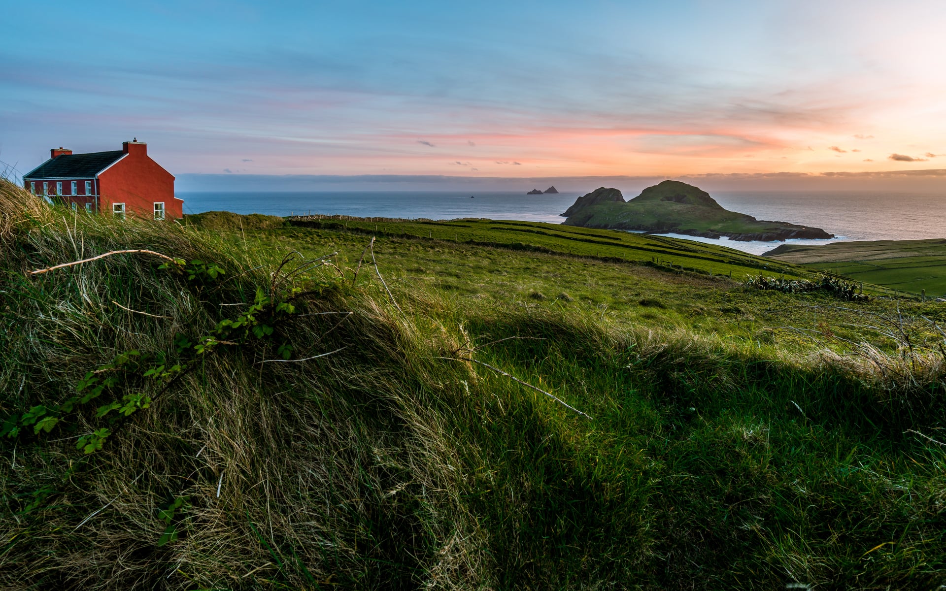
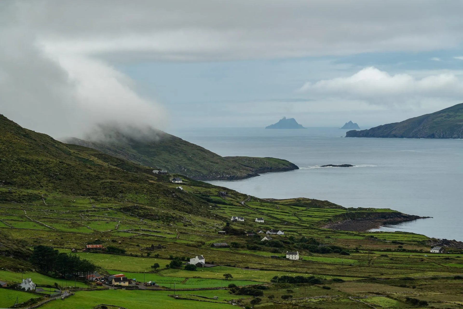
Two route options run from Waterville to Caherdaniel. The coastal path around Farraniargh Mountain is the short one, with the Skellig Islands visible offshore on a clear day, and it is the line our own tour walks. The inland alternative crosses Windy Gap and runs to 29 kilometres, more than double.
Skellig Michael, the larger of the two islands, carries a sixth century monastery built on a sea stack twelve kilometres out, and is a UNESCO World Heritage Site. You will not land on it from the trail, but on a clear evening it is the thing everyone stops for.
7. Caherdaniel to Sneem
Distance: 18 km
Walking time: 4 hours
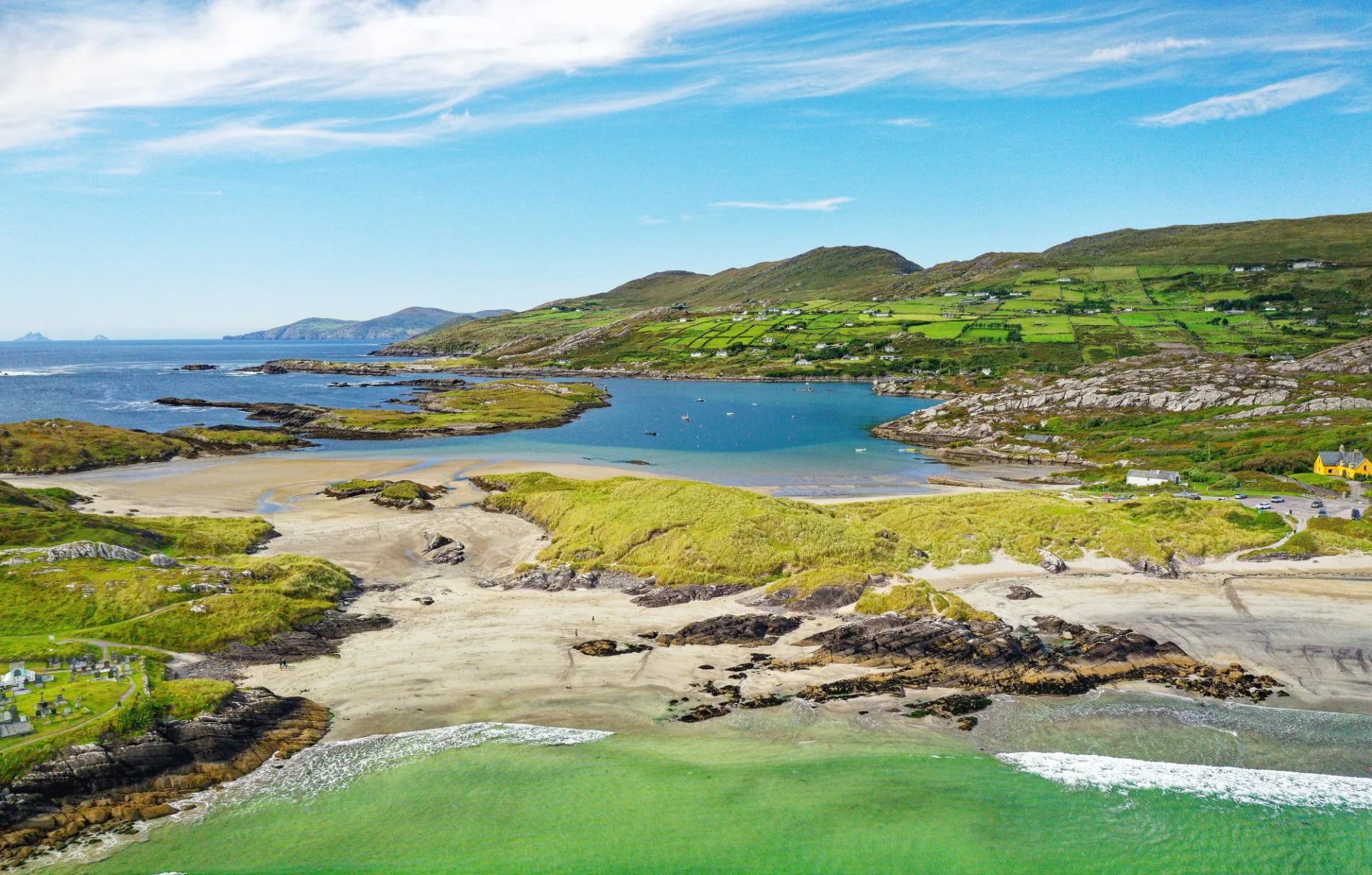
A gentler stage along the southern edge of the peninsula, and the last walking day on our own itinerary. Derrynane sits just off the route at the start, with one of the better beaches in Kerry and the house that gives it its name.
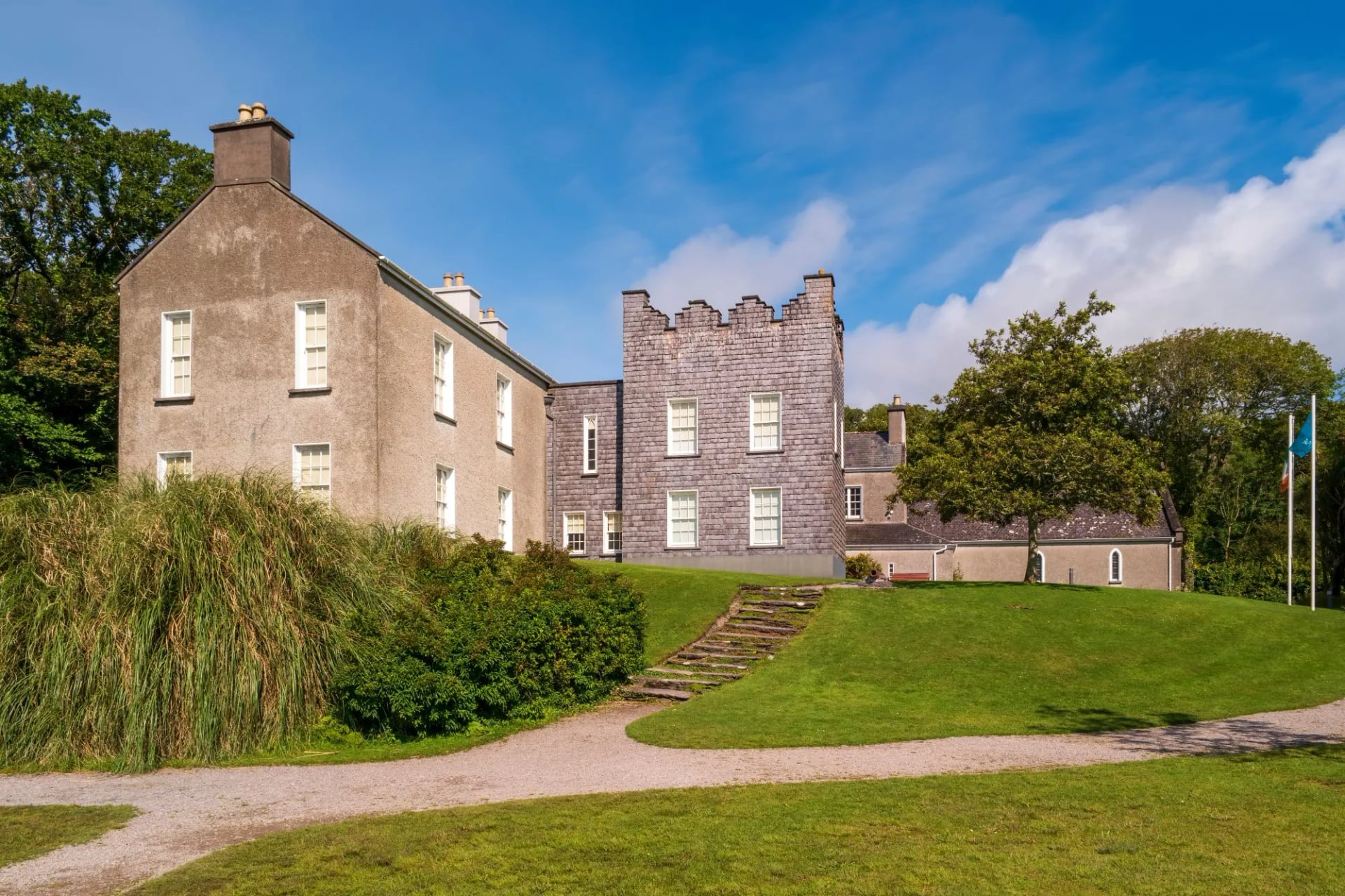
The trail then works inland and east through low hills and farmland to Sneem, a village arranged around two greens on either side of its river.
8. Sneem to Kenmare
Distance: 30 km
Walking time: 5 to 7 hours
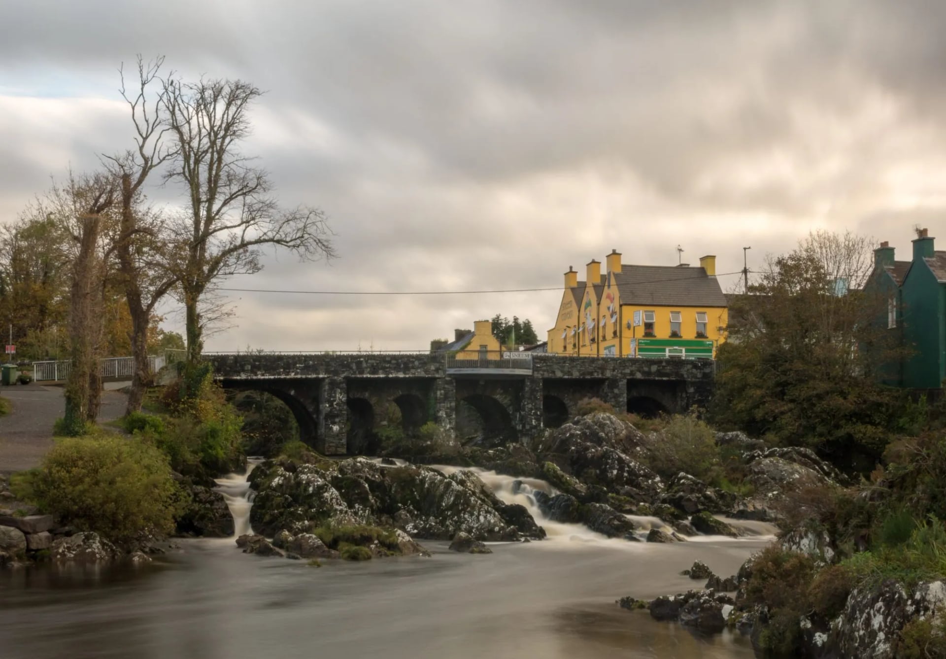
The longest stage on the whole trail and one most walkers split. It covers mixed ground with extended bog sections and relatively little shelter, and it is a long way between places to stop.
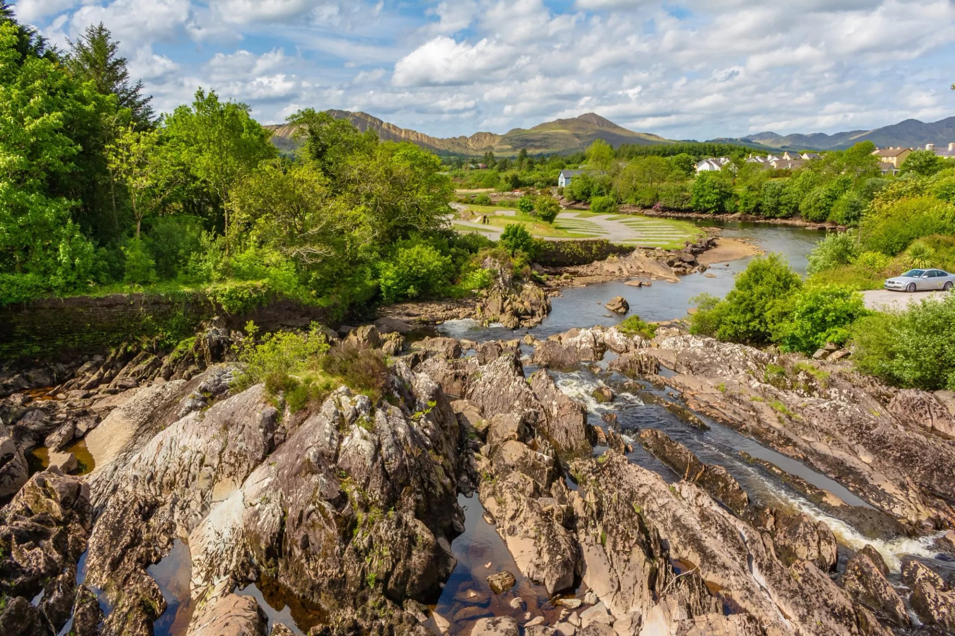
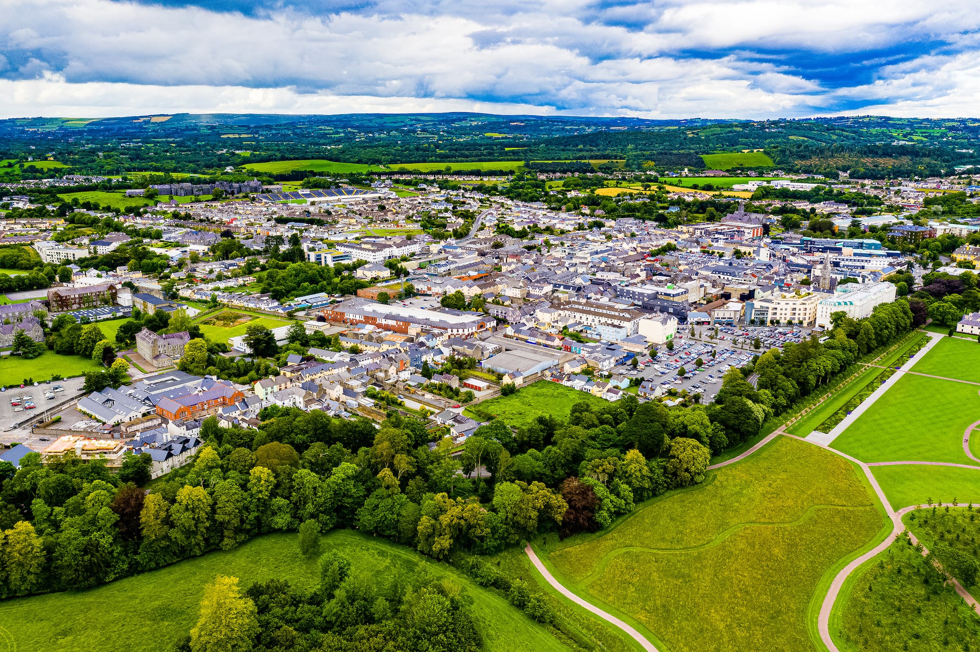
Kenmare at the far end is the largest town on the route after Killarney, with the fullest choice of beds and the last reliable resupply before the final crossing.
9. Kenmare to Killarney
Distance: 24 km
Walking time: 4 to 6 hours
The final stage climbs back over the mountains between Kenmare and Killarney on the Old Kenmare Road, a historic high-level route with long views back across the peninsula you have just walked round.
It rejoins the outbound route near Galway's Bridge and retraces it through the national park to the finish, which means the last hour of the walk is the same ground as the first.
Kerry Way Terrain and Waymarks
The ground changes constantly. There are stretches of firm tarmac boreen, old coach roads gone soft with grass, forestry track, and open mountain moorland that turns to bog after rain, which in this part of Kerry is often.
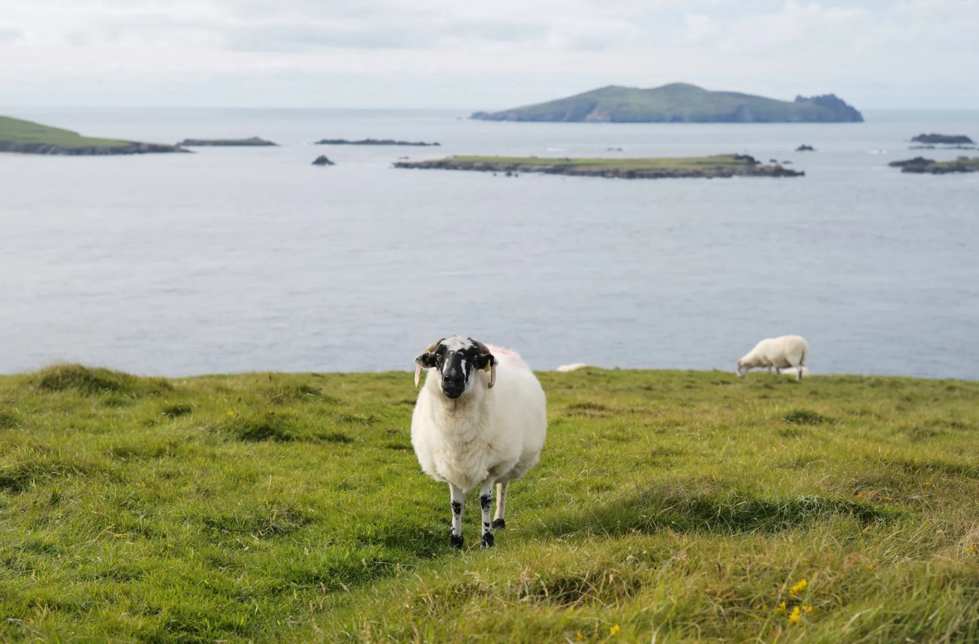
Walkers who have done the whole route consistently mention wet feet as the one thing they could not plan their way out of, whatever boots they wore. Bring gear you are prepared to get properly muddy, and do not expect a dry crossing of the higher sections even in a good summer.
Waymarking follows the system used across Ireland's National Waymarked Trails, a yellow walking figure and arrow on a black background, mounted on posts and on fingerposts through villages. It is well maintained, but low cloud on the exposed ridges can make the next post hard to pick out, and this is where carrying a map matters more than the trail's moderate reputation suggests.
It is worth being clear about something a lot of people get confused about: the Kerry Way is not the Ring of Kerry. The Ring is the road the coaches and rental cars use to circle the peninsula. The Kerry Way is the walking route that climbs above it, and while the two occasionally run close together, most of the trail sits well away from the road on higher ground.
The trail is a patchwork of Killarney National Park, Coillte forestry and private farmland, and on the private stretches it exists only because generations of Kerry farmers have agreed to let walkers cross their land. Stay on the marked path, close any gate you find shut, and leave the tent at home. Dogs are banned from the trail outright, which is stricter than most Irish trails.
Safety on the Kerry Way
Weather is the main risk here and it changes fast. A clear morning can turn to low cloud on the high ground by afternoon, and the coastal stretch between Waterville and Caherdaniel gets hit by sudden Atlantic squalls as often as the mountains further north.
Kerry Mountain Rescue, the volunteer team covering the county, puts it plainly: never head into the hills alone, be off the high ground before dark, and check the forecast properly rather than trusting a clear morning to hold. Met Éireann publishes a mountain forecast separately from the general one.
If you need help, dial 112 or 999. One specific hazard is worth planning around: the ground between Derrycunnihy Church and Lord Brandon's Cottage, near the start of the route, floods after heavy rain, so ask locally before walking that section if the weather has been wet.
Ticks favour low, overgrown ground, bracken and the hedgerows along the boreens rather than the open mountain, so the risk is often greatest on the easiest-looking stretch of the day. Tuck trousers into socks through overgrown ground, check yourself over in the evening, and lift any tick straight out with fine-tipped tweezers rather than twisting it. A spreading rash or fever in the days after a bite is worth a GP visit.
Best Time to Hike the Kerry Way
May to September is the reliable window, and it is when our own tour runs. Outside it, daylight shortens fast, beds along the quieter stretches close for the season, and the exposed coastal and mountain sections take the worst of the weather.
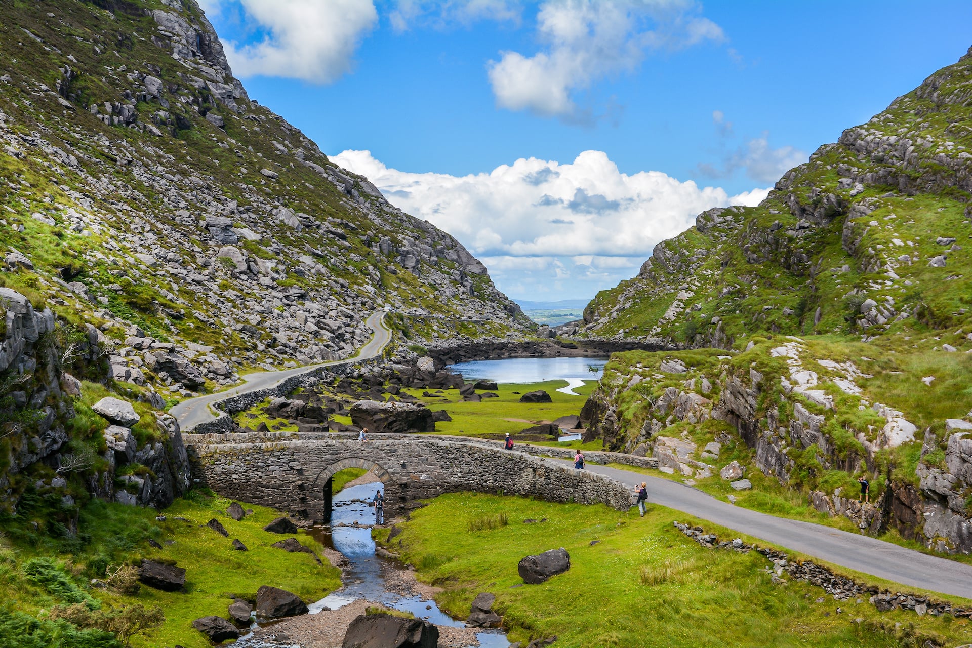
May and September usually offer the best balance of settled ground and fewer people, while June and July bring the longest evenings and the thickest midges on a calm night. Midges appear from around May to September, worst on a still, humid evening near water, and they vanish the moment a breeze picks up, so an exposed clifftop can be more comfortable than a sheltered valley at dusk.
Kerry sits at the wet end of an already wet country, first in line for whatever the Atlantic sends in, so rain is never off the table whichever month you pick. There is no reliably dry month to build a trip around here, and checking the forecast a few days out beats picking a date on a calendar.
Beds, Cash, Water and Signal
You will be staying in B&Bs, guesthouses and small hotels rather than anything resembling a mountain hut, and hosts along the route are well used to walkers turning up at odd hours with wet boots. The real gap is the Black Valley, where there is a hostel and a scatter of houses and nothing to buy for miles, so ask your bed the evening before for a packed lunch rather than hoping something turns up.
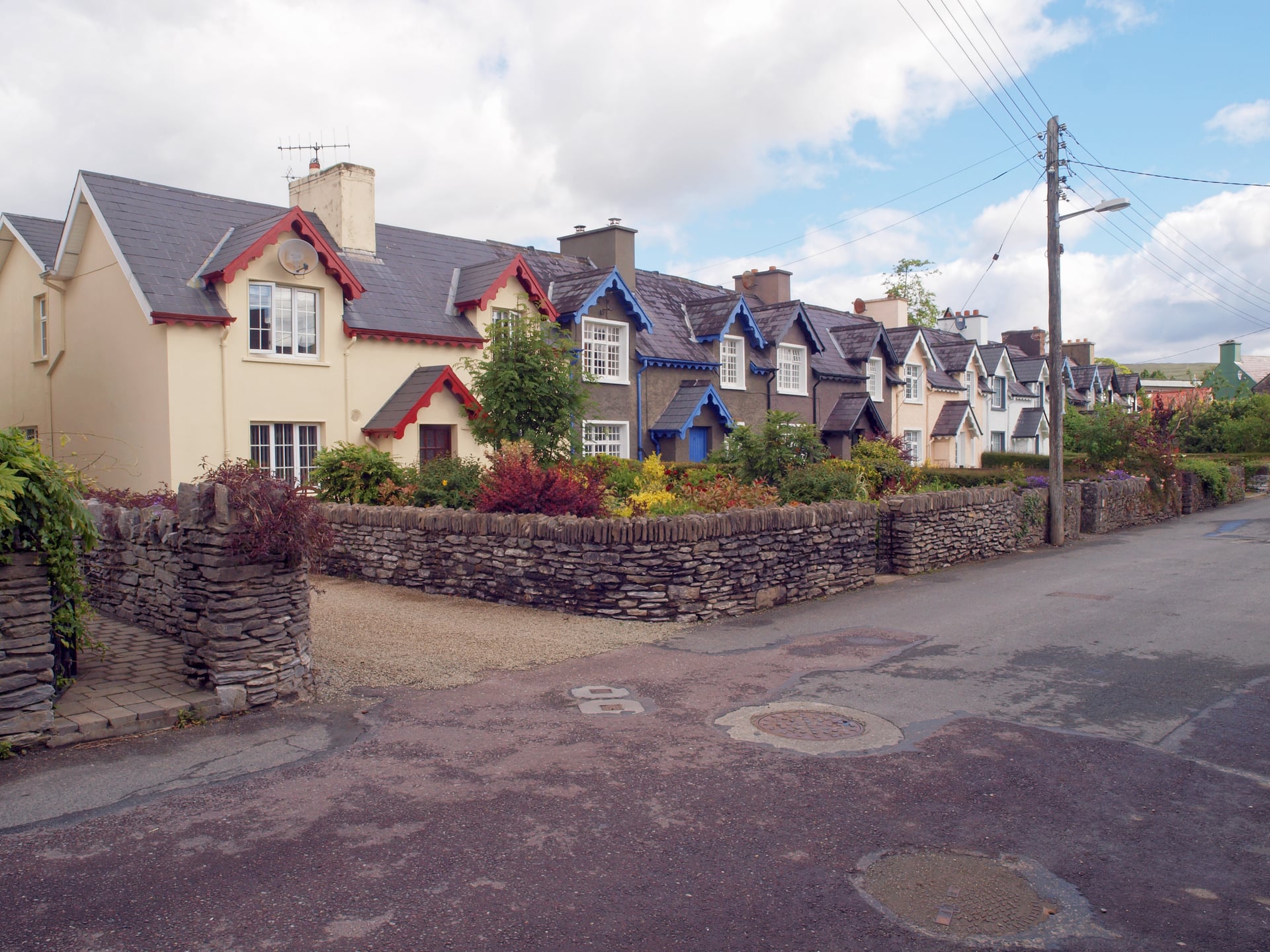
Card machines work fine in the towns but can be unreliable at smaller places through the quieter middle stretch, so carry some cash. Tap water is safe everywhere on the route, though anything drawn from a mountain stream should be treated first, since sheep graze most of the high ground the trail crosses.
Phone signal is solid in Killarney, Sneem and Kenmare and thins to nothing across the Black Valley and the climb to Drung Hill, so download the route before you lose signal rather than relying on a live connection at the point you need it. Book ahead through the summer, particularly around the Black Valley where there are only a handful of beds.
What to Pack for the Kerry Way
The one piece of gear worth not skimping on is a properly waterproof shell with taped seams. A topped-up water-repellent coating will keep you drier through a wet week than a higher number on the label ever will, because once that coating wears off the fabric soaks through long before the membrane underneath fails.
Footwear needs more thought than usual. On the boggiest stretches the ground goes in well over the top of most waterproof boots, so plenty of experienced Kerry Way walkers wear breathable trail runners instead and simply accept wet feet, on the logic that trail runners dry overnight far faster than a soaked leather boot. If you do wear boots, gaiters help keep bog out of the tops, and either way pack a dry pair of socks for the evening.
Beyond that the list is short. A paper map and compass for the exposed ridges, the route downloaded offline, a head net and repellent between May and September, and enough food for the day on the stages where there is nothing to buy.
Self-Guided or Independent
Walking the Kerry Way alone is entirely realistic. The waymarking is good, the trail meets a road often enough that bailing out is rarely difficult, and the accommodation network along the route is established. What takes the time is the booking: beds sit off the trail, options thin out badly around the Black Valley, and Killarney, Sneem and Kenmare fill through the summer.
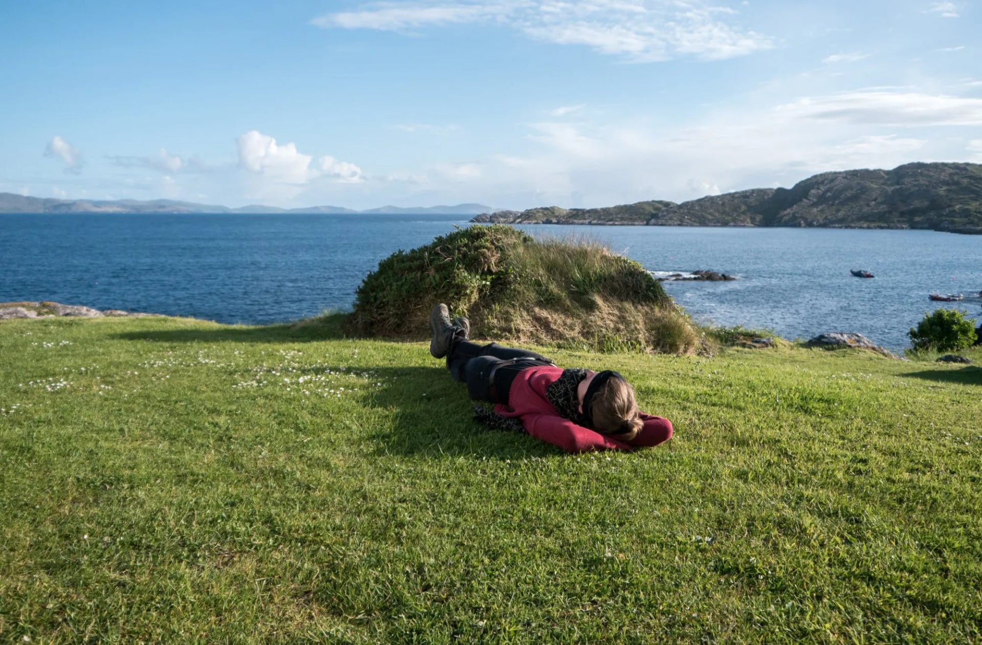
A self-guided trip hands that part over while leaving you walking on your own. Our Kerry Way Highlights trip covers stages four to seven over six days, with five nights of accommodation and breakfast, a digital guidebook with route instructions, GPS navigation, luggage moved between stops, and support on the phone if something goes wrong. Tourist tax is the only thing not covered.
There is no guided version of this route on our books. For a trail this well marked, what a supported itinerary buys you is the logistics rather than a leader.
Getting to Killarney
Kerry Airport at Farranfore is the closest, with a short train ride or taxi into Killarney. Dublin Airport is the main international gateway if you are flying from further afield, with onward travel by train from Dublin's Heuston Station, changing at Mallow, in around three hours. Bus Éireann also runs Dublin to Killarney if you would rather not deal with the change.
Because the Kerry Way is a loop, getting home is the same problem as getting there, which is one of its quiet advantages over a point-to-point trail: you finish where your bag and your train are. If you are walking only the southern arc, as our own trip does, Killarney is still the arrival and departure point and the transfers at either end are short.
Frequently Asked Questions
Is the Kerry Way Worth It?
Most visitors to this corner of Ireland get the version from a car seat: the Ring of Kerry, done in an afternoon, mountains and coastline going past the window in the right order but never quite arriving.
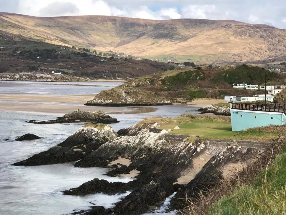
The Kerry Way is what is left once you get out and walk it instead: nine days rather than one, wet boots, and Carrauntoohil close enough beside you in the Black Valley to feel like more than a viewpoint stop on someone else's schedule. It is not a trail that rewards rushing.
If you would like help putting a Kerry Way trip together, from accommodation to daily route notes, get in touch and we can talk through what that looks like with us.

About this author
Jon is our travel advisor and an outdoor adventurer who is happiest on the move. While mountain biking is his personal passion, he thrives on crafting hiking adventures for others — planning routes and adding the little touches that turn a trip into a core memory.









































.jpg&w=828&q=75)