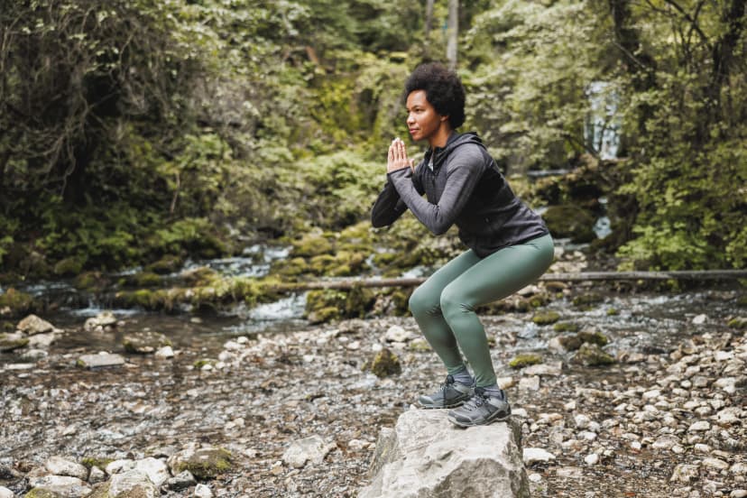
The Wicklow Way: 128 km from Dublin's Edge
The Republic of Ireland's first waymarked trail, 128 km from the edge of Dublin to Clonegal. The Wicklow Way stage by stage, with terrain, season and safety.

Jon
Published September 16, 2026
Edited October 12, 2026
16 min read
Quick links
Don't want to read all this?
We've planned 2,000+ hiking trips. Send your dates, fitness and group size — we'll map the route and book every night.



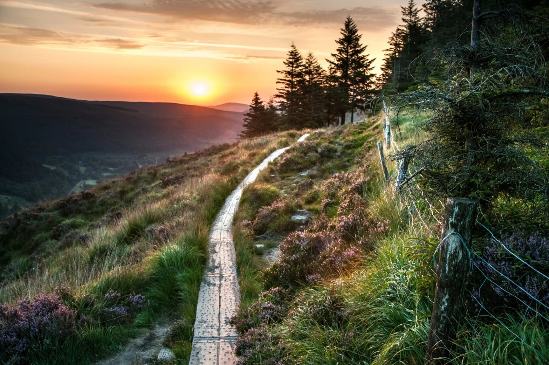
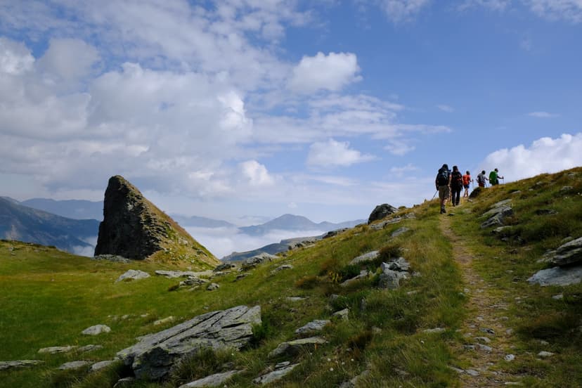
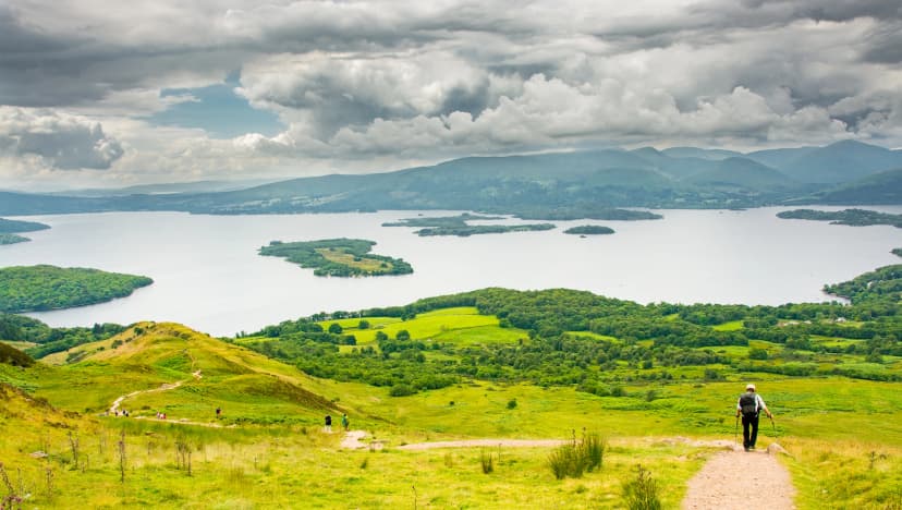
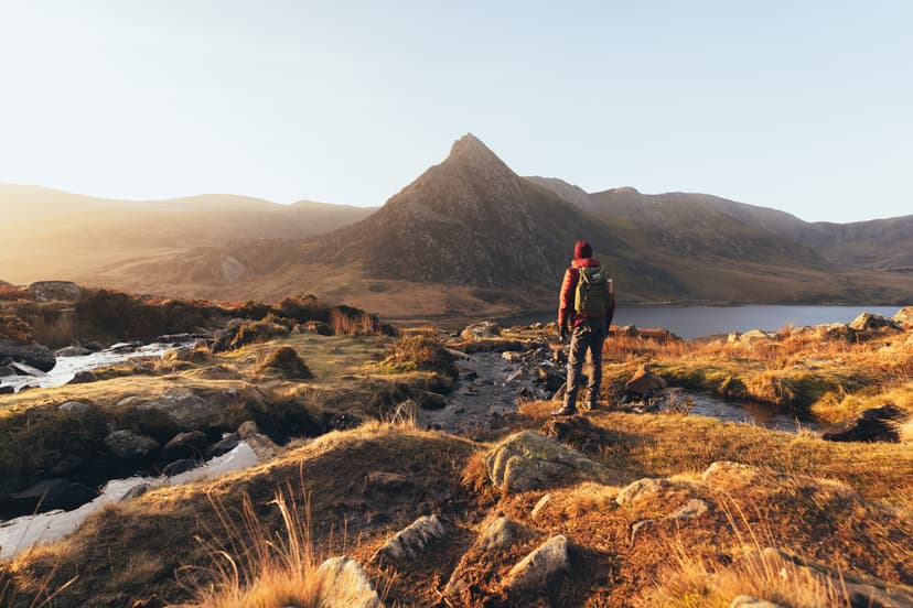
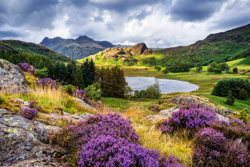
Leave Dublin on a city bus, and before long there is open moorland with no building in sight. That is the strange trick of the Wicklow Way: it starts in the southern suburbs of the capital and quickly puts a granite mountain range between you and the city.
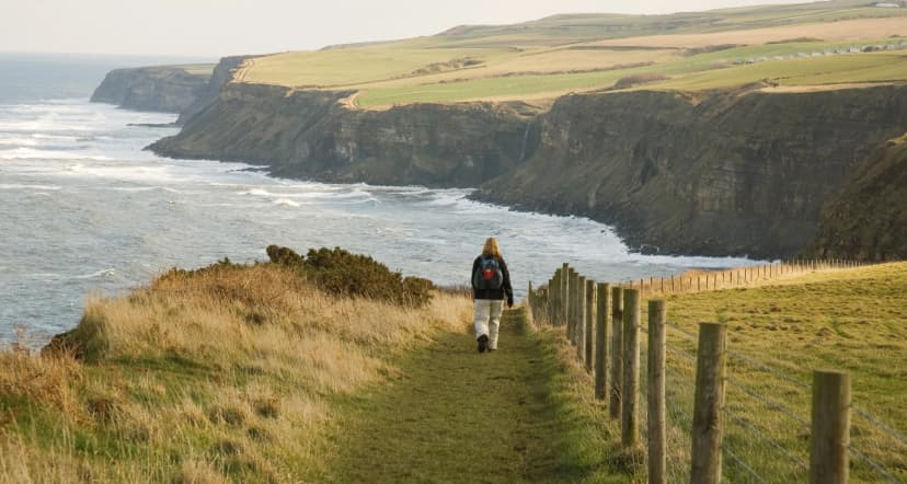
This is the first waymarked trail in the Republic of Ireland, a 128km route through the Wicklow Mountains from the edge of Dublin to the quiet village of Clonegal on the Carlow and Wexford border. It crosses monastic ruins, glacial valleys, blanket bog and working forestry land, mostly on foot-friendly track rather than exposed alpine ridge.
This guide covers the route stage by stage, what the ground is actually like underfoot, what can go wrong and how to avoid it, and everything else you need to plan the walk properly. If you are comparing it against Ireland's other long-distance trails, our guide to hiking in Ireland sets the Wicklow Way alongside the Kerry Way, the Dingle Way and the Beara Way. Our Ireland destination page covers the rest of what we run there.
Wicklow Way Stages
The Wicklow Way was proposed in 1966 by the Dublin hillwalker J.B. Malone, who spent over a decade negotiating access with landowners before a single waymark went up. The first section, from Marlay Park to Luggala, opened on 15 August 1980, and the route was extended south to Clonegal by 1982. That made it the first waymarked trail in the Republic of Ireland, though not on the island: the Ulster Way had opened in Northern Ireland in the 1970s.
Sport Ireland, which administers the National Waymarked Trails, lists the route at 128.1 kilometres and grades it strenuous. The trail's own seven-section description runs to 127 kilometres with around 3,200 metres of climbing, and a GPS track will often read closer to 131. The stages below follow that seven-section division, which is why their distances add to 127 rather than 128.
Sport Ireland compresses the walk into six days. The trail's own division is the seven stages below, and most people land somewhere between the two, adding a day at Glendalough, which nobody regrets lingering in.
The trail authority and most guidebooks describe the route in its traditional direction, north to south, and the stages below are numbered that way. Many walkers reverse it. The reasoning is practical: walking south to north keeps the prevailing south-westerly wind and rain mostly at your back on the exposed sections rather than in your face, and it leaves the mountain stages until your legs are warmed up. Our own Wicklow Way tour follows this south-to-north route over ten days.
Stage 1: Marlay Park to Knockree
Distance: 22 km
Ascent: 500 m
Walking time: 7 hours
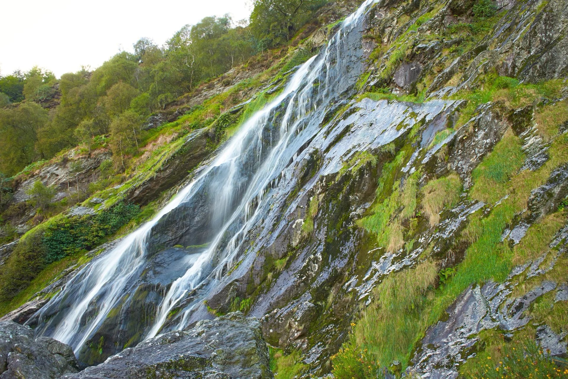
The trail leaves Marlay Park on the edge of Rathfarnham, where a Dublin city bus will drop you, and climbs almost at once through Tibradden and Cruagh forests. Forestry track gives way to open heather moor on the granite tops above Glencree, and the city disappears behind you faster than seems possible. The Way crosses from Dublin into County Wicklow at Prince William's Seat.
This is the longest stage of the seven, so a first day that begins on public transport can still finish in the dark if you set off late. Knockree sits in the Glencree valley at the far end, with a hostel and a scatter of accommodation nearby.
Stage 2: Knockree to Roundwood
Distance: 18 km
Ascent: 500 m
Walking time: 6.5 hours
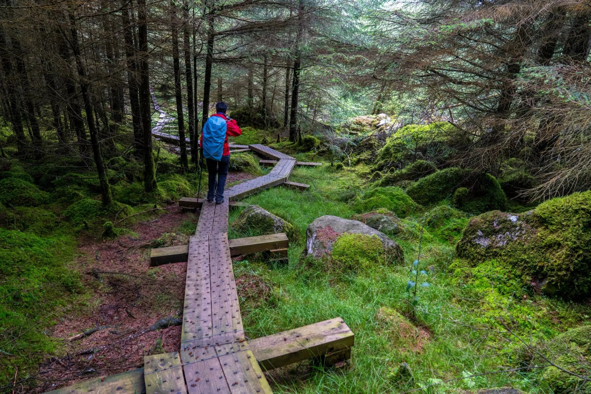
The route climbs onto the shoulder of White Hill, at 630 metres the highest point the Wicklow Way crosses. The higher summit of Djouce, at 725 metres, sits just off the main line as a short optional detour, and it is a common mix-up to credit the trail with a summit it only grazes. Underfoot this is boardwalk and eroded peat, because much of the stage sits on true blanket bog.
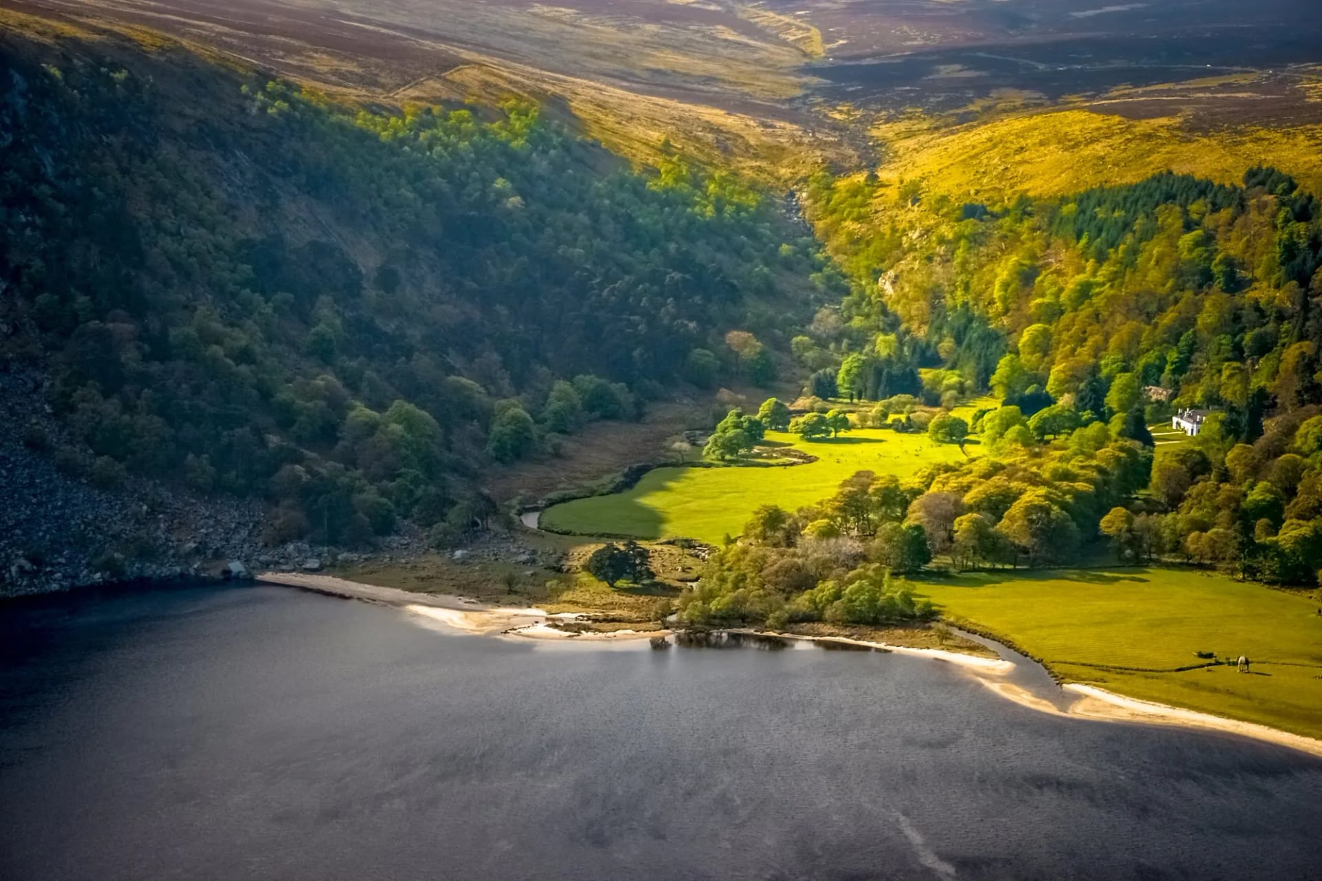
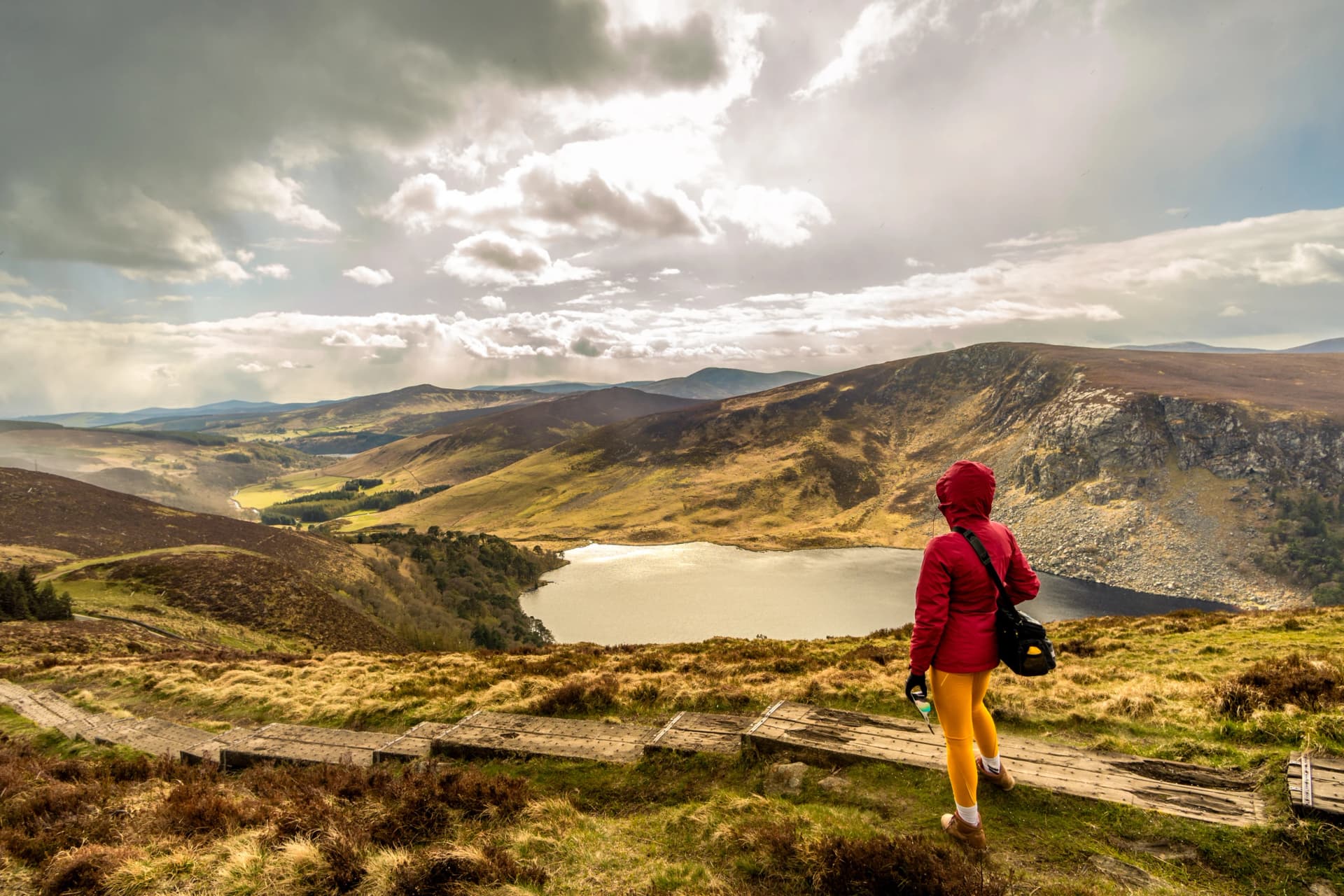
Beyond the ridge the trail drops towards Lough Tay, known locally as the Guinness Lake for its tannin-stained water and the pale sand brought in decades ago by the Guinness family, who owned the Luggala estate that frames it. Roundwood at the far end is the base of the volunteer mountain rescue team that covers these hills.
Stage 3: Roundwood to Glendalough
Distance: 12 km
Ascent: 350 m
Walking time: 4 hours
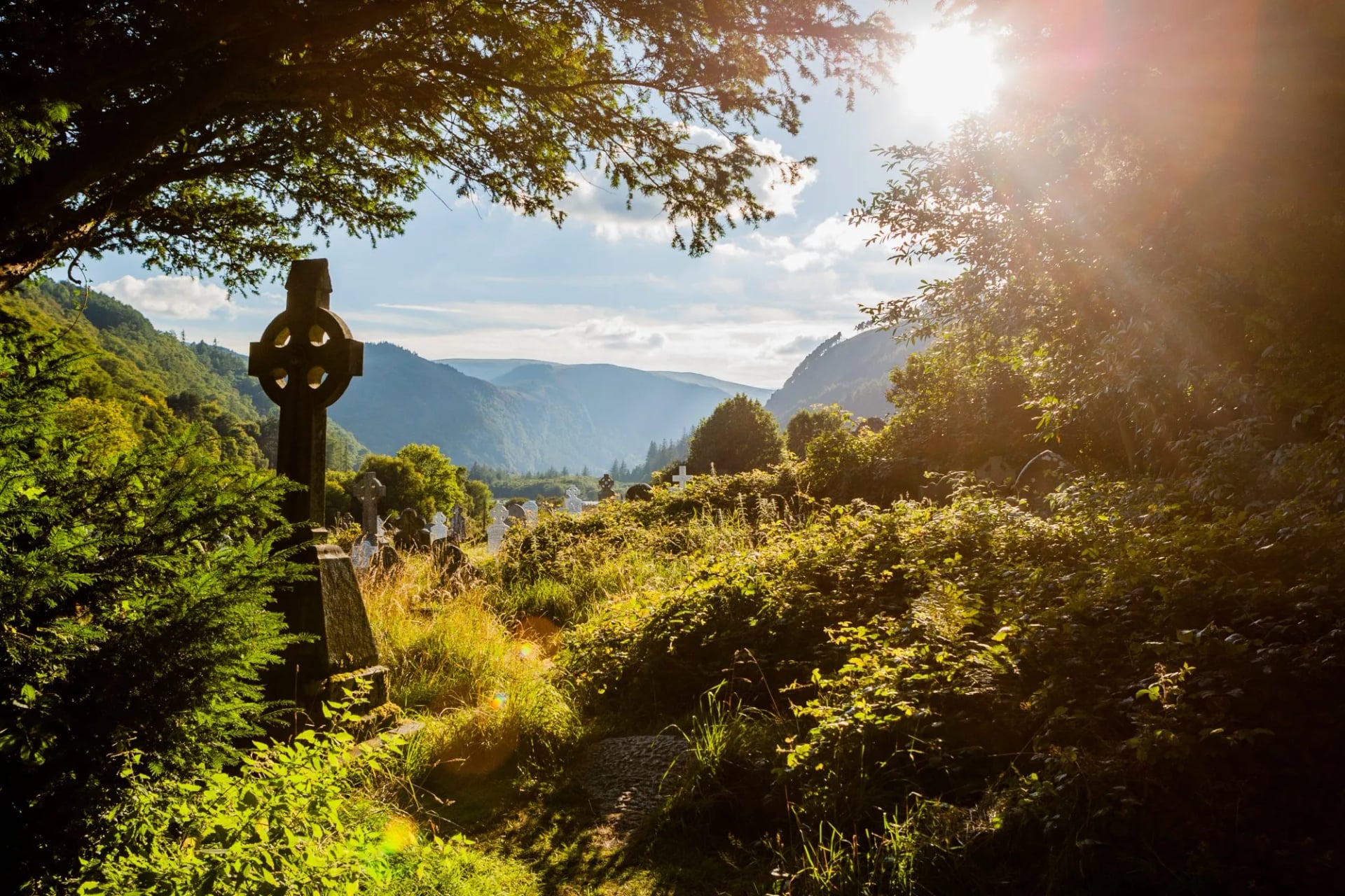
The shortest stage of the seven, and the one most walkers wish they had given more time. The descent into Glendalough follows several hundred wooden steps past the Poulanass waterfall into the monastic valley founded by St Kevin in the sixth century, where a round tower and the ruins of seven churches sit between two glacial lakes.
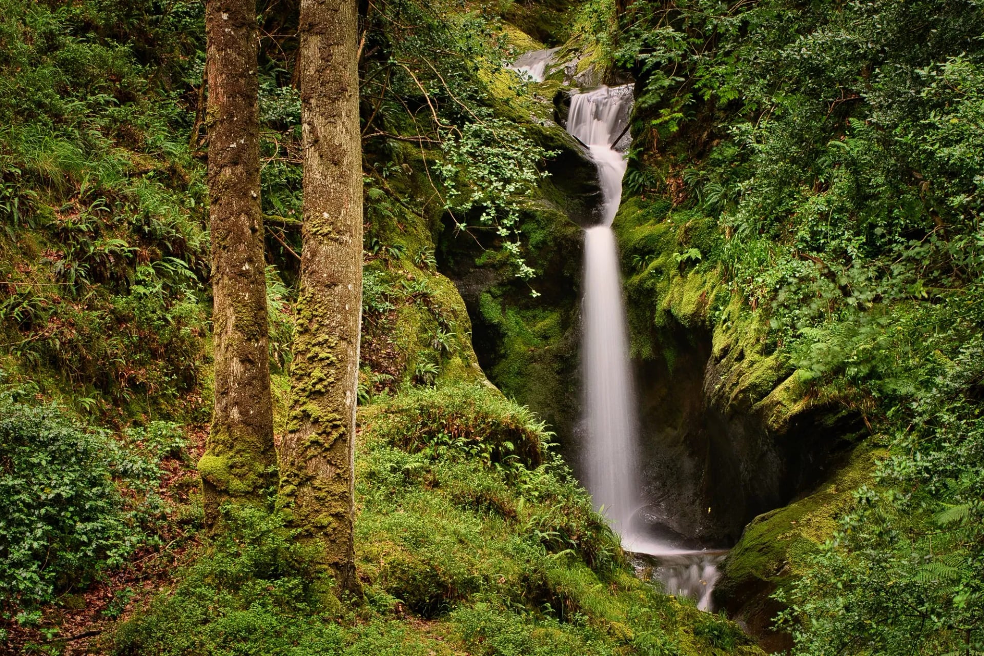
This is also the busiest ground on the route. Up to 24,000 people a year walk the stretch around Glendalough, so a fine Saturday here feels nothing like the rest of the trail. Arrive early and the valley stays quiet for an hour before the first coaches reach the car park.
Stage 4: Glendalough to Glenmalure
Distance: 14 km
Ascent: 400 m
Walking time: 4.5 hours
South of Glendalough the trail climbs onto the ridge above Glenmalure, at around 20 kilometres one of the longest glacial valleys in Ireland, austere and largely unpopulated. It was the site of a rebel victory over English forces in 1580, when Fiach MacHugh O'Byrne routed an English column on the valley floor.
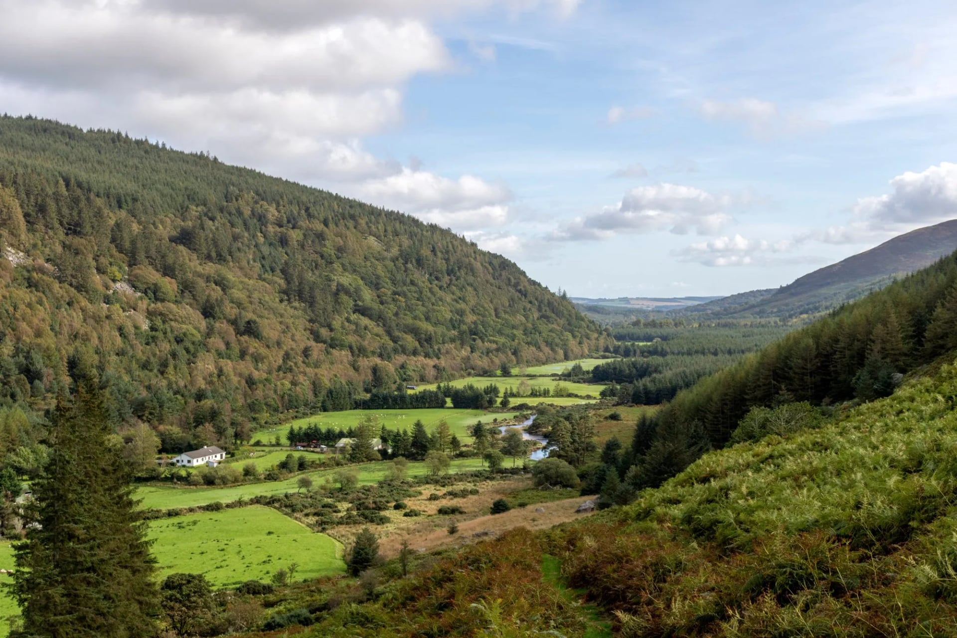
This is the last of the mountain stages. Beyond Glenmalure the granite peaks give way to forestry roads and rolling farmland, the climbs get shorter, and the distance covered each day tends to increase.
Stage 5: Glenmalure to Moyne
Distance: 21 km
Ascent: 550 m
Walking time: 7 hours
The hardest of the southern stages, largely because there is little shelter and few places to break it. The Way climbs out of Glenmalure past Aghavannagh and settles into a long rhythm of forest road and open hillside.
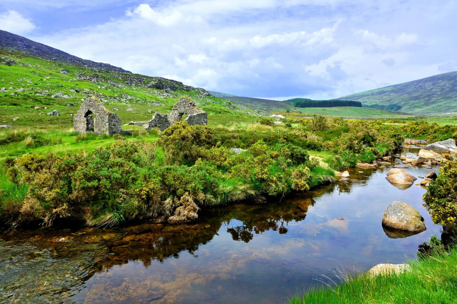
Foot traffic falls away sharply here. The busiest stretch of the trail carries up to 24,000 walkers a year; south of Glenmalure it drops to under 2,500, and the people you meet are mostly walking the whole route rather than out for the day.
Stage 6: Moyne to Shillelagh
Distance: 21 km
Ascent: 500 m
Walking time: 7 hours
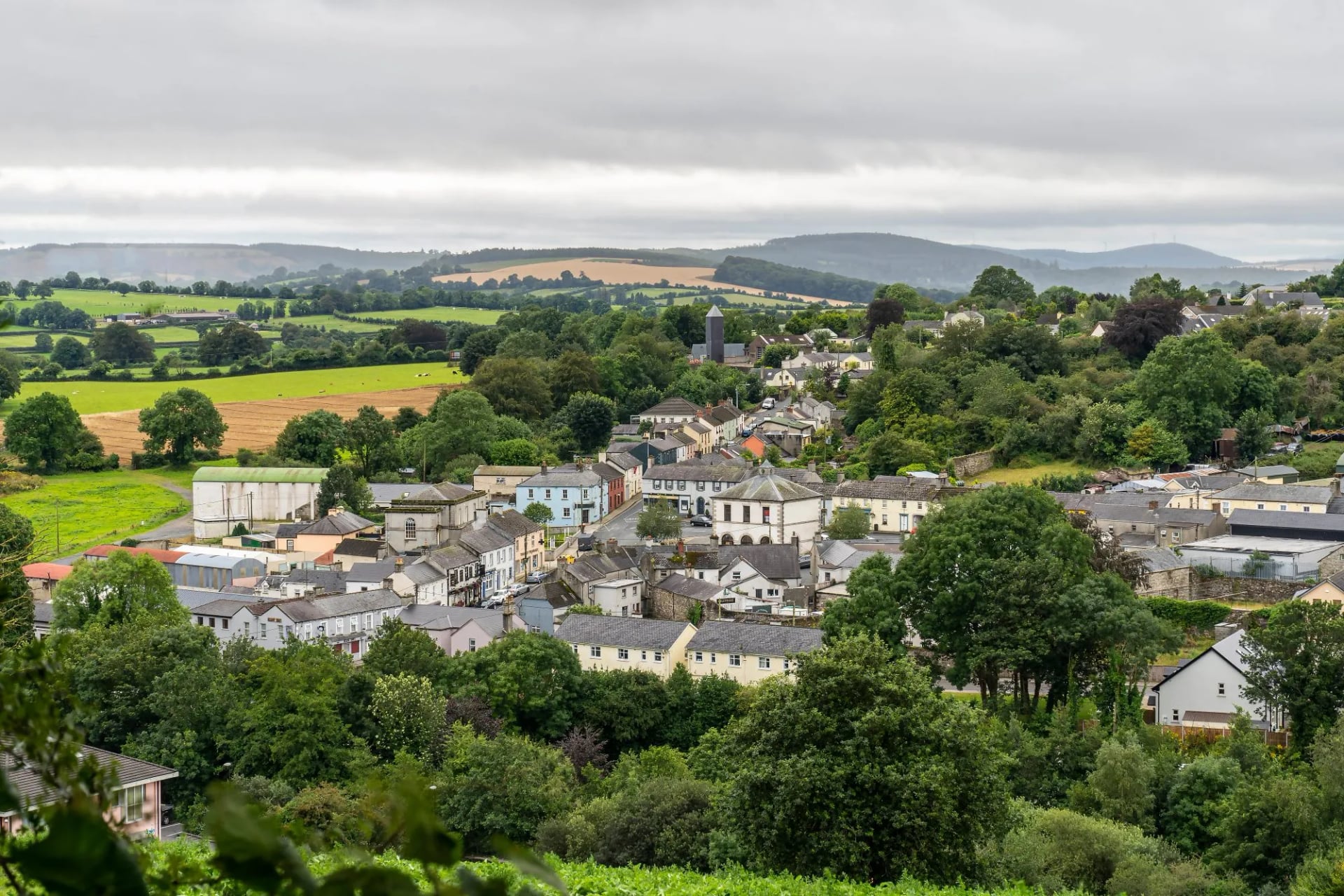
The trail runs down through Tinahely and on through rolling farmland and forestry. The climbs here are short and repeated rather than sustained, which is a different kind of tiring from the mountain stages behind you.
Sheep graze much of this ground, so keep dogs on a lead and close any farm gate you find shut behind you. Village shops and pubs in Moyne and Shillelagh often close early or stay shut on a Sunday, so buy the next day's lunch the evening before rather than assuming a shop will be open when you pass.
Stage 7: Shillelagh to Clonegal
Distance: 19 km
Ascent: 300 m
Walking time: 6 hours
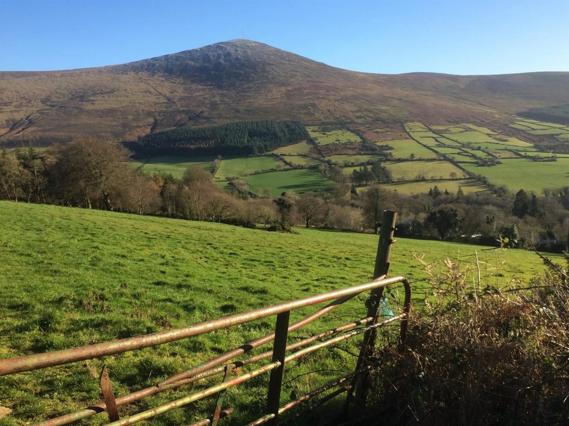
The final stage has the least climbing of the seven and the most tarmac: roughly two thirds of this stretch is on road or lane. What it gives instead is a long view south to Mount Leinster and the Blackstairs, and the clear sense of the mountains being behind you.
The Way finishes on the village green at Clonegal, a small Carlow village whose main landmark, Huntington Castle, sits just off the route. For the bus home, Bunclody is about 5 kilometres further on and Kildavin about 3.
Terrain and Waymarks
Most guides call this terrain moderate, but that single word hides how much the ground changes. The northern third, from Marlay Park to around Glendalough, is proper upland: forestry track giving way to open blanket bog, with boardwalk sections and bare, eroded peat where the boardwalk runs out. Above Glencree and around White Hill this ground is soft and often waterlogged even in a dry summer, and after sustained rain it turns to a black mud that will find its way over the top of a low boot. South of Glenmalure the trail firms up considerably: forestry roads and farm lanes replace the open moor, with only short, sharp climbs rather than sustained ascents.
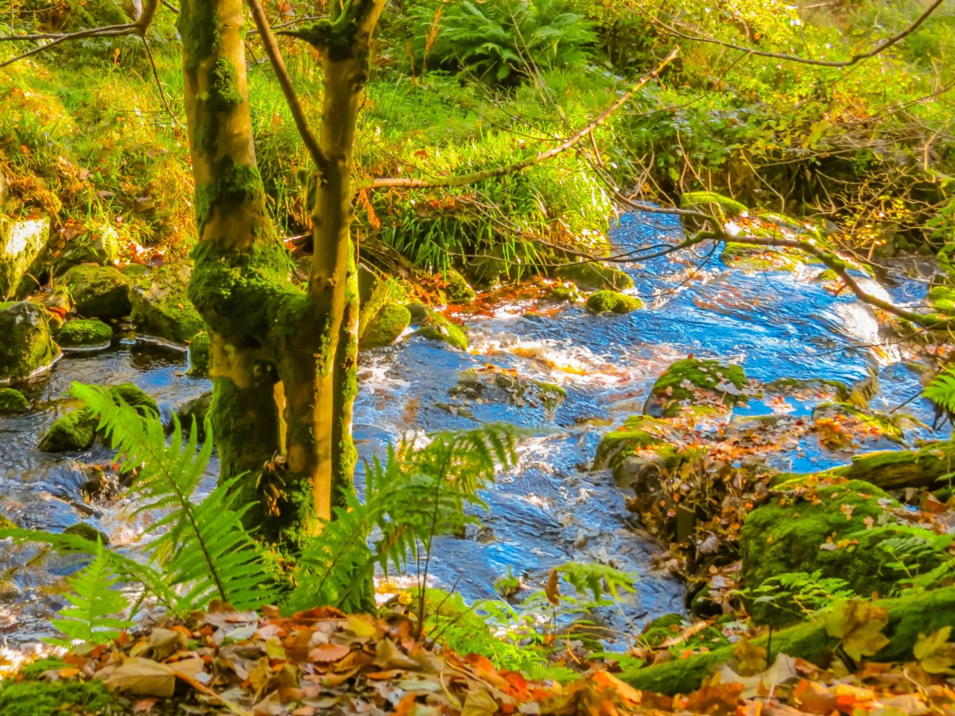
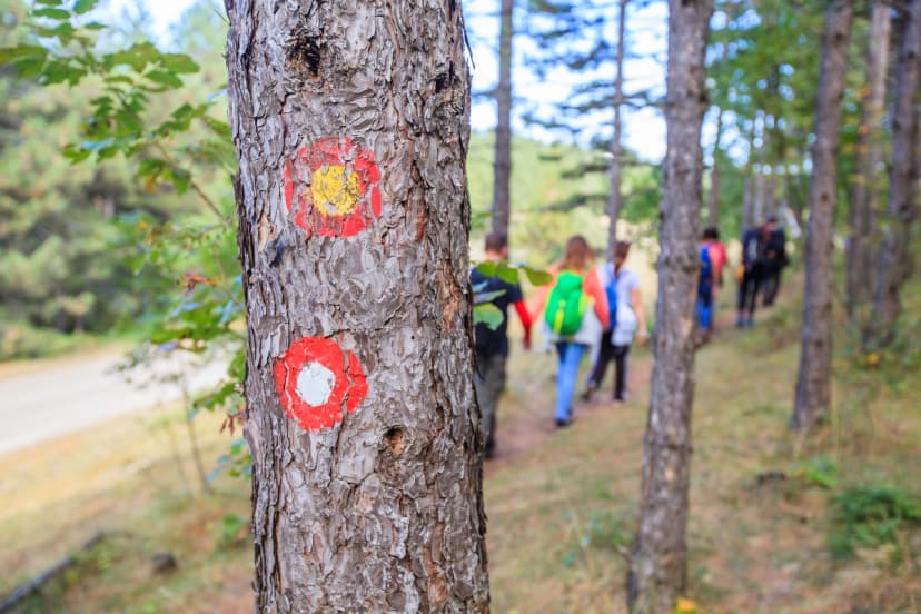
Waymarking is consistent throughout: a yellow arrow and walking figure on a black background, mounted on posts. It is well maintained and one of the more reliable trail-marking systems in Ireland, but mist rolling in over the exposed northern ridges can make posts hard to pick out at any distance, and this is the one place on the route where carrying a map and compass, not just a phone, actually matters.
Access and the Right to Roam
Ireland has no right to roam. The Wicklow Way exists because landowners agreed to let it cross their land, not because you have a legal right to be there, so stay on the marked route rather than wandering off. It also means casual camping is out. Book a bed rather than packing a tent.
Safety on the Trail
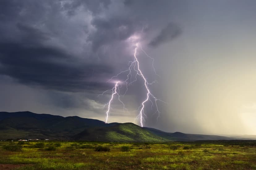
The two risks that actually catch people out here are exposure on the open ridge sections and getting caught by weather with no easy way off. Wind speed increases sharply with height across the Dublin and Wicklow granite, and on exposed ground gusts strong enough to unbalance a walker are common in autumn and winter.
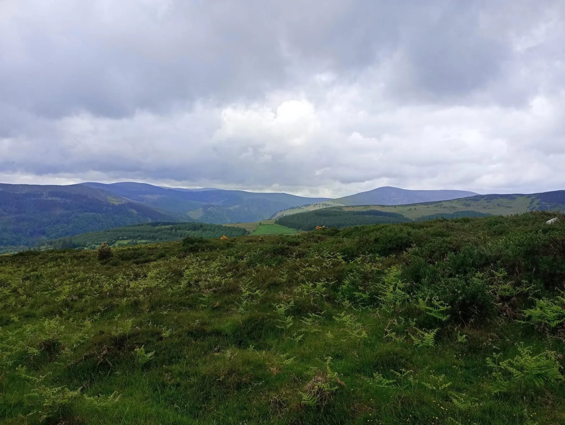
If cloud comes down over the ridge, descend rather than push on through it. The boggy, featureless ground above Glendalough is easy to get disoriented on in poor visibility, even with the waymarking.
Forecast. Check the mountain forecast the evening before each day's walk, not just the general forecast for Dublin or Wicklow. A clear morning in the valley says very little about what the exposed tops will be doing by early afternoon, and Met Éireann publishes the mountain forecast separately.
Emergencies. Dial 112 or 999. The Dublin and Wicklow Mountain Rescue Team, a volunteer unit based in Roundwood, covers the uplands of Dublin, Wicklow and Louth around the clock.
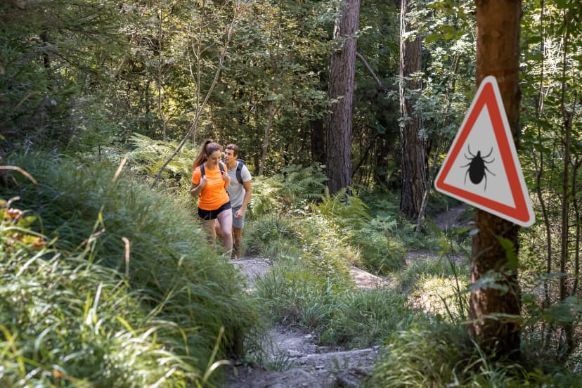
Ticks. A smaller but real risk, especially through the heather and bracken north of Glenmalure. Tuck trousers into socks on overgrown stretches, check exposed skin at the end of each day, and remove any tick promptly with fine-tipped tweezers, pulling straight out rather than twisting. A spreading red rash or flu-like symptoms in the days after a bite warrant a GP visit, since Lyme disease is present in Ireland at low levels. Our guide to avoiding ticks while hiking covers the rest.
Best Time to Hike the Wicklow Way
The Wicklow Way has no official closed season and is walkable year-round, though short daylight and harsher upland weather make winter a poor choice for a multi-day crossing.
Rainfall here does not follow the pattern many visitors expect. Averages put July marginally drier than June, with August the wettest of the three, so there is no single safe summer month to plan around and checking the forecast a few days out matters more than picking a calendar month.
Late spring. May stands out as Ireland's driest month nationally, which makes it a strong choice if dry ground matters to you. June brings the payoff of daylight, with up to 17 hours of light at this latitude, useful if you want a long, unhurried day on the northern mountain stages.
Autumn. September offers a reasonable compromise of settled weather and thinner crowds on the popular northern stages, while October brings a real risk of the first autumn storms reaching the exposed ridges. Outside a rough March to October window the trail is still walkable, but daylight is short, accommodation along the route is more likely to be closed for the season, and the upland sections are more exposed to properly poor weather.
Midges. Present from May to September and worst on still, humid evenings, particularly if you stop in a sheltered, boggy spot. They largely disappear once the wind picks up, so an exposed ridge is often more comfortable than a sheltered valley on a calm evening. Our guide to surviving midges on a hike covers this in more detail.
Where to Stay
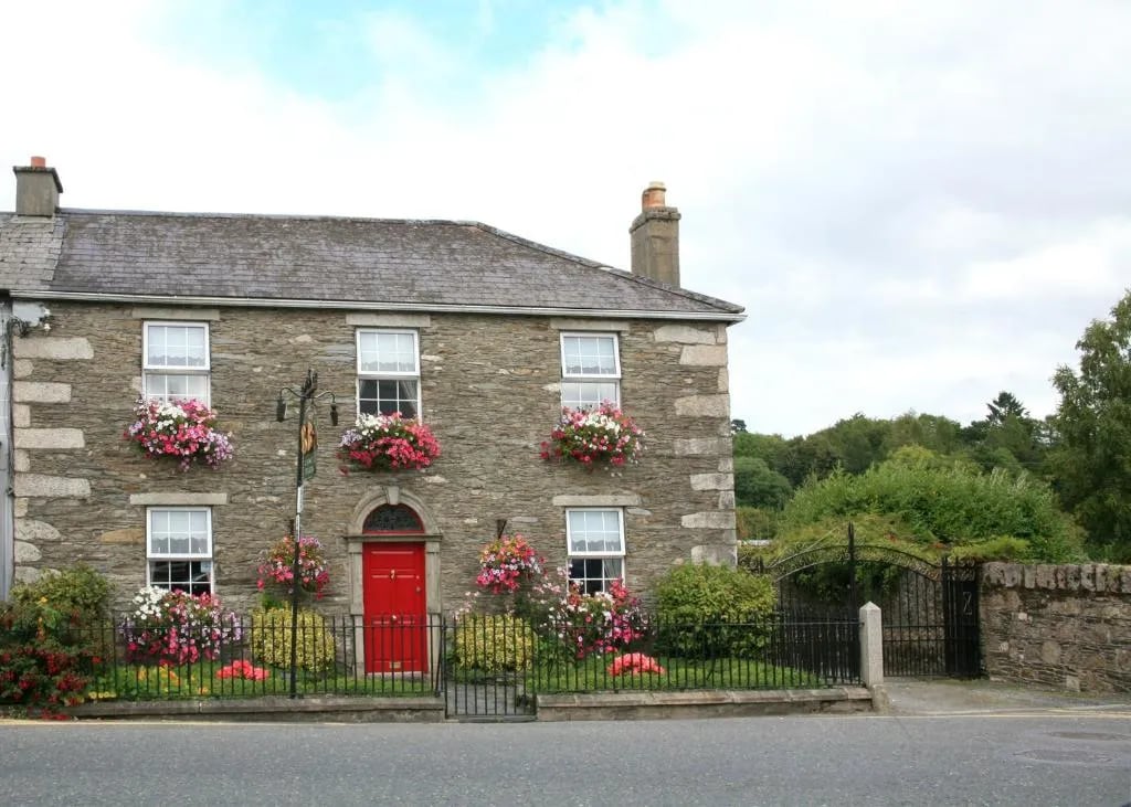
Accommodation on the Wicklow Way is B&Bs, small guesthouses and the occasional hostel or hotel, not mountain huts, which is a real structural difference from an Alpine hut-to-hut trip if that is your point of comparison. Most options sit a short distance off the trail rather than directly on it, so booking ahead matters more here than the trail's modest profile might suggest.
What to Pack
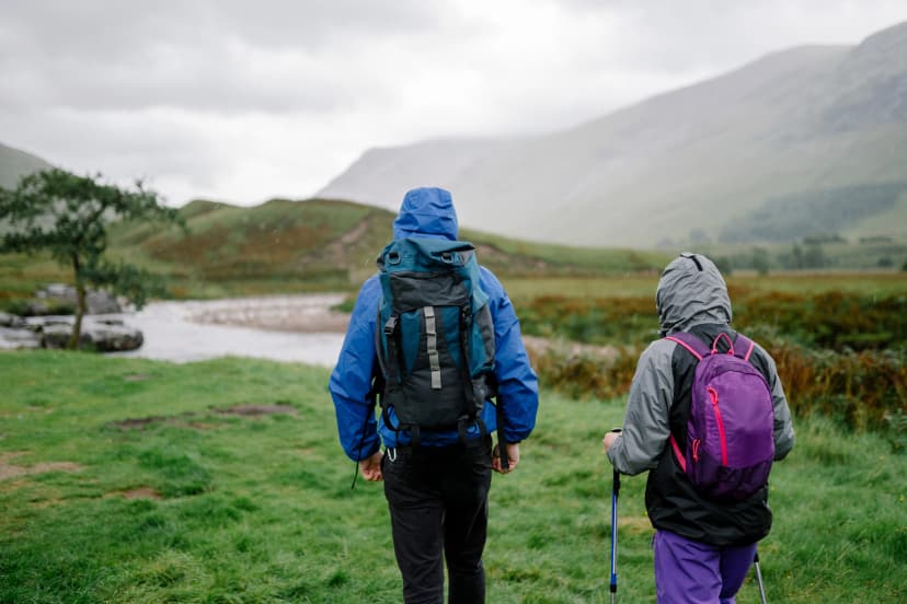
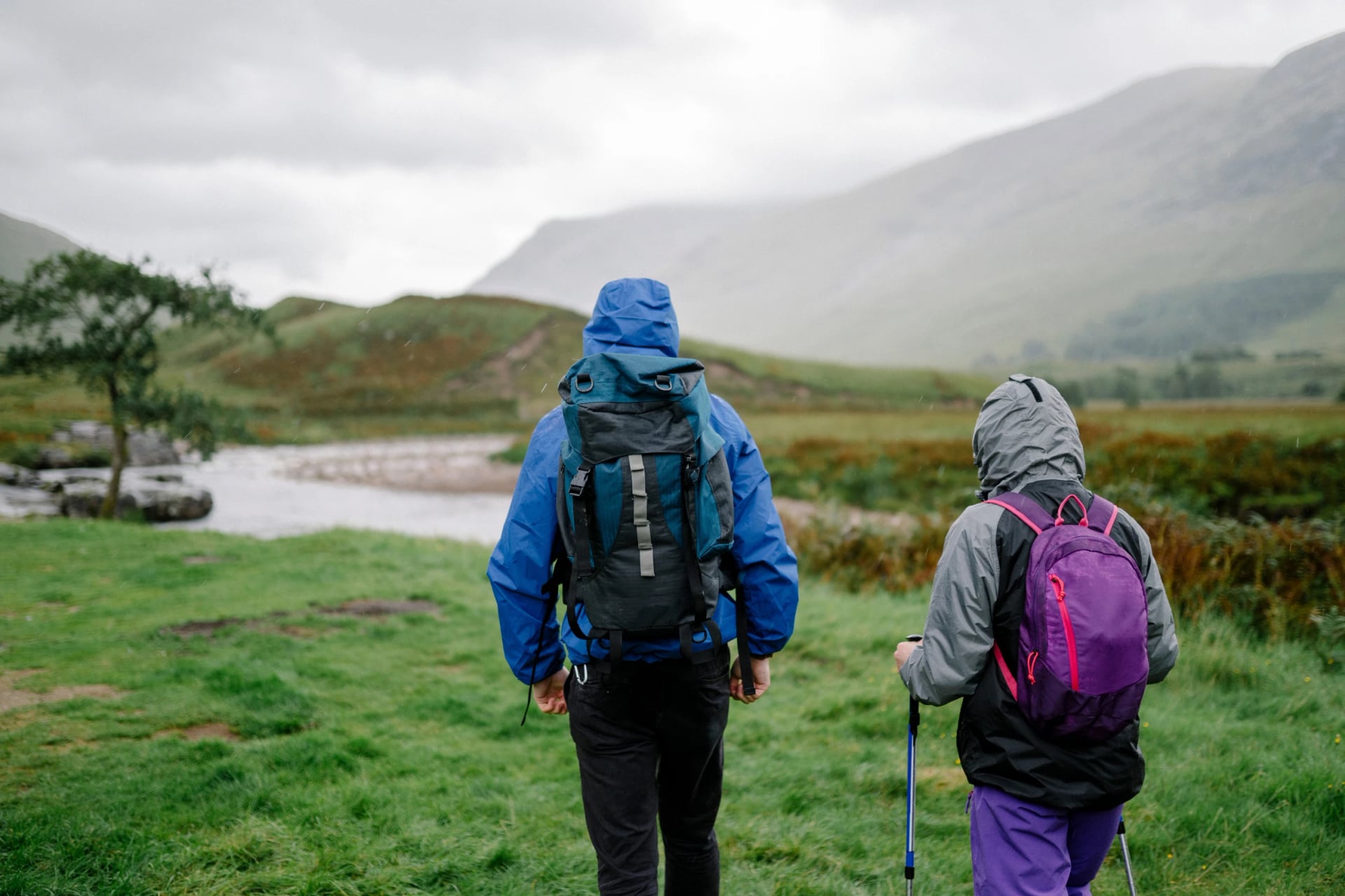
A waterproof shell with taped seams and a hydrostatic head rating of at least 10,000mm is the realistic minimum for a full day on Irish upland terrain, and 15,000mm or higher is a sensible step up if you are out for a week regardless of conditions. That number matters less than keeping the jacket's DWR coating topped up. Once the durable water repellent wears off, the fabric soaks through long before the waterproof membrane underneath actually fails.
Boots rather than trail runners are the sensible call here, given how wet and uneven the peat sections stay, and they want to be broken in before you start. Walking poles earn their place twice: on the steps down to Glendalough and on the climb out of Glenmalure.
Beyond that the list is short. A paper map and compass for the exposed northern ridge, a phone with the route downloaded offline, since the signal goes patchy across the open moorland between Roundwood, Glendalough and Glenmalure, a midge net between May and September, and enough food for the day, since the gaps between shops on the southern half are longer than the distances suggest.
Carry some cash as well. Card payment is widely accepted in the towns, but the smaller B&Bs and rural pubs in villages like Moyne, Tinahely and Clonegal still prefer notes. Water is the easier half of that: tap water is safe to drink everywhere on the route, and the only thing worth treating is what you take from an upland stream, since livestock graze most of the higher ground the trail crosses.
Getting There
Dublin Airport is the nearest international gateway, with Aircoach and Dublin Express services running into the city centre in around 30 to 45 minutes depending on traffic. From the city, Dublin Bus runs to Marlay Park, the trail's northern trailhead in Rathfarnham, which makes this one of very few long-distance trails in Europe you can start on an urban bus route.
Getting home from the southern end takes more planning. Clonegal itself has no bus, so walkers carry on to Bunclody about 5 kilometres further, or to Kildavin about 3 kilometres away, where Bus Éireann's route 132 runs back to Dublin via Tullow. Check the day's timetable before you finish, since the service is thin and a missed bus means a long wait in a small village.
If you are walking south to north, as our own trip does, the pattern reverses: you take the 132 down on the first day and finish within reach of a Dublin city bus, which is the easier end to be tired at.
Is the Wicklow Way For You?
The Wicklow Way will never have the scale of an Alpine hut tour or the singular drama of a coastal cliff path, and it does not need either to be worth doing. What it offers instead is a properly wild mountain crossing that starts on a Dublin bus route, a monastic valley worth an afternoon on its own, and a second half that rewards anyone willing to let a long-distance trail be quiet for a while.
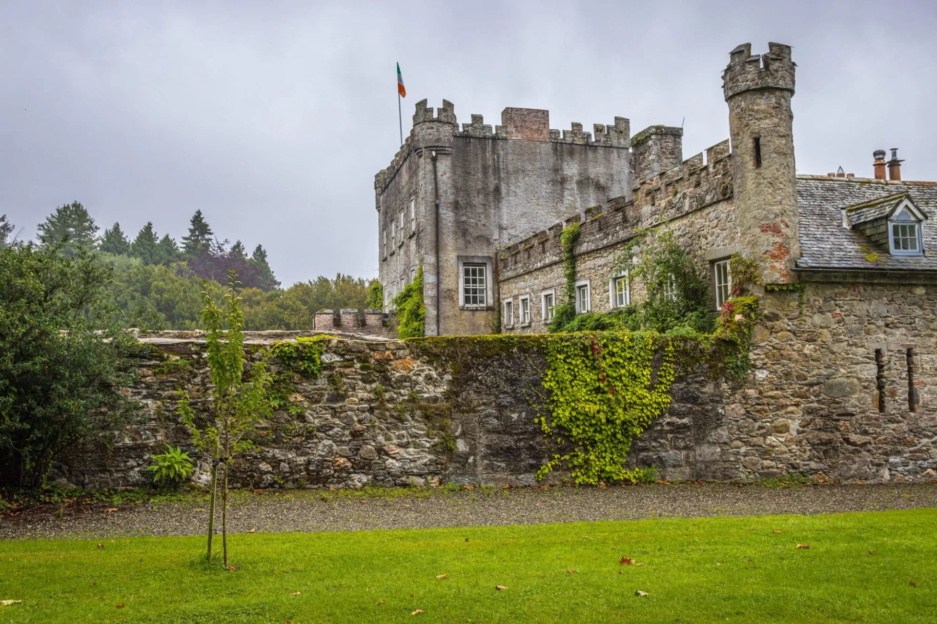
It rewards planning rather than spontaneity, and it rewards slowing down at Glendalough rather than treating it as a waypoint. Walk it in six days and you will have covered the ground; walk it in eight and you will have seen it.
Self-Guided or Independent
Walking the Wicklow Way with nobody but yourself is entirely realistic. The waymarking is good, the trail crosses a road often enough that bailing out is rarely difficult, and the accommodation network along the route is established. What takes the time is the booking: beds sit off the trail, options thin out in the smaller villages, and Glendalough and Roundwood can fill in summer.
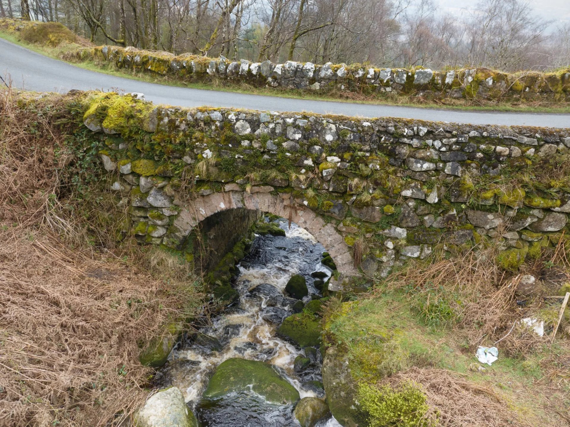
A self-guided trip hands that part over while leaving you walking on your own. Our Wicklow Way trip runs ten days south to north with nine nights of accommodation and breakfast, a digital guidebook with route instructions, GPS navigation, luggage moved between stops, and support on the phone if something goes wrong on the hill. Tourist tax is the only thing not covered.
There is no guided version of this route on our books, and for a trail this well marked that is deliberate. What a supported itinerary buys you here is the logistics.
For how our self-guided trips actually run, see Self-Guided Tours Explained and the Hiking Difficulty Guide. If Wicklow is only part of what you are considering, our Kerry Way and Dingle Way weeks cover the south west.
If you would like help putting the logistics together, from accommodation to daily route notes, get in touch and we can talk through what a Wicklow Way trip with us actually looks like.
Frequently Asked Questions

About this author
Jon is our travel advisor and an outdoor adventurer who is happiest on the move. While mountain biking is his personal passion, he thrives on crafting hiking adventures for others — planning routes and adding the little touches that turn a trip into a core memory.