Cotswolds Hiking: The Cotswold Way, Villages and Best Walks
Cotswolds hiking without a steep climb: the 102-mile Cotswold Way along the escarpment, the villages worth walking through, and the two best months to go.

Jon
Published August 11, 2026
Edited September 29, 2026
19 min read
Quick links
Don't want to read all this?
We've planned 2,000+ hiking trips. Send your dates, fitness and group size — we'll map the route and book every night.



The Cotswolds are the gentlest good walking in England, and the reason is a single seam of rock. A band of golden limestone tilts up out of the Severn Vale, runs about 140 kilometres north east to south west, and drops away in a long west-facing edge. Everything else follows from that: the views, the villages, the field paths and the fact that you can walk here for a week without a steep climb.
They are also widely misread. Most visitors experience the Cotswolds from a car park in one honey-coloured village, then another, and conclude the place is a series of postcards. On foot it reads completely differently. The villages were built where the walking routes already went, at the spring line and the valley crossings, and joining them up on foot is the only way the pattern makes sense. Our walking holidays in England are built the same way, one village to the next.
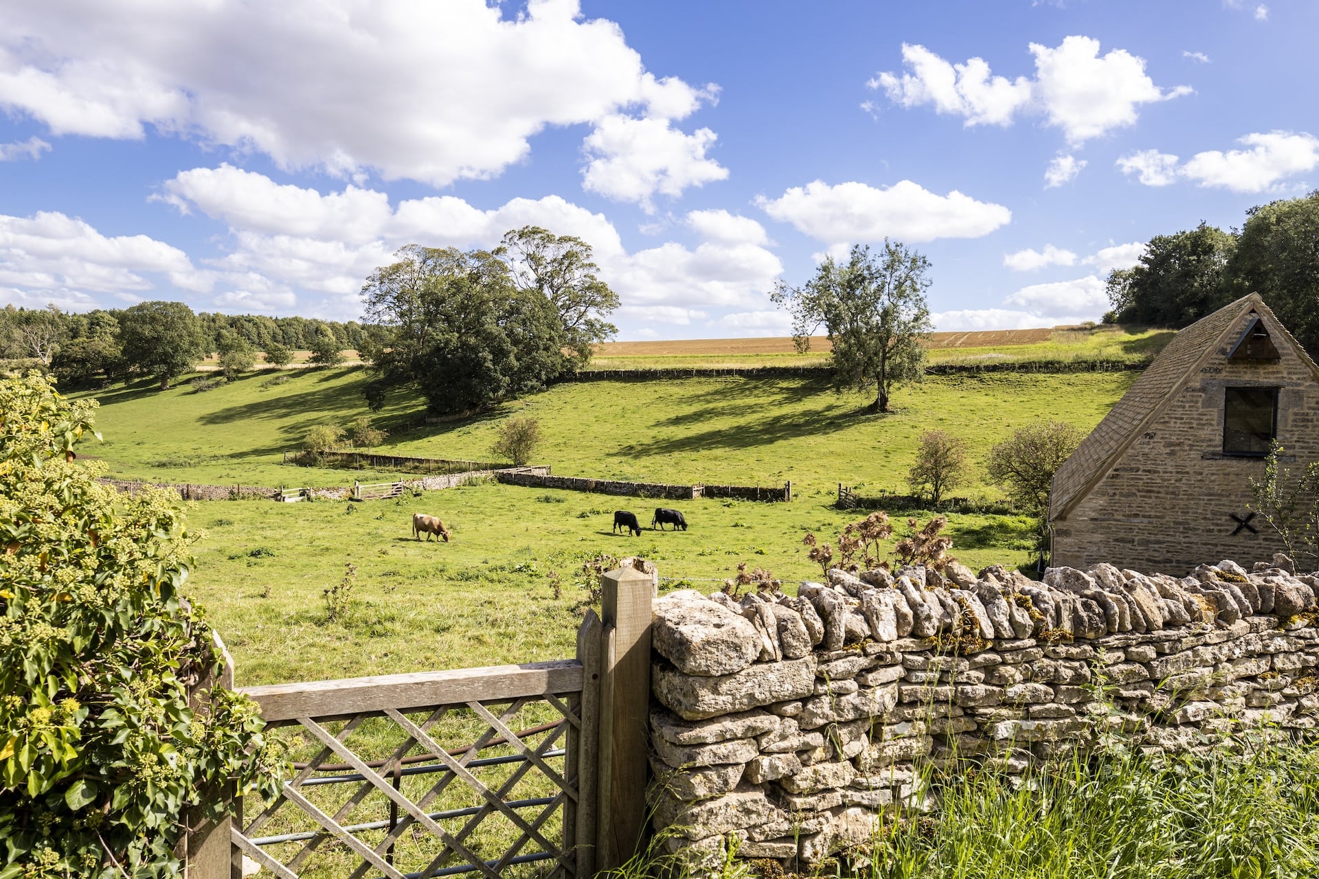
The stone explains the look of the place. Cotswold limestone is oolitic, formed on a shallow tropical seabed around 170 million years ago, and it is soft enough to cut with a saw when freshly quarried. Every village was built from whatever came out of the ground beneath it, which is why the buildings match the fields, and why the colour shifts as you walk. The north is deep honey, the south is nearly white by the time you reach Bath.
Cotswolds hiking is village-to-village walking in its purest British form: 15 to 20 kilometres a day, a pub at lunch, a market town at night, and almost no ascent worth the name. It is the gentlest of the six landscapes in our guide to hiking in the UK, and the exact opposite end of the range from Lake District hiking, where the same week of walking can cost you twice the ascent. This guide covers how the region is laid out, the Cotswold Way, the villages worth walking through, and when to come.
How the Cotswolds Are Laid Out
The Cotswolds are a cuesta, a block of rock tilted like a book on a shelf. The high western edge is the escarpment, a steep face looking out over the Severn Vale to the Malverns and Wales. Behind it the land slopes away gently east for 30 kilometres or more, cut by shallow valleys, until it runs out into the Thames basin.
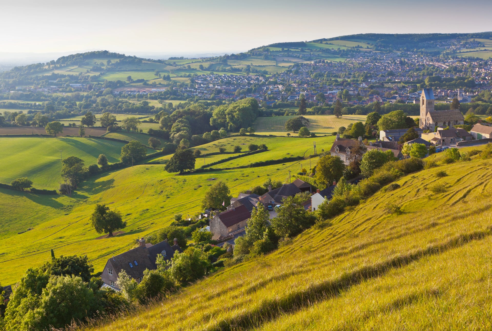
That shape is the whole map, and it splits the region into two kinds of walking. The escarpment gives the views and every metre of climb the region has, which is why the Cotswold Way runs along it. The dip slope behind gives the classic villages, the river valleys of the Windrush, Evenlode and Coln, and walking so level it barely registers.
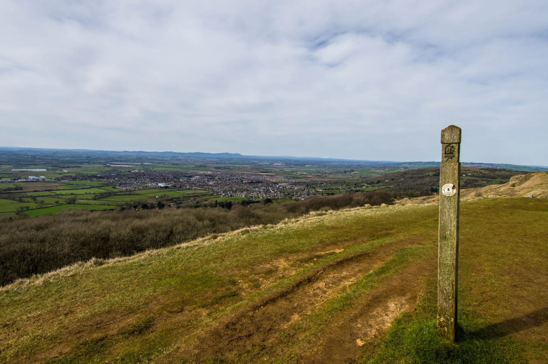
The region is the largest National Landscape in England and Wales, covering around 2,000 square kilometres across six counties, designated in 1966. Its highest point is Cleeve Hill at 330 metres, above Cheltenham. Think of it as a spine with a slope behind it. The trail follows the edge, the villages sit back from it on the dip slope, and choosing between the two is the main planning decision you have to make.
Cotswold Way: The 102-Mile Trail
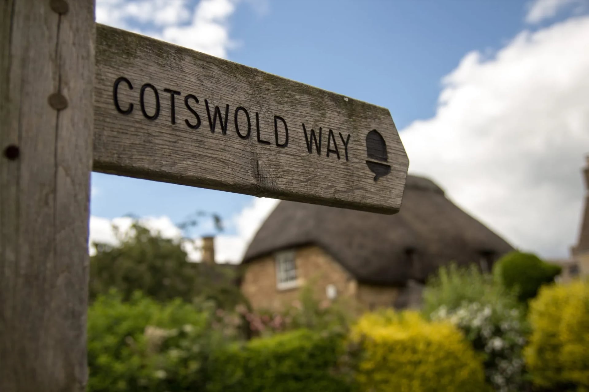
The Cotswold Way runs 102 miles from Chipping Campden to Bath. That is 164 kilometres, market square to abbey door. It became a National Trail in May 2007, which means acorn waymarking the whole way and a standard of maintenance the region's other paths do not get. Most people take seven to ten days for the full route.
It is not a ridge walk, despite following an edge. The trail repeatedly climbs onto the escarpment for a view and drops back off it to a village, which is where the ascent comes from: the full route climbs around 3,500 metres in total, all of it in small pieces. Walked in either direction it works, though south to north keeps the prevailing wind and the afternoon sun behind you.
Chipping Campden to Cheltenham
The first 50 kilometres hold most of what people picture. From Chipping Campden the trail climbs Dover's Hill at 230 metres, a natural amphitheatre used for a hill-games meeting since 1612, then runs the edge to Broadway Tower before dropping into Broadway itself. Stanton, Stanway and Winchcombe follow, then the long open crown of Cleeve Common, 400 hectares of unenclosed common land above Cheltenham.
This section carries the highest concentration of things worth stopping for anywhere on the trail: Hailes Abbey, Sudeley Castle, the Neolithic long barrow at Belas Knap and the Cotswolds' highest ground. It is also the half most walkers choose if they only have five days, and it is exactly the ground our Cotswolds Highlights route covers, at 17, 12 and 19 kilometres over three walking days.
Cheltenham to Bath
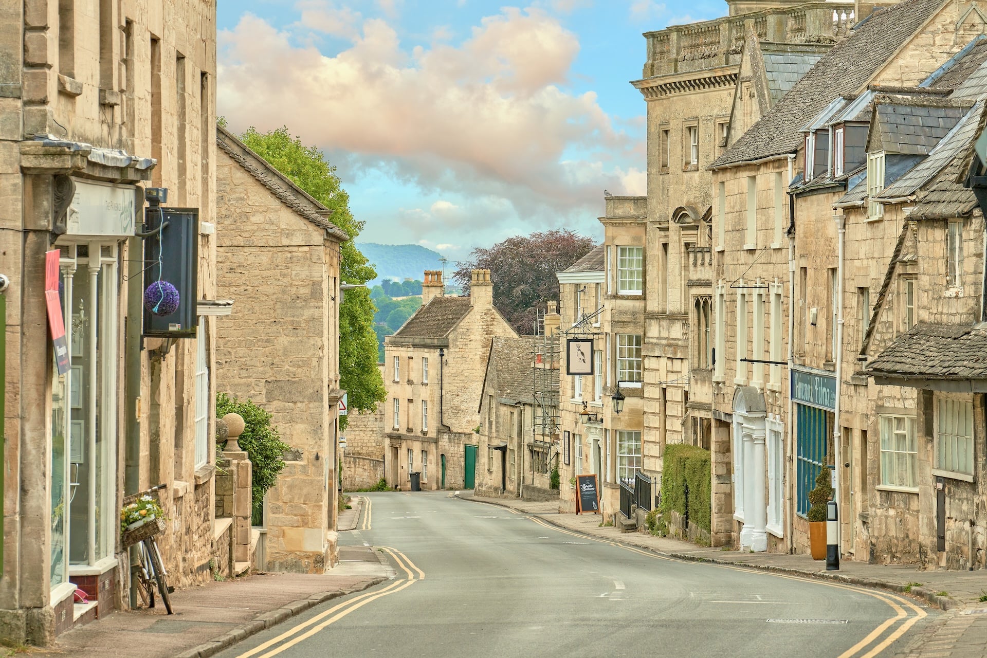
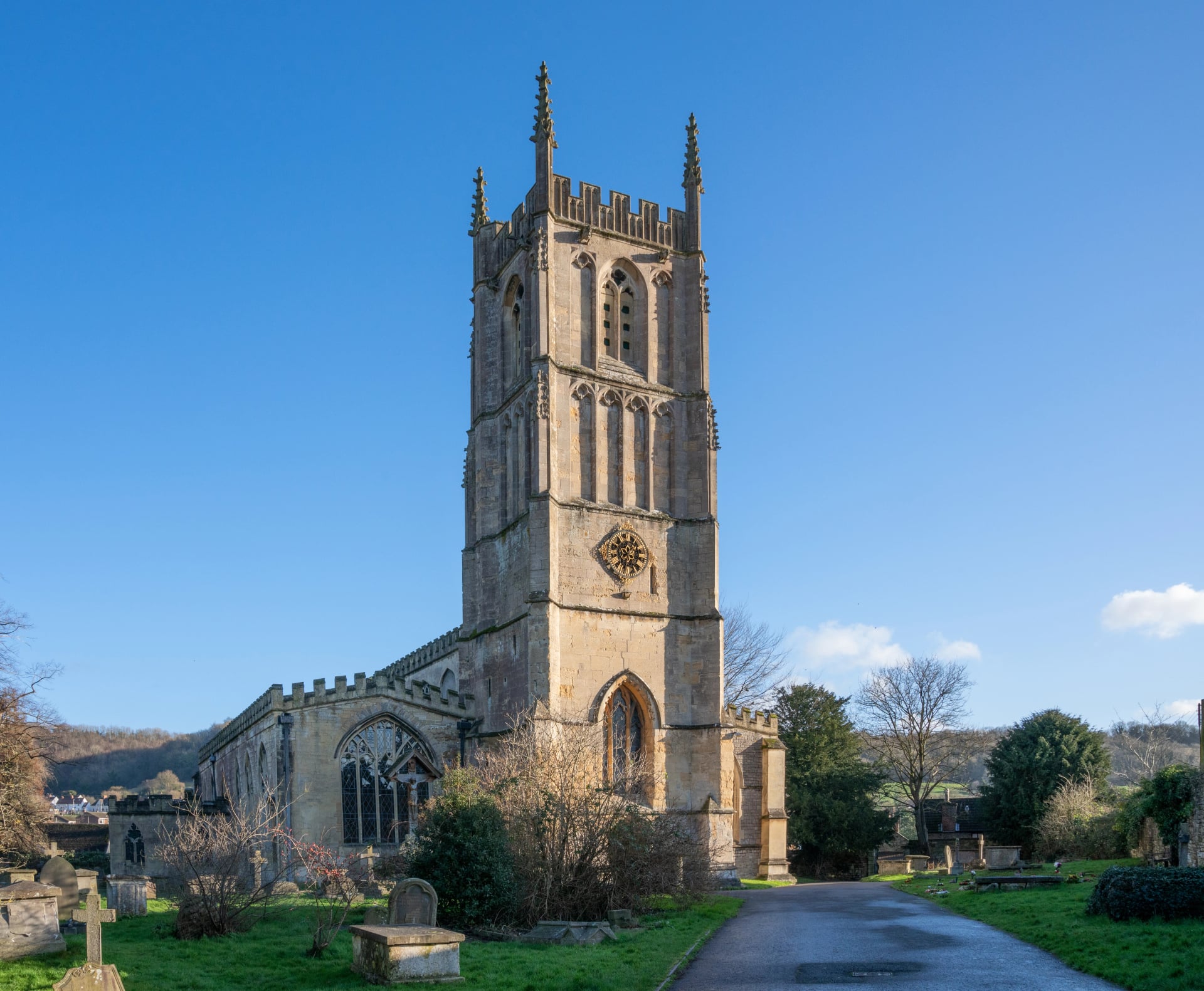
South of Cheltenham the trail empties out and the character changes. The villages are further apart, the woodland is thicker on the scarp slope, and the stone lightens towards the grey-cream of Bath. Painswick comes early, with a churchyard famous for its clipped yews, then Stroud, Dursley and Wotton-under-Edge.
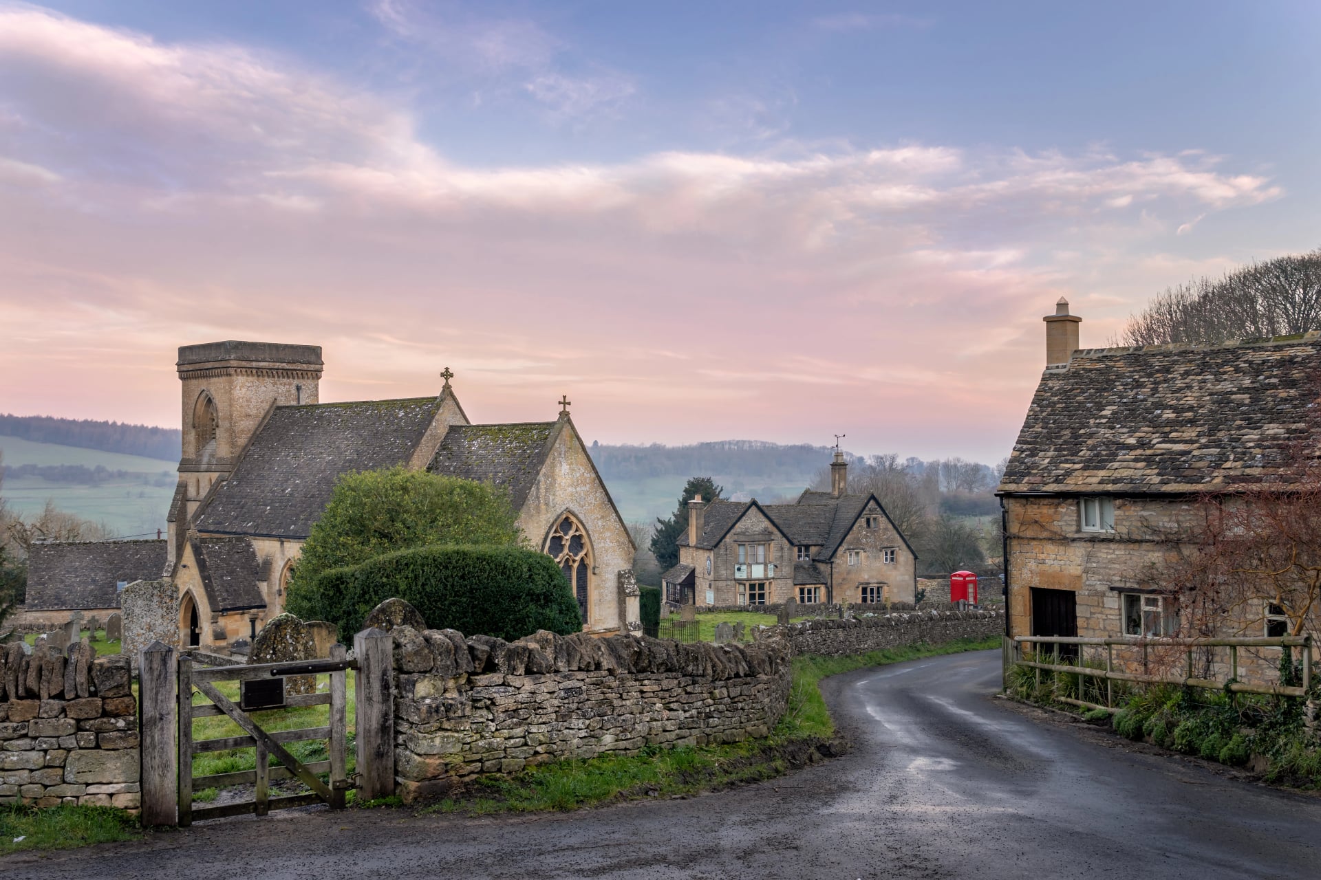
The last stretch crosses the Iron Age hillforts above Bath before dropping into the city to finish at Bath Abbey, on a site that has held a church since the 7th century, beside Roman baths still fed by a spring at 46 degrees. The southern half sees a fraction of the northern traffic, which makes it the better choice in July and August, and Bath at the end gives you a UNESCO World Heritage city and a mainline station in the same place.
Cotswolds Villages to Walk Through
The villages are the point, and they are not interchangeable. Each was built on the same stone by the same wool money, and they have aged into very different places. These are the ones worth planning a route around, roughly north to south.
Chipping Campden
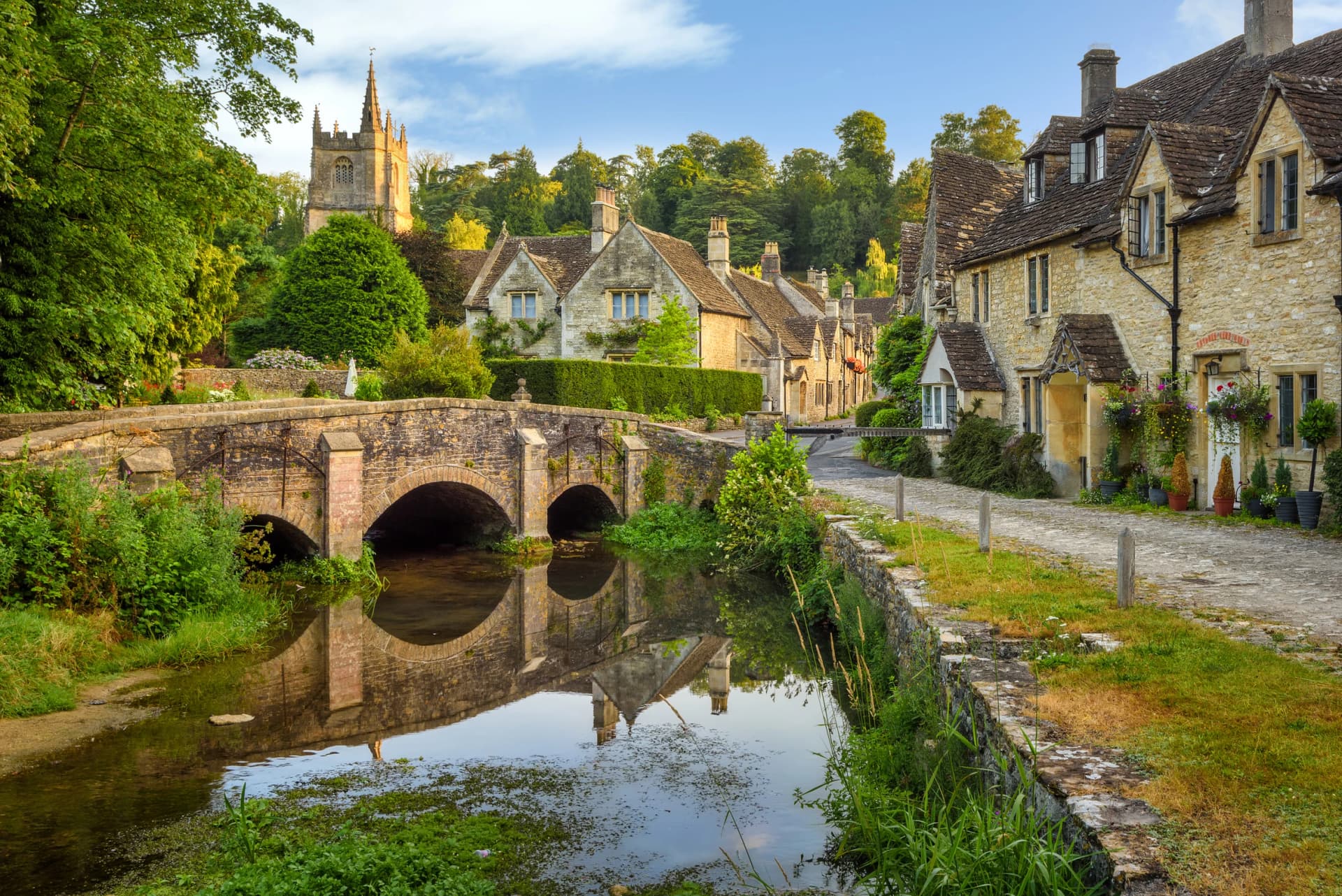
Chipping Campden is the finest of the wool towns and the northern end of the Cotswold Way. Its curving high street is a continuous run of golden stone, and at its centre stands the Market Hall, built in 1627 for the sale of butter, cheese and poultry and still open to the weather on all sides. The word "chipping" is Old English for a market.
St James' Church at the top of the town is one of the great Cotswold wool churches, funded by fifteenth-century merchants who grew rich on fleeces. The whole town is a monument to sheep, and the Cotswold Lion breed that paid for it once carried the most valuable wool in Europe.
Broadway and Broadway Tower
Broadway sits at the foot of the escarpment, its green so wide the village name describes it, about 3 kilometres downhill from the tower. It is one of the busiest villages in the Cotswolds and one of the best to arrive at on foot, because the descent from the tower drops you straight into the top of the village.
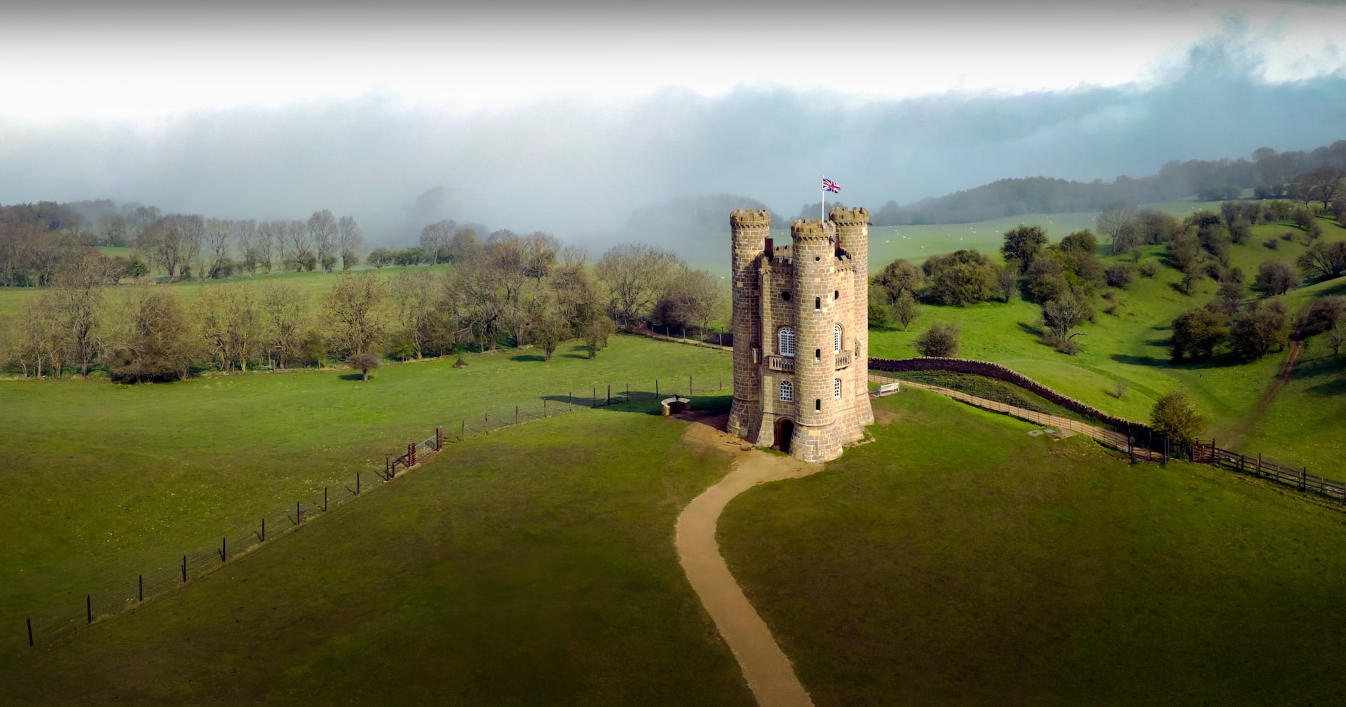
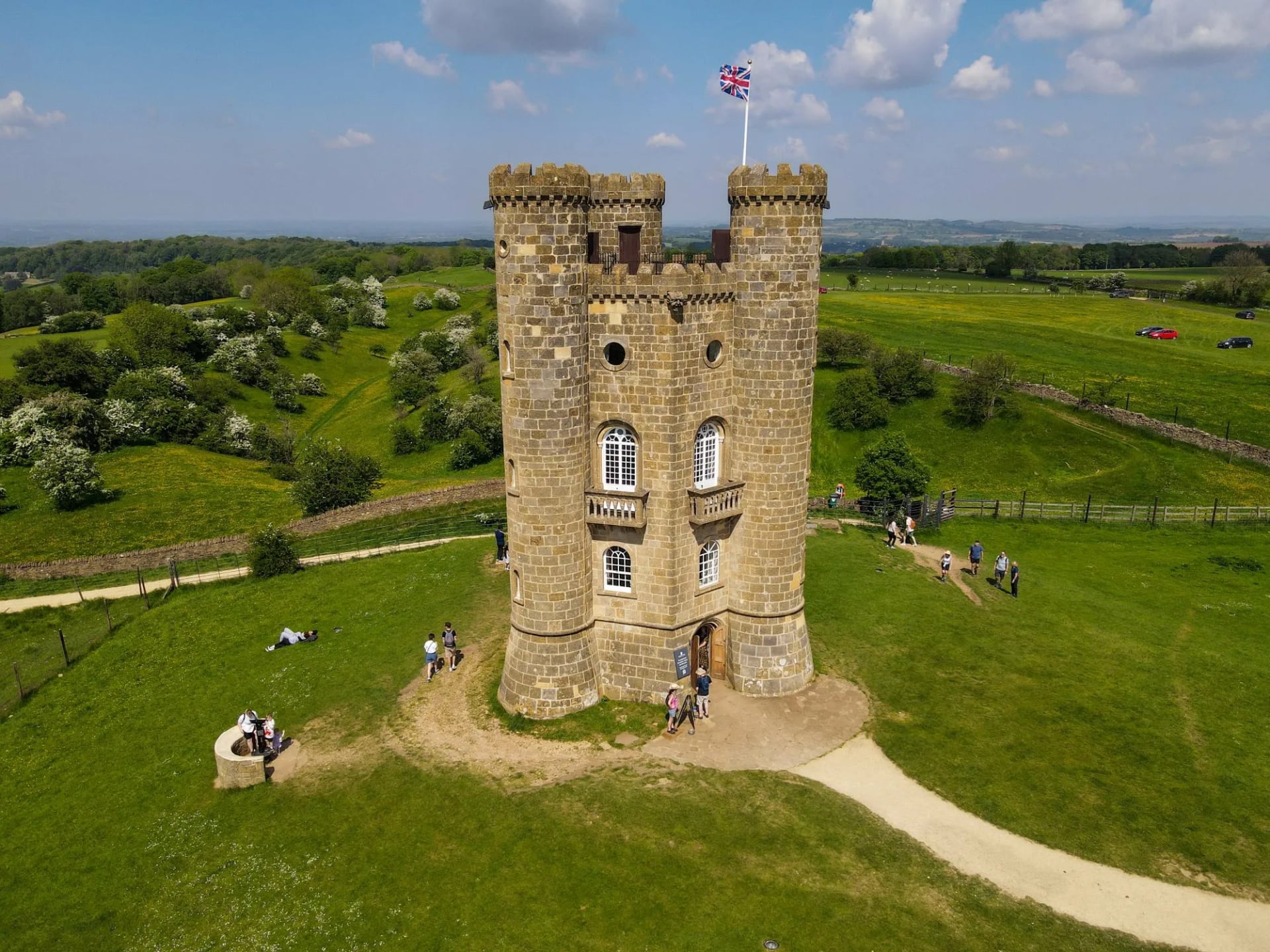
Broadway Tower itself is a Gothic folly built in 1798 for the Earl of Coventry, standing at 312 metres on the second highest point in the Cotswolds. William Morris used it as a country retreat, and the hill it stands on held a Cold War nuclear monitoring bunker from 1961 until 1991. On a clear day the view reaches sixteen counties, which is the claim locally and hard to check from the top.
Stanton and Stanway
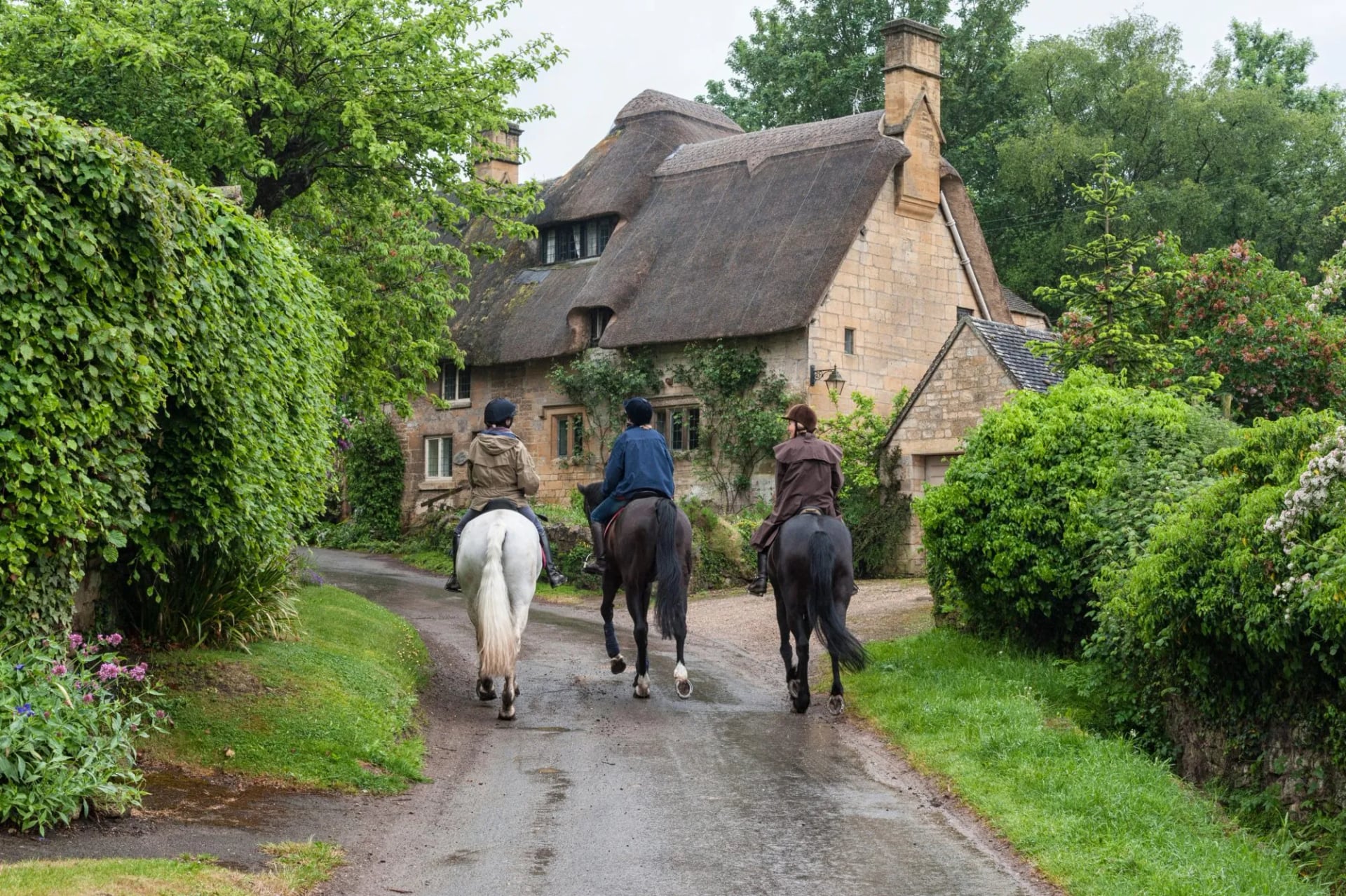
Stanton is the village people mean when they say a Cotswold village is unspoilt. It is a single street of seventeenth-century houses with almost no modern building, largely because one architect bought the whole village in 1906 and spent 30 years restoring it. There is 1 pub, at the top of the hill, and no shop.
Stanway next door is a Jacobean manor with a water garden, and its fountain is the tallest gravity-fed fountain in the world at around 90 metres, or 300 feet. Both villages sit directly on the Cotswold Way, which means walkers get them early in the morning before the day visitors arrive.
Winchcombe
Winchcombe was a capital of Anglo-Saxon Mercia in the 9th century and is now the most walker-friendly town in the Cotswolds, with six long-distance paths meeting in it and a formal Walkers are Welcome designation. It makes the best mid-route base on the northern section for that reason alone.
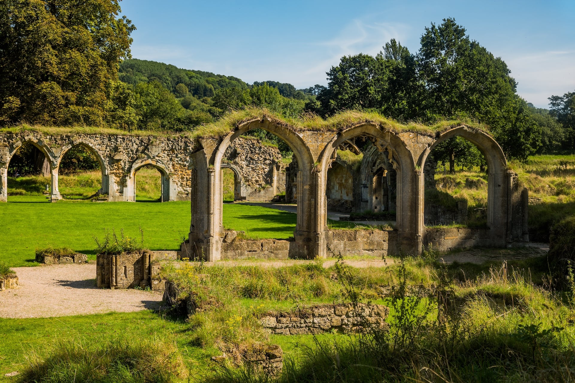
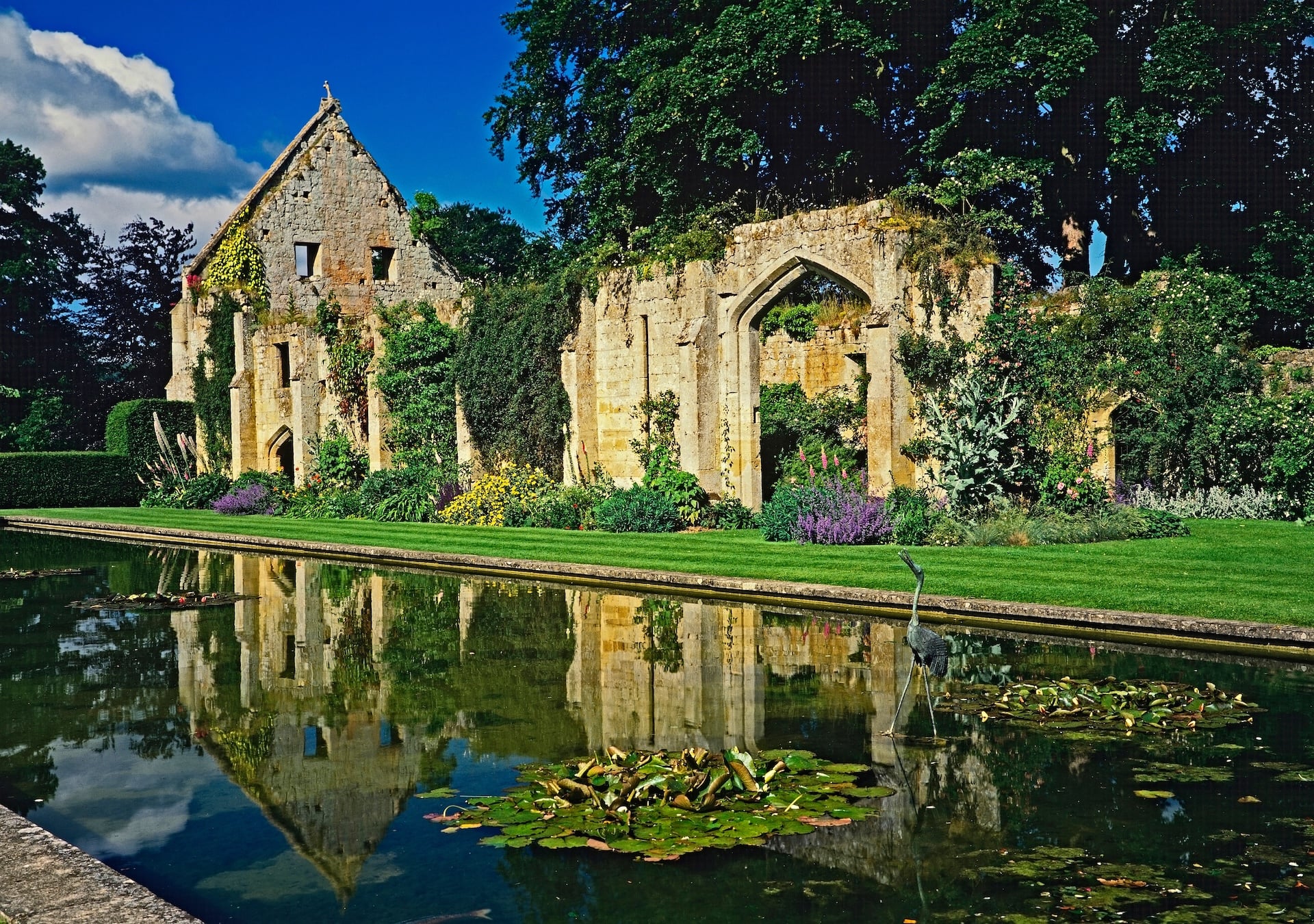
Two things sit within a short walk. Sudeley Castle holds the tomb of Katherine Parr, the last of Henry VIII's six wives, who died there in 1548 and is the only private castle in England with a queen buried in its grounds. Hailes Abbey, a Cistercian house founded in 1246, drew medieval pilgrims to a phial said to hold the blood of Christ. Belas Knap above the town is 5,000 years old, a Neolithic long barrow 54 metres long, with a false entrance and 4 burial chambers.
Stow-on-the-Wold
Stow sits at 240 metres on an exposed hilltop where 8 roads meet, which is why it grew into a market town and why the local saying runs that the wind blows cold there. Its square once held a sheep fair that traded 20,000 animals in a day.
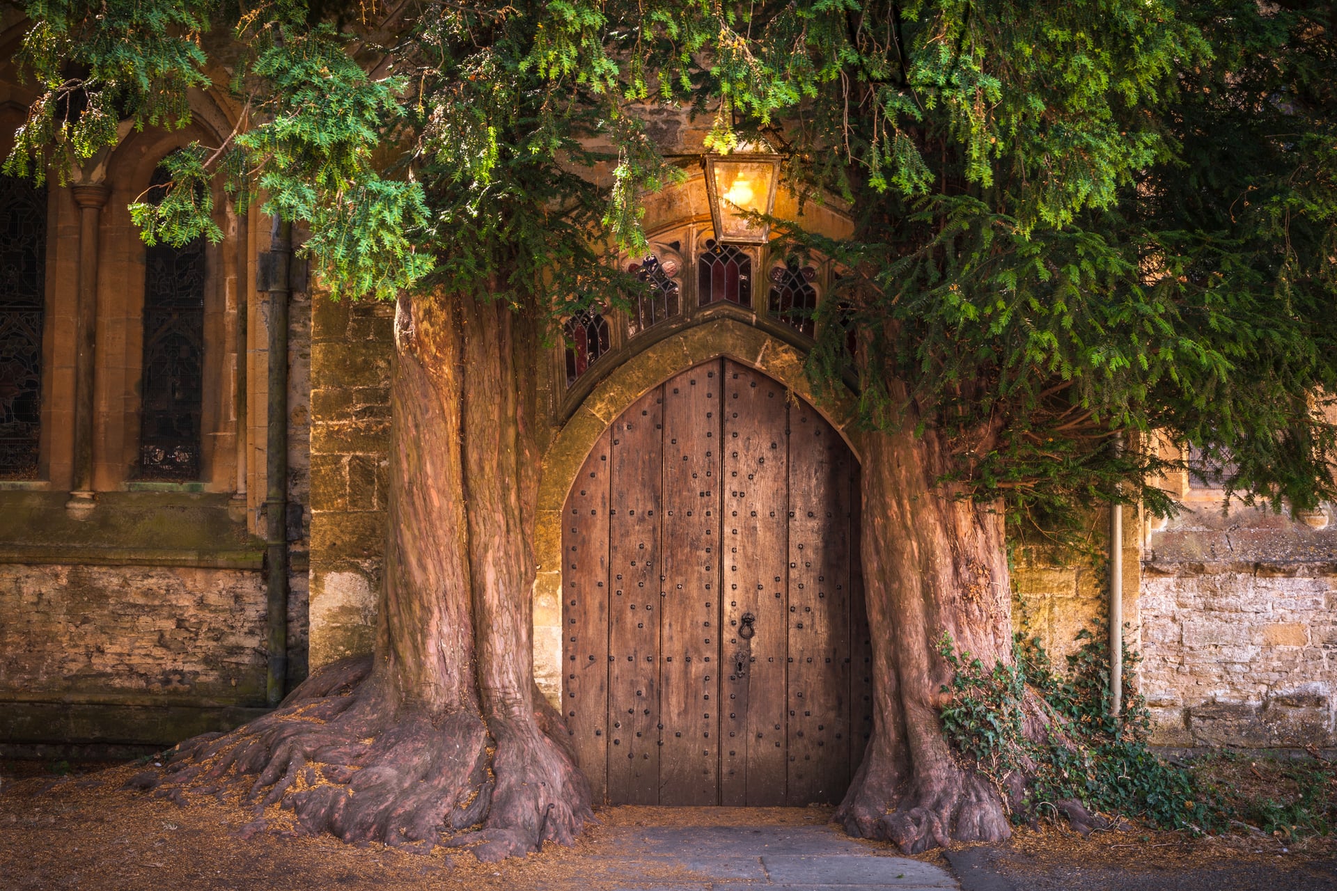
The thing walkers come for is the north door of St Edward's Church, a low stone arch flanked by two ancient yews that have grown around it. It is widely said to have inspired the Doors of Durin in Tolkien, which is unproven and entirely believable when you stand in front of it.
Painswick
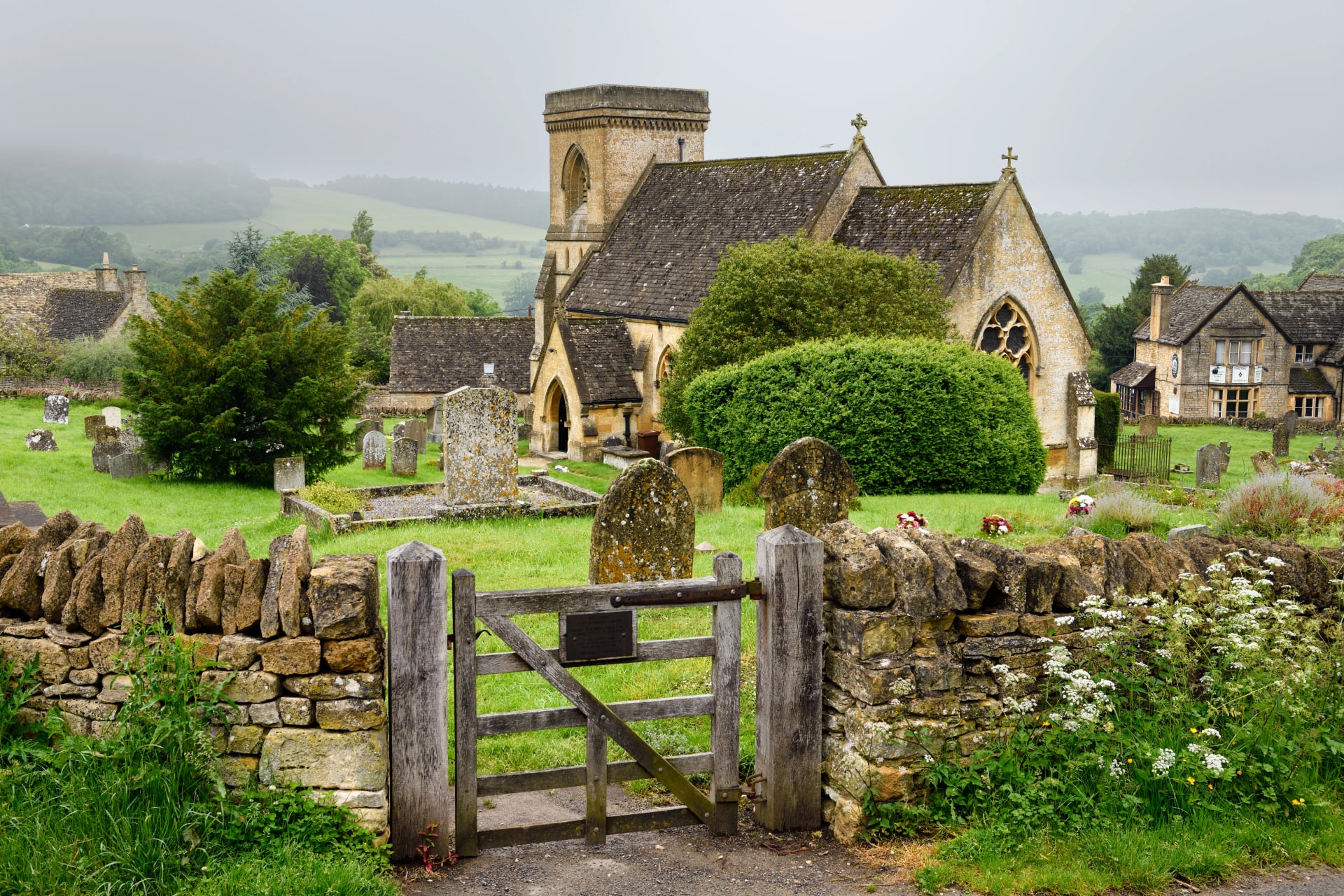
Known locally as the Queen of the Cotswolds, Painswick sits on the southern half of the trail with a churchyard famous for its yews, traditionally counted at 99 and clipped each autumn since the 1790s. The village is built of a paler stone than the north, and its streets are narrow enough that two cars cannot pass.
Painswick Beacon above the village is an Iron Age hillfort at 283 metres, and the view from it west over the Severn is the best on the southern half of the Cotswold Way. This is the point where the walking changes character, from the busy villages of the north to the quieter, steeper, more wooded south.
Bibury
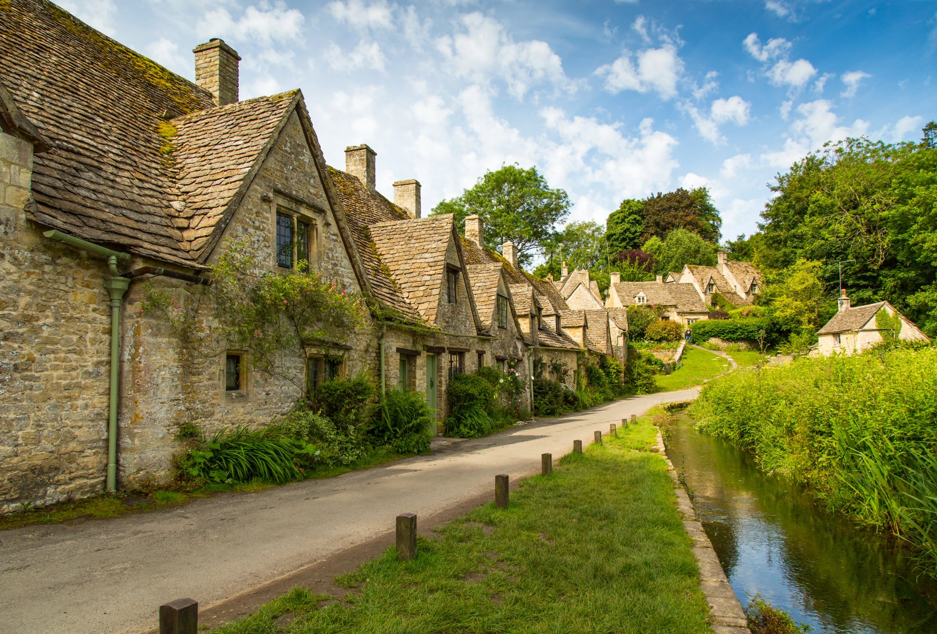
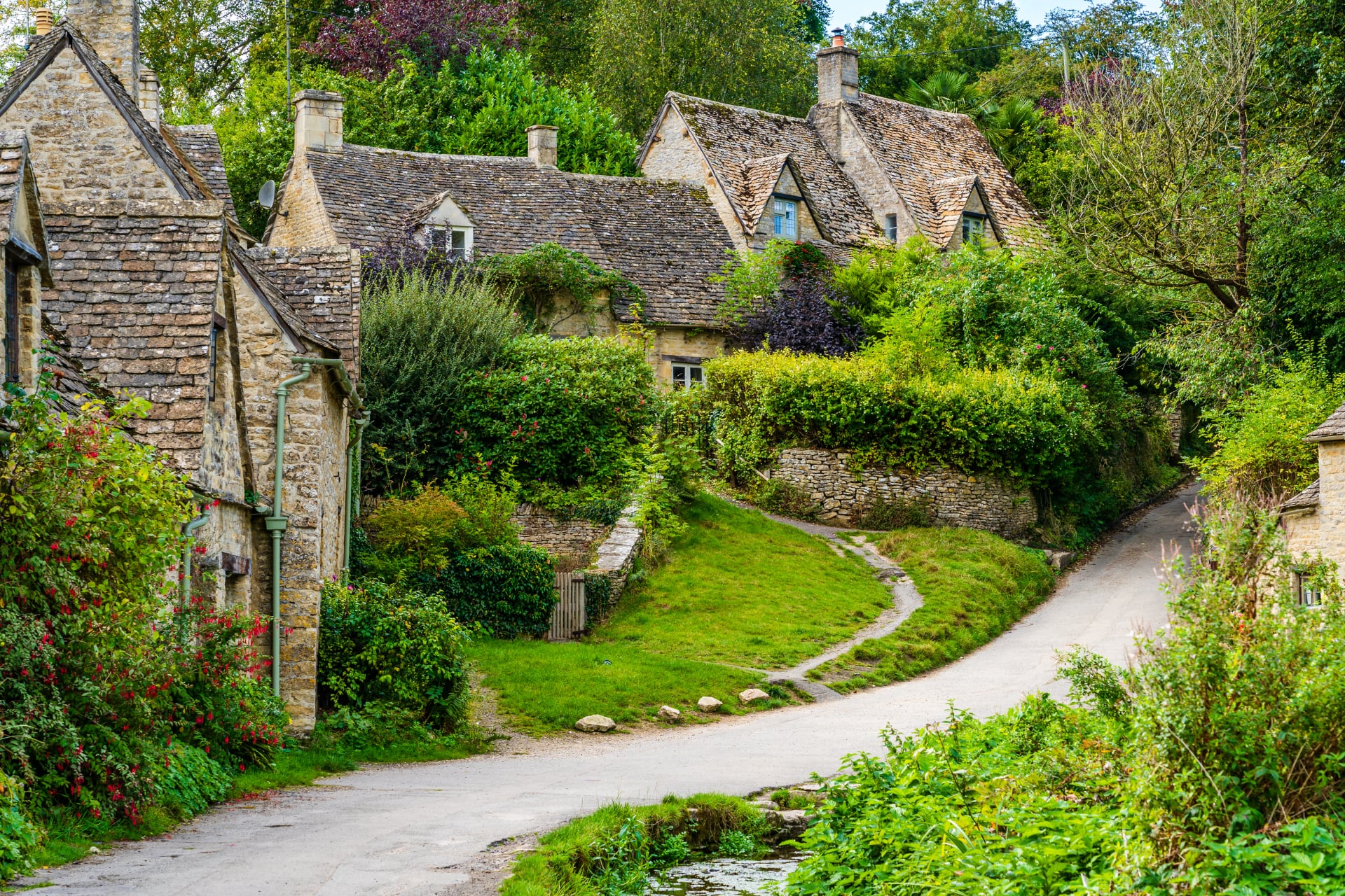
Bibury sits off the Cotswold Way in the Coln valley and is worth the detour for one street. Arlington Row is a terrace of 9 cottages built as a wool store around 1380 and converted to weavers' housing in the seventeenth century, and William Morris is generally credited with calling Bibury the most beautiful village in England.
It is also, by any measure, extremely busy. The row appears inside the cover of British passports issued between 2010 and 2020, and the coaches arrive from ten in the morning. Walk in from Coln St Aldwyns before nine and you get it to yourself, which is the general rule for every famous Cotswold village.
Bourton and the Slaughters
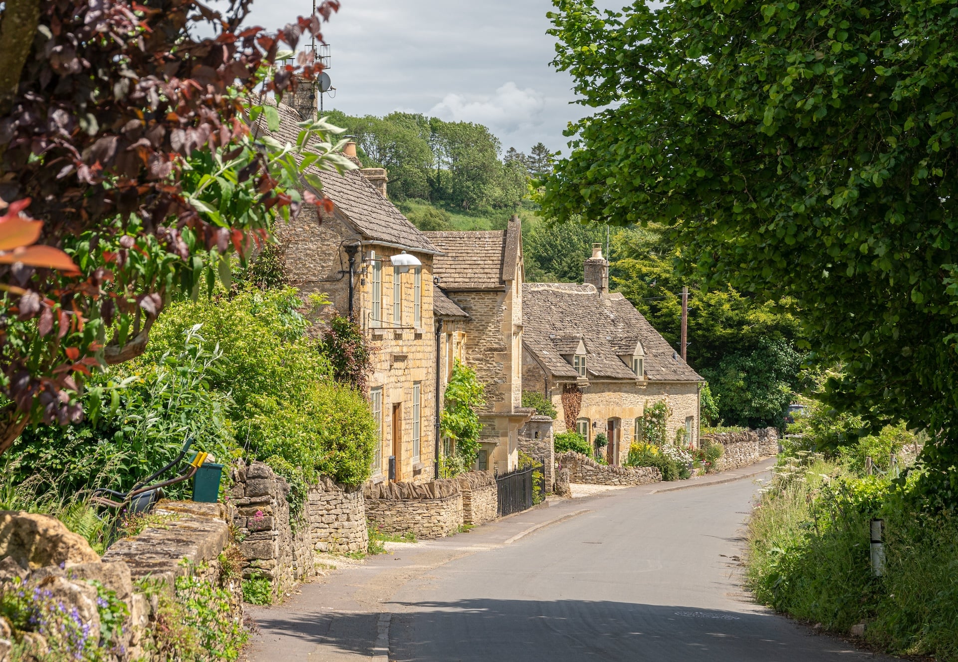
Bourton is the most visited village in the Cotswolds, with the River Windrush running down its main street under 5 low stone footbridges built between 1654 and 1953. In August it is packed. Arrive on foot in the early morning or in October and it is a different place entirely.
The far better walk is the 2 kilometres north to Lower and Upper Slaughter, which are quiet in a way Bourton never is. The name puts people off and it should not: Slaughter comes from the Old English slohtre, meaning a muddy place, and has nothing to do with killing anything.
The Best Walks in the Cotswolds
Beyond the Cotswold Way there are three other lines worth knowing, and we run none of them. The Cotswold Round is a 349 kilometre circuit that uses the Cotswold Way as its western side, usually walked in two to three weeks. The Windrush Way and Warden's Way each run about 22 kilometres between Winchcombe and Bourton, giving a neat two-day out and back. The Thames Path starts in the southern Cotswolds near Kemble and heads east.
For single days, the classics are the Broadway Tower circuit from Broadway at about 8 kilometres, the Slaughters loop from Bourton, Cleeve Common from Winchcombe for the highest ground, and the Painswick Beacon round for the best view on the southern half. All four are half-day walks and all four are free, which makes them the obvious use of a rest day.
The Wool Trade in the Cotswolds
Every honey-coloured village you walk through was paid for by sheep. From the thirteenth century to the sixteenth the Cotswolds ran the most valuable wool in Europe, produced by a long-fleeced breed called the Cotswold Lion, and the fleeces went to Flanders and Florence rather than to English looms. England was shipping roughly 30,000 sacks of raw wool a year by the early 1300s, and wool paid for most of what the country imported.
The money went into buildings, which is why the walking is what it is. Merchants funded enormous churches in small places, and the so-called wool churches at Northleach, Cirencester and Chipping Campden are cathedral-scale buildings in market towns, and Northleach still has fewer than 2,000 people. You are walking through the profits of a medieval export boom, preserved because the money then left.
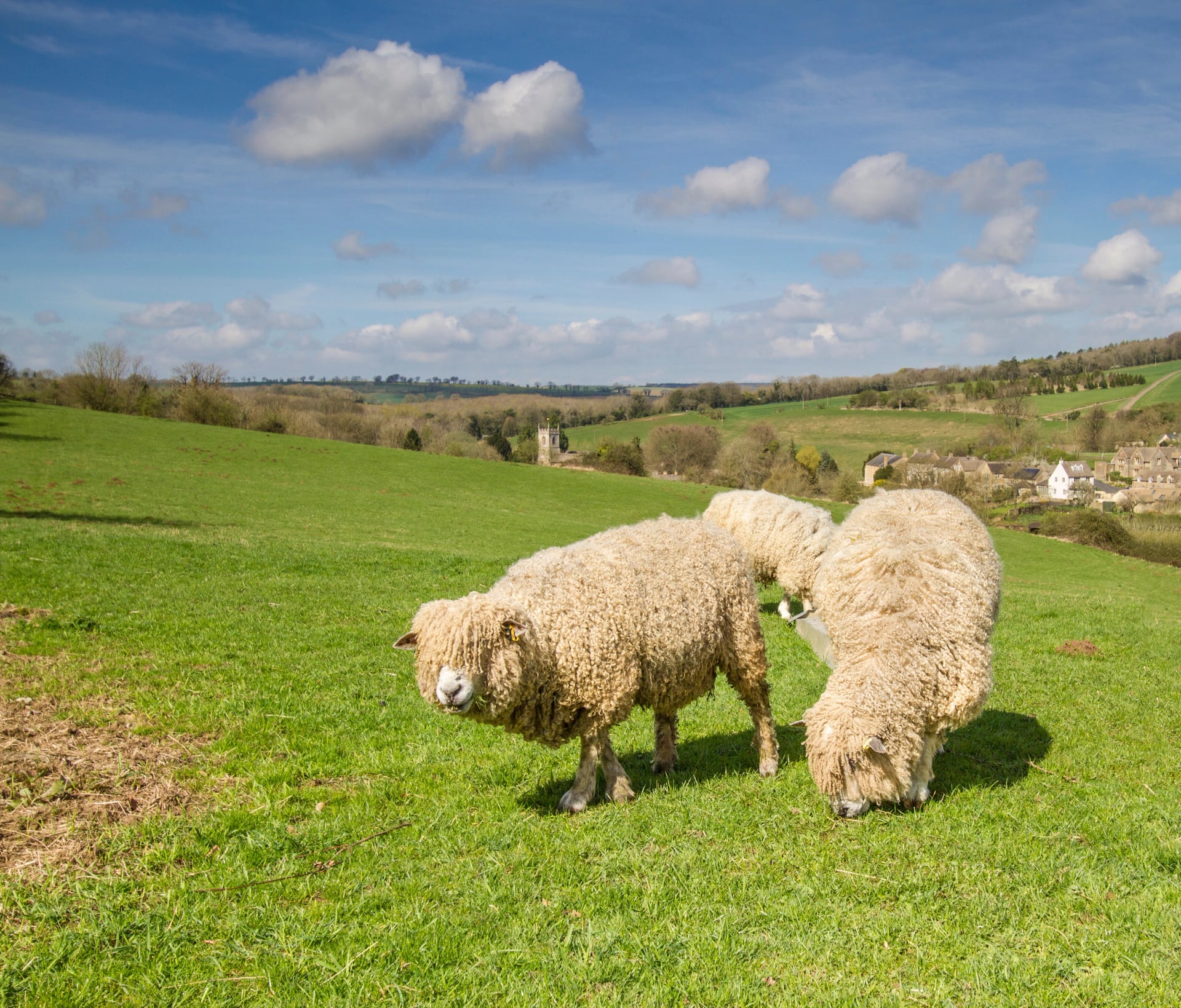
That collapse is the second half of the story. When the trade moved to Yorkshire and the mills went north, the Cotswolds became too poor to rebuild, and the seventeenth-century villages simply stayed standing. The region is beautiful today because it was impoverished for three hundred years, which is the opposite of how most people assume it happened.
The Ground Underfoot
Cotswold walking is easy on the legs and occasionally hard on the patience. The paths cross working arable and pasture, which means the surface changes with the season and the crop rotation rather than with the terrain. In May a field path is a mown line through wheat. In February the same path is heavy clay.
Limestone underneath drains well, and that is the region's great advantage: the high ground stays walkable when the north of England is saturated. The valley bottoms are the exception, because the clay sits there. Mud is the only real obstacle the Cotswolds offer, and gaiters in winter do more for you here than boots.
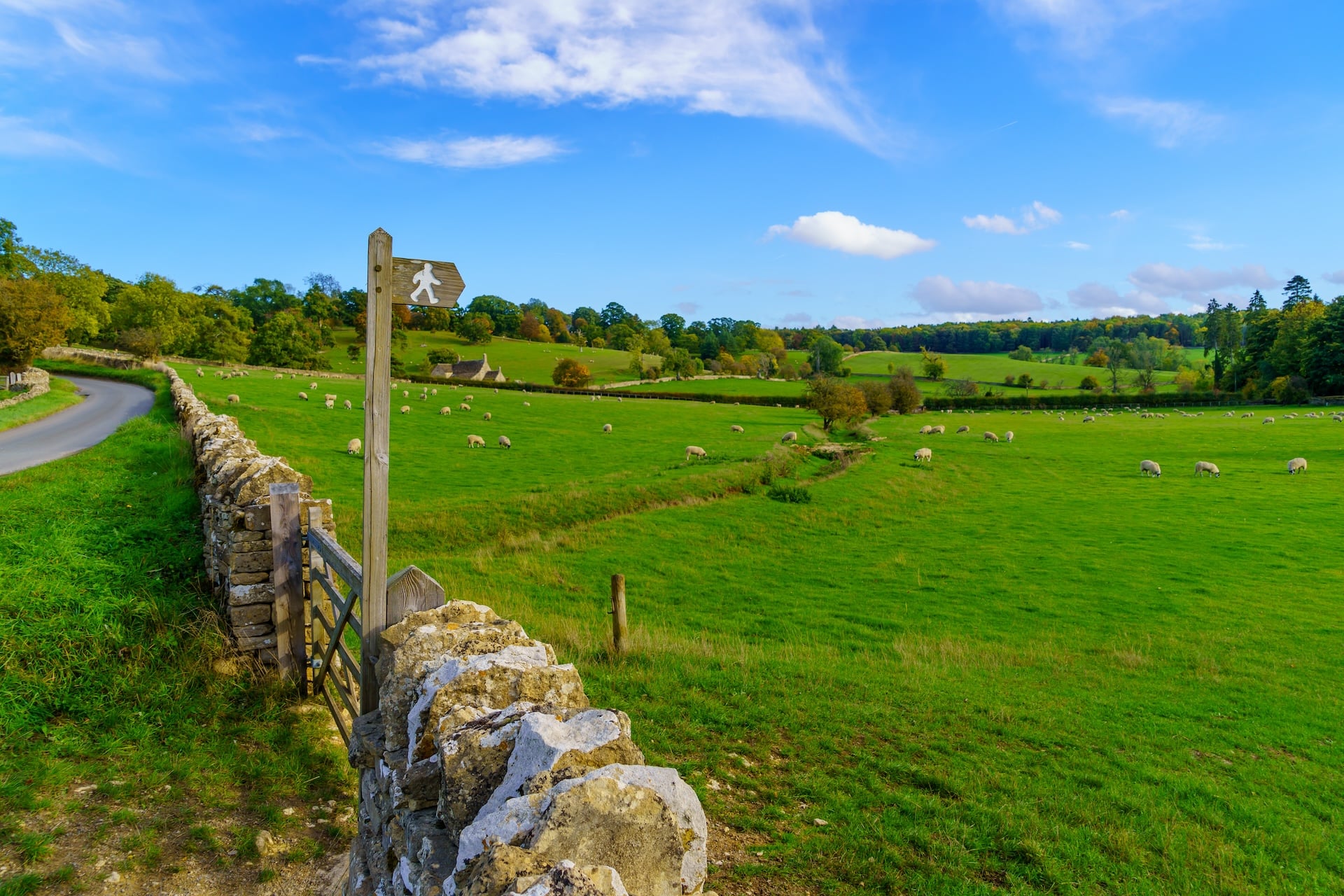
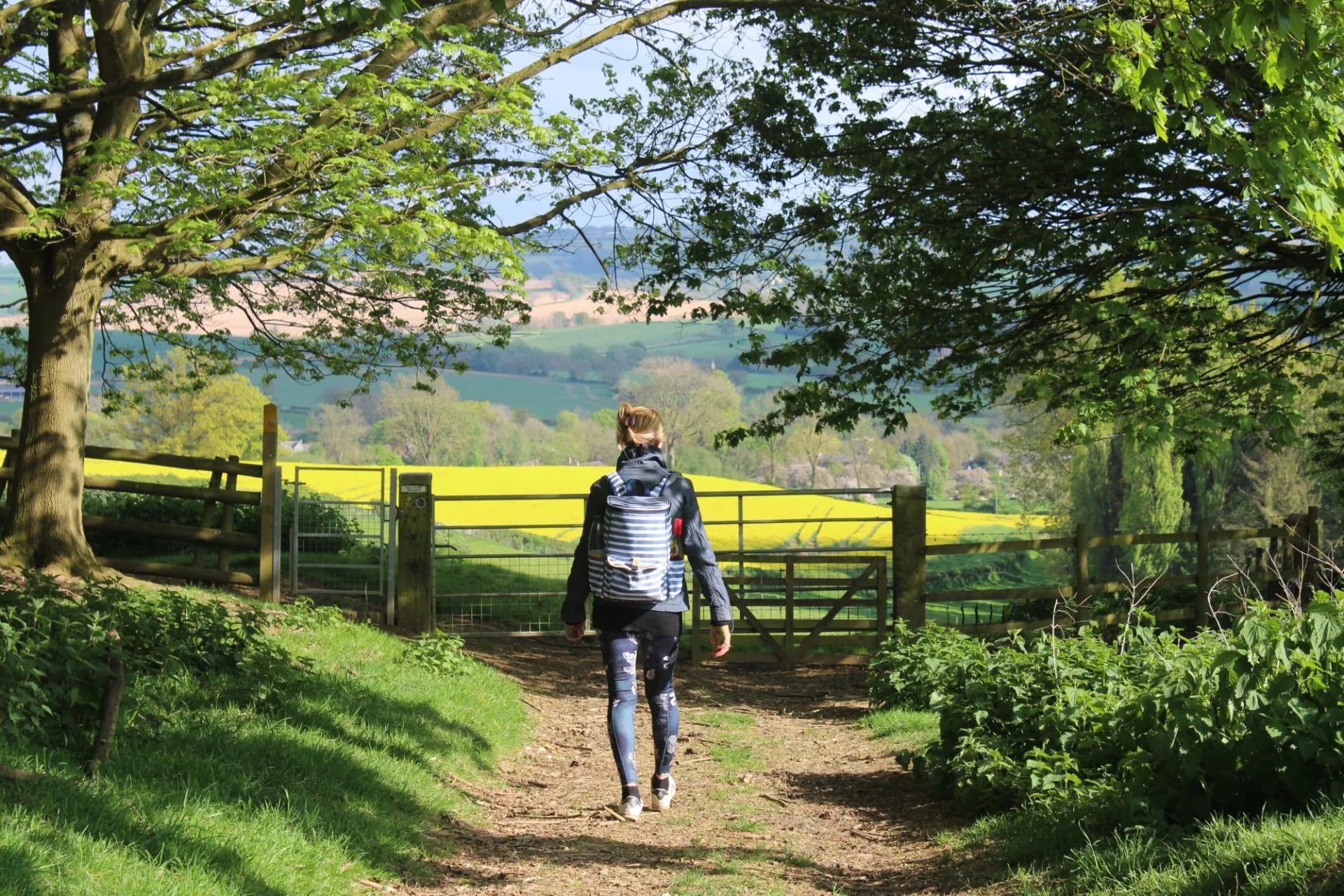
The other feature is the field furniture. Because these are rights of way across farmland, the route crosses boundaries constantly: kissing gates, squeeze stiles, step stiles set into drystone walls. A day can include 40 of them. Drystone walling here is a living craft, built without mortar in a distinctive Cotswold style with a top course of upright stones.
Where to Stay in the Cotswolds
The Cotswolds have the easiest accommodation of any British walking region, because the market towns were built to house travellers and never stopped. Coaching inns on the old roads, village pubs with rooms above them and small hotels in converted wool merchants' houses cover nearly every stage of the Cotswold Way.
The standard is high and so are the prices, particularly at the northern end and in high summer. Book the Cotswold Way villages months rather than weeks ahead, because Stanton has one pub, and small places on a National Trail fill from May onwards. Our routes use three-star hotels with breakfast, and luggage moves ahead by road each morning.
Below that tier the options thin out compared with the Lakes or Snowdonia. There are a handful of youth hostels and some camping, but no bunkhouse or bothy culture here at all. This is a region that expects you to sleep indoors, and pricing your trip on that basis is realistic.
How Hard Is Cotswolds Hiking?
This is the easiest multi-day walking in England, and the difficulty comes from distance rather than terrain. Days run 15 to 20 kilometres with 200 to 450 metres of ascent, and the steepest single climb on the whole trail gains under 250 metres, spread across many small climbs on and off the escarpment. Nothing is exposed, nothing needs a scramble, and the highest point in the entire region is 330 metres.
Both of our Cotswolds routes rate 2 out of 5 for fitness and 2 for technique, which puts them among the gentlest trips in our English range. If you can walk for five hours on consecutive days you are ready, and the hiking difficulty guide explains how the ratings translate. What does catch people out is more mundane than mountains.
Navigation is fiddlier than the terrain suggests. Off the waymarked Cotswold Way, field paths cross open ground with no visible line, and a GPS track earns its keep.
Distance without landmarks tires people. Twenty kilometres of gentle farmland can feel longer than twelve in the hills.
Mud in the valley bottoms. Clay underfoot from November to March, sometimes ankle deep on bridleways.
Livestock in the fields. Cattle with calves are the one real hazard, and going round a field beats crossing it.
Shade is scarce on the escarpment. The edge is open ground, and a hot July day there needs water carried.
Best Time to Hike the Cotswolds
The season here is longer than anywhere else in upland England, because the ground drains and the altitude is low. Walking is possible year-round, and the two shoulder seasons are clearly the best.
May and September are the two windows worth building a trip around. May gives bluebells in the hanging beech woods along the escarpment and the driest ground of the year. September gives the harvest finished, the paths reopened across stubble, and the villages back to something like normal after August.
Winter deserves a mention rather than a warning. The Cotswolds are one of the few British walking regions that work in January, provided you accept mud and short days. The views from the edge are at their longest in cold clear air, and a fire in a seventeenth-century inn is a reasonable reward.
Getting to the Cotswolds by Train
The region is unusually well connected for open countryside. Moreton-in-Marsh sits on the direct line from London Paddington, roughly 90 minutes away, and Kemble, Stroud, Cheltenham and Bath all have mainline stations too. The Cotswold Way finishes a short walk from Bath station, and its start at Chipping Campden is 6 kilometres from Moreton-in-Marsh by local bus or taxi, which is close for a National Trail.
Between the villages, buses are thinner and Sunday services are close to non-existent. Plan the route so you never depend on a rural bus, which a point-to-point walk with luggage transfer solves by design. Cheltenham and Bath are the two obvious arrival and departure points for the northern and southern halves.
Access and Rights of Way
The Cotswolds are almost entirely private farmland, and the walking depends on the public rights of way network rather than open access. There is very little CROW open access land here, so unlike the Lake District you cannot simply roam: you follow the recorded path, and off it you have no right to be.
In practice this is invisible, because the network is dense and well signed. Ordnance Survey Explorer sheets OL45 and 168 cover most of the walking. Wild camping needs the landowner's permission everywhere in the Cotswolds, and given the density of inns there is little reason to try. Keep dogs on leads through stock fields, and leave gates as you found them.
Cotswolds Walking Holidays
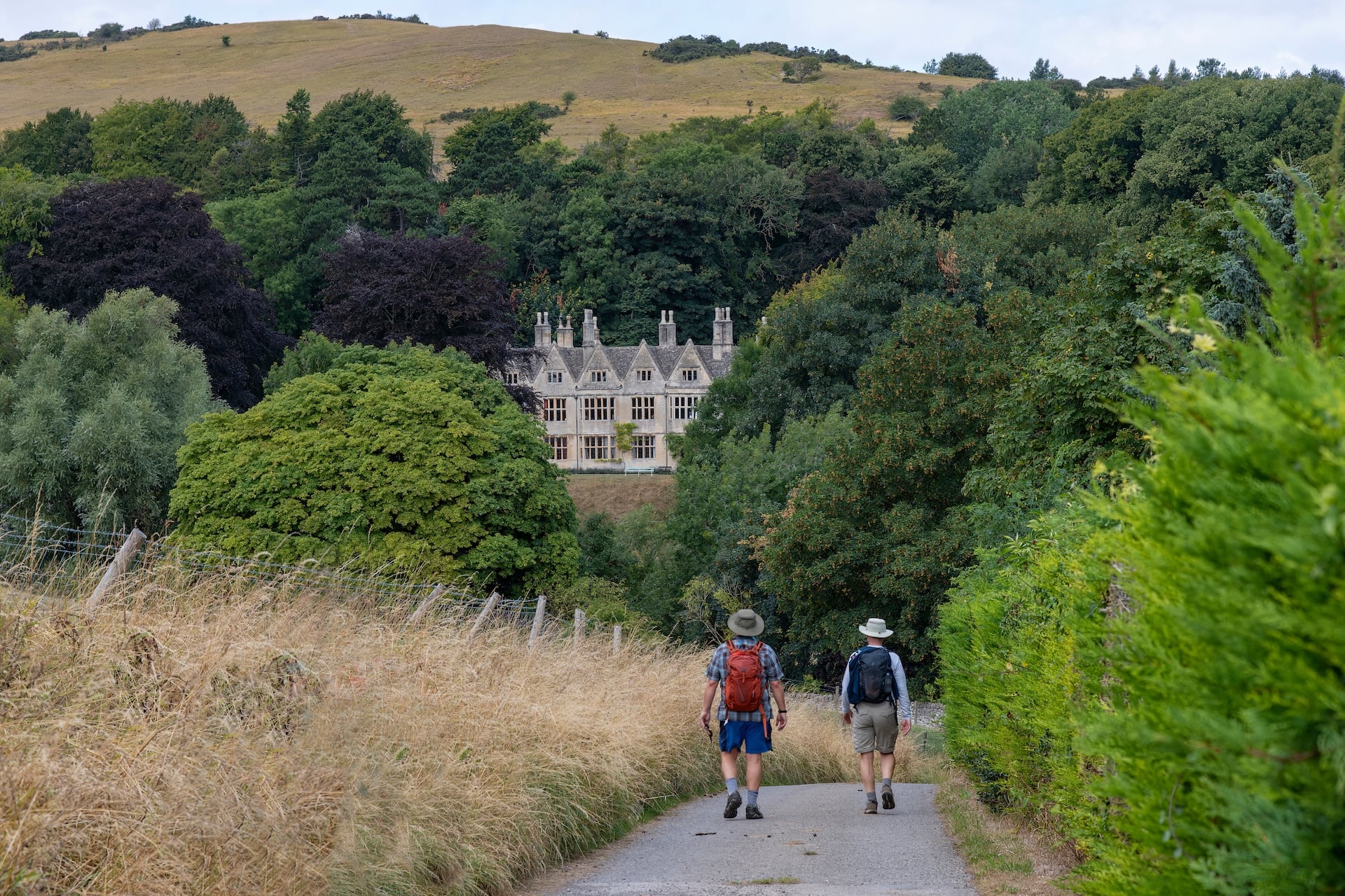
The choice is between following the escarpment and wandering the villages behind it. The escarpment gives you the trail, the views and the monuments; the dip slope gives you more villages, shorter days and a circular route that needs no logistics at either end. Our two Cotswolds trips are built on that split: Cotswolds Highlights follows the escarpment on the Cotswold Way, and the Cotswolds Village to Village Loop circles the dip slope villages from Moreton-in-Marsh.
Still deciding between the escarpment and the villages, or between five days and eight? Get in touch and we will match the route, the pace and the villages to the time you have.
Frequently Asked Questions

About this author
Jon is our travel advisor and an outdoor adventurer who is happiest on the move. While mountain biking is his personal passion, he thrives on crafting hiking adventures for others — planning routes and adding the little touches that turn a trip into a core memory.









.jpg&w=828&q=75)





















































.jpg&w=828&q=75)






















