Lake District Hiking: How to Read the Fells
Lake District hiking explained: how the valleys are laid out, the 214 Wainwrights, the ground underfoot, the rain, and the two months worth planning around.

Jon
Published August 11, 2026
Edited September 24, 2026
26 min read
Quick links
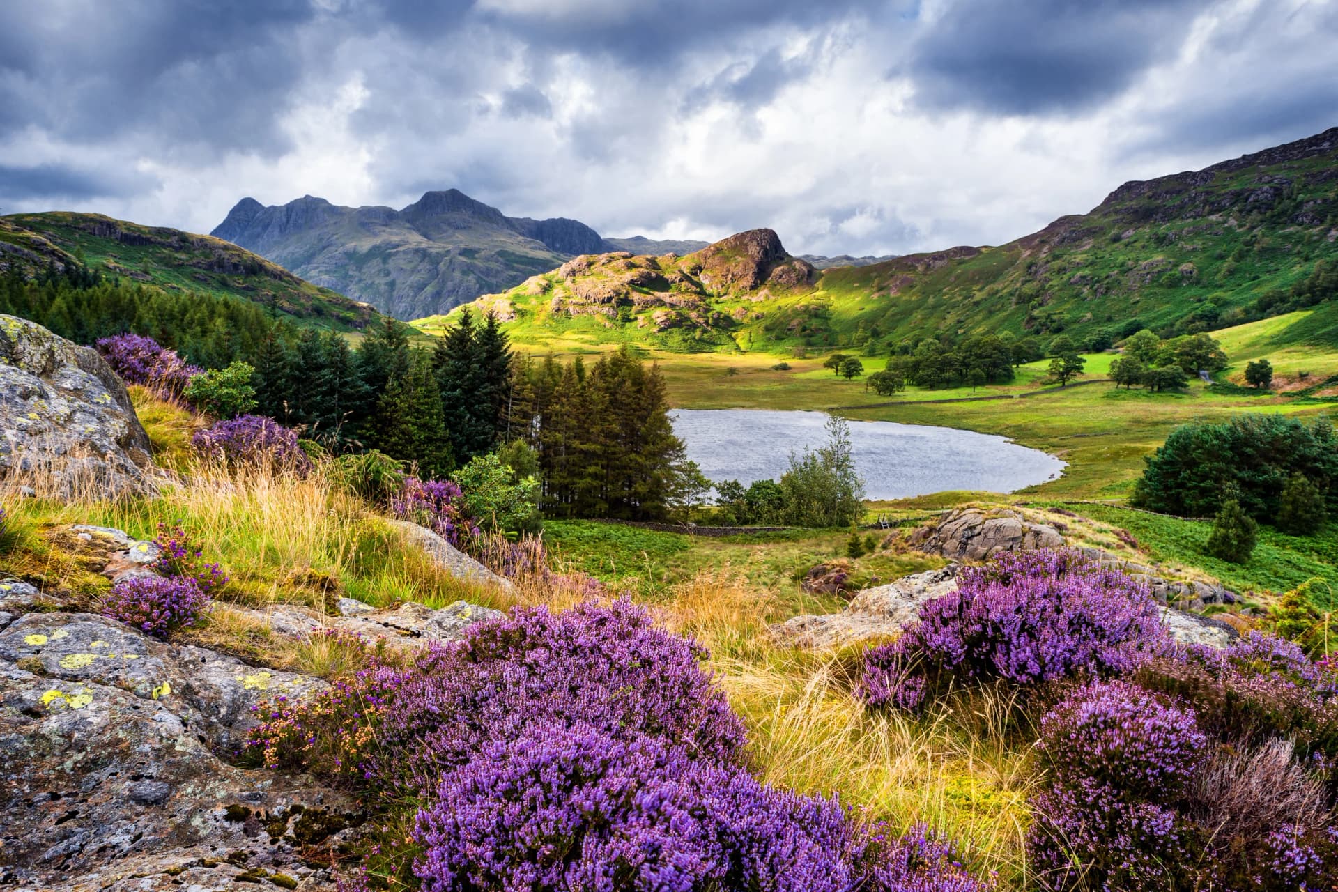
The Lake District is the smallest mountain range that behaves like a big one. It covers about 2,360 square kilometres, holds every fell in England over 900 metres, and packs enough distinct country into that space that two valleys an hour apart can feel like different nations.
It is also the most misread walking destination in Britain. Visitors arrive expecting lakes and find that the lakes are the least of it: the interest sits in the fells above them, in the valleys that radiate out from the centre, and in a farming landscape that has been worked continuously for a thousand years. Everything here works from the centre outwards, and once you see that, the map stops looking like a puzzle.
All three run self-guided with a digital guidebook, GPS routes and luggage moved ahead by road, so you walk with a daypack and choose your own start date. For the wider picture of British walking, read our guide to hiking in the UK.
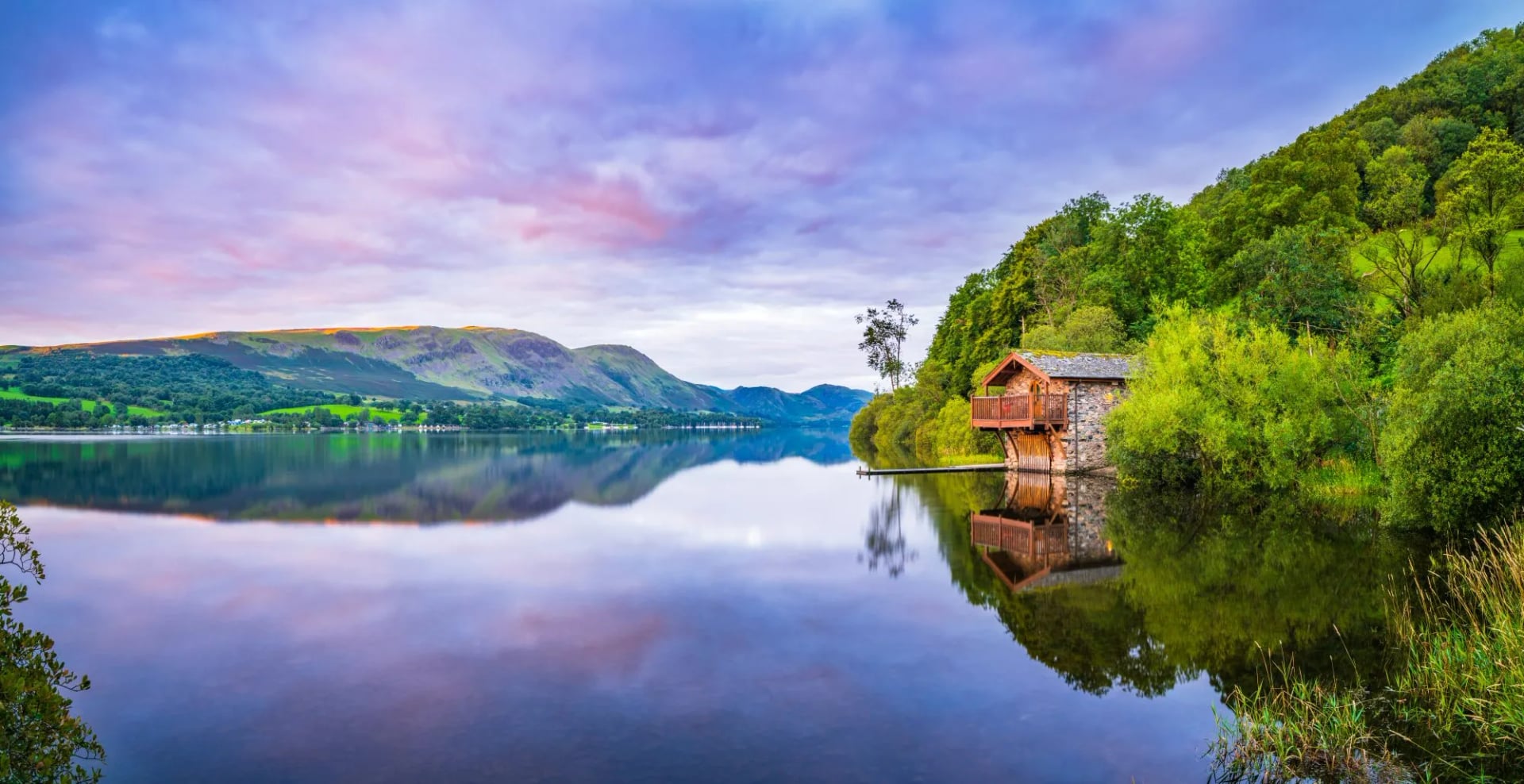
Start with the naming, because it tells you what kind of place this is. There is only one lake in the Lake District. Bassenthwaite Lake is the sole body of water in the district actually called a lake, and every other one is a mere, a water or a tarn: Windermere, which at 17 kilometres is the largest natural lake in England, then Derwent Water and Red Tarn. Nobody planned that. It is what happens when Norse settlers name a landscape and nobody ever gets round to standardising it.
Lake District hiking rewards understanding the shape of the place before you book anything. Which valley you sleep in decides what you can walk, how much company you have, and whether you spend your week on lakeshores or on rock. This guide covers that shape first, then the fells, the ground underfoot, the rain, and when to come.
How the Lake District Is Put Together
The district is a dome. A mass of ancient rock was pushed up, ice sat on top of it, and as the ice moved outward it cut valleys down the flanks in every direction. That single fact explains the whole map. The valleys radiate from the centre like spokes on a wheel, each holding a lake or two along its floor, with high ground between every neighbouring pair.
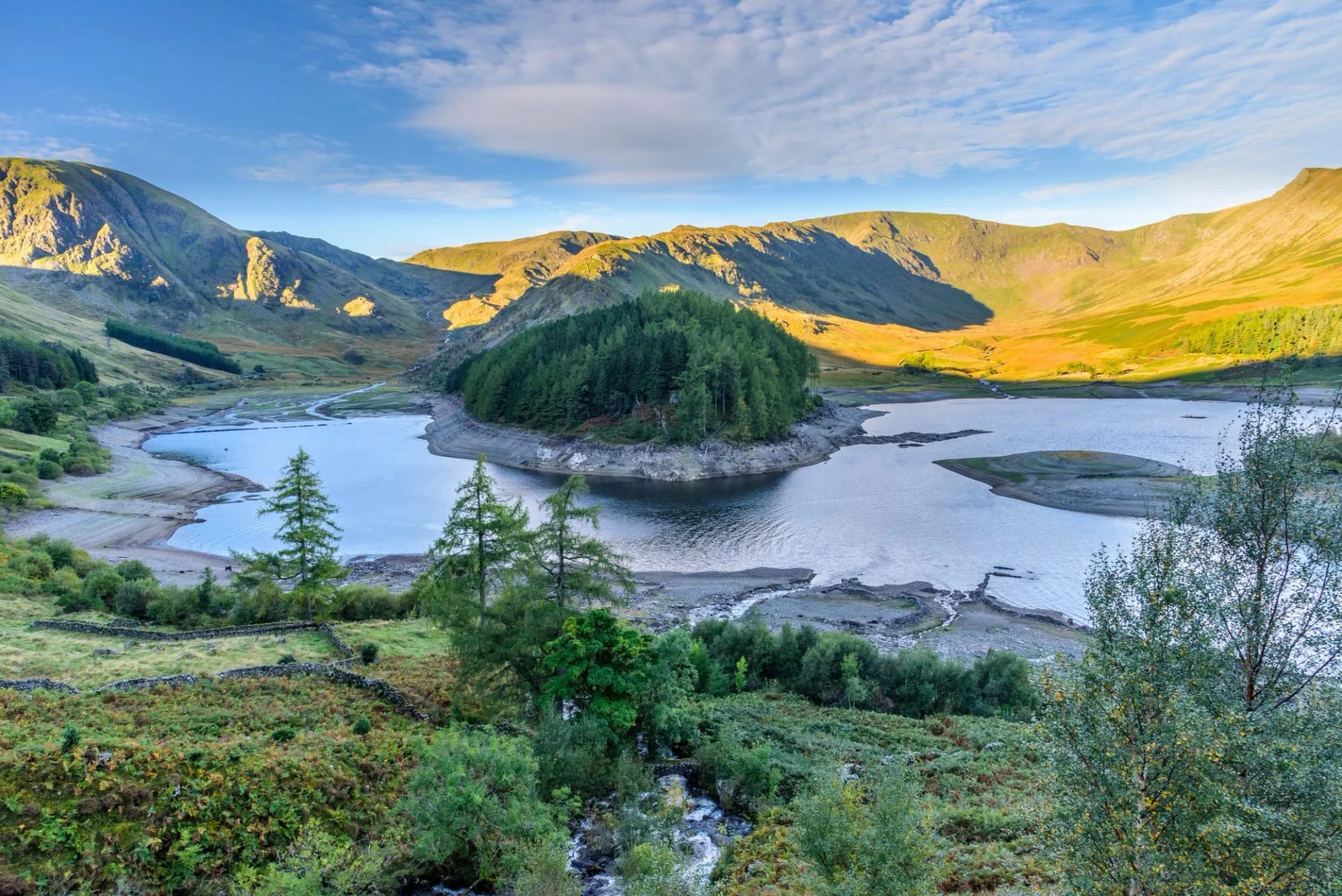
The practical consequence is that neighbouring valleys can be a long way apart on foot. Wasdale and Borrowdale are eight kilometres apart as the crow flies and separated by the highest ground in England. Getting between them means crossing a pass, and passes here are steep. Locals plan by valley, and so should you.
Read the map below from the middle out and it becomes simple. The highest ground sits at the hub around Scafell Pike, the lakes point outwards down the spokes, and the villages sit where each valley flattens. Choosing a base means choosing a spoke. The rock changes as you go, and you can feel it underfoot. The northern fells around Skiddaw, 931 metres and the fourth highest in England, are built of old slate that weathers to smooth, grassy, rounded whalebacks. The central fells from Borrowdale to Langdale are volcanic, and they give the crags, the scree and the rough rock that most people picture. The south is gentler limestone and slate, with woodland and smaller water.
The valleys and lakes spread outward from the high ground at the middle
Ullswater and the North East
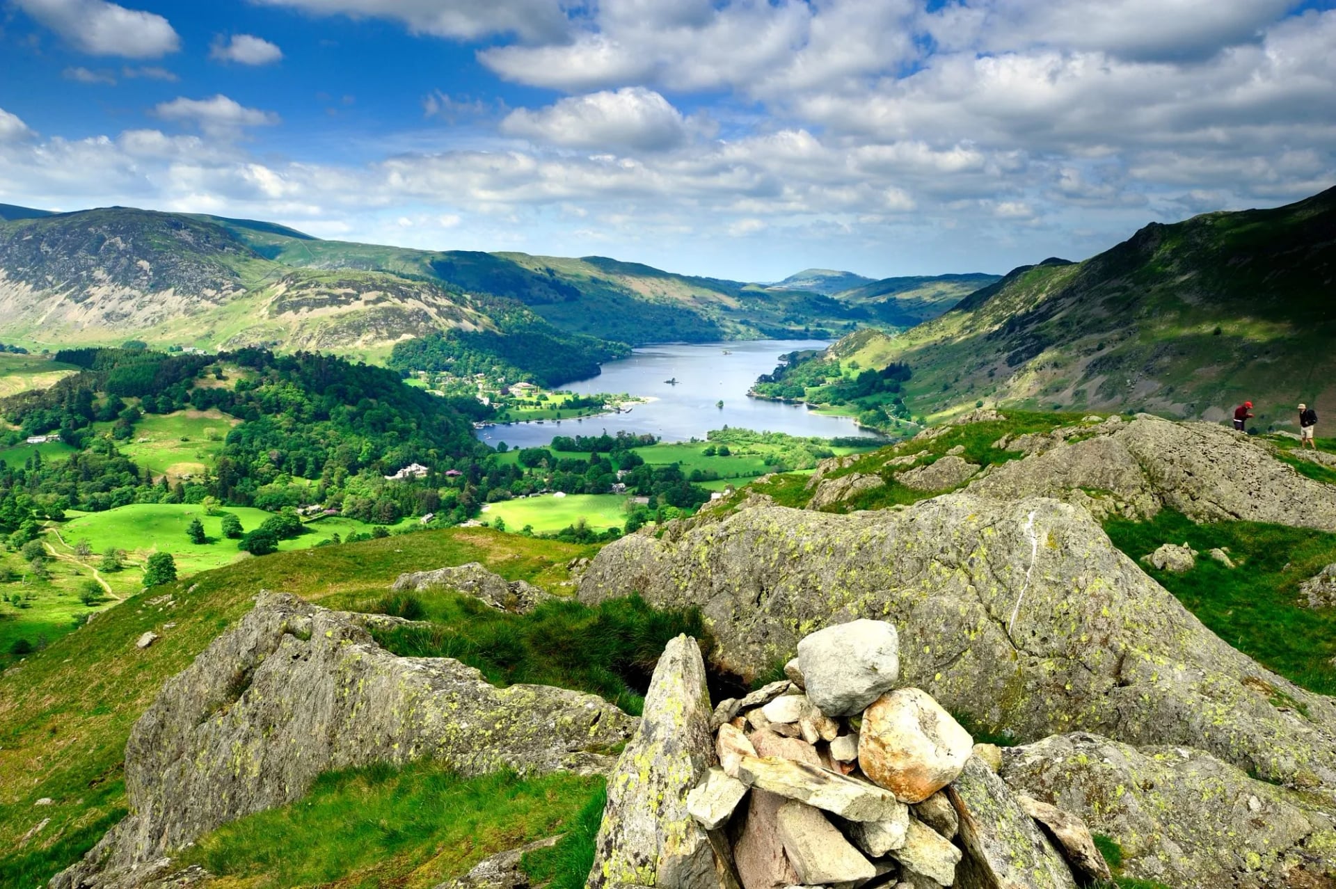
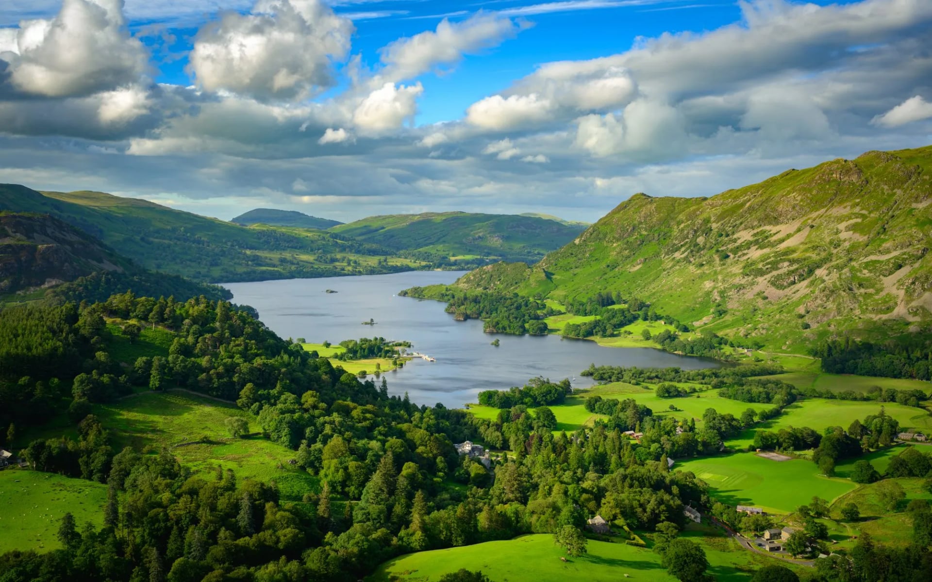
Ullswater is the second largest of the lakes at around 14 kilometres, shaped like a dog-leg with three distinct reaches, and it has the best lakeshore walking in the district. The 11 kilometre eastern shore path from Howtown to Glenridding is often called the finest low-level walk in England, and it earns that with a route that clings to the water under crags with no road on that side at all.
Above it sits Helvellyn and the whole eastern ridge system. That combination is unusual: you can spend one day at lake level on a path a family could manage, and the next on an exposed ridge. This valley suits anyone who wants both registers in one week, which is why Lake District Escape bases itself here rather than in the centre.
Borrowdale and Buttermere
Borrowdale runs south from Keswick and Derwent Water into the heart of the district, narrowing at a point called the Jaws of Borrowdale where the valley closes to a gorge. It is the wettest valley in England and the greenest, with oak woodland on the slopes and a floor that floods. Everything about it is a consequence of rainfall.
Over Honister Pass, 356 metres at its summit, lie Buttermere and Crummock Water, two lakes in one glacial trough that were a single sheet of water until sediment split them. The circuit of Buttermere is about seven kilometres and is the most photographed easy walk in the Lakes. Go early or go in October, because the car parks fill by nine on any decent summer morning.
Wasdale
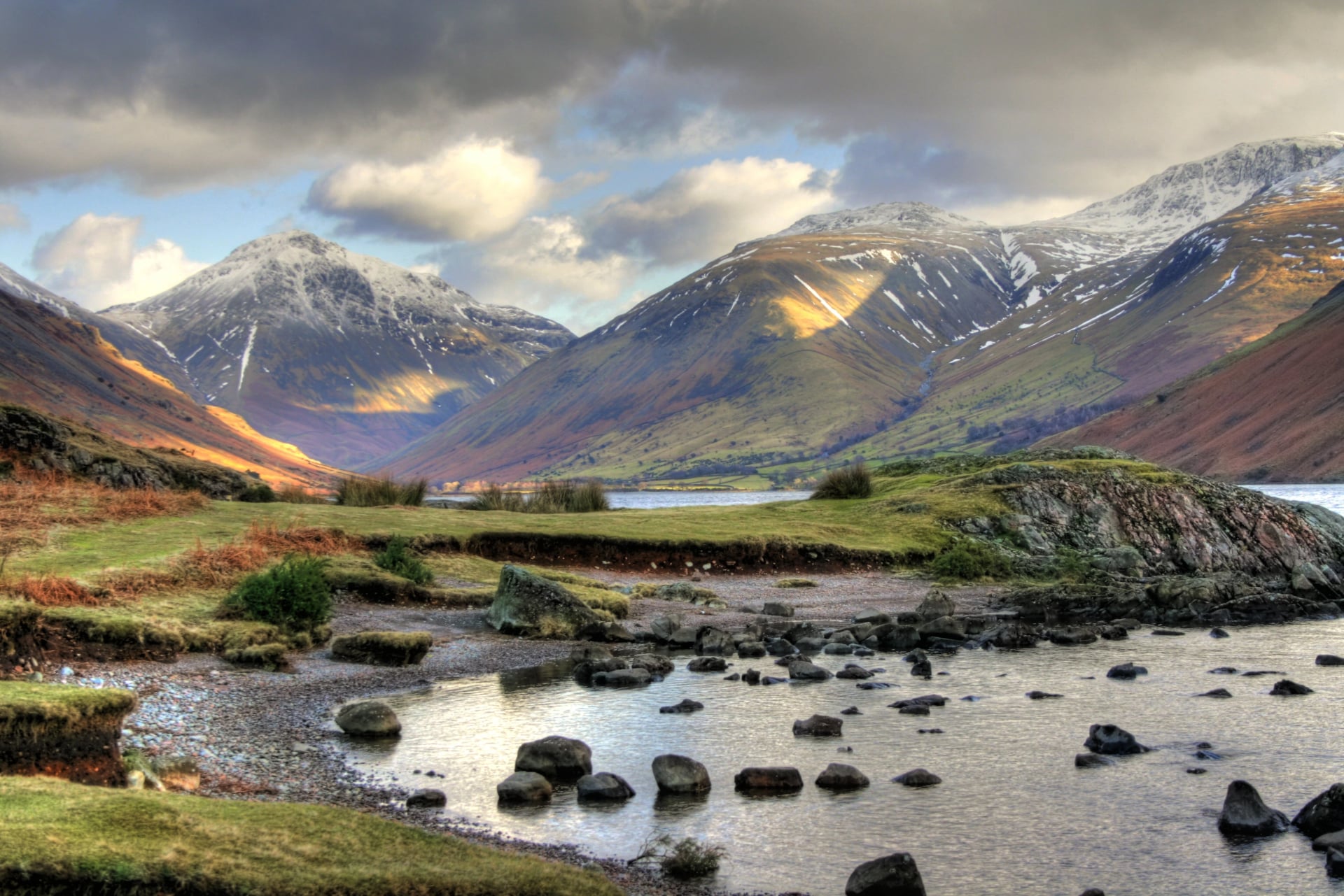
Wasdale is the serious one. The valley holds Wast Water, 4.8 kilometres long and the deepest lake in England at about 79 metres, with screes falling straight into it for nearly two kilometres on the southern side. At the head sits a hamlet, a church, an inn and almost nothing else, ringed by Scafell Pike, Sca Fell, Great Gable at 899 metres and Kirk Fell at 802.
This is where English rock climbing was invented in the 1880s, and the atmosphere still reflects that. There is no gift shop and no through road. Wasdale Head is the least comfortable and most rewarding base in the district, and Lake District & the Roof of England sleeps there on the night before Scafell Pike.
Eskdale and the Duddon
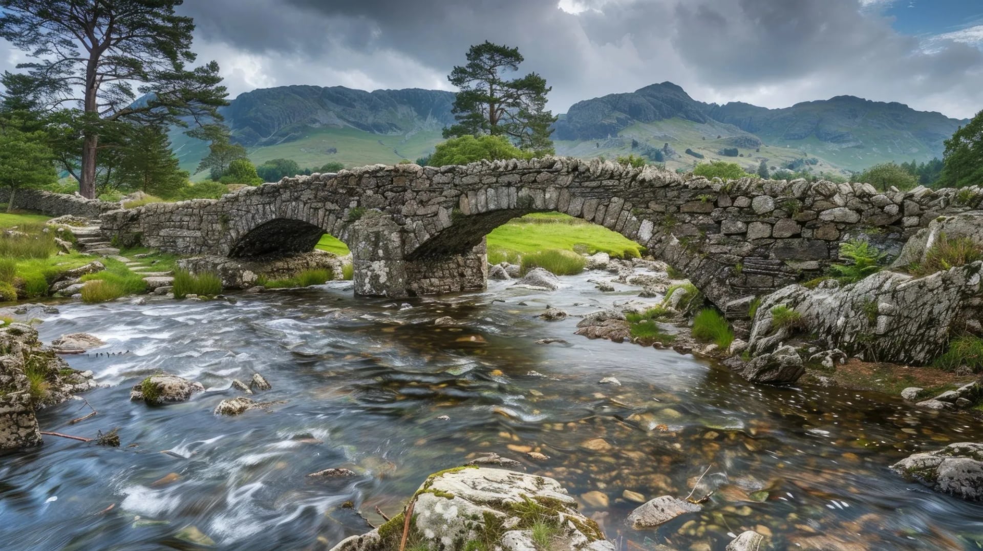
Two south-western valleys that most visitors never reach, because the roads in cross passes at one in three. Eskdale runs from the coast up to the foot of Scafell, with waterfalls, packhorse bridges and a 15 inch gauge railway that has carried passengers the 11 kilometres up from Ravenglass since 1875.
The Duddon next door was Wordsworth's favourite valley and he wrote 34 sonnets about it. Both dales are quiet, low and wooded in their lower reaches, with hard fell walking available at their heads. Come here if the honeypots have put you off, and expect to see more Herdwicks than people.
Langdale and Coniston
Great Langdale is the classic central valley: a flat green floor, a famous inn, and the Langdale Pikes, topped by Harrison Stickle at 736 metres, standing over it in a skyline so distinctive it appears on the national park's own logo. It is the shortest walk-in to high rock anywhere in the district, which makes it permanently busy and entirely worth it.
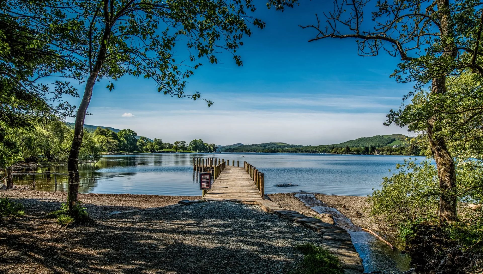
Coniston to the south is a working village before it is a resort, built on copper and slate, with the Old Man of Coniston at 803 metres rising directly behind it. Coniston Water runs about 8 kilometres and is the flattest of the big lakes and the reason Donald Campbell died there in 1967 chasing the water speed record. The mine workings on the Old Man make it the most industrial fell in England, and the most interesting to climb for it.
Lake District Hiking Trails: The Long Routes That Cross It
Two established long-distance routes run straight through the Lake District, and knowing them is useful even if you never walk either one, because they are the lines other walkers will measure your trip against. We walk one of the two and not the other, and it is worth being clear which.
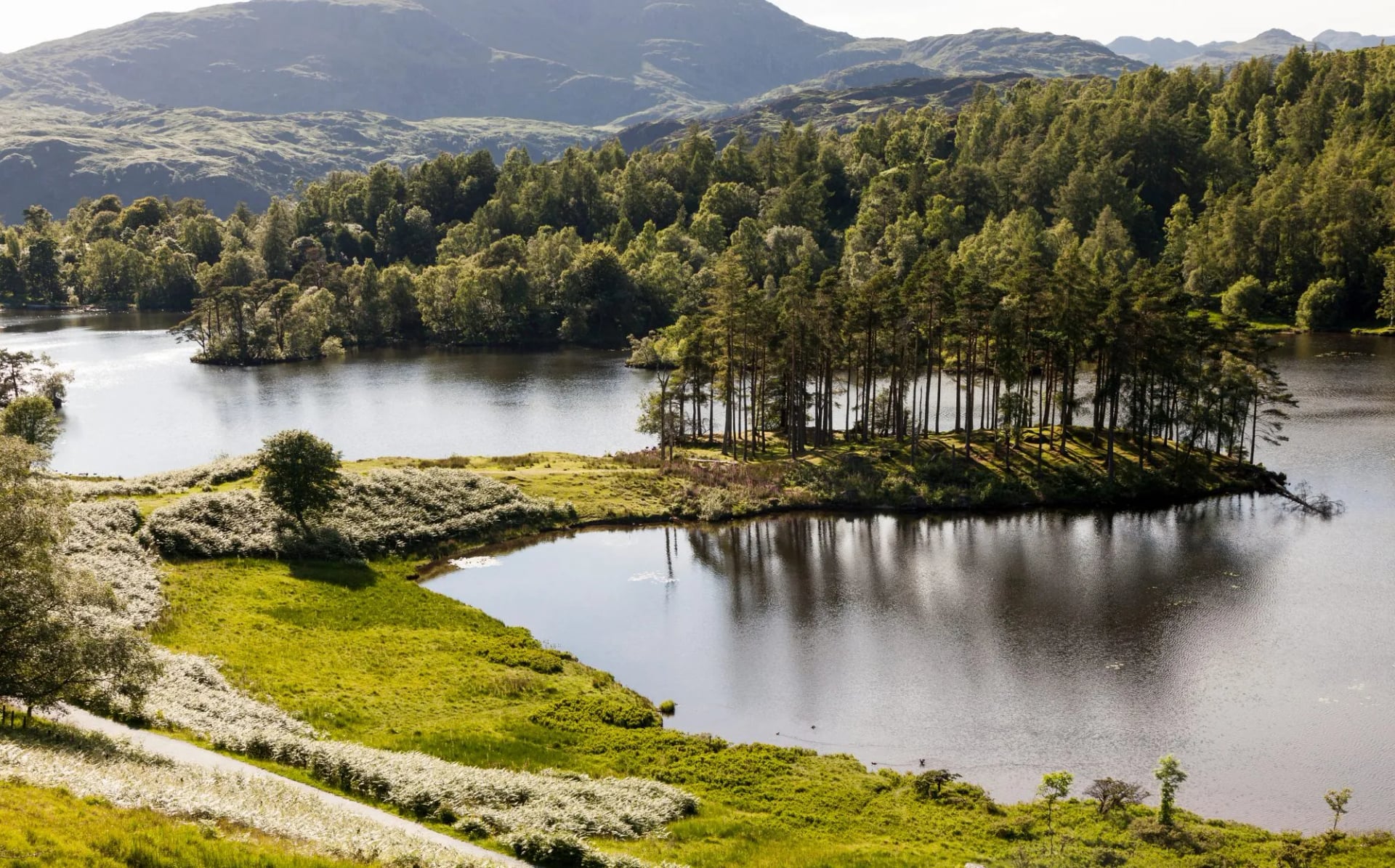
The Cumbria Way
The Cumbria Way covers 112 kilometres, or 70 miles, from Ulverston on Morecambe Bay to Carlisle, and it is the only route that threads the middle of the district end to end. It was devised in 1976 by the Lake District branch of the Ramblers, and it runs up through Coniston, Great Langdale, Borrowdale and Keswick before leaving the fells for the quiet commons around Caldbeck.
What makes it unusual is that it stays low. The route uses valley floors and passes instead of summits, which keeps the daily ascent modest and the navigation straightforward for a Lakeland week. Most walkers take five to seven days. Waymarking is patchy compared with a National Trail, so carry the maps rather than trusting the signs. We do not run the Cumbria Way, so this one is a do-it-yourself proposition.
The Coast to Coast Walk
Wainwright devised this one in 1973 and it has become the best known long walk in England: roughly 300 kilometres, or 190 miles, from St Bees on the Irish Sea to Robin Hood's Bay on the North Sea, usually walked in 12 to 16 days. It now carries National Trail status, which means consistent waymarking and maintained surfaces along its length.
The Lakeland third is the hardest part of it. The route climbs out of Ennerdale, crosses to Borrowdale by Black Sail or Honister, then works east through Grasmere and Patterdale before leaving the fells at Shap. The Lake District section alone takes about five days, and plenty of people walk just that piece and call it a holiday. Our Coast to Coast Classic takes the whole line over 15 days, crossing the Lake District, the Yorkshire Dales and the North York Moors, and it is the hardest thing we run in England at 4 out of 5 for fitness.
The Fells: 214 Summits and a Hand-Drawn Guidebook
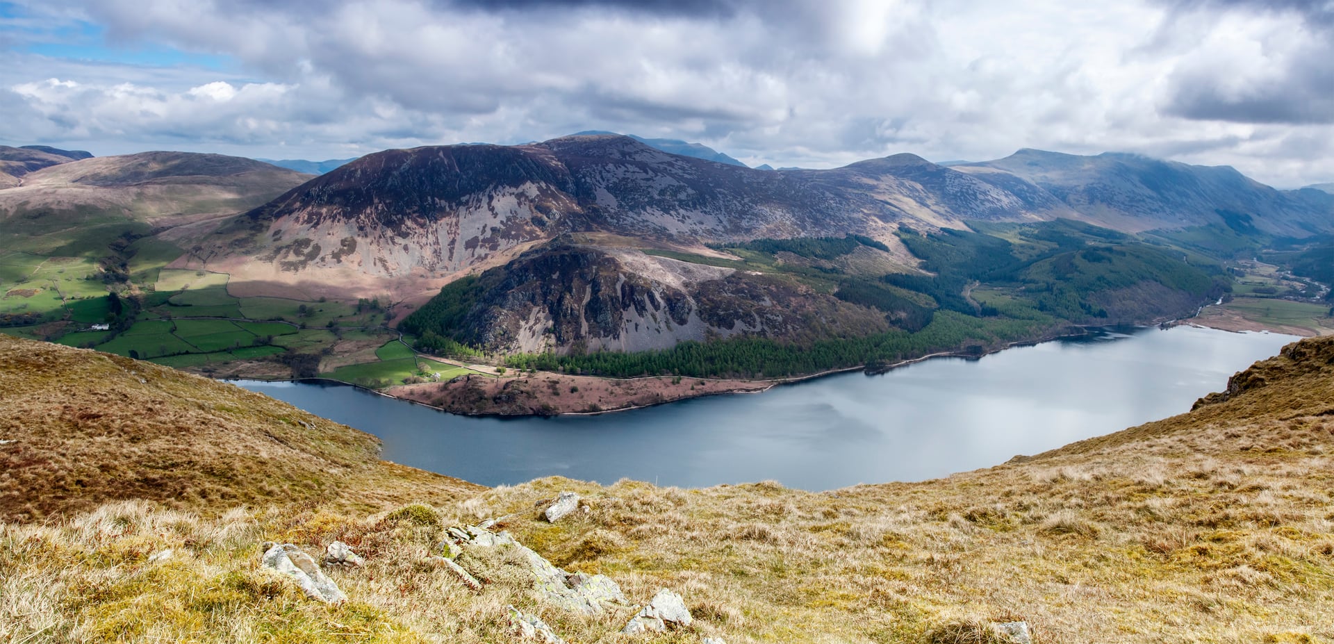
Between 1955 and 1966 a Kendal borough treasurer called Alfred Wainwright wrote and drew seven volumes covering 214 Lakeland fells. Every page is handwritten and hand-illustrated, with no typeset text anywhere in the series. He worked in the evenings after his day job and finished on schedule, to the week.
The unintended result is that the Lake District has a definitive list. The fells run from Castle Crag at 290 metres to Scafell Pike at 978, and walking all 214 is a recognised project that thousands of people are partway through. "Bagging the Wainwrights" is the phrase you will hear in every pub in Cumbria.
Wainwright himself became part of the landscape he catalogued. His ashes were scattered on Haystacks, a modest 597 metre fell above Buttermere that he named as his favourite, and people still walk up there because of it 30 years later.
Scafell Pike
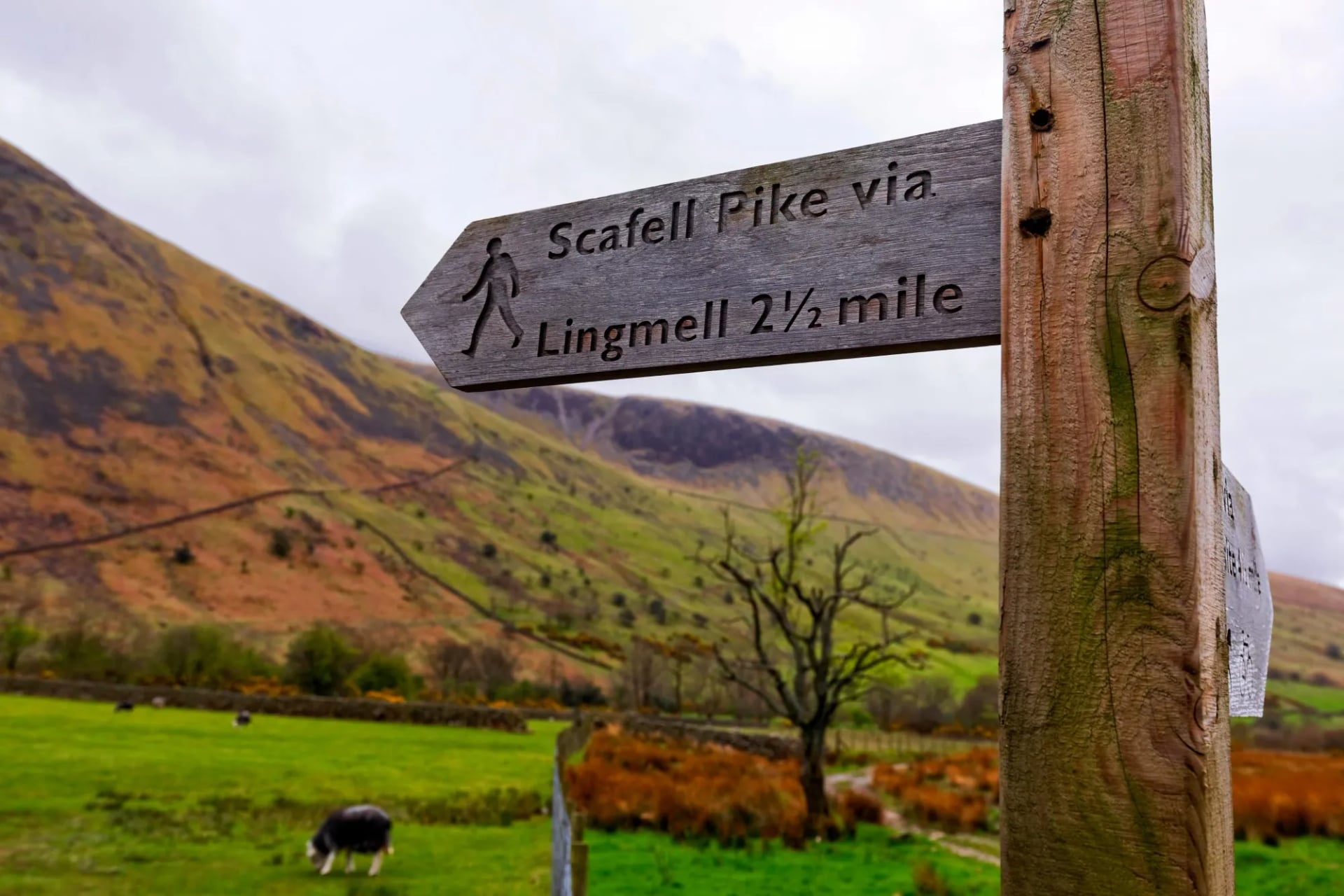
England's highest mountain at 978 metres, and a summit that disappoints anyone expecting a peak. The top is a broad boulder field with a raised cairn, and the surrounding ground is the roughest in the district: block scree, no soil, and cairns as the only guidance. Its near neighbour Sca Fell at 964 metres is a separate mountain, and confusing the two is a local rite of passage.
The ascent from Wasdale Head is the shortest and steepest, climbing around 900 metres in under 5 kilometres, and it takes most walkers 5 to 6 hours there and back. It is also the busiest mountain in England, and one reason is the National Three Peaks challenge, which pairs it with Ben Nevis and Yr Wyddfa inside 24 hours. That puts convoys of minibuses into Wasdale between one and three in the morning, which the valley has been complaining about for years. In cloud this summit is genuinely serious, because the boulder plateau has no paths and compass bearings off the top are unforgiving. Our seven-day crossing takes it on day five, Wasdale Head over to Great Langdale, 15.5 kilometres with 950 metres of ascent.
Helvellyn and Striding Edge
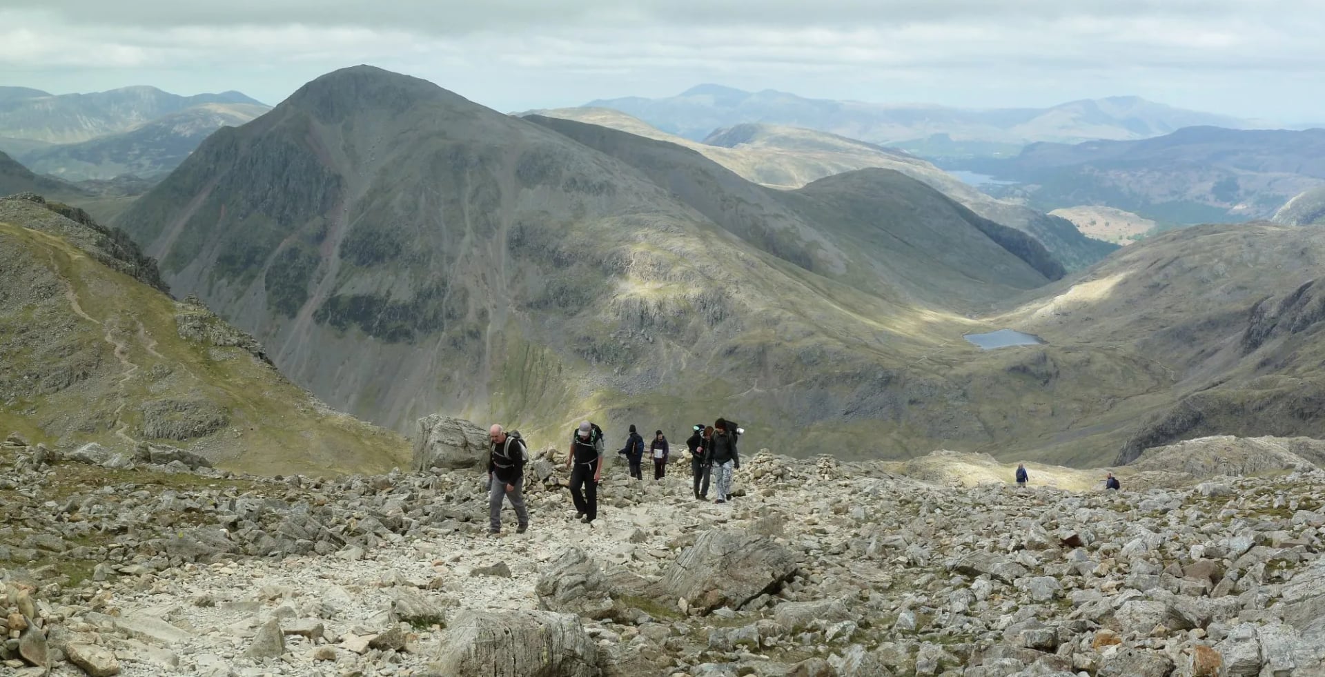
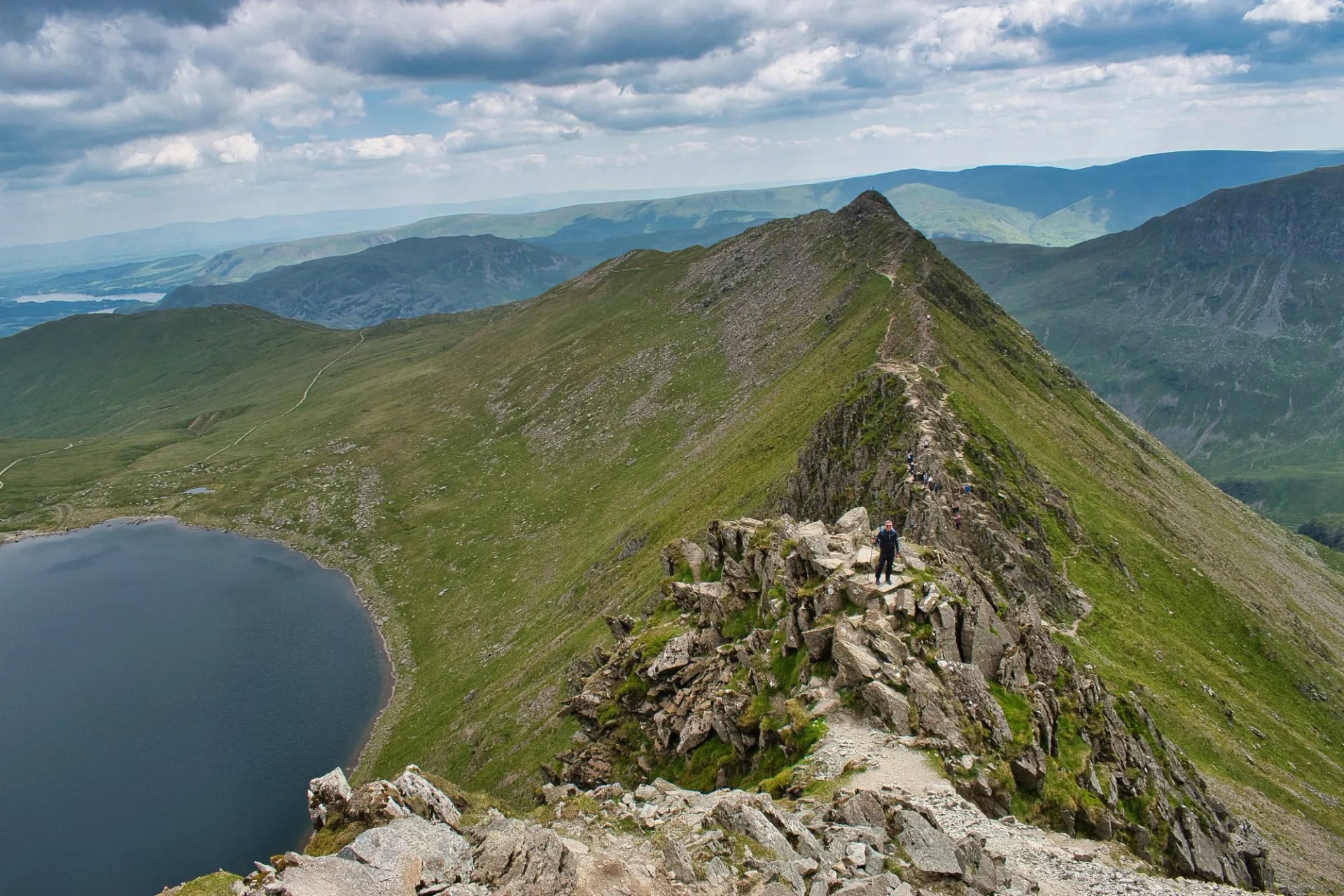
Helvellyn is 950 metres and the third highest ground in England, but people come for the approach instead of the summit. Striding Edge is a narrow rock arete about a kilometre long running up to the top from the east, with a drop on both sides and a short down-climb near the end. It is graded as an easy scramble, and it is also where Lakeland mountain rescue is called out most often.
The mountain holds a corrie lake called Red Tarn at 718 metres between Striding Edge and its twin, Swirral Edge, and the view down to it while you are on the arete is the reason the route is famous. Treat Striding Edge as a scramble and not a path: in wind, ice or with a nervous member of the party, the parallel zig-zag route up from Glenridding is the sensible choice and loses nothing.
The Best Walks in the Lake District
These are the walks other people will tell you about, and knowing them is useful whether or not you climb any of them. Most are single days on the fells, so they sit alongside a walking week instead of replacing it. Two more belong on any list and appear elsewhere in this guide: Haystacks at 597 metres is the one Wainwright chose, and the seven kilometre circuit of Buttermere is the easiest good walk in the district.
Catbells
The most climbed fell in the Lake District and the right first summit for almost anybody. Catbells is only 451 metres and rises straight out of the western shore of Derwent Water, with a path to the top that needs no navigation and takes most people about an hour and a half from Hawes End.
What it gives back is out of all proportion to the effort: the full length of Derwent Water below, Borrowdale closing to the south and Skiddaw across the water. It gets busy from mid-morning onwards, and the launch across Derwent Water from Keswick is a better way to reach the start than driving to a full car park.
The Old Man of Coniston
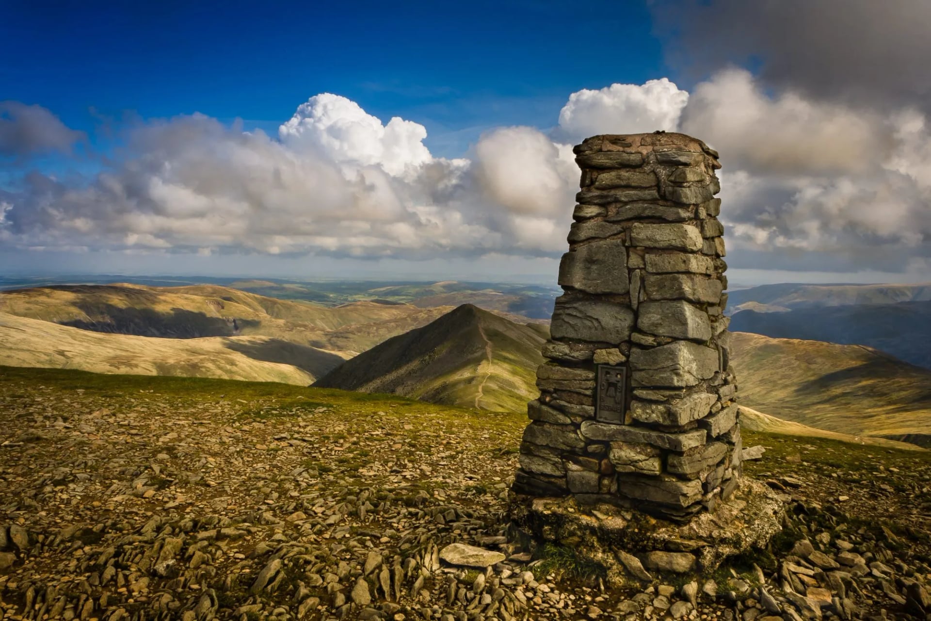
Eight hundred and three metres of fell standing directly above Coniston village, and the most industrial mountain in England. The route up passes through the Coppermines Valley, past spoil heaps, wheel pits and the flooded workings of a copper industry that ran from the sixteenth century into the twentieth, then climbs beside a working slate quarry.
The summit cairn sits on a platform of quarried slate with Coniston Water laid out below and the Scafell group to the north west. The mine workings make this the most interesting ascent in the southern fells, and our seven-day crossing passes through the same valley on its way from Coniston to Boot.
The Fairfield Horseshoe
The classic Lakeland ridge round, and the one to walk if you want a full day without leaving a town. It starts in Ambleside, climbs Low Pike and High Pike onto Fairfield at 873 metres, then comes back down the opposite arm over Hart Crag and Dove Crag. About 17 kilometres with something close to 1,000 metres of ascent.
Almost all of it is on grass and almost all of it is above 600 metres once you are up, which makes it a rare Lakeland day with a long high-level middle section. The horseshoe shape means you finish where you parked, and in cloud the two arms are easy to confuse near the top.
Great Gable
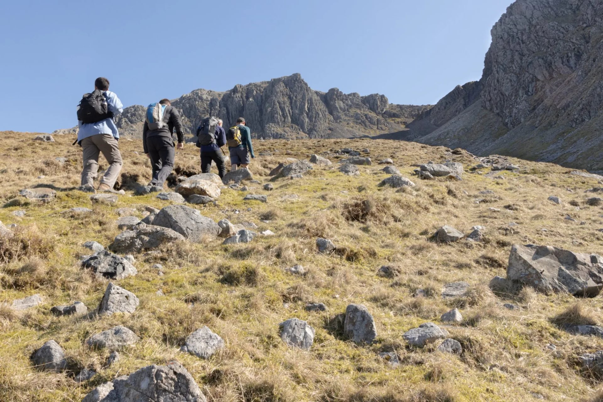
At 899 metres Great Gable is not the highest fell in Wasdale, and it is the one everybody photographs, because from Wasdale Head it presents as a near-perfect pyramid. The usual route climbs from the valley head by Sty Head and the Breast Route, around 900 metres of ascent in roughly four kilometres.
On the southern flank sits Napes Needle, a detached pinnacle first climbed in 1886 in an ascent widely treated as the start of British rock climbing as a sport. There is a war memorial plaque on the summit, placed by the Fell and Rock Climbing Club. Gable is the fell to climb if Scafell Pike disappointed you, and the view from the top is far better.
Sharp Edge on Blencathra
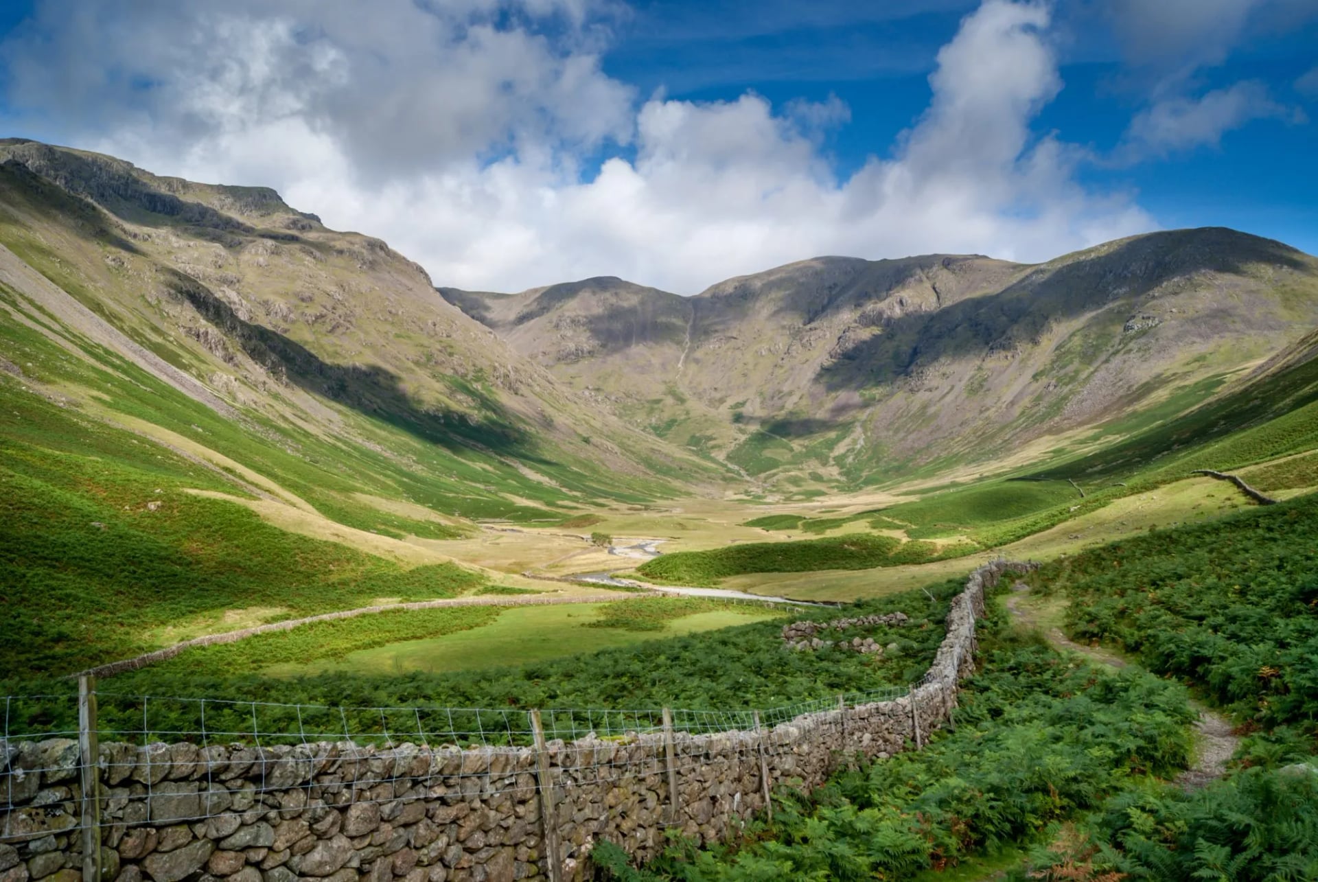
Blencathra is 868 metres and sits apart at the northern edge of the district, which gives it a view across the Solway to Scotland that no central fell can match. Sharp Edge is the arete on its north eastern side, and it is genuinely harder than Striding Edge: narrower, more exposed, with polished rock and a slabby traverse that has caused serious accidents.
Sharp Edge is a scramble and not a walk, and it should be left alone in wet or windy weather by anyone without scrambling experience. Blencathra has five or six other routes to the summit, and Hall's Fell ridge is a fine one that stays within walking.
The Langdale Pikes
The skyline that made Great Langdale famous, a group of steep-fronted summits topped by Harrison Stickle at 736 metres and Pike o' Stickle at 709. The walk up from the valley floor at the Old Dungeon Ghyll is short, brutally steep and mostly on pitched stone, gaining around 650 metres in under three kilometres.
On the flank of Pike o' Stickle is a Neolithic axe factory, where a band of hard volcanic tuff was quarried around 4,000 years ago and worked into axe heads traded across Britain. You are walking on an industrial site 4,000 years older than the slate mines, and the scree below the outcrop is still full of stone flakes.
The Ground Underfoot
Lakeland paths are not built like Alpine paths, and the difference catches people out on day one. Most of what you walk on was worn in by feet and hooves over centuries, then repaired by hand where it started to fail. There are no switchbacks. A Lakeland path goes up the fall line, directly, and your calves will tell you about it.
The main repair technique is stone pitching, where masons set boulders into the hillside by hand to form a rough staircase that sheds water. Some of it is Victorian and some was laid last summer by National Trust fix-the-fells teams working from helicopter-dropped stone. Pitched sections are easier to climb than to descend, and going down them wet is where most twisted ankles happen.
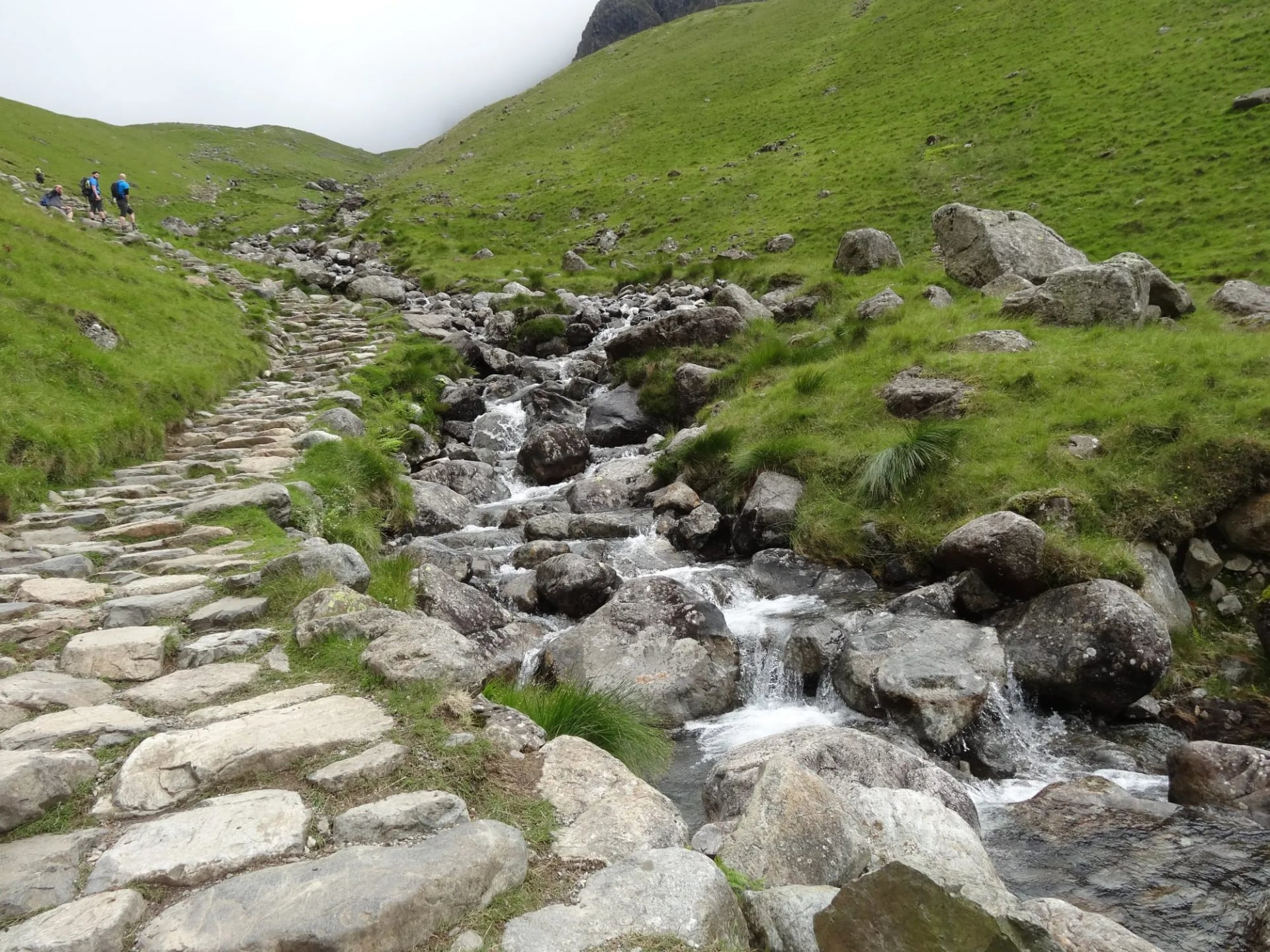
Above the pitching the surface changes again. The volcanic centre gives block scree and bare rock slabs that turn greasy in rain, and the summit plateaux of Scafell Pike and Bowfell have no soil at all. The northern fells are the opposite: grass and loose slate, with the fine gravel that acts like ball bearings on a steep descent.
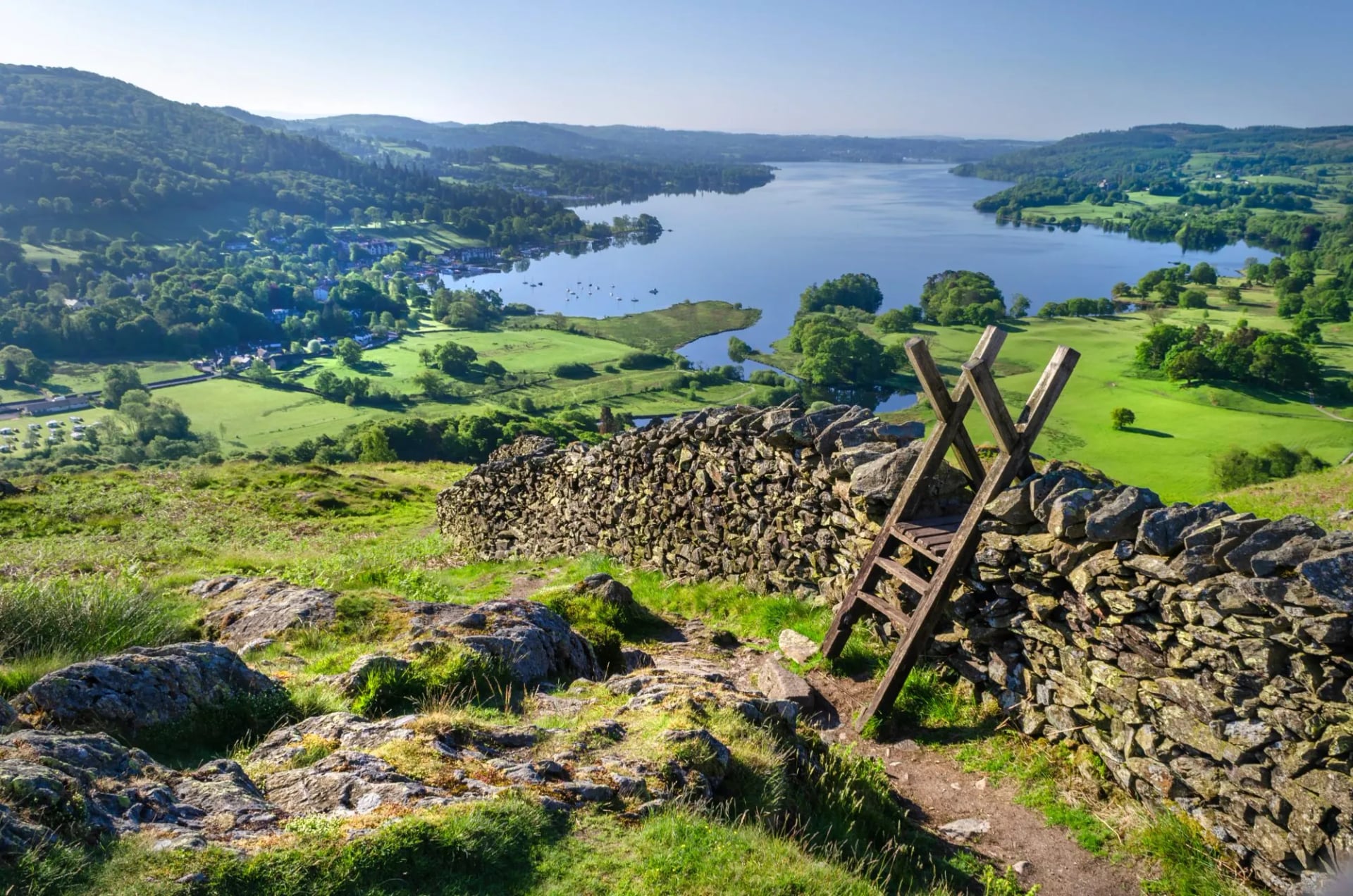
Then there is the field furniture in the valleys. Walls here are drystone, built without mortar, and getting over them without letting stock out has produced a small architecture of its own: ladder stiles, step stiles, squeeze stiles and kissing gates. Nothing slows a group down like a ladder stile, and a lowland Lakeland day can include dozens.
Where You Sleep
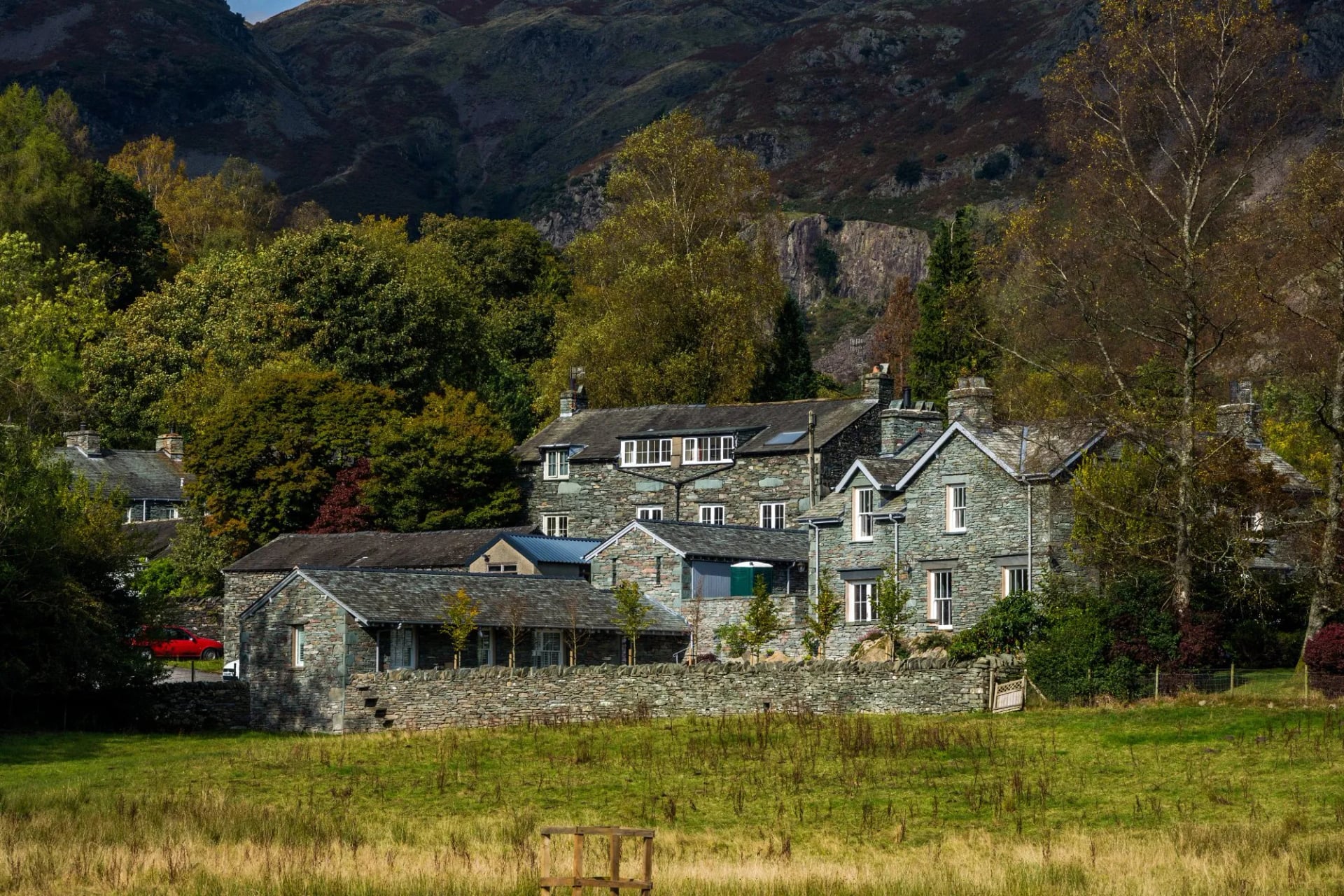
The Lake District has the densest walkers' accommodation in Britain, and the reason is Victorian. The railways arrived at Windermere in 1847, the tourists followed immediately, and every valley built inns to take them. A century and a half later you can still walk from one valley to the next and find a bed at the far end.
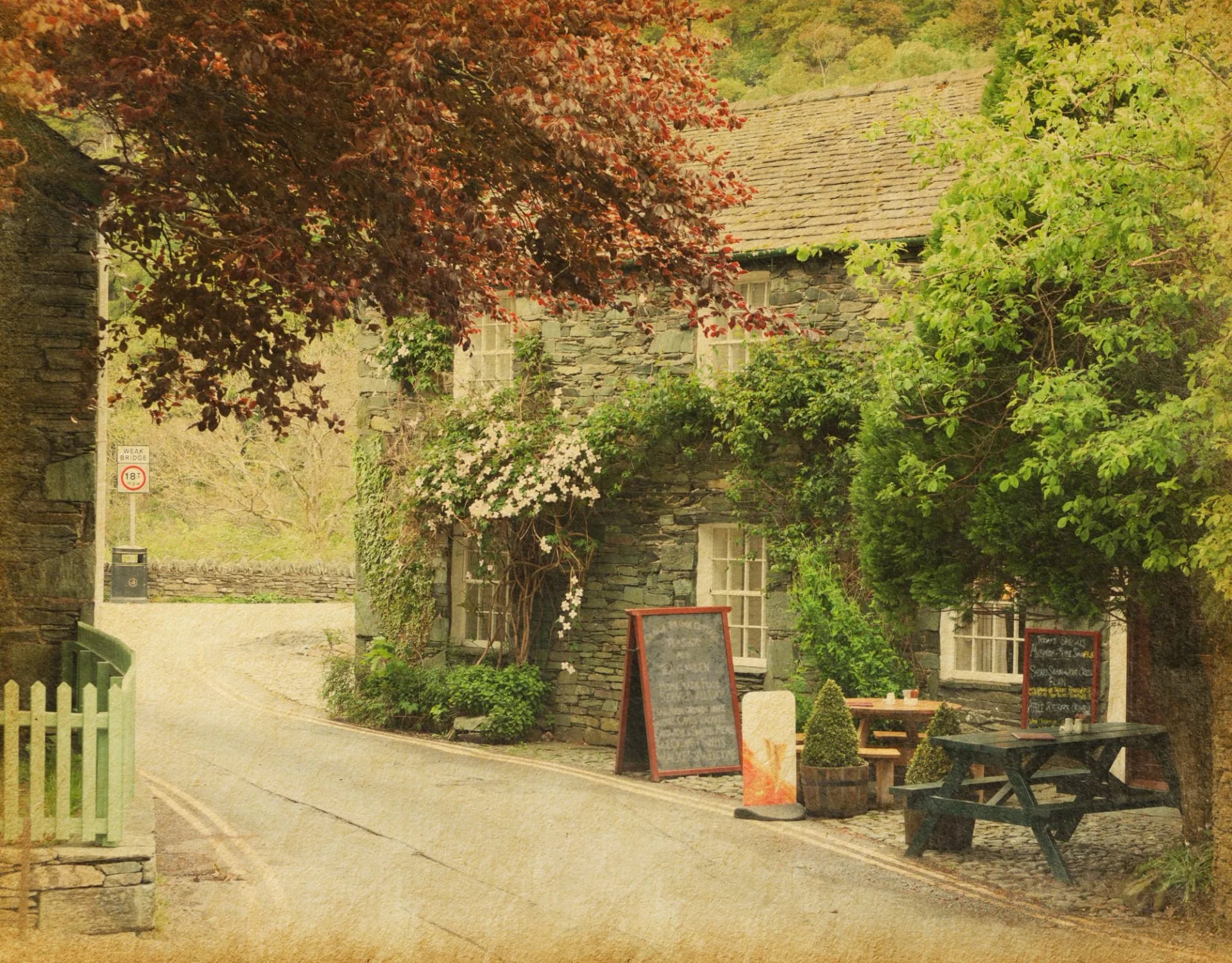
The default is the inn or the small hotel, and on the walking routes they are set up for you: drying rooms, boot stores, breakfast from seven, and a bar that serves food late enough to matter. Our routes use places like the Temperance Inn in Ambleside, the Yewdale in Coniston and Burnthwaite at Wasdale Head. Beds at the remote valley heads are the ones to book first, because Wasdale Head has a handful of rooms and no alternative for 15 kilometres.
Below that the district is unusually well served. Youth hostels here are open to all ages and several occupy the best-sited buildings in the Lakes, including Black Sail, a former shepherd's bothy at the head of Ennerdale reachable only on foot. Camping barns offer a stone floor, a kettle and a roof on a working farm for a few pounds. Campsites cluster in Langdale, Wasdale and Eskdale.
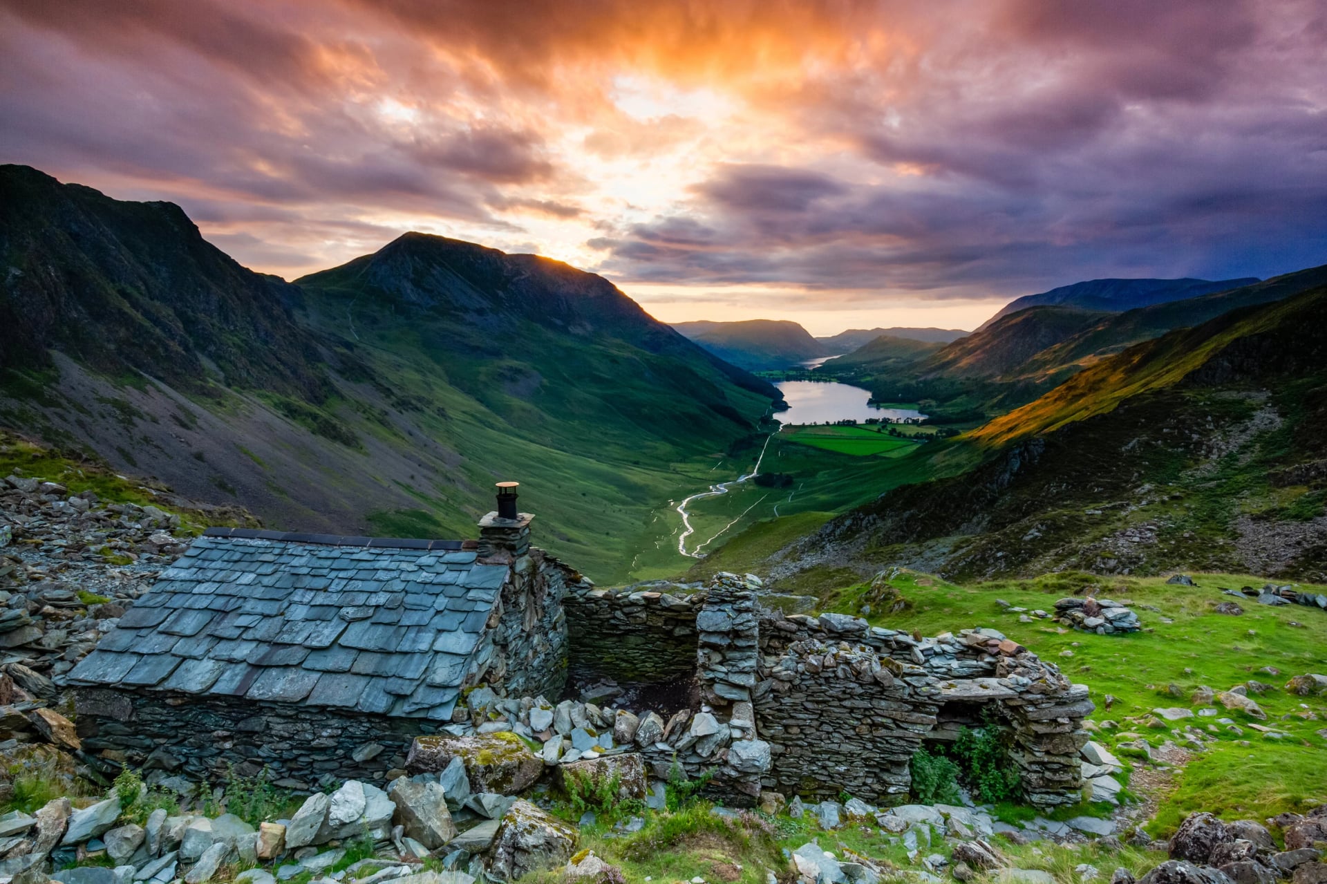
There are also bothies, though fewer than in Scotland. The Mountain Bothies Association looks after five in England, three of them in the Lake District, and unmaintained shelters sit alongside them, including one above Buttermere looking down the valley to Crummock Water. Bothies cannot be booked and belong to whoever arrives first, so carry a tent or a plan B if your night depends on one.
Two local things are worth eating on the hill. Kendal mint cake is a slab of sugar and peppermint made in the town since the 1860s, and it went to the summit of Everest with the 1953 expedition. Grasmere gingerbread has been made to the same guarded recipe in a former schoolhouse since 1854, and it travels in a pocket better than anything else you will buy here.
Rain: The Thing Nobody Warns You About
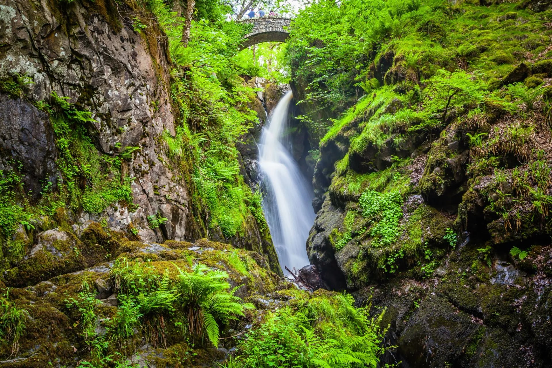
Seathwaite in Borrowdale is the wettest inhabited place in England, and it receives roughly 3,500 millimetres of rain a year. London gets about 600. That is not a statistical curiosity, it is the single most important planning fact about this landscape, and it explains the bog, the waterfalls, the moss and the shape of every path you will walk on.
Atlantic weather arrives from the west, hits the first high ground it has met since Newfoundland, and drops its load. The practical effect is that the western valleys, Wasdale, Ennerdale and Borrowdale, are markedly wetter than the eastern ones. Ullswater and Haweswater sit in a rain shadow, and shifting east can rescue a bad week.
What this means for kit is simple and non-negotiable. A waterproof jacket rated for sustained rain matters more than boots, waterproof trousers are not optional, and a dry bag inside the pack is what keeps tomorrow's layers usable. Honister Pass recorded 341 millimetres of rain in 24 hours during Storm Desmond in December 2015, a United Kingdom record. Becks rise fast, and a stream you crossed easily in the morning can be impassable by late afternoon.
Sheep, Slate and Why UNESCO Listed It
The Lake District became a UNESCO World Heritage Site in 2017, and the listing is worth reading carefully: it went on the list as a cultural landscape, not a natural one. What is protected is the combination of the scenery, the farming system that shaped it, and the Romantic movement that taught the rest of the world to look at mountains as beautiful instead of frightening.
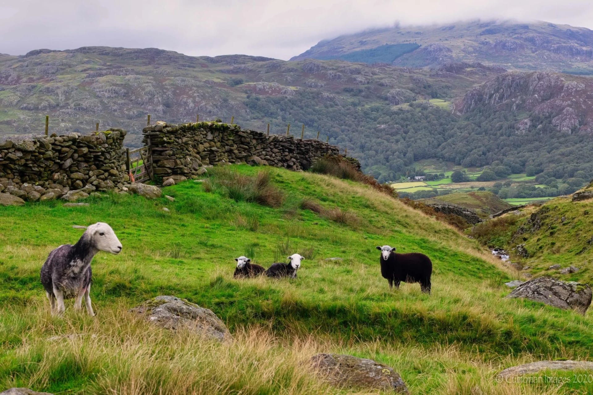
The farming half of that is Herdwick sheep, a hardy grey breed found almost nowhere else. Herdwicks are hefted, meaning a flock learns its own patch of unfenced fell and stays there across generations, and a farm sells the sheep with the land because the knowledge lives in the animals. The walls you cross are not the boundaries of the grazing, and the sheep on the tops are somebody's livestock rather than wildlife.
Beatrix Potter did more than write about it. She used her book royalties to buy failing farms, bred prize Herdwicks herself, and left around 4,000 acres and 15 farms to the National Trust on her death in 1943. That bequest is why so much of the central Lakes is not built on. The other industry was slate, and Honister above Buttermere is still worked today.
How Hard Is Lake District Hiking?
Harder than the altitude figures suggest and easier than the Alps demand. Nothing here needs acclimatisation or technical equipment, and almost everything here needs more ascent per kilometre than you expect. A Lakeland day of 15 kilometres with 900 metres of climb is a normal outing and a genuine day's work.
The local benchmark tells you how the ground is regarded by people who know it. The Bob Graham Round links 42 summits in a continuous circuit of about 106 kilometres with roughly 8,200 metres of ascent, to be completed inside 24 hours. More than 3,000 people have finished it since 1932, which is a useful reminder that a fell being small says nothing about a fell being gentle.
Descent hurts more than ascent. Steep pitched stone and loose slate punish knees, and most days here give the height back in one go.
Cloud is the real hazard. The high plateaux have no paths, and the tops are in cloud for a large part of the year.
Passes are not shortcuts. Crossing between valleys means a full climb, so a 12 kilometre day can carry 800 metres of ascent.
Wet rock is the usual cause of trouble. Volcanic slabs turn greasy within minutes of rain starting.
Rescue is volunteer-run. The 12 mountain rescue teams covering the Lake District are all unpaid and charity-funded, and Wasdale and Keswick are among the busiest in the country.
Phone signal is patchy. Carry a paper map and a compass, and know how to use a bearing before you need one.
On our own scale the two Lake District routes sit either side of that line. The five-day trip rates 2 out of 5 for both fitness and technique and keeps mostly to lakeshores, with one big mountain day. The seven-day trip rates 3 for fitness and 4 for technique, which makes it the most technical week in our English range. The hiking difficulty guide sets out what those numbers mean on the ground.
When to Go: The Best Time to Visit the Lake District
The walking season runs from April to October, and the shoulder months are better here than the middle ones. The Lake District receives something in the region of 18 million visitors a year into a park that around 41,000 people call home, and almost all of them come in July and August.
Late May and September are the two windows worth planning around. Spring gives the driest ground and the longest light before the school holidays start, and September gives colour, space and cheaper beds while the weather still holds more often than not.
Swimming is part of a Lakeland summer, and the lakes are cold, clean and mostly open to swimmers. Two cautions apply. Blue-green algae blooms in warm still spells and the national park posts warnings when a water is affected, and the bigger lakes carry boat traffic, so stay inside the marked zones on Windermere and Derwent Water.
Avoid bank holiday weekends entirely if you have any choice, particularly in Langdale, Buttermere and around Windermere. Winter walking is a different activity here: the high fells hold snow and ice from December to March, the gullies avalanche, and Striding Edge in those conditions needs an axe, crampons and the experience to use both.
Getting There Without a Car
This is the rare British mountain area you can reach and use on public transport, which matters because parking at the trailheads is now the single biggest source of frustration in the national park. Trains from London, Manchester and Glasgow stop at Oxenholme, where a short branch line runs into Windermere itself.
From Windermere and Keswick the bus network reaches most of the valleys you would want, including the 555 up the central spine and the 77 over Honister. Ferries cross Windermere, Ullswater and Derwent Water, and using a boat to start or finish a walk is one of the genuine pleasures here. The 508 to Glenridding puts you at the foot of Helvellyn without a car at any point.
Some valley heads stay hard to reach. Wasdale has one bus in summer only, and Eskdale is served by the narrow-gauge railway from Ravenglass on the coast. On a point-to-point route with luggage transfer none of that matters, since the bag goes by road and you walk between the valleys on foot.
Access and Wild Camping
The park was designated in 1951, the second in Britain, and most of its high ground is open access land under the Countryside and Rights of Way Act 2000, which means you may walk on the fells away from paths. Ordnance Survey Explorer maps at 1:25,000 shade it pale yellow with an orange border, and four sheets numbered OL4 to OL7 cover the national park between them.
Wild camping is a different matter and is often described loosely. There is no legal right to wild camp anywhere in the Lake District, because Dartmoor is the only place in England with one. What exists here is long-standing tolerance for high-level camping above the intake walls, done for a single night, arriving late and leaving early with no trace and no fire. The national park authority publishes its own guidance, and the goodwill it depends on is finite.
Two things about stock. Dogs must be under close control on open fell and on a lead near sheep, and between March and May the fells are full of lambs, which is when farmers ask for the most care. A ewe that runs from a dog can abort. Gates get left as you found them, open or shut.
Lake District Walking Holidays: Where to Start
Pick the valley before the route. If you want lakeshore days with one big mountain and the option of Striding Edge, that is Ullswater in the north east. If you want to cross the district properly, get in touch with our team and let's get you started.
Frequently Asked Questions

About this author
Jon is our travel advisor and an outdoor adventurer who is happiest on the move. While mountain biking is his personal passion, he thrives on crafting hiking adventures for others — planning routes and adding the little touches that turn a trip into a core memory.

























































.jpg&w=828&q=75)





















