Rila Mountains: 8 Best Hikes, From the Seven Lakes to Musala
Eight Rila Mountains hikes with the distance, climb and start point for each, from the Seven Rila Lakes to Musala, plus the huts, lifts and buses to plan them.

Ajda
Published October 7, 2026
Edited October 7, 2026
15 min read
Quick links
Don't want to read all this?
We've planned 2,000+ hiking trips. Send your dates, fitness and group size — we'll map the route and book every night.



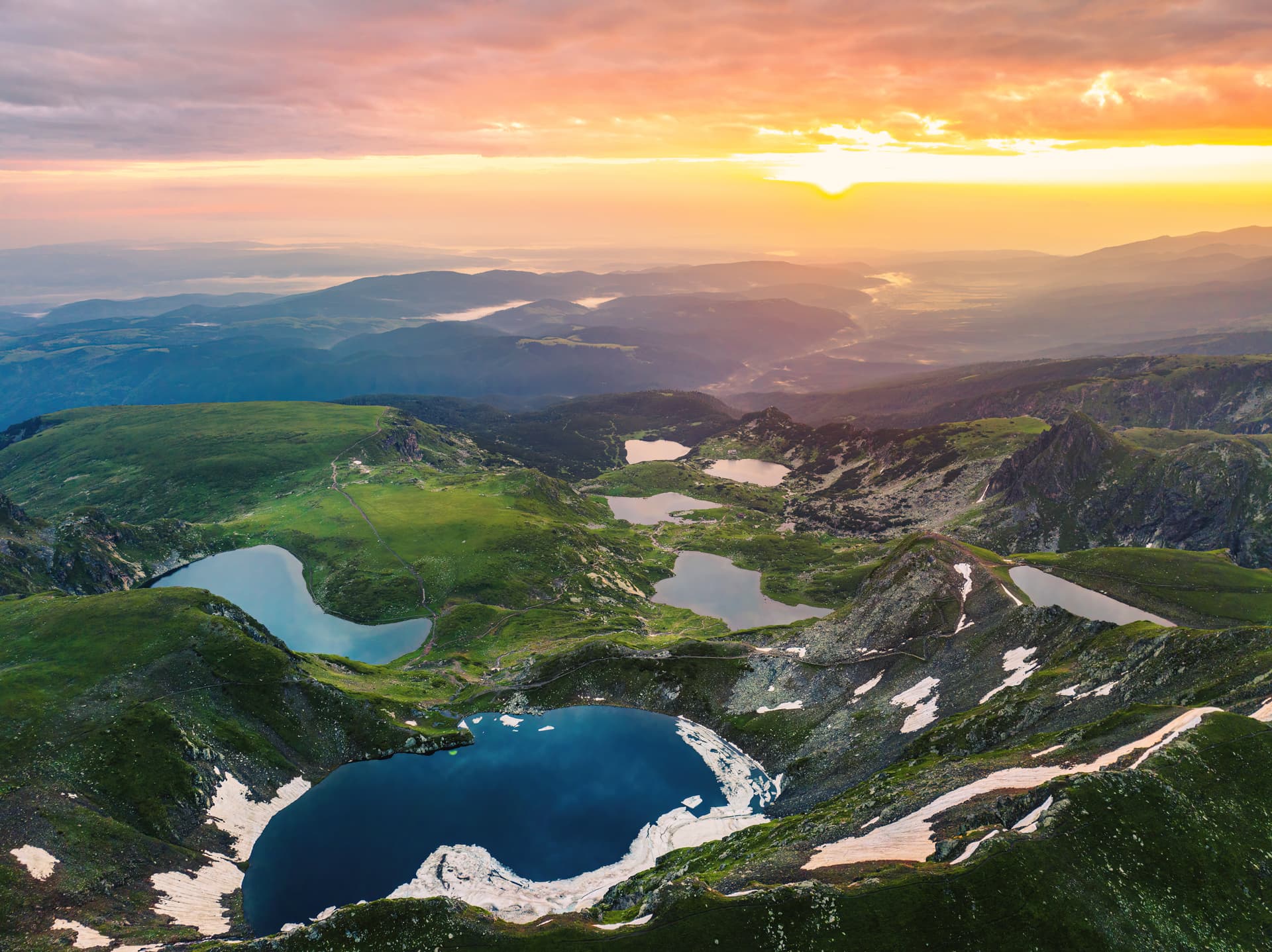
The Rila Mountains are the highest range in Bulgaria and the Balkans, topped by Musala at 2,925 m. They start about 60 km south of Sofia, and most of the range is protected as Rila National Park, which holds about 120 lakes.
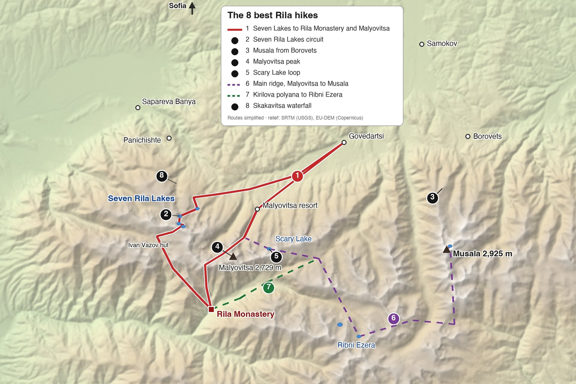
The hikes start from four gateways on different sides of the range: Panichishte for the Seven Lakes, the Malyovitsa resort, Borovets for Musala, and Rila Monastery in the south-west. Choose your gateways first, because the lakes and the monastery, for example, sit on opposite sides of the range.
The 8 Best Hikes in the Rila Mountains
Two of the best Rila day hikes start with a lift ride to above 2,000 m, and the rest begin at a road end or a hut. The longer routes link huts along the main ridge and take two to six days. Hikes 1, 6 and 7 are multi-day; the rest are day hikes from Panichishte, Borovets or the Malyovitsa resort. Times are walking time without stops.
1. Seven Lakes to Rila Monastery and Malyovitsa
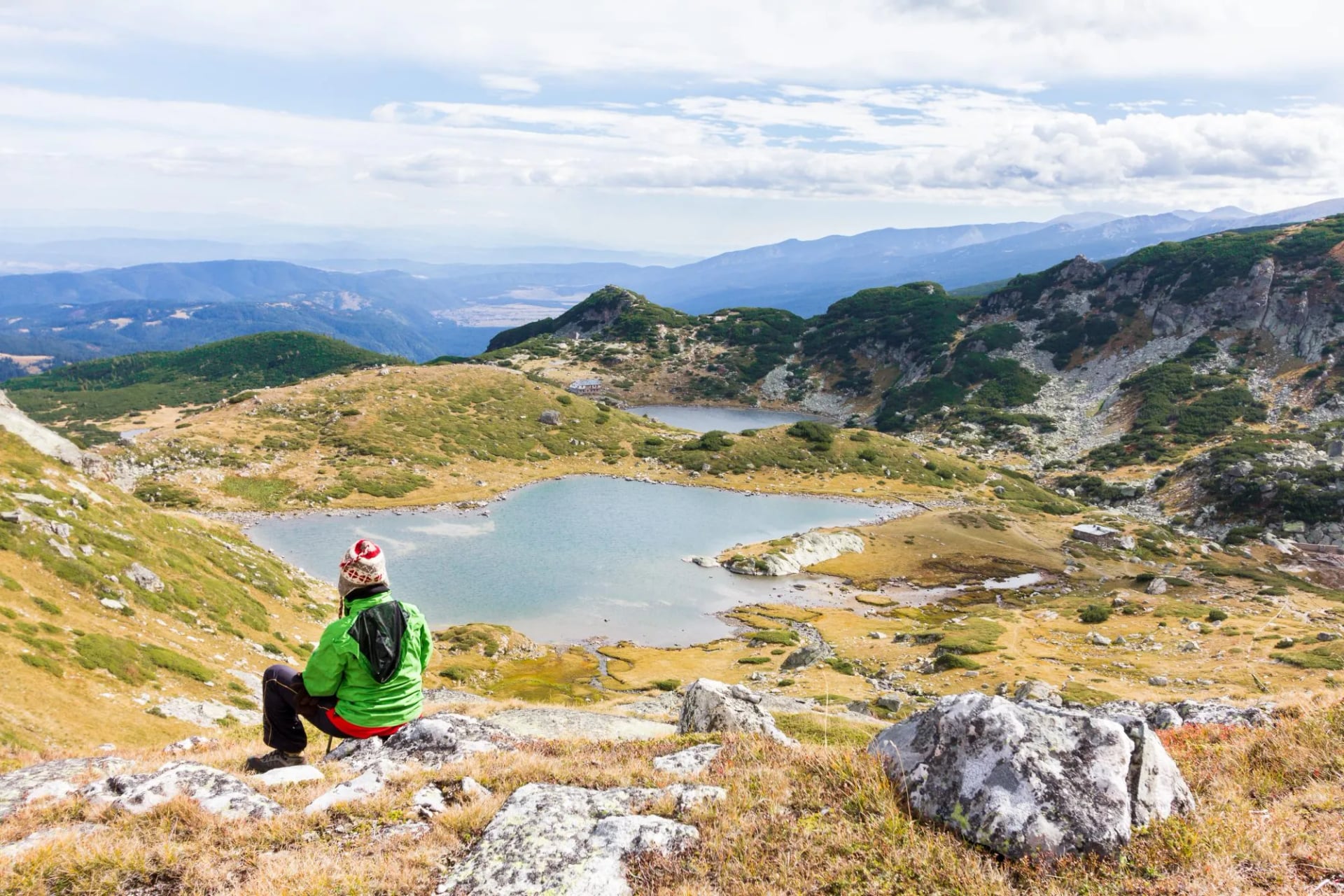
Distance: about 65 km over five walking days
Climb: about 3,400 m in total, with 1,600 m on the hardest day
Start and end: Govedartsi, 1 h 40 by road from Sofia
Highest point: Lake Peak, 2,560 m, above the Seven Lakes
Sleeps: Rila Lakes hut, Ivan Vazov hut, a hotel by Rila Monastery and Malyovitsa hut
Terrain: marked paths, rocky above 2,000 m, with one long climb and one long descent
Best for: the lakes, the monastery and the Malyovitsa cirque in one week
This loop links the three best-known places in the range. From Govedartsi it follows the Cherni Iskar valley up to the Seven Lakes, crosses Lake Peak to Ivan Vazov hut at 2,300 m, and drops 1,290 m to Rila Monastery.
The climb out of the monastery is the hardest day: 10.5 km with 1,600 m of ascent, under Dodov peak and past Elenino lake to Malyovitsa hut. A shorter two- or three-day crossing ends at the monastery, where a daily bus runs back to Sofia.
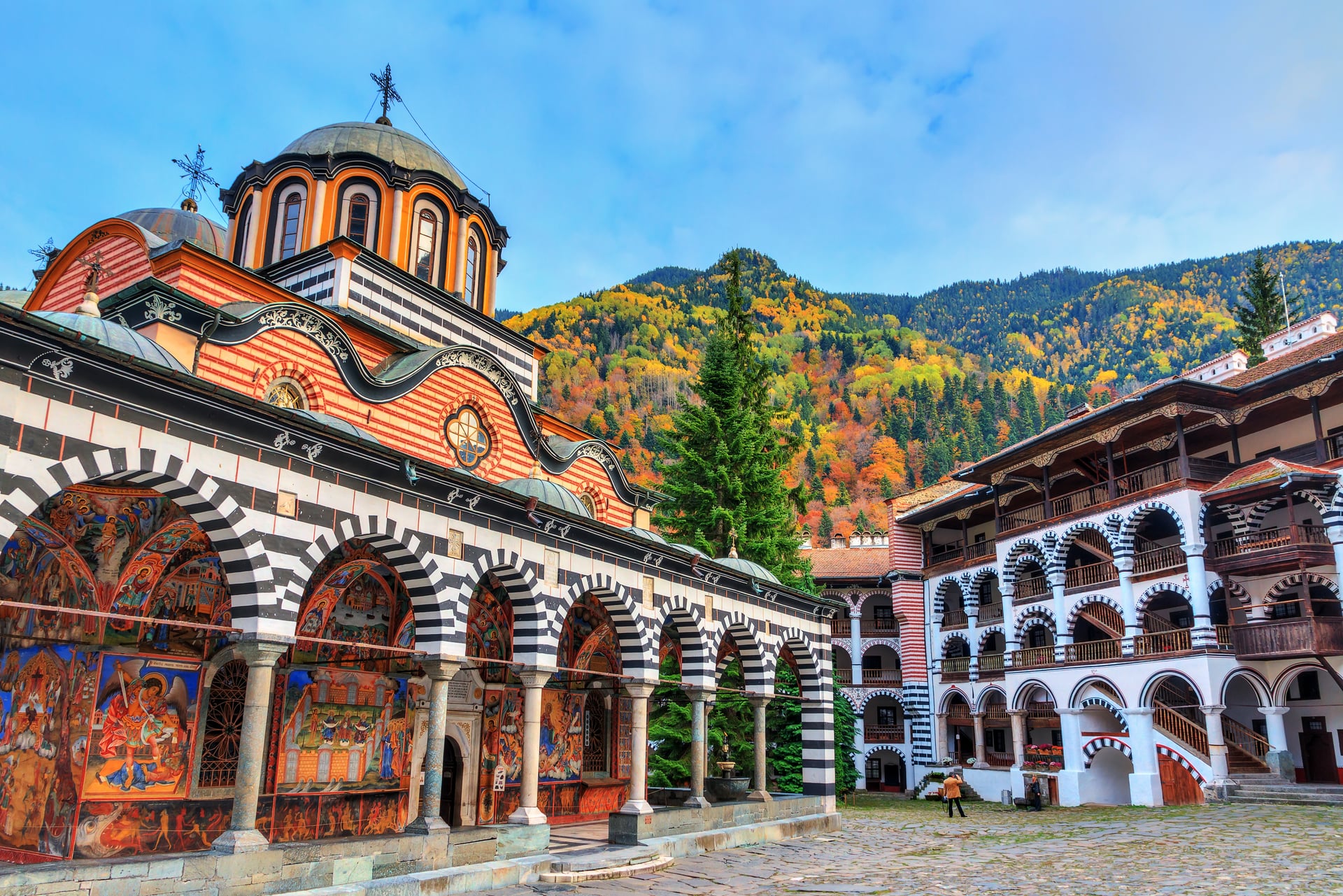
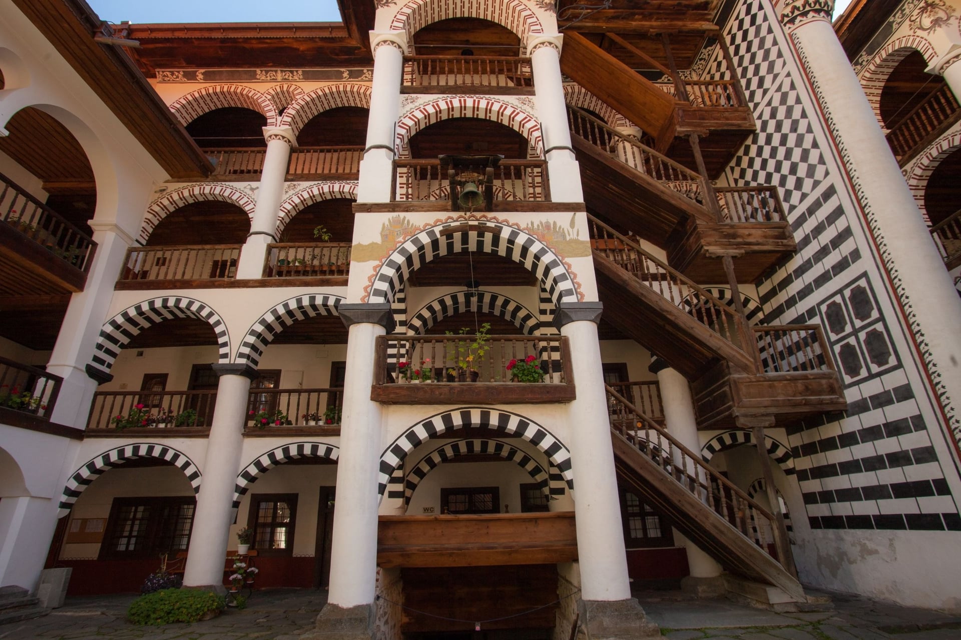
Rila Monastery was founded in the 10th century and has been a UNESCO World Heritage Site since 1983. Its museums open 08:30 to 16:30, with a combined ticket for €12. Shorts and tourist backpacks are not allowed, so leave the pack at your room first.
Our self-guided Best of Rila Mountains tour walks this loop in seven days, with three hut nights on half-board and three hotel nights.
2. Seven Rila Lakes Circuit
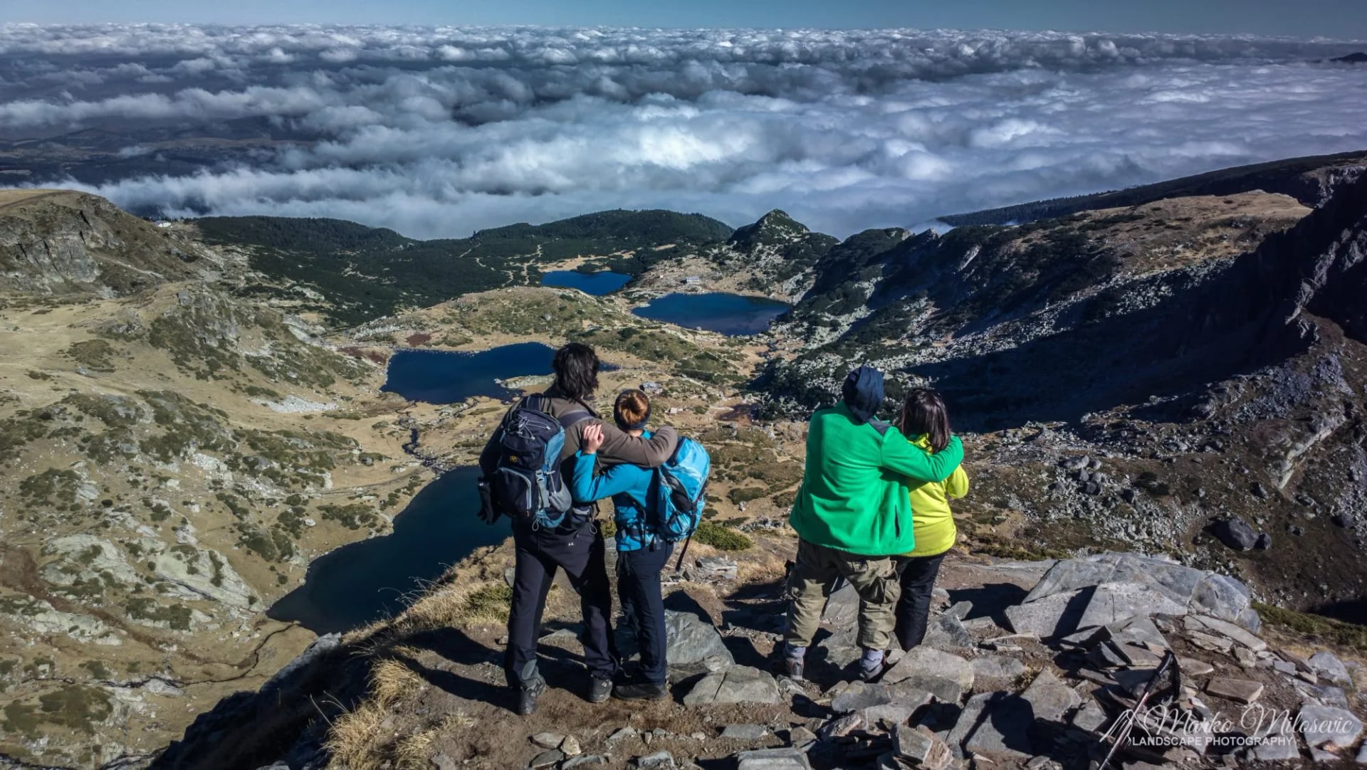
Distance: 8 to 9 km loop from the top of the chairlift
Climb: about 500 m
Time: 3.5 to 5 hours
Start: the Rila Lakes chairlift top station, 2,100 m, above Sapareva Banya
Highest point: the Tear, 2,535 m, or Lake Peak, 2,560 m, for the view over all seven lakes
Terrain: a wide, busy path; the last climb from the Eye to the Tear is steep and rocky
Best for: a first Rila day and the range's classic view
The Seven Rila Lakes are glacial lakes stepped up one cirque between 2,095 m and 2,535 m. From the bottom they are the Lower Lake, Fish Lake, Trefoil, Twin, Kidney, Eye and Tear, and the Eye is the deepest cirque lake in the Balkans, at 37.5 m.
The chairlift climbs 515 m in about 25 minutes. In 2026 a return ticket costs €16, and it runs 08:30 to 17:30, from 12:30 on Mondays. It closes on the last Monday of each month and for inspections in spring and autumn, so check the lift's hours before you go.
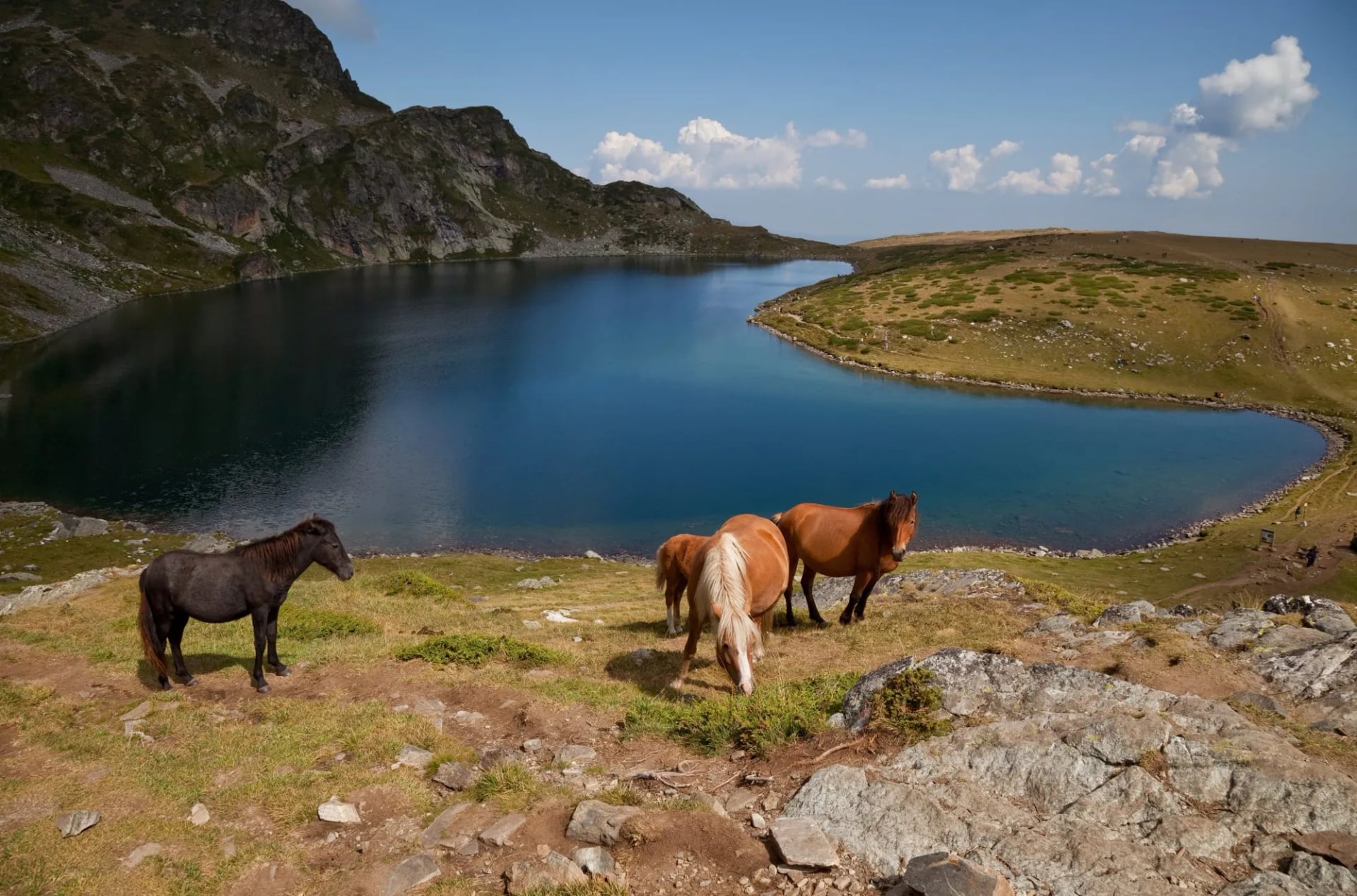
Without the lift it takes about 1 h 30 to walk up from the lower station, or 3 hours from Panichishte. Swimming and wading are banned, because the lakes supply drinking water to 25 villages and towns.
Summer brings 3,000 to 6,000 visitors a week, and twice as many around 19 August, when followers of the White Brotherhood dance the paneurhythmy by the Kidney. Start early, or sleep at one of the two huts by the lakes.
3. Musala From Borovets
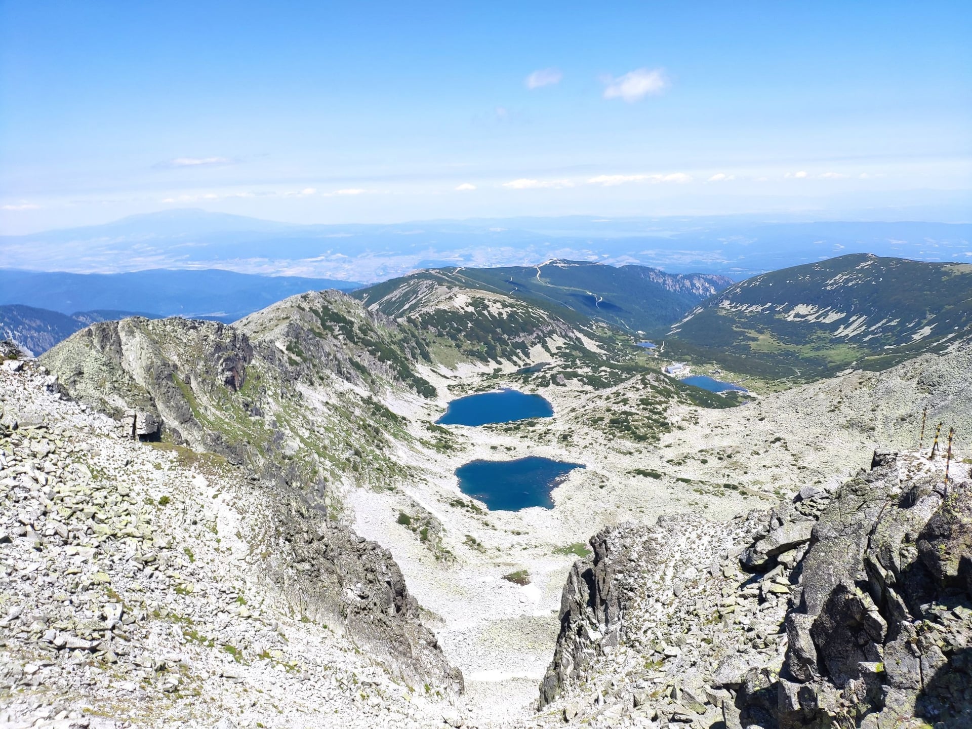
Distance: about 13 km return from the top of the gondola
Climb: about 600 m
Time: 5 to 7 hours
Start: Yastrebets, the gondola top station at about 2,350 m above Borovets
Highest point: Musala, 2,925 m
Terrain: a graded path to Musala hut, then rocky and bouldery, with no cables or chains in summer
Best for: the highest summit in the Balkans in a day
Musala peak stands 7 m higher than Mount Olympus, which makes it the highest peak in the Balkans, and the gondola from Borovets turns it into a day hike. The path passes Musala hut at 2,380 m and the shelter by the Icy Lake at about 2,700 m, and the summit has a weather station.
The gondola ride takes about 25 minutes. Its summer 2026 timetable wasn't published when we checked; in 2025 it ran 08:30 to 18:30 from late June and stopped on Mondays and Tuesdays. Check the last ride down before you set off, because walking up from Borovets adds about 4 hours to Musala hut.
Above Musala hut the path gets steeper, with zigzags above the Icy Lake and boulders below the top. The fixed rope on the north-east ridge marks the winter route; the summer path doesn't need it.
4. Malyovitsa Peak
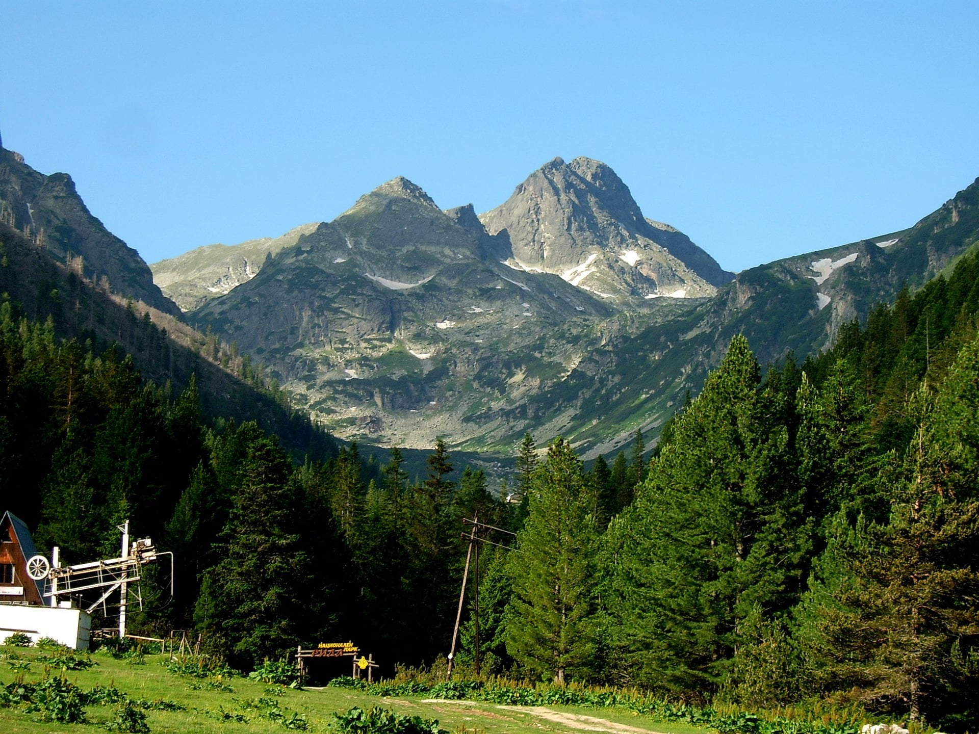
Distance: about 13 km return
Climb: about 1,050 m
Time: 6 to 7 hours
Start: the Malyovitsa resort, 14 km by road above Govedartsi
Highest point: Malyovitsa, 2,729 m
Terrain: a red-marked path to Elenino lake, then steep scree and rock to the top, with no scrambling
Best for: a big alpine cirque without a lift
The red-marked path climbs from the resort to Malyovitsa hut at 1,960 m in an hour, then past two terraces and Elenino lake to the summit. From the hut it takes about 3 hours to the top, and the last section is steep scree and rock.
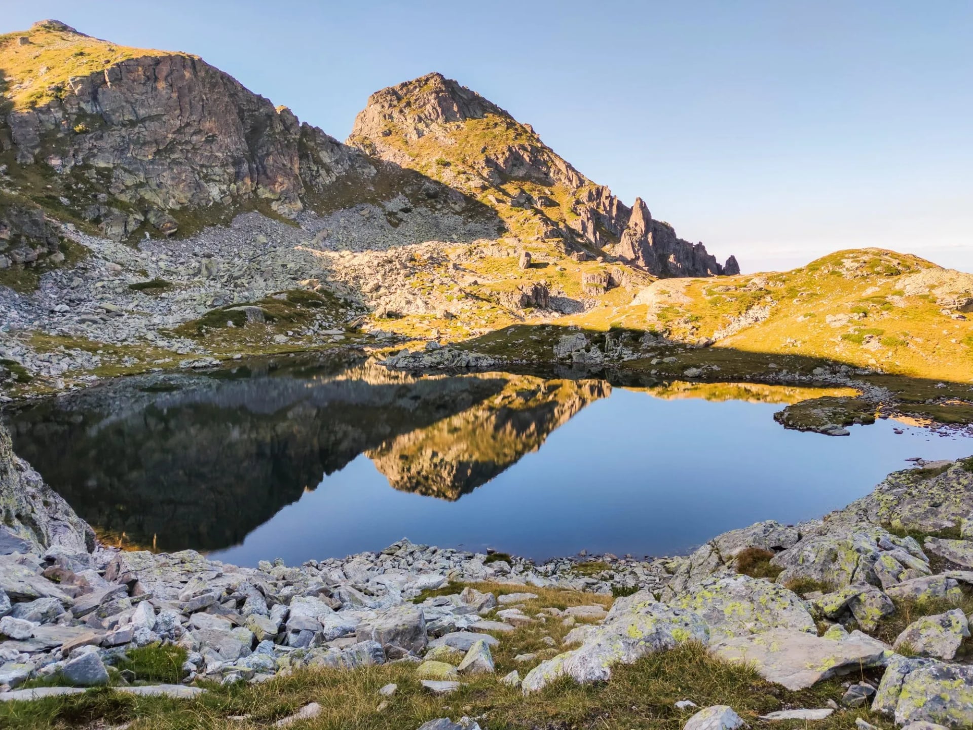
Malyovitsa's north face is a climbing wall, but the marked route is a mountain walk with no climbing gear. Fill your bottles at the hut, the last tap on the way up.
Buses leave Samokov for the resort at 09:15 and 15:30, so most hikers sleep at the hut or drive. With one day and no car, Musala is easier to reach; Malyovitsa has the bigger climb and the wilder cirque.
5. Scary Lake Loop
Distance: about 12 km loop
Climb: about 900 m
Time: 5 to 6 hours
Start: the Malyovitsa resort
Highest point: Scary Lake (Strashnoto ezero) and its shelter, at about 2,400 m
Terrain: a rocky path above the treeline, back past Yonchevo lake
Best for: a quieter lake day from Malyovitsa
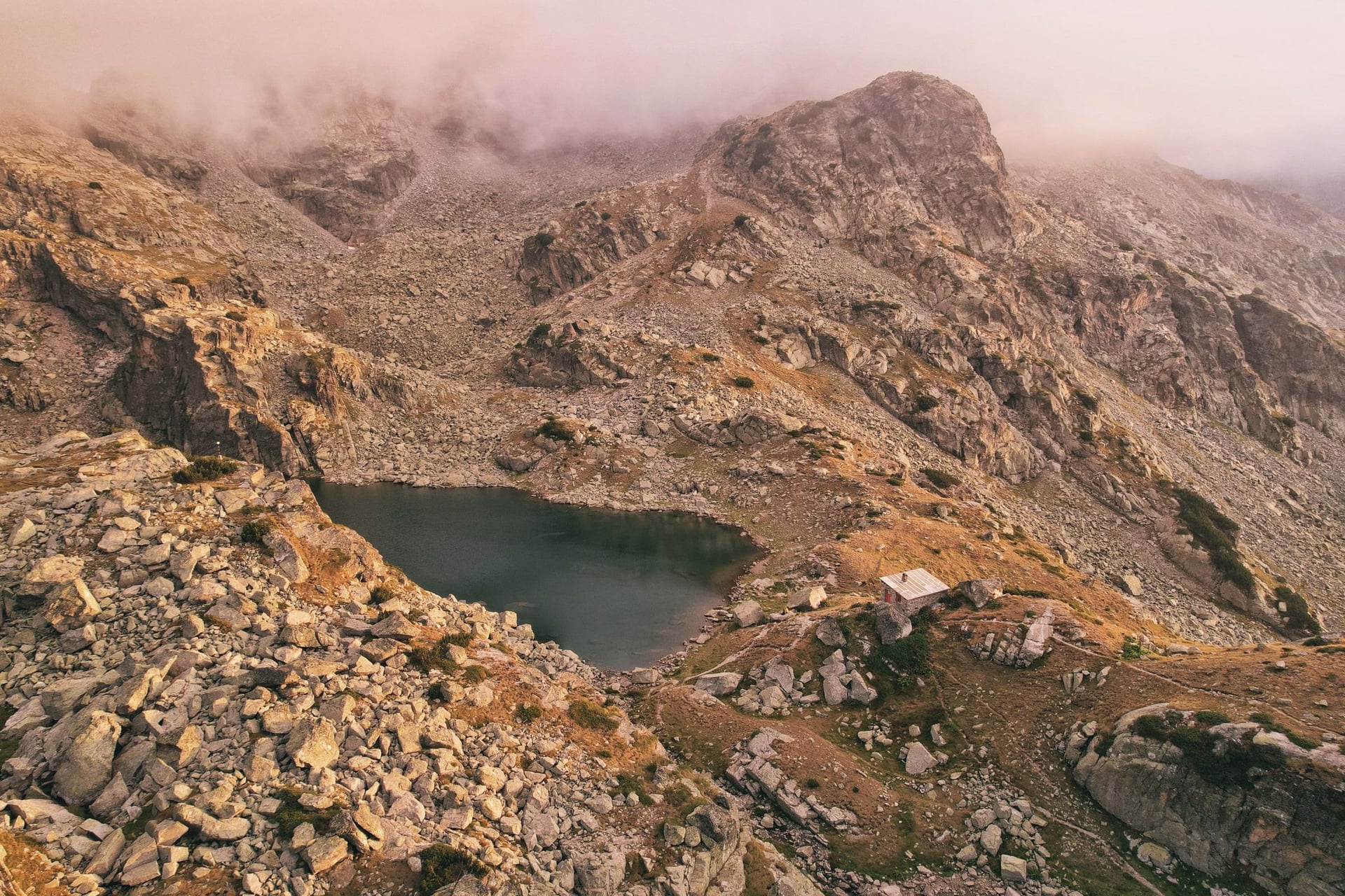
Scary Lake sits in a high cirque east of Malyovitsa, about 2 h 20 from Malyovitsa hut. A small stone shelter stands on its shore on the E4 long-distance path, and a loop back past Yonchevo lake makes a full day.
The shelter has bunks but no staff, water or power. Popova kapa and the Kupens rise above it on unmarked spurs, which suit experienced hikers only.
6. Malyovitsa to Musala Along the Main Ridge
Distance: about 60 km
Climb: about 3,700 m in total, with days of 850 to 1,400 m
Time: 4 to 5 days
Start and end: the Malyovitsa resort to Borovets
Highest point: Musala, 2,925 m
Sleeps: two unstaffed shelters, Ribni Ezera hut, Granchar hut and Musala hut
Best for: experienced hikers who want the whole range
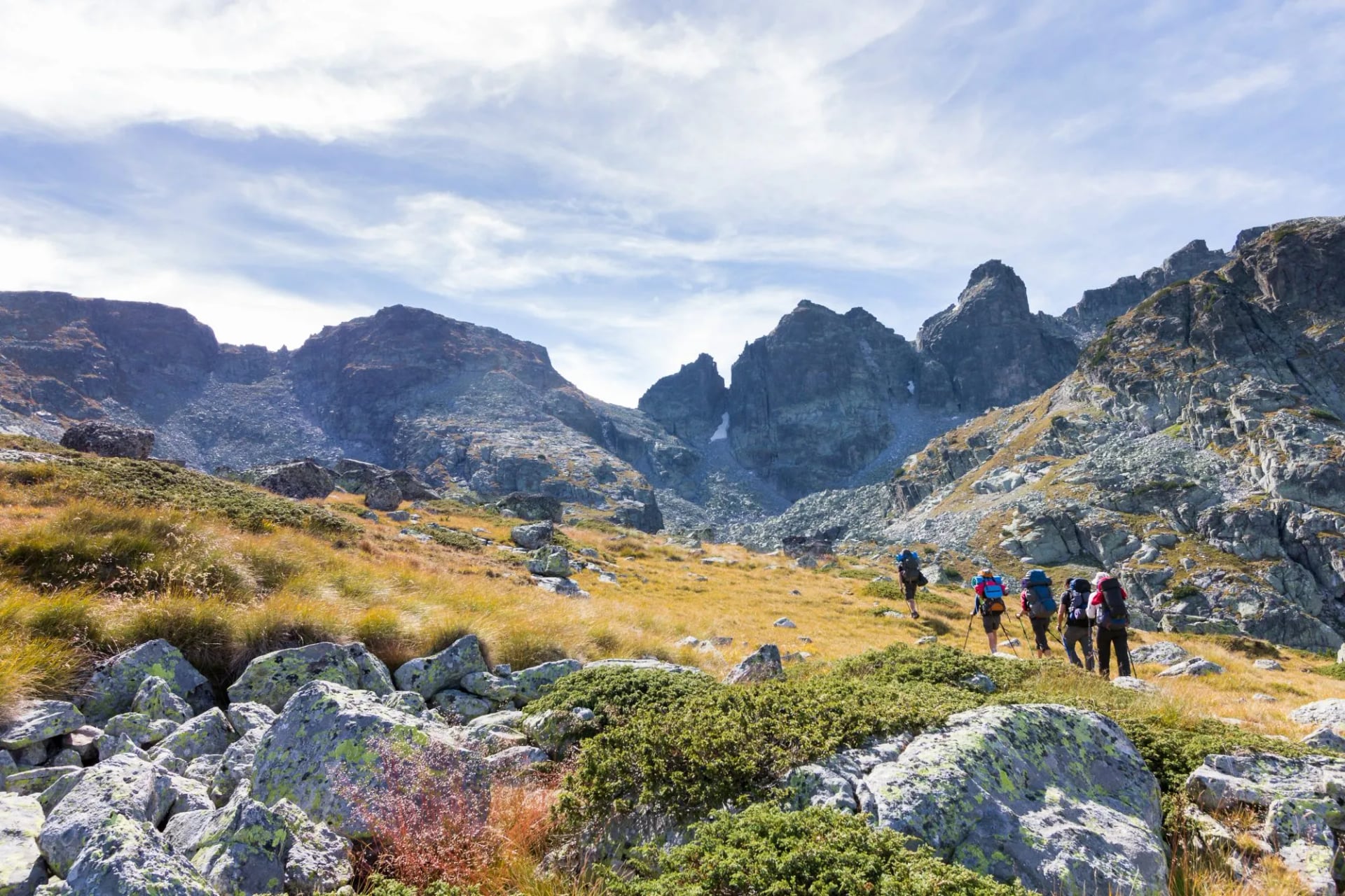
This is the park's main ridge route, on the E4 and E8 long-distance paths. It runs from Malyovitsa past Scary Lake and the Kobilino branishte shelter to Ribni Ezera, then east to Granchar hut, over Musala and down to Borovets.
The days are long and the exits are few. Ribni Ezera to Granchar takes 6 to 8 hours, and the shelters have no water or power, so carry food for those nights. Combined with hike 1, it makes a crossing of the whole range in about ten days.
7. Ribni Ezera and Smradlivo Lake
Distance: about 16 km one way
Climb: about 1,500 m
Time: about 7 hours to the hut, then 1 hour to Smradlivo lake
Start: Kirilova polyana, a meadow at the road end 6 km above Rila Monastery
Highest point: about 2,650 m, on the ridge before the lakes
Sleeps: Ribni Ezera hut, 2,230 m
Best for: the biggest lakes in Rila, over two days
From Kirilova polyana the path climbs to the Kobilino branishte shelter and over the ridge to Ribni Ezera, the Fish Lakes. The hut stands between the upper and lower lake, and Smradlivo, the largest lake in Rila at 21 ha, is an hour beyond it.
This corner is in Rila Monastery Nature Park, not the national park, and sees far fewer hikers than the Seven Lakes. Return the same way, or continue east on hike 6.
8. Skakavitsa Waterfall
Distance: about 13 km return from Panichishte
Climb: about 600 m
Time: about 2 hours up to Skakavitsa hut, then 20 minutes to the falls
Start: Panichishte, or 1 hour down from Rilski Ezera hut at the top of the chairlift
Highest point: Skakavitsa hut, 1,869 m
Terrain: a forest path, easy and well marked
Best for: a short day, a stormy day or the walk down from the lakes
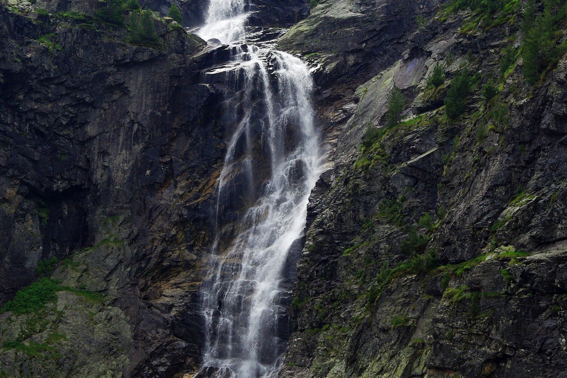
Skakavitsa is said to be about 70 m high, the tallest waterfall in Rila. Skakavitsa hut below it was Bulgaria's first mountain hut, and it celebrated its centenary in 2022.
It also works as the way down from the Seven Lakes: from Rilski Ezera hut it is an hour through the forest to the hut, then 2 hours down to Panichishte.
How Hard Is Hiking in the Rila Mountains?
Hiking in Rila is demanding rather than technical. The marked summer routes in this guide need no scrambling, ropes or climbing gear; the effort comes from climbs of 500 to 1,600 m a day, rocky ground above the treeline and the altitude.
Trail Difficulty
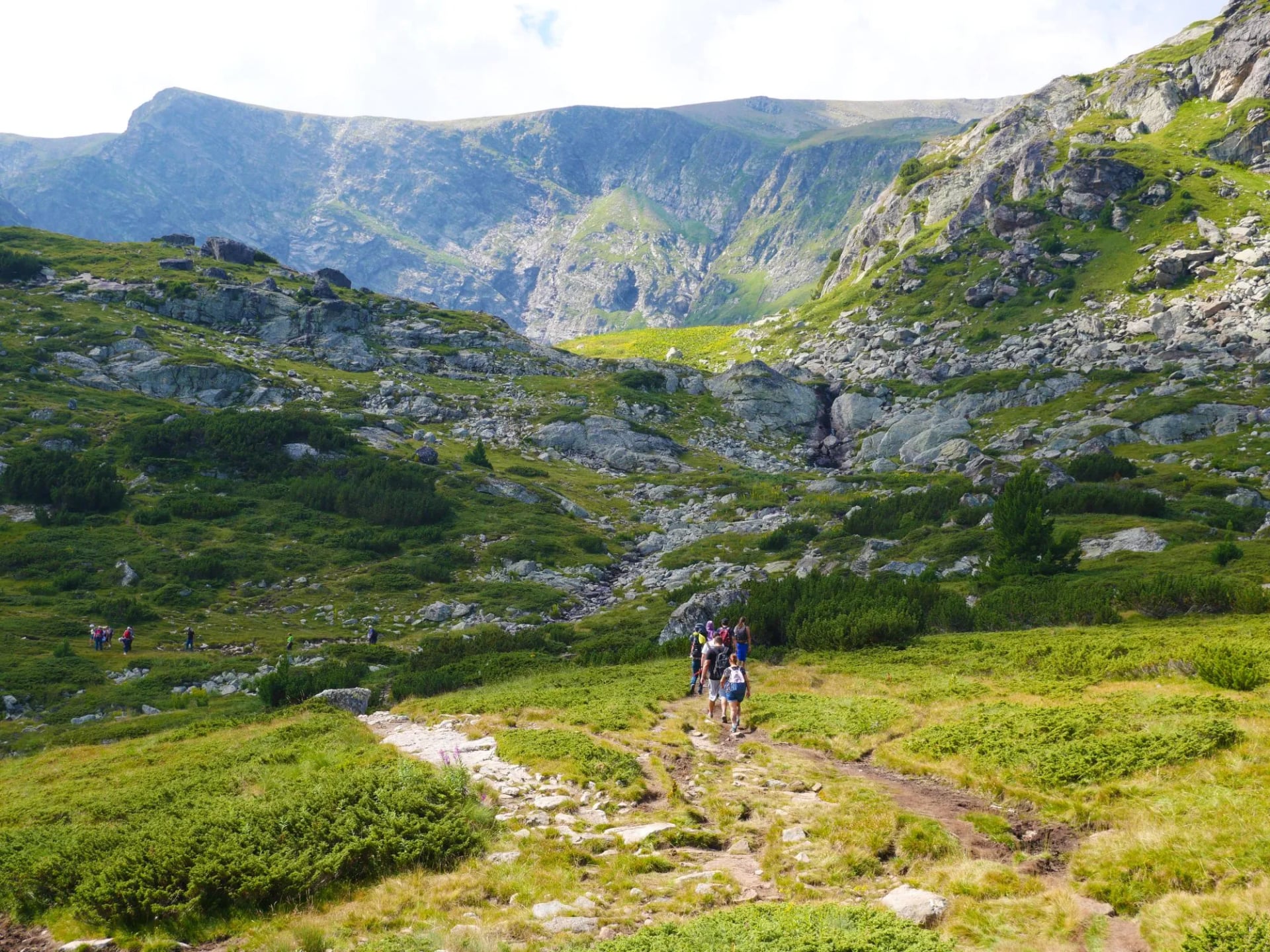
Below about 2,000 m, paths run through forest and pasture and are easy to follow. Above it, expect stony paths and loose ground: boulders below Musala's summit, steep scree on the last section to Malyovitsa and a steep, rocky climb to the Tear.
The high routes stay between 2,000 and 2,900 m for hours, with few places to drop down if the weather turns. Only the unmarked spurs to Popova kapa and the Kupens need more experience.
Waymarking and Maps
Bulgarian trails are marked with a coloured band between two white stripes, in red, green, blue or yellow, and the E4 and E8 long-distance paths share the main ridge. In winter, routes follow black-and-yellow poles numbered from the trailhead.
Carry the Domino "Rila" map at 1:50,000 (2024 edition), which shows huts, springs and the marked routes in Cyrillic and Latin script. Load an offline map on your phone as well, for when fog hides the waymarks.
Safety: Storms, Rescue and Wildlife
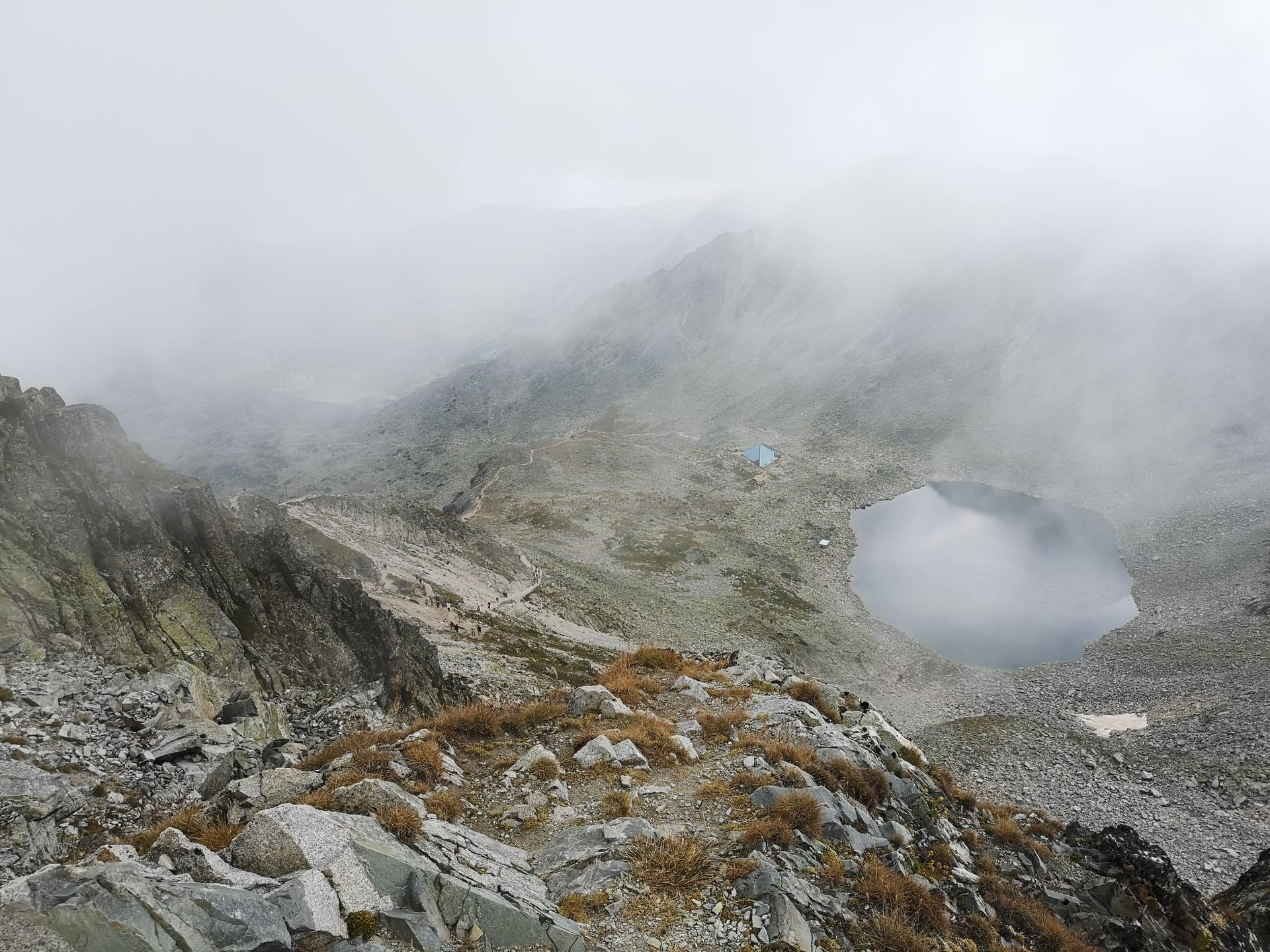
Storms and fog: the Mountain Rescue Service says thunderstorms now come at any point in summer, and fog gets more frequent with height. Start early and be off the ridges by early afternoon.
The last lift: check the last ride on the chairlift or the gondola, because missing it adds 1.5 to 4 hours on foot.
Rescue: call 112, or the Mountain Rescue Service (PSS) on +359 887 100 237. Rescue is charged, at €285 for a mountain accident and €370 for a search, so buy insurance that covers it.
Bears and wolves: both live in Rila's forests, and about 300 to 360 bears roam the Rila and Rhodope ranges. Talk as you walk below the treeline and keep food packed.
Shepherd dogs: large guard dogs work with the summer flocks. Don't run; walk calmly around the flock.
Snakes and ticks: above the treeline the only viper is the adder. Ticks live in the grass lower down, and Lyme disease cases peak in June.
Best Time to Hike the Rila Mountains
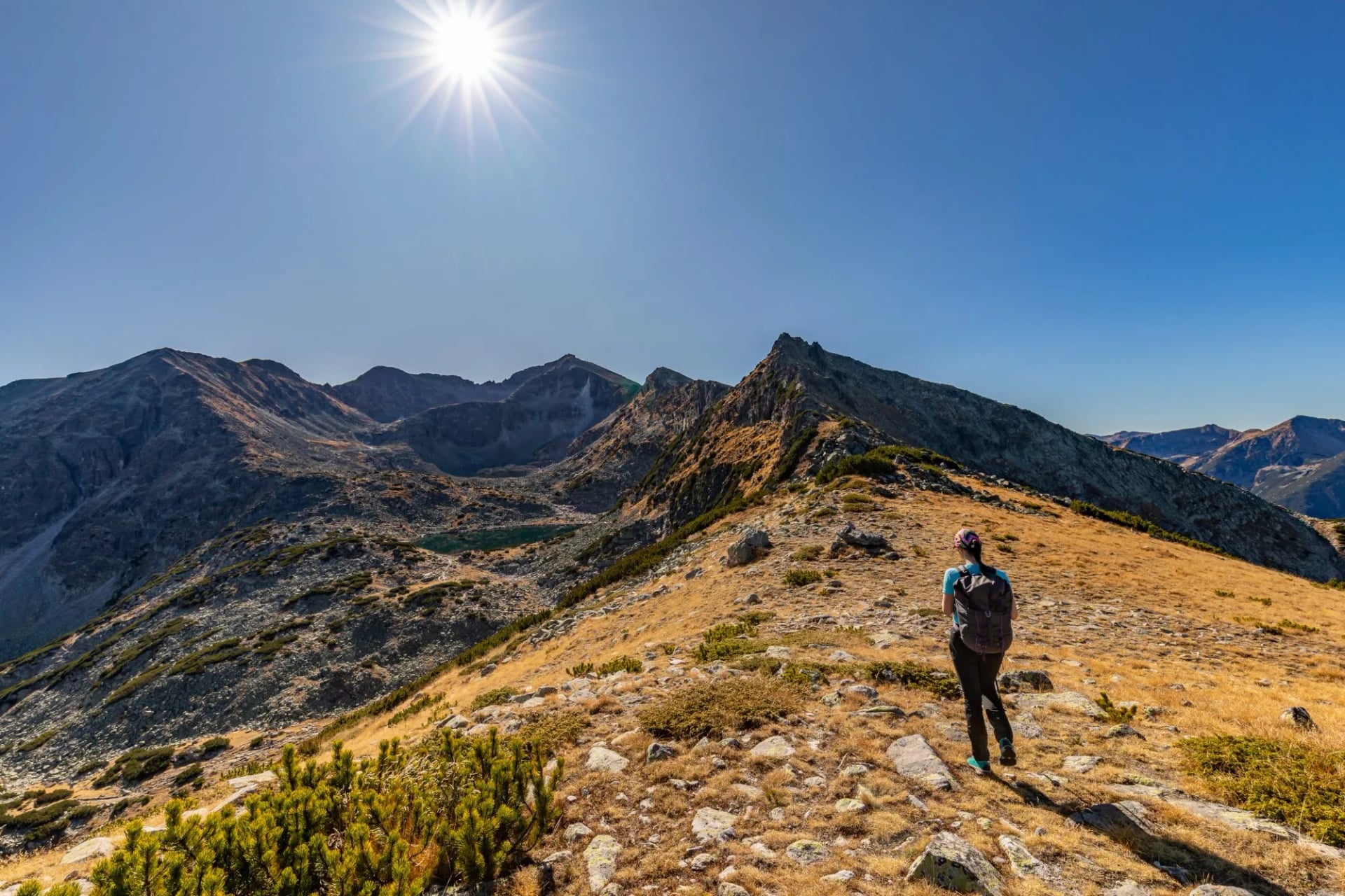
July to mid-September is the main hiking season, when the high paths are mostly clear of snow and the huts and lifts all run. June still has snow patches above about 2,600 m and the fullest lakes; September is quieter, drier and colder at night.
The table uses 1991 to 2020 averages for the weather station on Musala's summit, the coldest point of any hike in this guide. The valleys are about 15 °C warmer.
Month | Musala high / low | Rain and snow | On the trails |
June | 6.6 / 1.2 °C | 80 mm | Snow patches high up; lakes at their fullest |
July | 9.3 / 3.3 °C | 72 mm | Main season; afternoon storms |
August | 9.7 / 3.9 °C | 55 mm | Busiest month; crowds at the lakes on 19 August |
September | 5.9 / 0.2 °C | 48 mm | Quieter and drier; frosty nights |
October | 2.7 / −2.7 °C | 40 mm | First snow possible; lifts close for inspection |
November to May | −7.0 to 2.4 °C highs | 40–98 mm | Snow cover; winter routes only |
Snow lies for 150 to 160 days a year at 2,000 m, and the Tear stays frozen almost nine months, so outside summer the high routes are a winter trip. Rilski Ezera hut and its chairlift also run in winter.
Know Before You Arrive
Huts and Where to Sleep
Rila National Park has 16 staffed huts and 5 shelters, with about 1,500 beds, so you can hike for a week without a tent. Huts are simple: dorms and small rooms, outside toilets at many, and dinner from a short menu.
Hut | Altitude | Places | For hikes | Phone |
Rilski Ezera (Rila Lakes) | 2,115 m | 135–200 | 1, 2, 8 | +359 88 650 9409 |
Sedemte Ezera (Seven Lakes) | 2,194 m | 92 | 1, 2 | +359 882 50 60 60 |
Ivan Vazov | 2,300 m | 73 | 1 | +359 887 727 772 |
Malyovitsa | 1,960 m | 85 | 1, 4, 5, 6 | +359 88 523 2325 |
Musala | 2,380 m | 65 | 3, 6 | +359 896 661 454 |
Ribni Ezera | 2,230 m | 120 | 6, 7 | +359 89 871 8205 |
Skakavitsa | 1,869 m | 73 | 8 | +359 877 388 305 |
Two different huts sit at the Seven Lakes: Rilski Ezera, a large hotel-style hut by the chairlift, and Sedemte Ezera, a basic hut on the shore of Fish Lake. Beds cost about €20 to €23 a night in 2026, and Rilski Ezera takes a deposit by bank transfer. Malyovitsa and Ribni Ezera have indoor bathrooms, Sedemte Ezera uses lake water, and Rilski Ezera and Ribni Ezera also open in winter.
Wild camping is banned in the national park. Tents are allowed only at signed bivouac places, for up to three nights, and at the Seven Lakes only around the two huts. Open fires are banned everywhere, and the park's rules set fines from €256.
Getting There From Sofia
Samokov is the hub for the north and east of the range: buses leave Sofia's Yug station every half hour and take about 1 h 15.
Borovets, for Musala: 8 buses a day from Samokov, €1.53.
Govedartsi and the Malyovitsa resort: 6 to 8 buses a day from Samokov to Govedartsi, and 2 to the resort, at 09:15 and 15:30.
The Seven Lakes: a bus from Sofia to Dupnitsa and on to Sapareva Banya, then a taxi for the last 15 km to the chairlift.
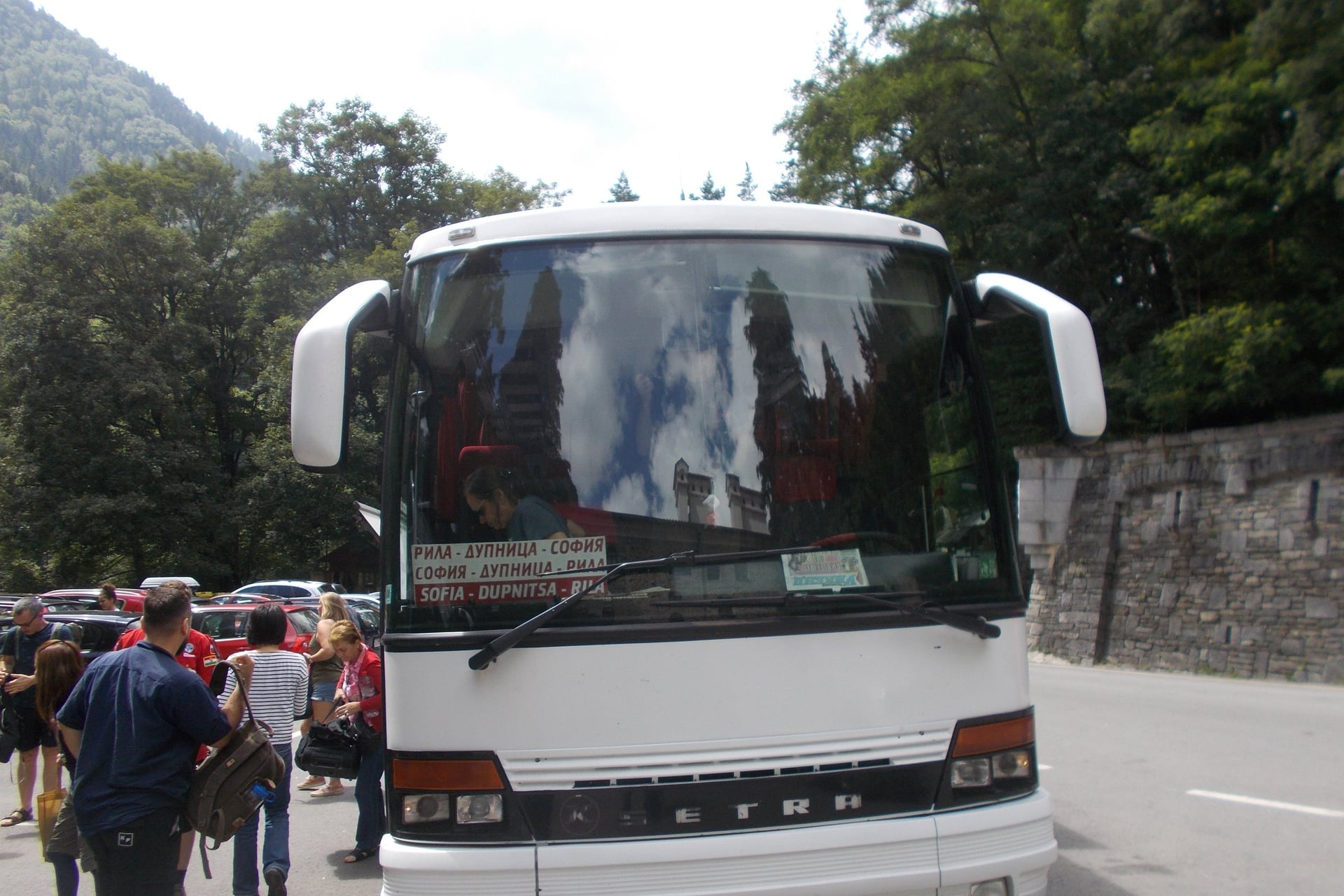
Rila Monastery: a daily bus leaves Sofia's Ovcha Kupel station at 10:20 and returns at 15:00; check the timetable before you go.
By car: from Sofia airport it takes about 1 h 30 to Samokov, 1 h 45 to Borovets and 2 hours to Rila Monastery.
The lakes and the monastery are on opposite sides of the range, so you can't see both comfortably in one day by bus.
Cash and Costs
Bulgaria has used the euro since 1 January 2026, and the lev stopped being legal tender on 1 February. Huts don't advertise card payments, so carry cash. Take it out before you leave town: the ATMs closest to the trailheads are in Samokov, Borovets and Sapareva Banya, and none are mapped at Panichishte, the chairlift, the Malyovitsa resort or Rila Monastery.
Typical 2026 costs are €20 to €23 for a hut bed, €16 for the chairlift return, €3 to €4 for the bus from Sofia to Samokov, and €12 for the monastery museums. Hut meals are cheap, so €35 to €45 a day covers a bed, dinner and breakfast.
What to Pack
Pack as for any summer mountain trip above 2,000 m: boots with good grip, a waterproof jacket and trousers, a warm layer, a hat and gloves, sun cream, sunglasses, a first-aid kit and 1.5 to 2 litres of water. Musala's summit averages a high of 9 °C in July, and July has seen −6 °C.
What Rila adds to that list:
Walking poles for the scree on Malyovitsa and the boulders on Musala
A sleeping-bag liner and a head torch, because many huts have outside toilets
A water filter or tablets, as some huts use lake water
Euro in cash
The Domino map and an offline map app
Proof of insurance that covers mountain rescue
Clothes that cover your knees and shoulders for Rila Monastery
Plan the Hut Nights First
Rila's huts are small and most take bookings by phone, and the lakes fill up in August. The gateways are also on different sides of the range, so the transfers take as much planning as the walking.
Our self-guided Best of Rila Mountains tour books the huts and hotels for hike 1 and puts the route on a GPS app.
Days: 7, with 5 walking days
Route: Govedartsi, the Seven Lakes, Ivan Vazov hut, Rila Monastery, Malyovitsa hut and back to Govedartsi
Daily distance: 8 to 16.4 km
Season: June to September
Included: 3 hut nights with half-board, 3 hotel nights with breakfast, a digital guidebook and the GPS app
For the next range south, see our Pirin Mountains hiking guide. For the rest of the country, read our guide to hiking in Bulgaria.
Frequently Asked Questions

About this author
Ajda is our travel advisor, raised in a village surrounded by mountain peaks. Hiking entered her life early on and remains her favorite way to reconnect with nature.















.jpg&w=828&q=75)

















































.jpg&w=828&q=75)























