Hiking in Romania: The Carpathians and Saxon Villages
The Carpathians shape Romania's hiking country with wild ranges, glacial lakes, medieval Saxon villages, and 1,400 km of trails that pass them.

Ajda
Published September 3, 2026
Edited September 3, 2026
12 min read
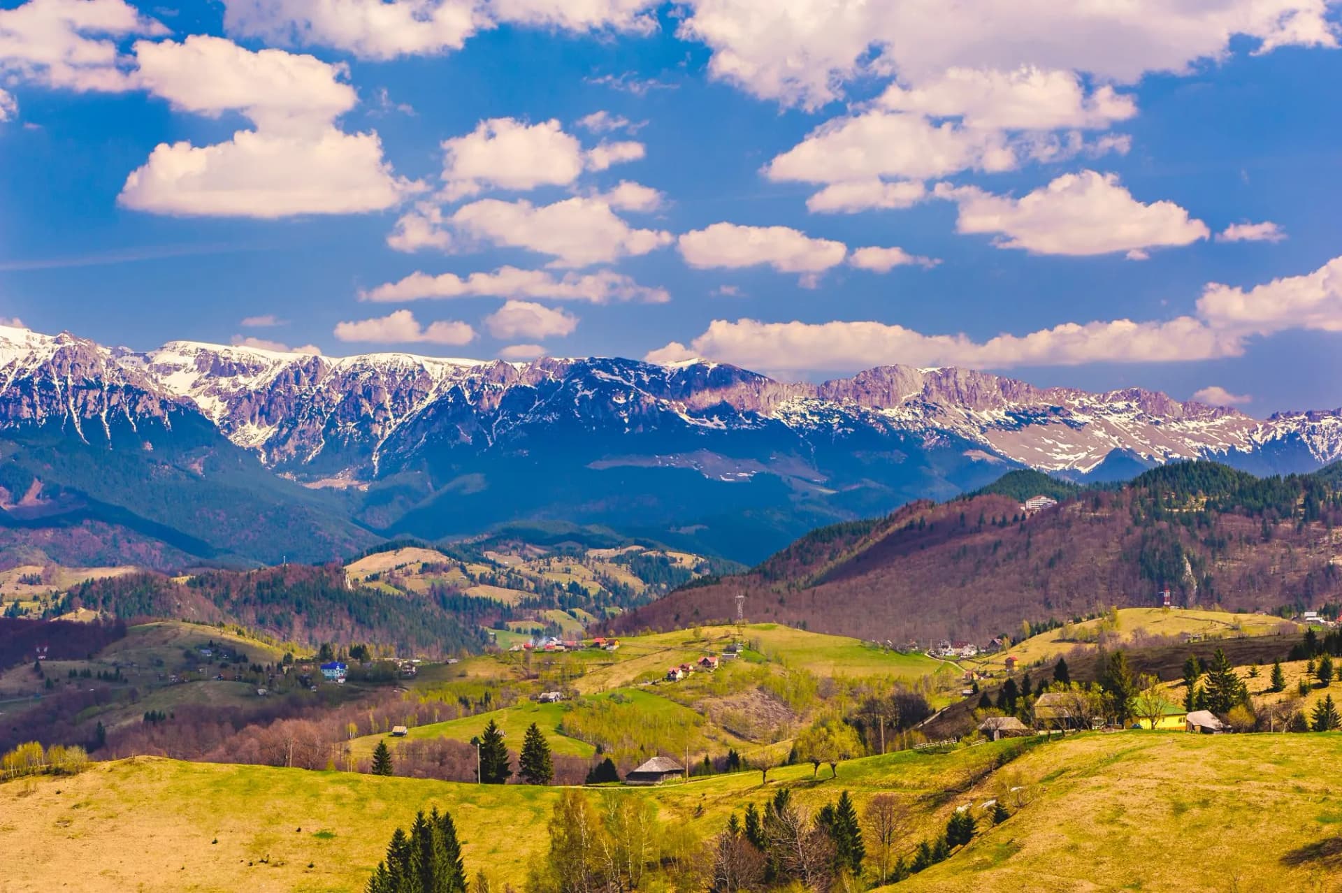
Romania sits at the eastern edge of the European Union, and its geography is defined by the Carpathian arc, an S-shaped mountain range that curls across most of the country. The combination is unusual in Europe: still-wild alpine terrain, medieval Saxon villages that have held their form for centuries, and a brown bear population larger than anywhere else in the EU.
The country's flagship walking trail, the 1,400-kilometre Via Transilvanica, strings together fortified churches and small mountain villages across ten Romania's counties. Most first-time hikers, though, come for the ranges themselves — Piatra Craiului's limestone spine, the Bucegi plateau outside Bucharest, and Retezat's glacial-lake wilderness in the west.
At a glance:
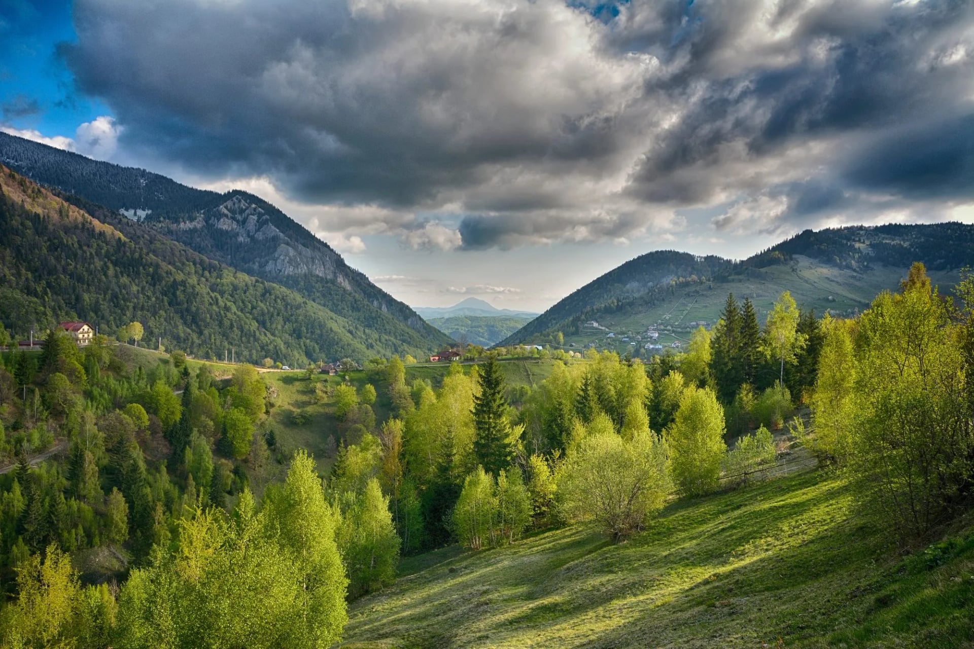
Where: the eastern edge of the EU, with the Carpathian arc running through the country.
What: four main hiking areas — Piatra Craiului, the Bucegi Mountains, the Via Transilvanica, and Retezat National Park — plus the higher Făgăraș range for advanced walkers.
Difficulty: ranges from 2/5 fitness on the Via Transilvanica villages to 4/5 on the alpine ridges of Piatra Craiului and Retezat.
When: June to September is the reliable window. July and August for the high ranges; the shoulder months for the villages.
Where to Hike in Romania
Romania's hiking splits naturally into four areas, each with a different character and different fitness demands. Picking between them is the first decision of any Romania trip.
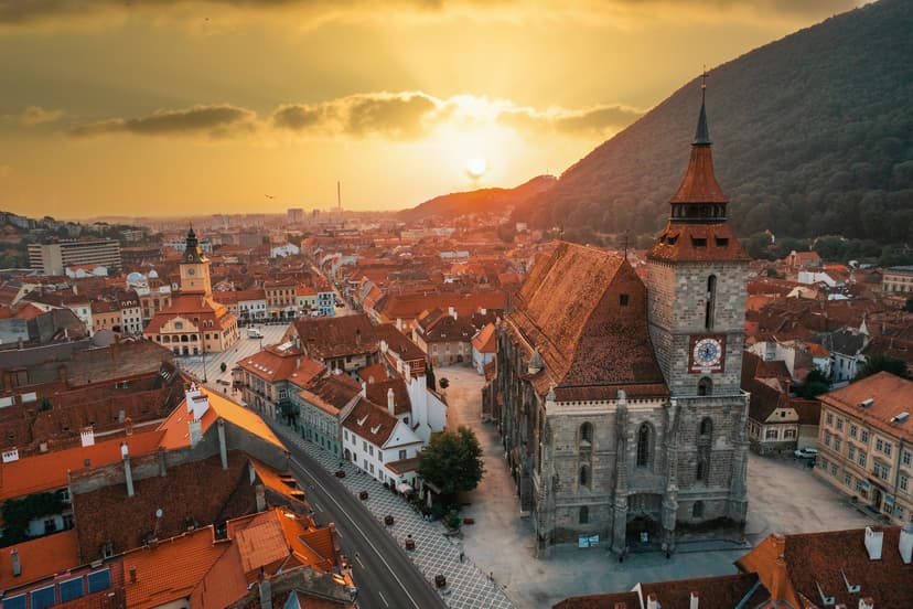
Piatra Craiului is a narrow limestone ridge in the Southern Carpathians, about two hours north-west of Bucharest. It's the range where most of Romania's technical alpine walking happens — a 25 km spine of jagged white rock rising above pine forest, with the medieval town of Brașov and Bran Castle within easy reach. Best walked June to September.
The Bucegi Mountains are the closest big range to Bucharest, little over an hour from the capital by train or car. They're famous less for their peaks than for the wind-sculpted rock formations on the plateau — the Sphinx and Babele, both above 2,200 metres — and for the neo-Renaissance Peleș Castle at their northern foot. Accessible year-round by cable car, walkable May to October.
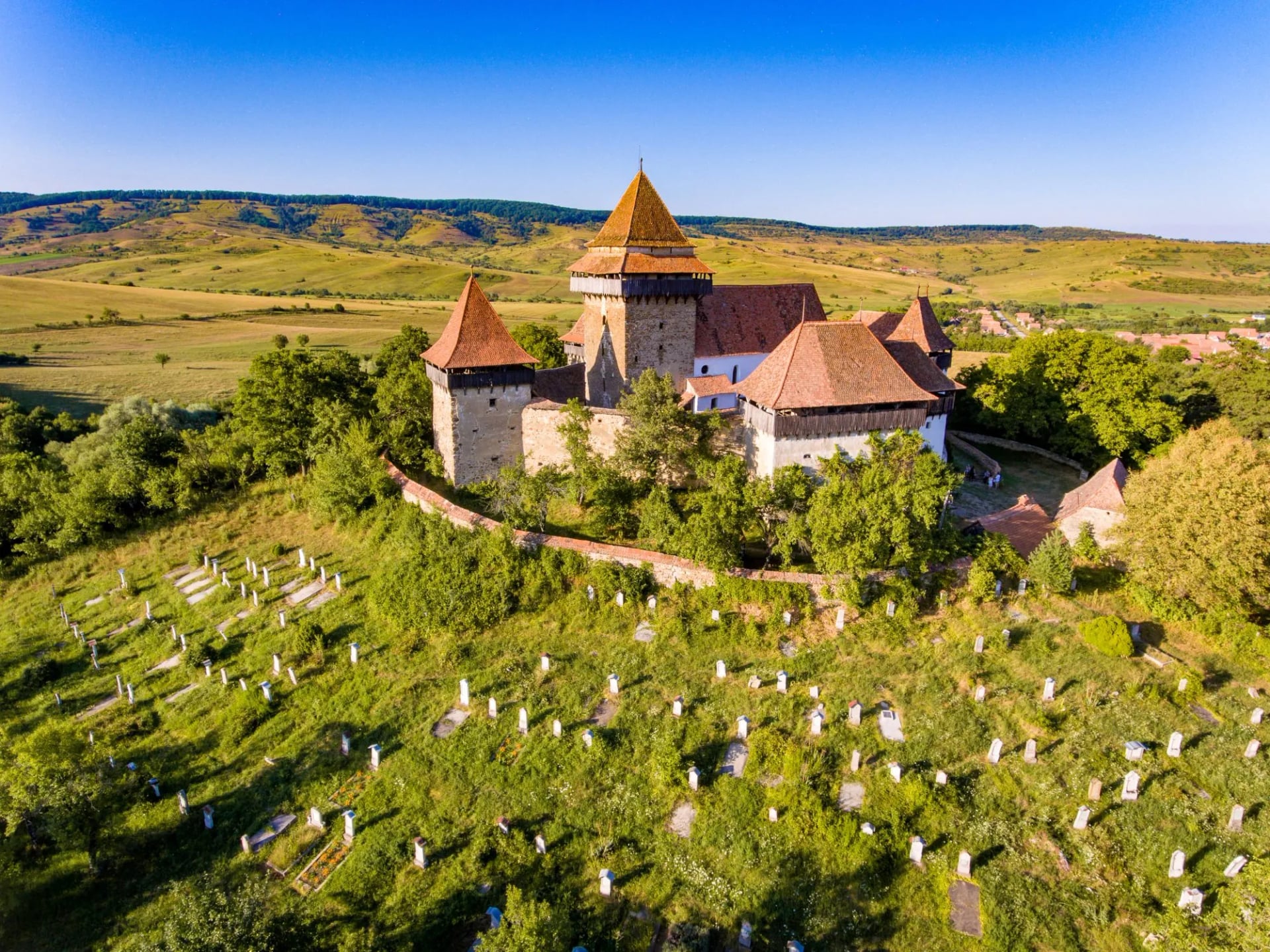
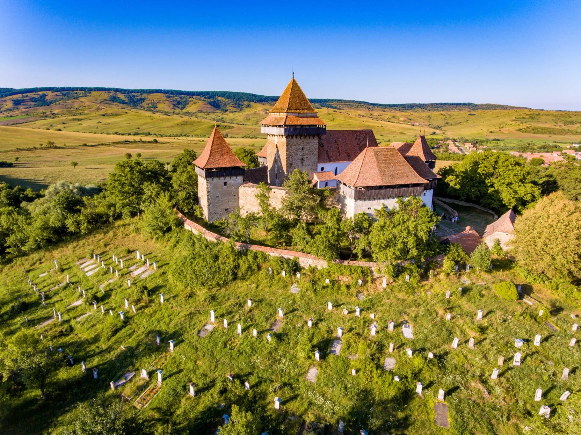
The Via Transilvanica is different from the rest — a 1,400 km waymarked walking trail that runs the length of Romania from the northern Bukovina region down to the Danube in the south. It's cultural rather than alpine, threading through fortified Saxon villages, medieval towns, and small ranges of hills. Walkable April to November.
Retezat National Park sits in the western Southern Carpathians and is the wildest of Romania's parks — 80+ glacial lakes, brown bears, wolves, chamois, and Peleaga at 2,509 metres. UNESCO listed it as a Biosphere Reserve in 1979. This is the range for walkers who want alpine wilderness with no easy retreat.
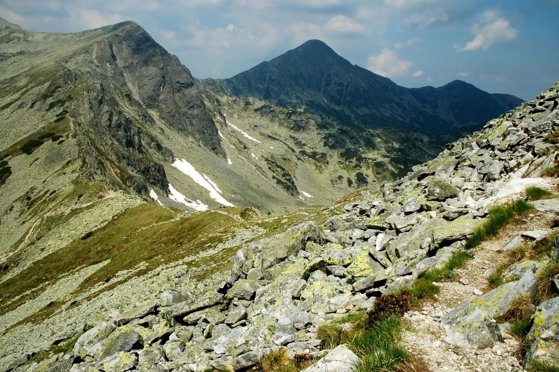
Piatra Craiului
Piatra Craiului ("the king's rock") is the country's narrowest and most dramatic ridge — a sheer limestone spine 25 km long, rising to Vârful La Om at 2,238 metres. The range is essentially a single wall of rock, oriented north–south, and the classic traverse walks the crest from end to end over two hard alpine days, with several exposed passages that require basic scrambling.
For most walkers, though, Piatra Craiului is best experienced from Magura or Peștera — traditional villages inside the national park, with pastured slopes, ash and beech forest, and unbroken views up to the ridge. From either village you can day-walk into the range on marked trails without committing to the full crest traverse, and combine the hiking with visits to Bran Castle at the range's eastern foot.
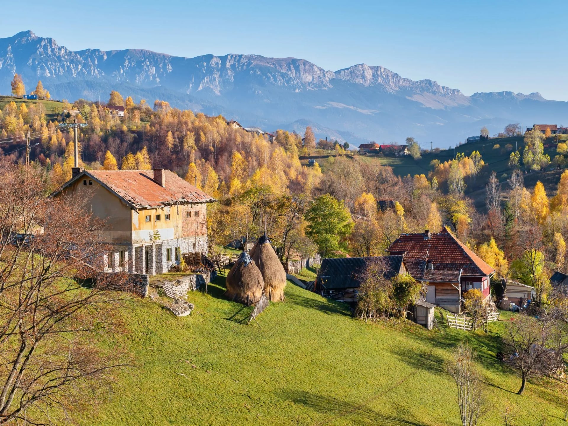
Our seven-day tour is built around Piatra Craiului National Park and the Brașov area, with days in Magura, the pastured Piatra Craiului trails, the medieval town of Brașov, and a visit to Bran Castle. Technical demand is 4/5 for walkers who want to attempt the ridge; fitness is 4/5 for the full week.
The Bucegi Mountains
The Bucegi are the range most Romanians hike first, because they sit a good hour from Bucharest by train and under an hour from Brașov, and because the walking is more forgiving than the ridges to the west. The characteristic terrain is a broad grass and rock plateau above 2,000 metres, cut by dramatic valleys on all sides, with cable cars from Sinaia and Bușteni that lift walkers straight up to the plateau.
The two features most walkers come to see are the Sphinx and Babele — wind-eroded rock formations at 2,216 metres — and the alpine lake of Bolboci in the western valley. On the plateau itself, day-walks connect these features with the summits of Omu (2,505 metres, the range's highest) and Costila. In the valleys below, the neo-Renaissance Peleș Castle and the smaller Pelișor sit above Sinaia, where most itineraries stay.
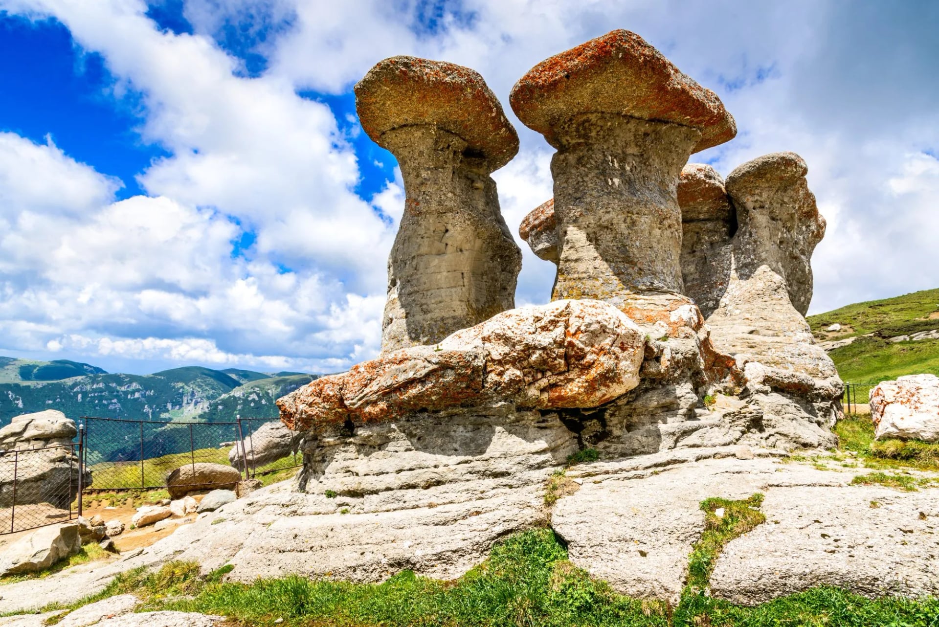
Our four-day Bucegi tour bases you in Sinaia, uses the cable car for the strenuous climb up to the plateau, and covers the Sphinx, Babele, Omu Peak, and the descent through the Gaura Valley — a proper introduction to Romanian mountain walking without alpine-grade commitment.
The Via Transilvanica
The Via Transilvanica is a comparatively new addition to European long-distance walking — a 1,400-kilometre waymarked route that runs the length of Romania from Putna in Bukovina down to Drobeta-Turnu Severin on the Danube. It was fully completed in 2022 and quickly became the country's flagship walking project.
Unlike the alpine trails elsewhere in the Carpathians, the Via Transilvanica is a cultural walking trail. It passes through fortified Saxon churches, small farming villages, Romani towns, mountain shepherd pastures, and the medieval centres of Sighișoara and Alba Iulia. The path is divided into named regions — Bucovina, the Highlands, Terra Siculorum, Terra Saxonum, Terra Dacica, Terra Banatica and Terra Romana, with Terra Borza Teutonica added in 2025 — and each has its own landscape and dialect.
You don't need to walk the full trail. Most people pick the Terra Saxonum stretch through southern Transylvania, where the fortified churches are densest and the walking is easiest.
Our eight-day tour covers the Saxon-heartland section of the route with inn-to-inn walking that never asks for more than 20 km in a day, and includes visits to Viscri and a rest day in Sighișoara.
Retezat National Park
Retezat is Romania's oldest national park (established in 1935) and its wildest. It sits in the western Southern Carpathians, roughly halfway between the towns of Hațeg and Petroșani, and it covers around 380 km² of alpine terrain — meadows, granite peaks, and more than 80 glacial lakes, the greatest concentration anywhere in the Carpathians. The park is a UNESCO Biosphere Reserve, home to brown bears, wolves, lynx, and chamois.
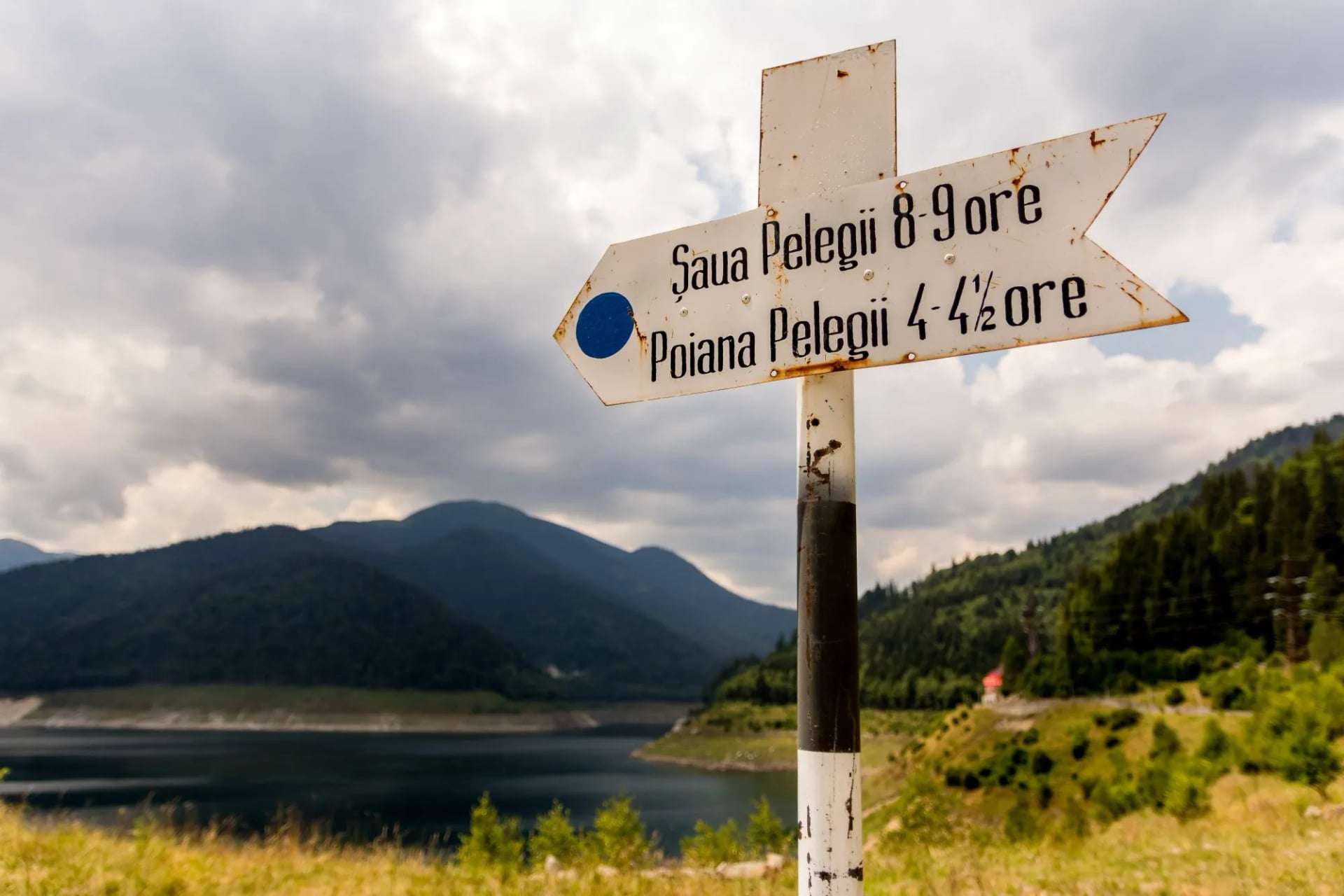
The signature walk is up to Bucura Lake — the largest glacial lake in Romania at just over 2,000 metres — and onward to the summit of Peleaga at 2,509 metres, the park's highest point. This is done as a two- or three-day traverse from Poiana Pelegii, staying at Cabana Pietrele or the Bucura refuge. It's genuine alpine walking with weather that turns fast, no cable cars, and no roads inside the park.

Our four-day Retezat tour walks the classic Bucura circuit — from Poiana Pelegii up to Bucura Lake, out to a Peleaga summit day, and back down through the meadows. It's a short but demanding few days for anyone who wants the wildest end of the Carpathians on a first Romania trip.
When to Hike in Romania
Romania's usable hiking season is short by European standards. The Carpathians hold snow at altitude well into June, and by mid-October the high ranges are already dropping into winter conditions. That leaves a four-month window for reliable alpine walking, with the softer trails on the Via Transilvanica extending a month or two on either side.
May
Villages and lower valleys are walkable, and the Via Transilvanica is at its best in the pastureland stretches. High-altitude trails in Piatra Craiului and Retezat still carry snow.
June
Snow lingers on ridges until mid-month, but by the last week most high routes are open. Wildflowers peak now, especially the rhododendrons around Bucura Lake.
July–August
The reliable window for the high ranges. Days are long, huts are open, and afternoon thunderstorms are the main hazard — plan mornings on exposed ridges.
September
The best all-round month. Trails are quieter, temperatures are comfortable, and the light softens through the beech forests.
October
Villages and the Via Transilvanica are still walkable, but the high ranges are already unpredictable. First snow can arrive at 2,000 metres by mid-month.
November to April
Off-season for hiking. The country switches to winter sports, and the alpine huts close.
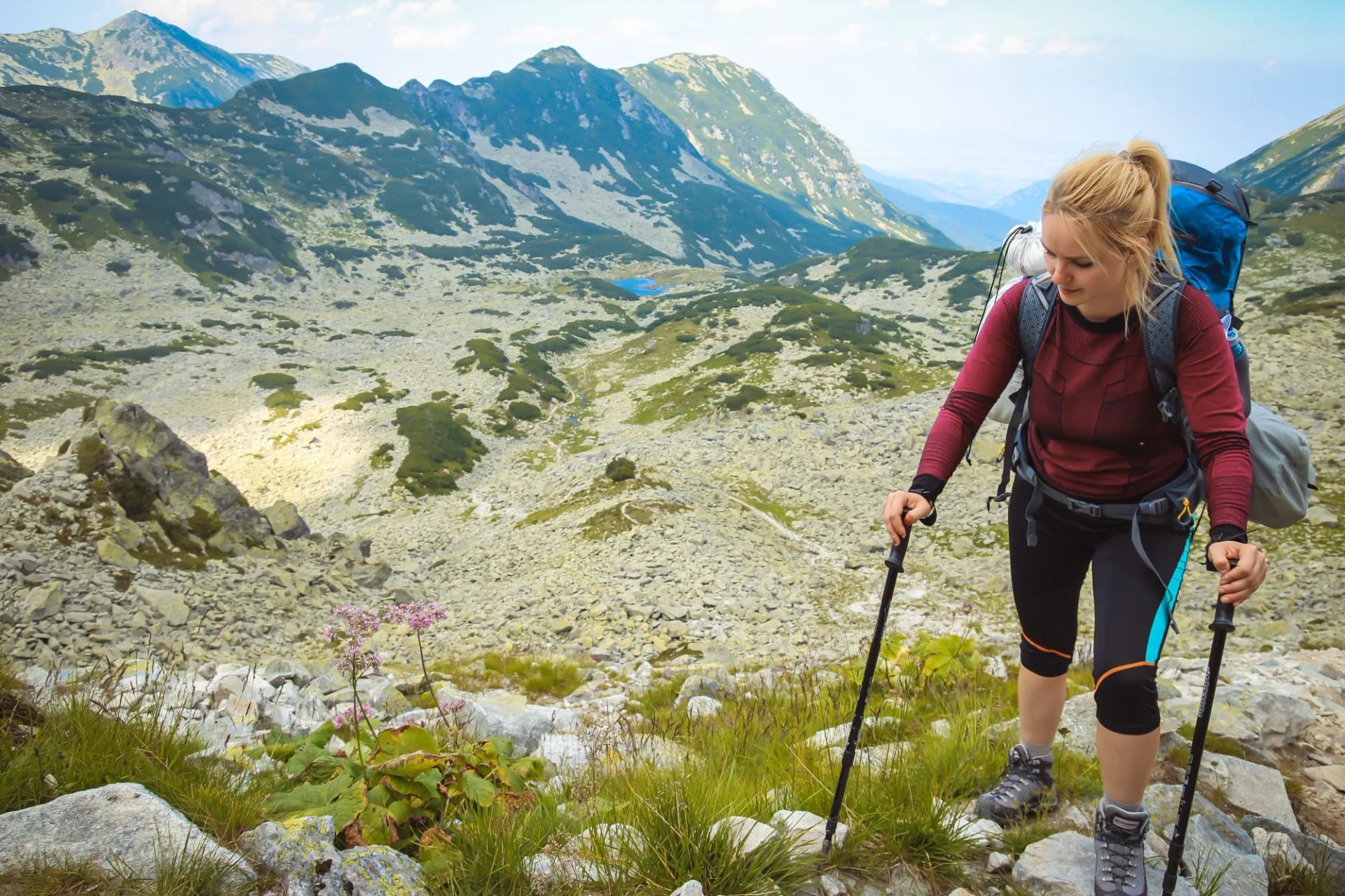
For accurate forecasts, the Romanian National Meteorological Administration (ANM) publishes forecasts for over 300 locations, including specific mountain forecasts for the ranges. Its mountain-weather page is worth checking daily during your trip.
Caution on the Trail
Romania is different from Alpine walking countries in three practical ways that guidebooks tend to gloss over. Take these seriously — they're the reason most walking incidents in the Carpathians happen.
Brown bears
Romania has roughly 6,000 to 8,000 brown bears — by a wide margin the largest population in the European Union. Sightings on trails are common, and encounters that turn dangerous do happen every year, particularly in the Bucegi and Piatra Craiului ranges where bears have learned to associate humans with food. Never feed a bear, never approach one, and never run. Walk in groups of three or more, make noise on trails through dense forest, and store food in sealed containers overnight. If you're staying in mountain villages, keep bins closed and food out of parked cars.
Shepherd dogs
In Carpathian pastures during the summer transhumance (roughly June to September), shepherds move sheep flocks to high meadows and defend them with guardian dogs — most commonly the Carpathian Shepherd and the Mioritic. These dogs are working animals, not pets, and they read walkers approaching a flock as a threat. If you meet a flock, stop, avoid eye contact with the dogs, and let the shepherd call them off. Carrying a walking stick helps; hitting the dog does not.
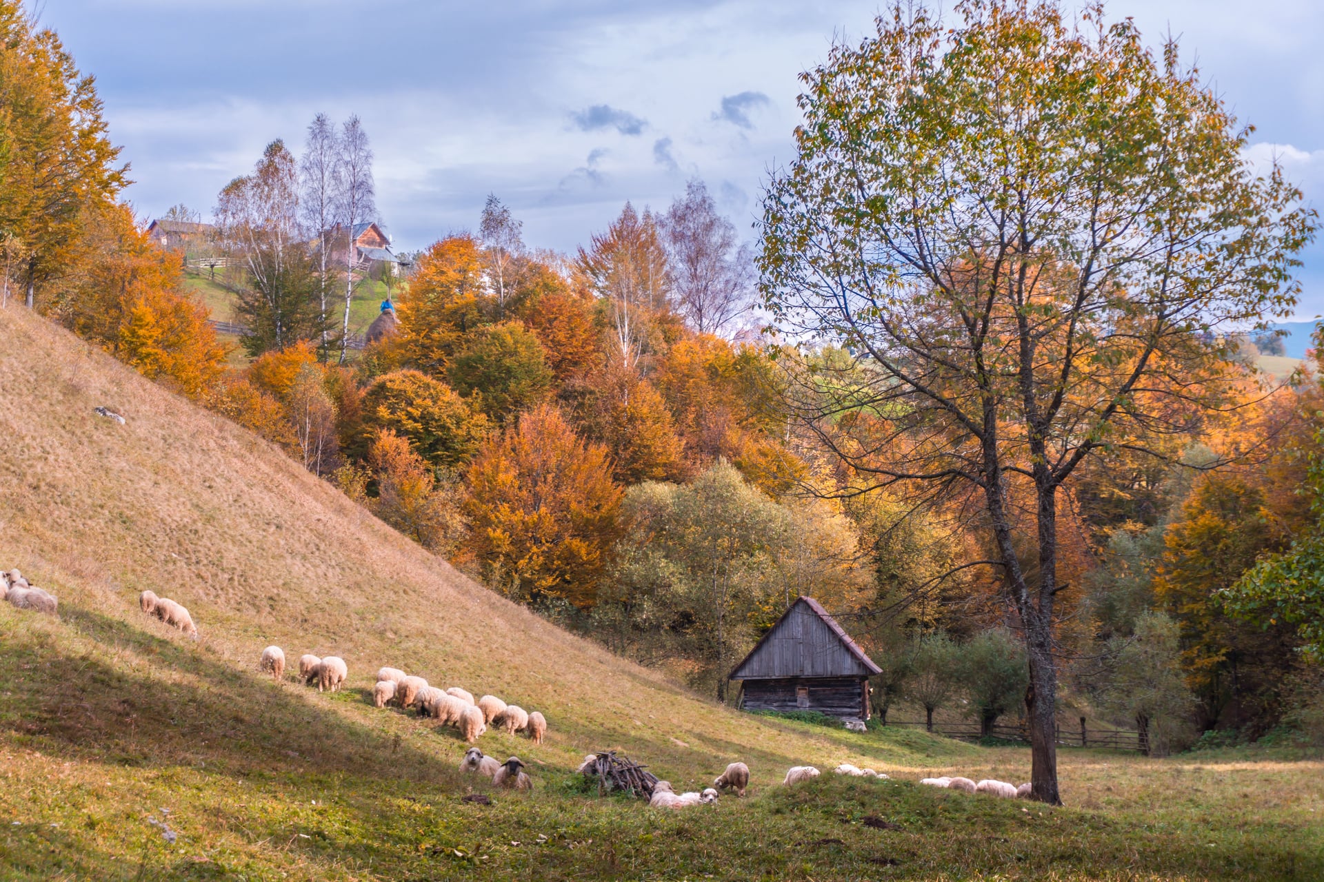
Waymarking
Romania's trail system uses coloured geometric symbols — a red stripe, a blue triangle, a yellow dot, and so on — rather than the numbered systems familiar in the Alps. The color and shape tell you which route you're following. Three colours and four shapes give twelve combinations, and each trail in a given area takes a different one — so no two trails that meet ever carry the same marker.
The main markings:
Stripe — a main ridge route. Ridge lines always carry red.
Cross — your route crosses another along the way.
Triangle or triangle and a circle — a secondary route.
Red dot — a circuit.
Secondary markings (less common):
Double circle, white around a coloured one — a round trip.
Red or blue square in a white border — boundary of a national park or nature reserve.
Coloured C in a white border — a cycling route.
Black-and-yellow chequerboard — avalanche-exposed ground.
Four important additions
In the Carpathians, signposts stand at trailheads, junctions and out on the open alpine plateaus, with painted blazes on trees and rocks in between. Two-colour arrows — white plus your route's colour — mark every change of direction, and several markings painted side by side mean the section is shared by more than one route.
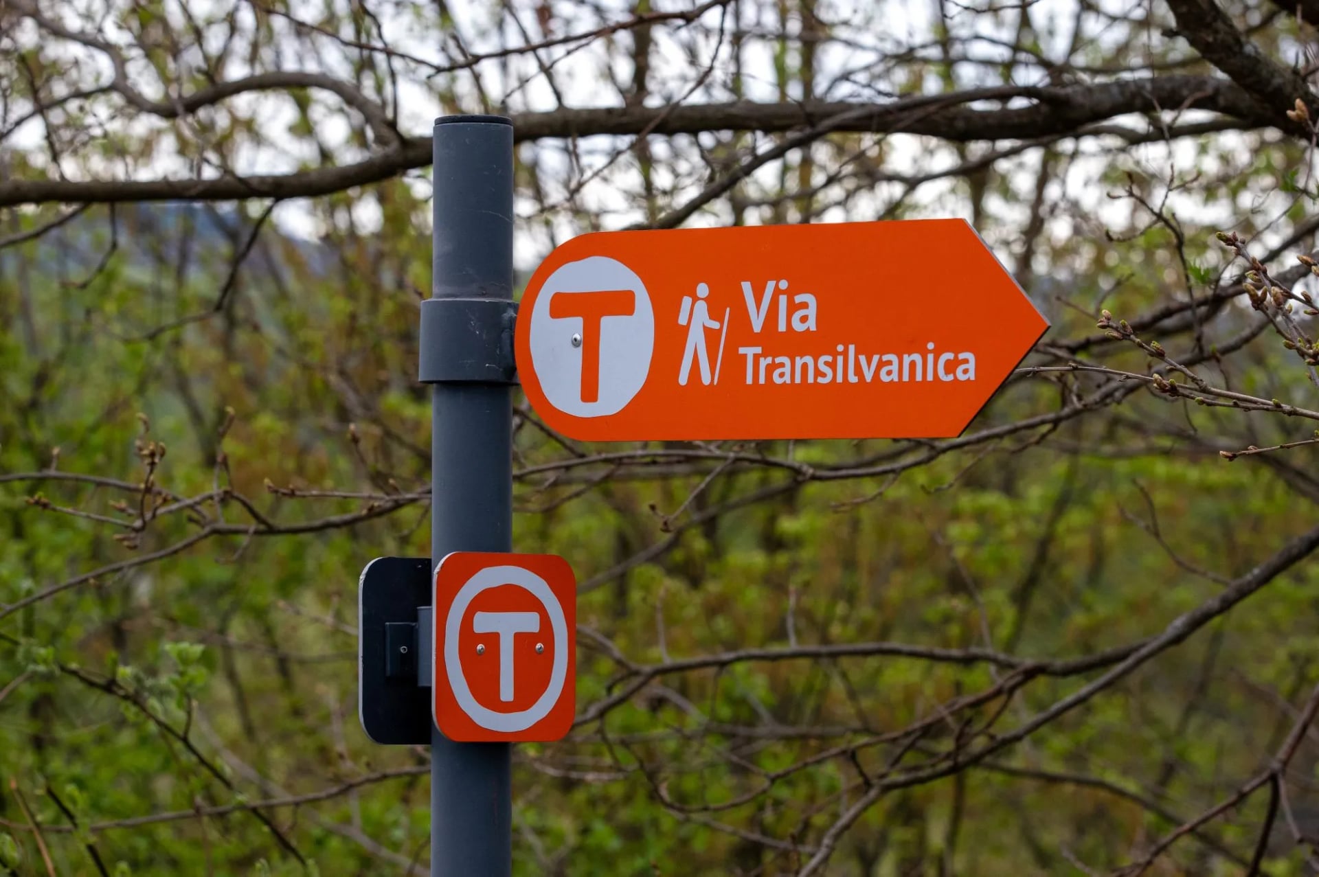
The Via Transilvanica ignores the Carpathian system entirely. It carries an orange T on white, painted on trees, rocks and posts the whole way, and there's no mistaking it for a red, blue or yellow mountain marker.
On the Bucegi plateau and the high ridges of the Făgăraș and Piatra Craiului, some routes carry a sign reading Interzis iarna — forbidden in winter.
Junction signage in Romania is inconsistent: carry a map and a GPS track from a source you trust.
For emergencies in the mountains, Romania has a volunteer mountain rescue service called Salvamont, reachable on 0725 826 668 or the general 112 emergency line. Save both numbers before you set out.
Choosing Your Romania Trip
For the wildest end of the Carpathians, the Retezat four-day is the strongest pick — proper alpine walking, glacial lakes, and no easy way out.
For dramatic scenery paired with medieval castles and villages, Piatra Craiului offers the country's signature limestone ridge.
For a first Romanian mountain trip without the alpine commitment, the Bucegi four-day gets you the plateau and the Sphinx with cable-car support.
And for a cultural walking week rather than a mountain one, the Via Transilvanica covers the Saxon heartland at village pace.
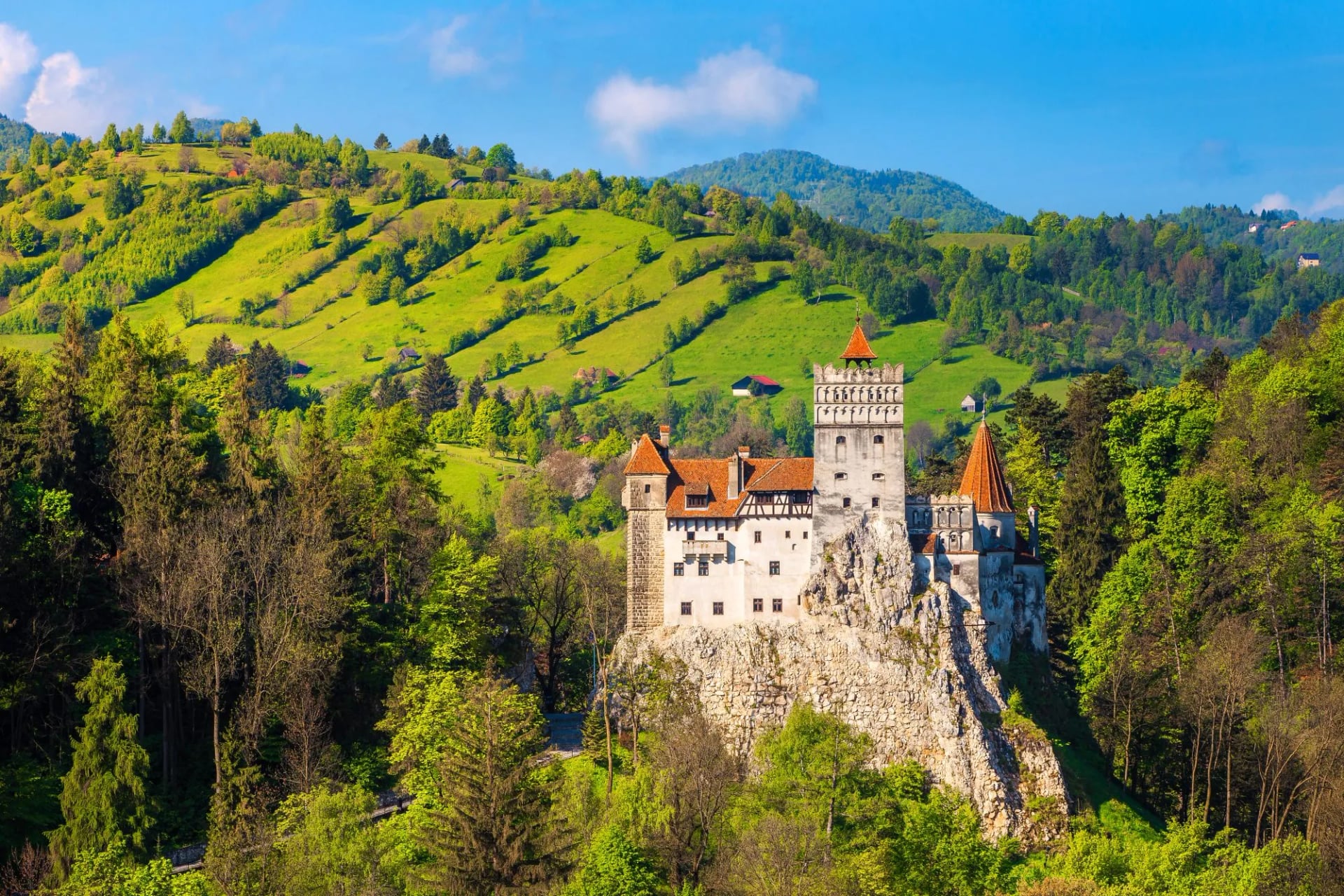
All four are self-guided — accommodation, transfers, a digital guidebook, and phone or WhatsApp support are handled for you, so the walking is the only thing left to do.
Have more questions about which range fits your dates and fitness? Get in touch with our team — we'll help match a Romania walk to what you're after.

About this author
Ajda is our travel advisor, raised in a village surrounded by mountain peaks. Hiking entered her life early on and remains her favorite way to reconnect with nature.



















































.jpg&w=828&q=75)